Atlanta (/ætˈlæntə/ at-LAN-tə) is the capital and most populous city of the U.S. state of Georgia. It is the seat of Fulton County, the most populous county in Georgia, although a portion of the city extends into neighboring DeKalb County. With a population of 498,715 living within the city limits, it is the eighth most ... Read more
Georgia Cities and Places
Columbus is a consolidated city-county located on the west-central border of the U.S. state of Georgia. Columbus lies on the Chattahoochee River directly across from Phenix City, Alabama. It is the county seat of Muscogee County, with which it officially merged in 1970. Columbus is the second-largest city in Georgia (after Atlanta), and fields the ... Read more
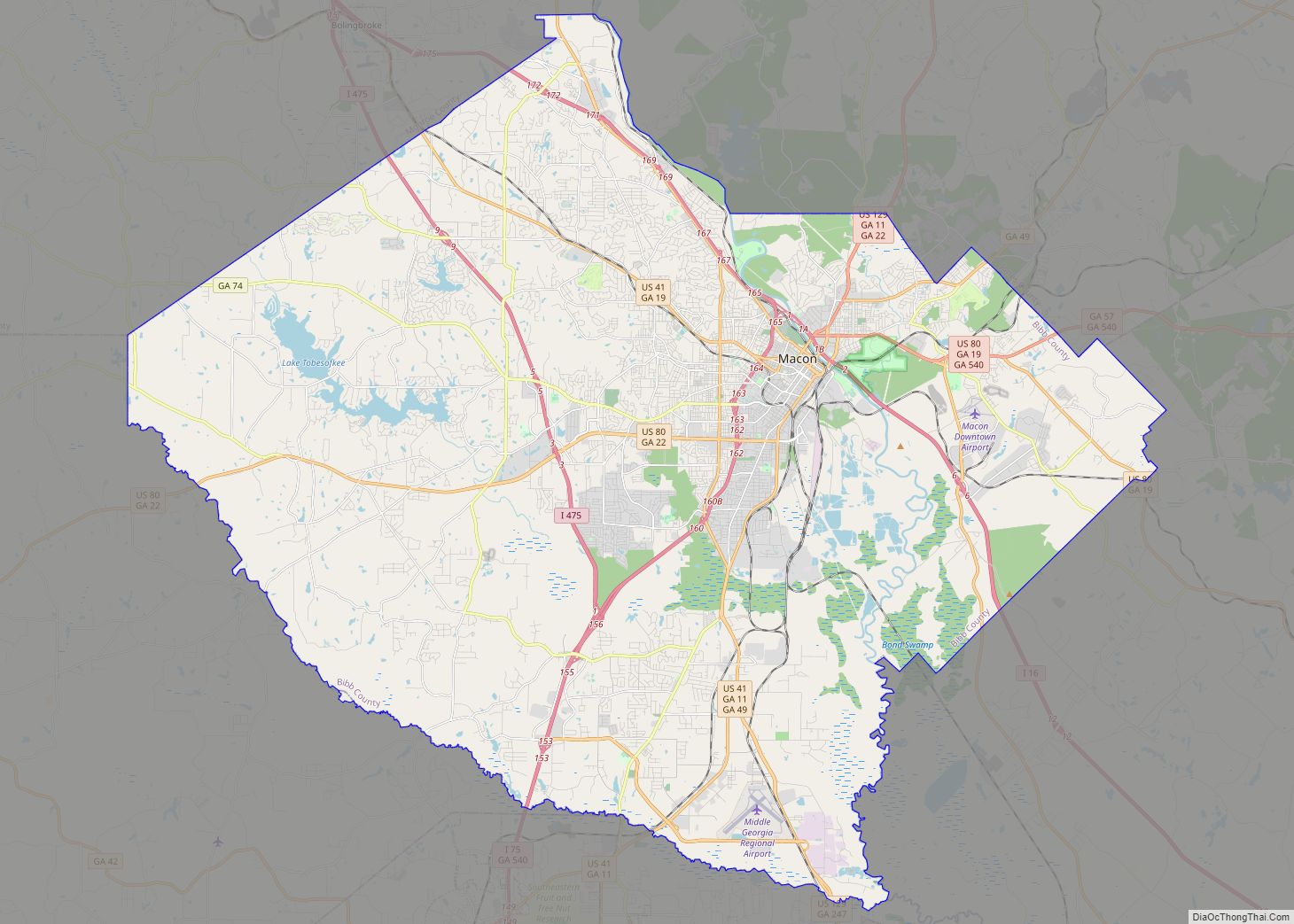
Macon-Bibb County overview: Name: Macon-Bibb County LSAD Code: 00 LSAD Description: 0 State: Georgia FIPS code: 1349008 Online Interactive Map Macon-Bibb County online map. Source: Basemap layers from Google Map, Open Street Map (OSM), Arcgisonline, Wmflabs. Boundary Data from Database of Global Administrative Areas. Macon-Bibb County location map. Where is Macon-Bibb County? Macon-Bibb County Road ... Read more
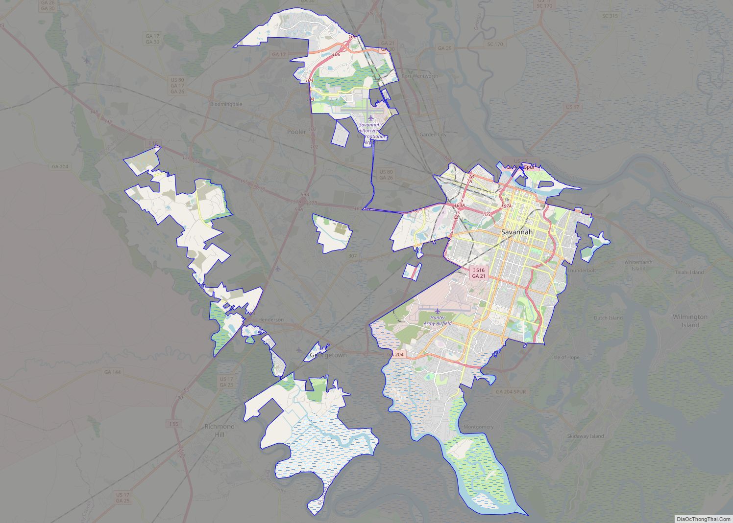
Savannah (/səˈvænə/ sə-VAN-ə) is the oldest city in the U.S. state of Georgia and is the county seat of Chatham County. Established in 1733 on the Savannah River, the city of Savannah became the British colonial capital of the Province of Georgia and later the first state capital of Georgia. A strategic port city in ... Read more
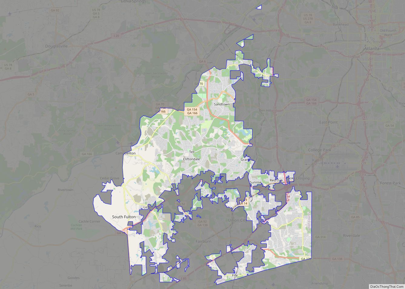
The City of South Fulton is in Fulton County, Georgia, United States, in the Atlanta metropolitan area. It was incorporated in 2017 from parts of southwest Fulton County and includes the communities of Red Oak, Cooks Crossing, Stonewall, Fife, Ben Hill, Sandtown, Cliftondale, Ono, Cedar Grove, Boat Rock/Dry Pond, Maude, Lester, Enon, Welcome All, Peters ... Read more
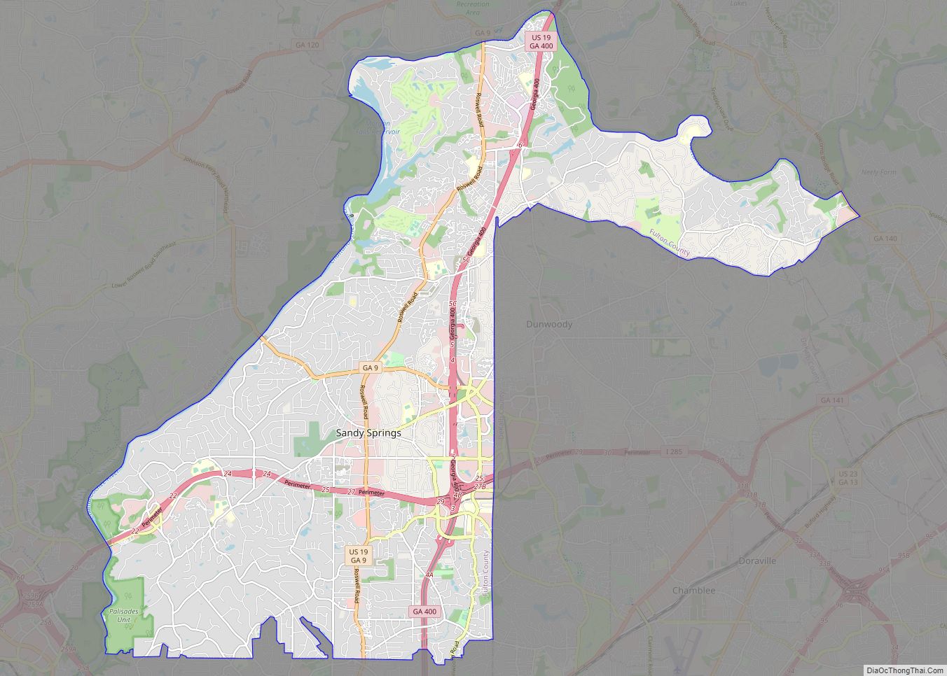
Sandy Springs is a city in northern Fulton County, Georgia, United States, and an inner ring suburb of Atlanta. The city’s population was 108,080 at the 2020 census, making it Georgia’s seventh-largest city. It is the site of several corporate headquarters, including UPS, Newell Brands, Inspire Brands, Focus Brands, Cox Enterprises, and Mercedes-Benz USA’s corporate ... Read more
Brunswick (/ˈbrʌnzwɪk/ BRUN-zwik) is a city in and the county seat of Glynn County in the U.S. state of Georgia. As the primary urban and economic center of the lower southeast portion of Georgia, it is the second-largest urban area on the Georgia coastline after Savannah and contains the Brunswick Old Town Historic District. At ... Read more
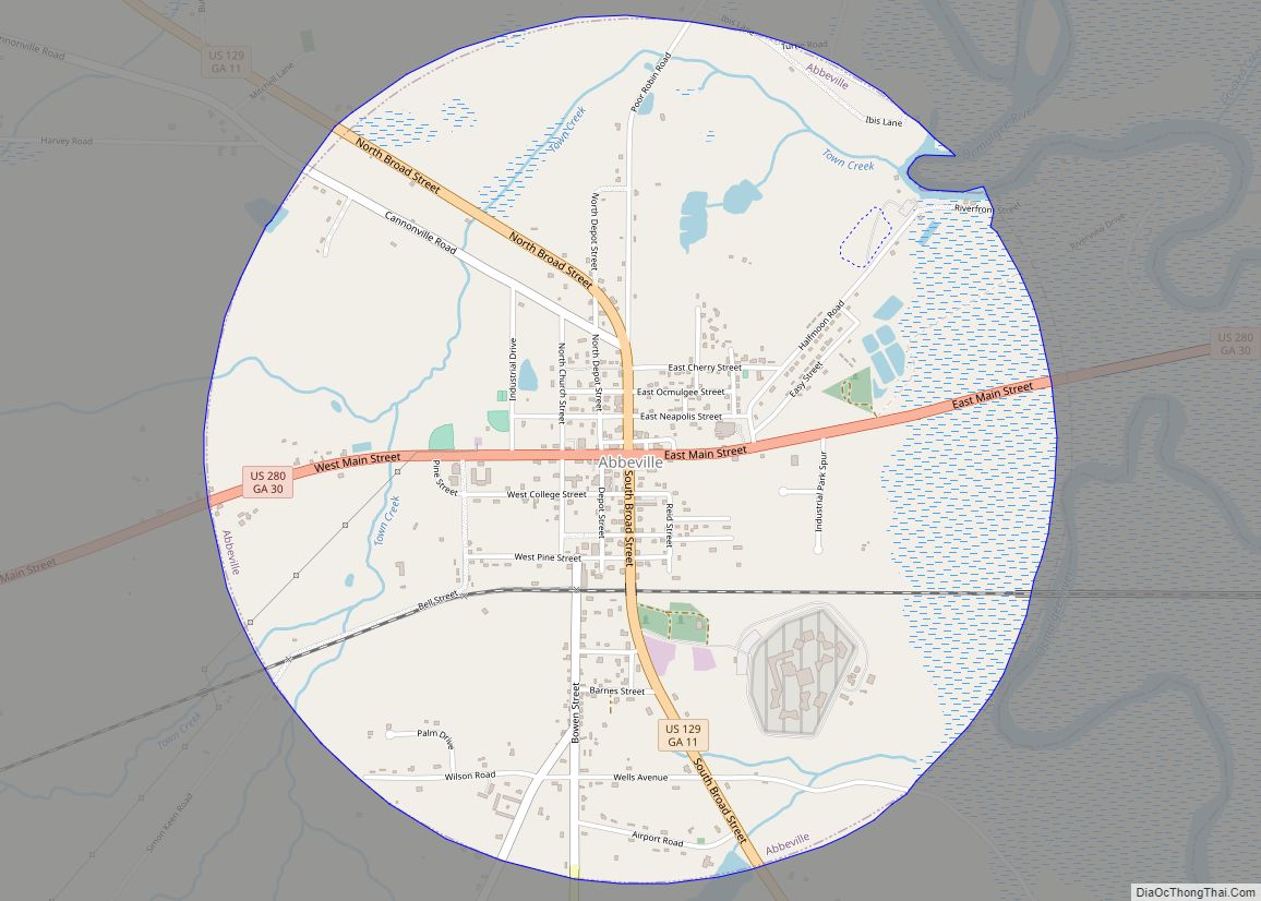
Abbeville is a city in Wilcox County, Georgia, United States. Per the 2020 census, the population was 2,685. The city is the county seat of Wilcox County. Abbeville city overview: Name: Abbeville city LSAD Code: 25 LSAD Description: city (suffix) State: Georgia County: Wilcox County Elevation: 256 ft (78 m) Total Area: 3.09 sq mi (8.01 km²) Land Area: 3.06 sq mi ... Read more
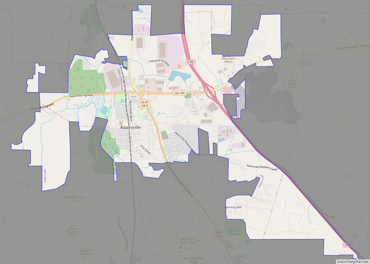
Adairsville is a city in Bartow County, Georgia, United States. As of the 2020 census, the city had a population of 4,878. Adairsville is approximately halfway between Atlanta and Chattanooga on Interstate 75. It is 12 miles (19 km) south of Calhoun, 18 miles (29 km) northeast of Rome and 61 miles (98 km) north of Atlanta. Adairsville ... Read more
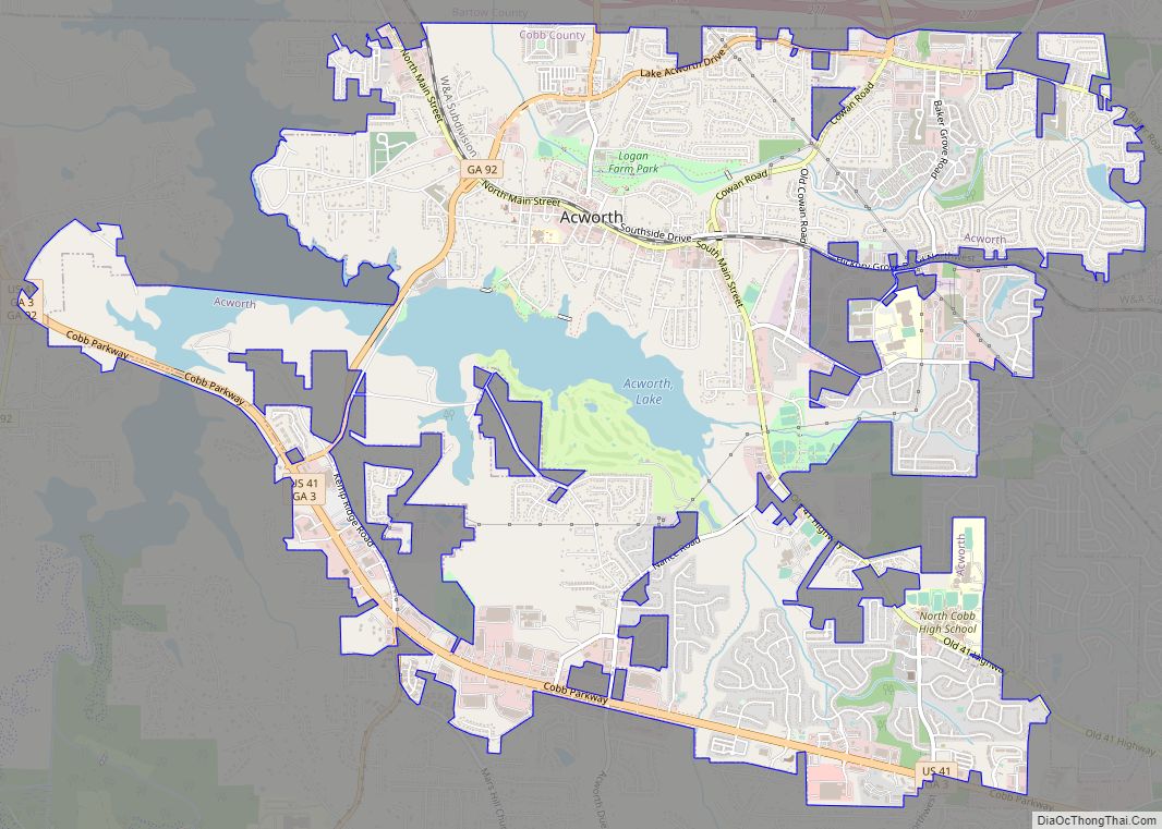
Acworth is a city in Cobb County, Georgia, United States. It is part of the Atlanta metropolitan area. The 2019 estimate for Acworth’s population is 22,818. As of the 2010 census, this city had a population of 20,425, up from 13,422 in 2000. Acworth is located in the foothills of the North Georgia mountains along ... Read more
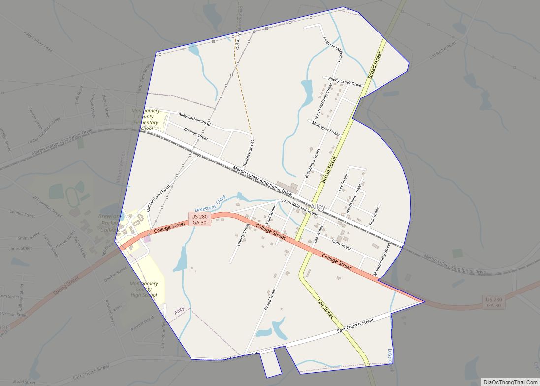
Ailey is a city in Montgomery County, Georgia, United States. As of the 2020 census, the city had a population of 519, up from 432 in 2010. It is part of the Vidalia Micropolitan Statistical Area. Ailey city overview: Name: Ailey city LSAD Code: 25 LSAD Description: city (suffix) State: Georgia County: Montgomery County Elevation: ... Read more
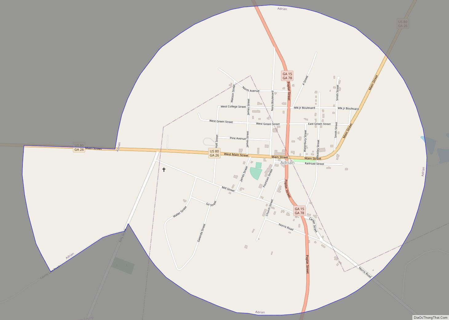
Adrian is a city in the U.S. state of Georgia, in Emanuel and Johnson counties. As of the 2020 census, the city had a population of 552. The Johnson County portion of Adrian is part of the Dublin Micropolitan Statistical Area. Adrian city overview: Name: Adrian city LSAD Code: 25 LSAD Description: city (suffix) State: ... Read more


