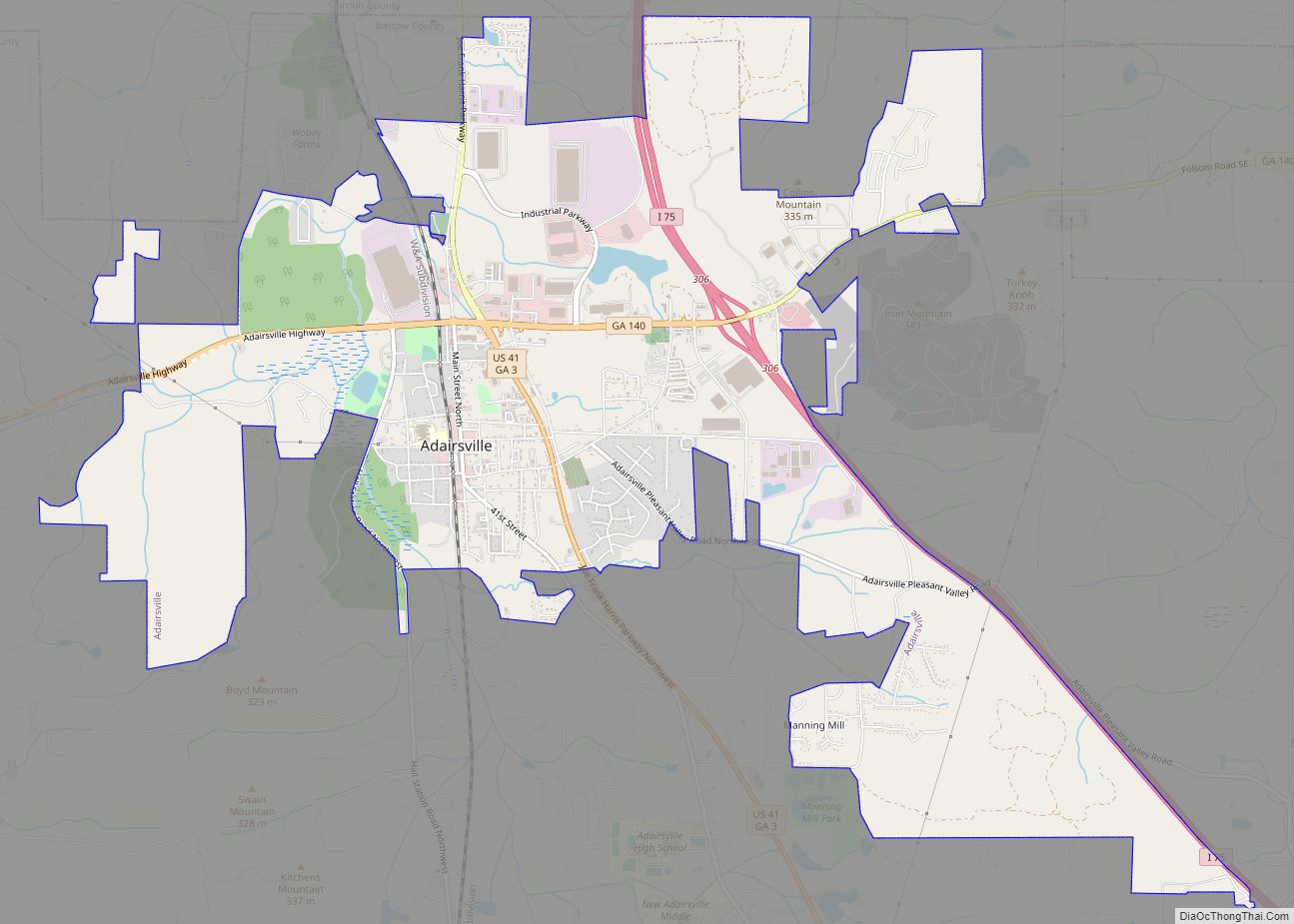
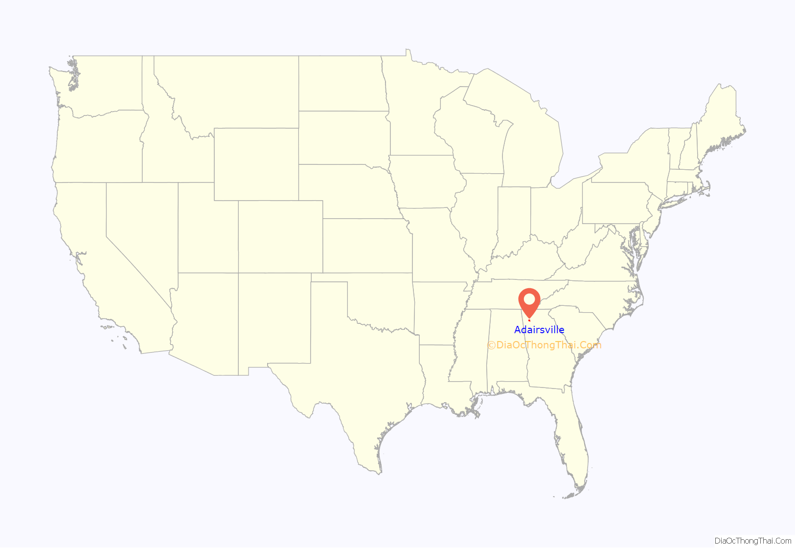
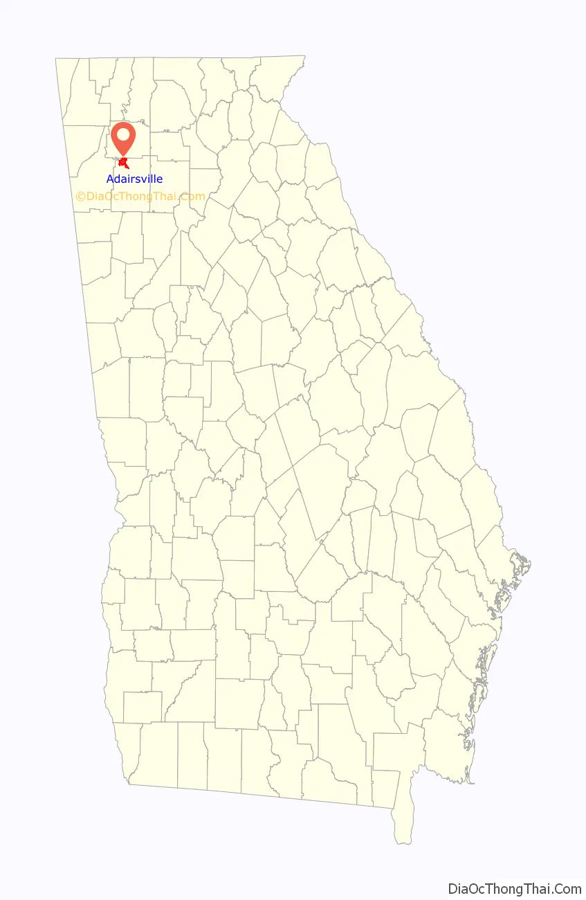
Adairsville is a city in Bartow County, Georgia, United States. As of the 2020 census, the city had a population of 4,878. Adairsville is approximately halfway between Atlanta and Chattanooga on Interstate 75. It is 12 miles (19 km) south of Calhoun, 18 miles (29 km) northeast of Rome and 61 miles (98 km) north of Atlanta.
| Name: | Adairsville city |
|---|---|
| LSAD Code: | 25 |
| LSAD Description: | city (suffix) |
| State: | Georgia |
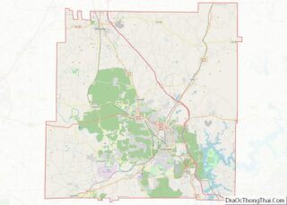
| County: | Bartow County |
| Elevation: | 719 ft (219 m) |
| Total Area: | 9.36 sq mi (24.24 km²) |
| Land Area: | 9.36 sq mi (24.24 km²) |
| Water Area: | 0.00 sq mi (0.00 km²) |
| Total Population: | 4,878 |
| Population Density: | 521.32/sq mi (201.28/km²) |
| ZIP code: | 30103 |
| FIPS code: | 1300436 |
| GNISfeature ID: | 0310389 |
| Website: | www.adairsvillega.net |
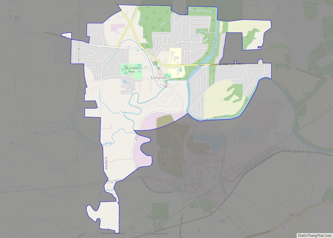
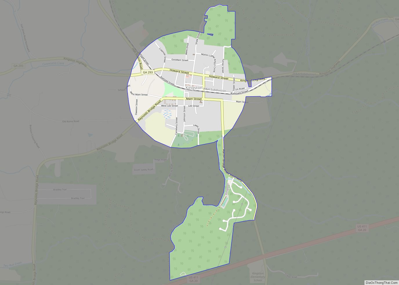
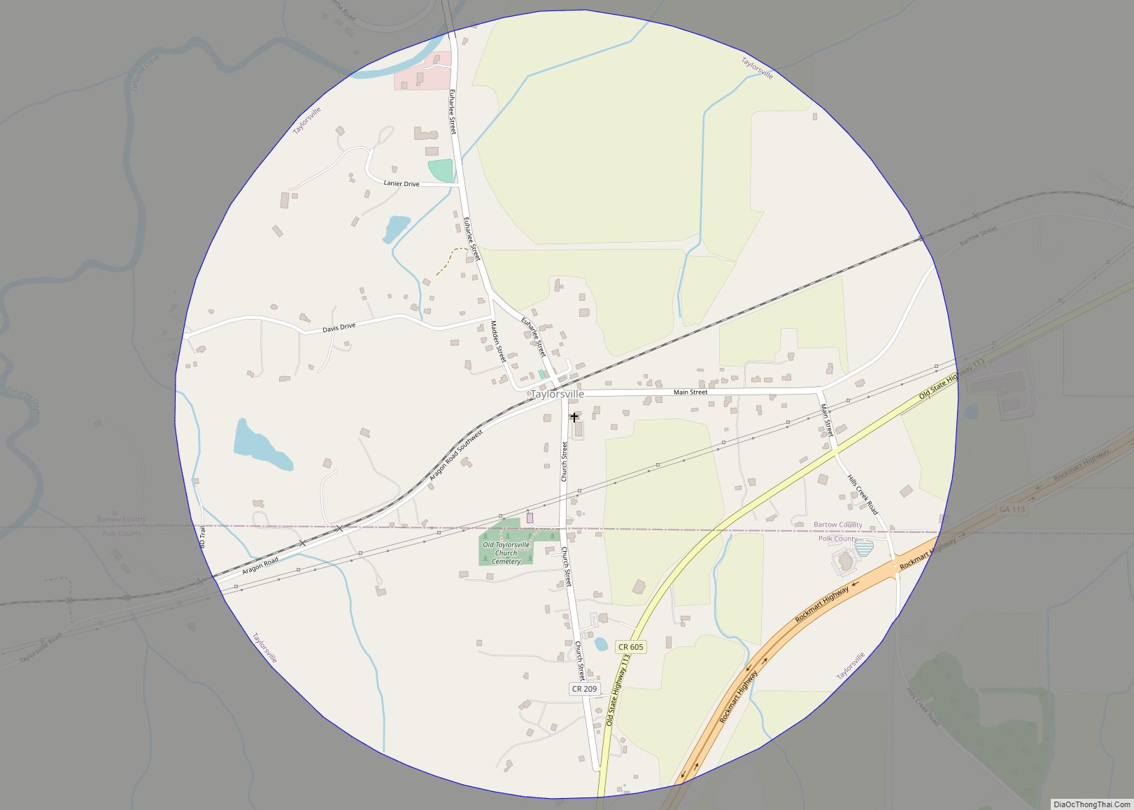
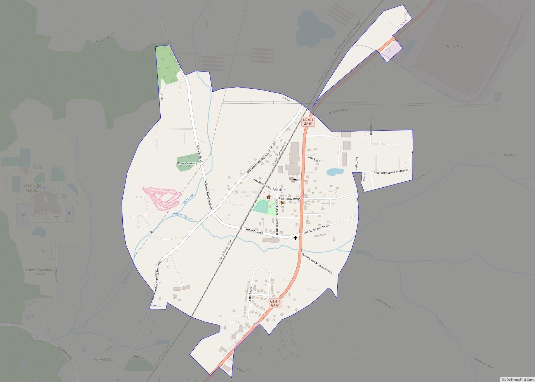
Online Interactive Map
Click on ![]() to view map in "full screen" mode.
to view map in "full screen" mode.
Adairsville location map. Where is Adairsville city?
History
Adairsville used to be a small Cherokee village named after Chief Walter (John) S. Adair, a Scottish settler who married a Cherokee Indian woman before the removal of the Cherokee in 1838. It was part of the Cherokee territory along with Calhoun and including New Echota.
After the removal of the Cherokees, the village became part of Georgia, and the residents kept the name Adairsville. One of the town’s developers was William Watts, who had a railroad business interest in the town. He had brought the Western and Atlantic Railroad from Atlanta (still in use). He deeded land to the railroad and surveyed business lots including hotels, mills, and blacksmith shops around town. Watts’s plan was successful and brought the town the nickname “Granary of the State”; it was incorporated in 1854. He lived in Adairsville in a home built on the foundation of an Indian cabin, on a hill overlooking the town.
During the Civil War, Adairsville was involved on the side of the Confederate States of America in 1861 against the Union. On April 12, 1862, the steam locomotive The General was pursued from Atlanta and passed through Adairsville as its people the Great Locomotive Chase. After that, Adairians set a three-day street festival in remembrance of the Chase. The Civil War came to the town in full force on May 17, 1864, when the Confederate army failed to defeat Sherman and his Union army during the Atlanta Campaign in the Battle of Adairsville. After the Civil War ended in 1865, Adairsville rebuilt and became a center of the carpet and textile industries, and of farm and transportation services, including its famous railroad. Historic buildings still intact in the town include the original train depot, which was involved in the Great Locomotive Chase.
Adairsville is well known for Barnsley Gardens. Now a golf resort, Barnsley Gardens is southwest of the city center. The home was built by Sir Godfrey Barnsley of Derbyshire, England, in the late 1840s for his wife, Julia. She died before the house could be completed, but it is said that her ghost appeared to Sir Godfrey, telling him to complete the work. It was brought about by the visions of Andrew Jackson Downing, the architect who designed the grounds of the U.S. Capitol and White House. The ruins of the great main house remain. Almost lost to time and the elements, the land, including all of the ruins, was bought in 1988 by Prince Hubertus Fugger, who restored the gardens and renovated the grounds into an upscale golf resort.
On January 30, 2013, at approximately 11:30 am, the city was struck by a violent high-end EF3 tornado, leaving one dead, dozens injured, and hundreds of businesses and residences destroyed.
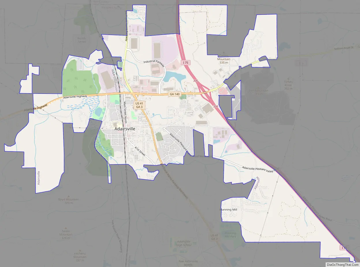
Adairsville Road Map
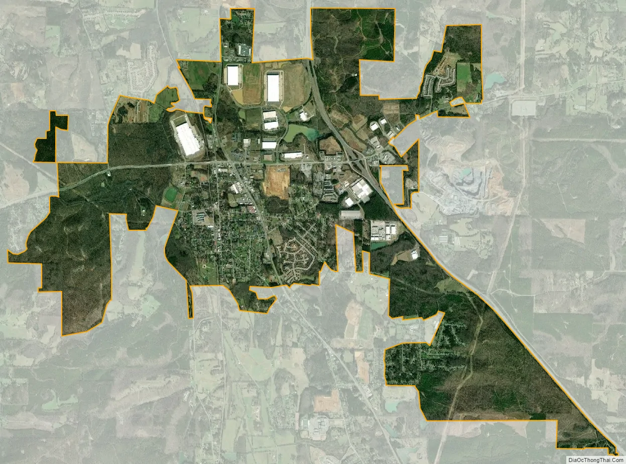
Adairsville city Satellite Map
Geography
Adairsville is an exurban city at the northwest edge of metro Atlanta, at 34°22′6″N 84°55′42″W / 34.36833°N 84.92833°W / 34.36833; -84.92833 (34.368925, −84.928212). U.S. Route 41 passes through the city, leading north to Calhoun and south to Cartersville. Interstate 75 runs through the eastern part of the city, with access from Exit 306 (State Route 140).
According to the United States Census Bureau, the city has a total area of 9.1 square miles (23.6 km), all land.
Climate
Adairsville’s climate is characterized by relatively high temperatures and evenly distributed precipitation throughout the year. According to the Köppen Climate Classification system, it has a humid subtropical climate, abbreviated “Cfa” on climate maps.
See also
Map of Georgia State and its subdivision:- Appling
- Atkinson
- Bacon
- Baker
- Baldwin
- Banks
- Barrow
- Bartow
- Ben Hill
- Berrien
- Bibb
- Bleckley
- Brantley
- Brooks
- Bryan
- Bulloch
- Burke
- Butts
- Calhoun
- Camden
- Candler
- Carroll
- Catoosa
- Charlton
- Chatham
- Chattahoochee
- Chattooga
- Cherokee
- Clarke
- Clay
- Clayton
- Clinch
- Cobb
- Coffee
- Colquitt
- Columbia
- Cook
- Coweta
- Crawford
- Crisp
- Dade
- Dawson
- Decatur
- DeKalb
- Dodge
- Dooly
- Dougherty
- Douglas
- Early
- Echols
- Effingham
- Elbert
- Emanuel
- Evans
- Fannin
- Fayette
- Floyd
- Forsyth
- Franklin
- Fulton
- Gilmer
- Glascock
- Glynn
- Gordon
- Grady
- Greene
- Gwinnett
- Habersham
- Hall
- Hancock
- Haralson
- Harris
- Hart
- Heard
- Henry
- Houston
- Irwin
- Jackson
- Jasper
- Jeff Davis
- Jefferson
- Jenkins
- Johnson
- Jones
- Lamar
- Lanier
- Laurens
- Lee
- Liberty
- Lincoln
- Long
- Lowndes
- Lumpkin
- Macon
- Madison
- Marion
- McDuffie
- McIntosh
- Meriwether
- Miller
- Mitchell
- Monroe
- Montgomery
- Morgan
- Murray
- Muscogee
- Newton
- Oconee
- Oglethorpe
- Paulding
- Peach
- Pickens
- Pierce
- Pike
- Polk
- Pulaski
- Putnam
- Quitman
- Rabun
- Randolph
- Richmond
- Rockdale
- Schley
- Screven
- Seminole
- Spalding
- Stephens
- Stewart
- Sumter
- Talbot
- Taliaferro
- Tattnall
- Taylor
- Telfair
- Terrell
- Thomas
- Tift
- Toombs
- Towns
- Treutlen
- Troup
- Turner
- Twiggs
- Union
- Upson
- Walker
- Walton
- Ware
- Warren
- Washington
- Wayne
- Webster
- Wheeler
- White
- Whitfield
- Wilcox
- Wilkes
- Wilkinson
- Worth
- Alabama
- Alaska
- Arizona
- Arkansas
- California
- Colorado
- Connecticut
- Delaware
- District of Columbia
- Florida
- Georgia
- Hawaii
- Idaho
- Illinois
- Indiana
- Iowa
- Kansas
- Kentucky
- Louisiana
- Maine
- Maryland
- Massachusetts
- Michigan
- Minnesota
- Mississippi
- Missouri
- Montana
- Nebraska
- Nevada
- New Hampshire
- New Jersey
- New Mexico
- New York
- North Carolina
- North Dakota
- Ohio
- Oklahoma
- Oregon
- Pennsylvania
- Rhode Island
- South Carolina
- South Dakota
- Tennessee
- Texas
- Utah
- Vermont
- Virginia
- Washington
- West Virginia
- Wisconsin
- Wyoming