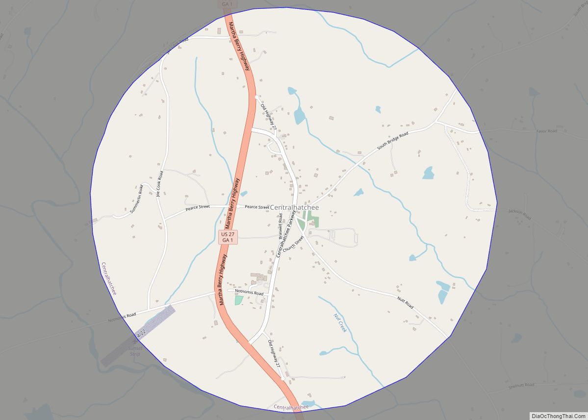
Centralhatchee is a small village in Heard County, Georgia, United States. The population was 408 at the 2010 census. Centralhatchee town overview: Name: Centralhatchee town LSAD Code: 43 LSAD Description: town (suffix) State: Georgia County: Heard County Elevation: 846 ft (258 m) Total Area: 3.28 sq mi (8.49 km²) Land Area: 3.28 sq mi (8.49 km²) Water Area: 0.00 sq mi (0.00 km²) Total Population: 348 ... Read more
Georgia Cities and Places
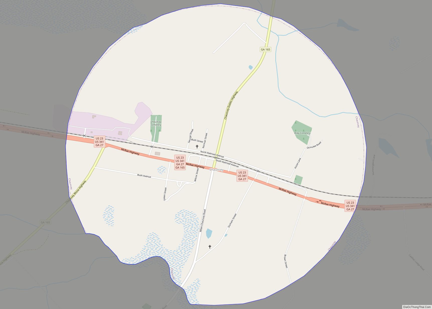
Chauncey is a city in Dodge County, Georgia, United States. The population was 289 at the 2020 census. It was formed around station number twelve on the Macon and Brunswick Railroad. Chauncey city overview: Name: Chauncey city LSAD Code: 25 LSAD Description: city (suffix) State: Georgia County: Dodge County Elevation: 308 ft (94 m) Total Area: 1.73 sq mi ... Read more
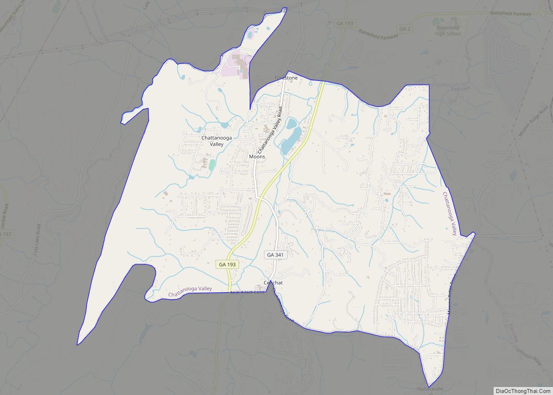
Chattanooga Valley is a census-designated place (CDP) in Walker County, Georgia, United States. The population was 3,962 at the 2020 census. It is part of the Chattanooga, TN–GA Metropolitan Statistical Area. Chattanooga is a Muskogean-language name meaning “rock coming to a point”. Chattanooga Valley CDP overview: Name: Chattanooga Valley CDP LSAD Code: 57 LSAD Description: ... Read more
Chattahoochee Hills (formerly Chattahoochee Hill Country) is a city in southern Fulton County, Georgia, United States. As of the 2010 census, it had a population of 2,378 living in an area of just over 32,000 acres (130 km). The population in 2019 was estimated to 3,318 in an area of approximately 37,473 acres (151.65 km) acres after ... Read more
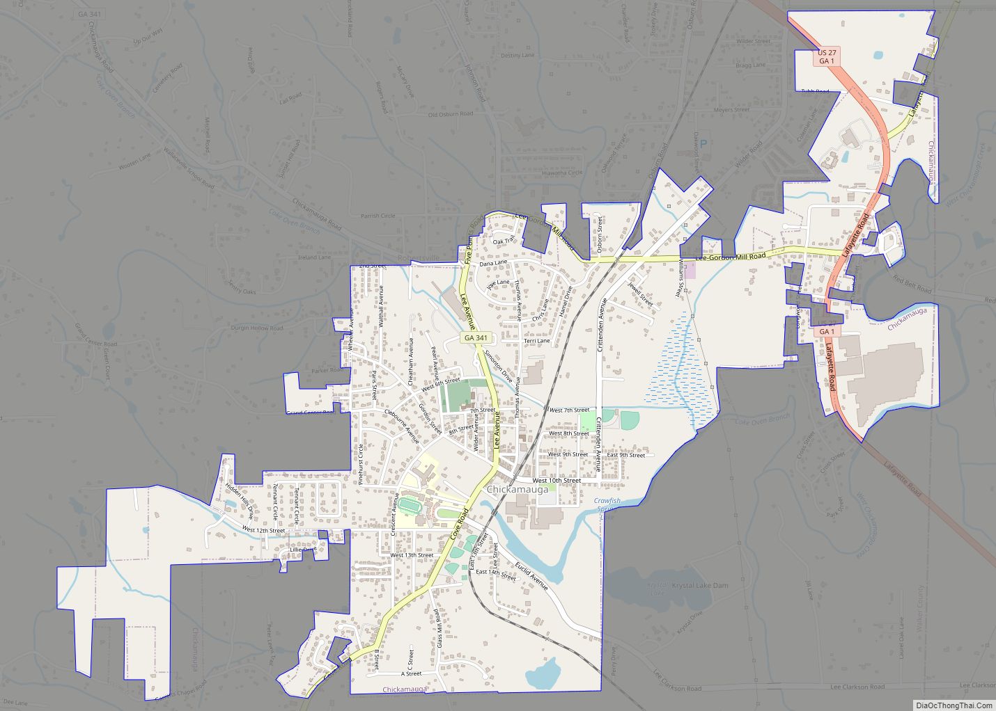
Chickamauga is a city in Walker County, Georgia, United States. The population was 2,917 at the 2020 census. It is part of the Chattanooga, TN–GA Metropolitan Statistical Area. Chickamauga city overview: Name: Chickamauga city LSAD Code: 25 LSAD Description: city (suffix) State: Georgia County: Walker County Elevation: 732 ft (223 m) Total Area: 2.86 sq mi (7.41 km²) Land Area: ... Read more
Chester is a town in Dodge County, Georgia, United States. The population was 1,596 at the 2010 census, up from 305 in 2000, due to inclusion of Dodge State Prison within the town limits. Chester town overview: Name: Chester town LSAD Code: 43 LSAD Description: town (suffix) State: Georgia County: Dodge County Elevation: 367 ft (112 m) ... Read more
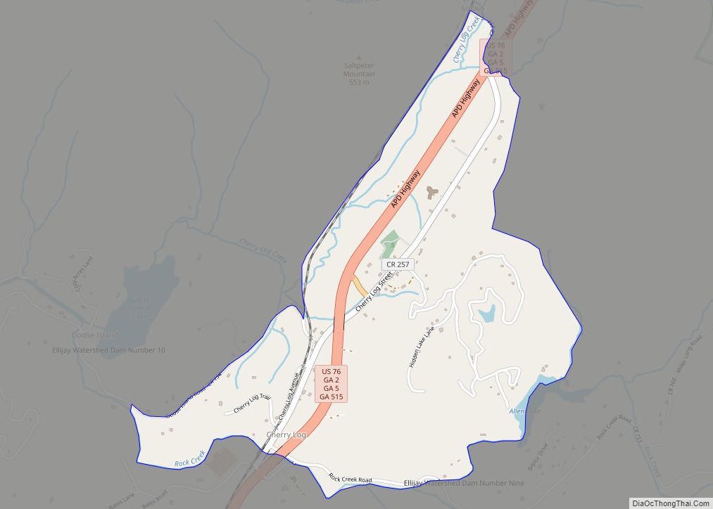
Cherry Log is a census-designated place and unincorporated community in Gilmer County, Georgia, United States. Its population was 99 as of the 2020 census. Cherry Log has a post office with ZIP code 30522. U.S. Route 76 passes through the community. Through the heart of Cherry Log runs Cherry Log Street, on which is found ... Read more
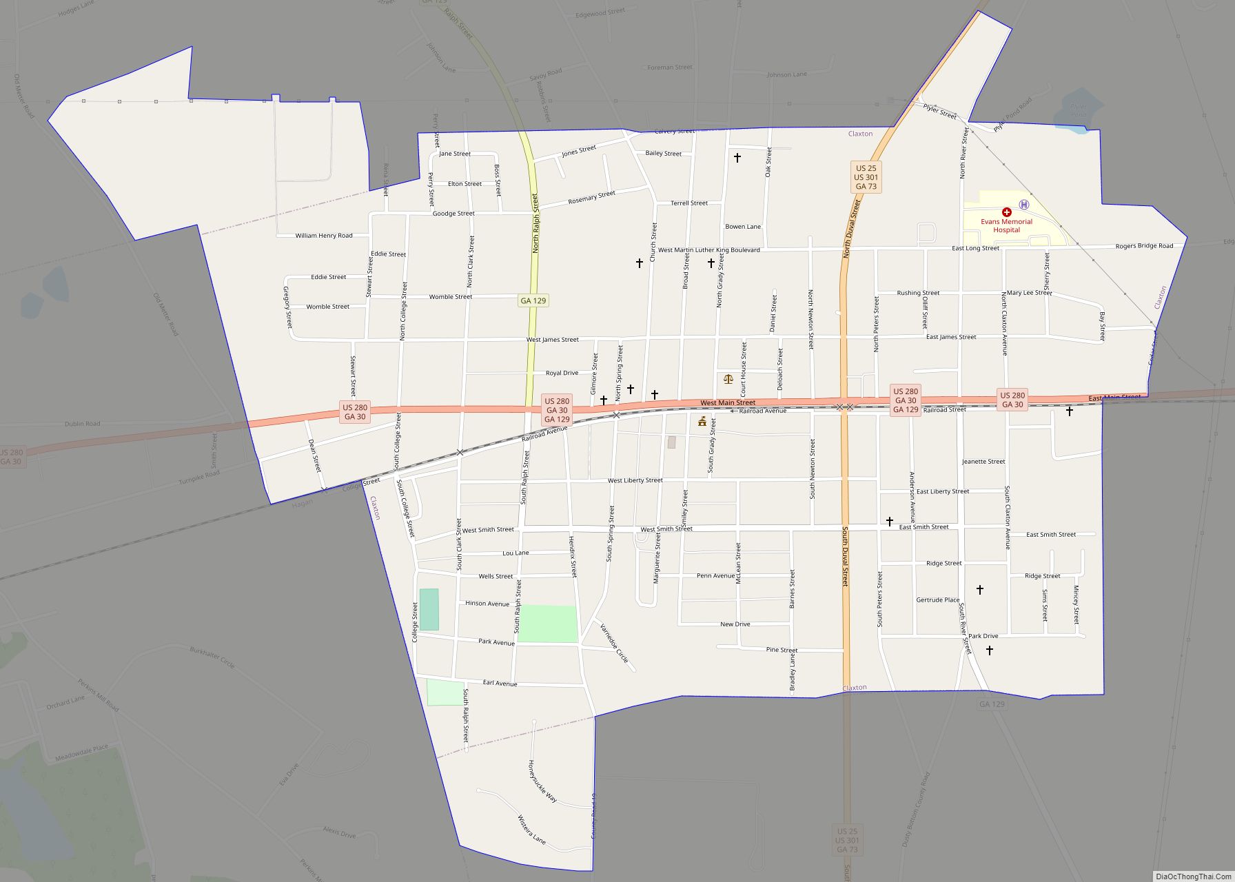
Claxton is a city in Evans County, Georgia, United States. The population was 2,746 at the 2010 census, up from 2,276 in 2000. It is the county seat of Evans County. Claxton city overview: Name: Claxton city LSAD Code: 25 LSAD Description: city (suffix) State: Georgia County: Evans County Founded: May 1890 Incorporated: April 1894 ... Read more
Clarkston is a city in DeKalb County, Georgia, United States. The population was 7,554 as of the 2010 census. The city is noted for its ethnic diversity, and is often referred to as “the most diverse square mile in America” and “the Ellis Island of the South.” In the 1990s, refugee resettlement programs identified Clarkston ... Read more
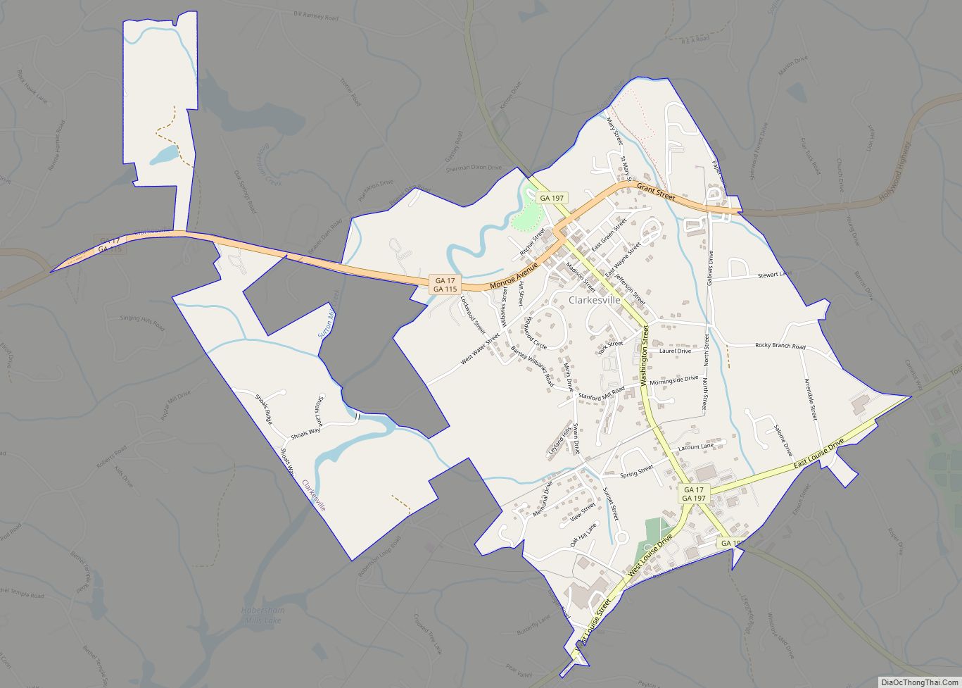
Clarkesville is a city that is the county seat of Habersham County, Georgia, United States. As of the 2020 census, it had a population of 1,911, up from the 2010 census population of 1,733, up from 1,248 at the 2000 census. Clarkesville city overview: Name: Clarkesville city LSAD Code: 25 LSAD Description: city (suffix) State: ... Read more
Cleveland is a city in White County, Georgia, located 90 miles (140 km) northeast of Atlanta and 128 miles (206 km) southeast of Chattanooga, Tennessee. Its population was 3,410 at the 2010 census (up from 1,907 in 2000). It is the county seat of White County. Cleveland is home to the North Georgia Zoo and Petting Farm, ... Read more
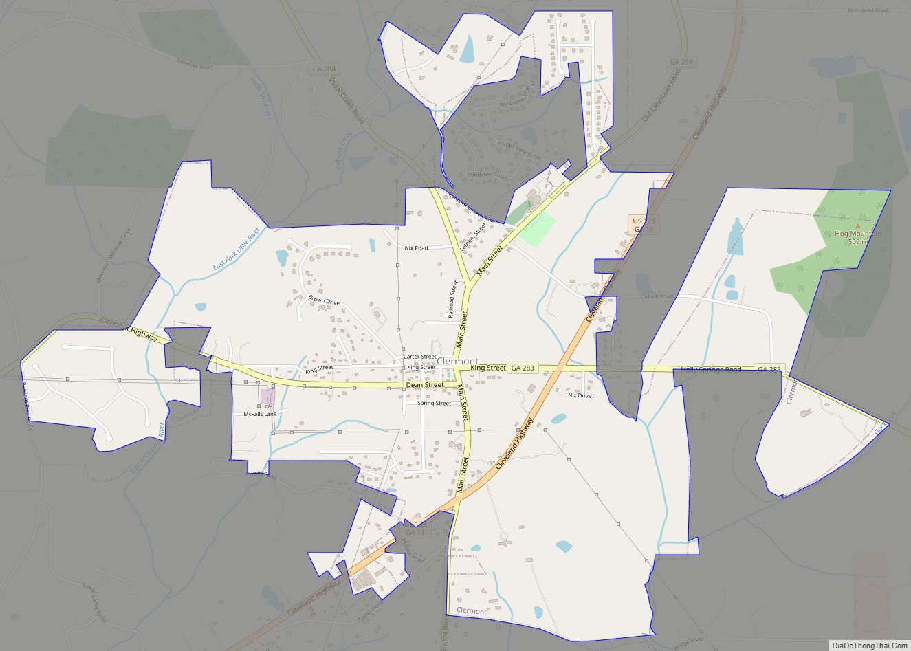
Clermont is a town in Hall County, Georgia, United States. The population was 875 at the 2010 census. It is part of the Gainesville, Georgia Metropolitan Statistical Area. Clermont town overview: Name: Clermont town LSAD Code: 43 LSAD Description: town (suffix) State: Georgia County: Hall County Elevation: 1,401 ft (427 m) Total Area: 2.97 sq mi (7.69 km²) Land Area: ... Read more
