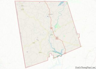
Centralhatchee is a small village in Heard County, Georgia, United States. The population was 408 at the 2010 census.
| Name: | Centralhatchee town |
|---|---|
| LSAD Code: | 43 |
| LSAD Description: | town (suffix) |
| State: | Georgia |
| County: | Heard County |
| Elevation: | 846 ft (258 m) |
| Total Area: | 3.28 sq mi (8.49 km²) |
| Land Area: | 3.28 sq mi (8.49 km²) |
| Water Area: | 0.00 sq mi (0.00 km²) |
| Total Population: | 348 |
| Population Density: | 106.19/sq mi (41.01/km²) |
| ZIP code: | 30217 |
| Area code: | 706 |
| FIPS code: | 1315026 |
| GNISfeature ID: | 0355098 |
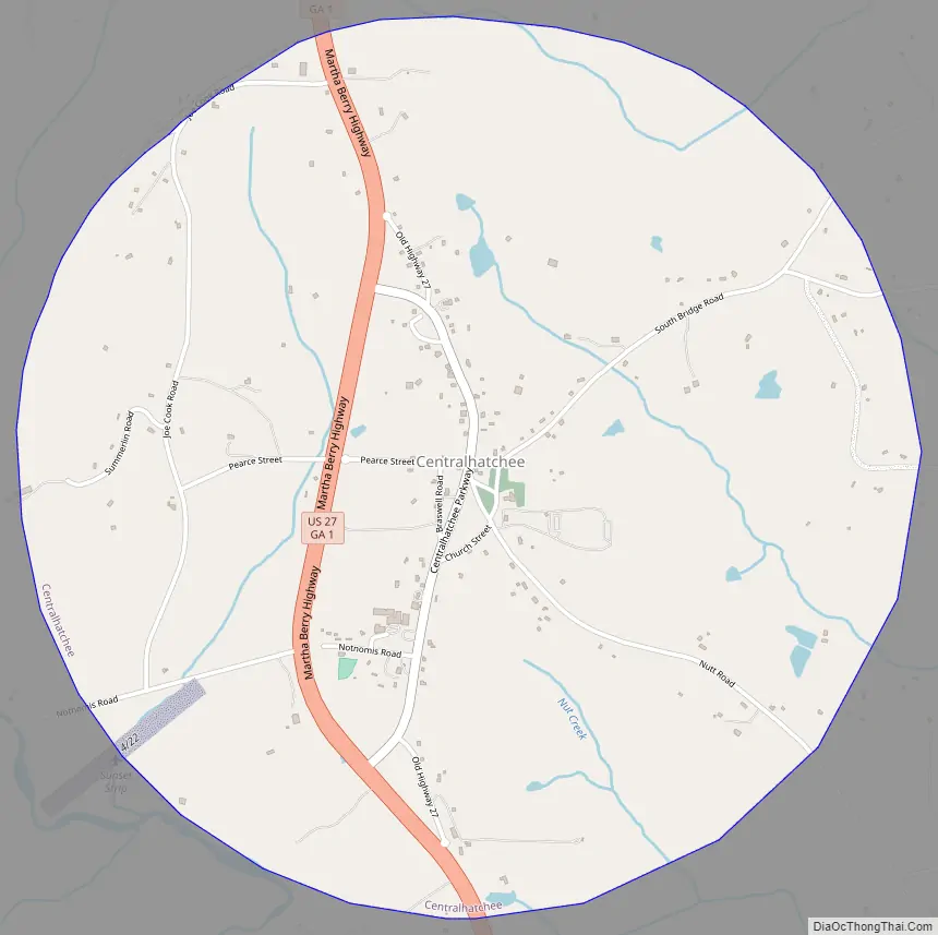
Online Interactive Map
Click on ![]() to view map in "full screen" mode.
to view map in "full screen" mode.
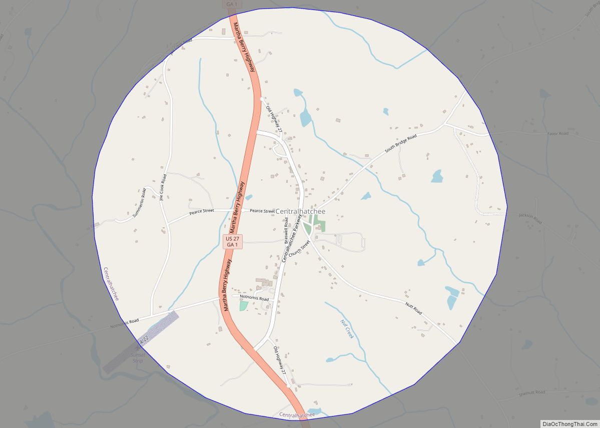
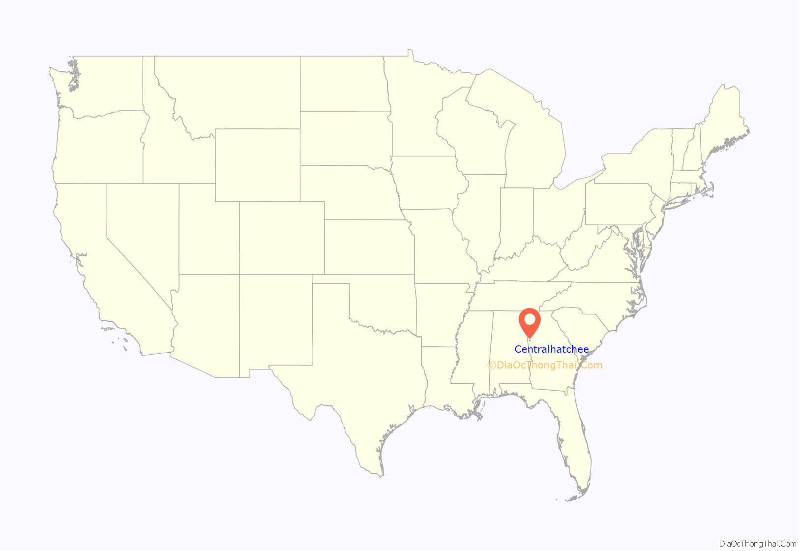
Centralhatchee location map. Where is Centralhatchee town?

History
The town of Centralhatchee was originally a militia district known as “Black Ankle”. The community of Glenloch, to the north, was known as “Blue Shin”. The geographic configuration of these two communities, according to Native American legend, resembled the ankle and shin portion of the leg and foot. The town became part of Heard County when the county was formed from parts of Carroll, Troup and Coweta counties in 1830.
The town was chartered in 1903 with the name “Centralhatchee”. The community takes its name from nearby Centralhatchee Creek.
Centralhatchee Road Map
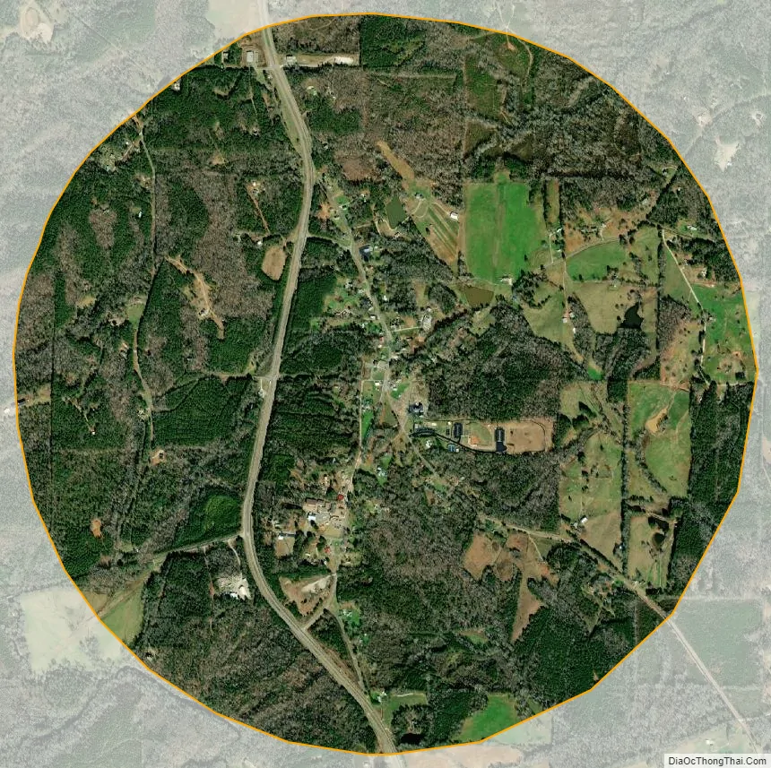
Centralhatchee city Satellite Map
Geography
Centralhatchee is located in northern Heard County at 33°22′7″N 85°6′15″W / 33.36861°N 85.10417°W / 33.36861; -85.10417 (33.368476, -85.104182). Centralhatchee Creek, a south-flowing tributary of the Chattahoochee River, passes just outside of the town limits to the west.
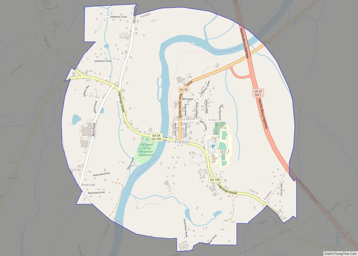
U.S. Route 27, a four-lane highway, passes through the west side of town, leading south 7 miles (11 km) to Franklin, the Heard County seat, and north 16 miles (26 km) to Carrollton.
According to the United States Census Bureau, the town has a total area of 3.3 square miles (8.5 km), all land.
See also
Map of Georgia State and its subdivision:- Appling
- Atkinson
- Bacon
- Baker
- Baldwin
- Banks
- Barrow
- Bartow
- Ben Hill
- Berrien
- Bibb
- Bleckley
- Brantley
- Brooks
- Bryan
- Bulloch
- Burke
- Butts
- Calhoun
- Camden
- Candler
- Carroll
- Catoosa
- Charlton
- Chatham
- Chattahoochee
- Chattooga
- Cherokee
- Clarke
- Clay
- Clayton
- Clinch
- Cobb
- Coffee
- Colquitt
- Columbia
- Cook
- Coweta
- Crawford
- Crisp
- Dade
- Dawson
- Decatur
- DeKalb
- Dodge
- Dooly
- Dougherty
- Douglas
- Early
- Echols
- Effingham
- Elbert
- Emanuel
- Evans
- Fannin
- Fayette
- Floyd
- Forsyth
- Franklin
- Fulton
- Gilmer
- Glascock
- Glynn
- Gordon
- Grady
- Greene
- Gwinnett
- Habersham
- Hall
- Hancock
- Haralson
- Harris
- Hart
- Heard
- Henry
- Houston
- Irwin
- Jackson
- Jasper
- Jeff Davis
- Jefferson
- Jenkins
- Johnson
- Jones
- Lamar
- Lanier
- Laurens
- Lee
- Liberty
- Lincoln
- Long
- Lowndes
- Lumpkin
- Macon
- Madison
- Marion
- McDuffie
- McIntosh
- Meriwether
- Miller
- Mitchell
- Monroe
- Montgomery
- Morgan
- Murray
- Muscogee
- Newton
- Oconee
- Oglethorpe
- Paulding
- Peach
- Pickens
- Pierce
- Pike
- Polk
- Pulaski
- Putnam
- Quitman
- Rabun
- Randolph
- Richmond
- Rockdale
- Schley
- Screven
- Seminole
- Spalding
- Stephens
- Stewart
- Sumter
- Talbot
- Taliaferro
- Tattnall
- Taylor
- Telfair
- Terrell
- Thomas
- Tift
- Toombs
- Towns
- Treutlen
- Troup
- Turner
- Twiggs
- Union
- Upson
- Walker
- Walton
- Ware
- Warren
- Washington
- Wayne
- Webster
- Wheeler
- White
- Whitfield
- Wilcox
- Wilkes
- Wilkinson
- Worth
- Alabama
- Alaska
- Arizona
- Arkansas
- California
- Colorado
- Connecticut
- Delaware
- District of Columbia
- Florida
- Georgia
- Hawaii
- Idaho
- Illinois
- Indiana
- Iowa
- Kansas
- Kentucky
- Louisiana
- Maine
- Maryland
- Massachusetts
- Michigan
- Minnesota
- Mississippi
- Missouri
- Montana
- Nebraska
- Nevada
- New Hampshire
- New Jersey
- New Mexico
- New York
- North Carolina
- North Dakota
- Ohio
- Oklahoma
- Oregon
- Pennsylvania
- Rhode Island
- South Carolina
- South Dakota
- Tennessee
- Texas
- Utah
- Vermont
- Virginia
- Washington
- West Virginia
- Wisconsin
- Wyoming