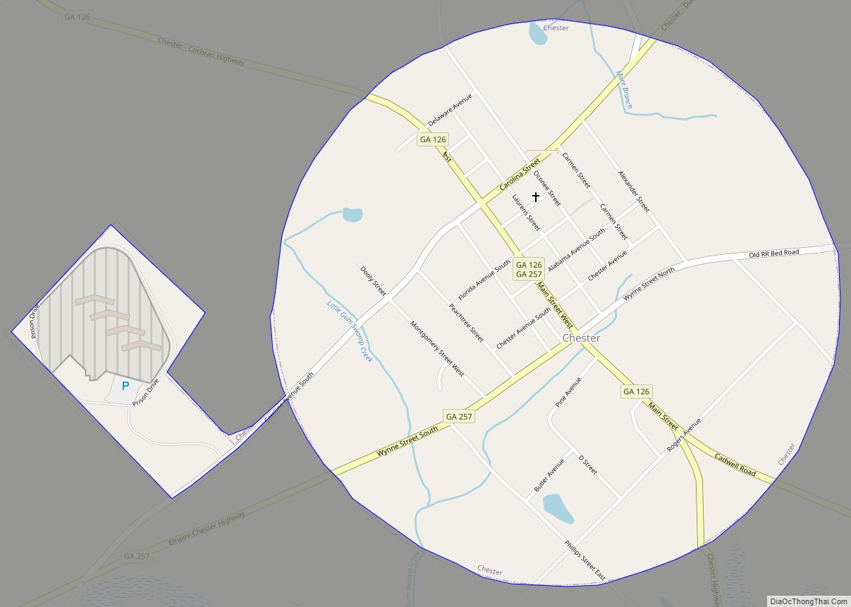
Chester is a town in Dodge County, Georgia, United States. The population was 1,596 at the 2010 census, up from 305 in 2000, due to inclusion of Dodge State Prison within the town limits.
| Name: | Chester town |
|---|---|
| LSAD Code: | 43 |
| LSAD Description: | town (suffix) |
| State: | Georgia |
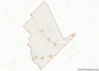
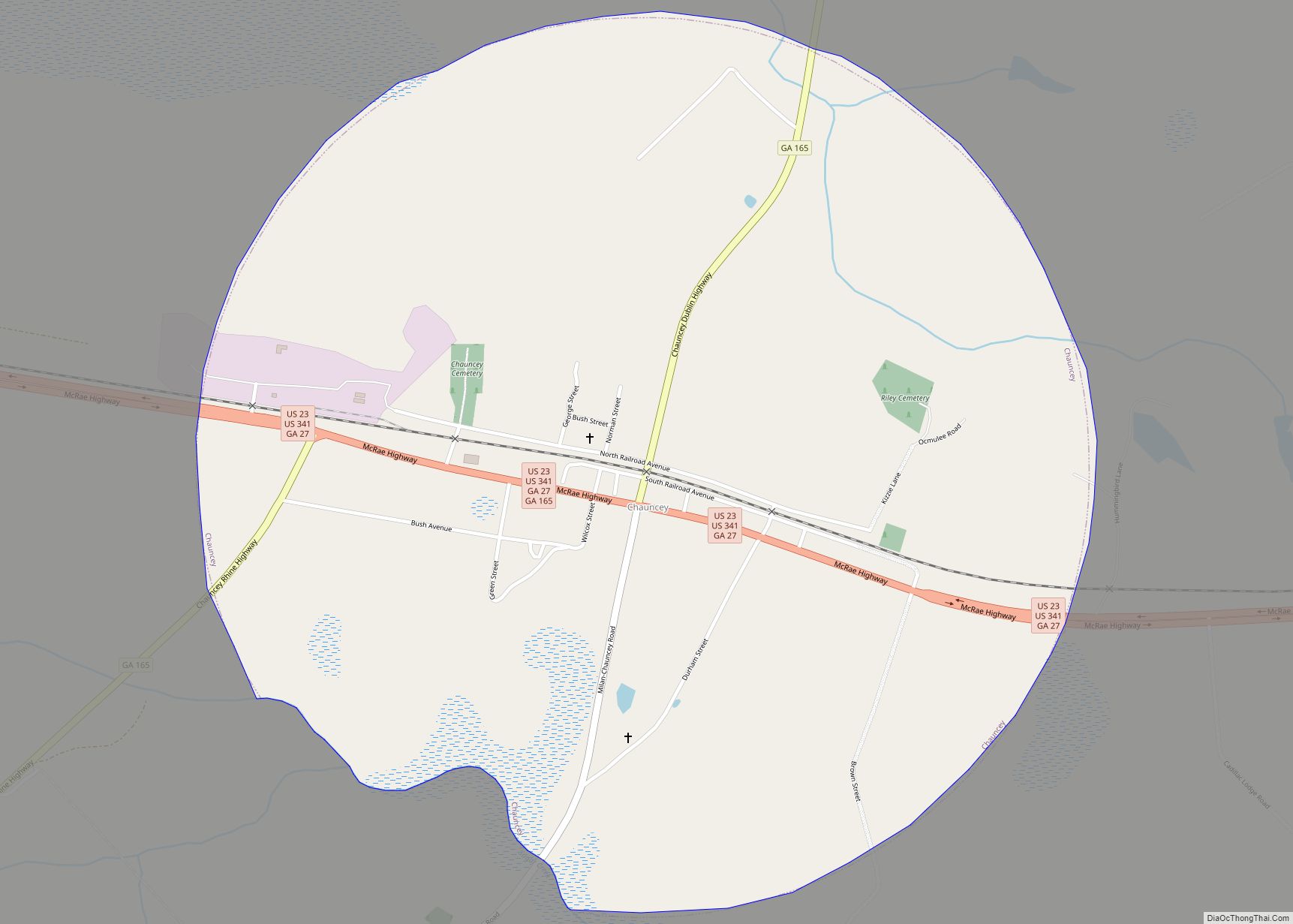
| County: | Dodge County |
| Elevation: | 367 ft (112 m) |
| Total Area: | 0.88 sq mi (2.29 km²) |
| Land Area: | 0.88 sq mi (2.28 km²) |
| Water Area: | 0.00 sq mi (0.01 km²) |
| Total Population: | 525 |
| Population Density: | 595.91/sq mi (230.21/km²) |
| ZIP code: | 31012 |
| Area code: | 478 |
| FIPS code: | 1315900 |
| GNISfeature ID: | 0331384 |
Online Interactive Map
Click on ![]() to view map in "full screen" mode.
to view map in "full screen" mode.
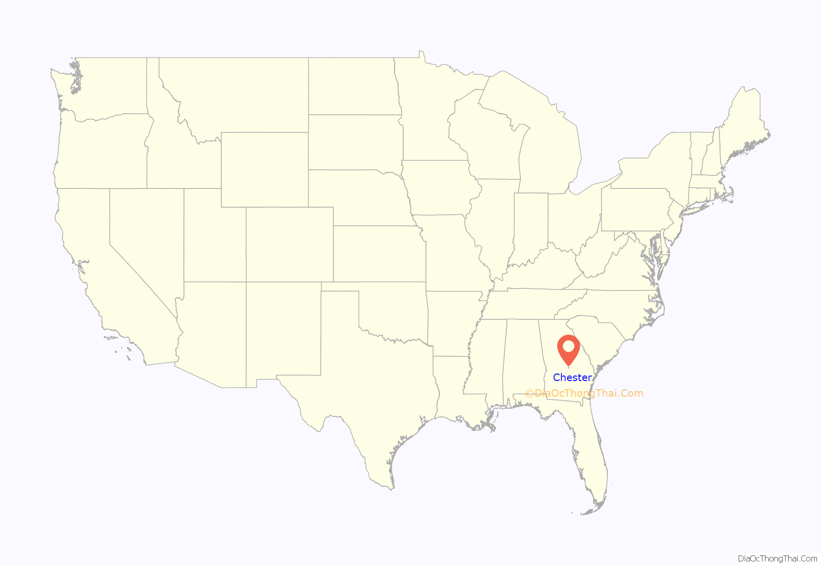
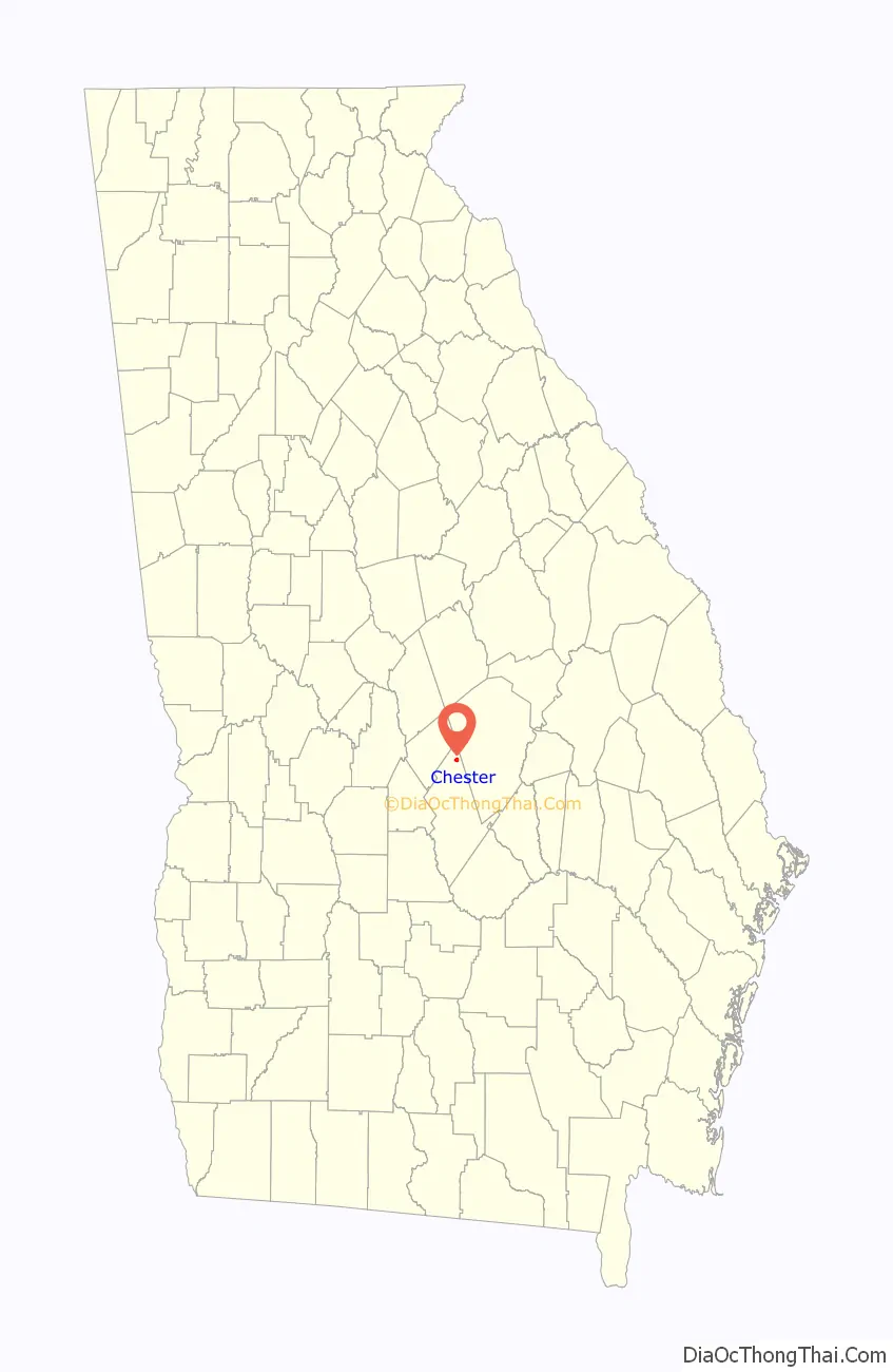
Chester location map. Where is Chester town?
History
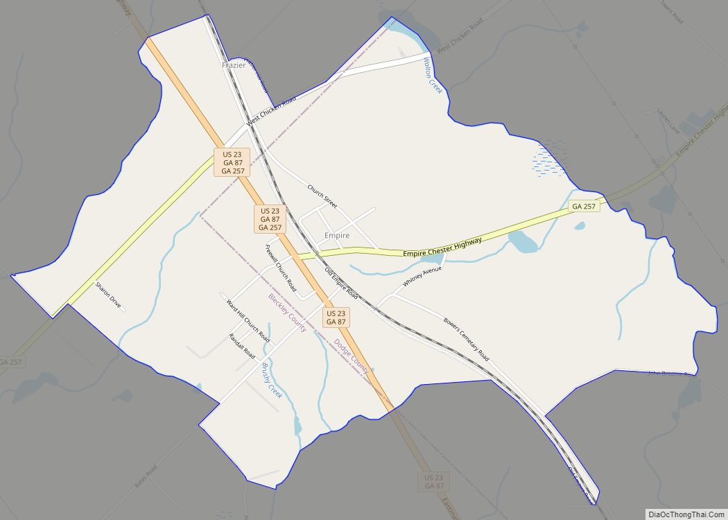
The town takes its name from Chester, New York. The Georgia General Assembly incorporated the place in 1902 as the “Town of Chester”, with municipal corporate limits extending in a one-mile radius from the Wrightsville and Tennille Railroad depot.
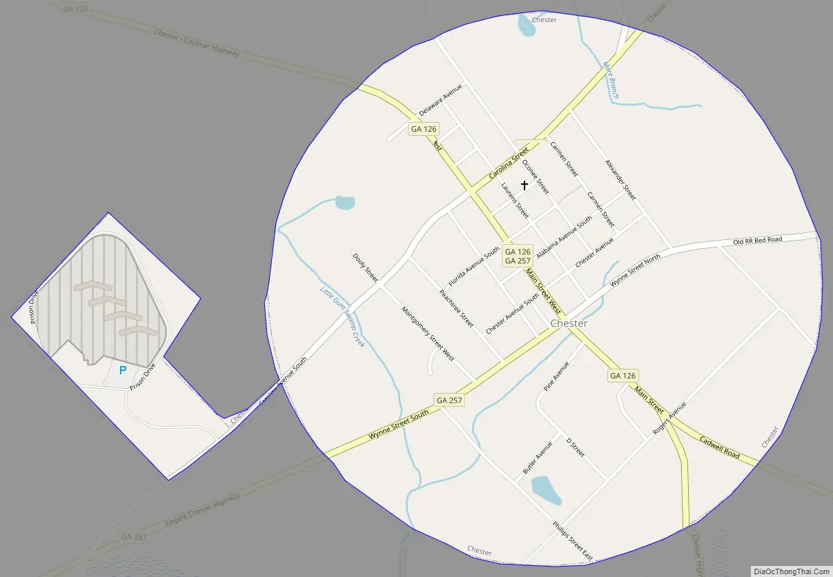
Chester Road Map
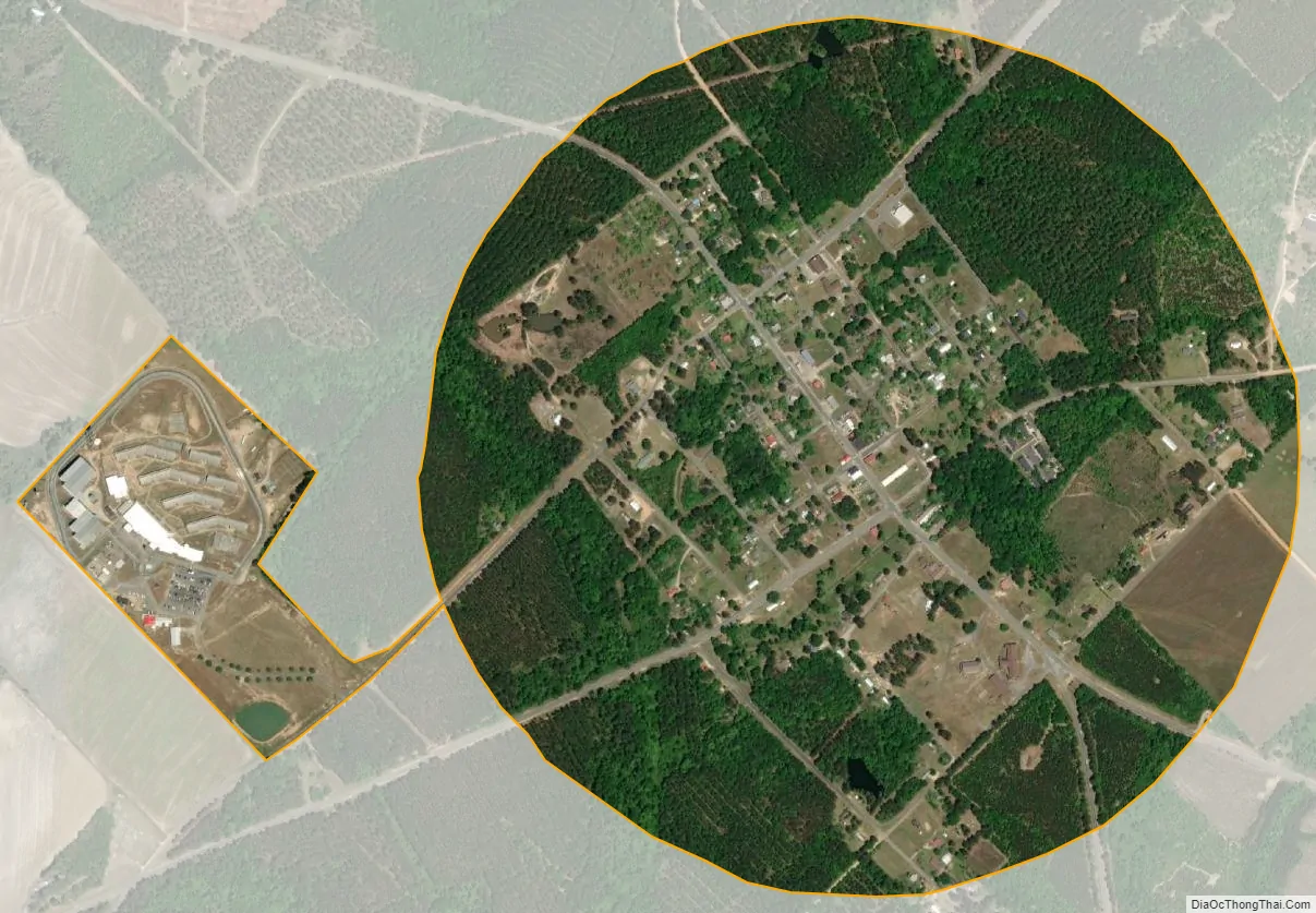
Chester city Satellite Map
Geography
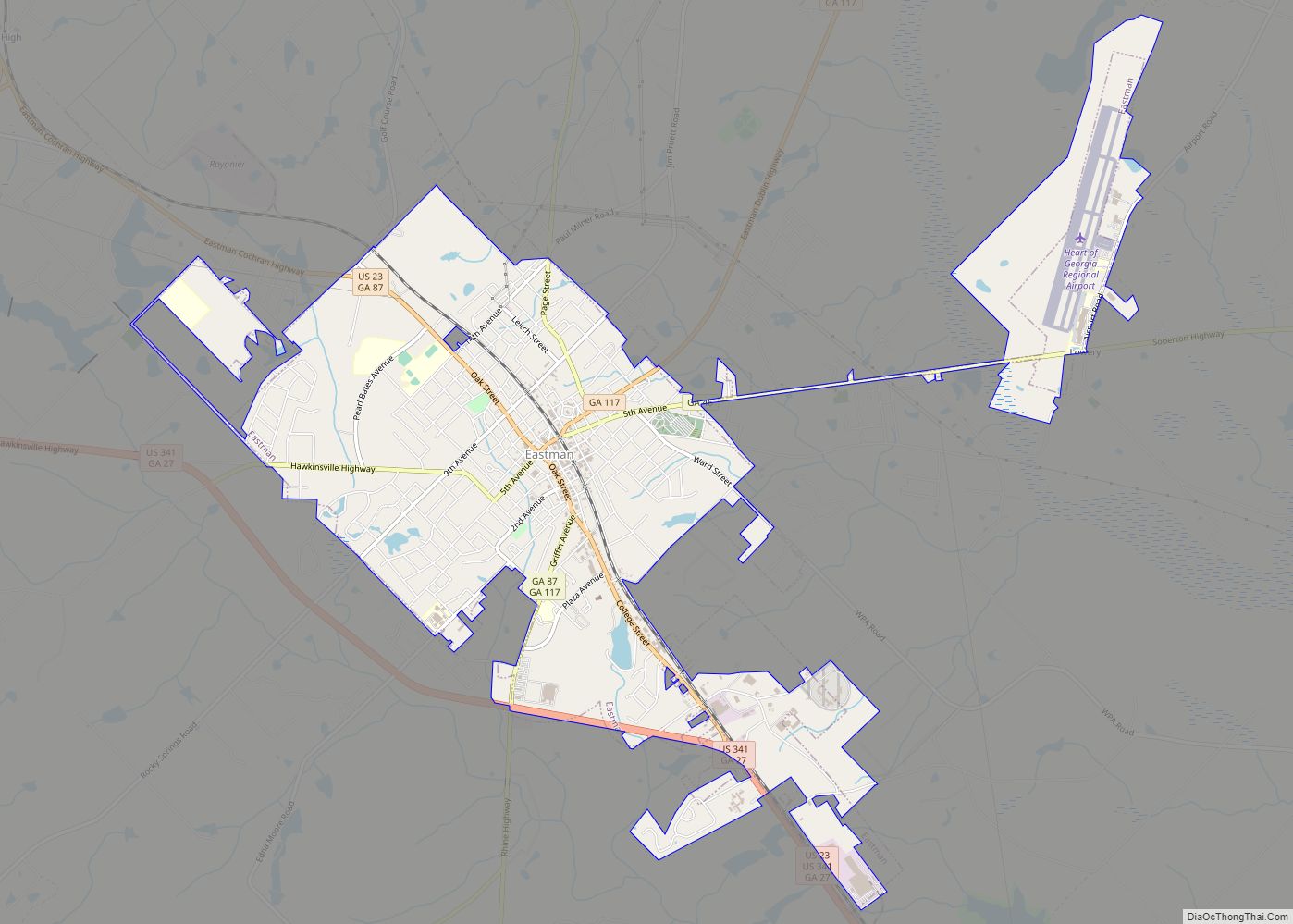
Chester is located in northern Dodge County at 32°23′42″N 83°9′13″W / 32.39500°N 83.15361°W / 32.39500; -83.15361 (32.394965, -83.153610). Georgia State Route 126 passes through the town as Main Street, leading west 13 miles (21 km) to Cochran and southeast 8 miles (13 km) to Cadwell. Georgia State Route 257 joins SR 126 on Main Street through the center of Chester, but leads northeast 7 miles (11 km) to Dexter and southwest 9 miles (14 km) to Empire. Eastman, the Dodge County seat, is 15 miles (24 km) to the south via Chester Highway.
According to the United States Census Bureau, Chester has a total area of 0.89 square miles (2.3 km), all land.
See also
Map of Georgia State and its subdivision:- Appling
- Atkinson
- Bacon
- Baker
- Baldwin
- Banks
- Barrow
- Bartow
- Ben Hill
- Berrien
- Bibb
- Bleckley
- Brantley
- Brooks
- Bryan
- Bulloch
- Burke
- Butts
- Calhoun
- Camden
- Candler
- Carroll
- Catoosa
- Charlton
- Chatham
- Chattahoochee
- Chattooga
- Cherokee
- Clarke
- Clay
- Clayton
- Clinch
- Cobb
- Coffee
- Colquitt
- Columbia
- Cook
- Coweta
- Crawford
- Crisp
- Dade
- Dawson
- Decatur
- DeKalb
- Dodge
- Dooly
- Dougherty
- Douglas
- Early
- Echols
- Effingham
- Elbert
- Emanuel
- Evans
- Fannin
- Fayette
- Floyd
- Forsyth
- Franklin
- Fulton
- Gilmer
- Glascock
- Glynn
- Gordon
- Grady
- Greene
- Gwinnett
- Habersham
- Hall
- Hancock
- Haralson
- Harris
- Hart
- Heard
- Henry
- Houston
- Irwin
- Jackson
- Jasper
- Jeff Davis
- Jefferson
- Jenkins
- Johnson
- Jones
- Lamar
- Lanier
- Laurens
- Lee
- Liberty
- Lincoln
- Long
- Lowndes
- Lumpkin
- Macon
- Madison
- Marion
- McDuffie
- McIntosh
- Meriwether
- Miller
- Mitchell
- Monroe
- Montgomery
- Morgan
- Murray
- Muscogee
- Newton
- Oconee
- Oglethorpe
- Paulding
- Peach
- Pickens
- Pierce
- Pike
- Polk
- Pulaski
- Putnam
- Quitman
- Rabun
- Randolph
- Richmond
- Rockdale
- Schley
- Screven
- Seminole
- Spalding
- Stephens
- Stewart
- Sumter
- Talbot
- Taliaferro
- Tattnall
- Taylor
- Telfair
- Terrell
- Thomas
- Tift
- Toombs
- Towns
- Treutlen
- Troup
- Turner
- Twiggs
- Union
- Upson
- Walker
- Walton
- Ware
- Warren
- Washington
- Wayne
- Webster
- Wheeler
- White
- Whitfield
- Wilcox
- Wilkes
- Wilkinson
- Worth
- Alabama
- Alaska
- Arizona
- Arkansas
- California
- Colorado
- Connecticut
- Delaware
- District of Columbia
- Florida
- Georgia
- Hawaii
- Idaho
- Illinois
- Indiana
- Iowa
- Kansas
- Kentucky
- Louisiana
- Maine
- Maryland
- Massachusetts
- Michigan
- Minnesota
- Mississippi
- Missouri
- Montana
- Nebraska
- Nevada
- New Hampshire
- New Jersey
- New Mexico
- New York
- North Carolina
- North Dakota
- Ohio
- Oklahoma
- Oregon
- Pennsylvania
- Rhode Island
- South Carolina
- South Dakota
- Tennessee
- Texas
- Utah
- Vermont
- Virginia
- Washington
- West Virginia
- Wisconsin
- Wyoming