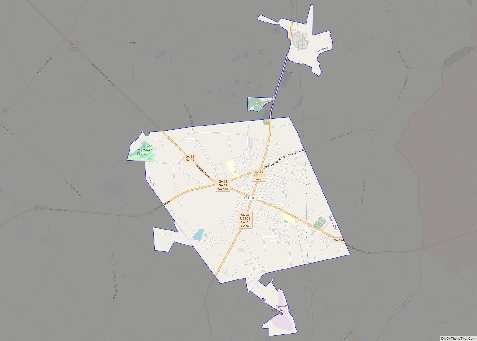
Glennville is a city in Tattnall County, Georgia, United States. As of the 2020 census, the city had a population of 3,834. Glennville city overview: Name: Glennville city LSAD Code: 25 LSAD Description: city (suffix) State: Georgia County: Tattnall County Elevation: 171 ft (52 m) Total Area: 7.13 sq mi (18.47 km²) Land Area: 7.05 sq mi (18.26 km²) Water Area: 0.08 sq mi (0.21 km²) ... Read more
Georgia Cities and Places
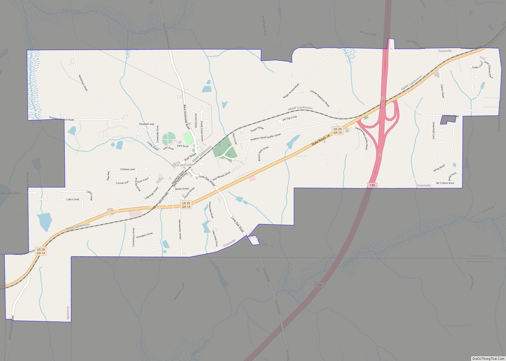
Grantville is a city in Coweta County, Georgia, United States. The 2010 census shows a population of 3,041. Grantville city overview: Name: Grantville city LSAD Code: 25 LSAD Description: city (suffix) State: Georgia County: Coweta County Elevation: 869 ft (265 m) Total Area: 5.81 sq mi (15.05 km²) Land Area: 5.79 sq mi (15.01 km²) Water Area: 0.02 sq mi (0.05 km²) Total Population: 3,103 Population ... Read more
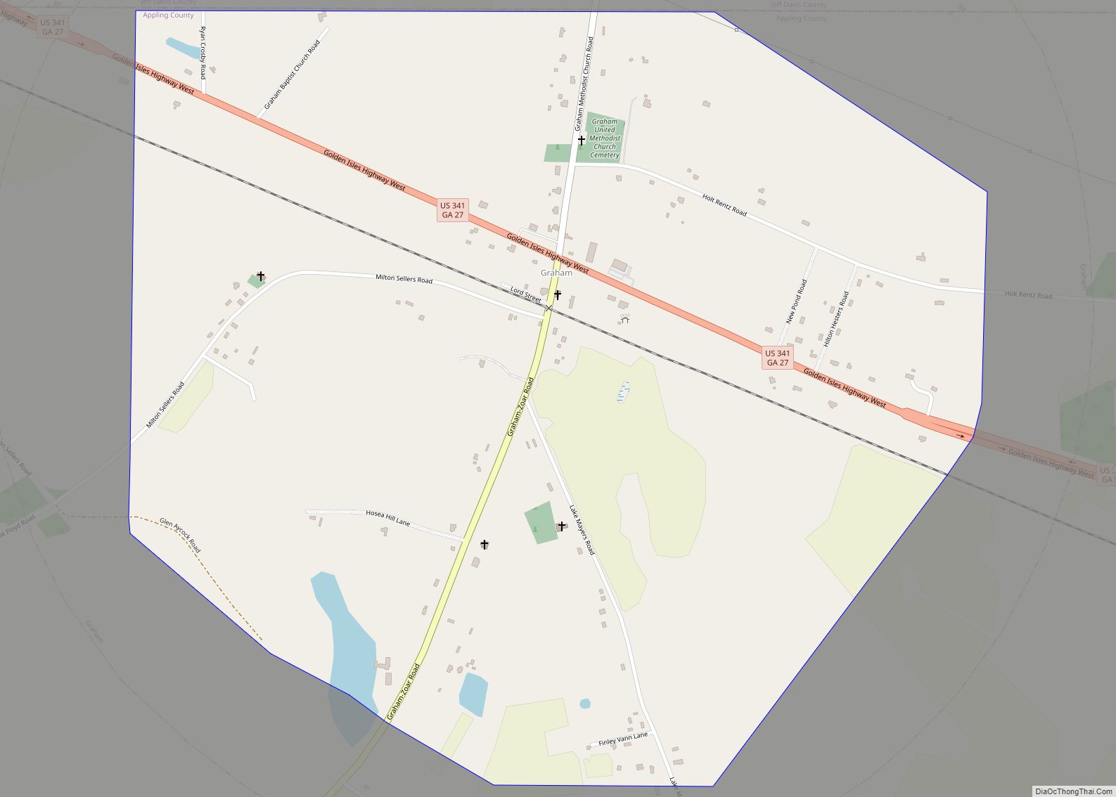
Graham is a city in Appling County, Georgia, United States. The population was 291 at the 2010 census. Graham city overview: Name: Graham city LSAD Code: 25 LSAD Description: city (suffix) State: Georgia County: Appling County Elevation: 240 ft (73 m) Total Area: 1.75 sq mi (4.53 km²) Land Area: 1.74 sq mi (4.51 km²) Water Area: 0.01 sq mi (0.02 km²) Total Population: 263 Population ... Read more
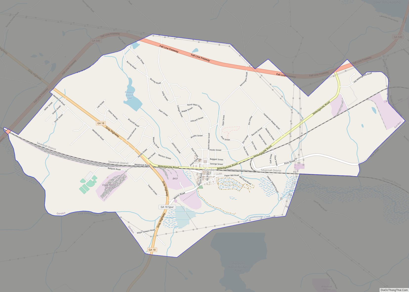
Gordon is a city in Wilkinson County, Georgia, United States. As of the 2010 census, the town’s population was 2,017. Gordon city overview: Name: Gordon city LSAD Code: 25 LSAD Description: city (suffix) State: Georgia County: Wilkinson County Elevation: 348 ft (106 m) Total Area: 5.45 sq mi (14.11 km²) Land Area: 5.39 sq mi (13.96 km²) Water Area: 0.06 sq mi (0.15 km²) Total Population: ... Read more
Greensboro is a town in and the county seat of Greene County, Georgia, United States. Its population was 3,648 as of the 2020 census. The city is located approximately halfway between Atlanta and Augusta on Interstate 20. Greensboro city overview: Name: Greensboro city LSAD Code: 25 LSAD Description: city (suffix) State: Georgia County: Greene County ... Read more
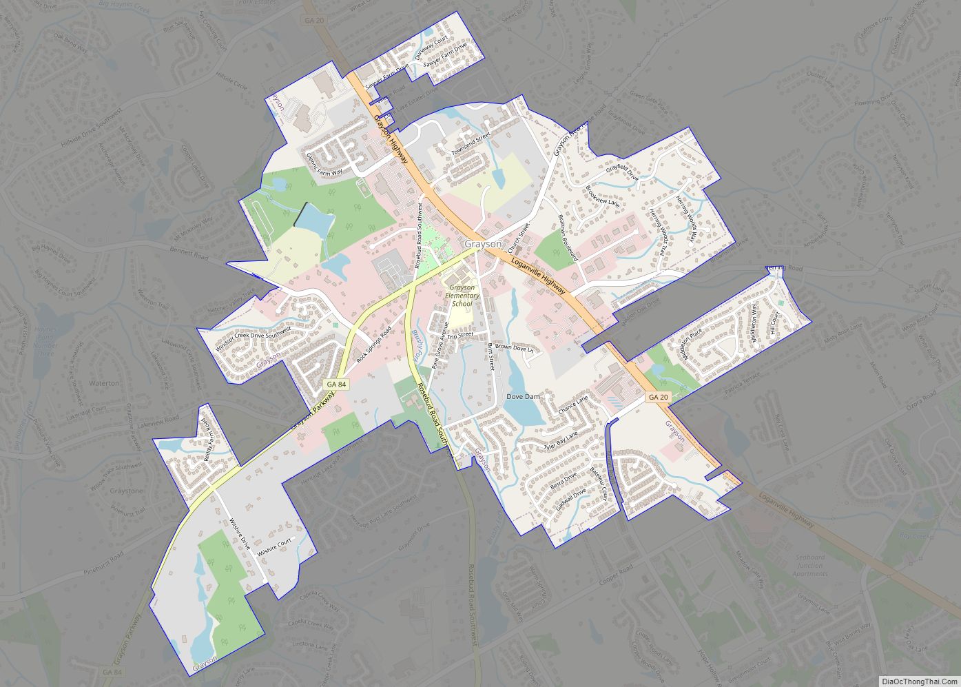
Grayson is a city in Gwinnett County, Georgia, United States. The 2020 estimated population of Grayson, GA is 4740 people. The population was 2,666 at the 2010 census, up from 765 in 2000. Grayson city overview: Name: Grayson city LSAD Code: 25 LSAD Description: city (suffix) State: Georgia County: Gwinnett County Elevation: 1,079 ft (329 m) Total ... Read more
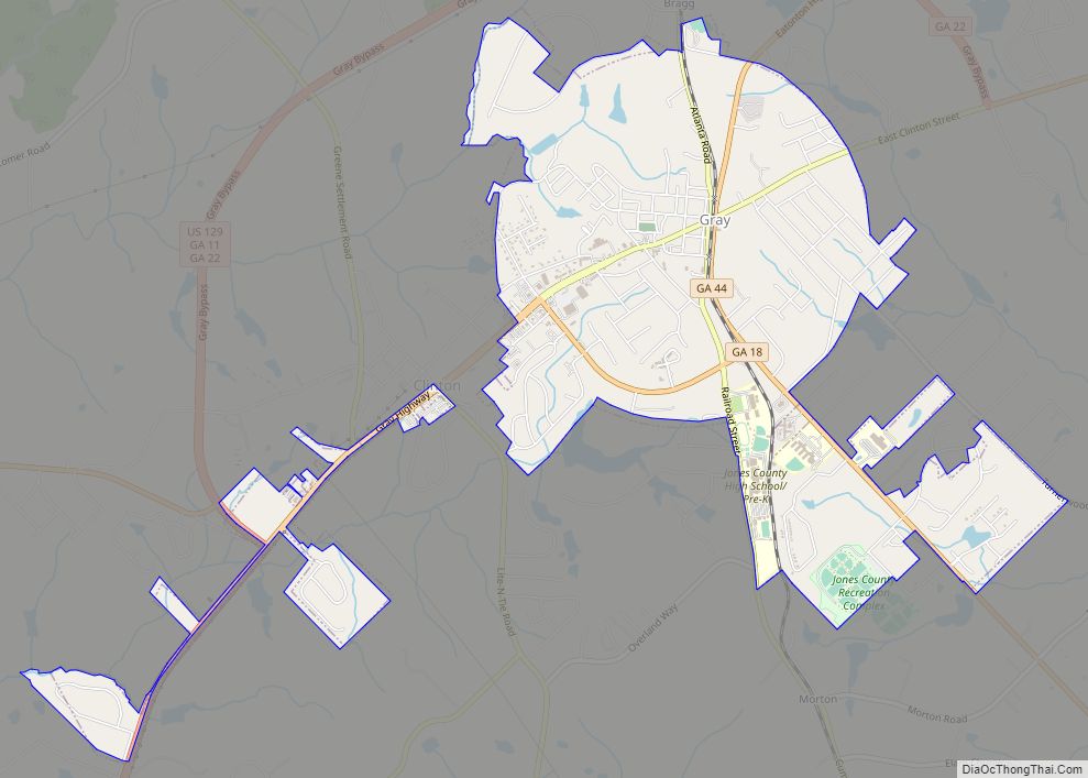
Gray is a city in Jones County, Georgia, United States. The population was 3,276 at the 2010 census, up from 1,811 at the 2000 census. The city is the county seat of Jones County. It is part of the Macon Metropolitan Area. Gray city overview: Name: Gray city LSAD Code: 25 LSAD Description: city (suffix) ... Read more
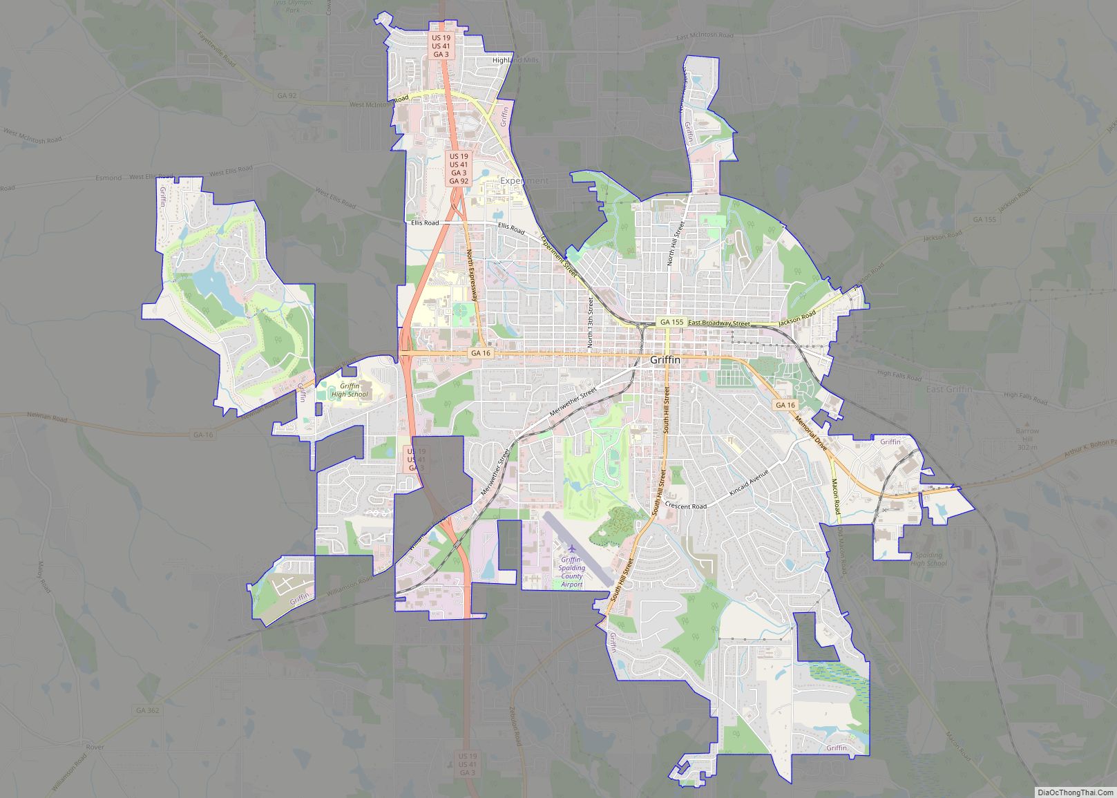
Griffin is a city in and the county seat of Spalding County, Georgia. It is part of the Atlanta metropolitan area. As of the 2020 census, the city had a population of 23,478. Griffin was founded in 1840 and named for landowner Col. Lewis Lawrence Griffin. Griffin Technical College was located in Griffin from 1963 ... Read more
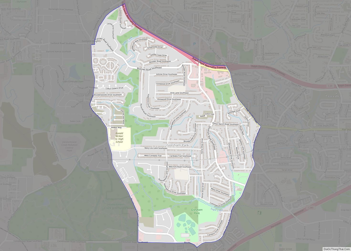
Gresham Park is a census-designated place (CDP) in DeKalb County, Georgia, United States. The population was 7,700 at the 2020 census. Gresham Park CDP overview: Name: Gresham Park CDP LSAD Code: 57 LSAD Description: CDP (suffix) State: Georgia County: DeKalb County Elevation: 899 ft (274 m) Total Area: 2.81 sq mi (7.28 km²) Land Area: 2.81 sq mi (7.27 km²) Water Area: 0.00 sq mi ... Read more
Greenville is a city and the county seat of Meriwether County, Georgia, United States. The population was 794 at the 2020 census, down from 876 in 2010. The city is located 60 miles (97 km) southwest of Atlanta and is part of the Atlanta metropolitan area (Atlanta-Sandy Springs-Marietta, Georgia Metropolitan Statistical Area). Greenville city overview: Name: ... Read more
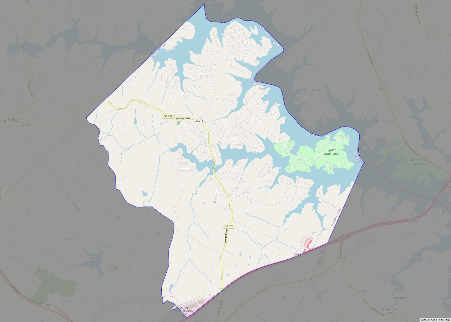
Gumlog is an unincorporated lakeside community and census-designated place in Franklin County, Georgia, United States. The population was 2,146 at the 2010 census. Gumlog CDP overview: Name: Gumlog CDP LSAD Code: 57 LSAD Description: CDP (suffix) State: Georgia County: Franklin County Elevation: 732 ft (223 m) Total Area: 16.11 sq mi (41.71 km²) Land Area: 13.49 sq mi (34.94 km²) Water Area: 2.62 sq mi ... Read more
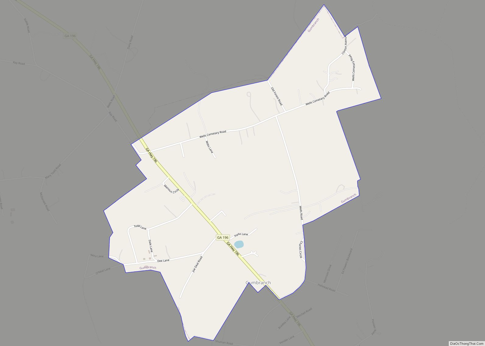
Gumbranch, alternatively spelled Gum Branch, is a city in Liberty County, Georgia, United States. It is a part of the Hinesville-Fort Stewart metropolitan statistical area. The population was 264 at the 2010 census. Gumbranch city overview: Name: Gumbranch city LSAD Code: 25 LSAD Description: city (suffix) State: Georgia County: Liberty County Elevation: 79 ft (24 m) Total ... Read more
