Griffin is a city in and the county seat of Spalding County, Georgia. It is part of the Atlanta metropolitan area. As of the 2020 census, the city had a population of 23,478.
Griffin was founded in 1840 and named for landowner Col. Lewis Lawrence Griffin.
Griffin Technical College was located in Griffin from 1963 and a branch of Southern Crescent Technical College is in Griffin. The Griffin Synodical Female College was established by Presbyterians, but closed. The University of Georgia maintains a branch campus in Griffin.
| Name: | Griffin city |
|---|---|
| LSAD Code: | 25 |
| LSAD Description: | city (suffix) |
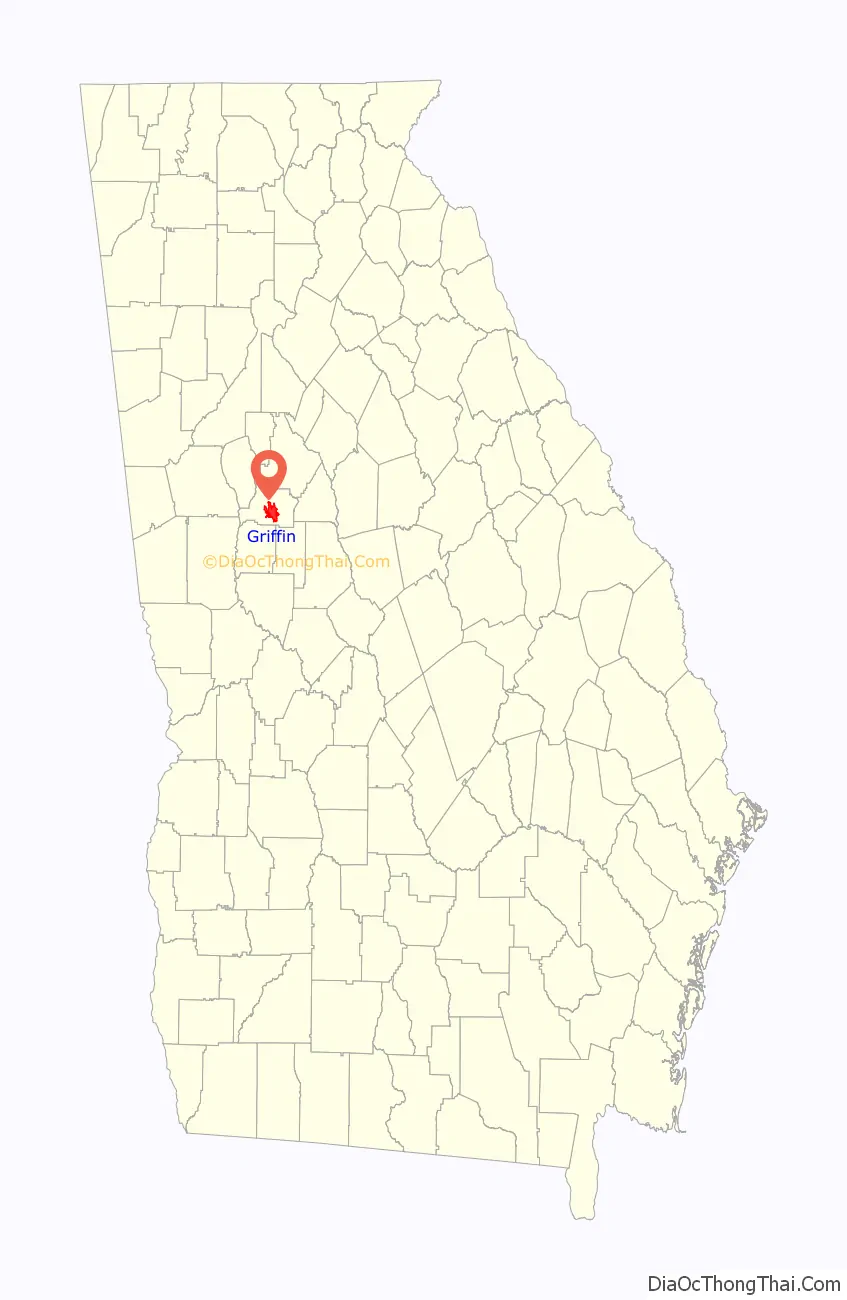
| State: | Georgia |
| County: | Spalding County |
| Elevation: | 978 ft (298 m) |
| Total Area: | 14.12 sq mi (36.57 km²) |
| Land Area: | 13.98 sq mi (36.22 km²) |
| Water Area: | 0.14 sq mi (0.35 km²) |
| Total Population: | 23,478 |
| Population Density: | 1,678.80/sq mi (648.18/km²) |
| ZIP code: | 30223-30224 |
| Area code: | 770 |
| FIPS code: | 1335324 |
| GNISfeature ID: | 0356111 |
| Website: | http://www.cityofgriffin.com/ |
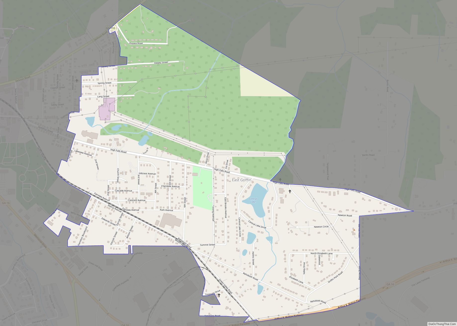
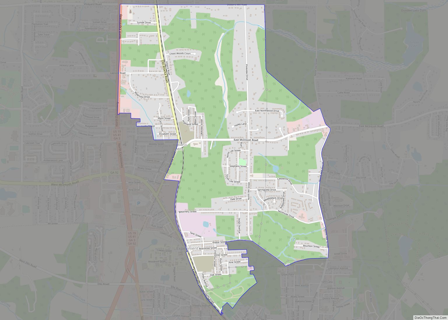
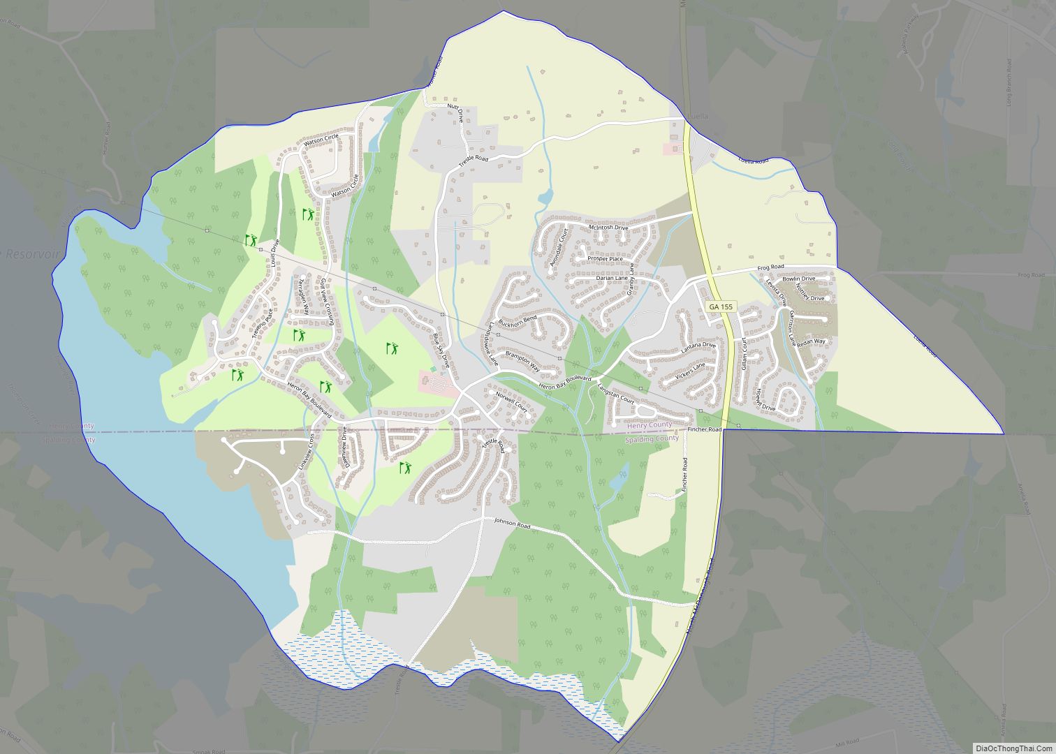
Online Interactive Map
Click on ![]() to view map in "full screen" mode.
to view map in "full screen" mode.
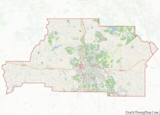
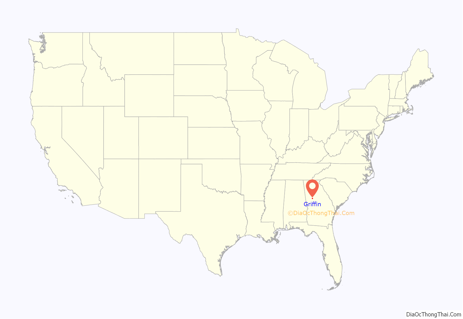
Griffin location map. Where is Griffin city?
History
The Macon and Western Railroad was extended to a new station in Griffin in 1842.
In 1938, Alma Lovell had been distributing religious Bible tracts as a Jehovah’s Witness but was arrested for violating a city ordinance requiring prior permission for distributing literature. In Lovell v. City of Griffin, the U.S. Supreme Court found that the city had violated her First Amendment and Fourteenth Amendment rights.
The Griffin Commercial Historic District (among the National Register of Historic Places listings in Spalding County, Georgia) is generally bounded by Central Alley, Sixth Street, Taylor Street and Eighth Street. The district includes the Griffin Grocery Company Building, now the Griffin Regional Welcome Center.
The western part of the city was heavily damaged by an EF3 tornado on January 12, 2023. The tornado was one of four that were on the ground simultaneously in the area. This particular tornado injured 18 people along its path.
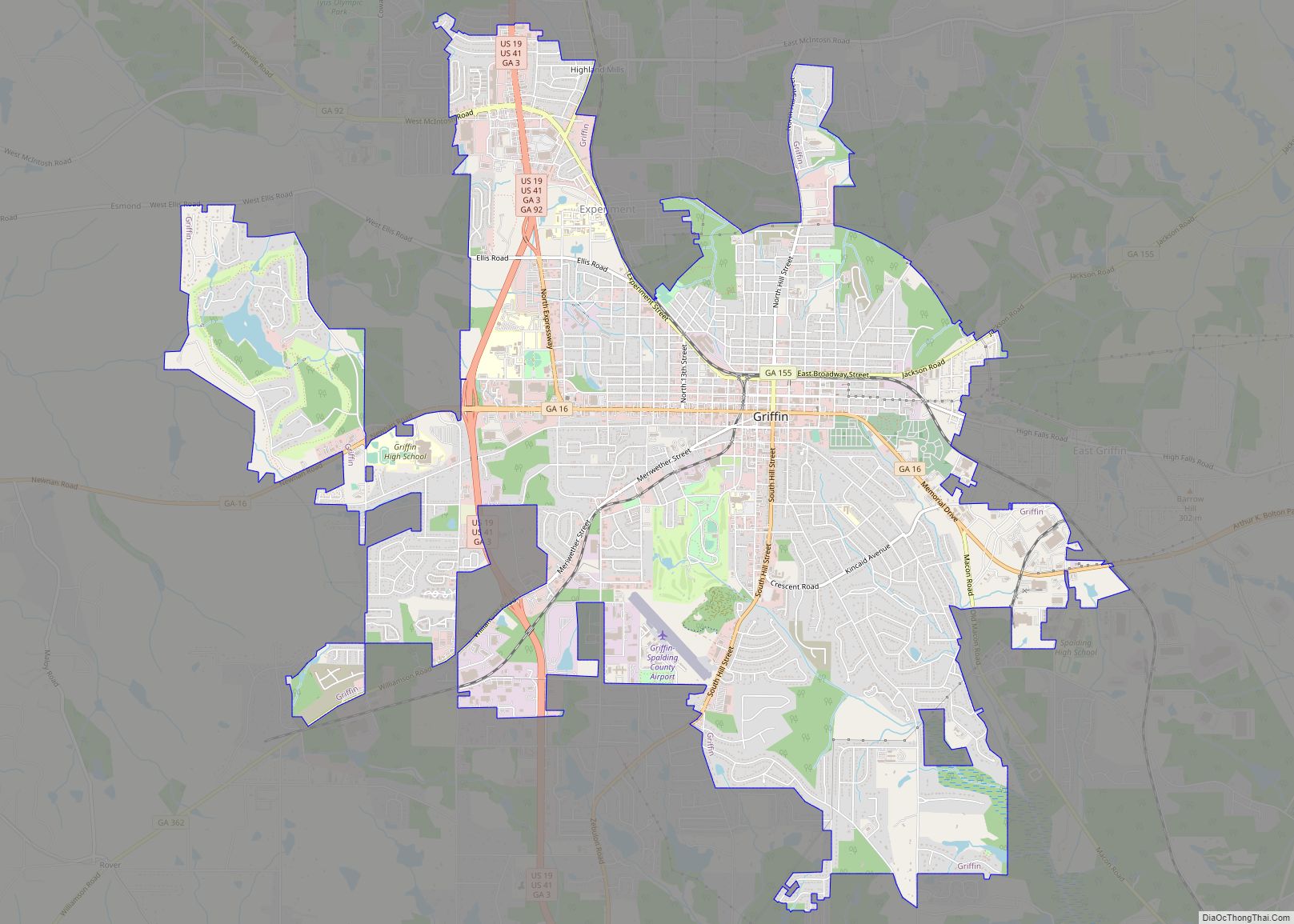
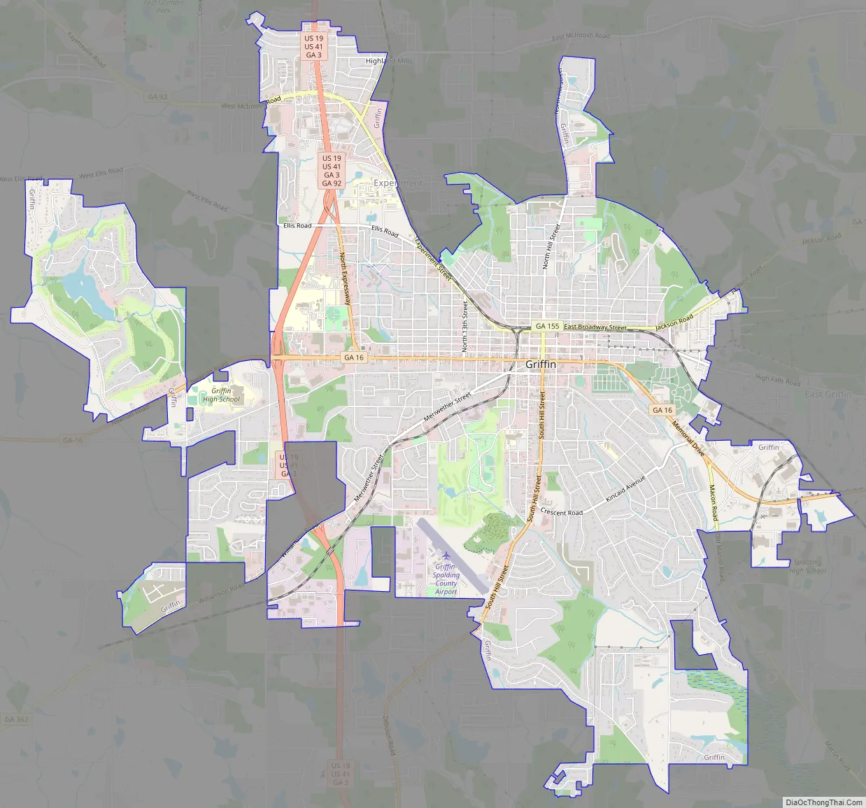
Griffin Road Map
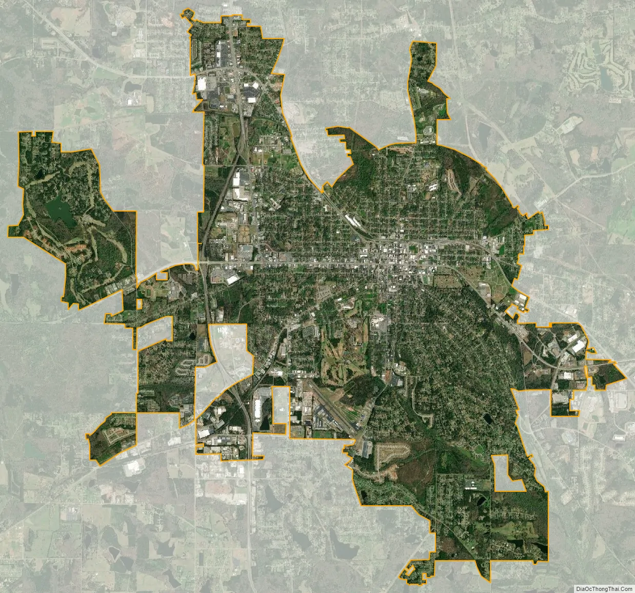
Griffin city Satellite Map
Geography
Griffin is located at 33°14′51″N 84°16′15″W / 33.24750°N 84.27083°W / 33.24750; -84.27083 (33.247602, -84.270891). According to the United States Census Bureau, the city has a total area of 14.6 square miles (38 km), of which 14.5 square miles (38 km) is land and 0.1 square miles (0.26 km) (0.55%) is water.
See also
Map of Georgia State and its subdivision:- Appling
- Atkinson
- Bacon
- Baker
- Baldwin
- Banks
- Barrow
- Bartow
- Ben Hill
- Berrien
- Bibb
- Bleckley
- Brantley
- Brooks
- Bryan
- Bulloch
- Burke
- Butts
- Calhoun
- Camden
- Candler
- Carroll
- Catoosa
- Charlton
- Chatham
- Chattahoochee
- Chattooga
- Cherokee
- Clarke
- Clay
- Clayton
- Clinch
- Cobb
- Coffee
- Colquitt
- Columbia
- Cook
- Coweta
- Crawford
- Crisp
- Dade
- Dawson
- Decatur
- DeKalb
- Dodge
- Dooly
- Dougherty
- Douglas
- Early
- Echols
- Effingham
- Elbert
- Emanuel
- Evans
- Fannin
- Fayette
- Floyd
- Forsyth
- Franklin
- Fulton
- Gilmer
- Glascock
- Glynn
- Gordon
- Grady
- Greene
- Gwinnett
- Habersham
- Hall
- Hancock
- Haralson
- Harris
- Hart
- Heard
- Henry
- Houston
- Irwin
- Jackson
- Jasper
- Jeff Davis
- Jefferson
- Jenkins
- Johnson
- Jones
- Lamar
- Lanier
- Laurens
- Lee
- Liberty
- Lincoln
- Long
- Lowndes
- Lumpkin
- Macon
- Madison
- Marion
- McDuffie
- McIntosh
- Meriwether
- Miller
- Mitchell
- Monroe
- Montgomery
- Morgan
- Murray
- Muscogee
- Newton
- Oconee
- Oglethorpe
- Paulding
- Peach
- Pickens
- Pierce
- Pike
- Polk
- Pulaski
- Putnam
- Quitman
- Rabun
- Randolph
- Richmond
- Rockdale
- Schley
- Screven
- Seminole
- Spalding
- Stephens
- Stewart
- Sumter
- Talbot
- Taliaferro
- Tattnall
- Taylor
- Telfair
- Terrell
- Thomas
- Tift
- Toombs
- Towns
- Treutlen
- Troup
- Turner
- Twiggs
- Union
- Upson
- Walker
- Walton
- Ware
- Warren
- Washington
- Wayne
- Webster
- Wheeler
- White
- Whitfield
- Wilcox
- Wilkes
- Wilkinson
- Worth
- Alabama
- Alaska
- Arizona
- Arkansas
- California
- Colorado
- Connecticut
- Delaware
- District of Columbia
- Florida
- Georgia
- Hawaii
- Idaho
- Illinois
- Indiana
- Iowa
- Kansas
- Kentucky
- Louisiana
- Maine
- Maryland
- Massachusetts
- Michigan
- Minnesota
- Mississippi
- Missouri
- Montana
- Nebraska
- Nevada
- New Hampshire
- New Jersey
- New Mexico
- New York
- North Carolina
- North Dakota
- Ohio
- Oklahoma
- Oregon
- Pennsylvania
- Rhode Island
- South Carolina
- South Dakota
- Tennessee
- Texas
- Utah
- Vermont
- Virginia
- Washington
- West Virginia
- Wisconsin
- Wyoming