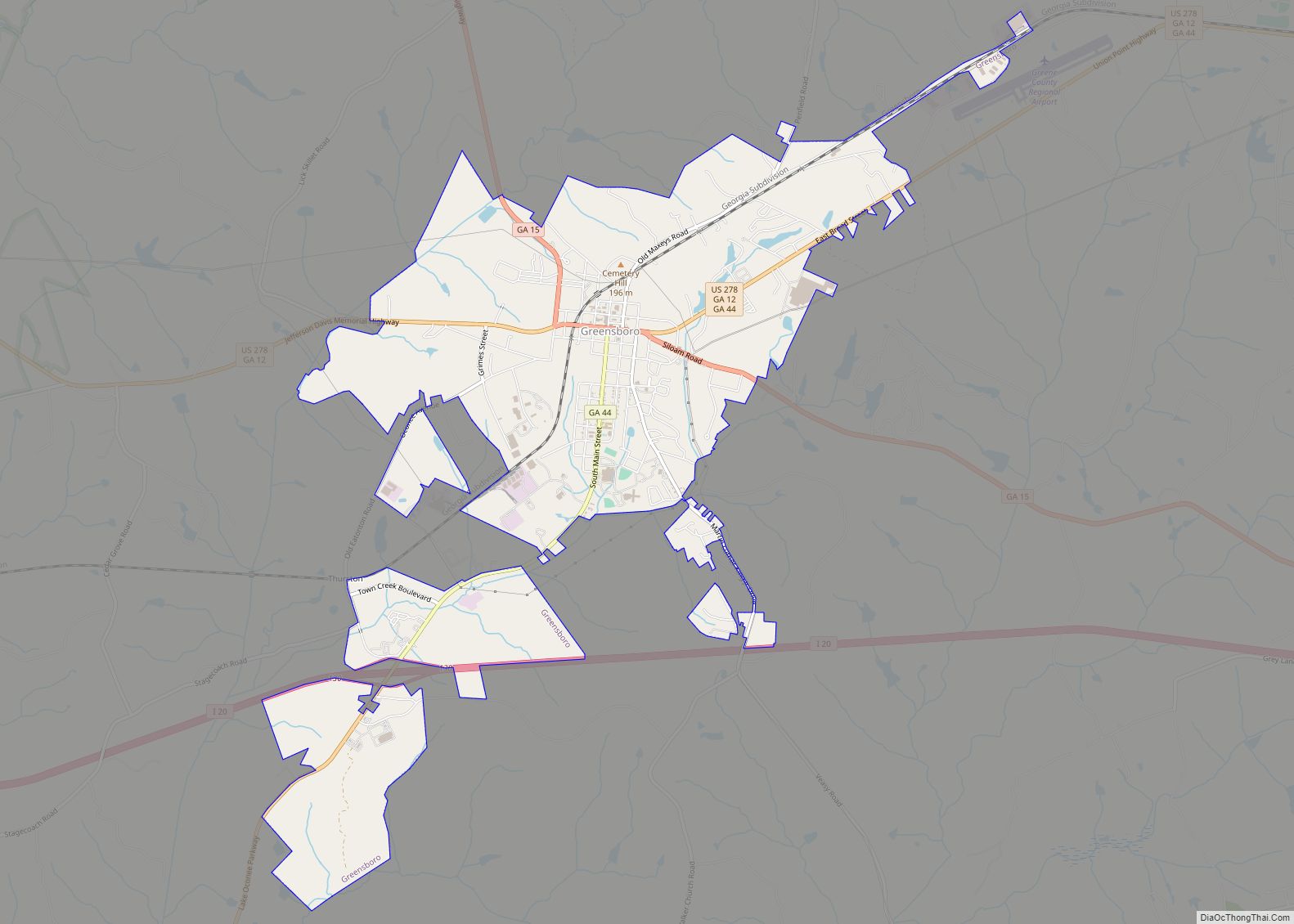
Greensboro is a town in and the county seat of Greene County, Georgia, United States. Its population was 3,648 as of the 2020 census. The city is located approximately halfway between Atlanta and Augusta on Interstate 20.
| Name: | Greensboro city |
|---|---|
| LSAD Code: | 25 |
| LSAD Description: | city (suffix) |
| State: | Georgia |
| County: | Greene County |
| Elevation: | 640 ft (195 m) |
| Total Area: | 6.97 sq mi (18.06 km²) |
| Land Area: | 6.91 sq mi (17.89 km²) |
| Water Area: | 0.07 sq mi (0.17 km²) |
| Total Population: | 3,648 |
| Population Density: | 528.16/sq mi (203.91/km²) |
| ZIP code: | 30642 |
| Area code: | Area code 706 |
| FIPS code: | 1334876 |
| GNISfeature ID: | 0356104 |
| Website: | www.greensboroga.gov |
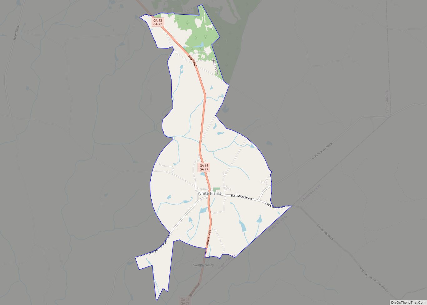
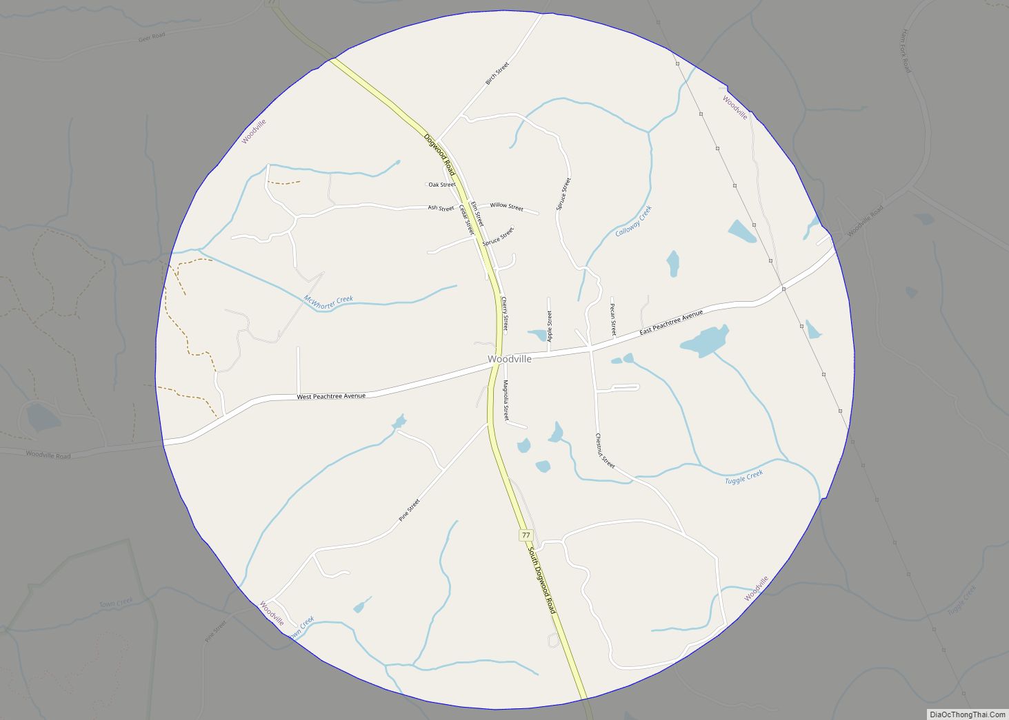
Online Interactive Map
Click on ![]() to view map in "full screen" mode.
to view map in "full screen" mode.
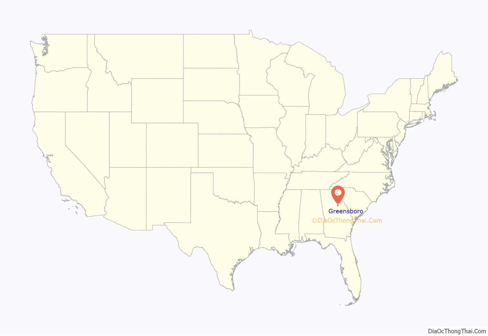
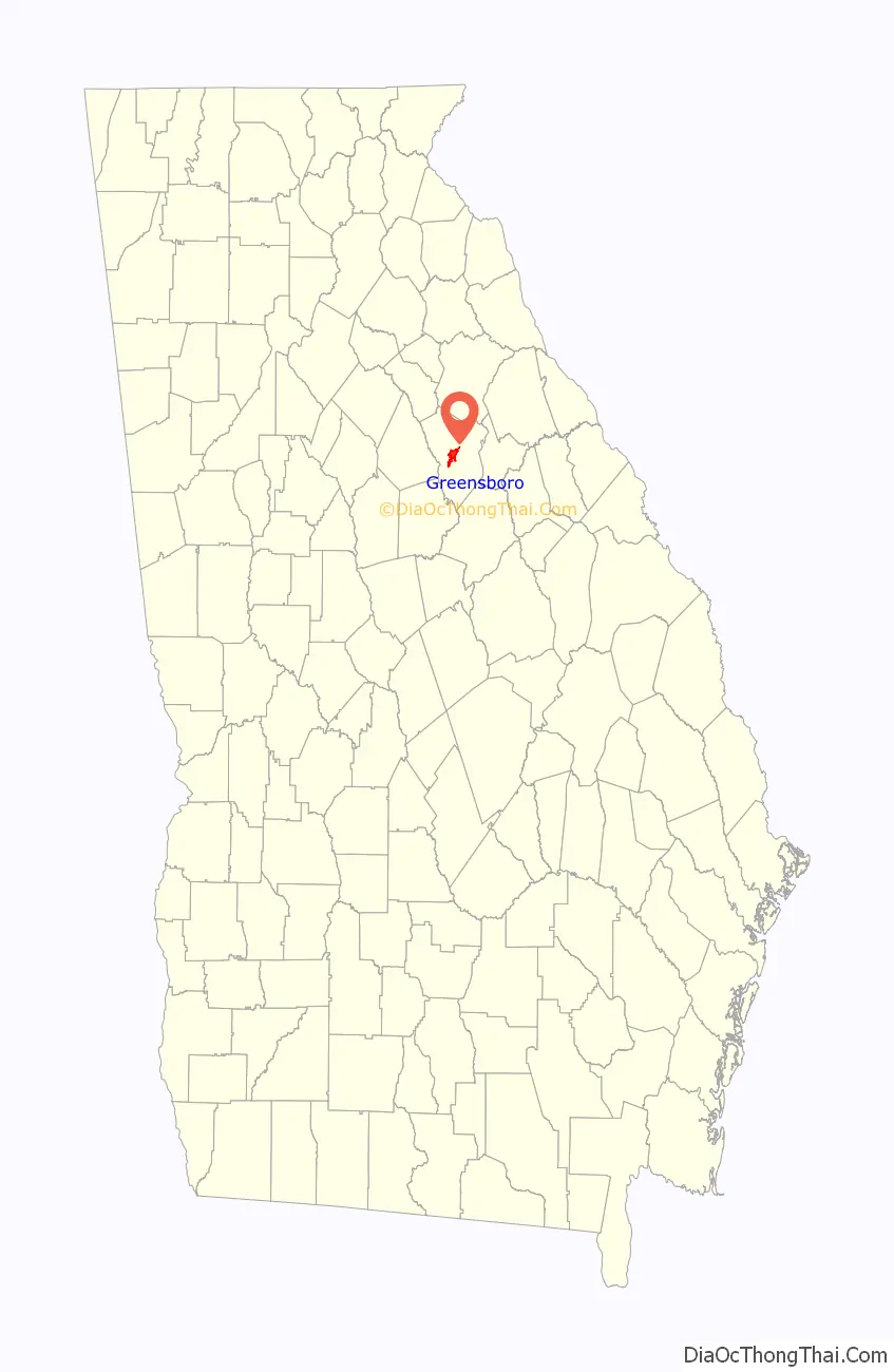
Greensboro location map. Where is Greensboro city?
History
Greensboro was founded circa 1780; in 1787, it was designated seat of the newly formed Greene County. It was incorporated as a town in 1803 and as a city in 1855. The city was named for Major General Nathanael Greene, commander of the rebel American forces at the Battle of Guilford Court House on March 15, 1781.
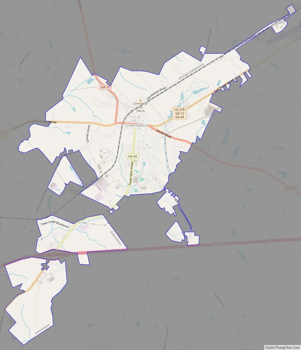
Greensboro Road Map
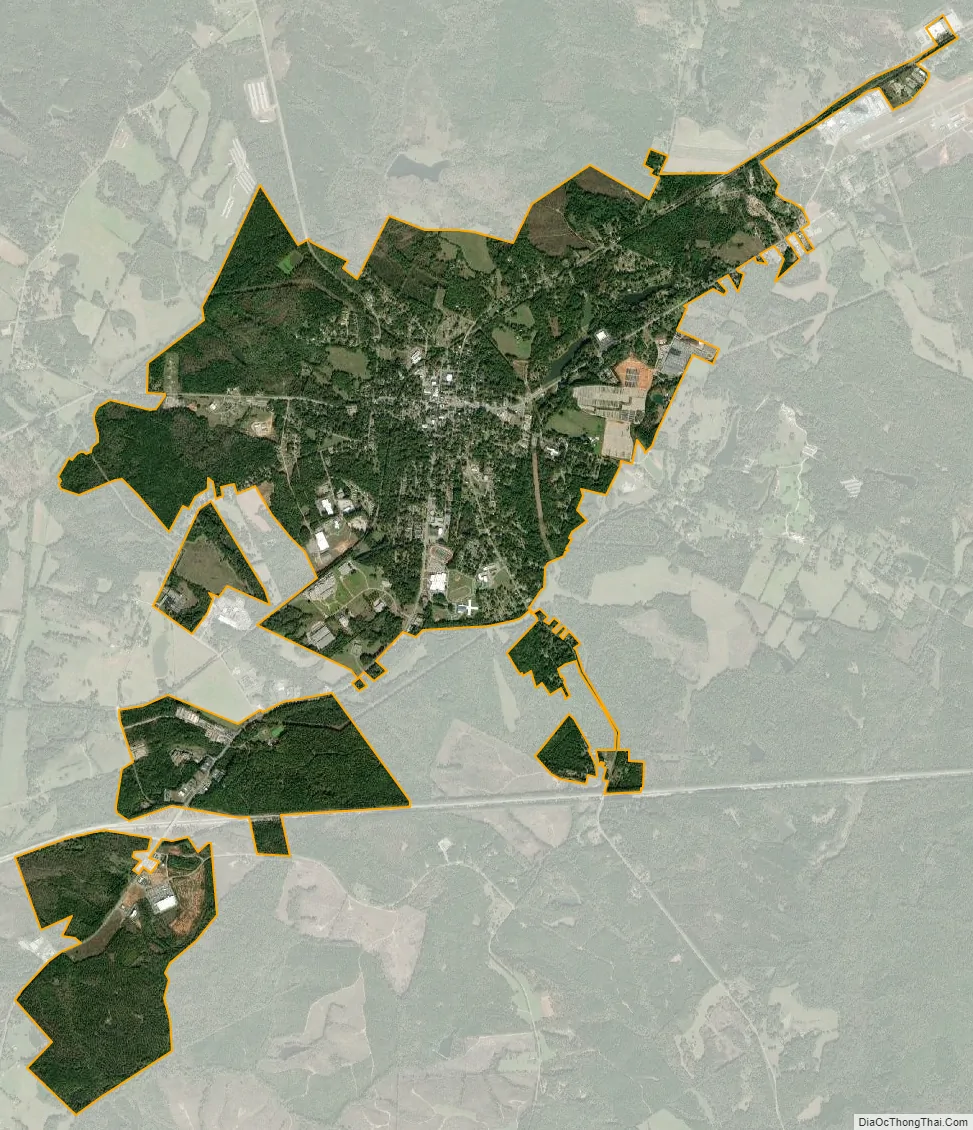
Greensboro city Satellite Map
Geography
Greensboro is located at the center of Greene County at 33°34′18″N 83°10′51″W / 33.57167°N 83.18083°W / 33.57167; -83.18083 (33.571528, -83.180921). U.S. Route 278 passes through the city center as Broad Street, leading east 7 miles (11 km) to Union Point and west 19 miles (31 km) to Madison. Georgia State Route 44 leads southwest from Greensboro 22 miles (35 km) to Eatonton. State Route 15 leads north 34 miles (55 km) to Athens and southeast 27 miles (43 km) to Sparta. The city limits extend southwest along SR 44 for 4 miles (6 km) so as to include Exit 130 on Interstate 20. I-20 leads east 70 miles (110 km) to Augusta and west 73 miles (117 km) to Atlanta.
According to the U.S. Census Bureau, Greensboro has a total area of 6.8 square miles (17.6 km), of which 6.7 square miles (17.4 km) is land and 0.1 square miles (0.2 km), or 0.99%, is water. The city is in the Oconee River watershed and is located 5 miles (8 km) east of Lake Oconee and 2 miles (3 km) southeast of Oconee National Forest.
See also
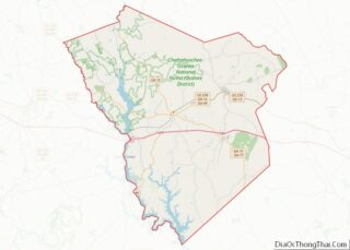
Map of Georgia State and its subdivision:- Appling
- Atkinson
- Bacon
- Baker
- Baldwin
- Banks
- Barrow
- Bartow
- Ben Hill
- Berrien
- Bibb
- Bleckley
- Brantley
- Brooks
- Bryan
- Bulloch
- Burke
- Butts
- Calhoun
- Camden
- Candler
- Carroll
- Catoosa
- Charlton
- Chatham
- Chattahoochee
- Chattooga
- Cherokee
- Clarke
- Clay
- Clayton
- Clinch
- Cobb
- Coffee
- Colquitt
- Columbia
- Cook
- Coweta
- Crawford
- Crisp
- Dade
- Dawson
- Decatur
- DeKalb
- Dodge
- Dooly
- Dougherty
- Douglas
- Early
- Echols
- Effingham
- Elbert
- Emanuel
- Evans
- Fannin
- Fayette
- Floyd
- Forsyth
- Franklin
- Fulton
- Gilmer
- Glascock
- Glynn
- Gordon
- Grady
- Greene
- Gwinnett
- Habersham
- Hall
- Hancock
- Haralson
- Harris
- Hart
- Heard
- Henry
- Houston
- Irwin
- Jackson
- Jasper
- Jeff Davis
- Jefferson
- Jenkins
- Johnson
- Jones
- Lamar
- Lanier
- Laurens
- Lee
- Liberty
- Lincoln
- Long
- Lowndes
- Lumpkin
- Macon
- Madison
- Marion
- McDuffie
- McIntosh
- Meriwether
- Miller
- Mitchell
- Monroe
- Montgomery
- Morgan
- Murray
- Muscogee
- Newton
- Oconee
- Oglethorpe
- Paulding
- Peach
- Pickens
- Pierce
- Pike
- Polk
- Pulaski
- Putnam
- Quitman
- Rabun
- Randolph
- Richmond
- Rockdale
- Schley
- Screven
- Seminole
- Spalding
- Stephens
- Stewart
- Sumter
- Talbot
- Taliaferro
- Tattnall
- Taylor
- Telfair
- Terrell
- Thomas
- Tift
- Toombs
- Towns
- Treutlen
- Troup
- Turner
- Twiggs
- Union
- Upson
- Walker
- Walton
- Ware
- Warren
- Washington
- Wayne
- Webster
- Wheeler
- White
- Whitfield
- Wilcox
- Wilkes
- Wilkinson
- Worth
- Alabama
- Alaska
- Arizona
- Arkansas
- California
- Colorado
- Connecticut
- Delaware
- District of Columbia
- Florida
- Georgia
- Hawaii
- Idaho
- Illinois
- Indiana
- Iowa
- Kansas
- Kentucky
- Louisiana
- Maine
- Maryland
- Massachusetts
- Michigan
- Minnesota
- Mississippi
- Missouri
- Montana
- Nebraska
- Nevada
- New Hampshire
- New Jersey
- New Mexico
- New York
- North Carolina
- North Dakota
- Ohio
- Oklahoma
- Oregon
- Pennsylvania
- Rhode Island
- South Carolina
- South Dakota
- Tennessee
- Texas
- Utah
- Vermont
- Virginia
- Washington
- West Virginia
- Wisconsin
- Wyoming