Grantville is a city in Coweta County, Georgia, United States. The 2010 census shows a population of 3,041.
| Name: | Grantville city |
|---|---|
| LSAD Code: | 25 |
| LSAD Description: | city (suffix) |
| State: | Georgia |
| County: | Coweta County |
| Elevation: | 869 ft (265 m) |
| Total Area: | 5.81 sq mi (15.05 km²) |
| Land Area: | 5.79 sq mi (15.01 km²) |
| Water Area: | 0.02 sq mi (0.05 km²) |
| Total Population: | 3,103 |
| Population Density: | 535.55/sq mi (206.80/km²) |
| ZIP code: | 30220 |
| Area code: | 770 |
| FIPS code: | 1334428 |
| GNISfeature ID: | 0356079 |
| Website: | www.grantvillega.org |
Online Interactive Map
Click on ![]() to view map in "full screen" mode.
to view map in "full screen" mode.
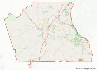
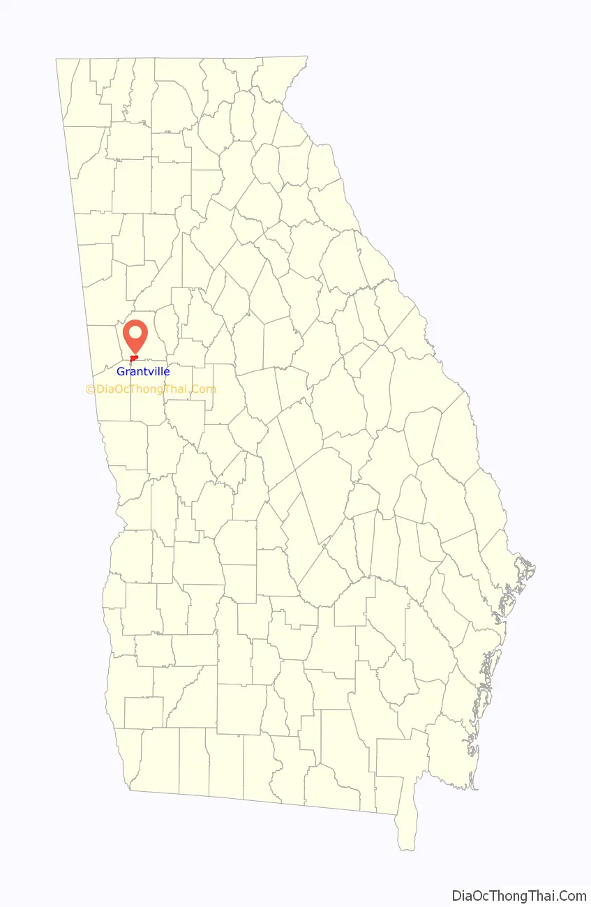
Grantville location map. Where is Grantville city?

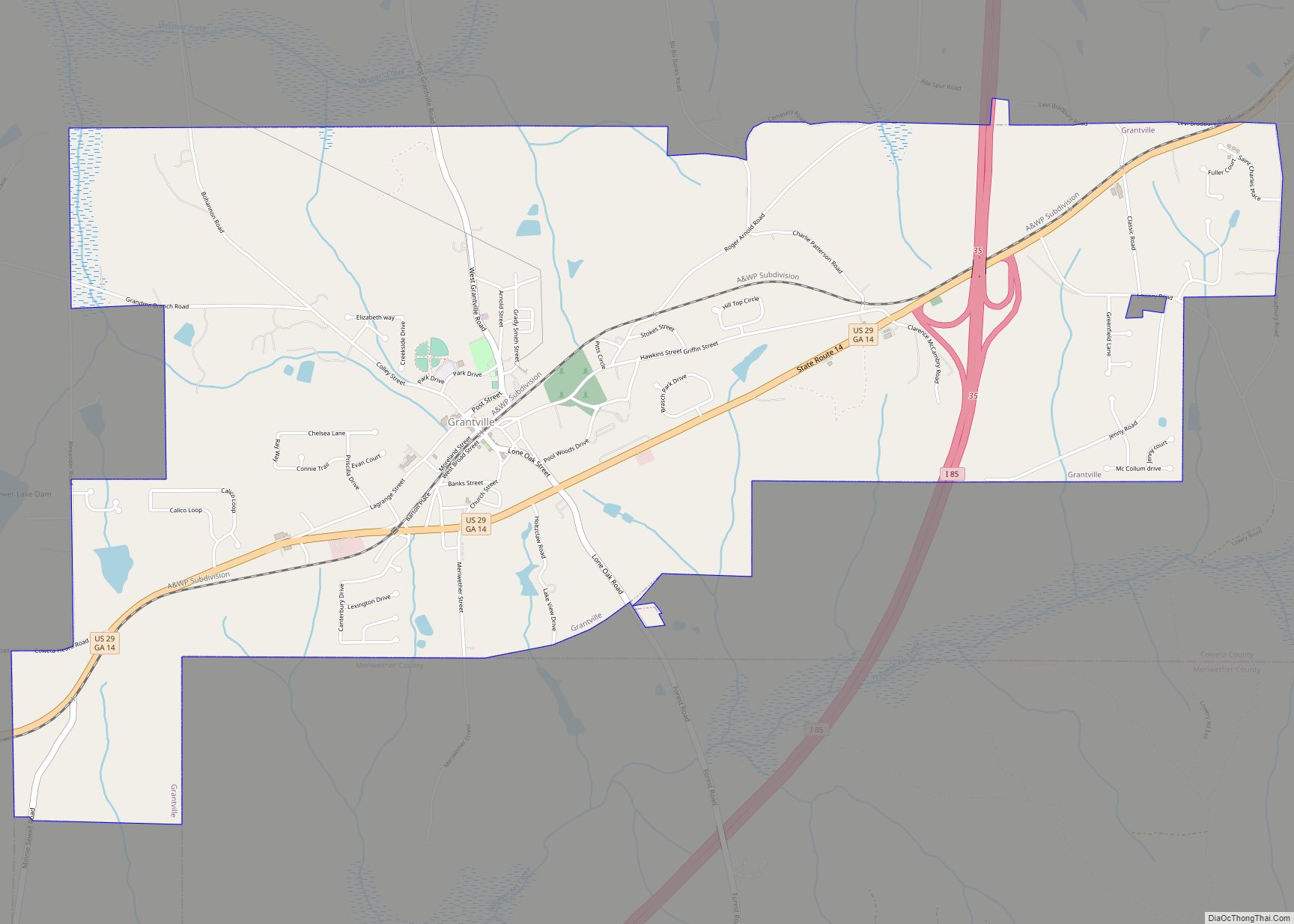
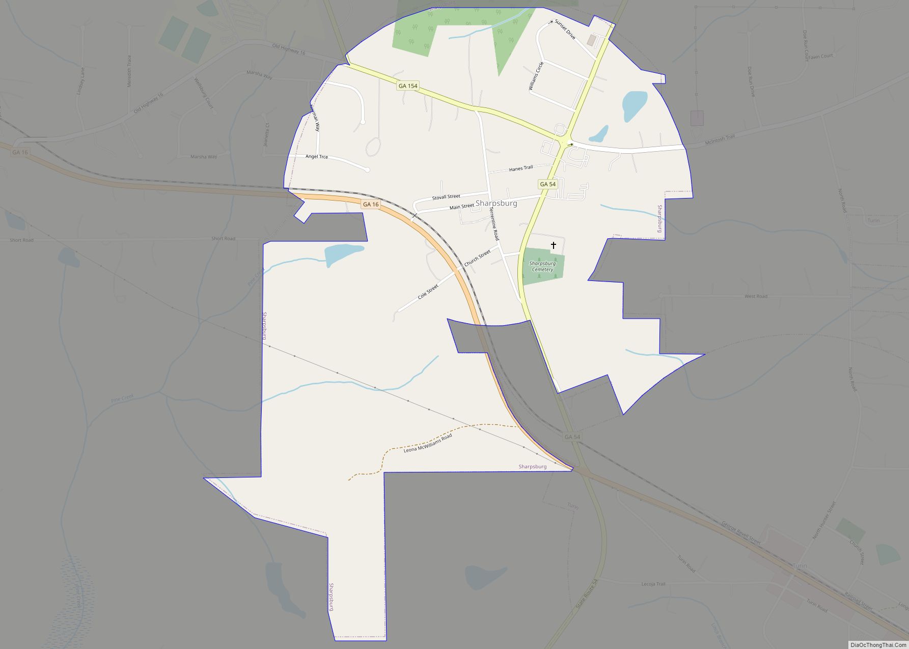
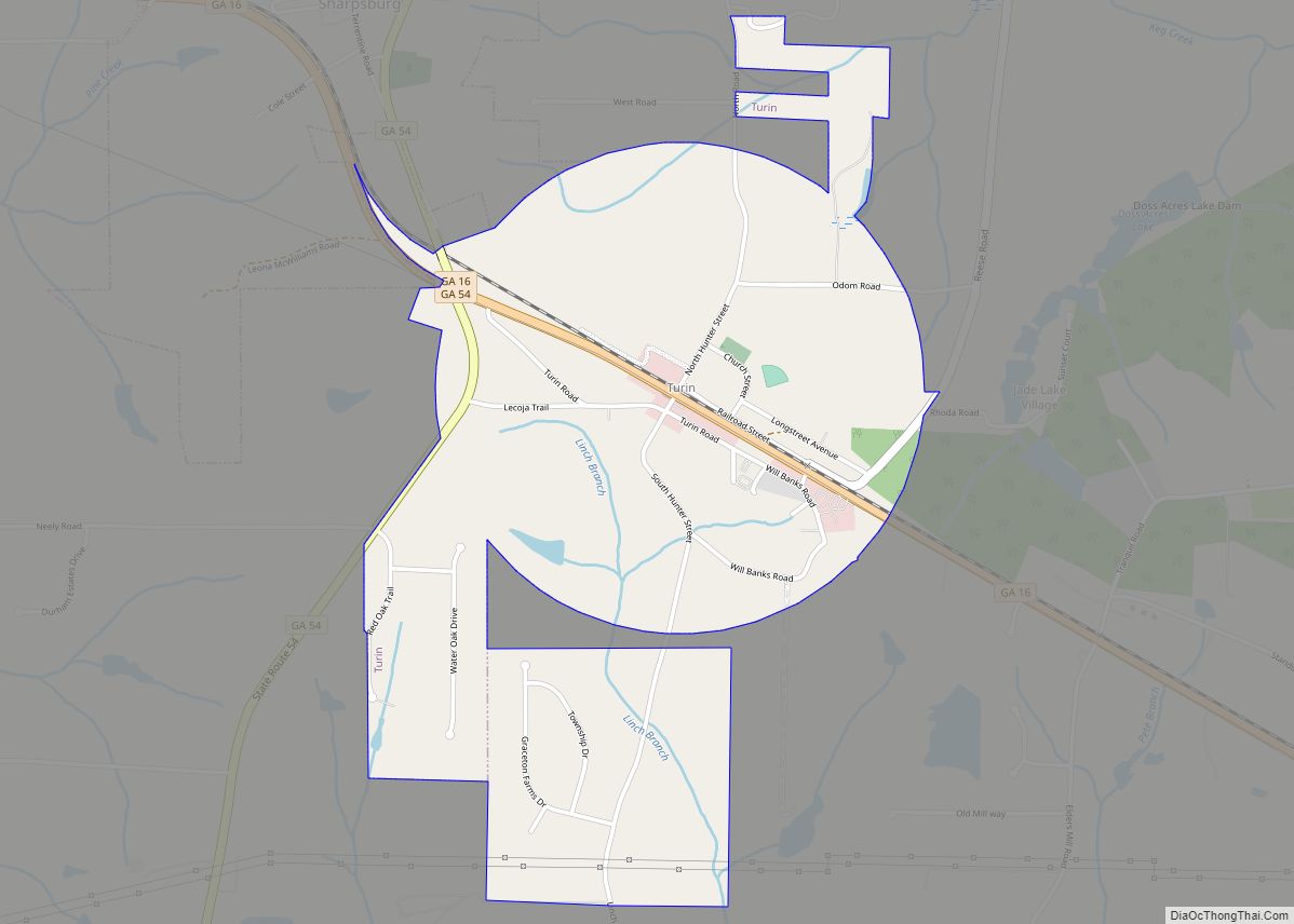
Grantville Road Map

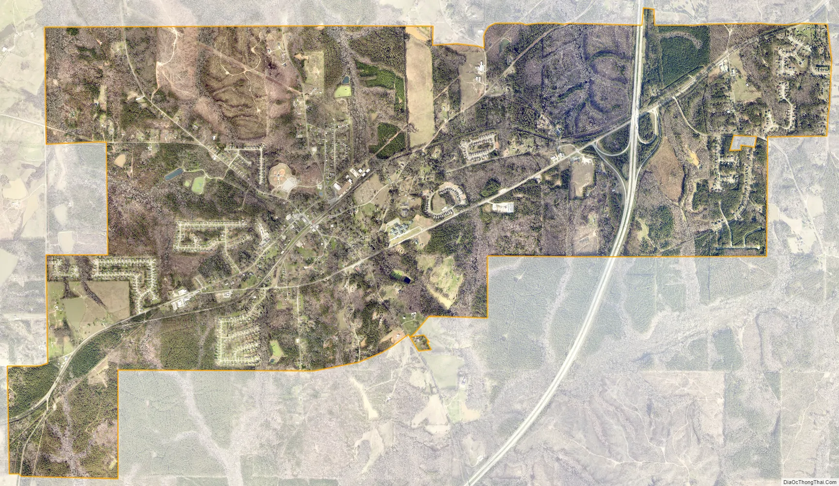
Grantville city Satellite Map
Geography
Grantville is located along the southern border of Coweta County at 33°14′14″N 84°49′37″W / 33.23722°N 84.82694°W / 33.23722; -84.82694 (33.237252, -84.827059). U.S. Route 29 runs through the city, passing south of the center, while Interstate 85 passes through the eastern part of the city, crossing US 29 at Exit 35. I-85 leads northeast 46 miles (74 km) to Atlanta and southwest 114 miles (183 km) to Montgomery, Alabama, while US 29, a more local road, leads north 12 miles (19 km) to Newnan, the Coweta County seat, and southwest 20 miles (32 km) to LaGrange.
According to the United States Census Bureau, Grantville has a total area of 5.6 square miles (14.5 km), of which 0.02 square miles (0.05 km), or 0.31%, is water.
See also
Map of Georgia State and its subdivision:- Appling
- Atkinson
- Bacon
- Baker
- Baldwin
- Banks
- Barrow
- Bartow
- Ben Hill
- Berrien
- Bibb
- Bleckley
- Brantley
- Brooks
- Bryan
- Bulloch
- Burke
- Butts
- Calhoun
- Camden
- Candler
- Carroll
- Catoosa
- Charlton
- Chatham
- Chattahoochee
- Chattooga
- Cherokee
- Clarke
- Clay
- Clayton
- Clinch
- Cobb
- Coffee
- Colquitt
- Columbia
- Cook
- Coweta
- Crawford
- Crisp
- Dade
- Dawson
- Decatur
- DeKalb
- Dodge
- Dooly
- Dougherty
- Douglas
- Early
- Echols
- Effingham
- Elbert
- Emanuel
- Evans
- Fannin
- Fayette
- Floyd
- Forsyth
- Franklin
- Fulton
- Gilmer
- Glascock
- Glynn
- Gordon
- Grady
- Greene
- Gwinnett
- Habersham
- Hall
- Hancock
- Haralson
- Harris
- Hart
- Heard
- Henry
- Houston
- Irwin
- Jackson
- Jasper
- Jeff Davis
- Jefferson
- Jenkins
- Johnson
- Jones
- Lamar
- Lanier
- Laurens
- Lee
- Liberty
- Lincoln
- Long
- Lowndes
- Lumpkin
- Macon
- Madison
- Marion
- McDuffie
- McIntosh
- Meriwether
- Miller
- Mitchell
- Monroe
- Montgomery
- Morgan
- Murray
- Muscogee
- Newton
- Oconee
- Oglethorpe
- Paulding
- Peach
- Pickens
- Pierce
- Pike
- Polk
- Pulaski
- Putnam
- Quitman
- Rabun
- Randolph
- Richmond
- Rockdale
- Schley
- Screven
- Seminole
- Spalding
- Stephens
- Stewart
- Sumter
- Talbot
- Taliaferro
- Tattnall
- Taylor
- Telfair
- Terrell
- Thomas
- Tift
- Toombs
- Towns
- Treutlen
- Troup
- Turner
- Twiggs
- Union
- Upson
- Walker
- Walton
- Ware
- Warren
- Washington
- Wayne
- Webster
- Wheeler
- White
- Whitfield
- Wilcox
- Wilkes
- Wilkinson
- Worth
- Alabama
- Alaska
- Arizona
- Arkansas
- California
- Colorado
- Connecticut
- Delaware
- District of Columbia
- Florida
- Georgia
- Hawaii
- Idaho
- Illinois
- Indiana
- Iowa
- Kansas
- Kentucky
- Louisiana
- Maine
- Maryland
- Massachusetts
- Michigan
- Minnesota
- Mississippi
- Missouri
- Montana
- Nebraska
- Nevada
- New Hampshire
- New Jersey
- New Mexico
- New York
- North Carolina
- North Dakota
- Ohio
- Oklahoma
- Oregon
- Pennsylvania
- Rhode Island
- South Carolina
- South Dakota
- Tennessee
- Texas
- Utah
- Vermont
- Virginia
- Washington
- West Virginia
- Wisconsin
- Wyoming