Greenville is a city and the county seat of Meriwether County, Georgia, United States. The population was 794 at the 2020 census, down from 876 in 2010. The city is located 60 miles (97 km) southwest of Atlanta and is part of the Atlanta metropolitan area (Atlanta-Sandy Springs-Marietta, Georgia Metropolitan Statistical Area).
| Name: | Greenville city |
|---|---|
| LSAD Code: | 25 |
| LSAD Description: | city (suffix) |
| State: | Georgia |
| County: | Meriwether County |
| Elevation: | 869 ft (265 m) |
| Total Area: | 2.36 sq mi (6.11 km²) |
| Land Area: | 2.34 sq mi (6.07 km²) |
| Water Area: | 0.01 sq mi (0.04 km²) |
| Total Population: | 794 |
| Population Density: | 338.74/sq mi (130.78/km²) |
| ZIP code: | 30222 |
| Area code: | 706 |
| FIPS code: | 1335016 |
| GNISfeature ID: | 0356105 |
| Website: | www.cityofgreenvillega.com |
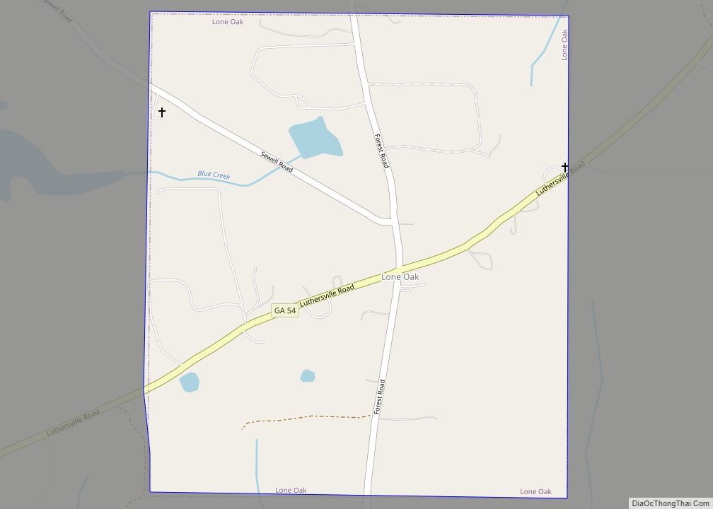
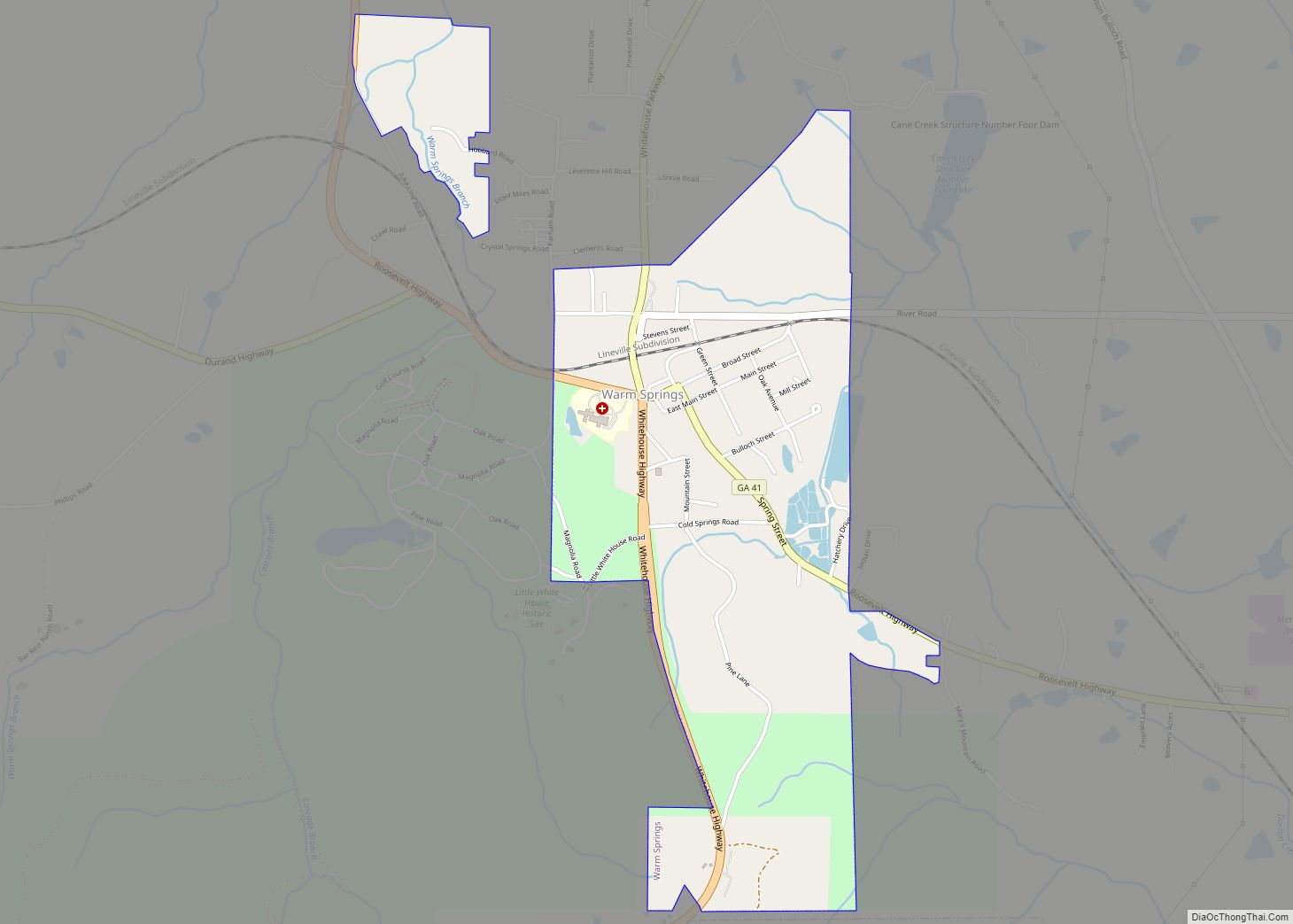
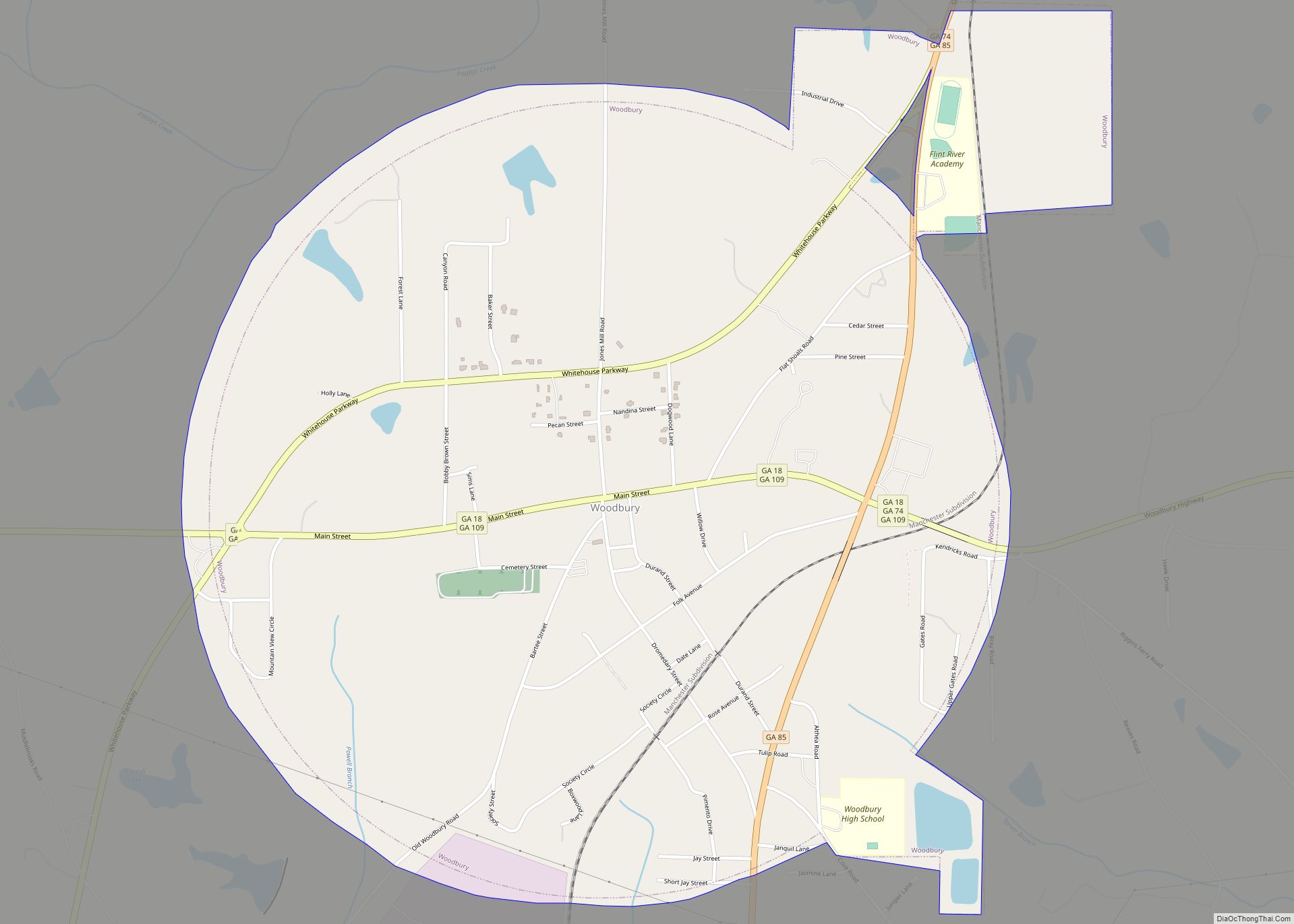
Online Interactive Map
Click on ![]() to view map in "full screen" mode.
to view map in "full screen" mode.
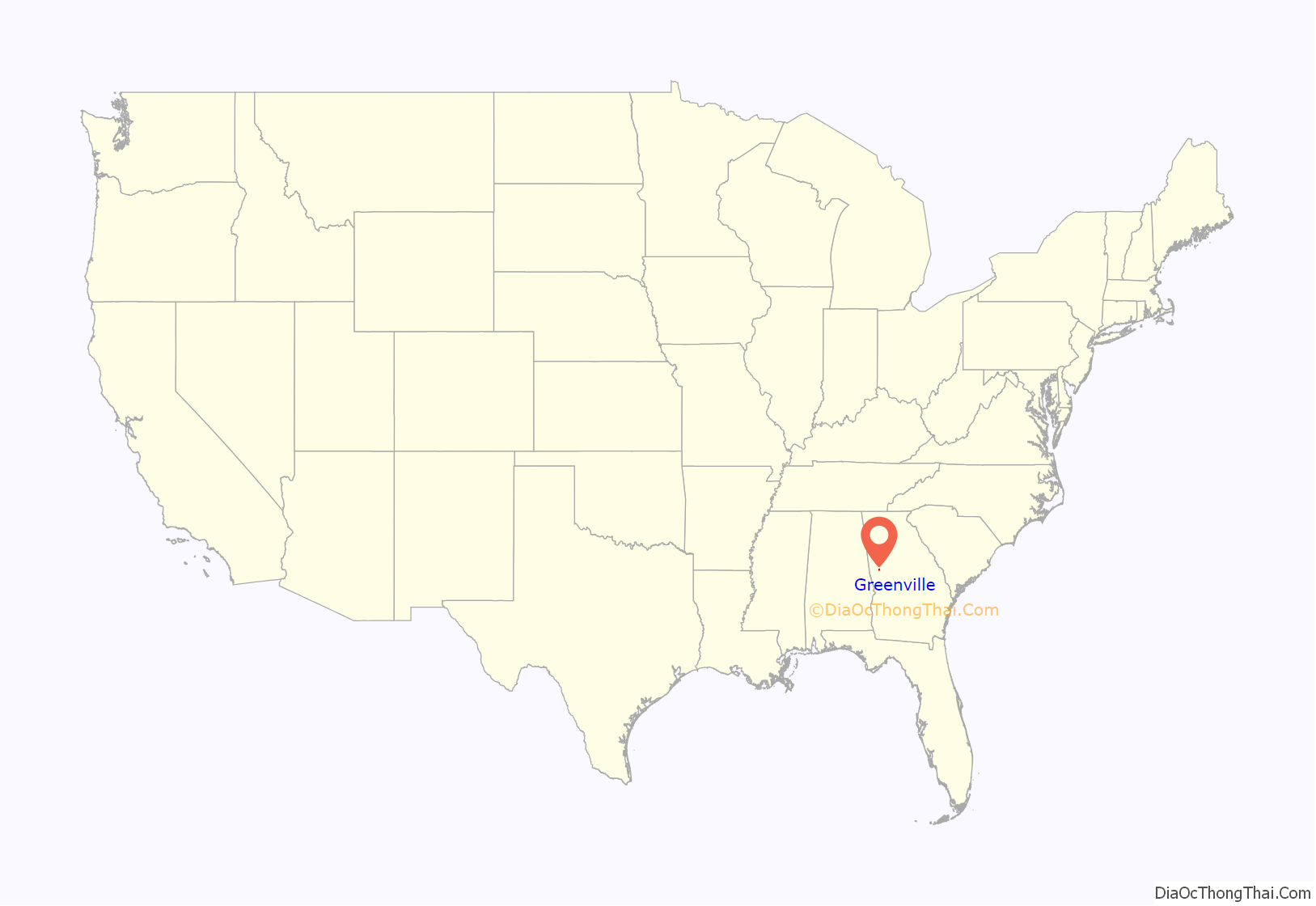
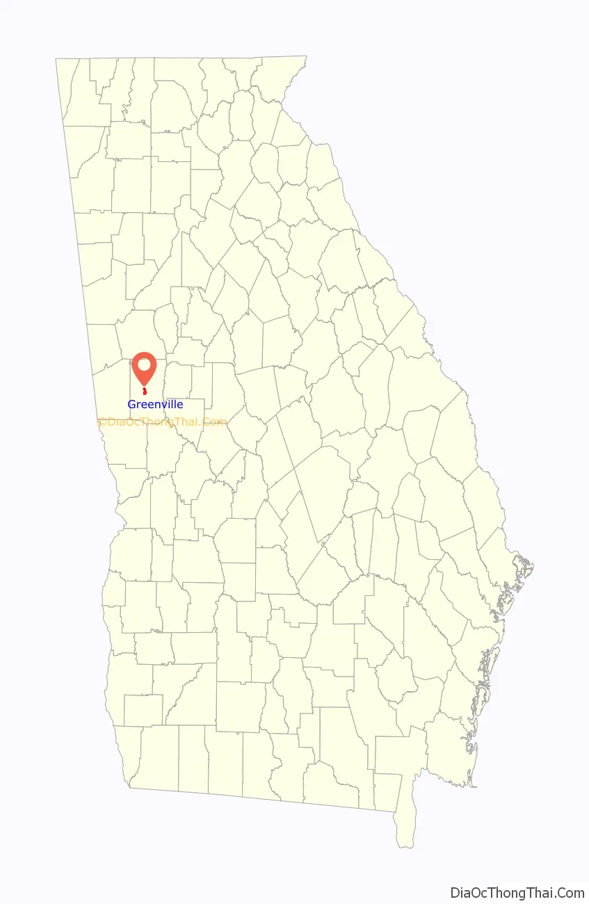
Greenville location map. Where is Greenville city?
History
Greenville was founded in 1828 as the seat of the newly formed Meriweather County. The city was named for Major General Nathanael Greene, commander of the rebel American forces at the Battle of Guilford Court House on March 15, 1781.
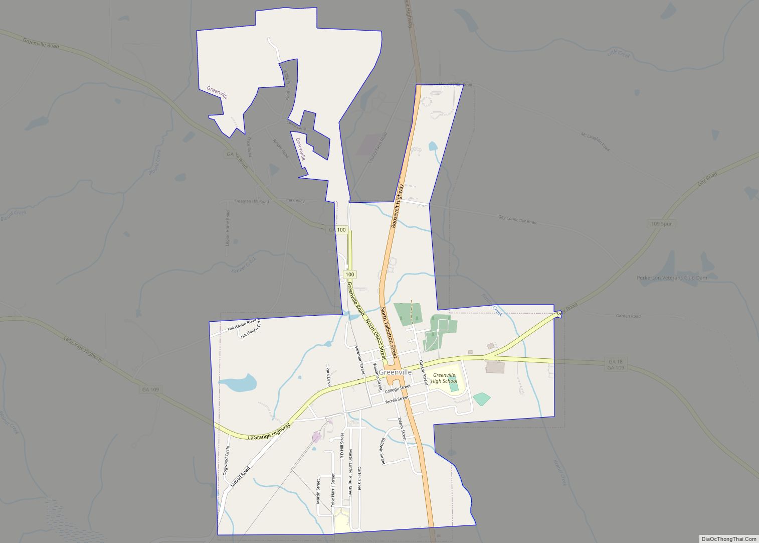
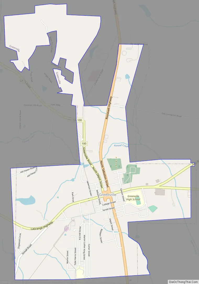
Greenville Road Map
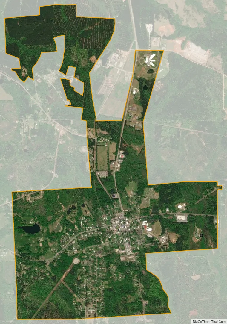
Greenville city Satellite Map
Geography
Greenville is located in central Meriwether County at 33°1′40″N 84°42′49″W / 33.02778°N 84.71361°W / 33.02778; -84.71361 (33.027845, -84.713562). U.S. Route 27 Alternate and Georgia State Routes 109 and 100 intersect in the center of the city at the county courthouse. US 27 Alternate leads north 25 miles (40 km) to Newnan and south 49 miles (79 km) to Columbus, while State Route 109 leads southeast 8 miles (13 km) to Woodbury and west 20 miles (32 km) to LaGrange. State Route 100 leads northwest 16 miles (26 km) to Hogansville.
According to the United States Census Bureau, the city has a total area of 2.4 square miles (6.2 km), of which 0.01 square miles (0.03 km), or 0.59%, are water. The city drains to the south into Walnut Creek and to the east into Kennel Creek, a tributary. Walnut Creek is an east-flowing tributary of Red Oak Creek and part of the Flint River watershed.
See also
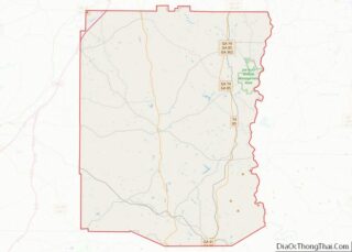
Map of Georgia State and its subdivision:- Appling
- Atkinson
- Bacon
- Baker
- Baldwin
- Banks
- Barrow
- Bartow
- Ben Hill
- Berrien
- Bibb
- Bleckley
- Brantley
- Brooks
- Bryan
- Bulloch
- Burke
- Butts
- Calhoun
- Camden
- Candler
- Carroll
- Catoosa
- Charlton
- Chatham
- Chattahoochee
- Chattooga
- Cherokee
- Clarke
- Clay
- Clayton
- Clinch
- Cobb
- Coffee
- Colquitt
- Columbia
- Cook
- Coweta
- Crawford
- Crisp
- Dade
- Dawson
- Decatur
- DeKalb
- Dodge
- Dooly
- Dougherty
- Douglas
- Early
- Echols
- Effingham
- Elbert
- Emanuel
- Evans
- Fannin
- Fayette
- Floyd
- Forsyth
- Franklin
- Fulton
- Gilmer
- Glascock
- Glynn
- Gordon
- Grady
- Greene
- Gwinnett
- Habersham
- Hall
- Hancock
- Haralson
- Harris
- Hart
- Heard
- Henry
- Houston
- Irwin
- Jackson
- Jasper
- Jeff Davis
- Jefferson
- Jenkins
- Johnson
- Jones
- Lamar
- Lanier
- Laurens
- Lee
- Liberty
- Lincoln
- Long
- Lowndes
- Lumpkin
- Macon
- Madison
- Marion
- McDuffie
- McIntosh
- Meriwether
- Miller
- Mitchell
- Monroe
- Montgomery
- Morgan
- Murray
- Muscogee
- Newton
- Oconee
- Oglethorpe
- Paulding
- Peach
- Pickens
- Pierce
- Pike
- Polk
- Pulaski
- Putnam
- Quitman
- Rabun
- Randolph
- Richmond
- Rockdale
- Schley
- Screven
- Seminole
- Spalding
- Stephens
- Stewart
- Sumter
- Talbot
- Taliaferro
- Tattnall
- Taylor
- Telfair
- Terrell
- Thomas
- Tift
- Toombs
- Towns
- Treutlen
- Troup
- Turner
- Twiggs
- Union
- Upson
- Walker
- Walton
- Ware
- Warren
- Washington
- Wayne
- Webster
- Wheeler
- White
- Whitfield
- Wilcox
- Wilkes
- Wilkinson
- Worth
- Alabama
- Alaska
- Arizona
- Arkansas
- California
- Colorado
- Connecticut
- Delaware
- District of Columbia
- Florida
- Georgia
- Hawaii
- Idaho
- Illinois
- Indiana
- Iowa
- Kansas
- Kentucky
- Louisiana
- Maine
- Maryland
- Massachusetts
- Michigan
- Minnesota
- Mississippi
- Missouri
- Montana
- Nebraska
- Nevada
- New Hampshire
- New Jersey
- New Mexico
- New York
- North Carolina
- North Dakota
- Ohio
- Oklahoma
- Oregon
- Pennsylvania
- Rhode Island
- South Carolina
- South Dakota
- Tennessee
- Texas
- Utah
- Vermont
- Virginia
- Washington
- West Virginia
- Wisconsin
- Wyoming