Gray is a city in Jones County, Georgia, United States. The population was 3,276 at the 2010 census, up from 1,811 at the 2000 census. The city is the county seat of Jones County. It is part of the Macon Metropolitan Area.
| Name: | Gray city |
|---|---|
| LSAD Code: | 25 |
| LSAD Description: | city (suffix) |
| State: | Georgia |
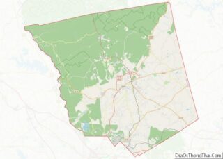
| County: | Jones County |
| Elevation: | 603 ft (183 m) |
| Total Area: | 3.95 sq mi (10.22 km²) |
| Land Area: | 3.94 sq mi (10.20 km²) |
| Water Area: | 0.01 sq mi (0.02 km²) |
| Total Population: | 3,436 |
| Population Density: | 872.75/sq mi (336.93/km²) |
| ZIP code: | 31032 |
| Area code: | 478 |
| FIPS code: | 1334512 |
| GNISfeature ID: | 0327996 |
| Website: | grayga.us |
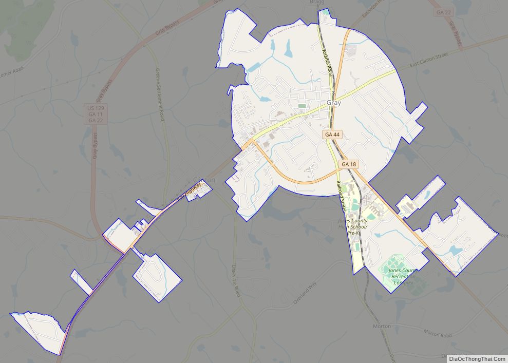
Online Interactive Map
Click on ![]() to view map in "full screen" mode.
to view map in "full screen" mode.
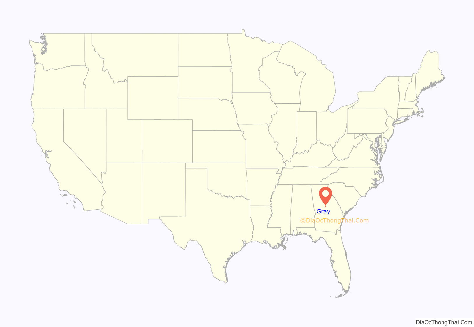
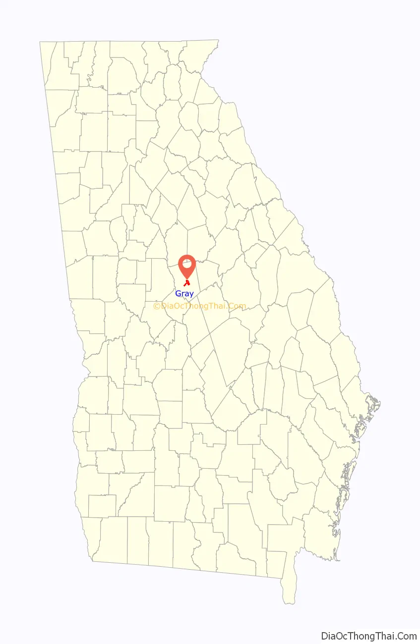
Gray location map. Where is Gray city?
History
Gray was founded in the 1850s and named for local resident James M. Gray. In 1905, the seat of Jones County was transferred to Gray.
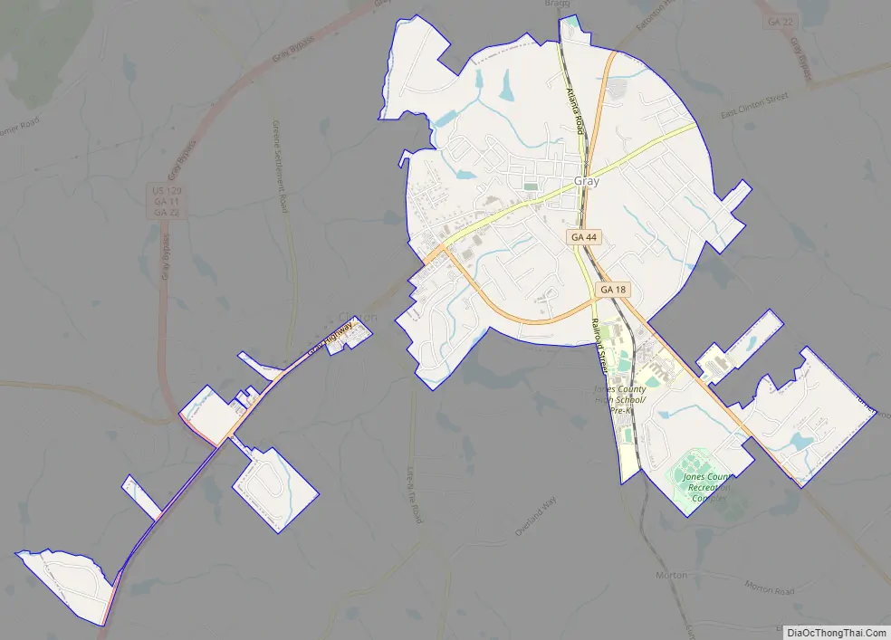
Gray Road Map
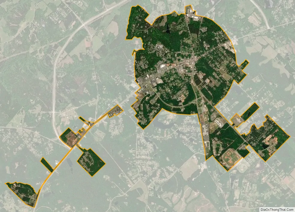
Gray city Satellite Map
Geography
Gray is located in central Jones County at 33°00′31″N 83°32′03″W / 33.0086°N 83.5342°W / 33.0086; -83.5342. U.S. Route 129 passes through the center of town, leading northeast 25 miles (40 km) to Eatonton and southwest 14 miles (23 km) to Macon. Monticello is 25 miles (40 km) to the northwest via State Route 11, Milledgeville is 19 miles (31 km) to the east via State Route 22, and Gordon is 15 miles (24 km) to the southeast via State Route 18.
According to the United States Census Bureau, Gray has a total area of 3.9 square miles (10.1 km), of which 0.01 square miles (0.03 km), or 0.34%, are water. Gray is drained to the west by tributaries of Walnut Creek, flowing to the Ocmulgee River, and to the east by tributaries of Commissioner Creek, flowing to the Oconee River.
See also
Map of Georgia State and its subdivision:- Appling
- Atkinson
- Bacon
- Baker
- Baldwin
- Banks
- Barrow
- Bartow
- Ben Hill
- Berrien
- Bibb
- Bleckley
- Brantley
- Brooks
- Bryan
- Bulloch
- Burke
- Butts
- Calhoun
- Camden
- Candler
- Carroll
- Catoosa
- Charlton
- Chatham
- Chattahoochee
- Chattooga
- Cherokee
- Clarke
- Clay
- Clayton
- Clinch
- Cobb
- Coffee
- Colquitt
- Columbia
- Cook
- Coweta
- Crawford
- Crisp
- Dade
- Dawson
- Decatur
- DeKalb
- Dodge
- Dooly
- Dougherty
- Douglas
- Early
- Echols
- Effingham
- Elbert
- Emanuel
- Evans
- Fannin
- Fayette
- Floyd
- Forsyth
- Franklin
- Fulton
- Gilmer
- Glascock
- Glynn
- Gordon
- Grady
- Greene
- Gwinnett
- Habersham
- Hall
- Hancock
- Haralson
- Harris
- Hart
- Heard
- Henry
- Houston
- Irwin
- Jackson
- Jasper
- Jeff Davis
- Jefferson
- Jenkins
- Johnson
- Jones
- Lamar
- Lanier
- Laurens
- Lee
- Liberty
- Lincoln
- Long
- Lowndes
- Lumpkin
- Macon
- Madison
- Marion
- McDuffie
- McIntosh
- Meriwether
- Miller
- Mitchell
- Monroe
- Montgomery
- Morgan
- Murray
- Muscogee
- Newton
- Oconee
- Oglethorpe
- Paulding
- Peach
- Pickens
- Pierce
- Pike
- Polk
- Pulaski
- Putnam
- Quitman
- Rabun
- Randolph
- Richmond
- Rockdale
- Schley
- Screven
- Seminole
- Spalding
- Stephens
- Stewart
- Sumter
- Talbot
- Taliaferro
- Tattnall
- Taylor
- Telfair
- Terrell
- Thomas
- Tift
- Toombs
- Towns
- Treutlen
- Troup
- Turner
- Twiggs
- Union
- Upson
- Walker
- Walton
- Ware
- Warren
- Washington
- Wayne
- Webster
- Wheeler
- White
- Whitfield
- Wilcox
- Wilkes
- Wilkinson
- Worth
- Alabama
- Alaska
- Arizona
- Arkansas
- California
- Colorado
- Connecticut
- Delaware
- District of Columbia
- Florida
- Georgia
- Hawaii
- Idaho
- Illinois
- Indiana
- Iowa
- Kansas
- Kentucky
- Louisiana
- Maine
- Maryland
- Massachusetts
- Michigan
- Minnesota
- Mississippi
- Missouri
- Montana
- Nebraska
- Nevada
- New Hampshire
- New Jersey
- New Mexico
- New York
- North Carolina
- North Dakota
- Ohio
- Oklahoma
- Oregon
- Pennsylvania
- Rhode Island
- South Carolina
- South Dakota
- Tennessee
- Texas
- Utah
- Vermont
- Virginia
- Washington
- West Virginia
- Wisconsin
- Wyoming