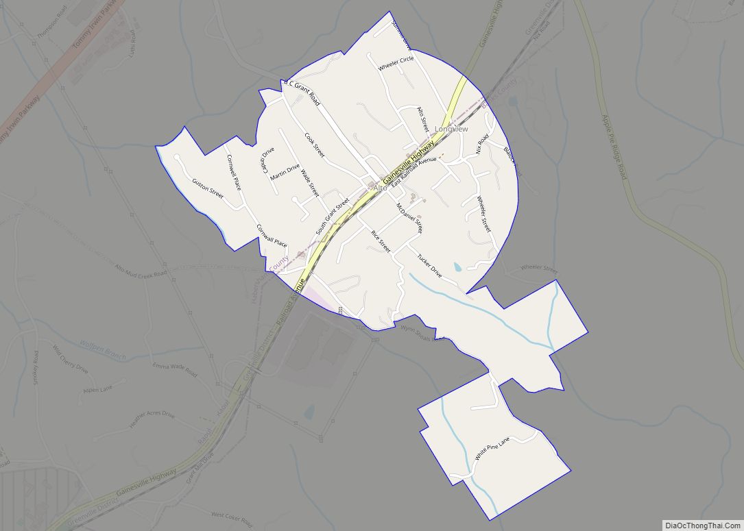
Alto is a town in Banks and Habersham counties in the U.S. state of Georgia. As of the 2010 census, the town had a population of 1,172, up from 876 at the 2000 census. Alto town overview: Name: Alto town LSAD Code: 43 LSAD Description: town (suffix) State: Georgia County: Banks County, Habersham County Elevation: ... Read more
Georgia Cities and Places
Arabi is a town in Crisp County, Georgia, United States. As of the 2010 census, it had a population of 586. Arabi town overview: Name: Arabi town LSAD Code: 43 LSAD Description: town (suffix) State: Georgia County: Crisp County Elevation: 440 ft (134 m) Total Area: 6.44 sq mi (16.69 km²) Land Area: 6.29 sq mi (16.30 km²) Water Area: 0.15 sq mi (0.38 km²) Total ... Read more
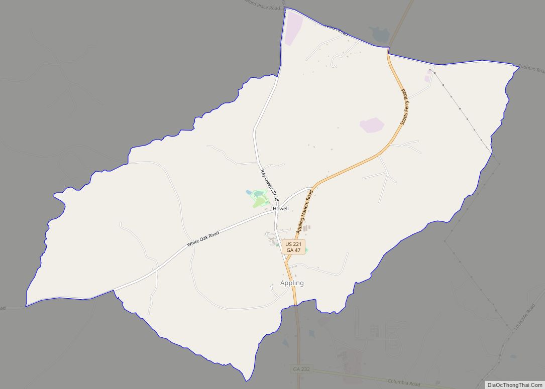
Appling is a census-designated place in and the county seat of Columbia County, Georgia, United States. As of the 2020 census, its population is 658. It is part of the Augusta metropolitan area. Appling was formerly a city but, with the 1993 passage of legislation requiring cities to provide at least three municipal services, Appling ... Read more
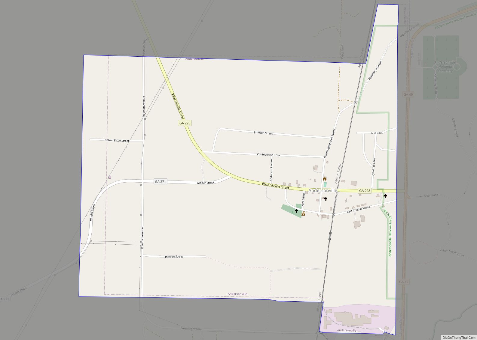
Andersonville is a city in Sumter County, Georgia, United States. As of the 2020 census, the city had a population of 237. It is located in the southwest part of the state, approximately 60 miles (97 km) southwest of Macon on the Central of Georgia railroad. During the American Civil War, it was the site of ... Read more
Argyle is a town in Clinch County, Georgia, United States. As of the 2020 census, the city had a population of 190. Argyle town overview: Name: Argyle town LSAD Code: 43 LSAD Description: town (suffix) State: Georgia County: Clinch County Elevation: 161 ft (49 m) Total Area: 1.72 sq mi (4.45 km²) Land Area: 1.72 sq mi (4.45 km²) Water Area: 0.00 sq mi (0.00 km²) ... Read more
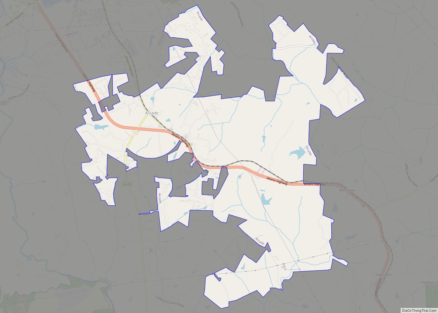
Arcade is a city in Jackson County, Georgia, United States. As of the 2020 census it had a population of 1,884. Arcade city overview: Name: Arcade city LSAD Code: 25 LSAD Description: city (suffix) State: Georgia County: Jackson County Elevation: 876 ft (267 m) Total Area: 9.28 sq mi (24.02 km²) Land Area: 9.20 sq mi (23.82 km²) Water Area: 0.08 sq mi (0.21 km²) Total ... Read more
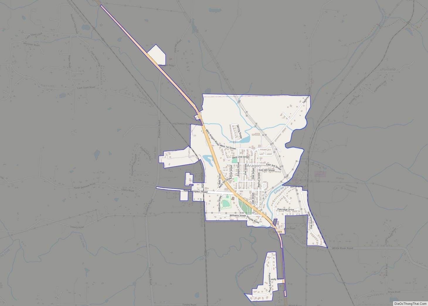
Aragon is a city in Polk County, Georgia, United States. As of the 2020 census, the city had a population of 1,440. Aragon city overview: Name: Aragon city LSAD Code: 25 LSAD Description: city (suffix) State: Georgia County: Polk County Elevation: 741 ft (226 m) Total Area: 1.11 sq mi (2.87 km²) Land Area: 1.09 sq mi (2.82 km²) Water Area: 0.02 sq mi (0.05 km²) ... Read more
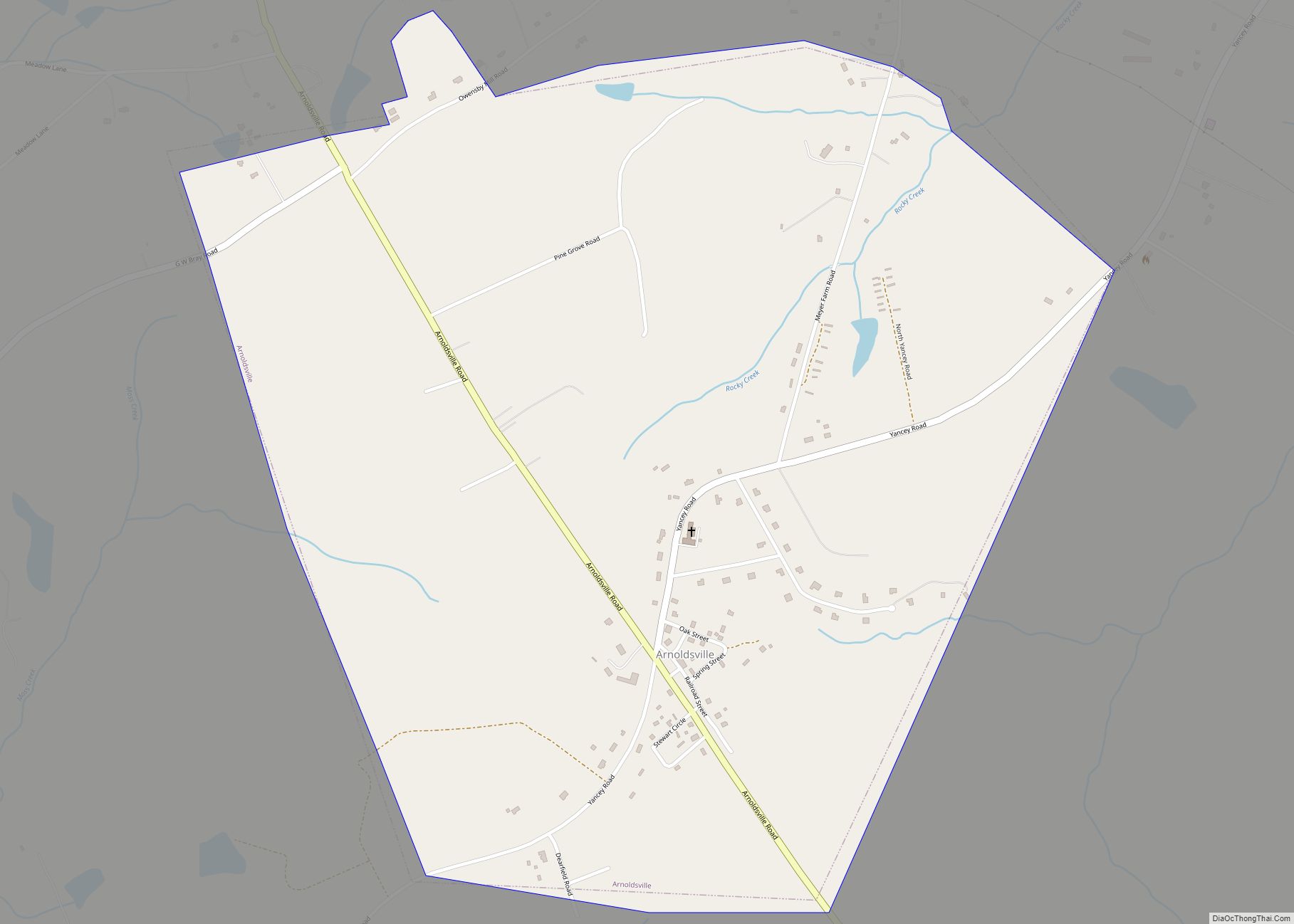
Arnoldsville is a city in Oglethorpe County, Georgia, United States. As of the 2020 census, the city had a population of 431. Arnoldsville city overview: Name: Arnoldsville city LSAD Code: 25 LSAD Description: city (suffix) State: Georgia County: Oglethorpe County Elevation: 797 ft (243 m) Total Area: 1.71 sq mi (4.44 km²) Land Area: 1.71 sq mi (4.43 km²) Water Area: 0.00 sq mi (0.01 km²) ... Read more
Arlington is a city in Calhoun and Early counties, Georgia, United States. Per the 2020 census, the population was 1,209. Arlington city overview: Name: Arlington city LSAD Code: 25 LSAD Description: city (suffix) State: Georgia County: Calhoun County, Early County Elevation: 299 ft (91 m) Total Area: 4.01 sq mi (10.38 km²) Land Area: 4.00 sq mi (10.35 km²) Water Area: 0.01 sq mi (0.03 km²) ... Read more
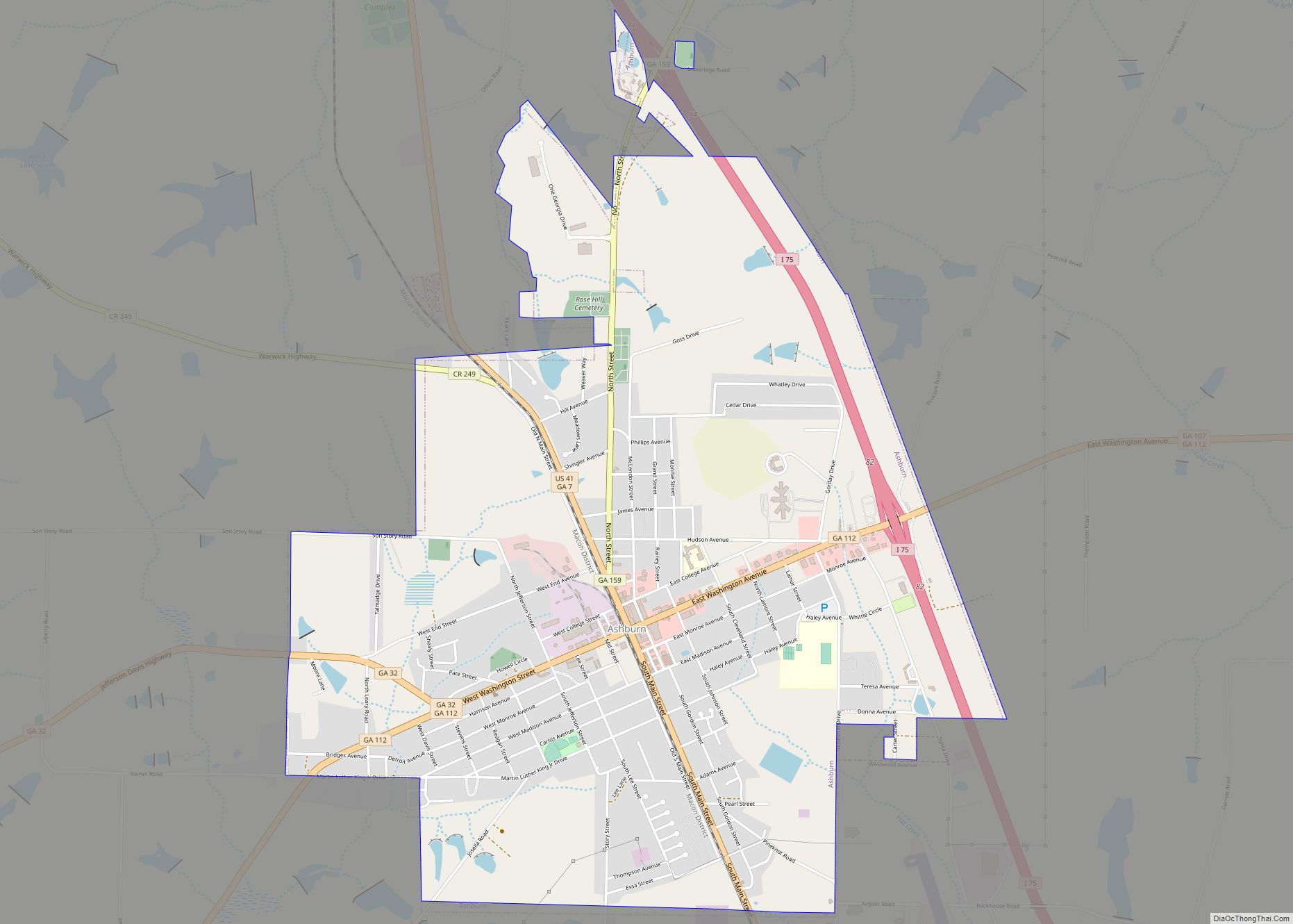
The city of Ashburn is the county seat of Turner County, Georgia, United States. As of 2010, the city had a population of 4,152. Ashburn’s government is classified as a council/manager form of municipal government. Ashburn is noted for its peanuts and a fire ant festival. Ashburn city overview: Name: Ashburn city LSAD Code: 25 ... Read more
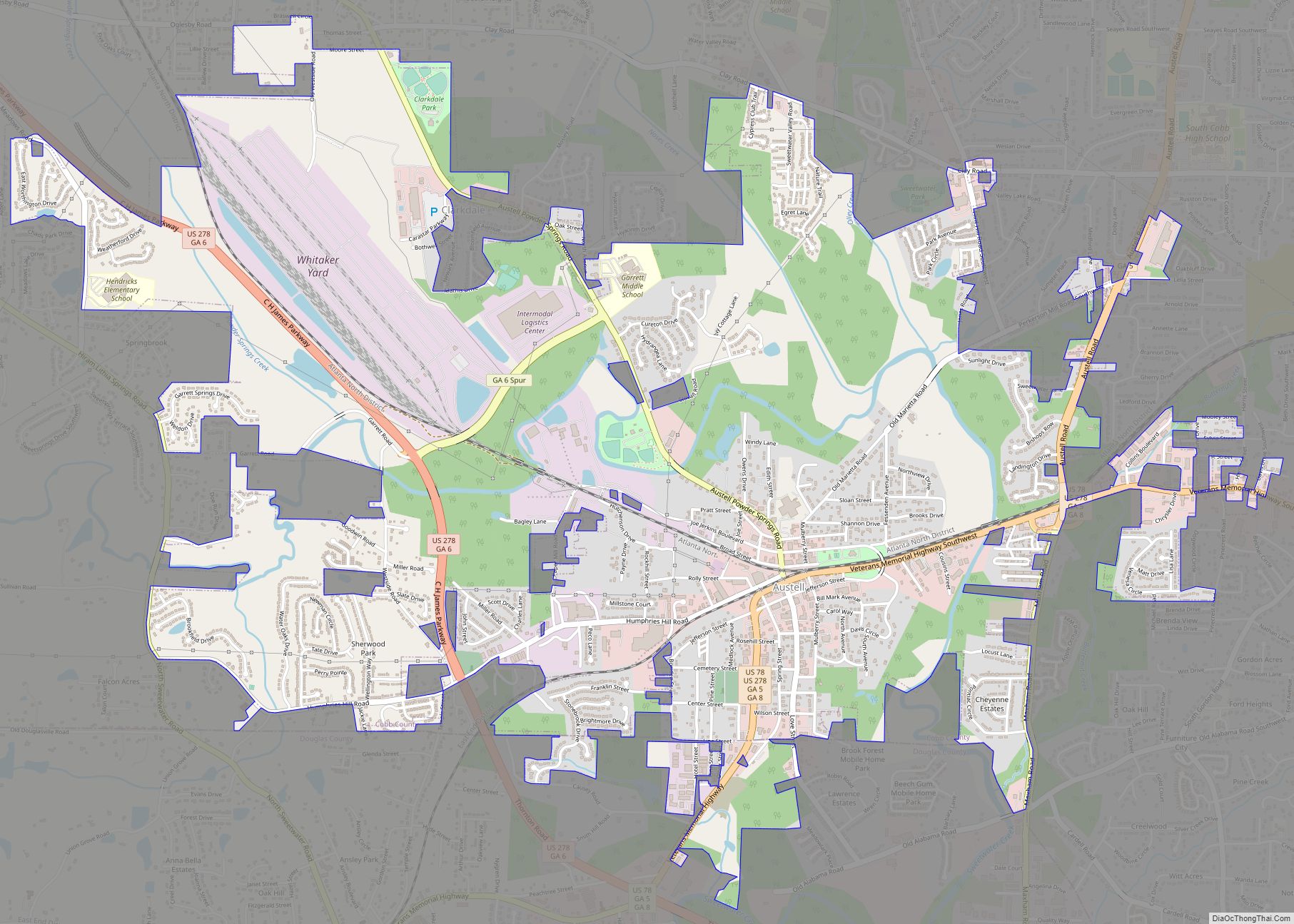
Austell is a city in Cobb and Douglas Counties in the U.S. state of Georgia. It is part of the Atlanta metropolitan area. As of the 2020 census, the city had a population of 7,713. Austell city overview: Name: Austell city LSAD Code: 25 LSAD Description: city (suffix) State: Georgia County: Cobb County, Douglas County ... Read more
Auburn is a city in Barrow and Gwinnett counties in the U.S. state of Georgia. As of the 2020 census, the city had a population of 7,495. Auburn city overview: Name: Auburn city LSAD Code: 25 LSAD Description: city (suffix) State: Georgia County: Barrow County, Gwinnett County Elevation: 1,024 ft (312 m) Total Area: 6.80 sq mi (17.61 km²) Land ... Read more
