Arabi is a town in Crisp County, Georgia, United States. As of the 2010 census, it had a population of 586.
| Name: | Arabi town |
|---|---|
| LSAD Code: | 43 |
| LSAD Description: | town (suffix) |
| State: | Georgia |
| County: | Crisp County |
| Elevation: | 440 ft (134 m) |
| Total Area: | 6.44 sq mi (16.69 km²) |
| Land Area: | 6.29 sq mi (16.30 km²) |
| Water Area: | 0.15 sq mi (0.38 km²) |
| Total Population: | 447 |
| Population Density: | 71.01/sq mi (27.42/km²) |
| ZIP code: | 31712 |
| Area code: | 229 |
| FIPS code: | 1302564 |
| GNISfeature ID: | 0331047 |
| Website: | cityofarabi.com |
Online Interactive Map
Click on ![]() to view map in "full screen" mode.
to view map in "full screen" mode.
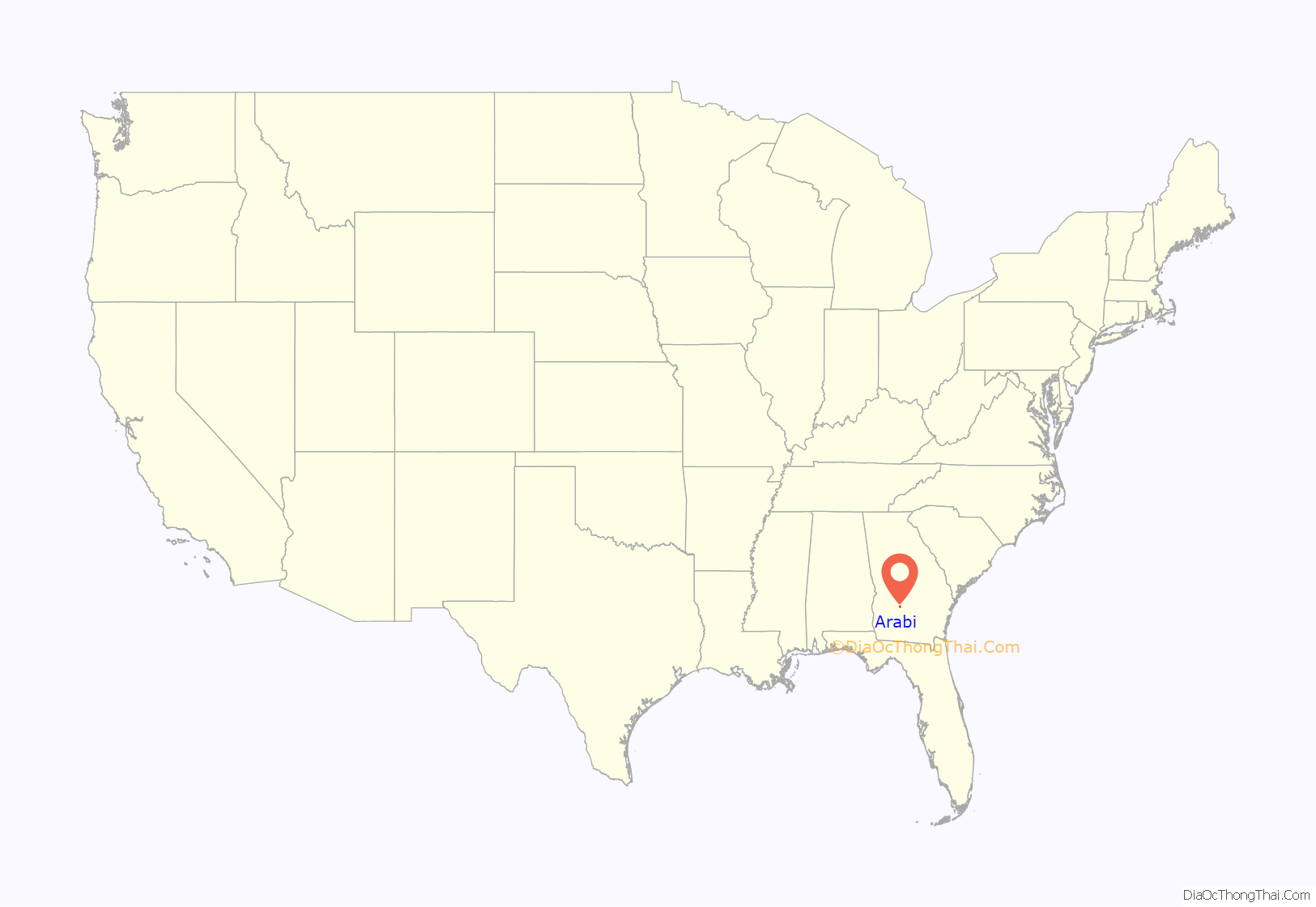
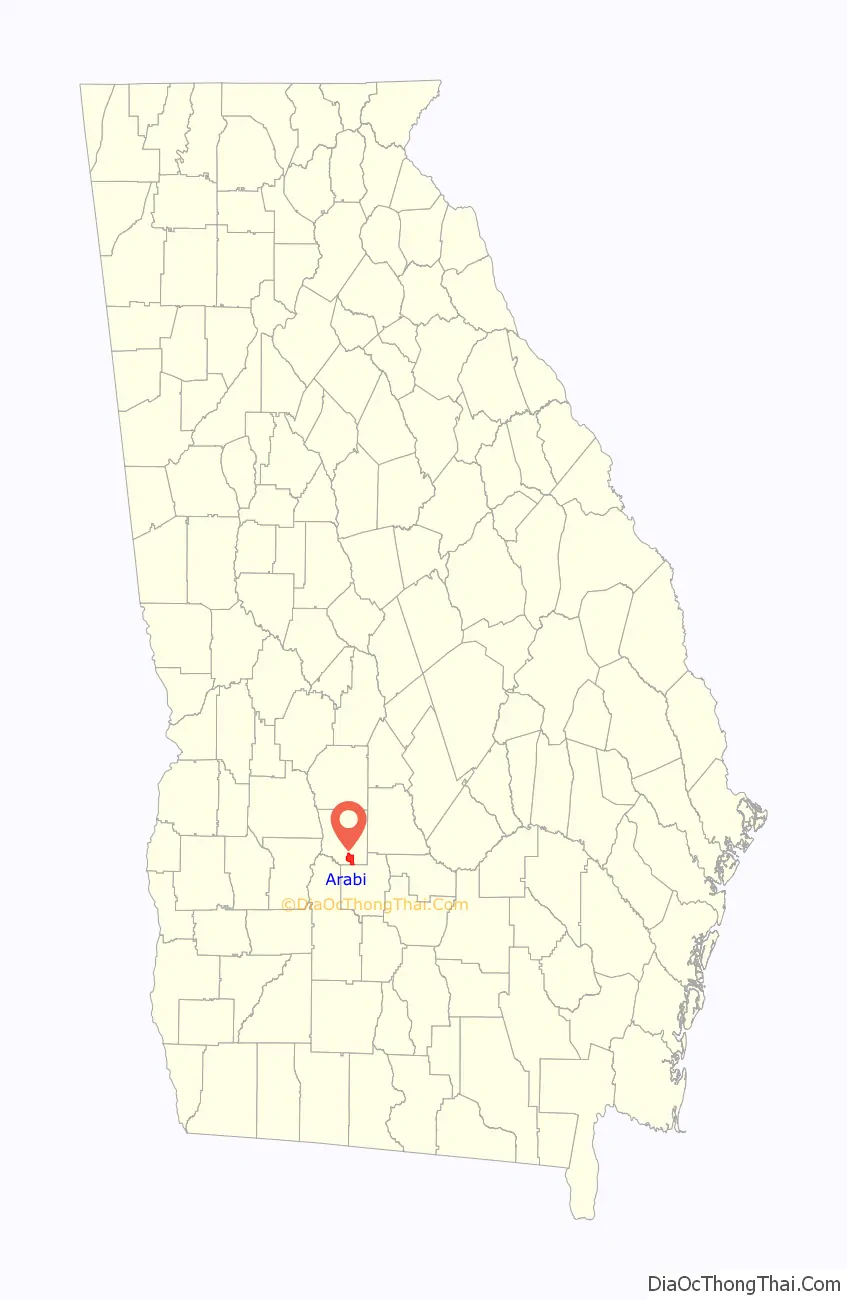
Arabi location map. Where is Arabi town?
History
The first permanent settlement at Arabi was made in 1888. According to tradition, the name “Arabi” was coined after a local surname. The town was chartered in 1891.
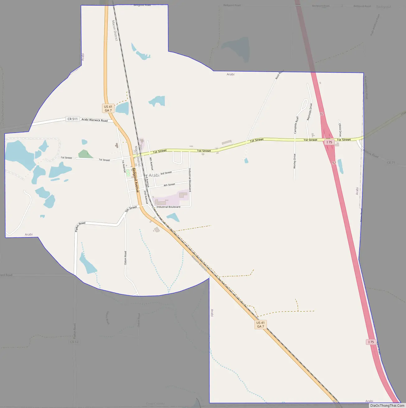
Arabi Road Map
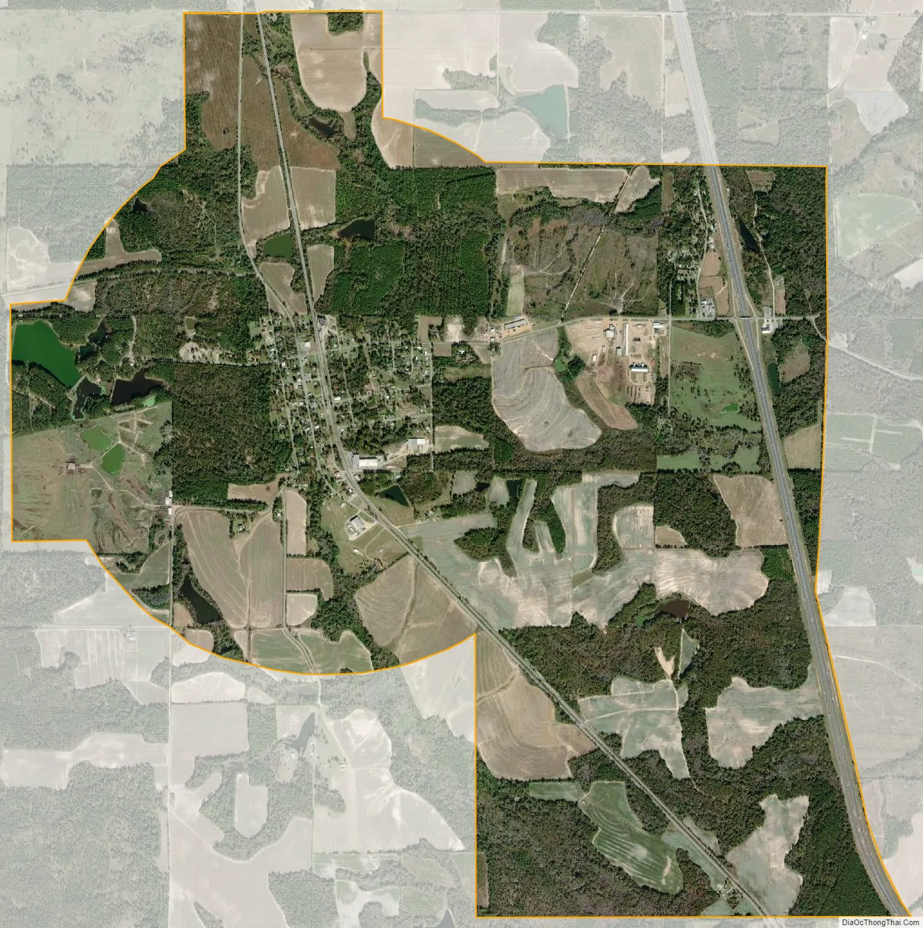
Arabi city Satellite Map
Geography
Arabi is located in southern Crisp County at 31°50′1″N 83°44′6″W / 31.83361°N 83.73500°W / 31.83361; -83.73500 (31.833473, -83.734912). U.S. Route 41 passes through the center of the town as Bedgood Avenue, leading north 9 miles (14 km) to Cordele, the county seat, and south 10 miles (16 km) to Ashburn. Interstate 75 passes through the eastern side of the town, with access from Exit 92, and leads north 73 miles (117 km) to Macon and south 75 miles (121 km) to Valdosta.
According to the United States Census Bureau, Arabi has a total area of 6.4 square miles (16.6 km), of which 6.3 square miles (16.3 km) is land and 0.12 square miles (0.3 km), or 1.81%, is water.
See also
Map of Georgia State and its subdivision:- Appling
- Atkinson
- Bacon
- Baker
- Baldwin
- Banks
- Barrow
- Bartow
- Ben Hill
- Berrien
- Bibb
- Bleckley
- Brantley
- Brooks
- Bryan
- Bulloch
- Burke
- Butts
- Calhoun
- Camden
- Candler
- Carroll
- Catoosa
- Charlton
- Chatham
- Chattahoochee
- Chattooga
- Cherokee
- Clarke
- Clay
- Clayton
- Clinch
- Cobb
- Coffee
- Colquitt
- Columbia
- Cook
- Coweta
- Crawford
- Crisp
- Dade
- Dawson
- Decatur
- DeKalb
- Dodge
- Dooly
- Dougherty
- Douglas
- Early
- Echols
- Effingham
- Elbert
- Emanuel
- Evans
- Fannin
- Fayette
- Floyd
- Forsyth
- Franklin
- Fulton
- Gilmer
- Glascock
- Glynn
- Gordon
- Grady
- Greene
- Gwinnett
- Habersham
- Hall
- Hancock
- Haralson
- Harris
- Hart
- Heard
- Henry
- Houston
- Irwin
- Jackson
- Jasper
- Jeff Davis
- Jefferson
- Jenkins
- Johnson
- Jones
- Lamar
- Lanier
- Laurens
- Lee
- Liberty
- Lincoln
- Long
- Lowndes
- Lumpkin
- Macon
- Madison
- Marion
- McDuffie
- McIntosh
- Meriwether
- Miller
- Mitchell
- Monroe
- Montgomery
- Morgan
- Murray
- Muscogee
- Newton
- Oconee
- Oglethorpe
- Paulding
- Peach
- Pickens
- Pierce
- Pike
- Polk
- Pulaski
- Putnam
- Quitman
- Rabun
- Randolph
- Richmond
- Rockdale
- Schley
- Screven
- Seminole
- Spalding
- Stephens
- Stewart
- Sumter
- Talbot
- Taliaferro
- Tattnall
- Taylor
- Telfair
- Terrell
- Thomas
- Tift
- Toombs
- Towns
- Treutlen
- Troup
- Turner
- Twiggs
- Union
- Upson
- Walker
- Walton
- Ware
- Warren
- Washington
- Wayne
- Webster
- Wheeler
- White
- Whitfield
- Wilcox
- Wilkes
- Wilkinson
- Worth
- Alabama
- Alaska
- Arizona
- Arkansas
- California
- Colorado
- Connecticut
- Delaware
- District of Columbia
- Florida
- Georgia
- Hawaii
- Idaho
- Illinois
- Indiana
- Iowa
- Kansas
- Kentucky
- Louisiana
- Maine
- Maryland
- Massachusetts
- Michigan
- Minnesota
- Mississippi
- Missouri
- Montana
- Nebraska
- Nevada
- New Hampshire
- New Jersey
- New Mexico
- New York
- North Carolina
- North Dakota
- Ohio
- Oklahoma
- Oregon
- Pennsylvania
- Rhode Island
- South Carolina
- South Dakota
- Tennessee
- Texas
- Utah
- Vermont
- Virginia
- Washington
- West Virginia
- Wisconsin
- Wyoming


