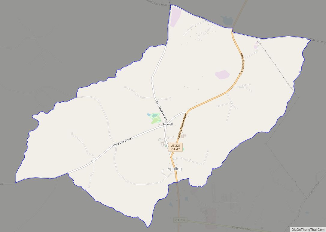
Appling is a census-designated place in and the county seat of Columbia County, Georgia, United States. As of the 2020 census, its population is 658. It is part of the Augusta metropolitan area.
Appling was formerly a city but, with the 1993 passage of legislation requiring cities to provide at least three municipal services, Appling was not able to remain incorporated. It was one of 187 inactive cities in Georgia that lost its charter on 1 June 1995. There was question as to whether it had ever been incorporated at all since it had no functioning corporate authorities.
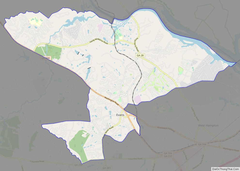
Columbia County government and judicial offices are in Evans with the Columbia County Government Center, the Government Complex Addition, and the Columbia County Courthouse Annex all located there. Appling retains its status as county seat but all governmental functions are carried out in Evans.
| Name: | Appling CDP |
|---|---|
| LSAD Code: | 57 |
| LSAD Description: | CDP (suffix) |
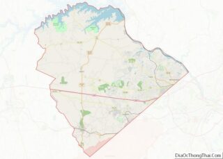
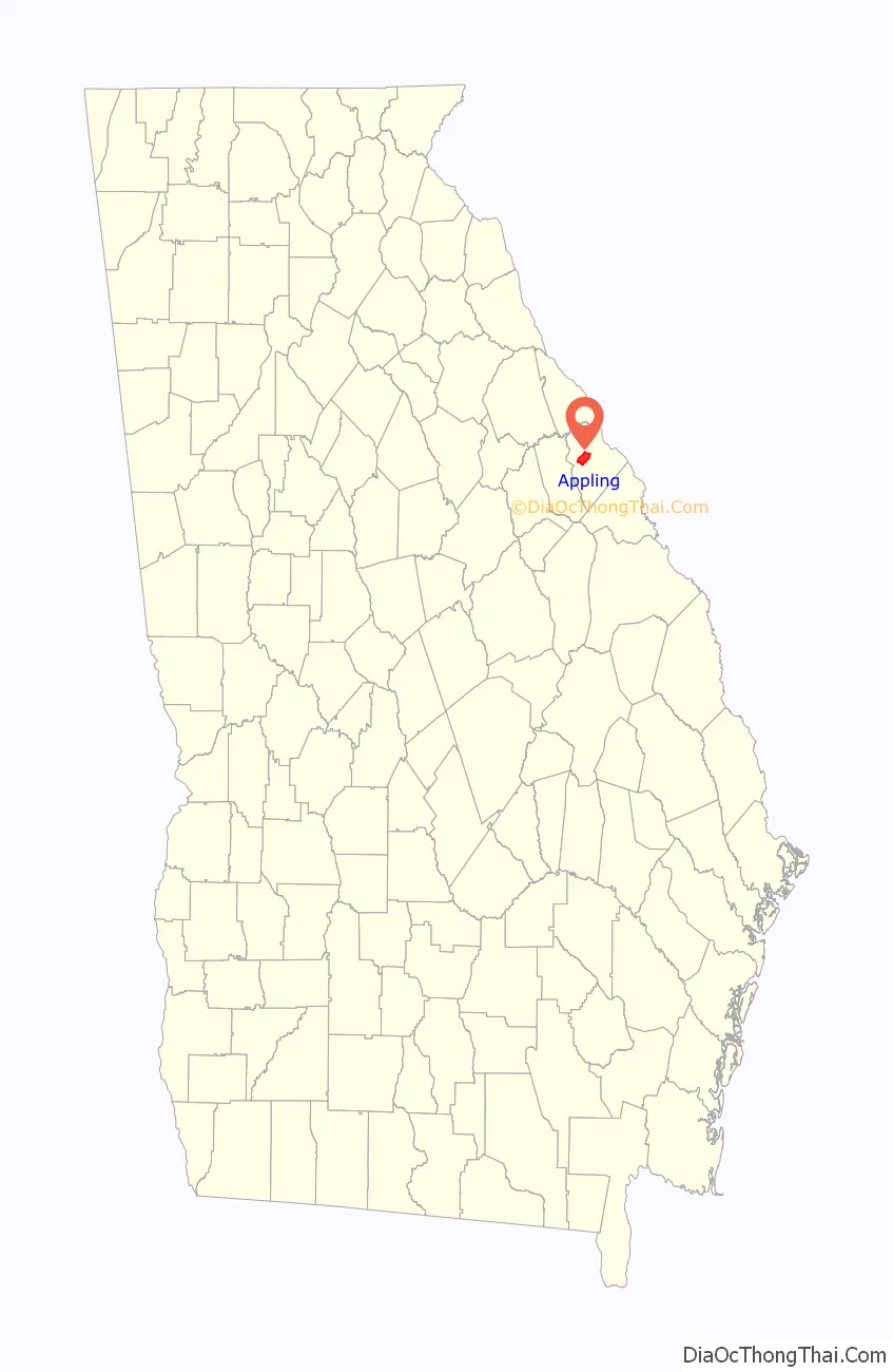
| State: | Georgia |
| County: | Columbia County |
| Elevation: | 292 ft (89 m) |
| Total Area: | 8.83 sq mi (22.86 km²) |
| Land Area: | 8.82 sq mi (22.84 km²) |
| Water Area: | 0.01 sq mi (0.02 km²) |
| Total Population: | 658 |
| Population Density: | 74.61/sq mi (28.81/km²) |
| ZIP code: | 30802 |
| FIPS code: | 1302536 |
Online Interactive Map
Click on ![]() to view map in "full screen" mode.
to view map in "full screen" mode.
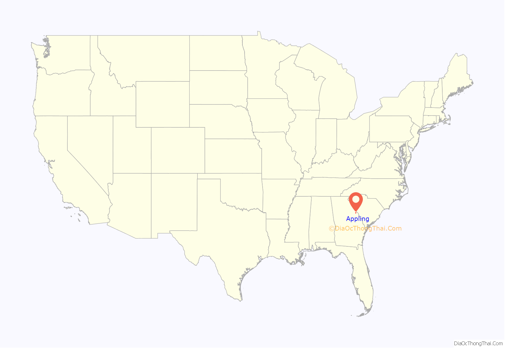
Appling location map. Where is Appling CDP?
History
Appling was known as Columbia Courthouse when it received its original town charter in 1816. The town was renamed for local resident Colonel Daniel Appling, a decorated soldier in the War of 1812, after he died in 1817.
In the early 19th century, Appling was the political, educational, social, and religious center of Columbia County and home to nearby schools Carmel Academy and Columbia Institute. Carmel Academy was founded by the famous Southern educator Moses Waddel and attended by John C. Calhoun and William H. Crawford. Columbia Institute was founded by Connecticut-born David Bushnell, inventor of the first naval wartime submarine, who moved to the area after serving in the American Revolutionary War.
In the 1830s, when the Georgia Railroad was established, it was decided that having a train pass through Appling would disturb the proceedings of the court, so the railway from Atlanta to Augusta was built to the south of Appling.
In 1855, the courthouse in Appling received a major overhaul, and after the remodeling was complete in 1856, the building was in more or less its present form, a vernacular structure with Greek Revival and Italianate influences. Despite the extensive project, the shell of the 1809-1812 building was retained and the structure has been listed on the National Register of Historic Places since 1980.
Appling was nearly destroyed by a tornado in the 1870s, and it never regained the prestige it had prior to the tornado and the Civil War. Although there was an effort to organize the municipality in the early 20th century, the corporation remained inactive. Appling lost its charter in 1995.
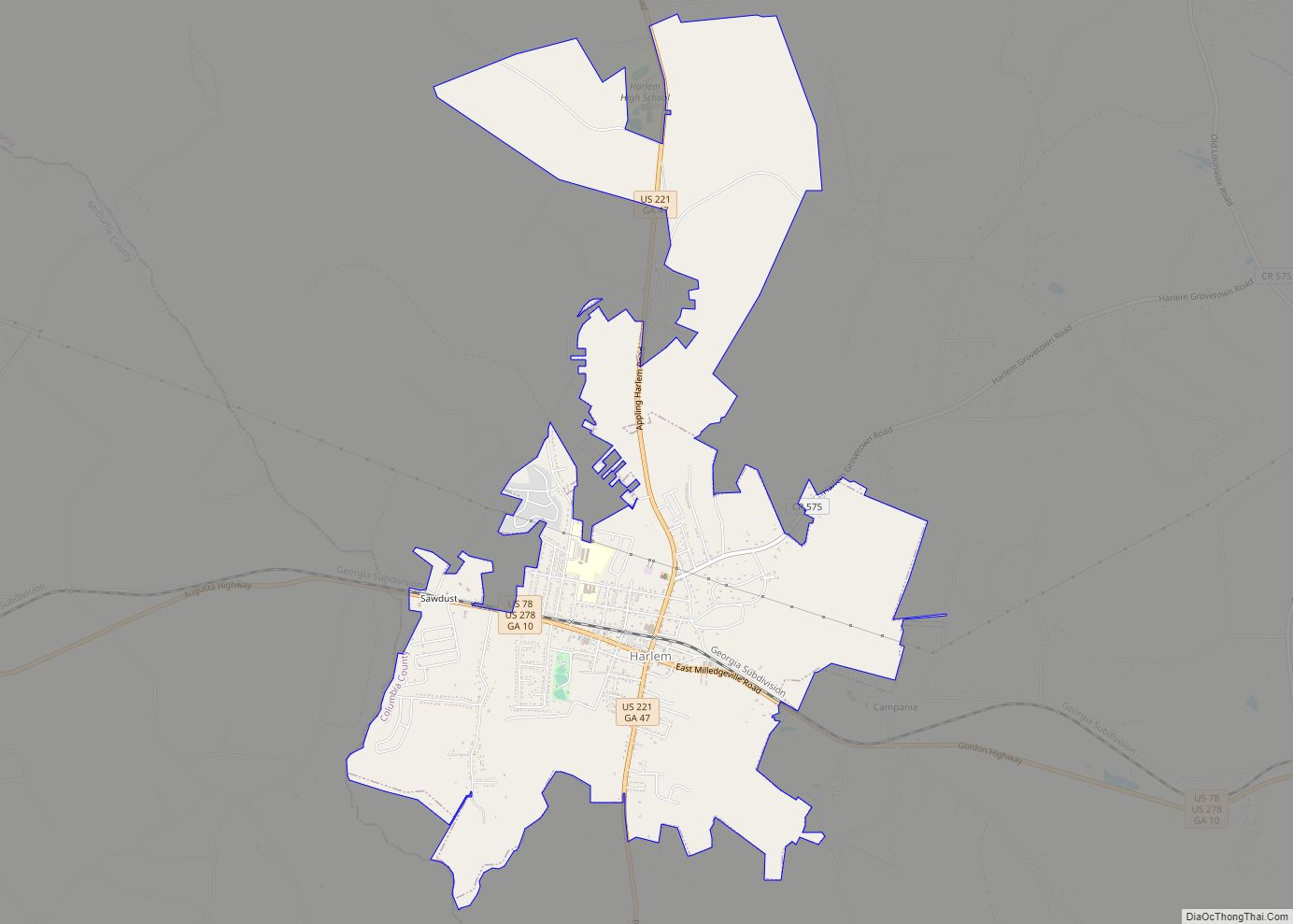
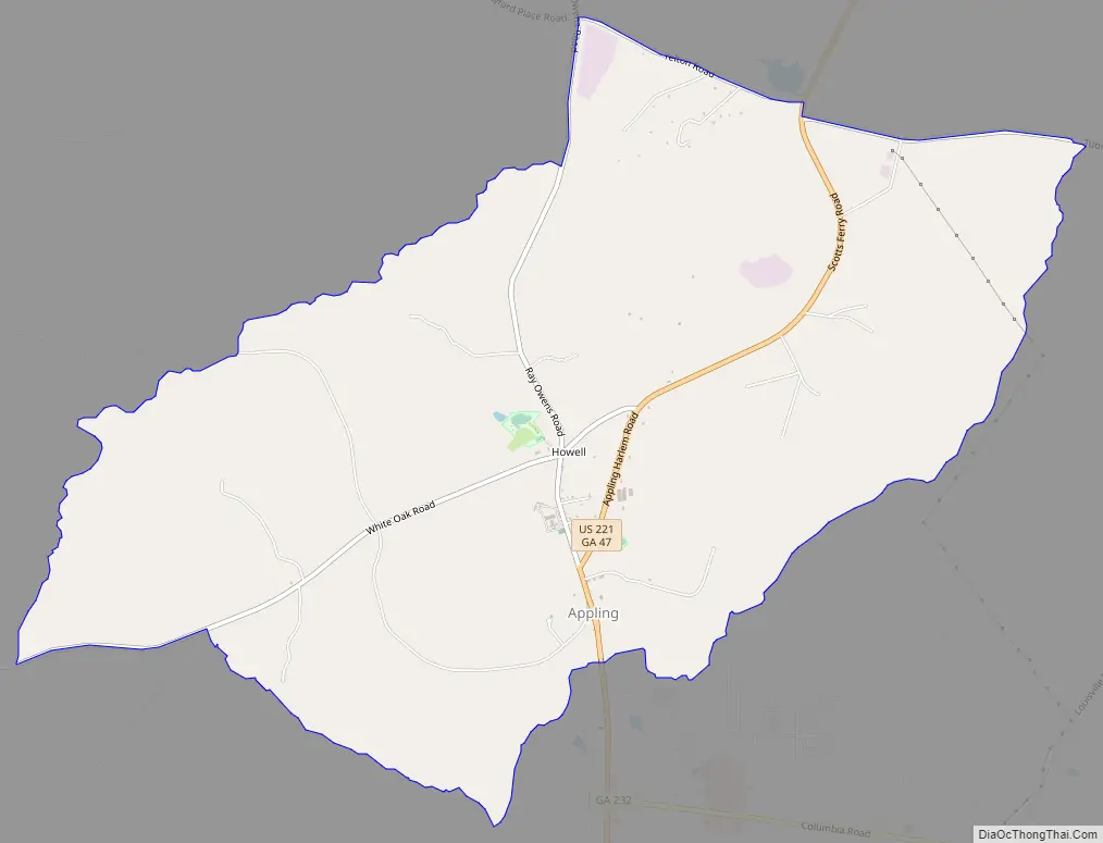
Appling Road Map
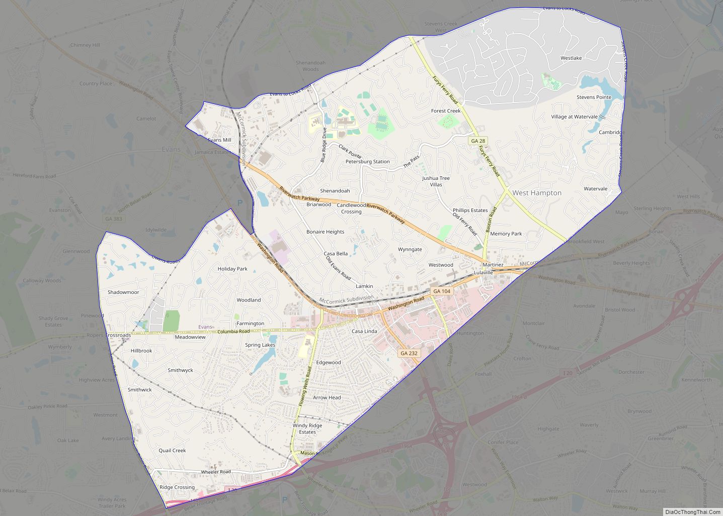
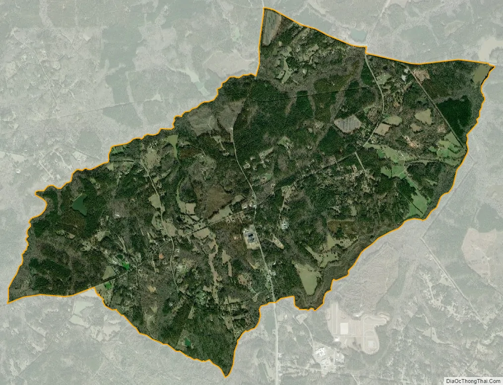
Appling city Satellite Map
Geography
Appling is located at 33°32′45″N 82°18′57″W / 33.54583°N 82.31583°W / 33.54583; -82.31583.
Appling lies along U.S. Route 221 (Appling-Harlem Road) and is traversed by (Great) Kiokee Creek.
See also
Map of Georgia State and its subdivision:- Appling
- Atkinson
- Bacon
- Baker
- Baldwin
- Banks
- Barrow
- Bartow
- Ben Hill
- Berrien
- Bibb
- Bleckley
- Brantley
- Brooks
- Bryan
- Bulloch
- Burke
- Butts
- Calhoun
- Camden
- Candler
- Carroll
- Catoosa
- Charlton
- Chatham
- Chattahoochee
- Chattooga
- Cherokee
- Clarke
- Clay
- Clayton
- Clinch
- Cobb
- Coffee
- Colquitt
- Columbia
- Cook
- Coweta
- Crawford
- Crisp
- Dade
- Dawson
- Decatur
- DeKalb
- Dodge
- Dooly
- Dougherty
- Douglas
- Early
- Echols
- Effingham
- Elbert
- Emanuel
- Evans
- Fannin
- Fayette
- Floyd
- Forsyth
- Franklin
- Fulton
- Gilmer
- Glascock
- Glynn
- Gordon
- Grady
- Greene
- Gwinnett
- Habersham
- Hall
- Hancock
- Haralson
- Harris
- Hart
- Heard
- Henry
- Houston
- Irwin
- Jackson
- Jasper
- Jeff Davis
- Jefferson
- Jenkins
- Johnson
- Jones
- Lamar
- Lanier
- Laurens
- Lee
- Liberty
- Lincoln
- Long
- Lowndes
- Lumpkin
- Macon
- Madison
- Marion
- McDuffie
- McIntosh
- Meriwether
- Miller
- Mitchell
- Monroe
- Montgomery
- Morgan
- Murray
- Muscogee
- Newton
- Oconee
- Oglethorpe
- Paulding
- Peach
- Pickens
- Pierce
- Pike
- Polk
- Pulaski
- Putnam
- Quitman
- Rabun
- Randolph
- Richmond
- Rockdale
- Schley
- Screven
- Seminole
- Spalding
- Stephens
- Stewart
- Sumter
- Talbot
- Taliaferro
- Tattnall
- Taylor
- Telfair
- Terrell
- Thomas
- Tift
- Toombs
- Towns
- Treutlen
- Troup
- Turner
- Twiggs
- Union
- Upson
- Walker
- Walton
- Ware
- Warren
- Washington
- Wayne
- Webster
- Wheeler
- White
- Whitfield
- Wilcox
- Wilkes
- Wilkinson
- Worth
- Alabama
- Alaska
- Arizona
- Arkansas
- California
- Colorado
- Connecticut
- Delaware
- District of Columbia
- Florida
- Georgia
- Hawaii
- Idaho
- Illinois
- Indiana
- Iowa
- Kansas
- Kentucky
- Louisiana
- Maine
- Maryland
- Massachusetts
- Michigan
- Minnesota
- Mississippi
- Missouri
- Montana
- Nebraska
- Nevada
- New Hampshire
- New Jersey
- New Mexico
- New York
- North Carolina
- North Dakota
- Ohio
- Oklahoma
- Oregon
- Pennsylvania
- Rhode Island
- South Carolina
- South Dakota
- Tennessee
- Texas
- Utah
- Vermont
- Virginia
- Washington
- West Virginia
- Wisconsin
- Wyoming