Austell is a city in Cobb and Douglas Counties in the U.S. state of Georgia. It is part of the Atlanta metropolitan area. As of the 2020 census, the city had a population of 7,713.
| Name: | Austell city |
|---|---|
| LSAD Code: | 25 |
| LSAD Description: | city (suffix) |
| State: | Georgia |
| County: | Cobb County, Douglas County |
| Elevation: | 928 ft (283 m) |
| Total Area: | 5.96 sq mi (15.44 km²) |
| Land Area: | 5.95 sq mi (15.40 km²) |
| Water Area: | 0.02 sq mi (0.04 km²) |
| Total Population: | 7,713 |
| Population Density: | 1,297.39/sq mi (500.95/km²) |
| FIPS code: | 1304252 |
| GNISfeature ID: | 0354416 |
| Website: | www.austellga.gov |
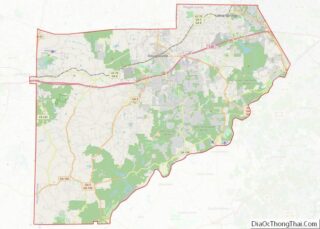
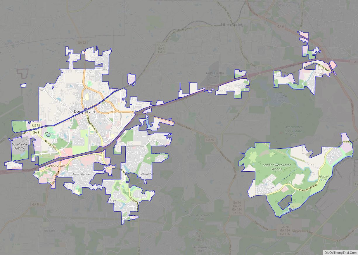
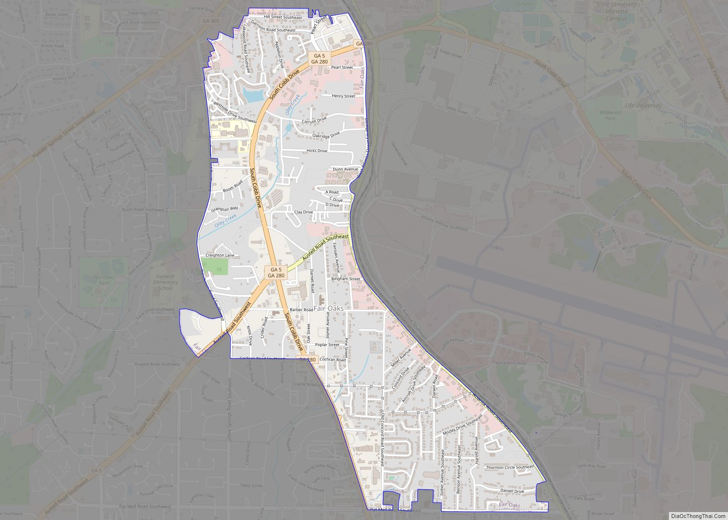
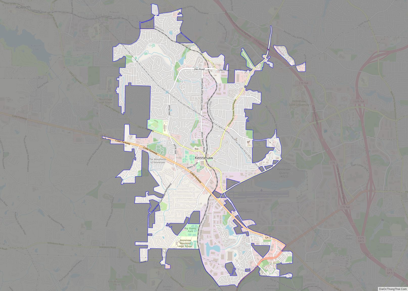
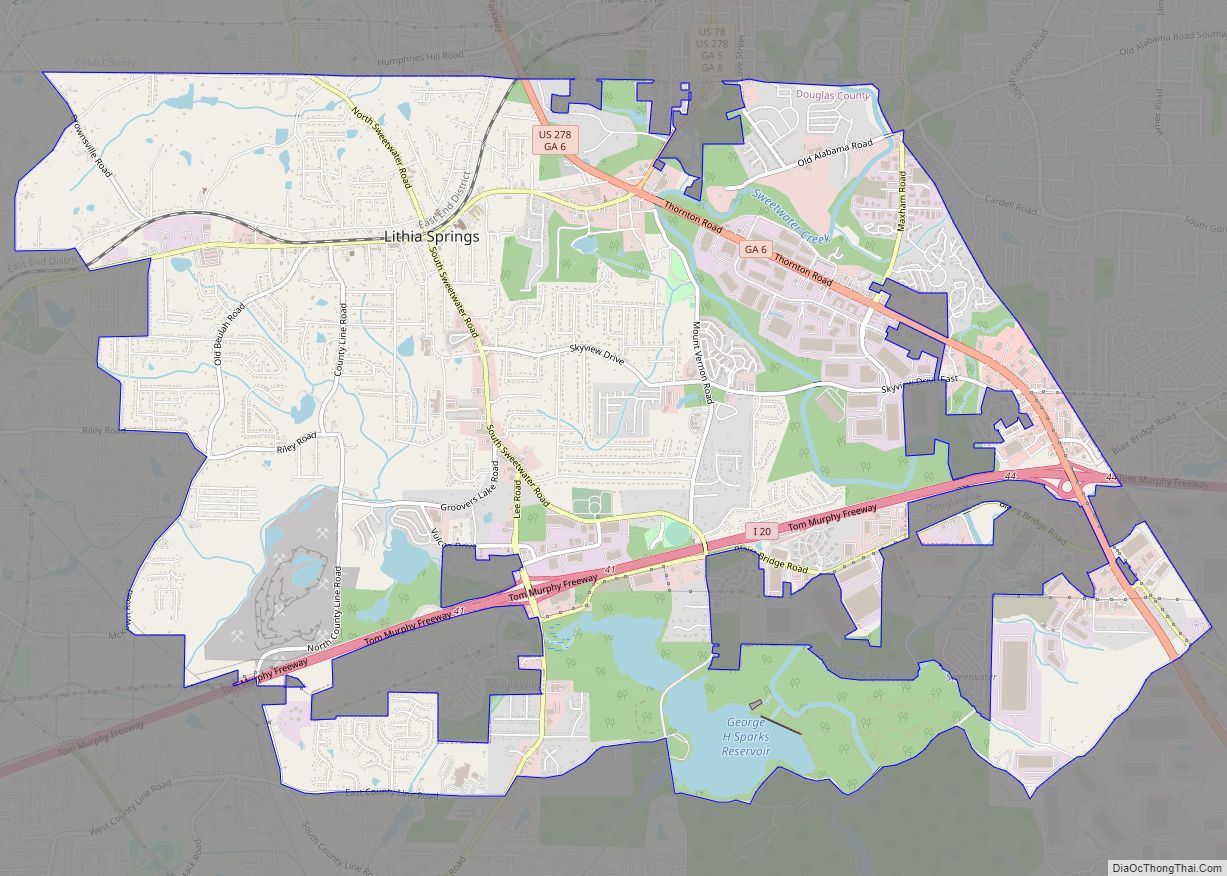
Online Interactive Map
Click on ![]() to view map in "full screen" mode.
to view map in "full screen" mode.
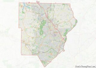
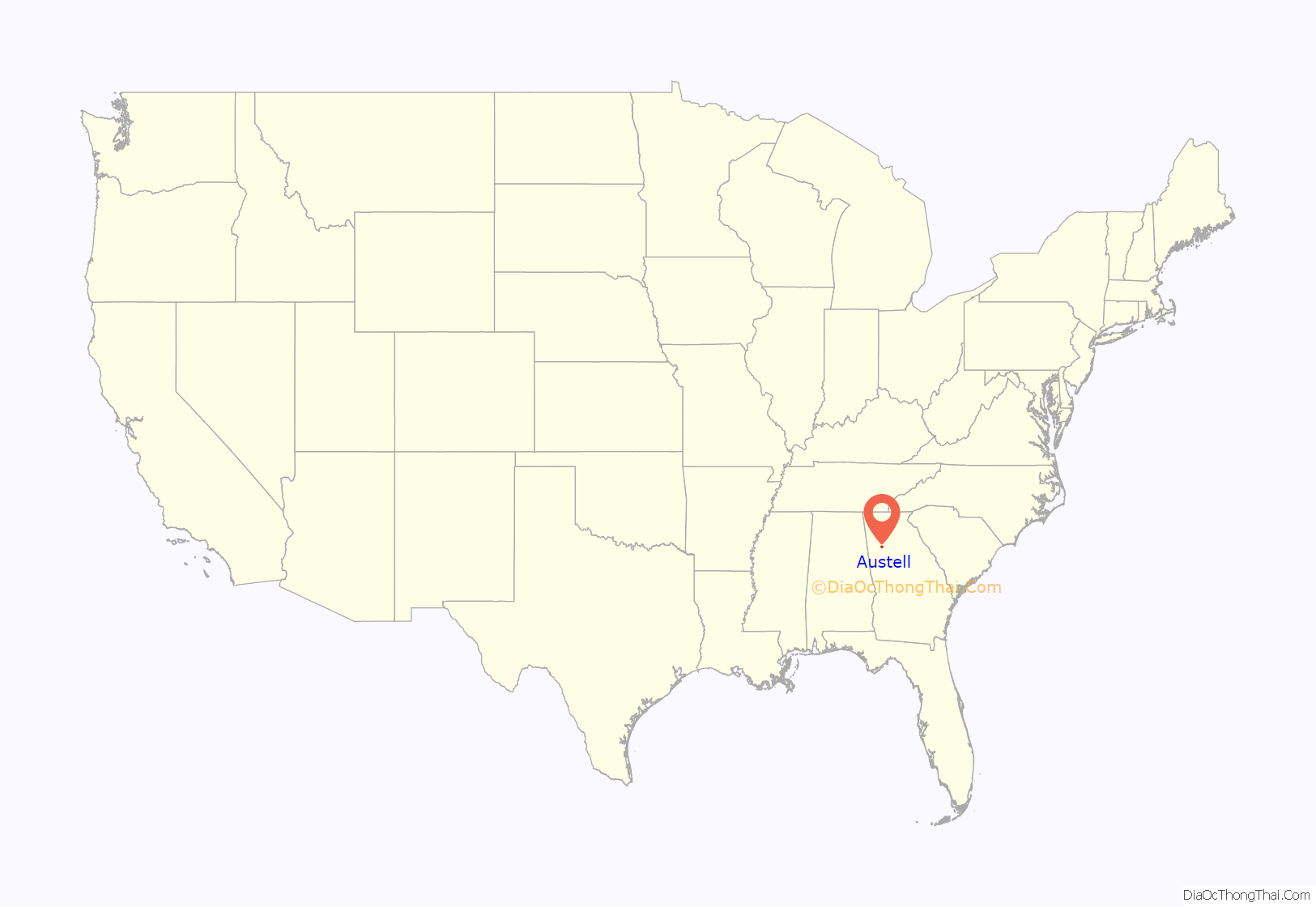
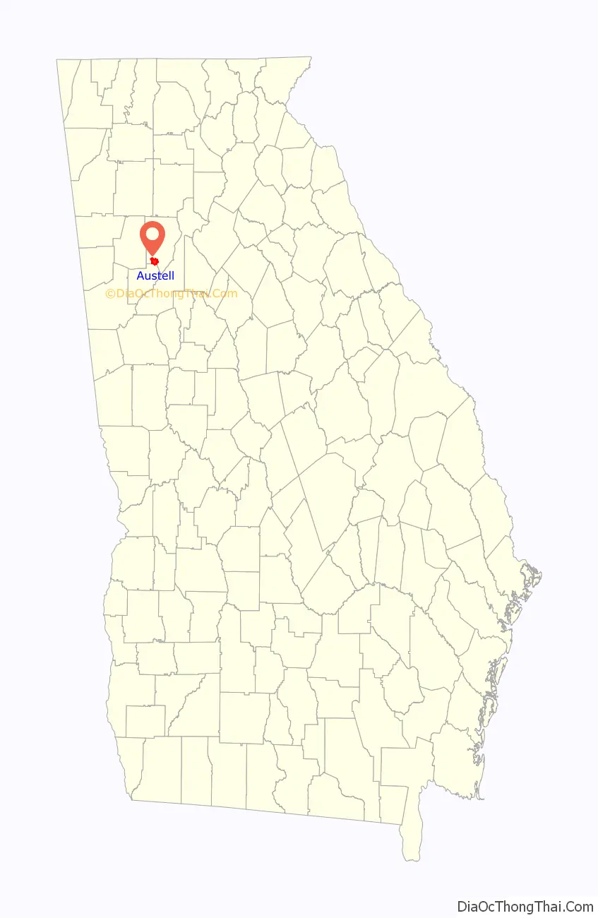
Austell location map. Where is Austell city?
History
The area that is now Austell was frequented by game hunters and trappers on their way to the area’s salt licks. These early visitors claimed the area’s waters had medicinal properties. It soon became a destination for therapeutic healing, leading to the founding of a town known as Salt Springs. As immigration increased and demand for land near the spring grew, G. O. Mozely donated and subdivided 40 acres (16 ha) of his land, enhancing the loose settlement with a street plan. Later, the spring was renamed Lithia Springs due to the water containing lithium carbonate, and the neighboring city of Lithia Springs was founded in 1882. In 1888, the lithia spring water was bottled and sold under the commercial name Bowden Lithia Spring Water. The historic lithia spring water is still bottled and sold under the name brand Lithia Spring Water. The Georgia Pacific Railway chose the town of Austell to be a station depot, being the dividing point for the major Birmingham and Chattanooga railway lines.
Austell was incorporated in 1885. The town is named for General Alfred Austell (1814–1881), in recognition of his efforts to bring major railways to the South. General Austell also founded the Atlanta National Bank (later renamed First Atlanta), which eventually became part of Wachovia and later Wells Fargo through various mergers and acquisitions. General Austell is buried in an elaborate Gothic Revival–style mausoleum at the highest point in Atlanta’s Oakland Cemetery.
In 2009, Sweetwater Creek flooded, destroying many homes and businesses in the Austell area.
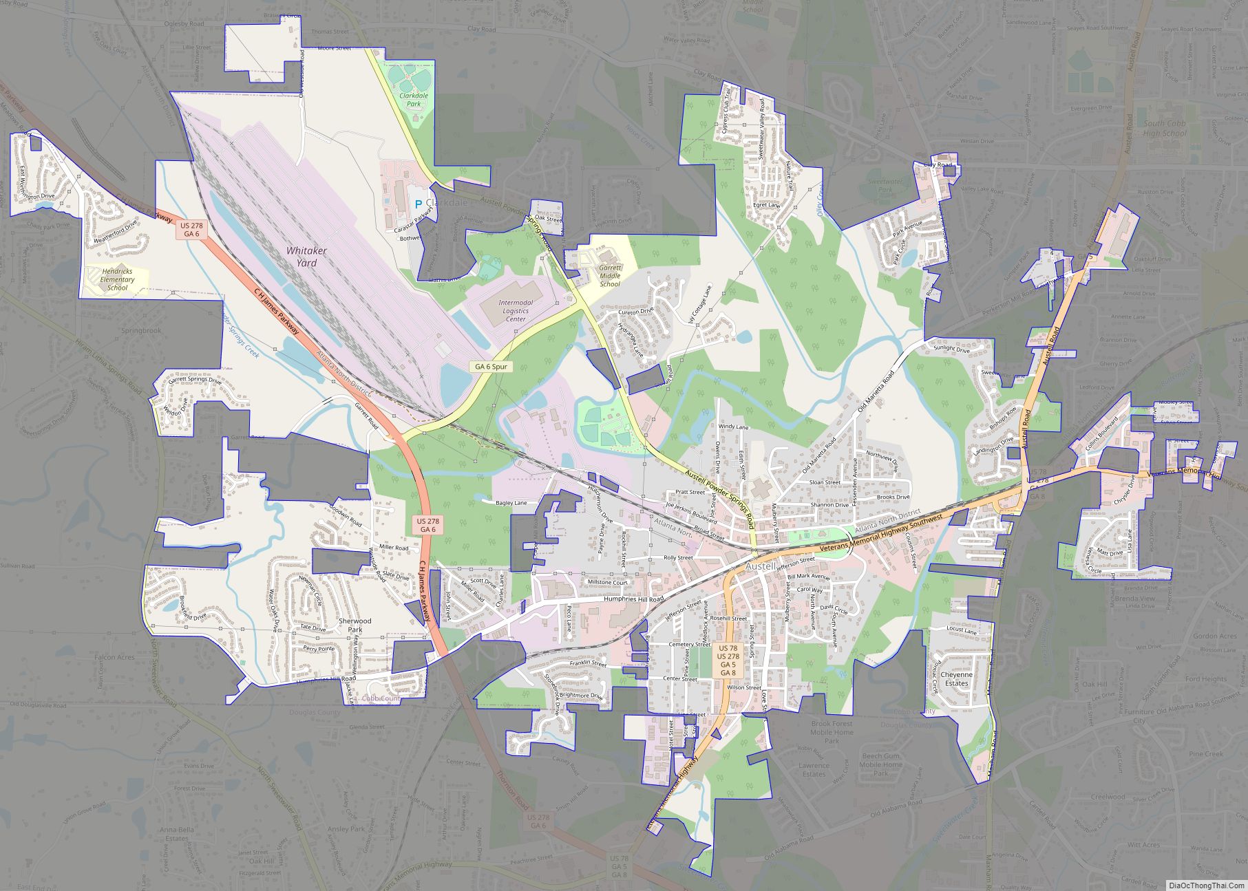
Austell Road Map

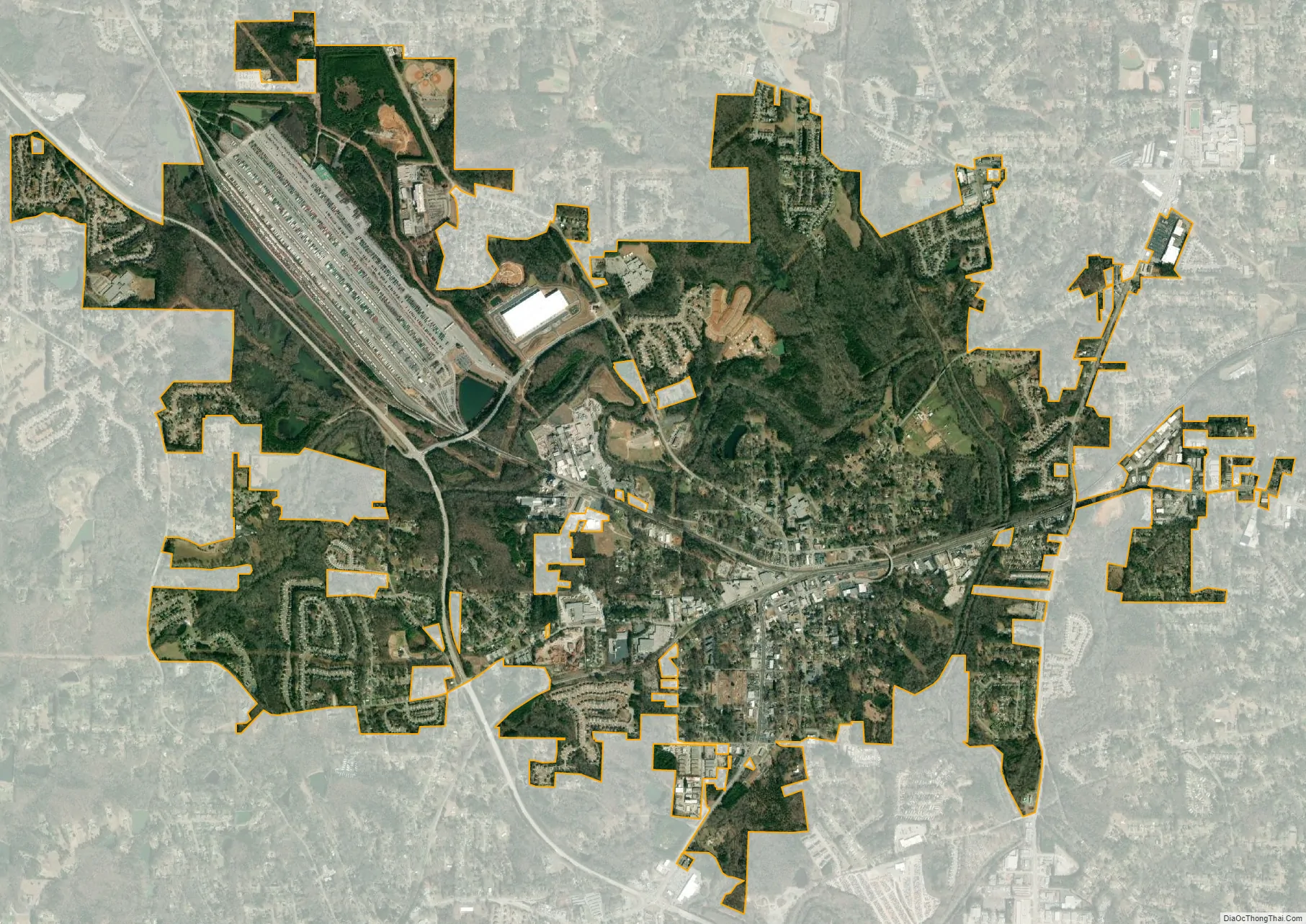
Austell city Satellite Map
Geography
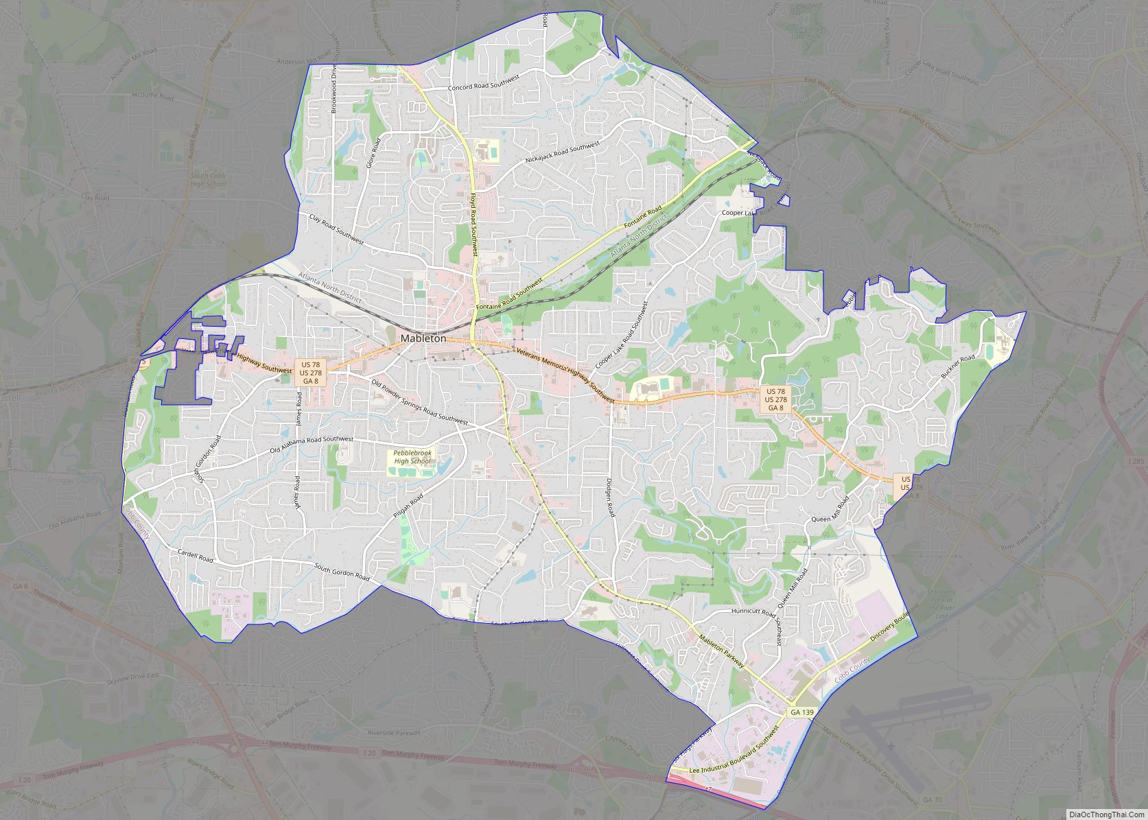
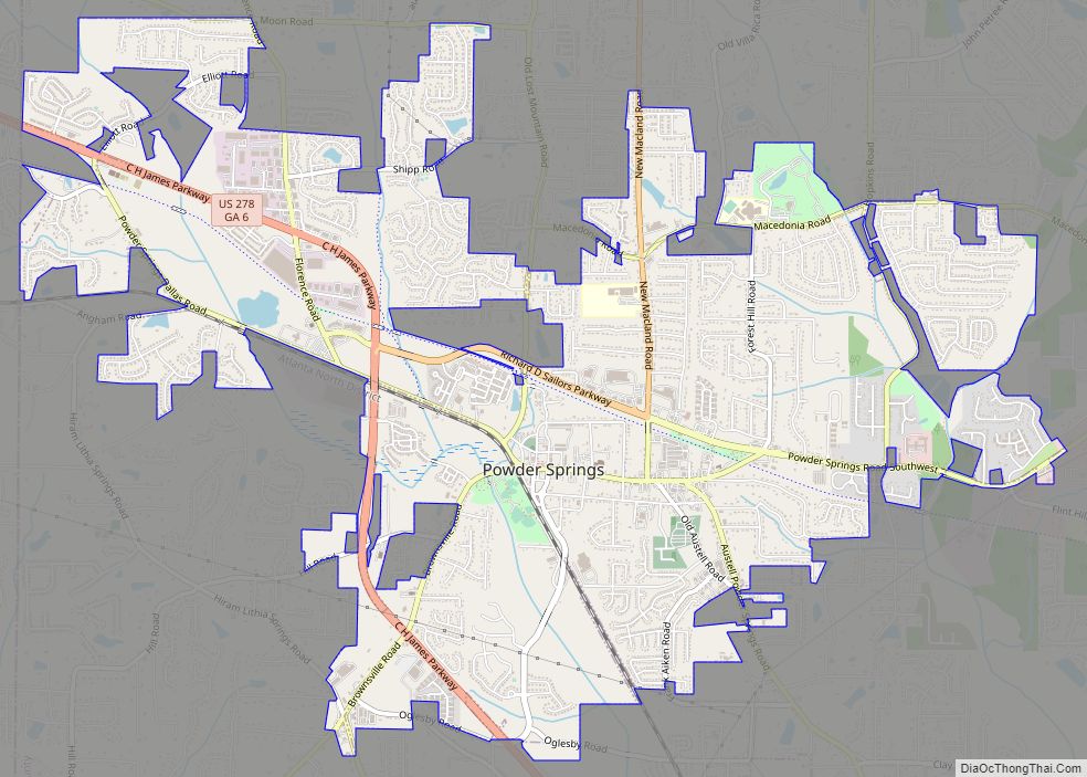
Austell is located along the southern border of Cobb County at 33°48′57″N 84°38′10″W / 33.81583°N 84.63611°W / 33.81583; -84.63611 (33.815905, −84.636242). A small portion of the city extends south into Douglas County. It is bordered by Lithia Springs to the south and Mableton to the east. The city of Powder Springs is 4 miles (6 km) to the northwest. U.S. Route 78 passes through the city, leading east 15 miles (24 km) to downtown Atlanta and west 8 miles (13 km) to Douglasville.
According to the United States Census Bureau, Austell has a total area of 6.0 square miles (15.5 km), of which 0.015 square miles (0.04 km), or 0.24%, is water.
Topography
Sweetwater Creek, a tributary of the Chattahoochee River, flows through the city, passing north, then east of the city center. The area is relatively flat, with few large hills.
Climate
According to the Köppen classification, Austell has a humid subtropical climate with hot, humid summers and mild, but occasionally cold winters by the standards of the southern United States. The city experiences four distinct seasons. Summers are hot and humid, with a July daily average of 89 °F (32 °C). In a normal summer it is not unusual for temperatures to exceed 90 °F (32 °C). Winters are mild, windy, with some warm, sunny days and occasional snow, with a January average high of 50 °F (10 °C) and low of 30 °F (−1 °C). Occasionally, high temperatures will struggle to reach 40 °F (4 °C), and nights can dip into the teens. Subzero temperatures are very uncommon and only occur once every decade or so.
See also
Map of Georgia State and its subdivision:- Appling
- Atkinson
- Bacon
- Baker
- Baldwin
- Banks
- Barrow
- Bartow
- Ben Hill
- Berrien
- Bibb
- Bleckley
- Brantley
- Brooks
- Bryan
- Bulloch
- Burke
- Butts
- Calhoun
- Camden
- Candler
- Carroll
- Catoosa
- Charlton
- Chatham
- Chattahoochee
- Chattooga
- Cherokee
- Clarke
- Clay
- Clayton
- Clinch
- Cobb
- Coffee
- Colquitt
- Columbia
- Cook
- Coweta
- Crawford
- Crisp
- Dade
- Dawson
- Decatur
- DeKalb
- Dodge
- Dooly
- Dougherty
- Douglas
- Early
- Echols
- Effingham
- Elbert
- Emanuel
- Evans
- Fannin
- Fayette
- Floyd
- Forsyth
- Franklin
- Fulton
- Gilmer
- Glascock
- Glynn
- Gordon
- Grady
- Greene
- Gwinnett
- Habersham
- Hall
- Hancock
- Haralson
- Harris
- Hart
- Heard
- Henry
- Houston
- Irwin
- Jackson
- Jasper
- Jeff Davis
- Jefferson
- Jenkins
- Johnson
- Jones
- Lamar
- Lanier
- Laurens
- Lee
- Liberty
- Lincoln
- Long
- Lowndes
- Lumpkin
- Macon
- Madison
- Marion
- McDuffie
- McIntosh
- Meriwether
- Miller
- Mitchell
- Monroe
- Montgomery
- Morgan
- Murray
- Muscogee
- Newton
- Oconee
- Oglethorpe
- Paulding
- Peach
- Pickens
- Pierce
- Pike
- Polk
- Pulaski
- Putnam
- Quitman
- Rabun
- Randolph
- Richmond
- Rockdale
- Schley
- Screven
- Seminole
- Spalding
- Stephens
- Stewart
- Sumter
- Talbot
- Taliaferro
- Tattnall
- Taylor
- Telfair
- Terrell
- Thomas
- Tift
- Toombs
- Towns
- Treutlen
- Troup
- Turner
- Twiggs
- Union
- Upson
- Walker
- Walton
- Ware
- Warren
- Washington
- Wayne
- Webster
- Wheeler
- White
- Whitfield
- Wilcox
- Wilkes
- Wilkinson
- Worth
- Alabama
- Alaska
- Arizona
- Arkansas
- California
- Colorado
- Connecticut
- Delaware
- District of Columbia
- Florida
- Georgia
- Hawaii
- Idaho
- Illinois
- Indiana
- Iowa
- Kansas
- Kentucky
- Louisiana
- Maine
- Maryland
- Massachusetts
- Michigan
- Minnesota
- Mississippi
- Missouri
- Montana
- Nebraska
- Nevada
- New Hampshire
- New Jersey
- New Mexico
- New York
- North Carolina
- North Dakota
- Ohio
- Oklahoma
- Oregon
- Pennsylvania
- Rhode Island
- South Carolina
- South Dakota
- Tennessee
- Texas
- Utah
- Vermont
- Virginia
- Washington
- West Virginia
- Wisconsin
- Wyoming