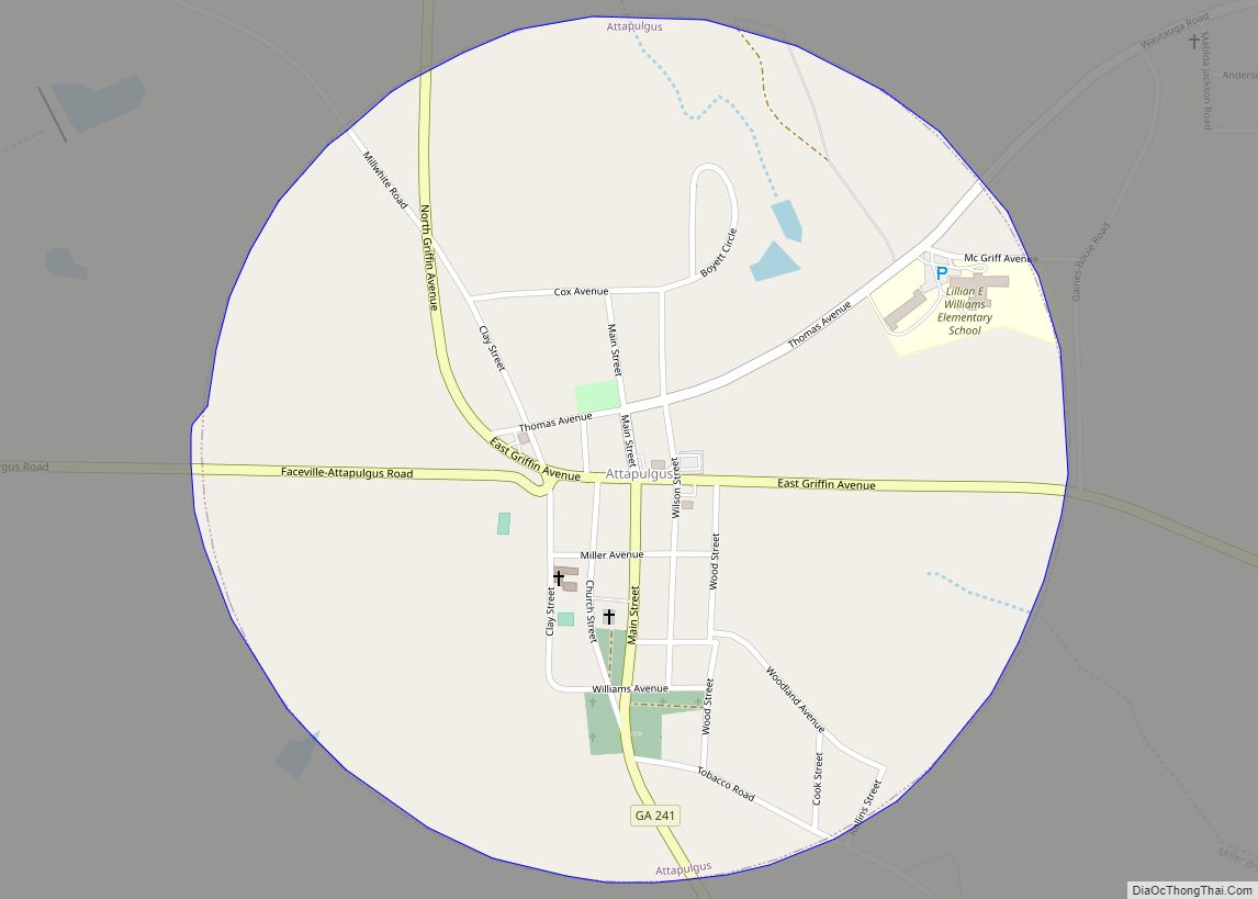
Attapulgus is a city in Decatur County, Georgia, United States. As of the 2020 census, the city had a population of 454. The town’s name is an Indian word meaning “Dogwood”; due to the abundance of attapulgite, which makes up the clay soil throughout much of the Southeast, the mineral was named after the town. ... Read more
Georgia Cities and Places
Avondale Estates is a city in DeKalb County, Georgia, United States. The population was 2,960 at the 2010 census. It is part of the Atlanta metropolitan area and is near Decatur. Avondale Estates city overview: Name: Avondale Estates city LSAD Code: 25 LSAD Description: city (suffix) State: Georgia County: DeKalb County Elevation: 1,027 ft (313 m) Total ... Read more
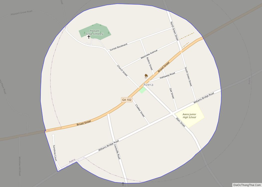
Avera is a city in Jefferson County, Georgia, United States. As of the 2020 census, the city had a population of 223. The city was incorporated in 1900. Avera city overview: Name: Avera city LSAD Code: 25 LSAD Description: city (suffix) State: Georgia County: Jefferson County Elevation: 446 ft (136 m) Total Area: 0.65 sq mi (1.68 km²) Land Area: ... Read more
Avalon is a town in Stephens County, Georgia, United States. As of the 2020 census, the city had a population of 233. Avalon was named for the Arthurian island of paradise. It was founded in 1882 by Richard Dempsey Yow, and incorporated in 1909. Yow and two brothers started a successful mercantile business there. Although ... Read more
Baldwin is a city in Banks and Habersham counties in the U.S. state of Georgia. As of the 2010 census, the city had a population of 3,279, up from 2,425 at the 2000 census. Baldwin is located on U.S. Route 441 just south of Georgia State Route 365. Baldwin sits astride the Eastern Continental Divide, ... Read more
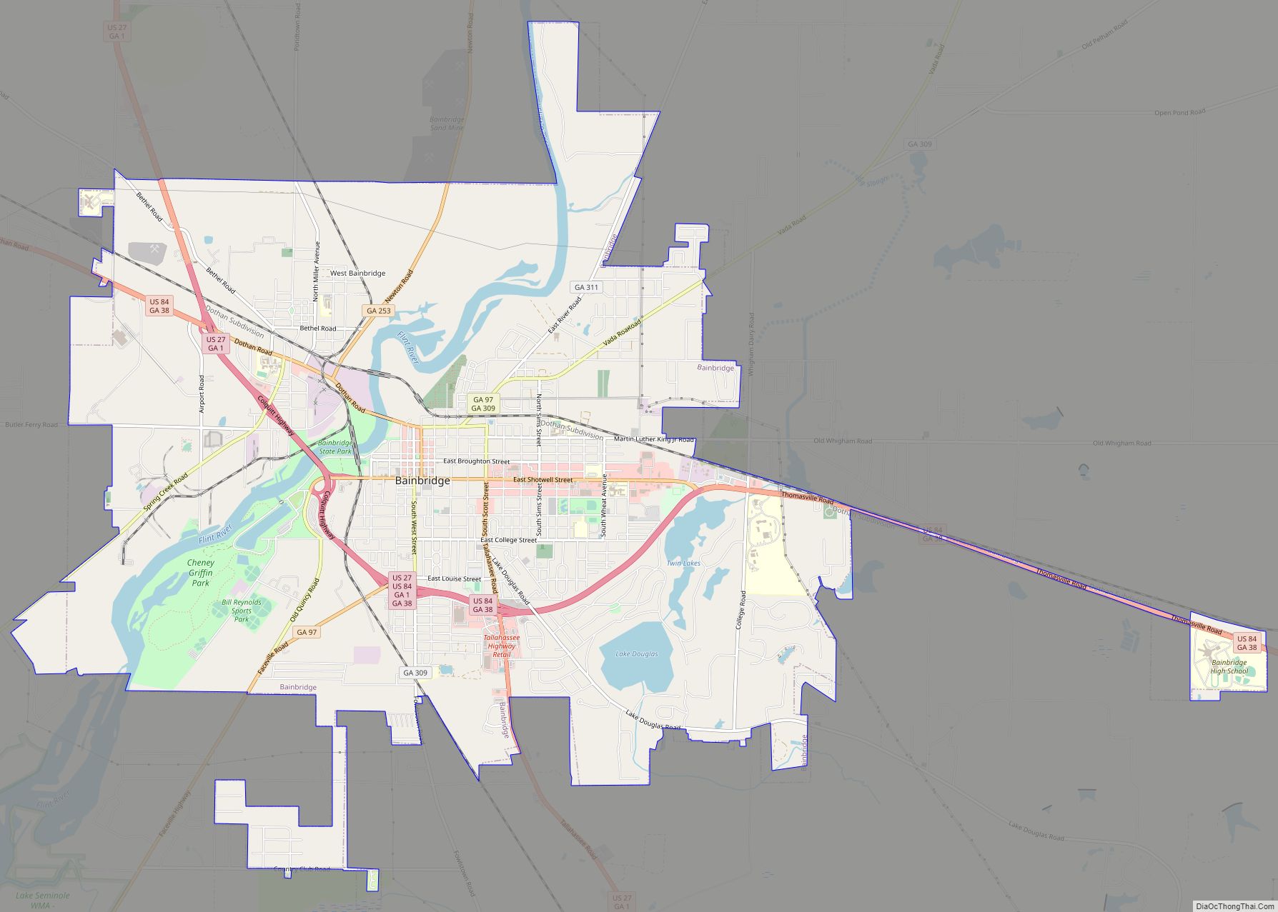
Bainbridge is a city in Decatur County, Georgia, United States. The city is the county seat of Decatur County. As of the 2020 census, the city had a population of 14,468. Bainbridge city overview: Name: Bainbridge city LSAD Code: 25 LSAD Description: city (suffix) State: Georgia County: Decatur County Elevation: 121 ft (37 m) Land Area: 19.78 sq mi ... Read more
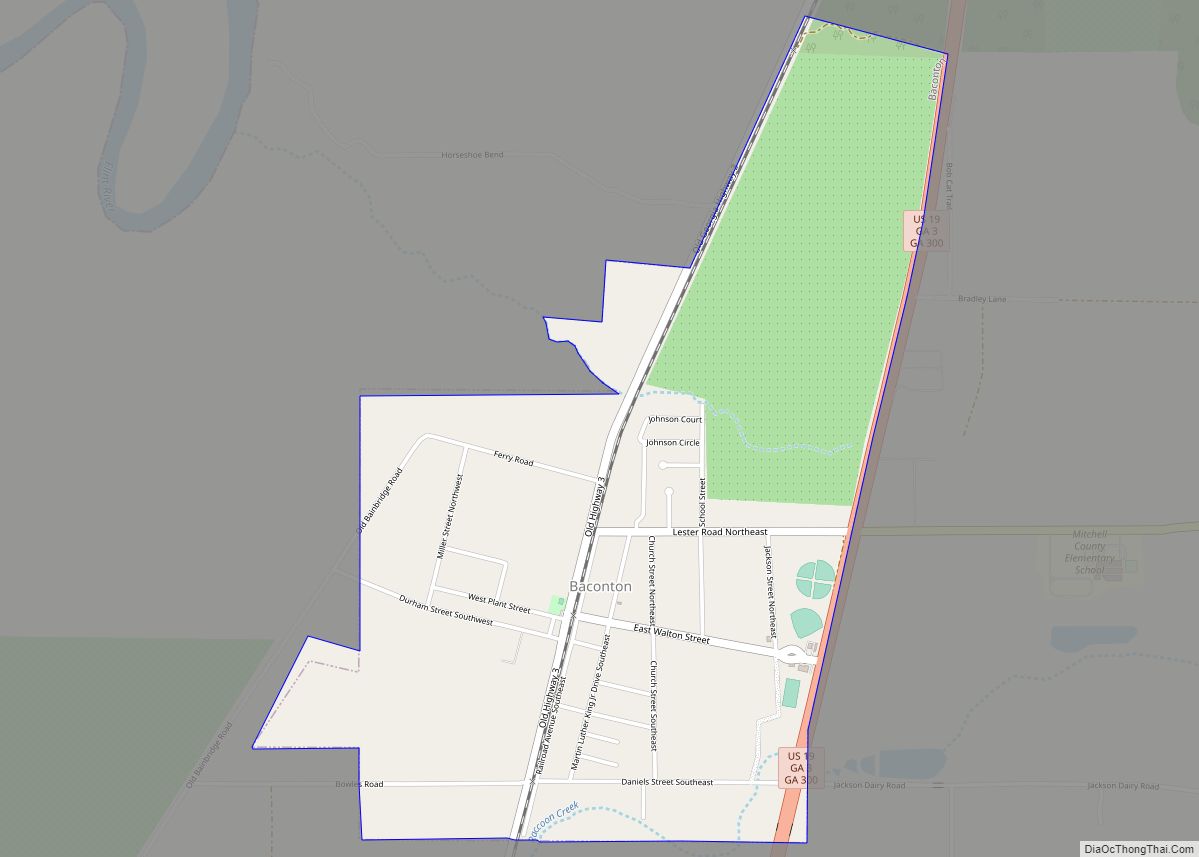
Baconton is a city in Mitchell County, Georgia, United States. As of the 2020 census, the city had a population of 856, down from 915 in 2010. Baconton city overview: Name: Baconton city LSAD Code: 25 LSAD Description: city (suffix) State: Georgia County: Mitchell County Elevation: 174 ft (53 m) Total Area: 1.95 sq mi (5.05 km²) Land Area: 1.95 sq mi ... Read more
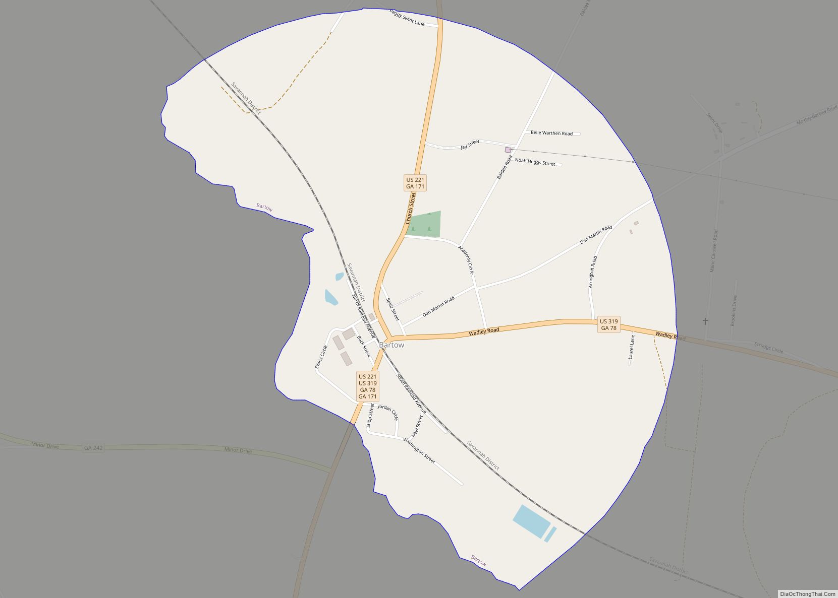
Bartow is a town in Jefferson County, Georgia, United States. As of the 2020 census, the city had a population of 186. Initially the town was known as “Spier’s Turnout”, but was changed to honor the first Confederate officer to die in battle, Colonel Francis S. Bartow of Savannah, Georgia, who was killed at the ... Read more
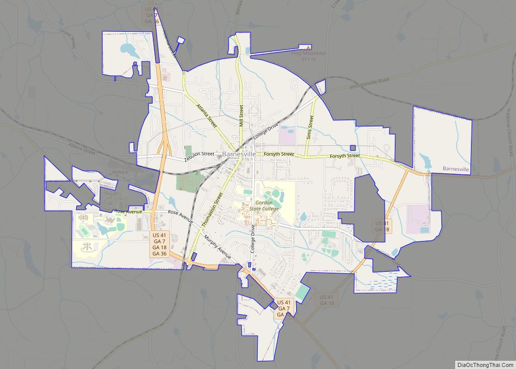
Barnesville is a city in Lamar County, Georgia, United States. As of the 2010 census, the city had a population of 6,755, up from 5,972 at the 2000 census. The city is the county seat of Lamar County and is part of the Atlanta metropolitan area. Barnesville is located 37 miles northwest of Macon and ... Read more
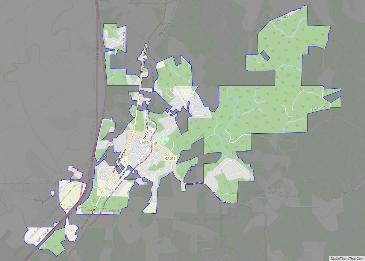
Ball Ground is a city in Cherokee County, Georgia, United States. The city was originally Cherokee territory before they were removed from the land and it was given to white settlers. A railroad was built in 1882 and a town was formed around the resulting railroad stop. The town was incorporated on January 1, 1883, ... Read more
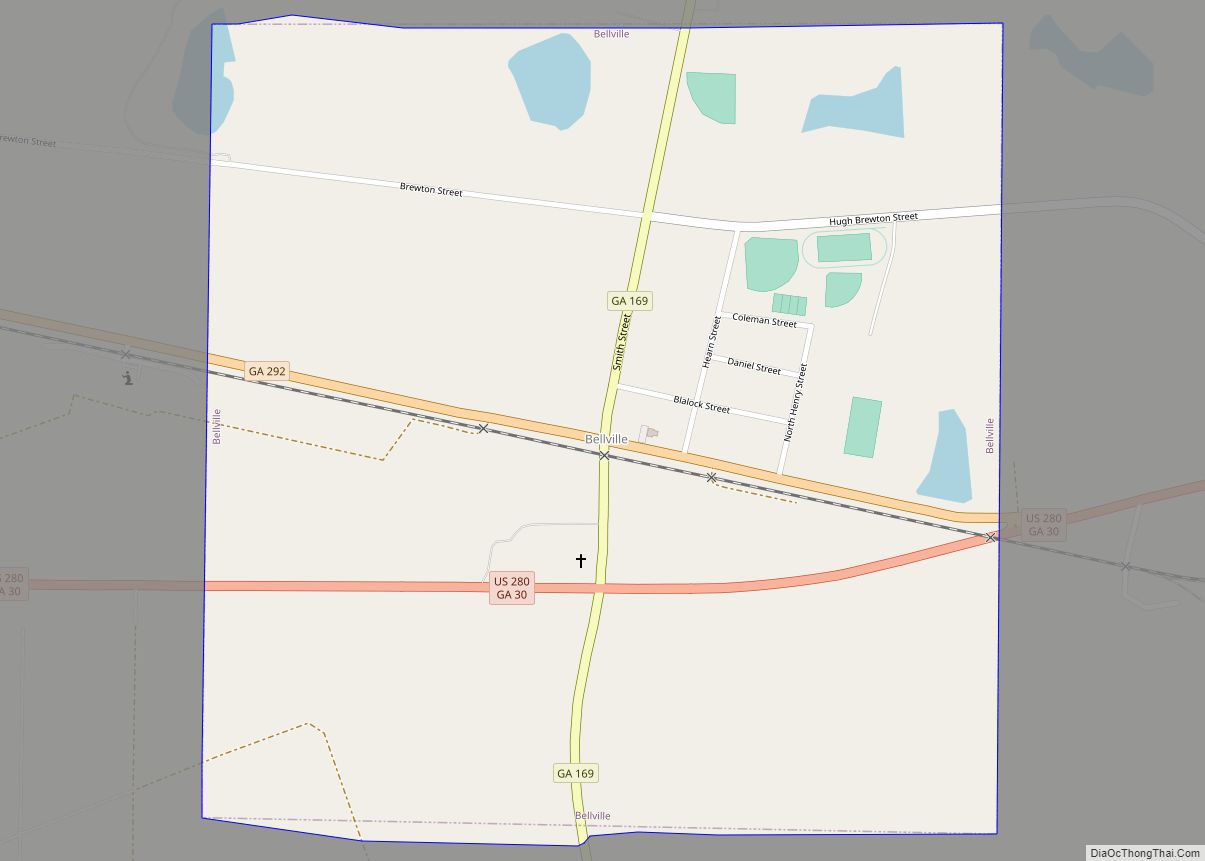
Bellville is a city in Evans County, Georgia, United States. As of the 2020 census, the city had a population of 127. It is the hometown of film director James Kicklighter [1]. Bellville city overview: Name: Bellville city LSAD Code: 25 LSAD Description: city (suffix) State: Georgia County: Evans County Elevation: 184 ft (56 m) Total Area: ... Read more
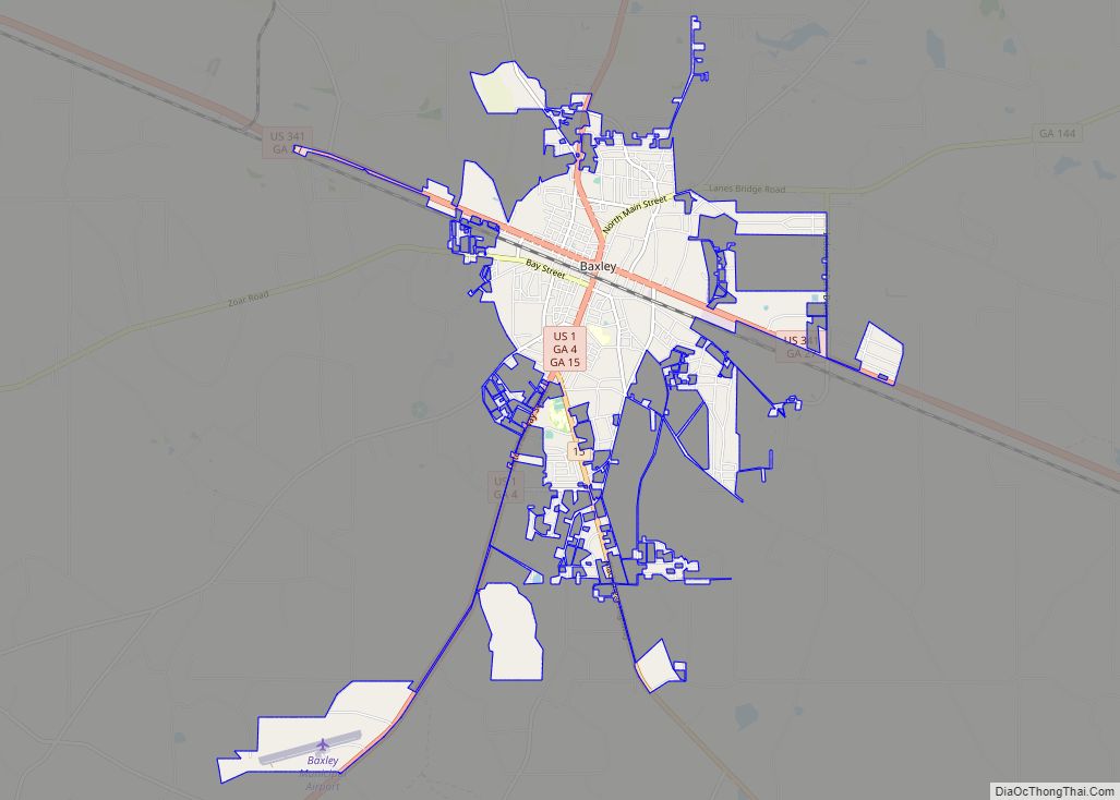
Baxley is a city in Appling County, Georgia, United States. As of the 2020 census, the city had a population of 4,942. The city is the county seat of Appling County. Baxley city overview: Name: Baxley city LSAD Code: 25 LSAD Description: city (suffix) State: Georgia County: Appling County Elevation: 203 ft (62 m) Total Area: 8.11 sq mi ... Read more
