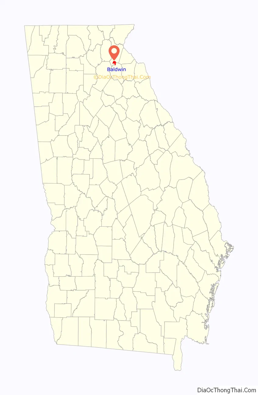
Baldwin is a city in Banks and Habersham counties in the U.S. state of Georgia. As of the 2010 census, the city had a population of 3,279, up from 2,425 at the 2000 census.
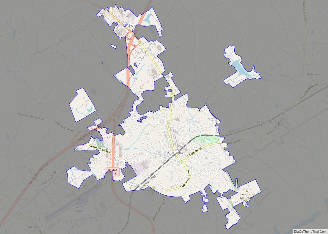
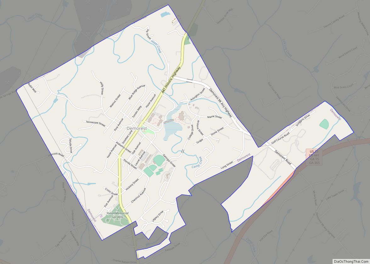
Baldwin is located on U.S. Route 441 just south of Georgia State Route 365. Baldwin sits astride the Eastern Continental Divide, which separates waters flowing southeastward toward the Savannah River and the Atlantic Ocean from waters flowing southwestward toward the Chattahoochee River and the Gulf of Mexico. City Hall sits in Habersham County. Baldwin borders the slightly larger city of Cornelia, which houses the Habersham Chamber of Commerce. Nearby in Demorest is Piedmont University. Also nearby is Lake Russell, a recreation area in Chattahoochee National Forest. The Habersham County airport is in Baldwin. The largest employer is Fieldale Corporation, a chicken processing company.
| Name: | Baldwin city |
|---|---|
| LSAD Code: | 25 |
| LSAD Description: | city (suffix) |
| State: | Georgia |
| County: | Banks County, Habersham County |
| Elevation: | 1,490 ft (450 m) |
| Total Area: | 5.04 sq mi (13.05 km²) |
| Land Area: | 5.03 sq mi (13.02 km²) |
| Water Area: | 0.01 sq mi (0.03 km²) |
| Total Population: | 3,629 |
| Population Density: | 721.76/sq mi (278.68/km²) |
| ZIP code: | 30511 |
| Area code: | 706 |
| FIPS code: | 1304980 |
| GNISfeature ID: | 2403149 |
| Website: | www.cityofbaldwin.org |
Online Interactive Map
Click on ![]() to view map in "full screen" mode.
to view map in "full screen" mode.
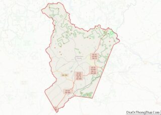
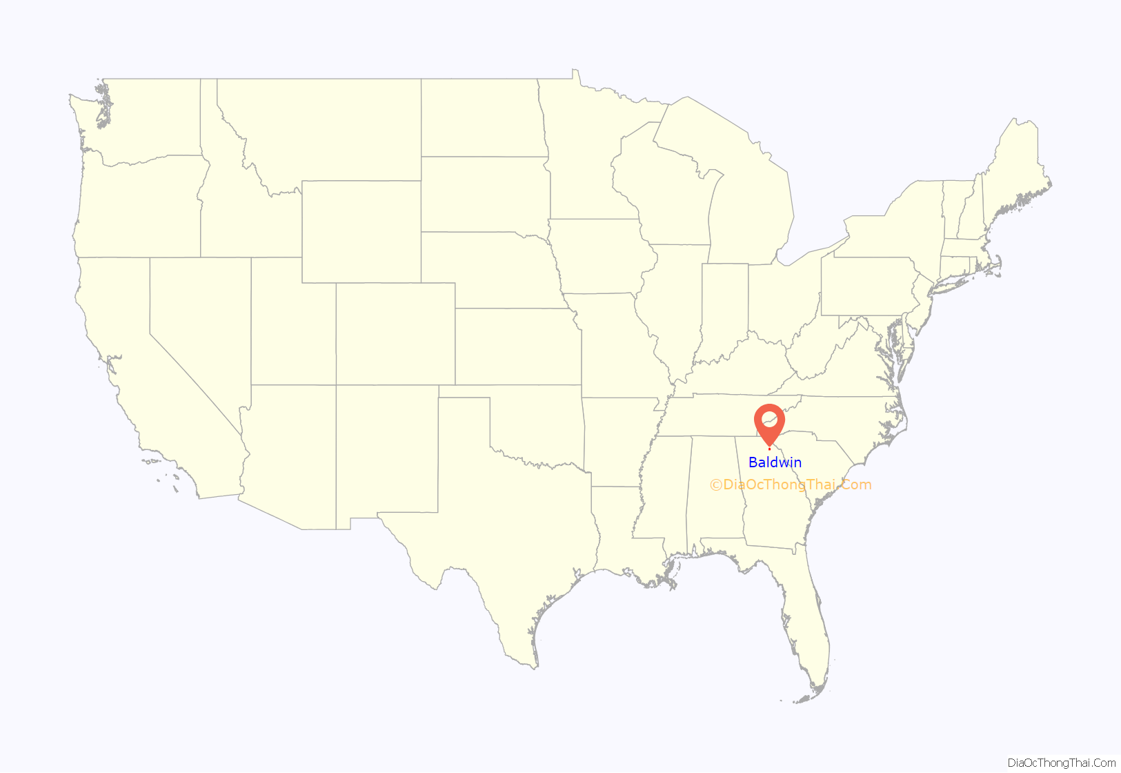
Baldwin location map. Where is Baldwin city?
History
Baldwin was incorporated by an act of the Georgia General Assembly on December 17, 1896. The city was named in honor of Joseph A. Baldwin, a railroad official.
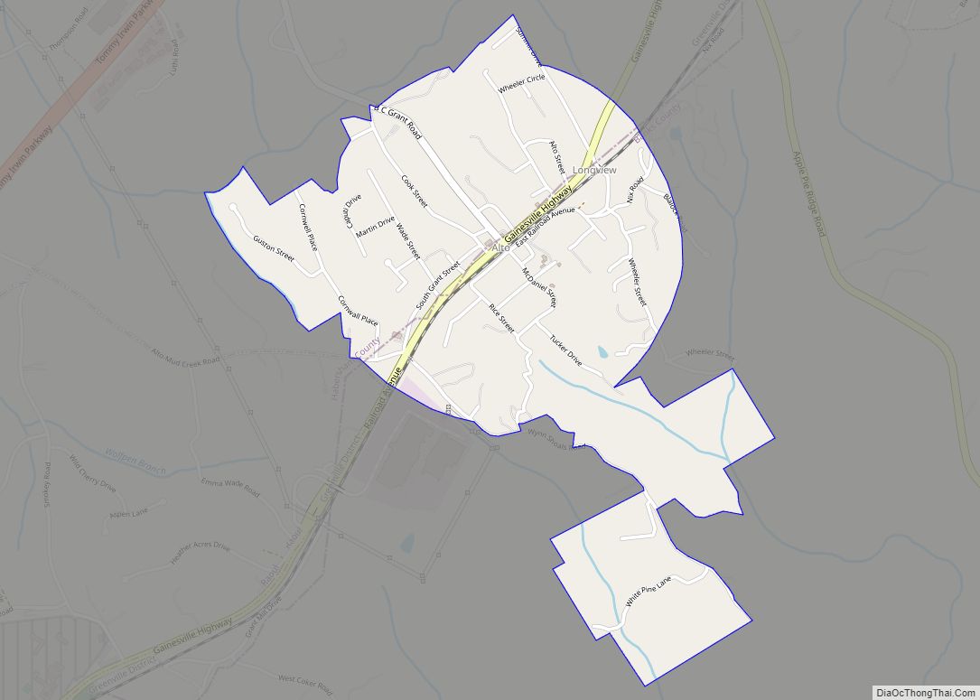
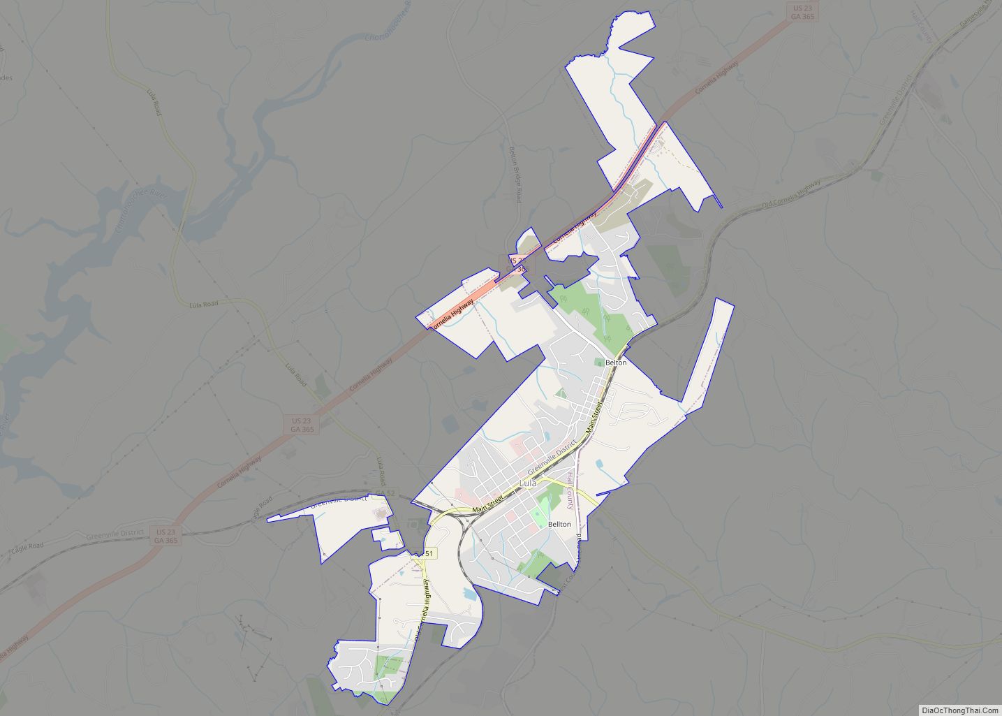
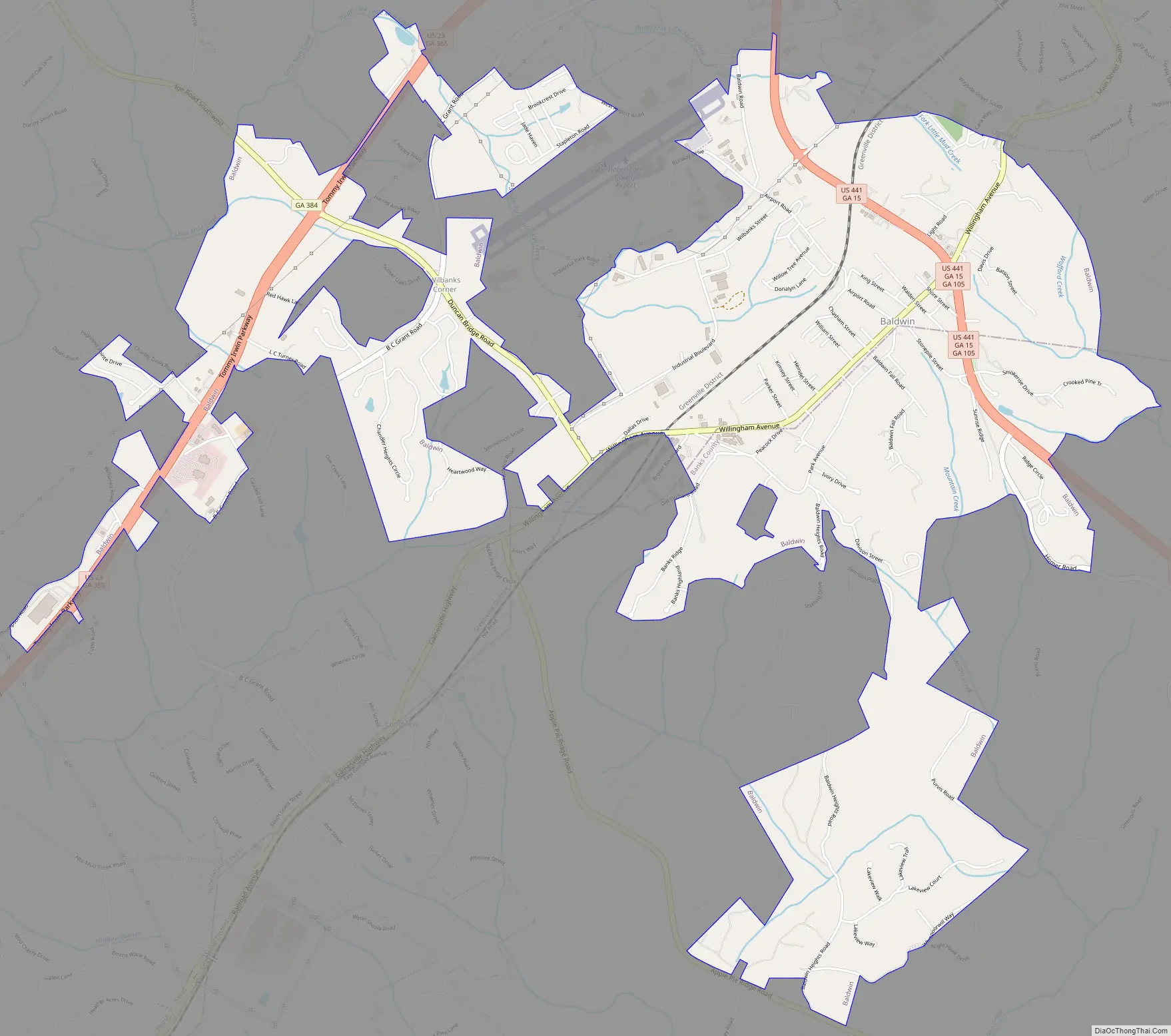
Baldwin Road Map
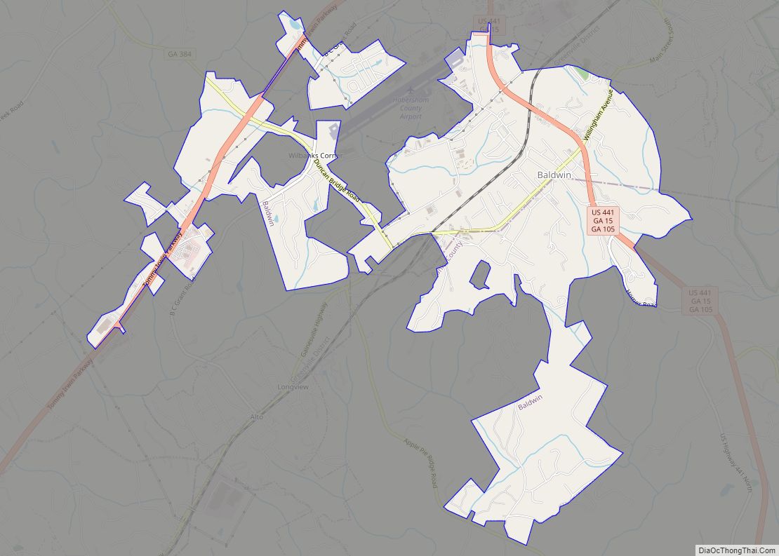
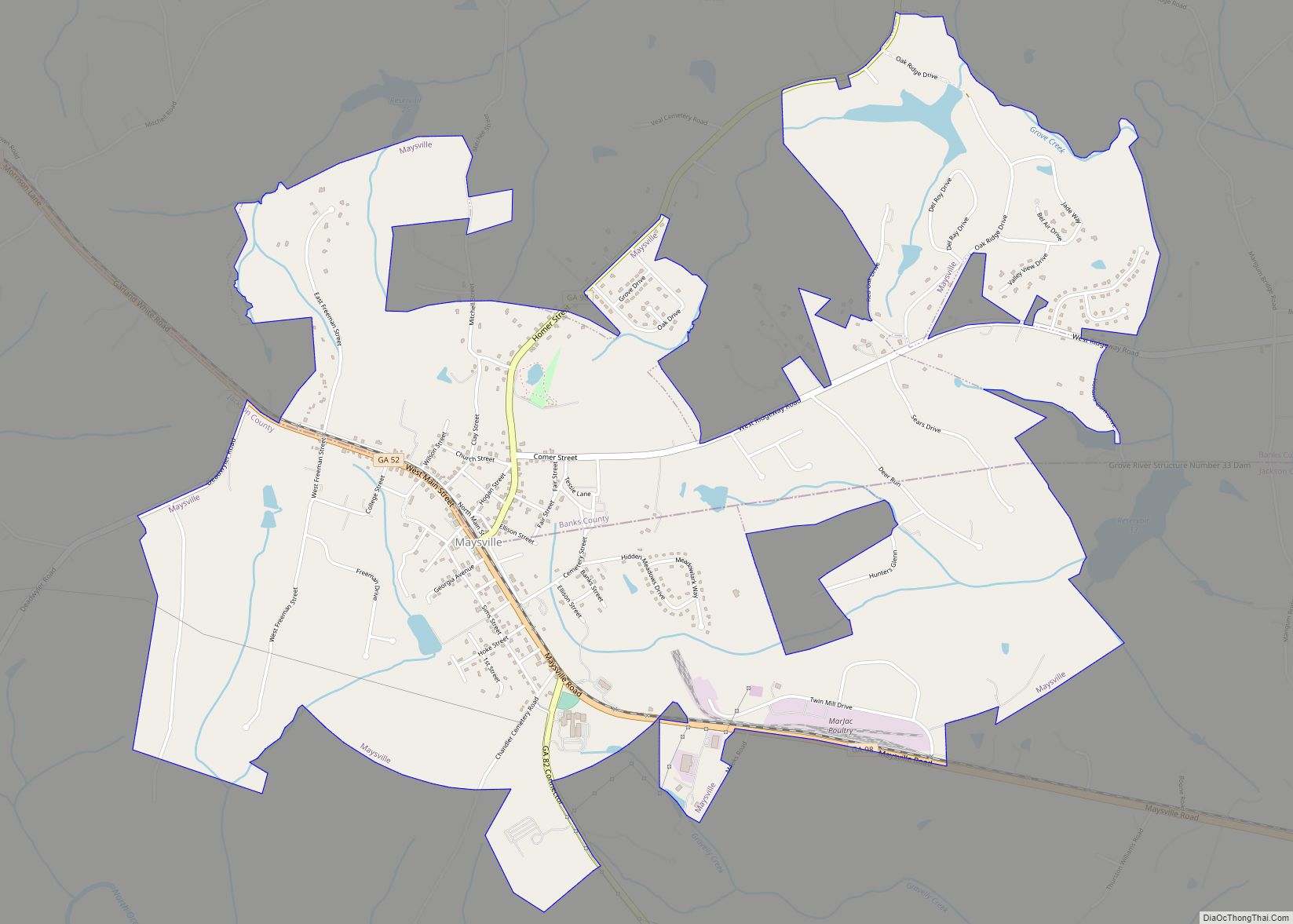
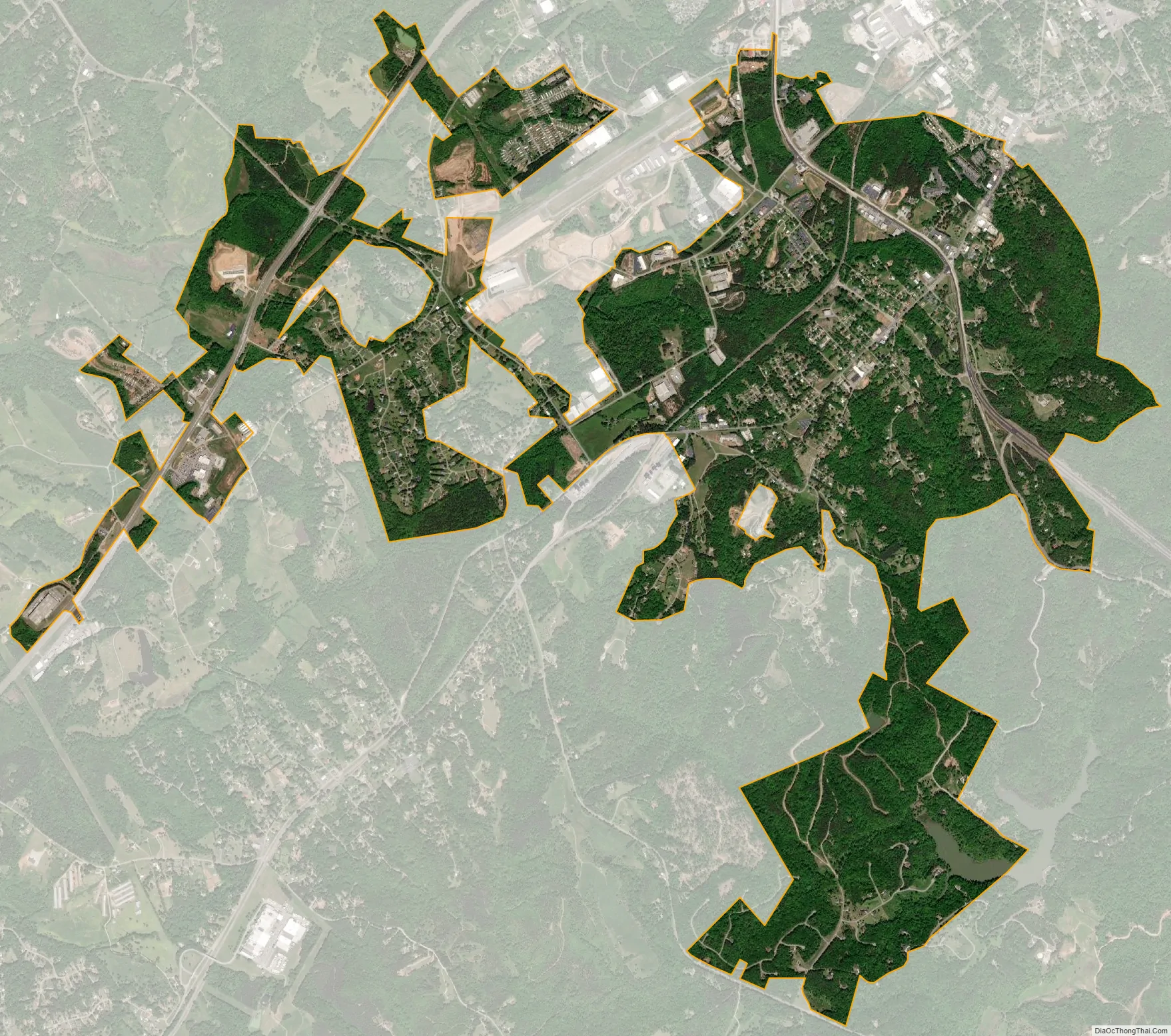
Baldwin city Satellite Map
Geography
Baldwin is located in northeastern Georgia and is split between Banks and Habersham County. It is located along two major arterial routes: U.S. Highway 441 and U.S. Highway 23/Georgia State Highway 365, both of which are divided four-lane highways. Highway 23/365 becomes Interstate 985 in Gainesville, 17 miles (27 km) southwest of the Baldwin limits.
According to the United States Census Bureau, the city has a total area of 4.9 square miles (12.7 km), all land.
Baldwin is home to the Habersham County Airport, located on the north side of town. The airport offers a 5,500-foot (1,700 m) paved runway at 1,447 feet (441 m) above sea level. It serves as the gateway airport to the Georgia mountains with its central location in the foothills of the Blue Ridge Mountains.
See also
Map of Georgia State and its subdivision:- Appling
- Atkinson
- Bacon
- Baker
- Baldwin
- Banks
- Barrow
- Bartow
- Ben Hill
- Berrien
- Bibb
- Bleckley
- Brantley
- Brooks
- Bryan
- Bulloch
- Burke
- Butts
- Calhoun
- Camden
- Candler
- Carroll
- Catoosa
- Charlton
- Chatham
- Chattahoochee
- Chattooga
- Cherokee
- Clarke
- Clay
- Clayton
- Clinch
- Cobb
- Coffee
- Colquitt
- Columbia
- Cook
- Coweta
- Crawford
- Crisp
- Dade
- Dawson
- Decatur
- DeKalb
- Dodge
- Dooly
- Dougherty
- Douglas
- Early
- Echols
- Effingham
- Elbert
- Emanuel
- Evans
- Fannin
- Fayette
- Floyd
- Forsyth
- Franklin
- Fulton
- Gilmer
- Glascock
- Glynn
- Gordon
- Grady
- Greene
- Gwinnett
- Habersham
- Hall
- Hancock
- Haralson
- Harris
- Hart
- Heard
- Henry
- Houston
- Irwin
- Jackson
- Jasper
- Jeff Davis
- Jefferson
- Jenkins
- Johnson
- Jones
- Lamar
- Lanier
- Laurens
- Lee
- Liberty
- Lincoln
- Long
- Lowndes
- Lumpkin
- Macon
- Madison
- Marion
- McDuffie
- McIntosh
- Meriwether
- Miller
- Mitchell
- Monroe
- Montgomery
- Morgan
- Murray
- Muscogee
- Newton
- Oconee
- Oglethorpe
- Paulding
- Peach
- Pickens
- Pierce
- Pike
- Polk
- Pulaski
- Putnam
- Quitman
- Rabun
- Randolph
- Richmond
- Rockdale
- Schley
- Screven
- Seminole
- Spalding
- Stephens
- Stewart
- Sumter
- Talbot
- Taliaferro
- Tattnall
- Taylor
- Telfair
- Terrell
- Thomas
- Tift
- Toombs
- Towns
- Treutlen
- Troup
- Turner
- Twiggs
- Union
- Upson
- Walker
- Walton
- Ware
- Warren
- Washington
- Wayne
- Webster
- Wheeler
- White
- Whitfield
- Wilcox
- Wilkes
- Wilkinson
- Worth
- Alabama
- Alaska
- Arizona
- Arkansas
- California
- Colorado
- Connecticut
- Delaware
- District of Columbia
- Florida
- Georgia
- Hawaii
- Idaho
- Illinois
- Indiana
- Iowa
- Kansas
- Kentucky
- Louisiana
- Maine
- Maryland
- Massachusetts
- Michigan
- Minnesota
- Mississippi
- Missouri
- Montana
- Nebraska
- Nevada
- New Hampshire
- New Jersey
- New Mexico
- New York
- North Carolina
- North Dakota
- Ohio
- Oklahoma
- Oregon
- Pennsylvania
- Rhode Island
- South Carolina
- South Dakota
- Tennessee
- Texas
- Utah
- Vermont
- Virginia
- Washington
- West Virginia
- Wisconsin
- Wyoming