Barnesville is a city in Lamar County, Georgia, United States. As of the 2010 census, the city had a population of 6,755, up from 5,972 at the 2000 census. The city is the county seat of Lamar County and is part of the Atlanta metropolitan area.
Barnesville is located 37 miles northwest of Macon and 60 miles south of Atlanta.
Barnesville was once dubbed the “Buggy Capital of the South”, as the town produced about 9,000 buggies a year around the turn of the 20th century. Each year in the third week of September the town hosts an annual Buggy Days celebration.
| Name: | Barnesville city |
|---|---|
| LSAD Code: | 25 |
| LSAD Description: | city (suffix) |
| State: | Georgia |
| County: | Lamar County |
| Elevation: | 850 ft (259 m) |
| Total Area: | 6.12 sq mi (15.86 km²) |
| Land Area: | 6.07 sq mi (15.73 km²) |
| Water Area: | 0.05 sq mi (0.12 km²) |
| Total Population: | 6,292 |
| Population Density: | 1,035.89/sq mi (399.95/km²) |
| ZIP code: | 30204 |
| Area code: | 770 |
| FIPS code: | 1305344 |
| GNISfeature ID: | 0331094 |
| Website: | www.cityofbarnesville.com |
Online Interactive Map
Click on ![]() to view map in "full screen" mode.
to view map in "full screen" mode.
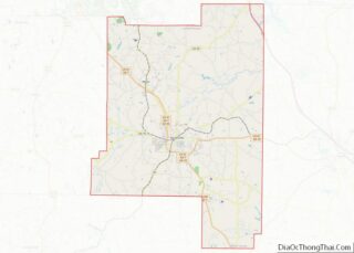
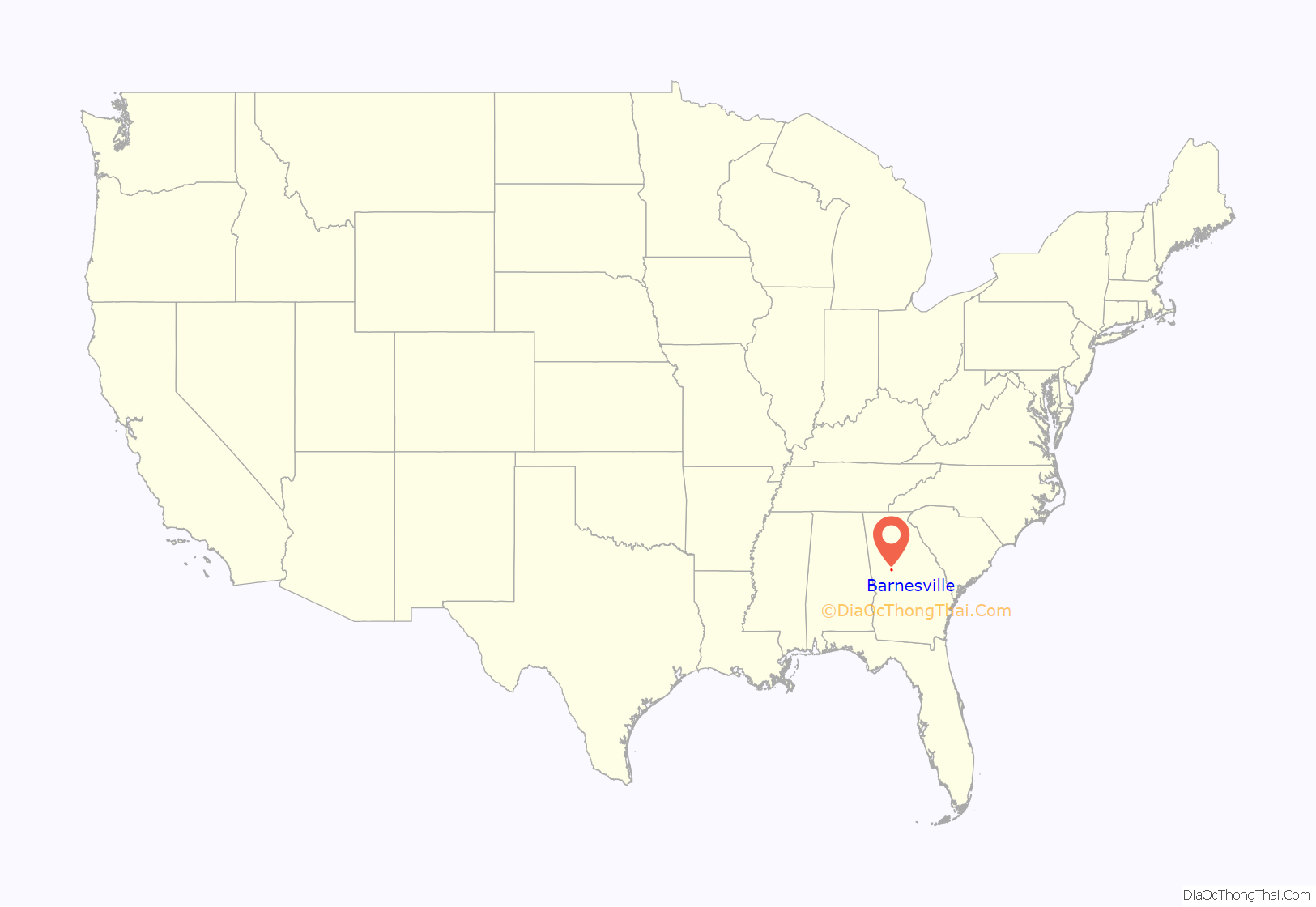
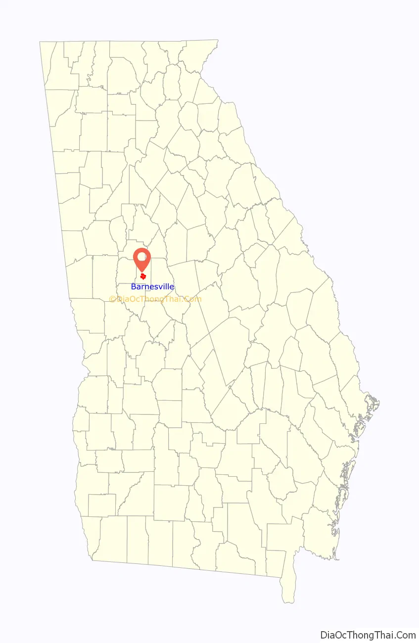
Barnesville location map. Where is Barnesville city?
History
Barnesville was founded in 1826 and named for Gideon Barnes, proprietor of a local tavern. In 1920, Barnesville was designated seat of the newly formed Lamar County.
Barnesville served as a major hospital site for wounded southern troops during the Civil War. Local families took wounded soldiers into their homes and treated them, with highly successful recovery rates. Major General William B. Bate, CSA of Hardees Corps., wounded in Atlanta at Utoy Creek on August 10, 1864, was treated here. After the war, General Bate was elected governor of Tennessee and served in the United States Senate until his death in 1912. He commented on his successful recovery as a result of the kindness of the local populace in Barnesville.
Notable weather events
On the morning of April 28, 2011, at 12:38 A.M., a tornado rated EF3 on the Enhanced Fujita Scale with 140 miles per hour (230 km/h) winds touched down in Pike County, 4 miles (6 km) south of Meansville. The tornado went on to destroy several homes in Barnesville. Two deaths occurred in Barnesville along Grove Street. The tornado also destroyed a Chevron gas station and a church in Barnesville. Three tractor trailers were blown off Interstate 75 at approximately 1:02 A.M. This tornado was part of the 2011 Super Outbreak.
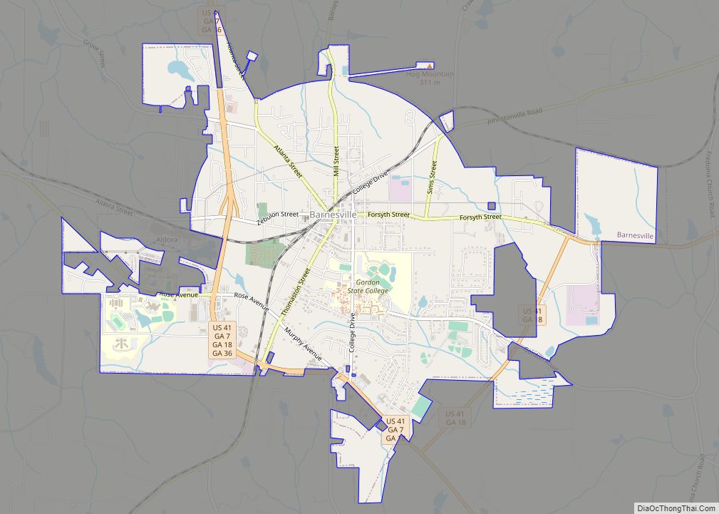
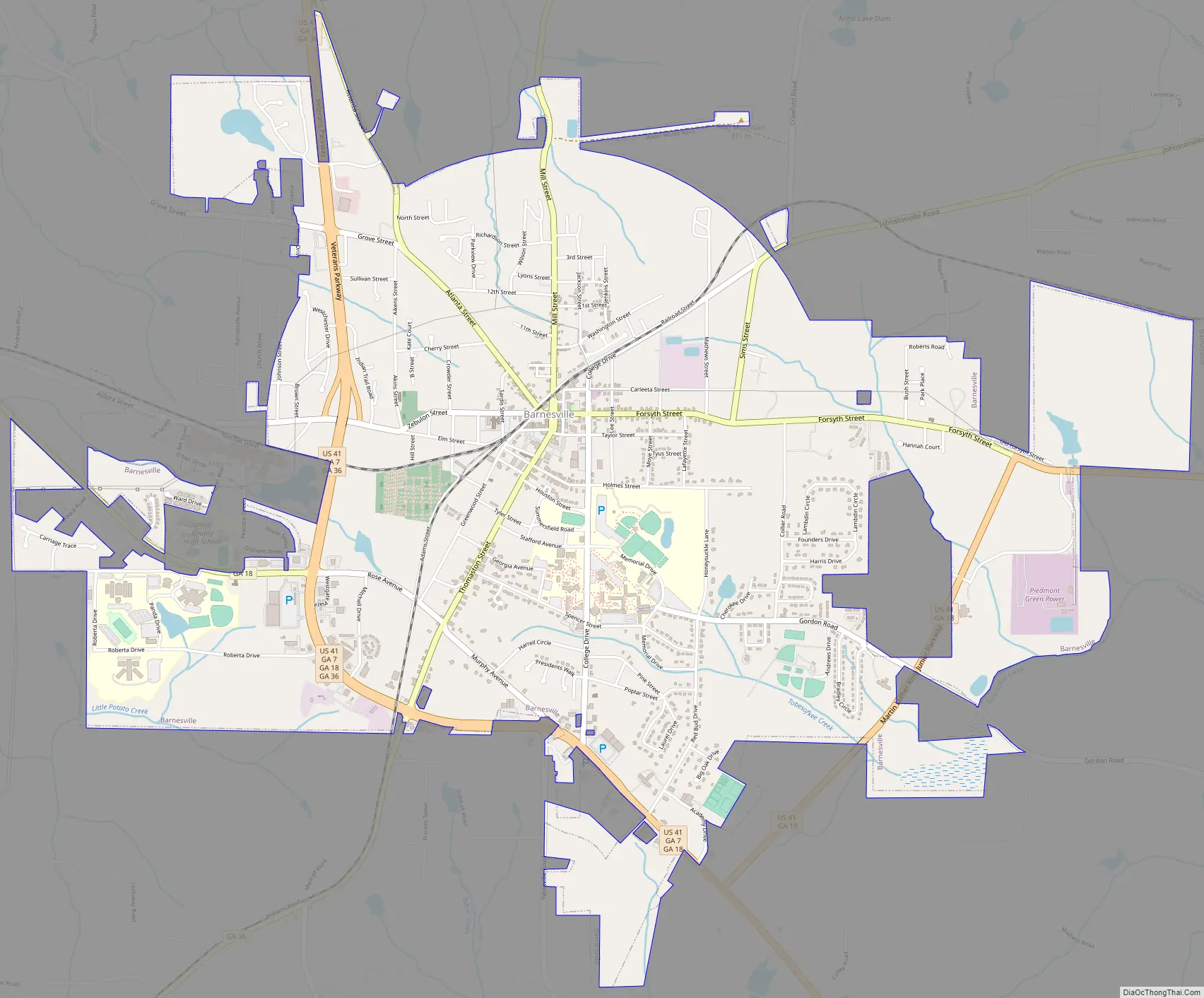
Barnesville Road Map
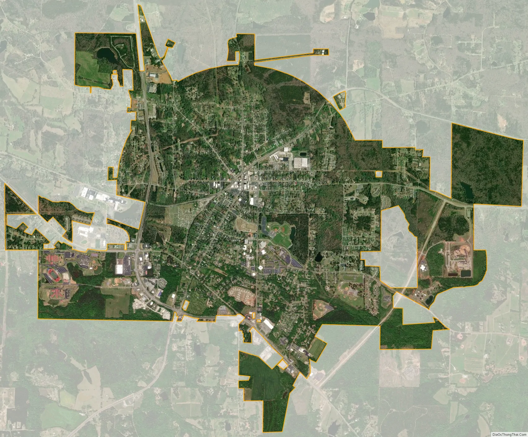
Barnesville city Satellite Map
Geography
Barnesville is located south of the center of Lamar County at 33°3′11″N 84°9′22″W / 33.05306°N 84.15611°W / 33.05306; -84.15611 (33.053090, -84.156217). U.S. Route 41 passes through the western, southern, and eastern outskirts of the city on a bypass; the highway leads northwest 16 miles (26 km) to Griffin and east 13 miles (21 km) to Forsyth. U.S. Route 341 branches off US 41 on the south side of Barnesville and leads southeast 53 miles (85 km) to Perry, where it rejoins US 41. Georgia State Route 18 follows US 41 around the southern and eastern sides of Barnesville but leads west 11 miles (18 km) to Zebulon. State Route 36 follows the western side of the Barnesville bypass and leads northeast 22 miles (35 km) to Jackson and southwest 16 miles (26 km) to Thomaston.
According to the United States Census Bureau, Barnesville has a total area of 6.1 square miles (15.9 km), of which 6.07 square miles (15.73 km) are land and 0.05 square miles (0.12 km), or 0.78%, are water.
Barnesville sits on a low ridge at an elevation of 850 feet (260 m) above sea level. Hog Mountain rises above the city to the north, with a summit elevation of 1,015 feet (309 m). The north side of the city drains via Big Towaliga Creek to the Little Towaliga River, the Towaliga River, and eventually the Ocmulgee River. The east side drains via Tobesofkee Creek to the Ocmulgee south of Macon. The south end of the city drains via Tobler Creek to the Flint River, and the west side drains via Little Potato Creek, then Potato Creek, to the Flint River. Because the Ocmulgee River ultimately drains to the Atlantic Ocean and the Flint River ultimately to the Gulf of Mexico, Barnesville sits on the Eastern Continental Divide.
See also
Map of Georgia State and its subdivision:- Appling
- Atkinson
- Bacon
- Baker
- Baldwin
- Banks
- Barrow
- Bartow
- Ben Hill
- Berrien
- Bibb
- Bleckley
- Brantley
- Brooks
- Bryan
- Bulloch
- Burke
- Butts
- Calhoun
- Camden
- Candler
- Carroll
- Catoosa
- Charlton
- Chatham
- Chattahoochee
- Chattooga
- Cherokee
- Clarke
- Clay
- Clayton
- Clinch
- Cobb
- Coffee
- Colquitt
- Columbia
- Cook
- Coweta
- Crawford
- Crisp
- Dade
- Dawson
- Decatur
- DeKalb
- Dodge
- Dooly
- Dougherty
- Douglas
- Early
- Echols
- Effingham
- Elbert
- Emanuel
- Evans
- Fannin
- Fayette
- Floyd
- Forsyth
- Franklin
- Fulton
- Gilmer
- Glascock
- Glynn
- Gordon
- Grady
- Greene
- Gwinnett
- Habersham
- Hall
- Hancock
- Haralson
- Harris
- Hart
- Heard
- Henry
- Houston
- Irwin
- Jackson
- Jasper
- Jeff Davis
- Jefferson
- Jenkins
- Johnson
- Jones
- Lamar
- Lanier
- Laurens
- Lee
- Liberty
- Lincoln
- Long
- Lowndes
- Lumpkin
- Macon
- Madison
- Marion
- McDuffie
- McIntosh
- Meriwether
- Miller
- Mitchell
- Monroe
- Montgomery
- Morgan
- Murray
- Muscogee
- Newton
- Oconee
- Oglethorpe
- Paulding
- Peach
- Pickens
- Pierce
- Pike
- Polk
- Pulaski
- Putnam
- Quitman
- Rabun
- Randolph
- Richmond
- Rockdale
- Schley
- Screven
- Seminole
- Spalding
- Stephens
- Stewart
- Sumter
- Talbot
- Taliaferro
- Tattnall
- Taylor
- Telfair
- Terrell
- Thomas
- Tift
- Toombs
- Towns
- Treutlen
- Troup
- Turner
- Twiggs
- Union
- Upson
- Walker
- Walton
- Ware
- Warren
- Washington
- Wayne
- Webster
- Wheeler
- White
- Whitfield
- Wilcox
- Wilkes
- Wilkinson
- Worth
- Alabama
- Alaska
- Arizona
- Arkansas
- California
- Colorado
- Connecticut
- Delaware
- District of Columbia
- Florida
- Georgia
- Hawaii
- Idaho
- Illinois
- Indiana
- Iowa
- Kansas
- Kentucky
- Louisiana
- Maine
- Maryland
- Massachusetts
- Michigan
- Minnesota
- Mississippi
- Missouri
- Montana
- Nebraska
- Nevada
- New Hampshire
- New Jersey
- New Mexico
- New York
- North Carolina
- North Dakota
- Ohio
- Oklahoma
- Oregon
- Pennsylvania
- Rhode Island
- South Carolina
- South Dakota
- Tennessee
- Texas
- Utah
- Vermont
- Virginia
- Washington
- West Virginia
- Wisconsin
- Wyoming