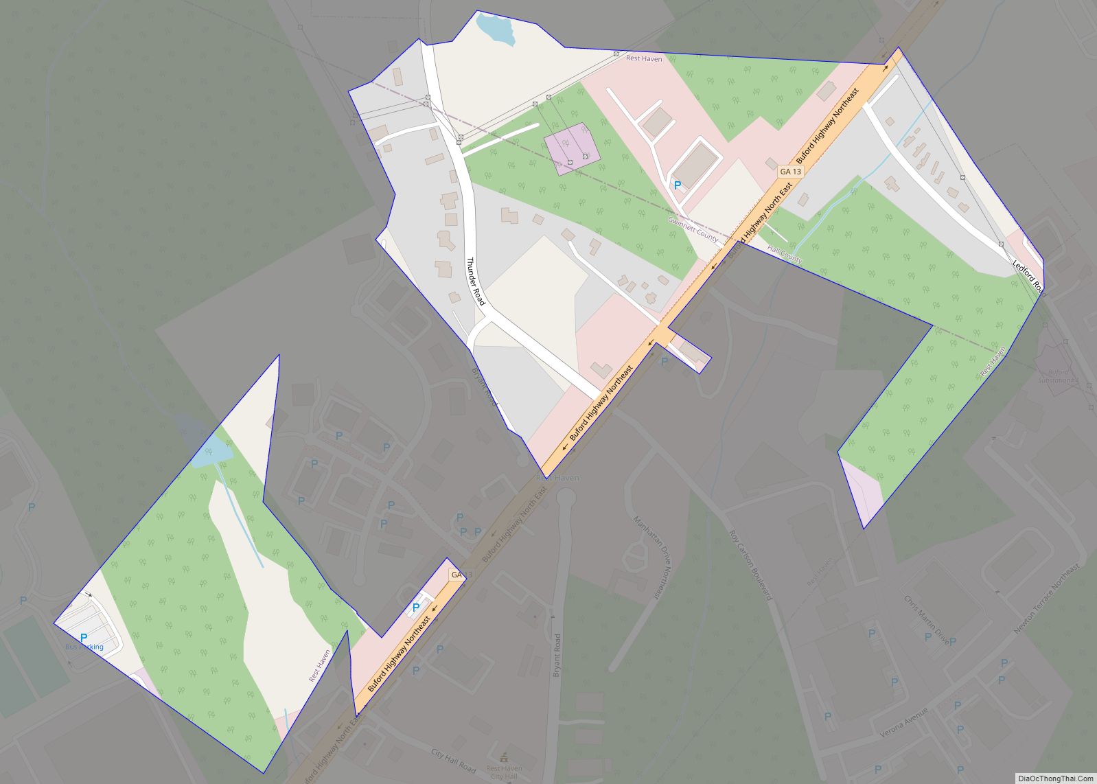
Rest Haven is a town primarily in northern Gwinnett and partly in southern Hall counties in the U.S. state of Georgia. As of the 2010 census, it had a total population of 62. Rest Haven is located along Georgia State Route 13, a highway from Atlanta to Gainesville that is immediately west of Interstate 985. ... Read more
Georgia Cities and Places
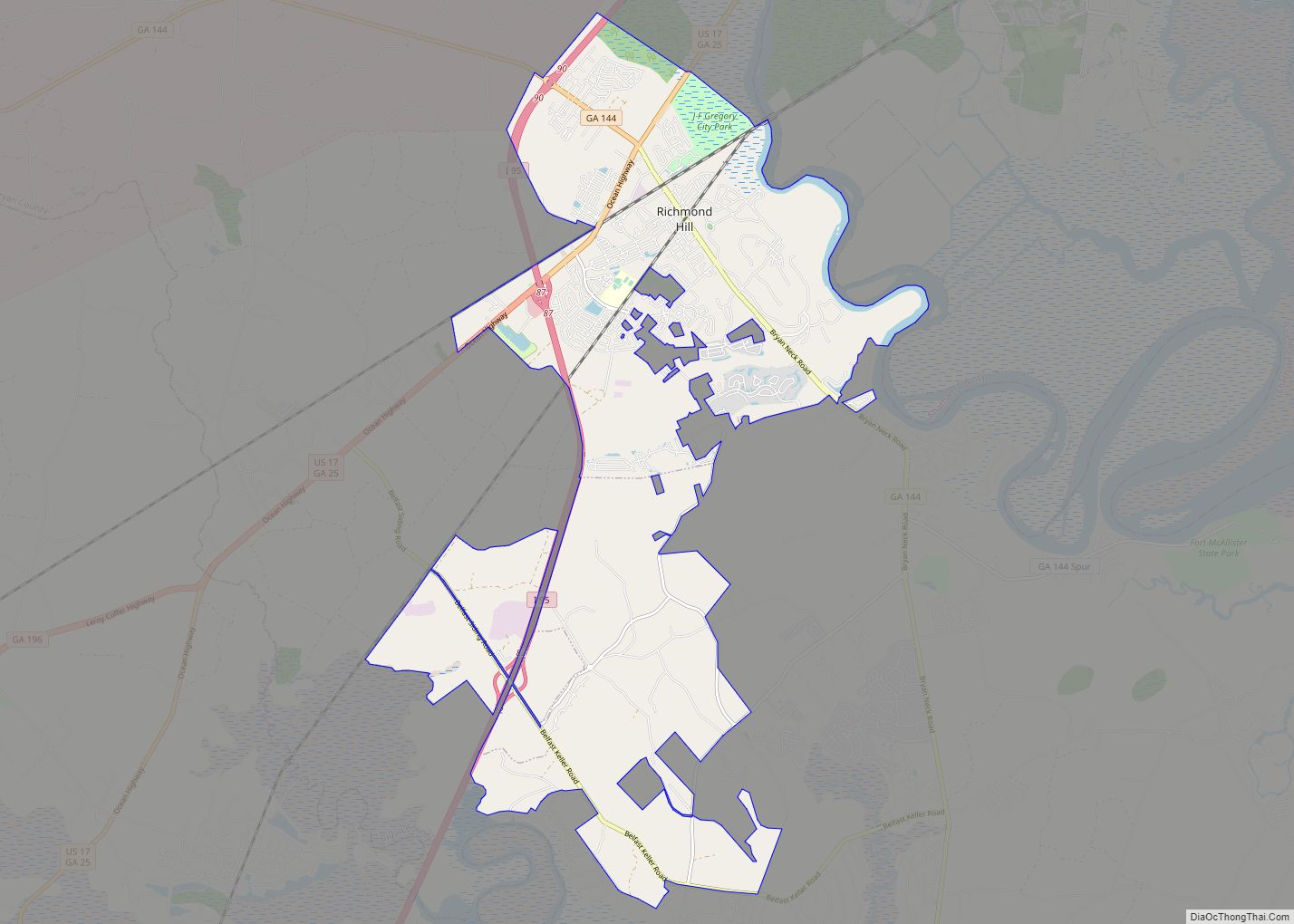
Richmond Hill is a city in Bryan County, Georgia, United States. The population was 16,633 at the 2020 U.S. Census, an increase of almost 80% from the 2010 population of 9,281. Richmond Hill is part of the Savannah Metropolitan Statistical Area. Richmond Hill city overview: Name: Richmond Hill city LSAD Code: 25 LSAD Description: city ... Read more
Richland is a city in Stewart County, Georgia, United States. Per the 2020 census, the population was 1,370. Richland city overview: Name: Richland city LSAD Code: 25 LSAD Description: city (suffix) State: Georgia County: Stewart County Elevation: 607 ft (185 m) Total Area: 3.25 sq mi (8.40 km²) Land Area: 3.20 sq mi (8.29 km²) Water Area: 0.04 sq mi (0.12 km²) Total Population: 1,370 Population ... Read more
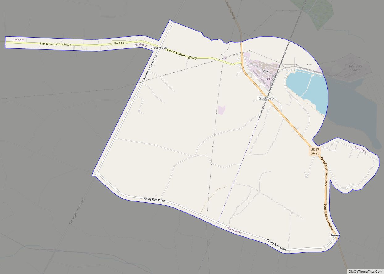
Riceboro is a city in Liberty County, Georgia, United States. The population was 809 at the 2010 census. It is a part of the Hinesville-Fort Stewart metropolitan statistical area. Riceboro city overview: Name: Riceboro city LSAD Code: 25 LSAD Description: city (suffix) State: Georgia County: Liberty County Elevation: 13 ft (4 m) Total Area: 11.37 sq mi (29.46 km²) Land ... Read more
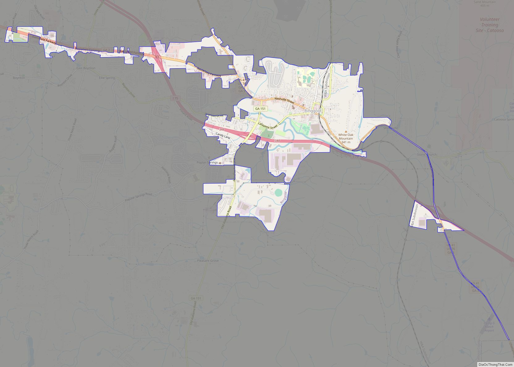
Ringgold is a city in and the county seat of Catoosa County, Georgia, United States. Its population was 3,414 at the 2020 census. It is part of the Chattanooga, Tennessee–GA Metropolitan Statistical Area. Ringgold city overview: Name: Ringgold city LSAD Code: 25 LSAD Description: city (suffix) State: Georgia County: Catoosa County Founded: 1846 Elevation: 778 ft ... Read more
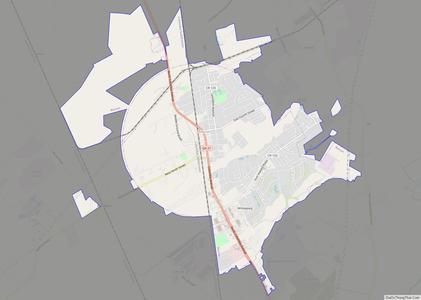
Rincon is a city in Effingham County, Georgia, United States. The 2020 population was 10,934, up from 8,836 at the 2010 census. Rincon is part of the Savannah Metropolitan Statistical Area. Rincon city overview: Name: Rincon city LSAD Code: 25 LSAD Description: city (suffix) State: Georgia County: Effingham County Elevation: 72 ft (22 m) Total Area: 9.75 sq mi ... Read more
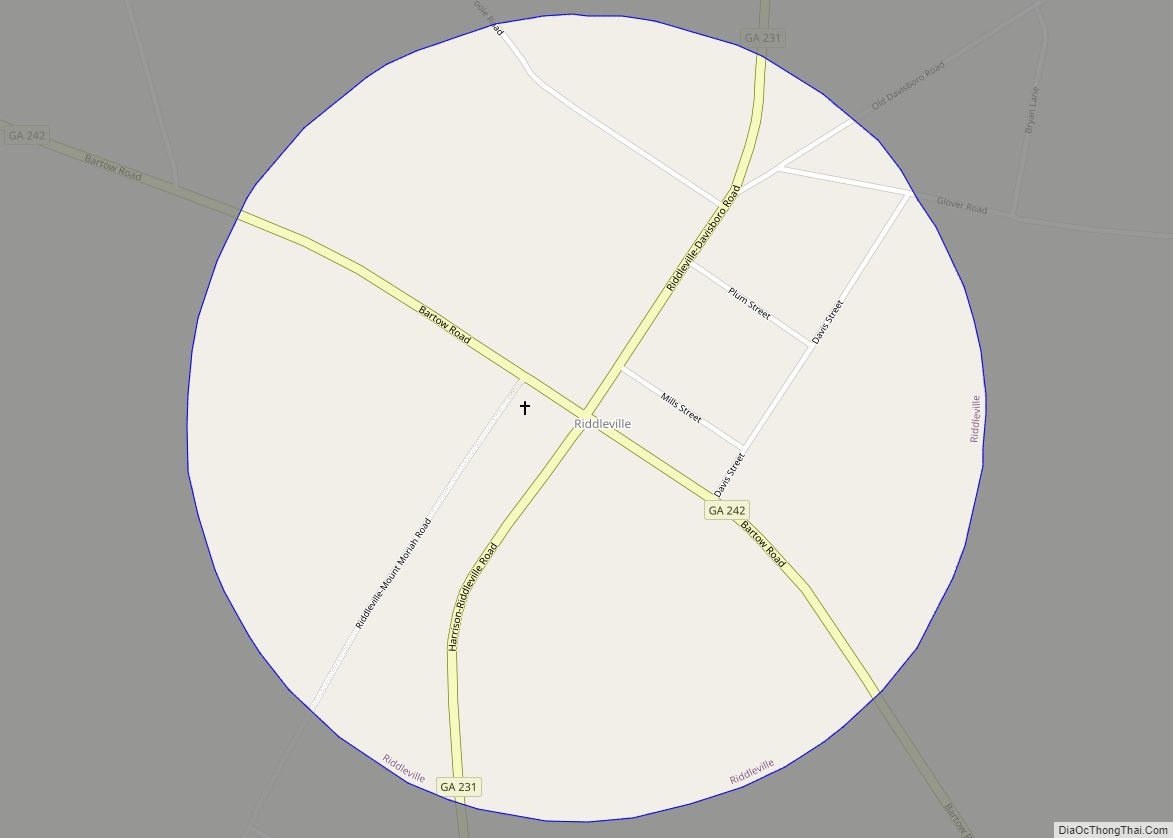
Riddleville is a town in Washington County, Georgia, United States. The population was 124 at the 2000 census. Riddleville town overview: Name: Riddleville town LSAD Code: 43 LSAD Description: town (suffix) State: Georgia County: Washington County Elevation: 410 ft (125 m) Total Area: 0.78 sq mi (2.03 km²) Land Area: 0.77 sq mi (1.98 km²) Water Area: 0.02 sq mi (0.05 km²) Total Population: 80 Population ... Read more
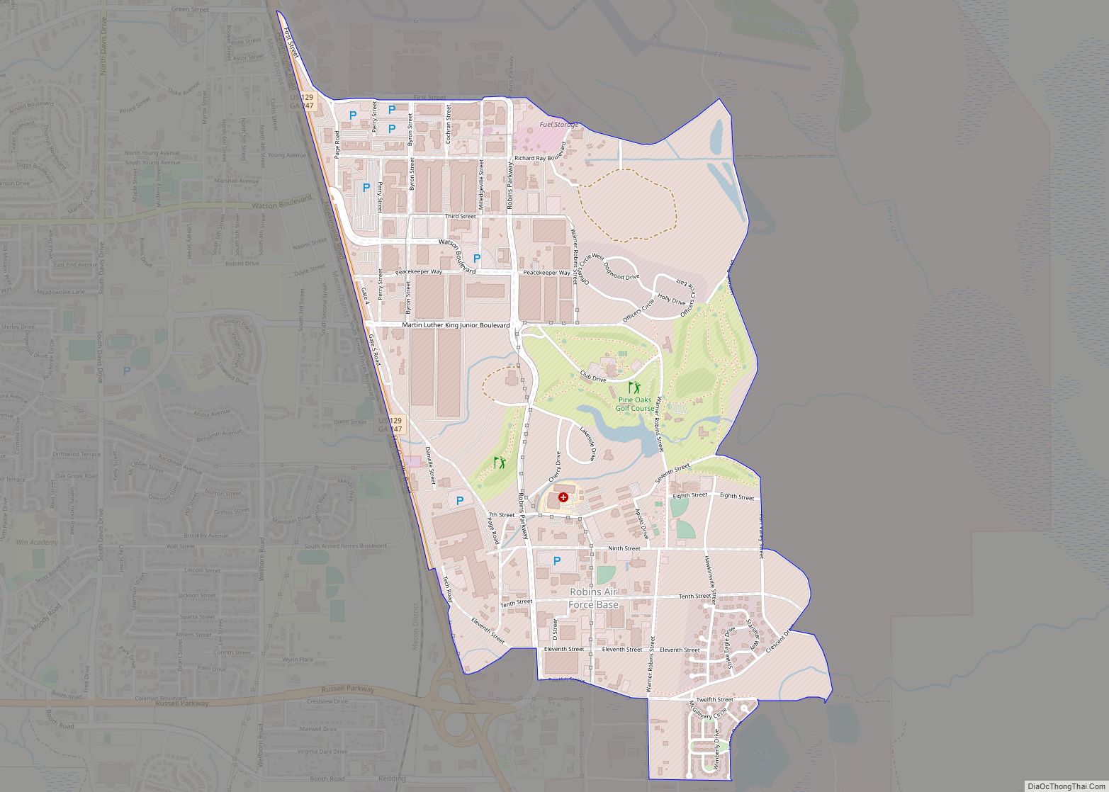
Robins Air Force Base (IATA: WRB, ICAO: KWRB) is a major United States Air Force installation located in Houston County, Georgia, United States. The base is located just east of the city of Warner Robins, 18 mi (29 km) south-southeast of Macon and approximately 100 mi (160 km) south-southeast of Atlanta, Georgia. The base is named in honor of ... Read more
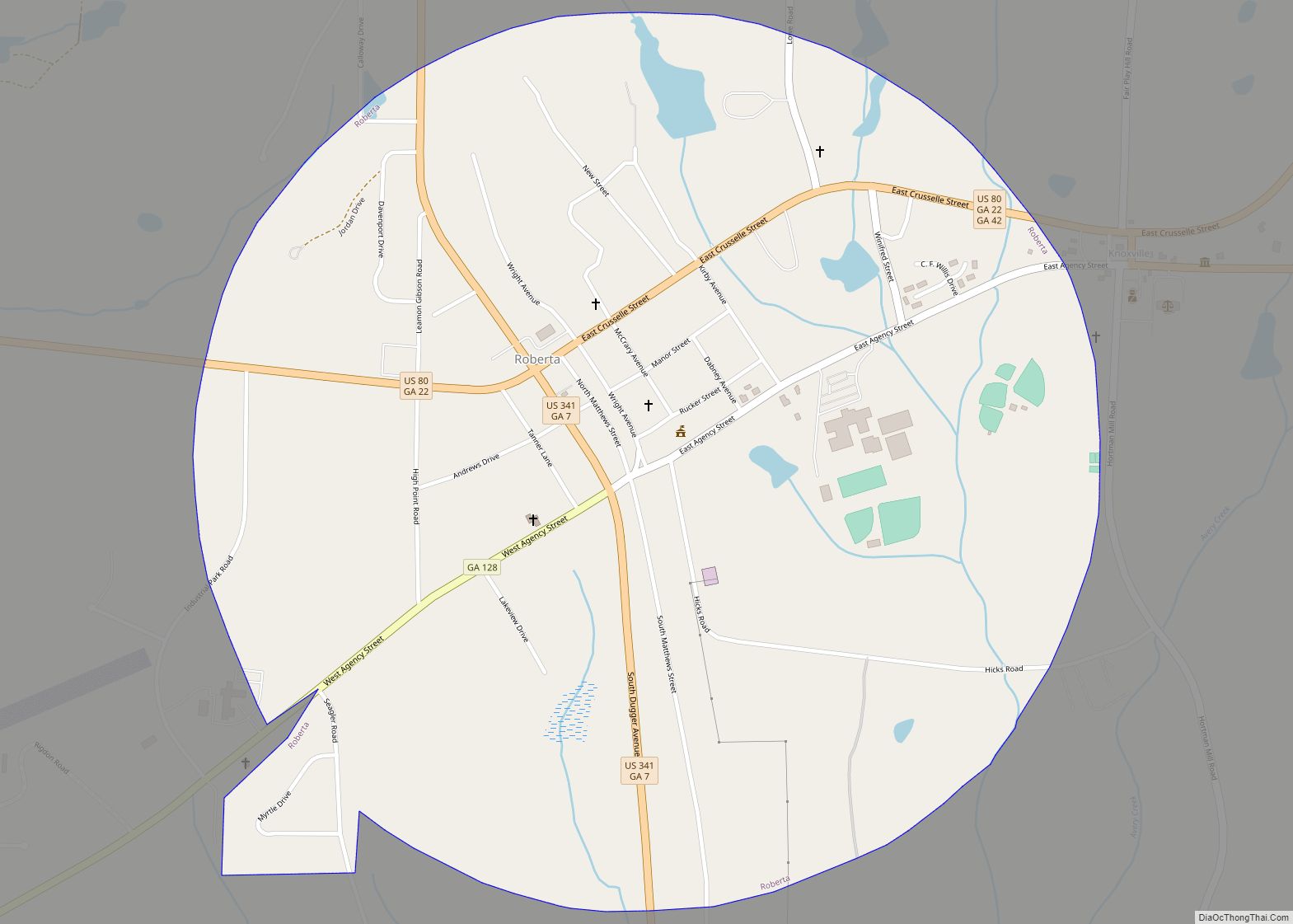
Roberta is a city in Crawford County, Georgia, United States. The population was 1,007 at the 2010 census. It is part of the Macon Metropolitan Statistical Area. Roberta city overview: Name: Roberta city LSAD Code: 25 LSAD Description: city (suffix) State: Georgia County: Crawford County Elevation: 505 ft (154 m) Total Area: 1.51 sq mi (3.90 km²) Land Area: 1.49 sq mi ... Read more
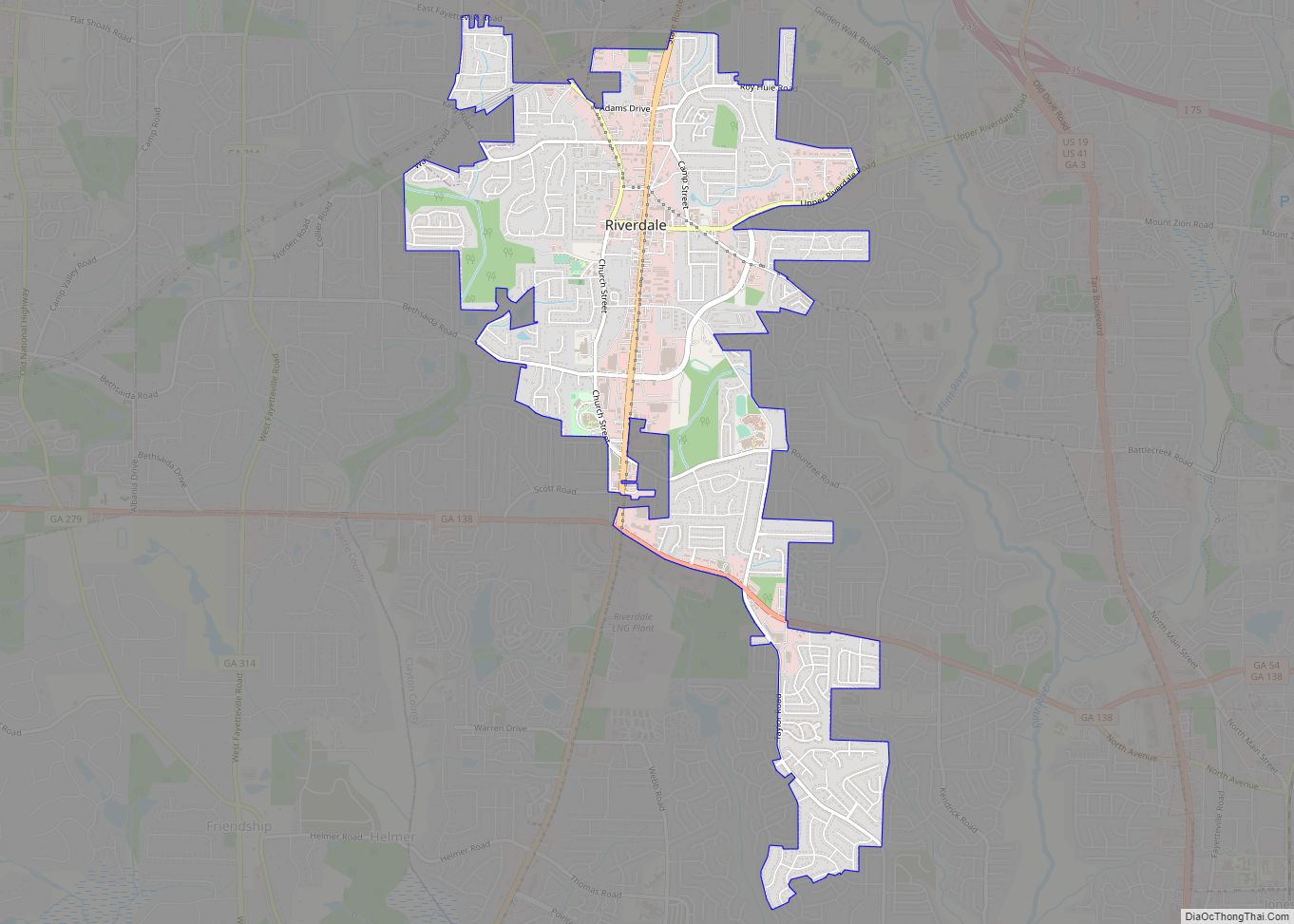
Riverdale is a city in Clayton County, Georgia, United States. The population was 15,134 at the 2010 census, up from 12,478 in 2000. Riverdale is a suburb just south of Hartsfield–Jackson Atlanta International Airport and is part of the Atlanta metropolitan area. Riverdale city overview: Name: Riverdale city LSAD Code: 25 LSAD Description: city (suffix) ... Read more
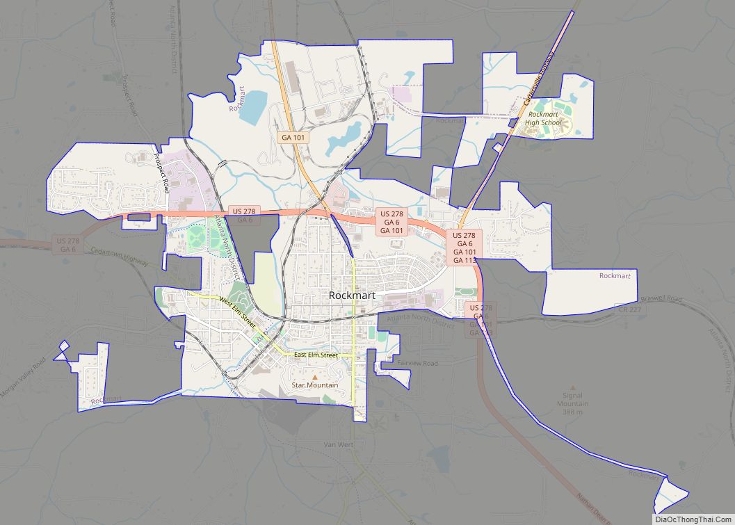
Rockmart is a town in Polk County, Georgia, United States. Its population was 4,732 at the 2020 census. It developed as a railroad depot town when the Southern Railway built a station in the area. The community was incorporated in 1872, and was named from abundant deposits of slate in the area. The Rockmart Downtown ... Read more
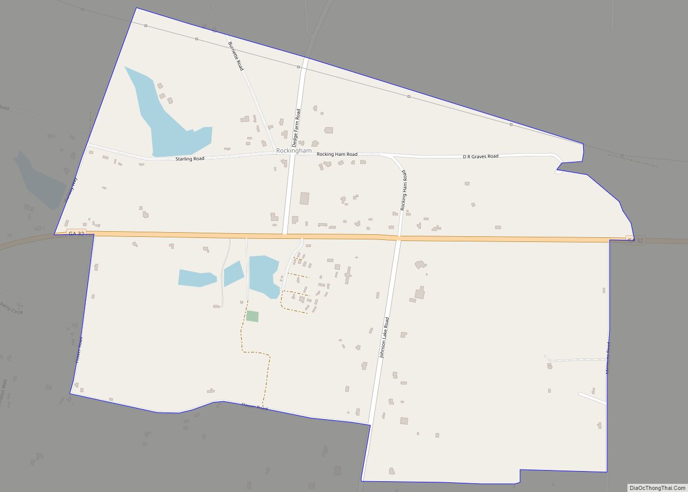
Rockingham (also Sallie) is an unincorporated community and census-designated place in central Bacon County, Georgia, United States. It lies along State Route 32 to the east of the city of Alma, the county seat of Bacon County. Its elevation is 194 feet (59 m). As of the 2010 census it had a population of 248. Rockingham ... Read more
