Rockmart is a town in Polk County, Georgia, United States. Its population was 4,732 at the 2020 census. It developed as a railroad depot town when the Southern Railway built a station in the area. The community was incorporated in 1872, and was named from abundant deposits of slate in the area. The Rockmart Downtown Historic District is listed on the National Register of Historic Places.
| Name: | Rockmart city |
|---|---|
| LSAD Code: | 25 |
| LSAD Description: | city (suffix) |
| State: | Georgia |
| County: | Polk County |
| Elevation: | 781 ft (238 m) |
| Total Area: | 5.72 sq mi (14.80 km²) |
| Land Area: | 5.64 sq mi (14.61 km²) |
| Water Area: | 0.07 sq mi (0.19 km²) |
| Total Population: | 4,732 |
| Population Density: | 838.71/sq mi (323.82/km²) |
| ZIP code: | 30153 |
| Area code: | 770/678/470 |
| FIPS code: | 1366276 |
| GNISfeature ID: | 0356502 |
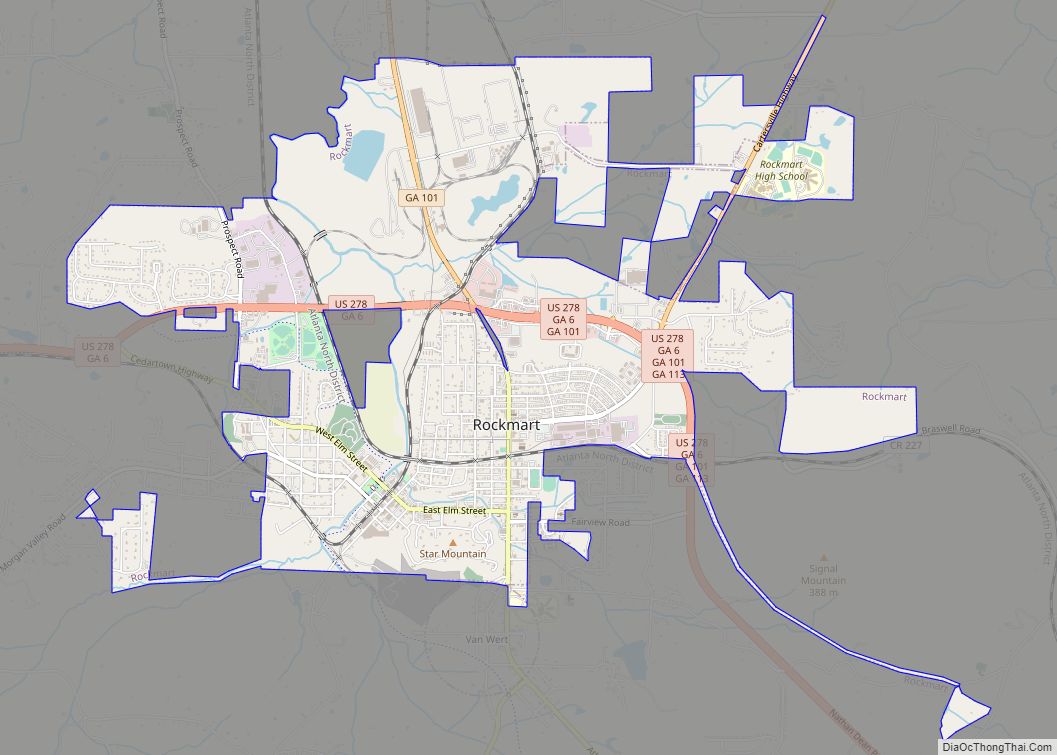
Online Interactive Map
Click on ![]() to view map in "full screen" mode.
to view map in "full screen" mode.
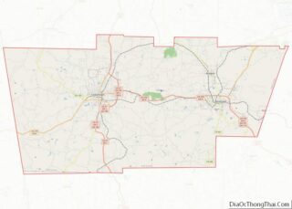
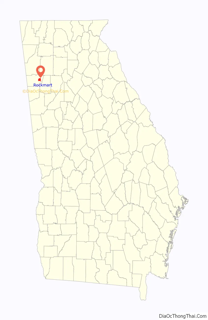
Rockmart location map. Where is Rockmart city?

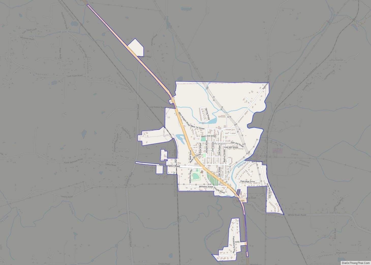
Rockmart Road Map

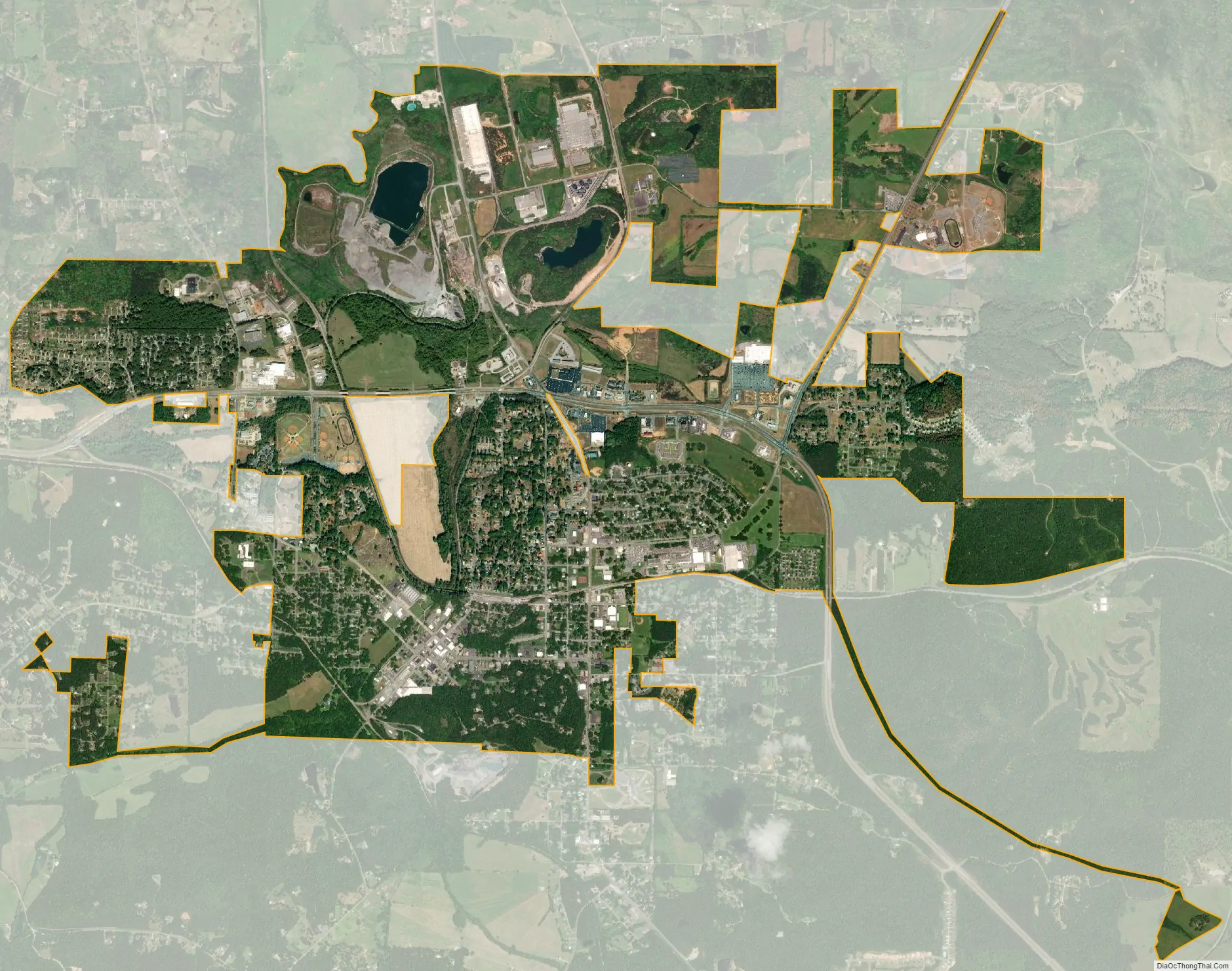
Rockmart city Satellite Map
Geography
Rockmart is located at 34°00′14″N 85°02′57″W / 34.003952°N 85.049202°W / 34.003952; -85.049202. According to the United States Census Bureau, the city has a total area of 4.4 square miles (11 km), of which 4.3 square miles (11 km) is land and 0.04 square miles (0.10 km) (0.69%) is water. Most of the town is in Polk County; parts of it also stretch into Paulding County.
U.S. Route 278, and Georgia State Routes 101 and 113, are the major roads through the town. U.S. 278 runs from west to east as a northern bypass, leading southeast 15 mi (24 km) to Dallas and west 14 mi (23 km) to Cedartown, the Polk County seat. GA-101 runs along the northern bypass of the town with U.S. 278, leading north 20 mi (32 km) to Rome and southeast 8 mi (13 km) to Yorkville (concurrent with GA-113). GA-113 also follows U.S. 278/GA-101 along the northern bypass of the town, leading northeast 19 mi (31 km) to Cartersville and southeast to Yorkville (concurrent with GA-101).
See also
Map of Georgia State and its subdivision:- Appling
- Atkinson
- Bacon
- Baker
- Baldwin
- Banks
- Barrow
- Bartow
- Ben Hill
- Berrien
- Bibb
- Bleckley
- Brantley
- Brooks
- Bryan
- Bulloch
- Burke
- Butts
- Calhoun
- Camden
- Candler
- Carroll
- Catoosa
- Charlton
- Chatham
- Chattahoochee
- Chattooga
- Cherokee
- Clarke
- Clay
- Clayton
- Clinch
- Cobb
- Coffee
- Colquitt
- Columbia
- Cook
- Coweta
- Crawford
- Crisp
- Dade
- Dawson
- Decatur
- DeKalb
- Dodge
- Dooly
- Dougherty
- Douglas
- Early
- Echols
- Effingham
- Elbert
- Emanuel
- Evans
- Fannin
- Fayette
- Floyd
- Forsyth
- Franklin
- Fulton
- Gilmer
- Glascock
- Glynn
- Gordon
- Grady
- Greene
- Gwinnett
- Habersham
- Hall
- Hancock
- Haralson
- Harris
- Hart
- Heard
- Henry
- Houston
- Irwin
- Jackson
- Jasper
- Jeff Davis
- Jefferson
- Jenkins
- Johnson
- Jones
- Lamar
- Lanier
- Laurens
- Lee
- Liberty
- Lincoln
- Long
- Lowndes
- Lumpkin
- Macon
- Madison
- Marion
- McDuffie
- McIntosh
- Meriwether
- Miller
- Mitchell
- Monroe
- Montgomery
- Morgan
- Murray
- Muscogee
- Newton
- Oconee
- Oglethorpe
- Paulding
- Peach
- Pickens
- Pierce
- Pike
- Polk
- Pulaski
- Putnam
- Quitman
- Rabun
- Randolph
- Richmond
- Rockdale
- Schley
- Screven
- Seminole
- Spalding
- Stephens
- Stewart
- Sumter
- Talbot
- Taliaferro
- Tattnall
- Taylor
- Telfair
- Terrell
- Thomas
- Tift
- Toombs
- Towns
- Treutlen
- Troup
- Turner
- Twiggs
- Union
- Upson
- Walker
- Walton
- Ware
- Warren
- Washington
- Wayne
- Webster
- Wheeler
- White
- Whitfield
- Wilcox
- Wilkes
- Wilkinson
- Worth
- Alabama
- Alaska
- Arizona
- Arkansas
- California
- Colorado
- Connecticut
- Delaware
- District of Columbia
- Florida
- Georgia
- Hawaii
- Idaho
- Illinois
- Indiana
- Iowa
- Kansas
- Kentucky
- Louisiana
- Maine
- Maryland
- Massachusetts
- Michigan
- Minnesota
- Mississippi
- Missouri
- Montana
- Nebraska
- Nevada
- New Hampshire
- New Jersey
- New Mexico
- New York
- North Carolina
- North Dakota
- Ohio
- Oklahoma
- Oregon
- Pennsylvania
- Rhode Island
- South Carolina
- South Dakota
- Tennessee
- Texas
- Utah
- Vermont
- Virginia
- Washington
- West Virginia
- Wisconsin
- Wyoming