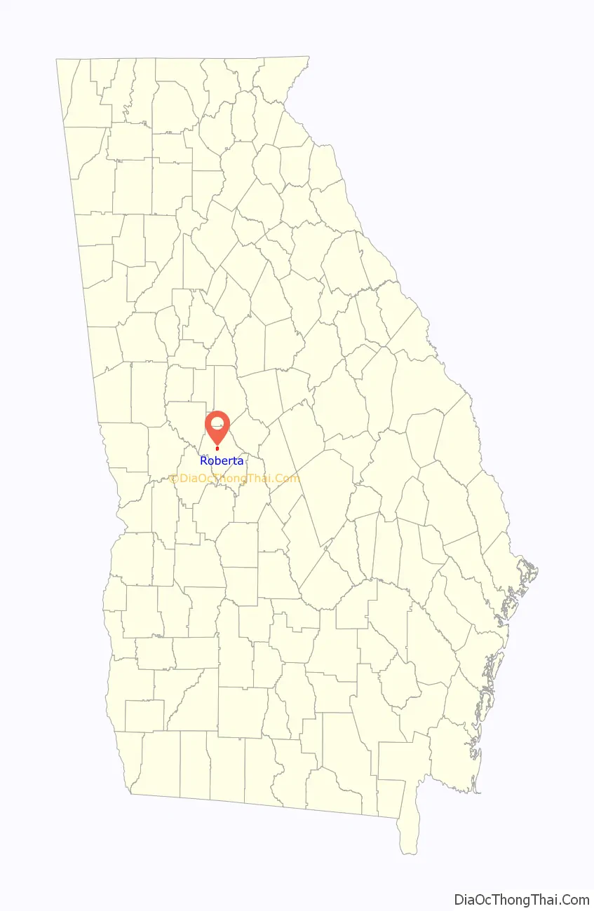
Roberta is a city in Crawford County, Georgia, United States. The population was 1,007 at the 2010 census. It is part of the Macon Metropolitan Statistical Area.
| Name: | Roberta city |
|---|---|
| LSAD Code: | 25 |
| LSAD Description: | city (suffix) |
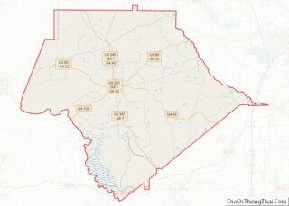
| State: | Georgia |
| County: | Crawford County |
| Elevation: | 505 ft (154 m) |
| Total Area: | 1.51 sq mi (3.90 km²) |
| Land Area: | 1.49 sq mi (3.86 km²) |
| Water Area: | 0.02 sq mi (0.04 km²) |
| Total Population: | 813 |
| Population Density: | 546.00/sq mi (210.80/km²) |
| ZIP code: | 31078 |
| Area code: | 478 |
| FIPS code: | 1365856 |
| GNISfeature ID: | 0321670 |
| Website: | cityofroberta.com |
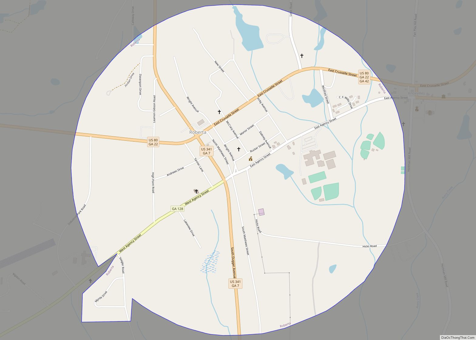
Online Interactive Map
Click on ![]() to view map in "full screen" mode.
to view map in "full screen" mode.
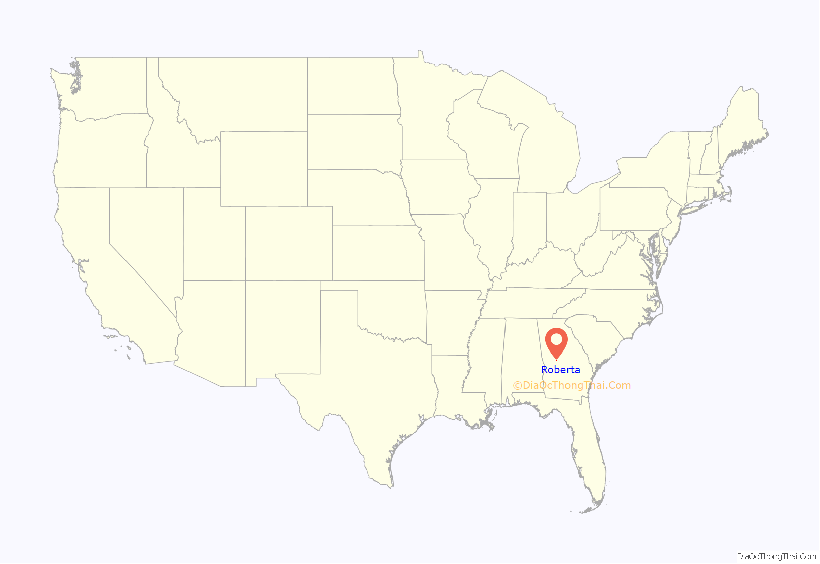
Roberta location map. Where is Roberta city?
History
Creek Agency
In the early nineteenth century, Indian agent Benjamin Hawkins built his plantation on the Flint River near Roberta. This was also a trading post and the Creek Agency.
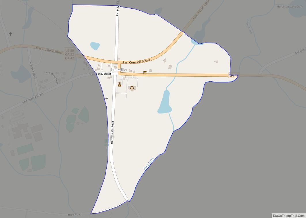
New Knoxville
Originally in Crawford County, Knoxville was the only stop in the county, until the A&F Railroad bypassed it by about a mile to the southwest when it was built in 1888. A train station was built, and a new town sprang up. People migrated towards this new town, called “New Knoxville.”
Hiram David McCrary allowed the railroad to use part of his land, and was given naming rights to the town, which he named “Roberta” for his 7-year-old daughter. McCrary later became the owner of the first general store in Roberta, was its first elected mayor, co-owned its first motel, and served as tax collector and a railroad station agent.
In 1910, Roberta was incorporated as a city and was expanded in every direction by 1200 yards.
In 1949, the original train depot burned. It was replaced about a year later by a smaller concrete block building. A replica of the original depot was built in 2003 and currently houses the Chamber of Commerce Welcome Center.
Rise and demise
With the construction of the A&F Railroad and U.S. Highway 341, Roberta became a rapidly growing tourist town, with restaurants and hotels springing up. However, in the 1940s, passenger rail service ended in Roberta, ending one of the two main traffic flows. A decade later, Interstate 75 bypassed Roberta to the east, diverting much traffic. After these events, Roberta relaxed into a more small-town setting.
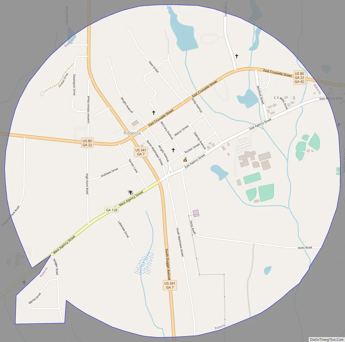
Roberta Road Map
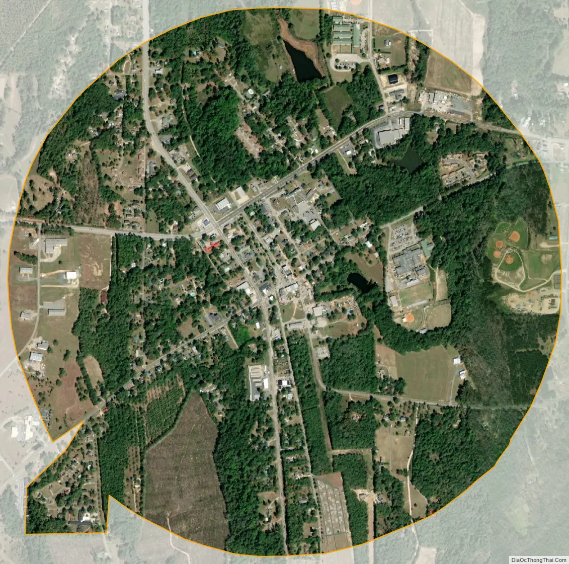
Roberta city Satellite Map
Geography
Roberta is located near the center of Crawford County at 32°43′17″N 84°0′45″W / 32.72139°N 84.01250°W / 32.72139; -84.01250 (32.721283, -84.012512). U.S. Route 80 passes through the city, leading east 26 miles (42 km) to Macon and west 69 miles (111 km) to Columbus. U.S. Route 341 crosses US 80 in the city center, leading north 27 miles (43 km) to Barnesville and southeast 27 miles (43 km) to Perry.
The city is located roughly on the fall line of the eastern U.S., meaning that it is located between the hillier Piedmont region to the north and the flatter Atlantic coastal plain to the south.
According to the United States Census Bureau, Roberta has a total area of 1.5 square miles (3.9 km), of which 0.02 square miles (0.04 km), or 1.11%, is water.
See also
Map of Georgia State and its subdivision:- Appling
- Atkinson
- Bacon
- Baker
- Baldwin
- Banks
- Barrow
- Bartow
- Ben Hill
- Berrien
- Bibb
- Bleckley
- Brantley
- Brooks
- Bryan
- Bulloch
- Burke
- Butts
- Calhoun
- Camden
- Candler
- Carroll
- Catoosa
- Charlton
- Chatham
- Chattahoochee
- Chattooga
- Cherokee
- Clarke
- Clay
- Clayton
- Clinch
- Cobb
- Coffee
- Colquitt
- Columbia
- Cook
- Coweta
- Crawford
- Crisp
- Dade
- Dawson
- Decatur
- DeKalb
- Dodge
- Dooly
- Dougherty
- Douglas
- Early
- Echols
- Effingham
- Elbert
- Emanuel
- Evans
- Fannin
- Fayette
- Floyd
- Forsyth
- Franklin
- Fulton
- Gilmer
- Glascock
- Glynn
- Gordon
- Grady
- Greene
- Gwinnett
- Habersham
- Hall
- Hancock
- Haralson
- Harris
- Hart
- Heard
- Henry
- Houston
- Irwin
- Jackson
- Jasper
- Jeff Davis
- Jefferson
- Jenkins
- Johnson
- Jones
- Lamar
- Lanier
- Laurens
- Lee
- Liberty
- Lincoln
- Long
- Lowndes
- Lumpkin
- Macon
- Madison
- Marion
- McDuffie
- McIntosh
- Meriwether
- Miller
- Mitchell
- Monroe
- Montgomery
- Morgan
- Murray
- Muscogee
- Newton
- Oconee
- Oglethorpe
- Paulding
- Peach
- Pickens
- Pierce
- Pike
- Polk
- Pulaski
- Putnam
- Quitman
- Rabun
- Randolph
- Richmond
- Rockdale
- Schley
- Screven
- Seminole
- Spalding
- Stephens
- Stewart
- Sumter
- Talbot
- Taliaferro
- Tattnall
- Taylor
- Telfair
- Terrell
- Thomas
- Tift
- Toombs
- Towns
- Treutlen
- Troup
- Turner
- Twiggs
- Union
- Upson
- Walker
- Walton
- Ware
- Warren
- Washington
- Wayne
- Webster
- Wheeler
- White
- Whitfield
- Wilcox
- Wilkes
- Wilkinson
- Worth
- Alabama
- Alaska
- Arizona
- Arkansas
- California
- Colorado
- Connecticut
- Delaware
- District of Columbia
- Florida
- Georgia
- Hawaii
- Idaho
- Illinois
- Indiana
- Iowa
- Kansas
- Kentucky
- Louisiana
- Maine
- Maryland
- Massachusetts
- Michigan
- Minnesota
- Mississippi
- Missouri
- Montana
- Nebraska
- Nevada
- New Hampshire
- New Jersey
- New Mexico
- New York
- North Carolina
- North Dakota
- Ohio
- Oklahoma
- Oregon
- Pennsylvania
- Rhode Island
- South Carolina
- South Dakota
- Tennessee
- Texas
- Utah
- Vermont
- Virginia
- Washington
- West Virginia
- Wisconsin
- Wyoming