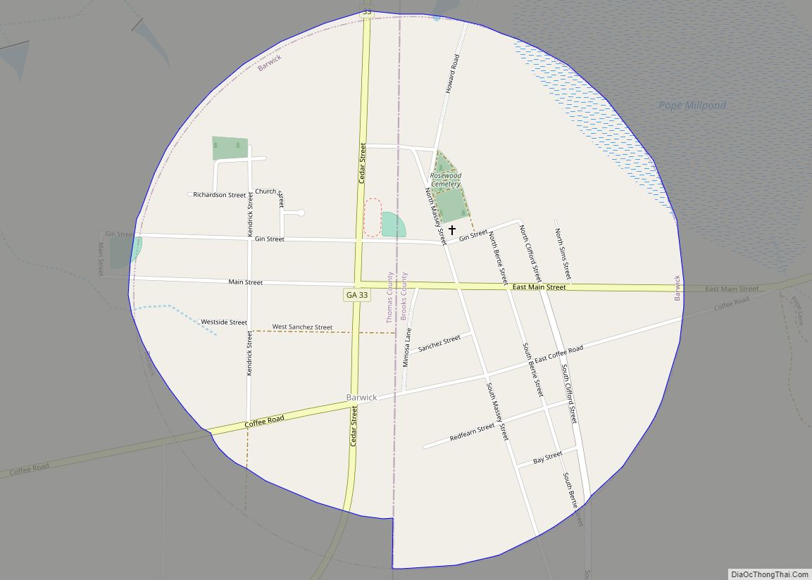
Barwick is a city divided by the county line between Brooks and Thomas counties, Georgia, United States. It is part of the Valdosta, Georgia Metropolitan Statistical Area. As of the 2020 census, the city had a population of 363. Barwick city overview: Name: Barwick city LSAD Code: 25 LSAD Description: city (suffix) State: Georgia County: ... Read more
Georgia Cities and Places
Berlin is a city in Colquitt County, Georgia, United States. As of the 2020 census, the city had a population of 511. Berlin city overview: Name: Berlin city LSAD Code: 25 LSAD Description: city (suffix) State: Georgia County: Colquitt County Elevation: 259 ft (79 m) Total Area: 0.84 sq mi (2.16 km²) Land Area: 0.84 sq mi (2.16 km²) Water Area: 0.00 sq mi (0.00 km²) ... Read more
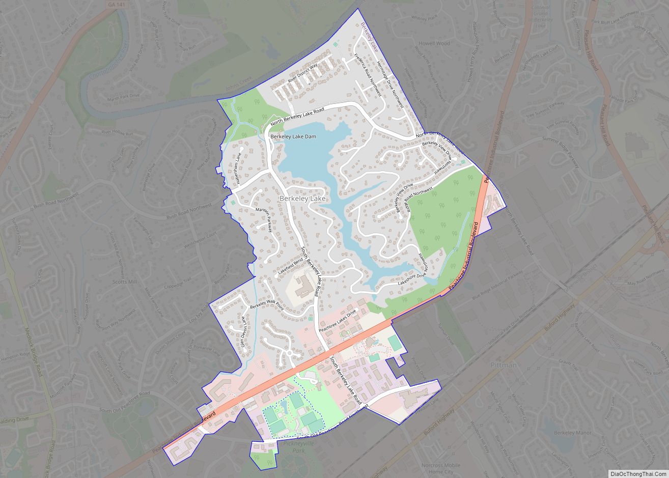
Berkeley Lake is a city in Gwinnett County, Georgia, United States. It is a northern suburb of Atlanta. From its 1956 origins as a summer retreat, Berkeley Lake has grown into a thriving community centered on its 88-acre (360,000 m) namesake lake. As of the 2020 census, the city had a population of 2,054. It has ... Read more
Belvedere Park is a census-designated place (CDP) in DeKalb County, Georgia, United States. The population was 15,152 at the 2010 census. Belvedere Park CDP overview: Name: Belvedere Park CDP LSAD Code: 57 LSAD Description: CDP (suffix) State: Georgia County: DeKalb County Elevation: 997 ft (304 m) Total Area: 4.90 sq mi (12.69 km²) Land Area: 4.90 sq mi (12.68 km²) Water Area: 0.00 sq mi ... Read more
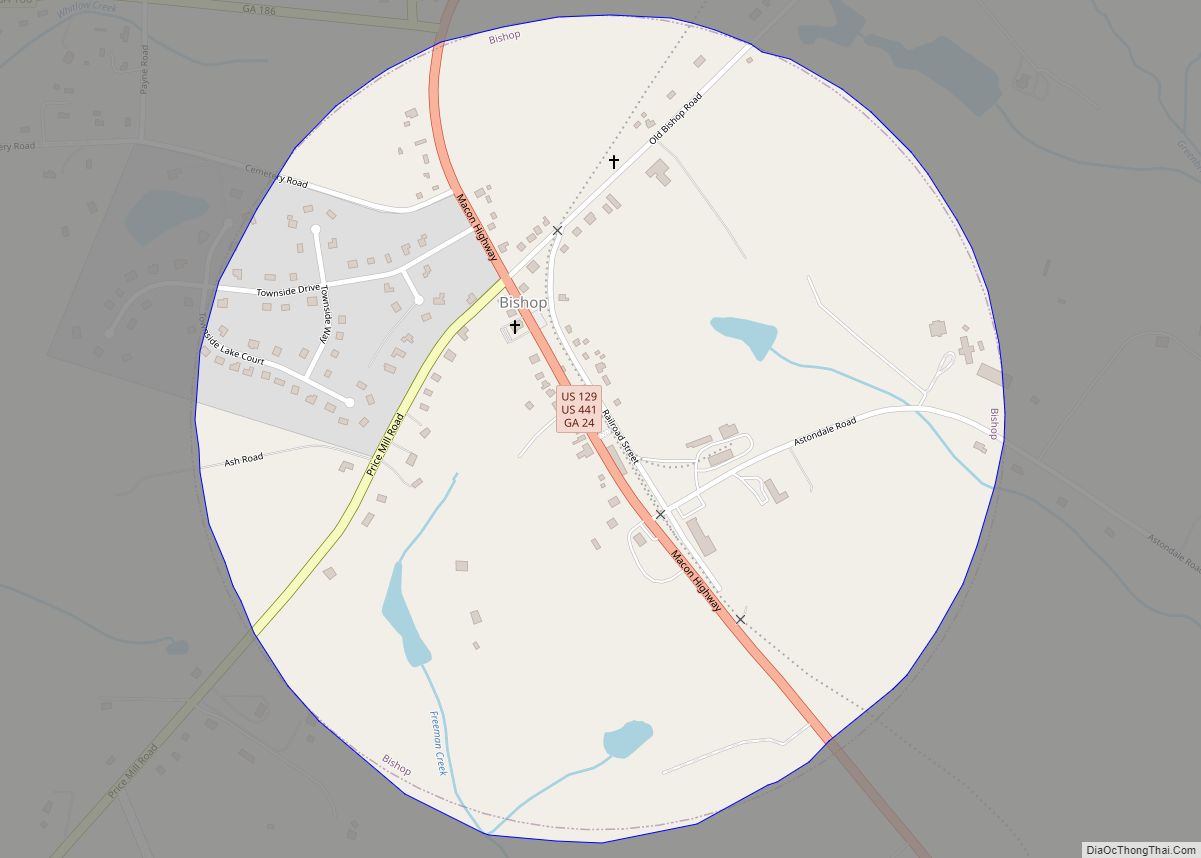
Bishop is a town in Oconee County, Georgia, United States. As of the 2020 census, the city had a population of 332. The town’s historic district was added to the National Register of Historic Places in 1996. Bishop town overview: Name: Bishop town LSAD Code: 43 LSAD Description: town (suffix) State: Georgia County: Oconee County ... Read more
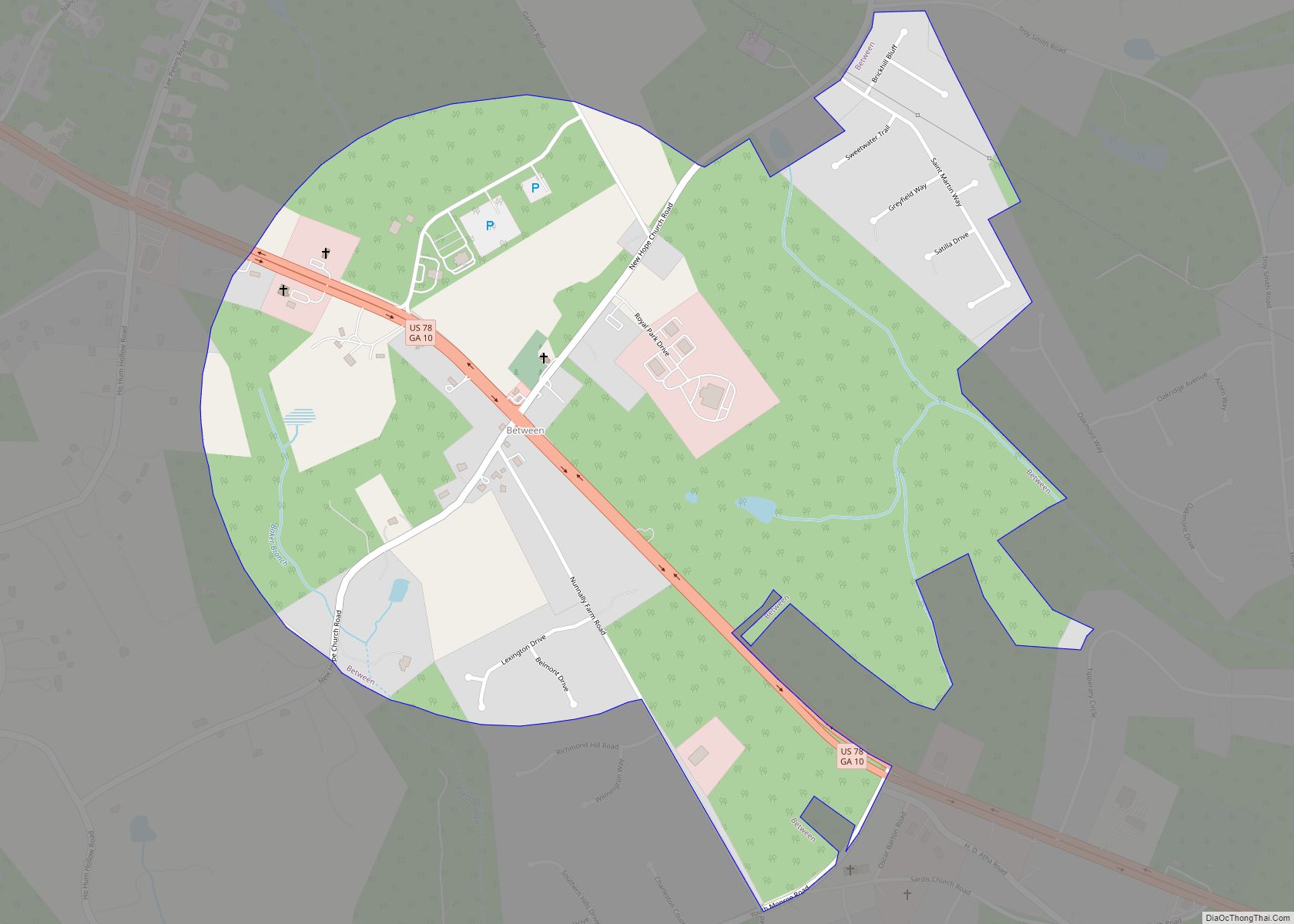
Between is a town in Walton County, Georgia, United States. As of the 2020 census, the city had a population of 402. Between town overview: Name: Between town LSAD Code: 43 LSAD Description: town (suffix) State: Georgia County: Walton County Elevation: 961 ft (293 m) Total Area: 1.19 sq mi (3.07 km²) Land Area: 1.18 sq mi (3.06 km²) Water Area: 0.00 sq mi (0.01 km²) ... Read more
Bethlehem is a town in Barrow County in the U.S. state of Georgia. As of the 2020 census, it had a population of 715. The major employer in town is Harrison Poultry, which is the largest non-government employer in Barrow County. The town was named after a local church, Bethlehem Methodist Church, and has a ... Read more
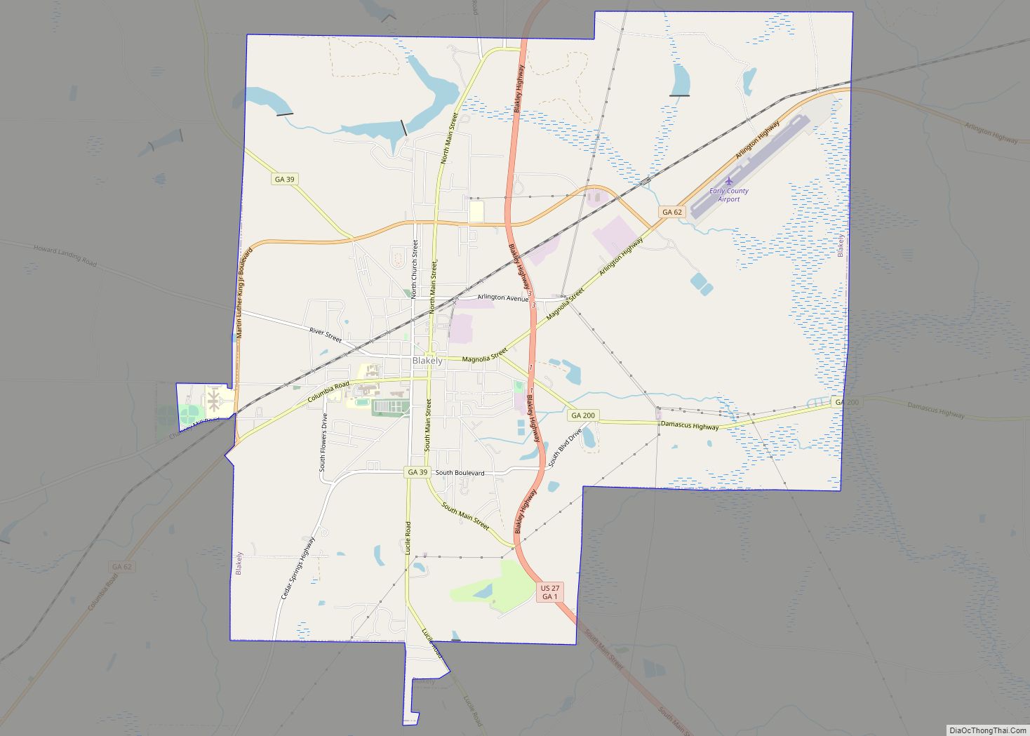
Blakely is a city and the county seat of Early County, Georgia, United States. As of the 2010 census, it had a population of 5,068. It is located approximately halfway between Columbus and Tallahassee, Florida on U.S. Route 27. Blakely city overview: Name: Blakely city LSAD Code: 25 LSAD Description: city (suffix) State: Georgia County: ... Read more
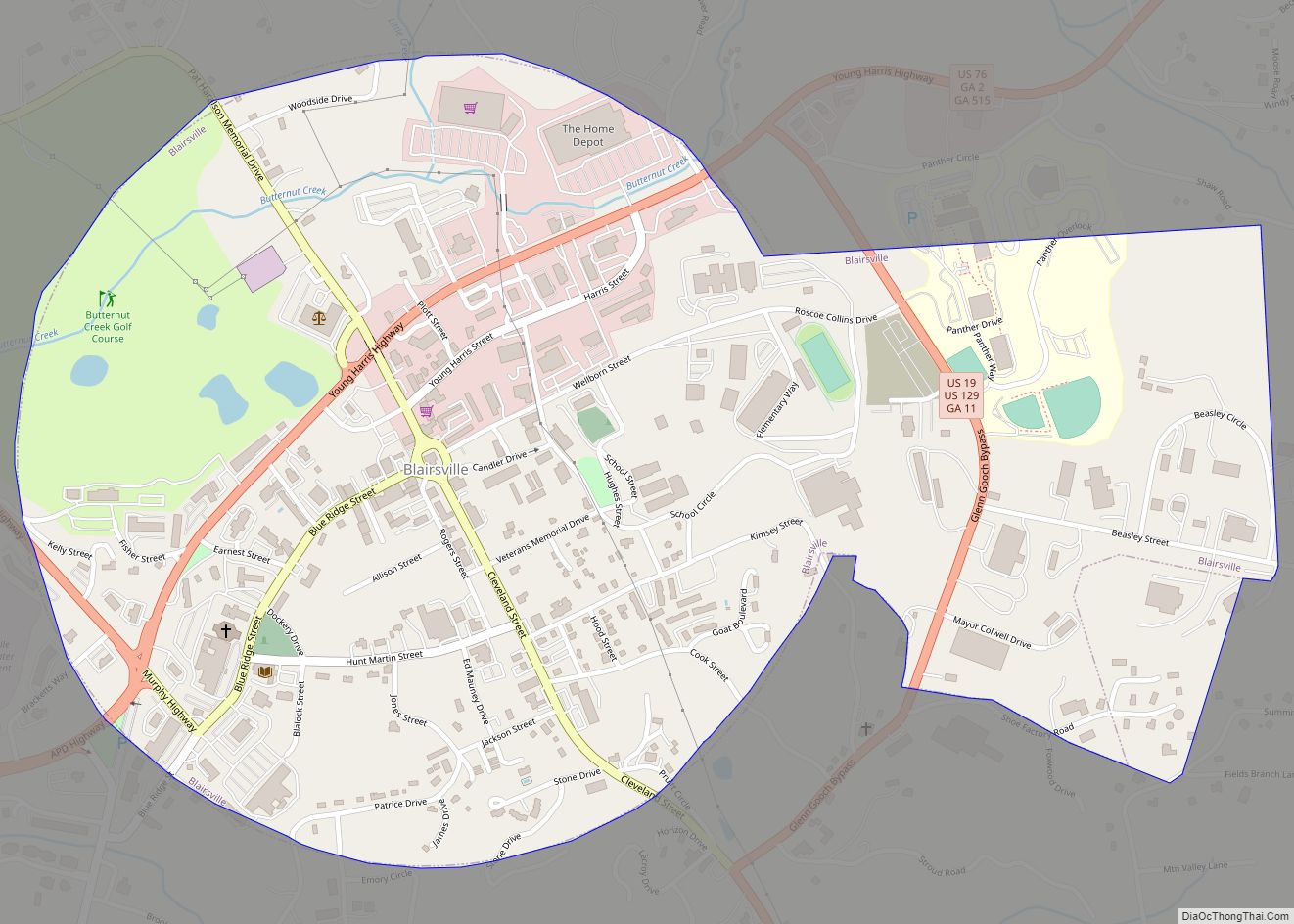
Blairsville is a city and the county seat of Union County, on the northern border of Georgia, United States. It was founded near the Nottely River, which was dammed in 1942 as part of the Tennessee Valley Authority project, forming Lake Nottely. As of the 2020 census, the city had a population of 616. Blairsville ... Read more
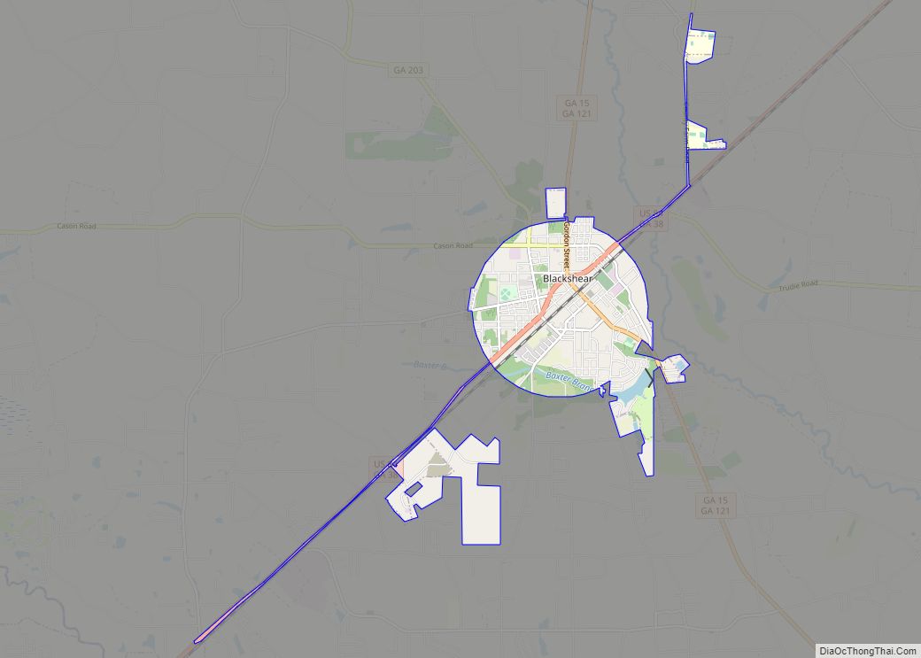
The city of Blackshear is the county seat of Pierce County, Georgia, United States. As of the 2020 census, the city had a population of 3,506. Blackshear is part of the Waycross Micropolitan Statistical Area. Blackshear city overview: Name: Blackshear city LSAD Code: 25 LSAD Description: city (suffix) State: Georgia County: Pierce County Elevation: 112 ft ... Read more
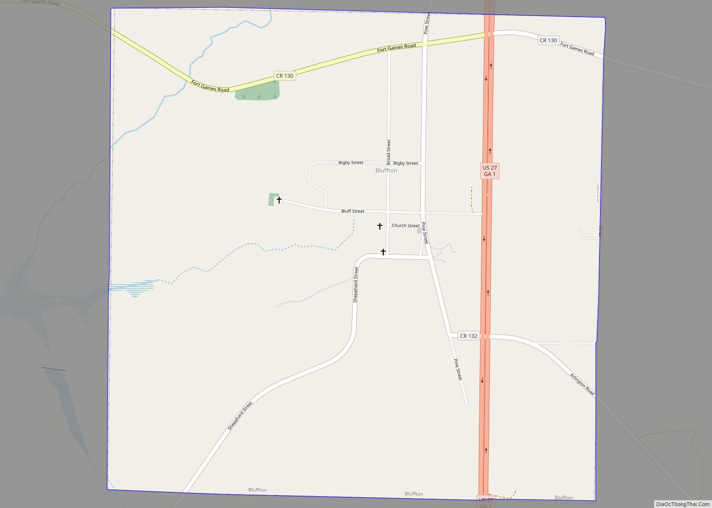
Bluffton is a town in Clay County, Georgia, United States. As of the 2020 census, the city had a population of 113. Bluffton town overview: Name: Bluffton town LSAD Code: 43 LSAD Description: town (suffix) State: Georgia County: Clay County Elevation: 318 ft (97 m) Total Area: 1.61 sq mi (4.16 km²) Land Area: 1.61 sq mi (4.16 km²) Water Area: 0.00 sq mi (0.00 km²) ... Read more
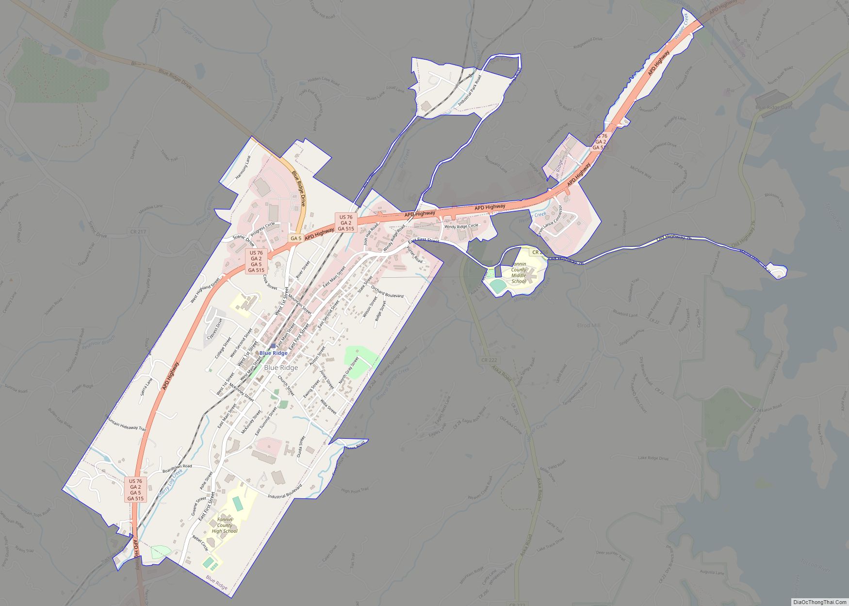
Blue Ridge is a city in Fannin County, Georgia, United States. As of the 2020 census, the city had a population of 1,253. The city is the county seat of Fannin County. Blue Ridge city overview: Name: Blue Ridge city LSAD Code: 25 LSAD Description: city (suffix) State: Georgia County: Fannin County Elevation: 1,762 ft (537 m) ... Read more
