Berkeley Lake is a city in Gwinnett County, Georgia, United States. It is a northern suburb of Atlanta. From its 1956 origins as a summer retreat, Berkeley Lake has grown into a thriving community centered on its 88-acre (360,000 m) namesake lake. As of the 2020 census, the city had a population of 2,054. It has been named a Tree City USA for 18 years.
| Name: | Berkeley Lake city |
|---|---|
| LSAD Code: | 25 |
| LSAD Description: | city (suffix) |
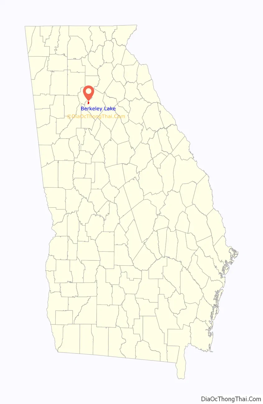
| State: | Georgia |
| County: | Gwinnett County |
| Elevation: | 1,011 ft (308 m) |
| Total Area: | 1.86 sq mi (4.81 km²) |
| Land Area: | 1.75 sq mi (4.52 km²) |
| Water Area: | 0.11 sq mi (0.28 km²) |
| Total Population: | 2,054 |
| Population Density: | 1,175.73/sq mi (453.93/km²) |
| FIPS code: | 1307248 |
| GNISfeature ID: | 2403859 |
| Website: | www.berkeley-lake.com |
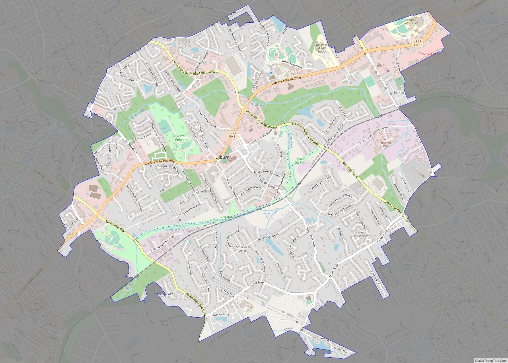
Online Interactive Map
Click on ![]() to view map in "full screen" mode.
to view map in "full screen" mode.
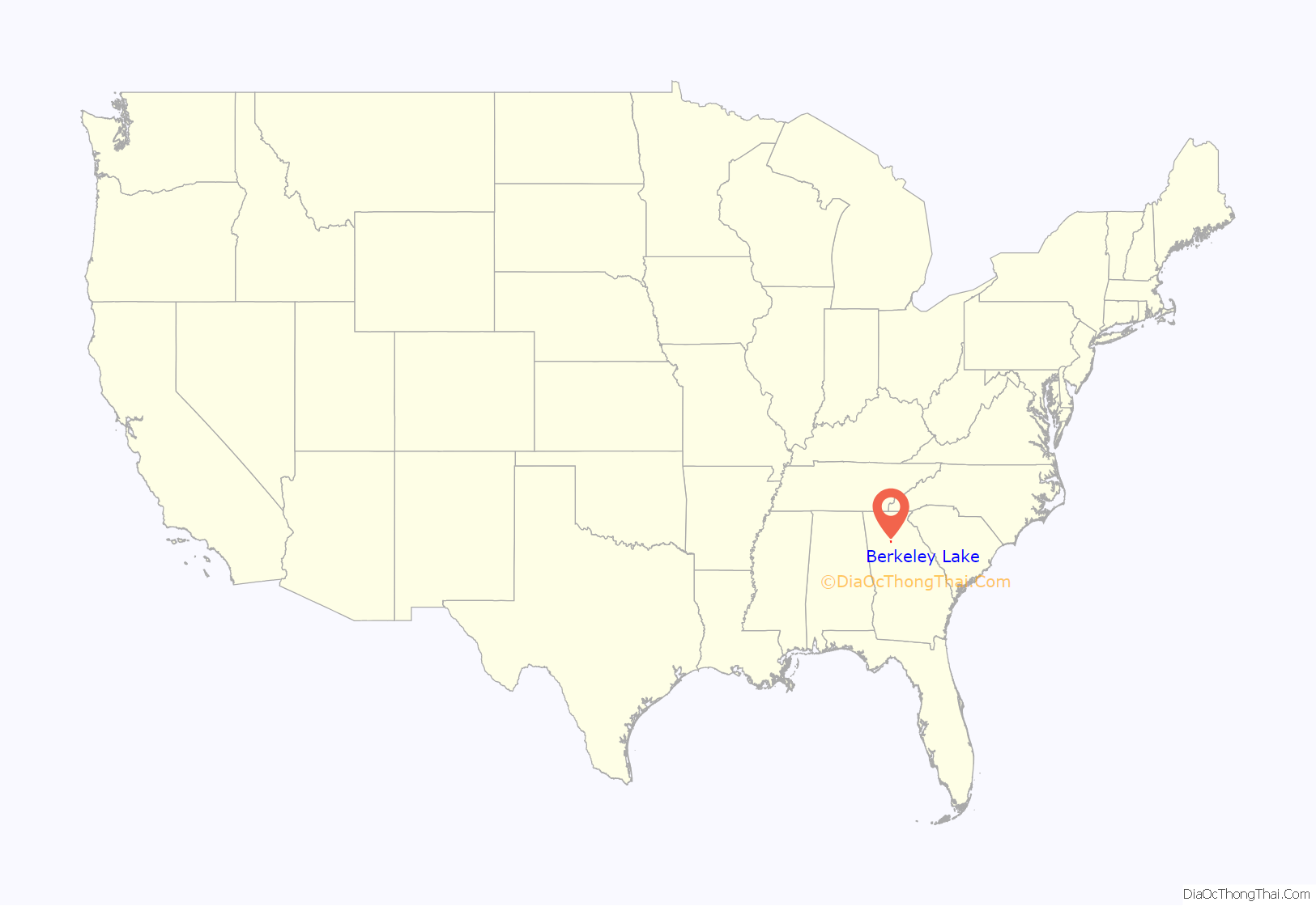
Berkeley Lake location map. Where is Berkeley Lake city?
History
The majority of lands in the city limits (the 700-acre (2.8 km) Berkeley Lake Properties) were developed by Frank Coggins in the late 1940s. The dam, constructed in 1948, is one of the largest earthen dams in the state. The city’s namesake, Lake Berkeley (77 acres (310,000 m)), was named after Mr. Coggins’ Berkeley Blue Granite Quarries in Elberton. In 1950 the Berkeley Lake “subdivision,” which included five reserved Free Pass and Repass tracts (FPR) and the residential and fishing lots around the lake, was laid out. In 1952, Calvin and Kate Parsons, along with John and Dorothy Bagwell, purchased the Berkeley Realty & Investment Company and its 700-acre (2.8 km) property.
For many years, Berkeley Lake was primarily a summer retreat, with an assortment of fishing cottages mingling with a slowly growing number of permanent homes. The health of the lake was guarded by a small, but tenacious, core of residents, each lending their expertise and time.
In 1953, some 25 property owners met and formed the Lake Berkeley Civic Association. Besides zoning and developmental control, there were important needs such as electricity, telephones, and “an all year road” around the lake. This need for benefits that an incorporated city could help secure brought about the creation of its charter, which was approved by the General Assembly of Georgia on March 6, 1956. A new municipality to be known as the City of Berkeley Lake was created in Gwinnett County.
Over the years since the city’s incorporation, a number of ordinances have been passed to protect the character and tranquility of the community. In addition, a comprehensive master plan for future land use and growth was developed and adopted.
Since 1994, five new subdivisions have been added to nearly complete the development of all the land within the city limits. Only two tracts of over 10 acres (40,000 m) remain. In November 1996, residents supported a referendum for the issuance of a bond to be used to purchase one of these tracts, approximately 63 acres (250,000 m) of undeveloped forest land. This property, which provides both buffer and greenspace, was acquired by the city in December 1996. [1]
In 2009, the city received record-breaking rainfall and the Lake Berkeley Dam was damaged. The lake was subsequently drained and, with the help of FEMA, repaired. The Lake Berkeley Dam repairs were completed in 2013, and the lake returned to full pool in 2014.
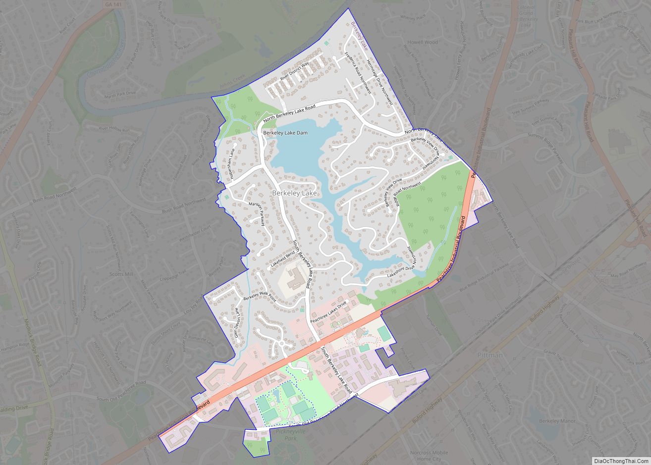
Berkeley Lake Road Map

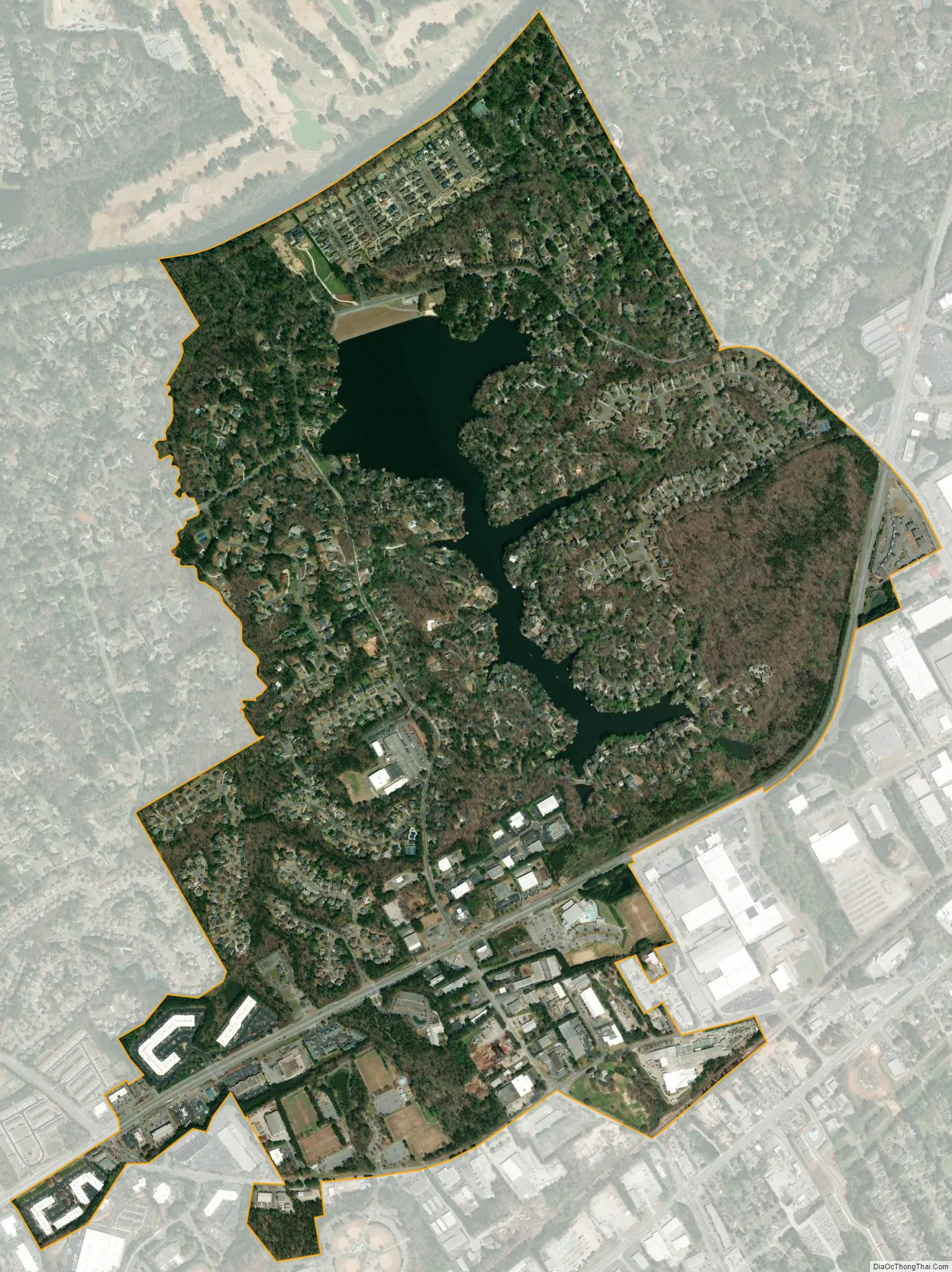
Berkeley Lake city Satellite Map
Geography
Berkeley Lake is in western Gwinnett County, bordered by Duluth to the east, Peachtree Corners to the south and west, and Johns Creek to the north. The northern boundary of the city follows the Chattahoochee River, which is also the Fulton County line. Peachtree Industrial Boulevard is the main road through the city. The community consists of several subdivisions around an 88-acre (360,000 m) private lake.
According to the United States Census Bureau, the city has a total area of 1.2 square miles (3.1 km), of which 1.1 square miles (2.8 km) is land and 0.1 square miles (0.3 km), or 10.14%, is water.
See also
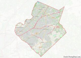
Map of Georgia State and its subdivision:- Appling
- Atkinson
- Bacon
- Baker
- Baldwin
- Banks
- Barrow
- Bartow
- Ben Hill
- Berrien
- Bibb
- Bleckley
- Brantley
- Brooks
- Bryan
- Bulloch
- Burke
- Butts
- Calhoun
- Camden
- Candler
- Carroll
- Catoosa
- Charlton
- Chatham
- Chattahoochee
- Chattooga
- Cherokee
- Clarke
- Clay
- Clayton
- Clinch
- Cobb
- Coffee
- Colquitt
- Columbia
- Cook
- Coweta
- Crawford
- Crisp
- Dade
- Dawson
- Decatur
- DeKalb
- Dodge
- Dooly
- Dougherty
- Douglas
- Early
- Echols
- Effingham
- Elbert
- Emanuel
- Evans
- Fannin
- Fayette
- Floyd
- Forsyth
- Franklin
- Fulton
- Gilmer
- Glascock
- Glynn
- Gordon
- Grady
- Greene
- Gwinnett
- Habersham
- Hall
- Hancock
- Haralson
- Harris
- Hart
- Heard
- Henry
- Houston
- Irwin
- Jackson
- Jasper
- Jeff Davis
- Jefferson
- Jenkins
- Johnson
- Jones
- Lamar
- Lanier
- Laurens
- Lee
- Liberty
- Lincoln
- Long
- Lowndes
- Lumpkin
- Macon
- Madison
- Marion
- McDuffie
- McIntosh
- Meriwether
- Miller
- Mitchell
- Monroe
- Montgomery
- Morgan
- Murray
- Muscogee
- Newton
- Oconee
- Oglethorpe
- Paulding
- Peach
- Pickens
- Pierce
- Pike
- Polk
- Pulaski
- Putnam
- Quitman
- Rabun
- Randolph
- Richmond
- Rockdale
- Schley
- Screven
- Seminole
- Spalding
- Stephens
- Stewart
- Sumter
- Talbot
- Taliaferro
- Tattnall
- Taylor
- Telfair
- Terrell
- Thomas
- Tift
- Toombs
- Towns
- Treutlen
- Troup
- Turner
- Twiggs
- Union
- Upson
- Walker
- Walton
- Ware
- Warren
- Washington
- Wayne
- Webster
- Wheeler
- White
- Whitfield
- Wilcox
- Wilkes
- Wilkinson
- Worth
- Alabama
- Alaska
- Arizona
- Arkansas
- California
- Colorado
- Connecticut
- Delaware
- District of Columbia
- Florida
- Georgia
- Hawaii
- Idaho
- Illinois
- Indiana
- Iowa
- Kansas
- Kentucky
- Louisiana
- Maine
- Maryland
- Massachusetts
- Michigan
- Minnesota
- Mississippi
- Missouri
- Montana
- Nebraska
- Nevada
- New Hampshire
- New Jersey
- New Mexico
- New York
- North Carolina
- North Dakota
- Ohio
- Oklahoma
- Oregon
- Pennsylvania
- Rhode Island
- South Carolina
- South Dakota
- Tennessee
- Texas
- Utah
- Vermont
- Virginia
- Washington
- West Virginia
- Wisconsin
- Wyoming