Blue Ridge is a city in Fannin County, Georgia, United States. As of the 2020 census, the city had a population of 1,253. The city is the county seat of Fannin County.
| Name: | Blue Ridge city |
|---|---|
| LSAD Code: | 25 |
| LSAD Description: | city (suffix) |
| State: | Georgia |
| County: | Fannin County |
| Elevation: | 1,762 ft (537 m) |
| Total Area: | 2.68 sq mi (6.93 km²) |
| Land Area: | 2.68 sq mi (6.93 km²) |
| Water Area: | 0.00 sq mi (0.00 km²) |
| Total Population: | 1,253 |
| Population Density: | 468.06/sq mi (180.73/km²) |
| ZIP code: | 30513 |
| FIPS code: | 1308928 |
| GNISfeature ID: | 0331197 |
| Website: | www.cityofblueridgega.gov |
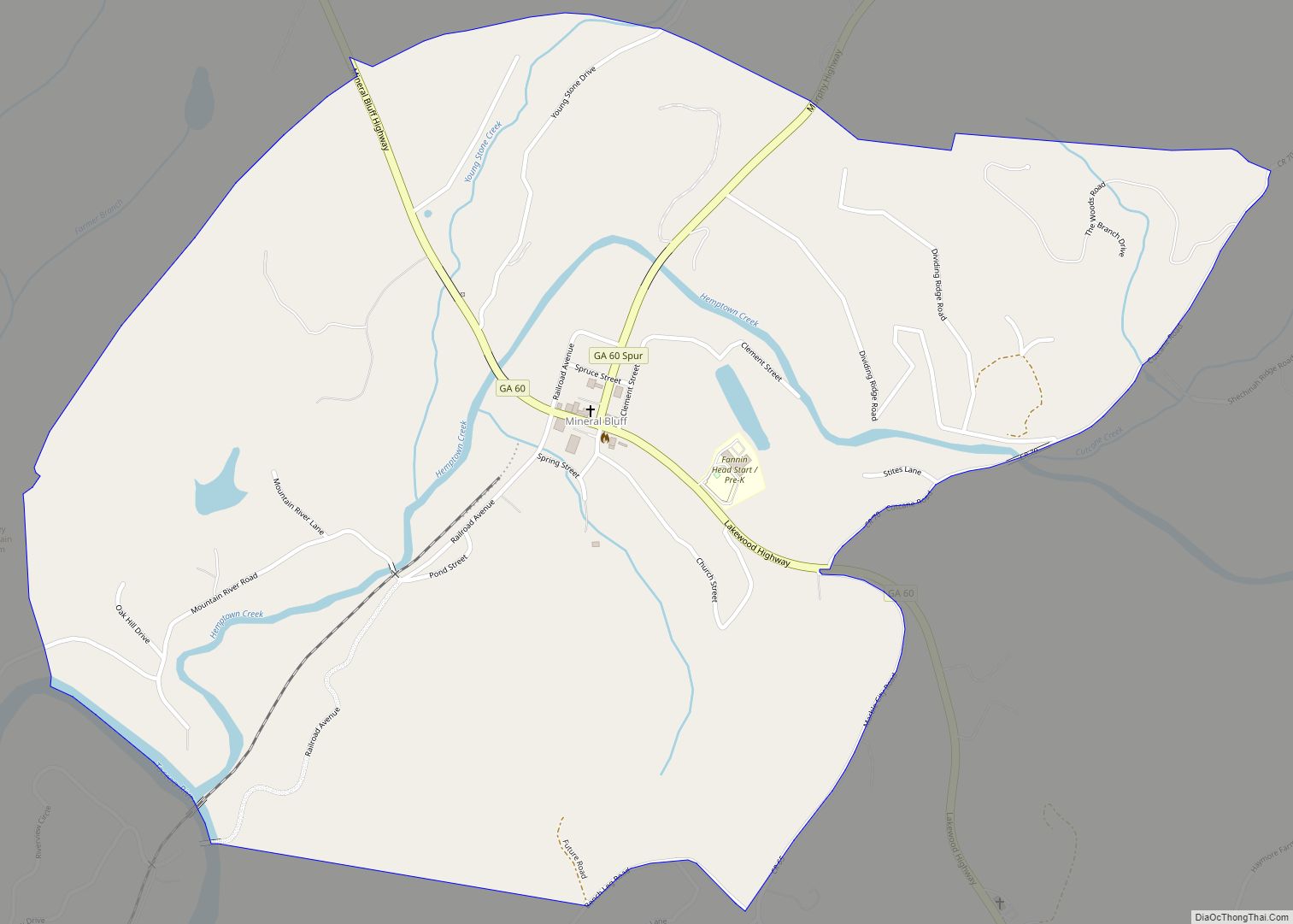
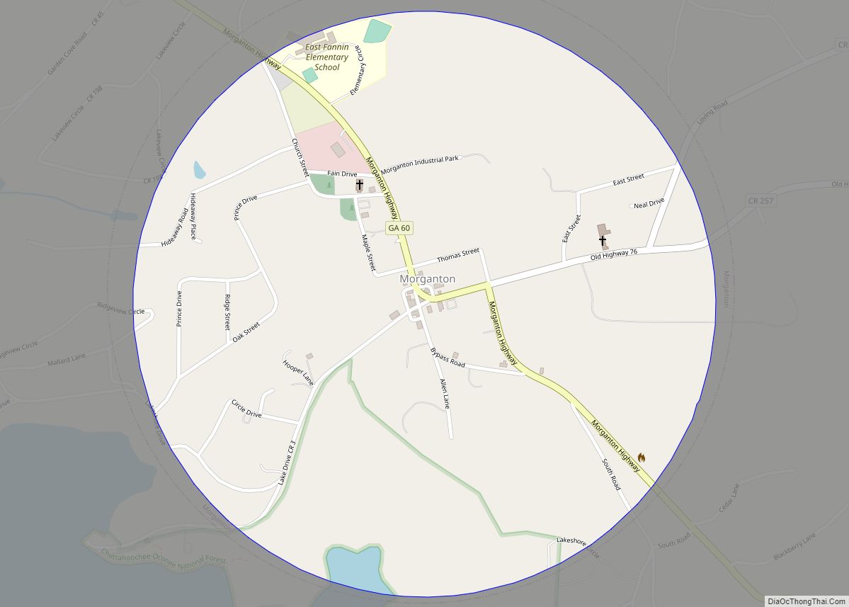
Online Interactive Map
Click on ![]() to view map in "full screen" mode.
to view map in "full screen" mode.
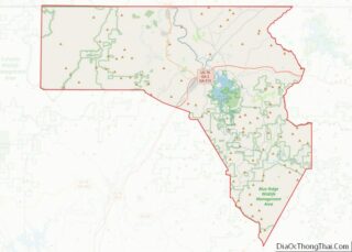
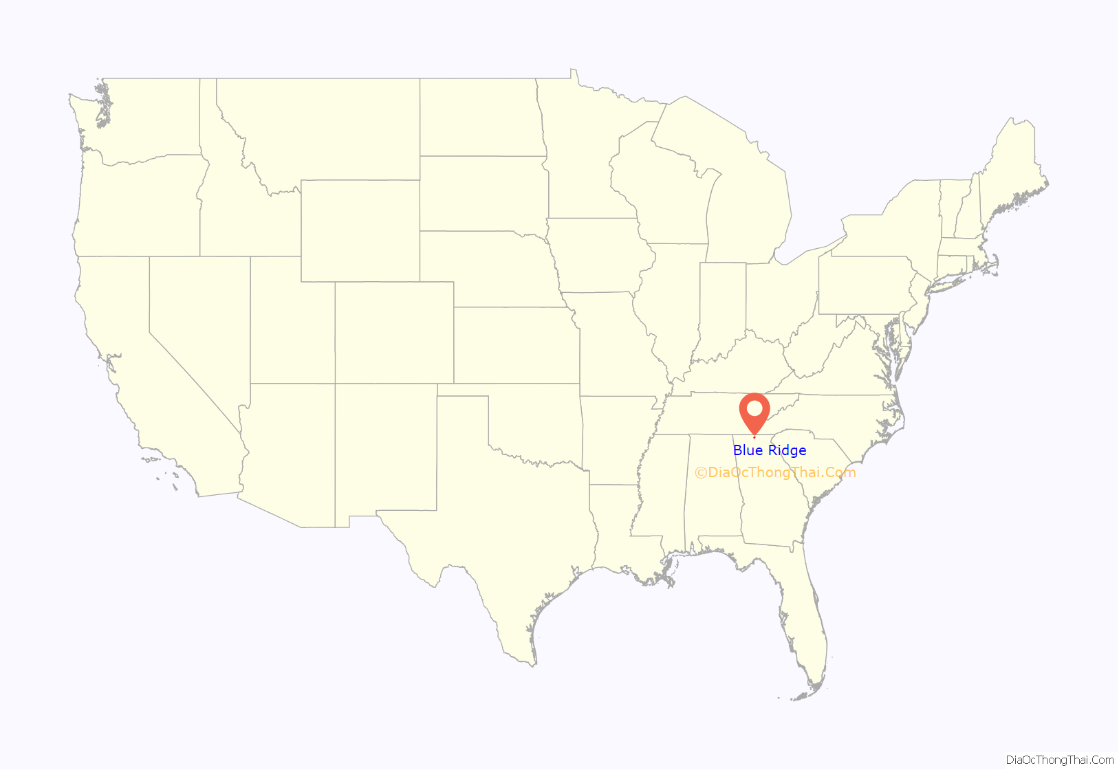
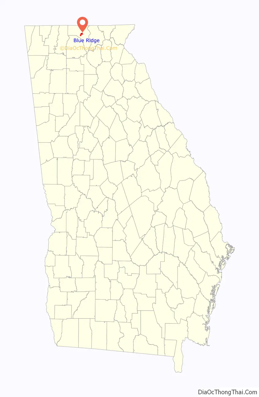
Blue Ridge location map. Where is Blue Ridge city?
History
Prior to European colonization, the area that is now Blue Ridge was inhabited by the Cherokee people and other Indigenous peoples for thousands of years.
Blue Ridge was laid out in 1886 when the Marietta and North Georgia Railroad was extended to that point. It was incorporated in 1887. In 1895, the seat of Fannin County was transferred to Blue Ridge from Morganton.
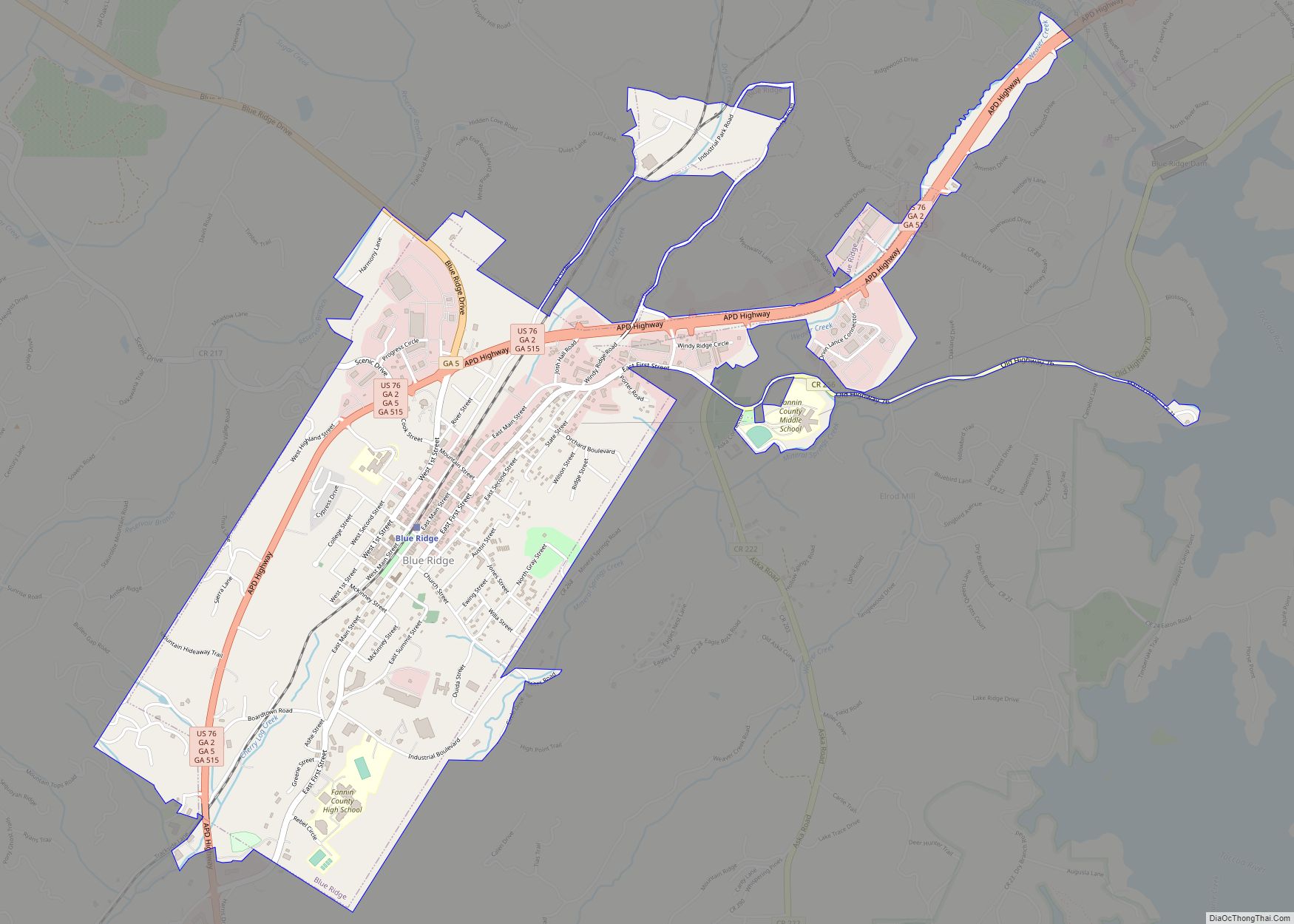
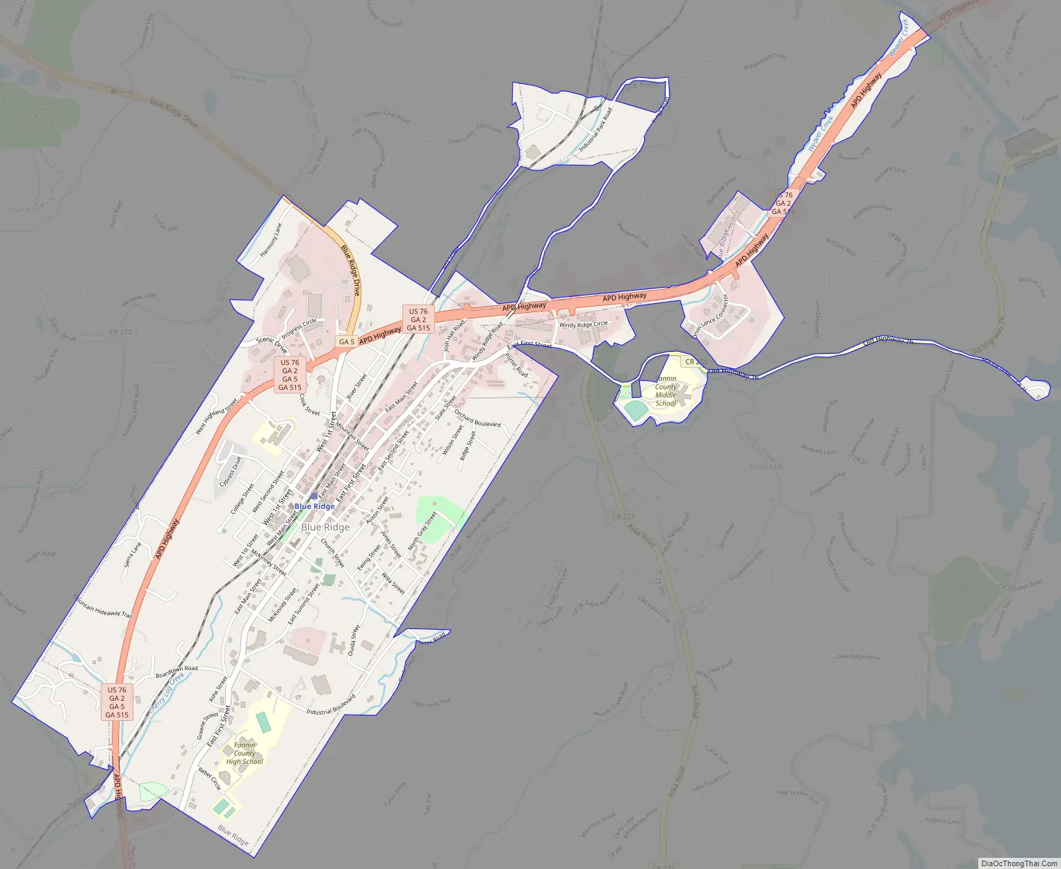
Blue Ridge Road Map
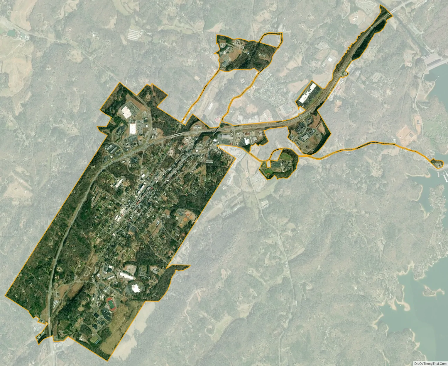
Blue Ridge city Satellite Map
Geography
The city of Blue Ridge is located south of the center of Fannin County at 34°52′6″N 84°19′16″W / 34.86833°N 84.32111°W / 34.86833; -84.32111 (34.868344, -84.320991). The city sits on the divide between the Tennessee River watershed to the north (via the Toccoa River) and the Alabama River to the south (via Crooked Log Creek, the Ellijay River, and several downstream rivers).
U.S. Route 76 and Georgia State Route 515 (Zell Miller Mountain Parkway) pass through the west side of the city, leading east 22 miles (35 km) to Blairsville and southwest 15 miles (24 km) to Ellijay. Georgia State Route 5 leads north from Blue Ridge 10 miles (16 km) to McCaysville at the Tennessee line. Atlanta is 93 miles (150 km) to the south via GA-5/515.
According to the United States Census Bureau, the city has a total area of 2.4 square miles (6.2 km), all land.
Climate
See also
Map of Georgia State and its subdivision:- Appling
- Atkinson
- Bacon
- Baker
- Baldwin
- Banks
- Barrow
- Bartow
- Ben Hill
- Berrien
- Bibb
- Bleckley
- Brantley
- Brooks
- Bryan
- Bulloch
- Burke
- Butts
- Calhoun
- Camden
- Candler
- Carroll
- Catoosa
- Charlton
- Chatham
- Chattahoochee
- Chattooga
- Cherokee
- Clarke
- Clay
- Clayton
- Clinch
- Cobb
- Coffee
- Colquitt
- Columbia
- Cook
- Coweta
- Crawford
- Crisp
- Dade
- Dawson
- Decatur
- DeKalb
- Dodge
- Dooly
- Dougherty
- Douglas
- Early
- Echols
- Effingham
- Elbert
- Emanuel
- Evans
- Fannin
- Fayette
- Floyd
- Forsyth
- Franklin
- Fulton
- Gilmer
- Glascock
- Glynn
- Gordon
- Grady
- Greene
- Gwinnett
- Habersham
- Hall
- Hancock
- Haralson
- Harris
- Hart
- Heard
- Henry
- Houston
- Irwin
- Jackson
- Jasper
- Jeff Davis
- Jefferson
- Jenkins
- Johnson
- Jones
- Lamar
- Lanier
- Laurens
- Lee
- Liberty
- Lincoln
- Long
- Lowndes
- Lumpkin
- Macon
- Madison
- Marion
- McDuffie
- McIntosh
- Meriwether
- Miller
- Mitchell
- Monroe
- Montgomery
- Morgan
- Murray
- Muscogee
- Newton
- Oconee
- Oglethorpe
- Paulding
- Peach
- Pickens
- Pierce
- Pike
- Polk
- Pulaski
- Putnam
- Quitman
- Rabun
- Randolph
- Richmond
- Rockdale
- Schley
- Screven
- Seminole
- Spalding
- Stephens
- Stewart
- Sumter
- Talbot
- Taliaferro
- Tattnall
- Taylor
- Telfair
- Terrell
- Thomas
- Tift
- Toombs
- Towns
- Treutlen
- Troup
- Turner
- Twiggs
- Union
- Upson
- Walker
- Walton
- Ware
- Warren
- Washington
- Wayne
- Webster
- Wheeler
- White
- Whitfield
- Wilcox
- Wilkes
- Wilkinson
- Worth
- Alabama
- Alaska
- Arizona
- Arkansas
- California
- Colorado
- Connecticut
- Delaware
- District of Columbia
- Florida
- Georgia
- Hawaii
- Idaho
- Illinois
- Indiana
- Iowa
- Kansas
- Kentucky
- Louisiana
- Maine
- Maryland
- Massachusetts
- Michigan
- Minnesota
- Mississippi
- Missouri
- Montana
- Nebraska
- Nevada
- New Hampshire
- New Jersey
- New Mexico
- New York
- North Carolina
- North Dakota
- Ohio
- Oklahoma
- Oregon
- Pennsylvania
- Rhode Island
- South Carolina
- South Dakota
- Tennessee
- Texas
- Utah
- Vermont
- Virginia
- Washington
- West Virginia
- Wisconsin
- Wyoming