Map of Kamiah city

Map of Kamiah city

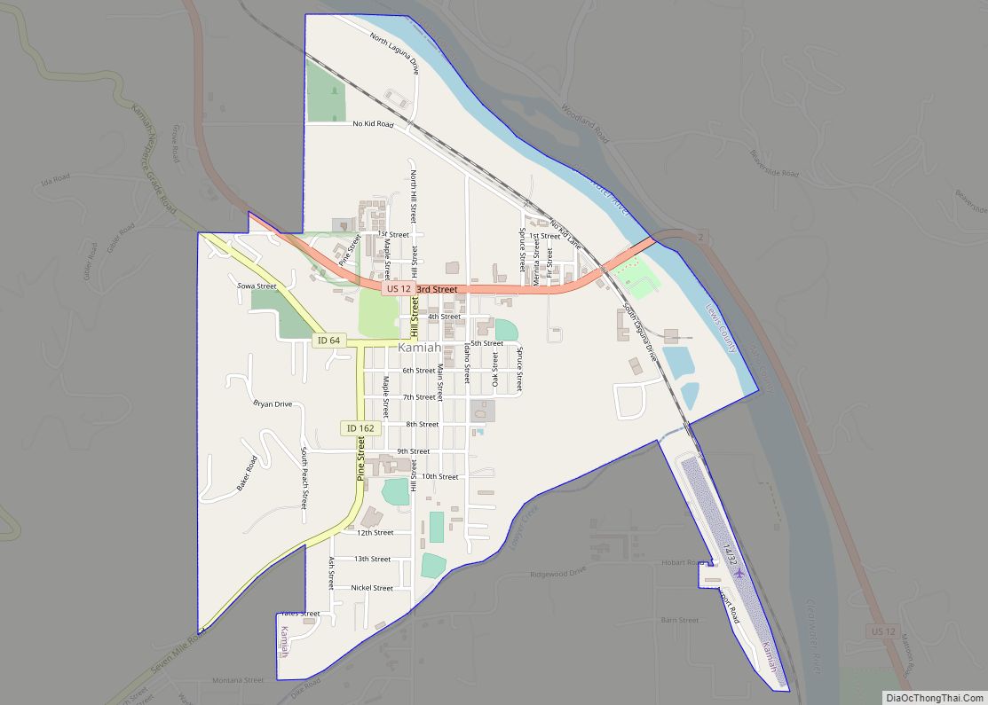
Kamiah (/ˈkæmi.aɪ/ (listen) KAM-ee-eye) is a city in Lewis and Idaho counties in the U.S. state of Idaho. The largest city in Lewis County, it extends only a small distance into Idaho County, south of Lawyer Creek. The population was 1,295 at the 2010 census, up from 1,160 in 2000. The city lies in the … Read more

Map of Kooskia city

Map of Kooskia city

Kooskia (/ˈkuːskiː/ KOO-skee) is a city in Idaho County, Idaho, United States. It is at the confluence of the South and Middle forks of the Clearwater River, combining to become the main river. The population was 607 at the 2010 census, down from 675 in 2000. Kooskia city overview: Name: Kooskia city LSAD Code: 25 … Read more

Map of Kimberly city, Idaho

Map of Kimberly city, Idaho

Kimberly is a city in Twin Falls County, Idaho, United States. The population was 3,264 at the 2010 census, up from 2,614 in 2000. It is part of the Twin Falls Metropolitan Statistical Area. Kimberly was founded in 1905. It is named after Peter L. Kimberly, a major investor in the construction of Milner Dam … Read more

Map of Ketchum city

Map of Ketchum city, Idaho

Ketchum is a city in Blaine County, Idaho, located in the central part of the state. The population was 3,555 at the 2020 census, up from 2,689 in 2010. Located in the Wood River Valley, Ketchum is adjacent to Sun Valley and the communities share many resources: both sit in the same valley beneath Bald … Read more

Map of Kuna city

Map of Kuna city

Kuna (/ˈkjuːnə/ KYOO-nə) is a city in Ada County, Idaho. It is part of the Boise metropolitan area. The population was 24,011 at the time of the 2020 census. Kuna is one of the fastest-growing areas in Idaho, having nearly tripled in population between 2000 and 2010 and a nearly additional 60 percent gain between … Read more

Map of Kootenai city

Map of Kootenai city

Kootenai is a city in Bonner County, Idaho. The population was 678 at the 2010 census. Kootenai city overview: Name: Kootenai city LSAD Code: 25 LSAD Description: city (suffix) State: Idaho County: Bonner County Elevation: 2,116 ft (645 m) Total Area: 0.56 sq mi (1.45 km²) Land Area: 0.56 sq mi (1.45 km²) Water Area: 0.00 sq mi (0.00 km²) Total Population: 678 Population Density: 1,743.32/sq mi … Read more

Map of Lapwai city

Map of Lapwai city

Lapwai is a city in the northwest United States, in Nez Perce County, Idaho. Its population was 1,137 at the 2010 census, and it is the seat of government of the Nez Perce Indian Reservation. Lapwai actually means “The land of the butterflies” Lapwai city overview: Name: Lapwai city LSAD Code: 25 LSAD Description: city … Read more

Map of Lewiston city, Idaho

Map of Lewiston city, Idaho

Lewiston is a city and the county seat of Nez Perce County, Idaho, United States, in the state’s north central region. It is the second-largest city in the northern Idaho region, behind Coeur d’Alene, and ninth-largest in the state. Lewiston is the principal city of the Lewiston, ID-WA Metropolitan Statistical Area, which includes all of … Read more

Map of Leadore city

Map of Leadore city

Leadore is an incorporated small town in Lemhi County, Idaho, United States. The population was 105 at the 2010 census. Leadore city overview: Name: Leadore city LSAD Code: 25 LSAD Description: city (suffix) State: Idaho County: Lemhi County Elevation: 5,971 ft (1,820 m) Total Area: 0.31 sq mi (0.80 km²) Land Area: 0.31 sq mi (0.80 km²) Water Area: 0.00 sq mi (0.00 km²) Total Population: … Read more

Map of Lava Hot Springs city

Map of Lava Hot Springs city

Lava Hot Springs is a city along the Portneuf River in eastern Bannock County, Idaho, United States. It is part of the Pocatello, Idaho metropolitan area. The population was 407 at the 2010 census, down from 521 in 2000. Located in the mountainous valley of the Portneuf River on the old route of the Oregon … Read more

Map of Lost River city

Map of Lost River city

Lost River is a city in Custer County, Idaho, United States. The population was 68 persons at the 2010 census. Lost River city overview: Name: Lost River city LSAD Code: 25 LSAD Description: city (suffix) State: Idaho County: Custer County Total Area: 8.70 sq mi (22.53 km²) Land Area: 8.69 sq mi (22.51 km²) Water Area: 0.01 sq mi (0.03 km²) Total Population: 68 … Read more

Map of Lincoln CDP, Idaho

Map of Lincoln CDP, Idaho

Lincoln is a census-designated place in Bonneville County, Idaho located just east of Idaho Falls, southwest of Iona and north of Ammon. As of the 2010 census, its population was 3,647. Lincoln has an area of 1.465 square miles (3.79 km), all of it land. Lincoln as a separate place came into being when a school … Read more