Leadore is an incorporated small town in Lemhi County, Idaho, United States. The population was 105 at the 2010 census.
| Name: | Leadore city |
|---|---|
| LSAD Code: | 25 |
| LSAD Description: | city (suffix) |
| State: | Idaho |
| County: | Lemhi County |
| Elevation: | 5,971 ft (1,820 m) |
| Total Area: | 0.31 sq mi (0.80 km²) |
| Land Area: | 0.31 sq mi (0.80 km²) |
| Water Area: | 0.00 sq mi (0.00 km²) |
| Total Population: | 105 |
| Population Density: | 343.04/sq mi (132.62/km²) |
| ZIP code: | 83464 |
| Area code: | 208 |
| FIPS code: | 1645910 |
| GNISfeature ID: | 0396775 |
Online Interactive Map
Click on ![]() to view map in "full screen" mode.
to view map in "full screen" mode.
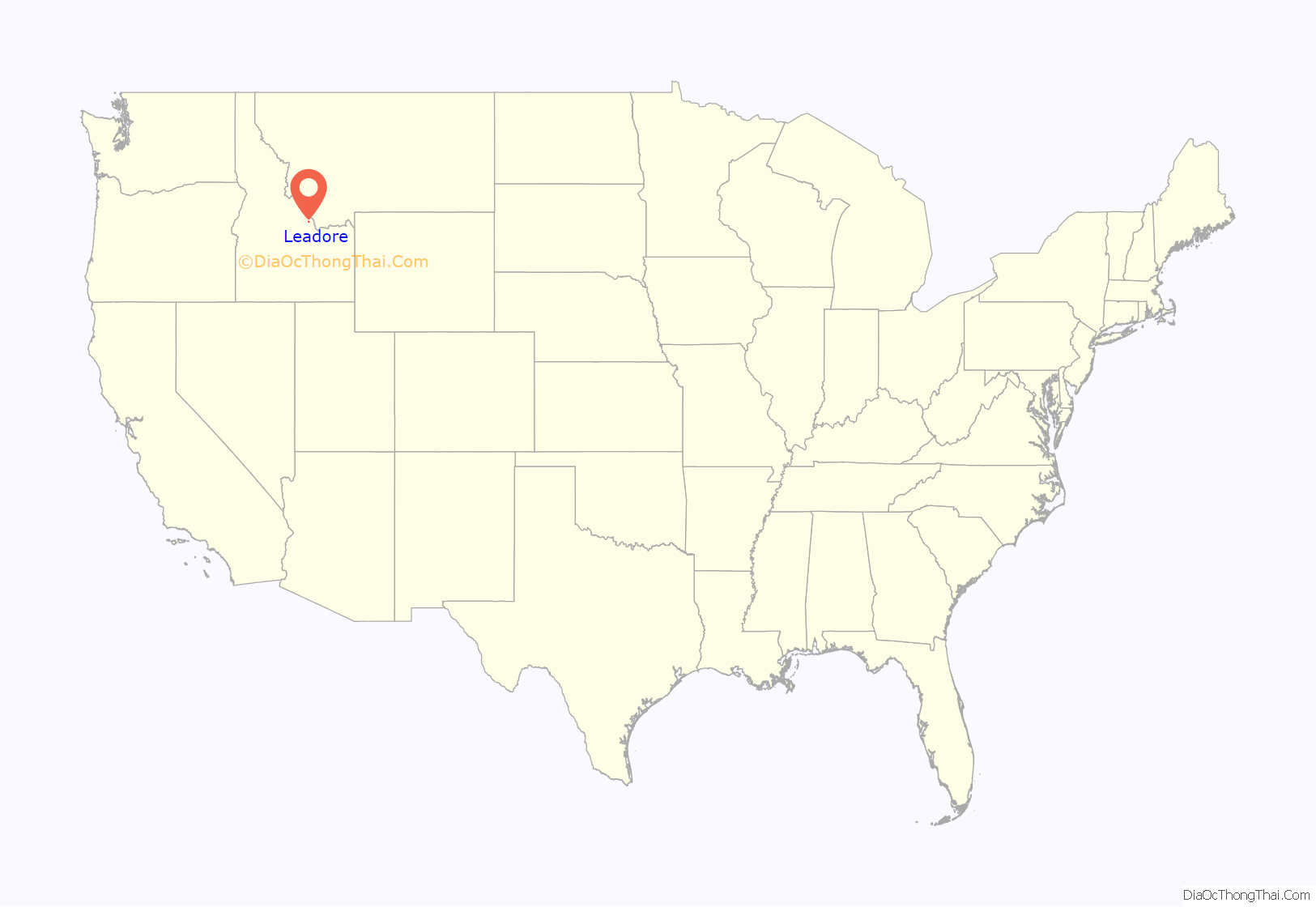
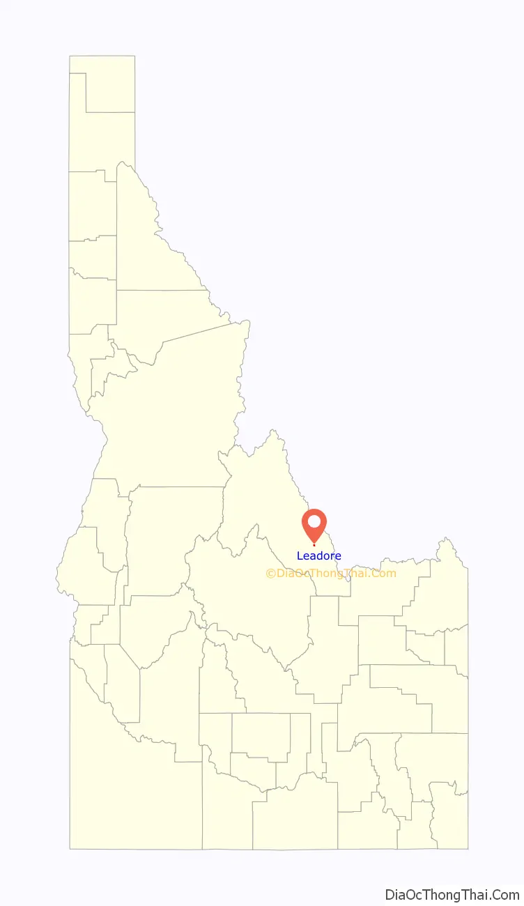
Leadore location map. Where is Leadore city?
History
The town of Leadore dates from 1910, when the Gilmore and Pittsburgh Railroad was constructed from Armstead, Montana, over Bannock Pass and into the Lemhi Valley. This occurred because the original location for the train station in the town of Junction had to be altered when the owner of the land refused to sell. The town was home to the railroad’s repair shops, and was the point where the railroad’s branch line to Gilmore connected with the main line. Though the railroad ceased operating in 1939, Leadore has remained the largest town in the immediate area.
In 2001 a replica of the town’s old railway station was constructed in Leadore. The new building serves as the town’s community center.
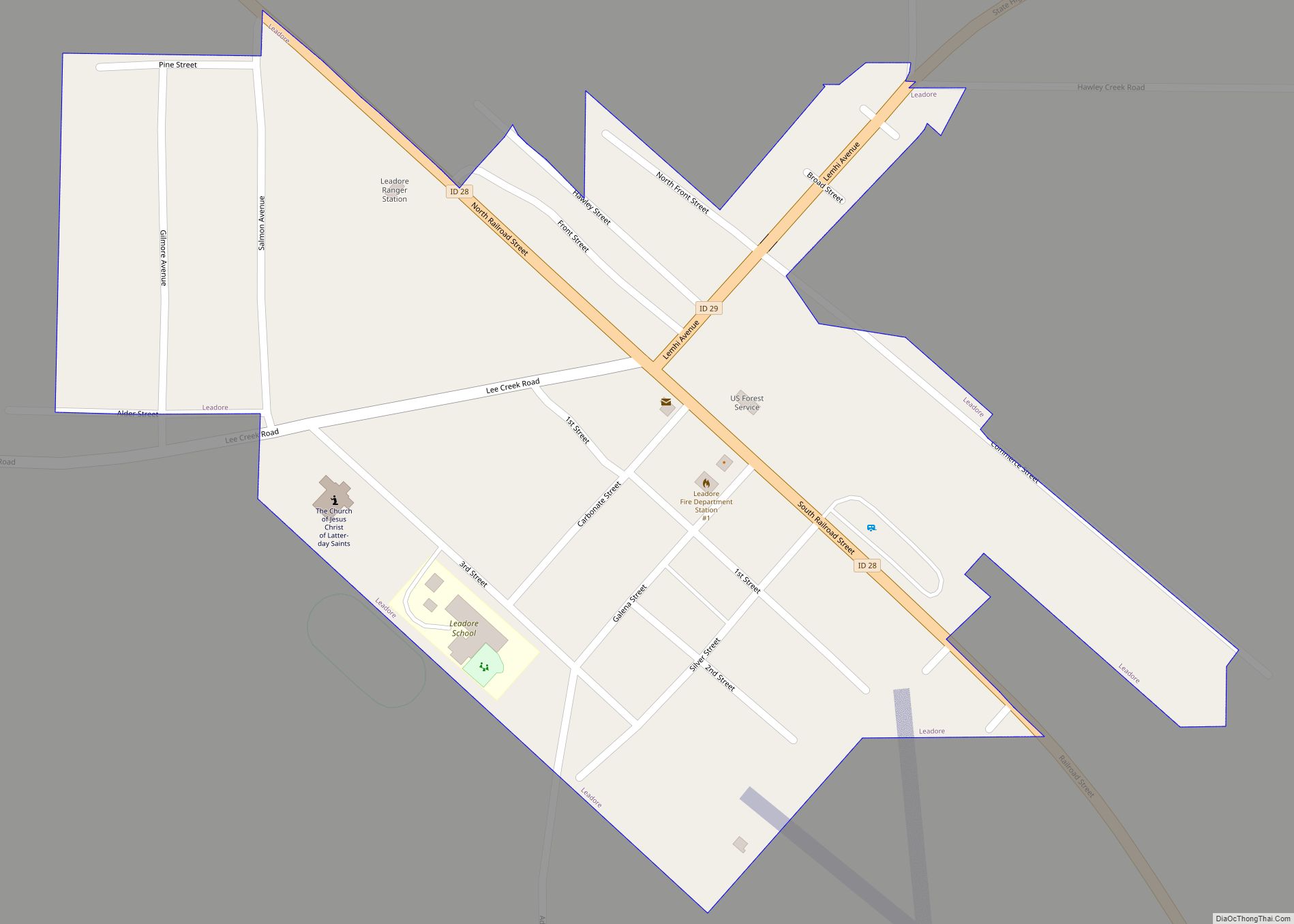
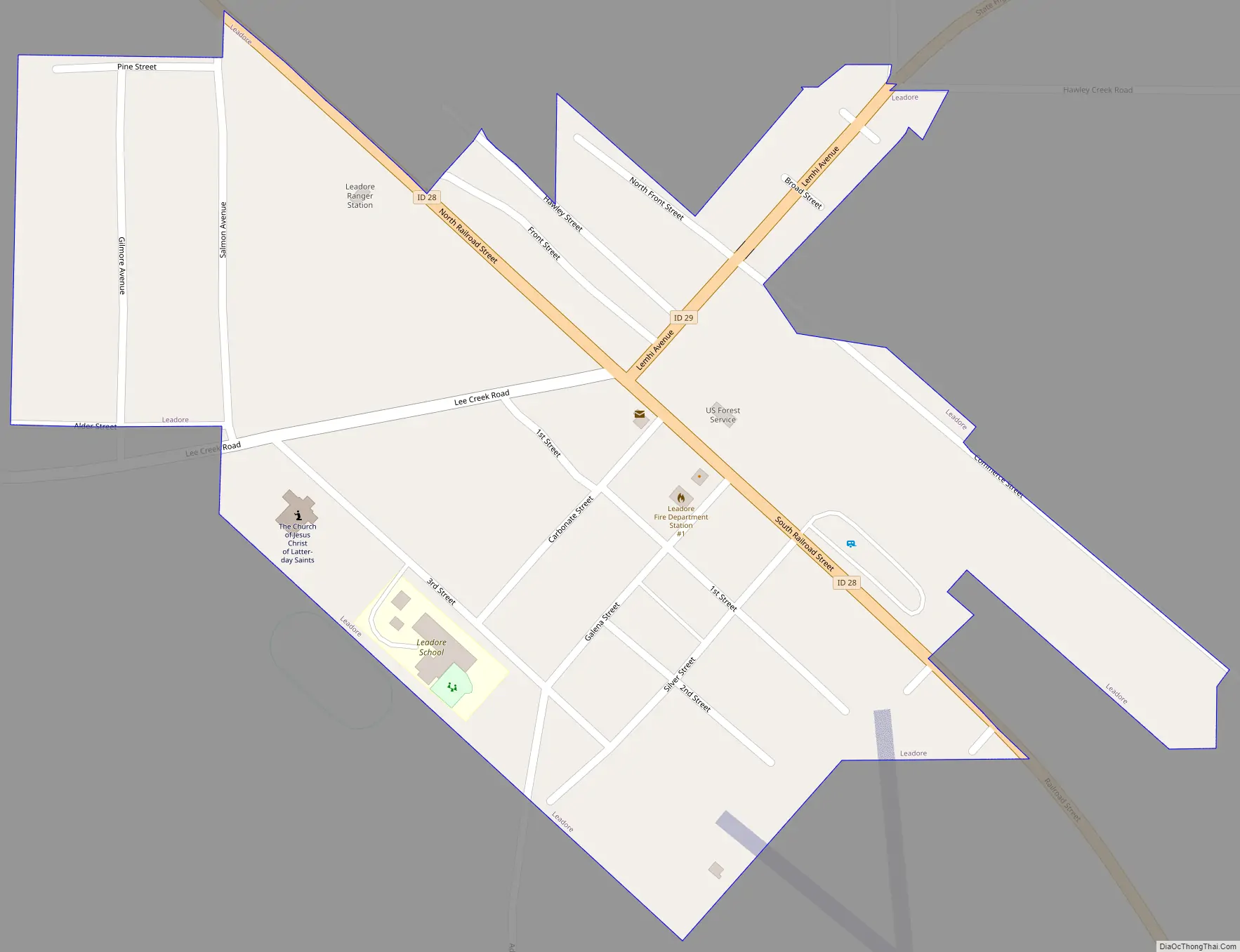
Leadore Road Map
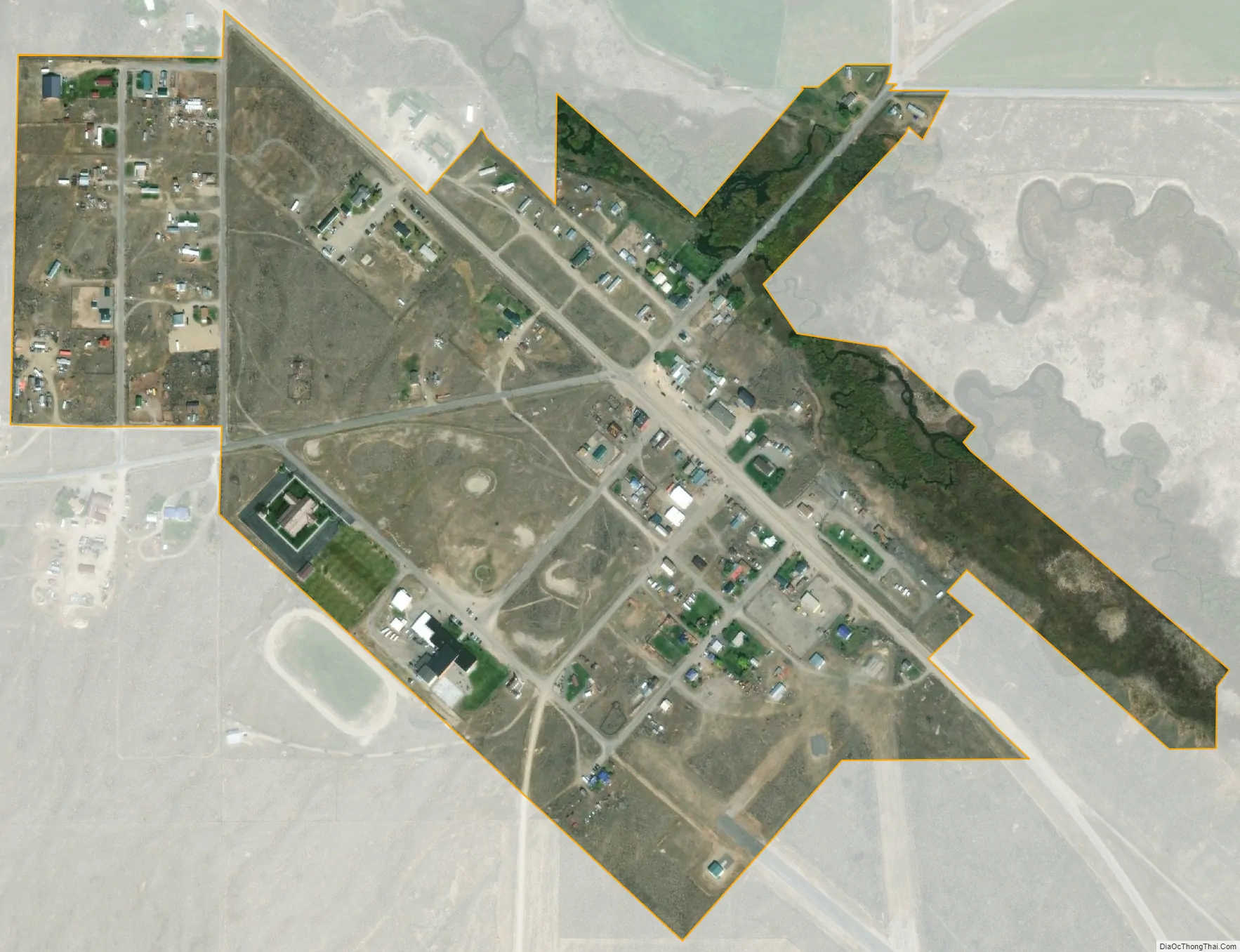
Leadore city Satellite Map
Geography
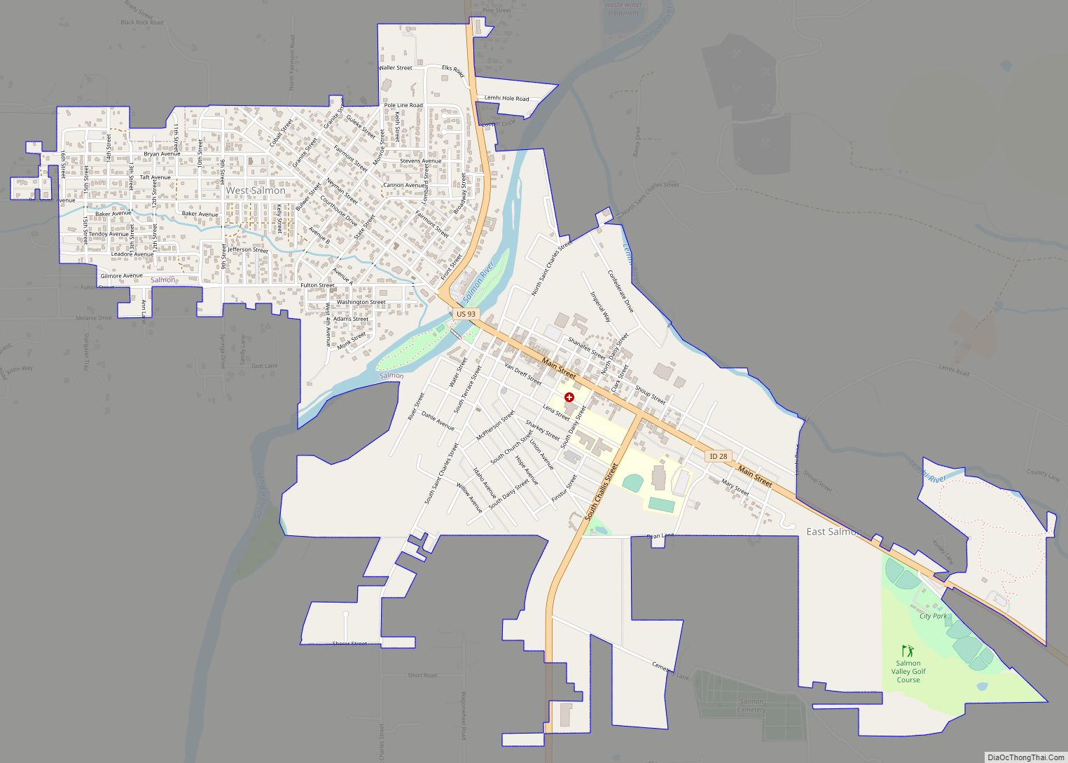
Leadore is located in southeastern Lemhi County at 44°40′47″N 113°21′38″W / 44.67972°N 113.36056°W / 44.67972; -113.36056 (44.679604, -113.360664), in the Lemhi Valley. The Lemhi River flows through the northeast side of the city, running northwest to join the Salmon River at Salmon, Idaho.
Idaho State Highway 28 (Railroad Street) passes through the center of Leadore, leading northwest 45 miles (72 km) to Salmon, the county seat, and southeast 90 miles (140 km) to Interstate 15 at Sage Junction. Idaho State Highway 29 leads northeast from Leadore 13 miles (21 km) to the Montana state line at Bannock Pass on the Continental Divide. Montana Secondary Highway 324 continues northeast from Bannock Pass to join Interstate 15 at Clark Canyon Dam, 48 miles (77 km) northeast of Leadore.
According to the United States Census Bureau, Leadore has a total area of 0.31 square miles (0.80 km), all of it land.
See also
Map of Idaho State and its subdivision:- Ada
- Adams
- Bannock
- Bear Lake
- Benewah
- Bingham
- Blaine
- Boise
- Bonner
- Bonneville
- Boundary
- Butte
- Camas
- Canyon
- Caribou
- Cassia
- Clark
- Clearwater
- Custer
- Elmore
- Franklin
- Fremont
- Gem
- Gooding
- Idaho
- Jefferson
- Jerome
- Kootenai
- Latah
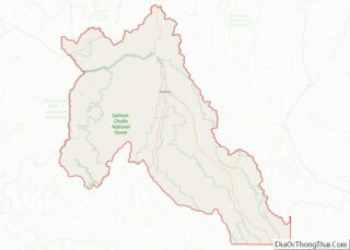
- Lemhi
- Lewis
- Lincoln
- Madison
- Minidoka
- Nez Perce
- Oneida
- Owyhee
- Payette
- Power
- Shoshone
- Teton
- Twin Falls
- Valley
- Washington
- Alabama
- Alaska
- Arizona
- Arkansas
- California
- Colorado
- Connecticut
- Delaware
- District of Columbia
- Florida
- Georgia
- Hawaii
- Idaho
- Illinois
- Indiana
- Iowa
- Kansas
- Kentucky
- Louisiana
- Maine
- Maryland
- Massachusetts
- Michigan
- Minnesota
- Mississippi
- Missouri
- Montana
- Nebraska
- Nevada
- New Hampshire
- New Jersey
- New Mexico
- New York
- North Carolina
- North Dakota
- Ohio
- Oklahoma
- Oregon
- Pennsylvania
- Rhode Island
- South Carolina
- South Dakota
- Tennessee
- Texas
- Utah
- Vermont
- Virginia
- Washington
- West Virginia
- Wisconsin
- Wyoming