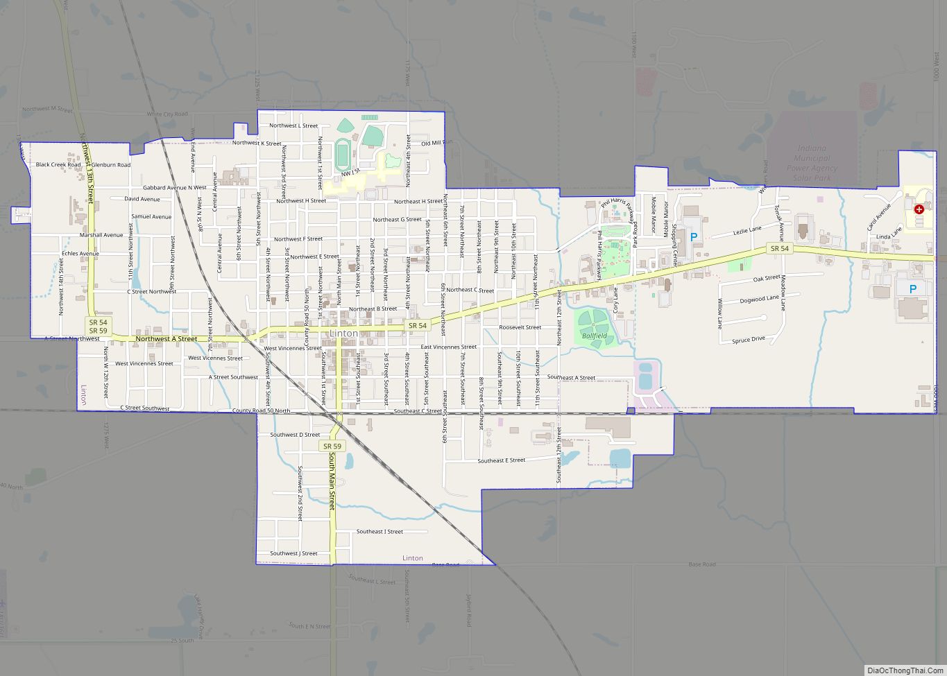
Linton is a city in Stockton Township, Greene County, Indiana, United States. The population was 5,133 at the 2020 census. A coal mining city, it is located southeast of Terre Haute. The current mayor is John Wilkes. Linton is part of the Bloomington, Indiana, metropolitan area. Linton city overview: Name: Linton city LSAD Code: 25 ... Read more
Indiana Cities and Places
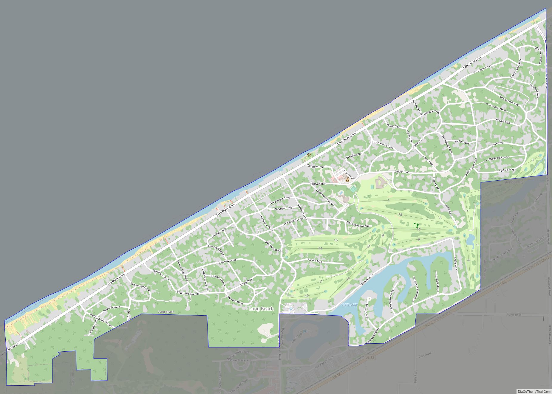
Long Beach is a town in Michigan Township, LaPorte County, Indiana, United States. As of the 2010 census, the population of Long Beach was 1,179. It is included in the Michigan City, Indiana–La Porte, Indiana Metropolitan Statistical Area. Long Beach town overview: Name: Long Beach town LSAD Code: 43 LSAD Description: town (suffix) State: Indiana ... Read more
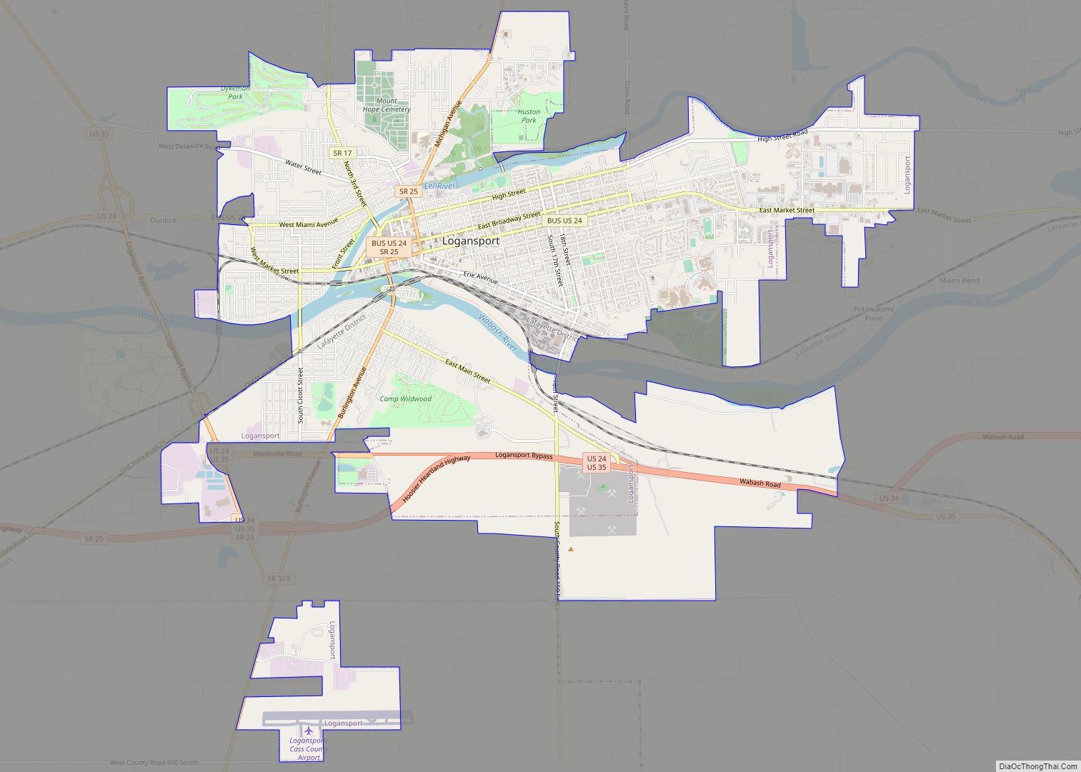
Logansport is a city in and the county seat of Cass County, Indiana, United States. The population was 18,366 at the 2020 census. Logansport is located in northern Indiana at the junction of the Wabash and Eel rivers, northwest of Kokomo. Logansport city overview: Name: Logansport city LSAD Code: 25 LSAD Description: city (suffix) State: ... Read more
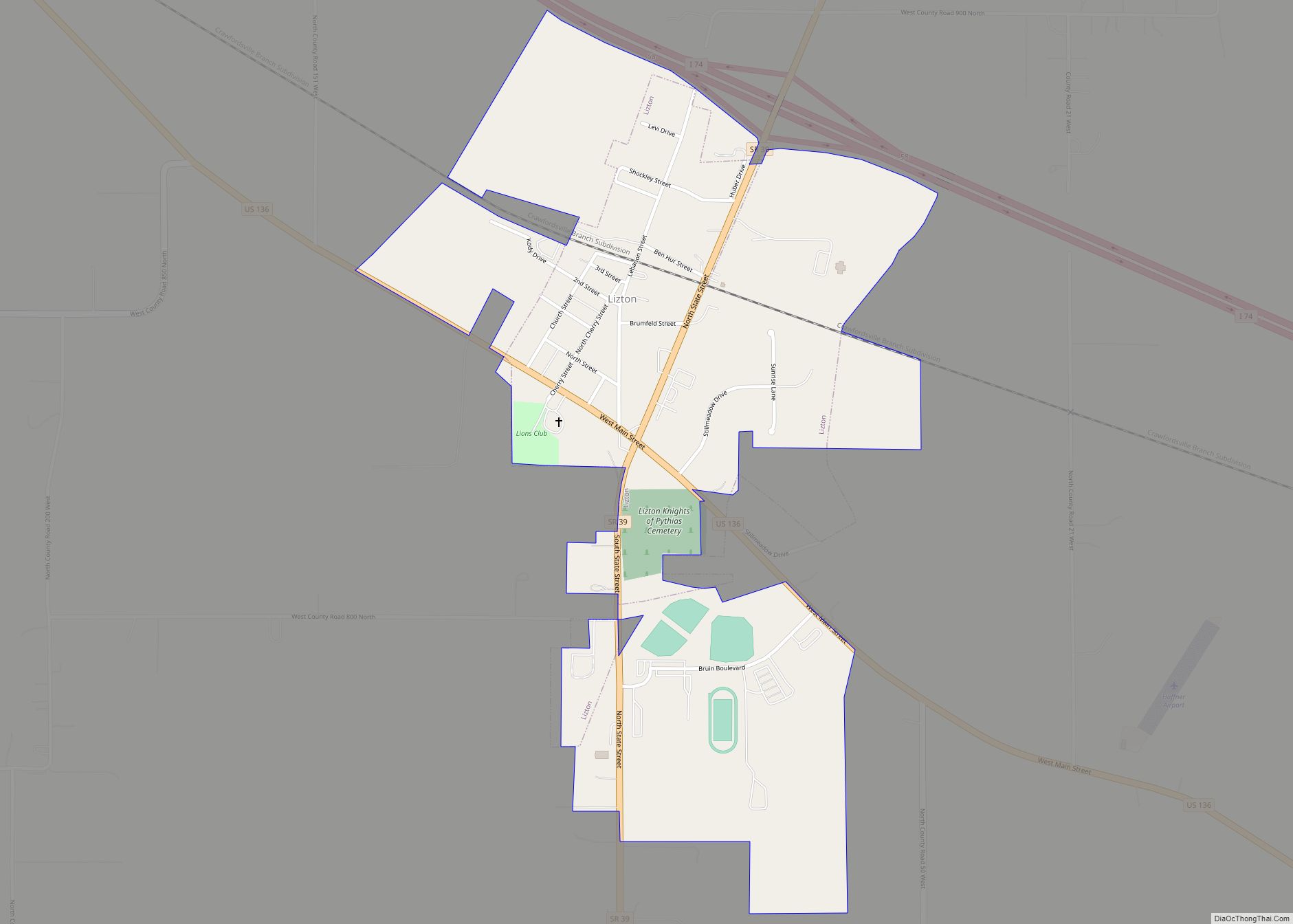
Lizton is a town in Union Township, Hendricks County, Indiana, United States. The population was 488 at the 2010 Census. It is one of the three towns (Pittsboro and North Salem being the other two) that make up North West Hendricks School Corporation. Lizton town overview: Name: Lizton town LSAD Code: 43 LSAD Description: town ... Read more
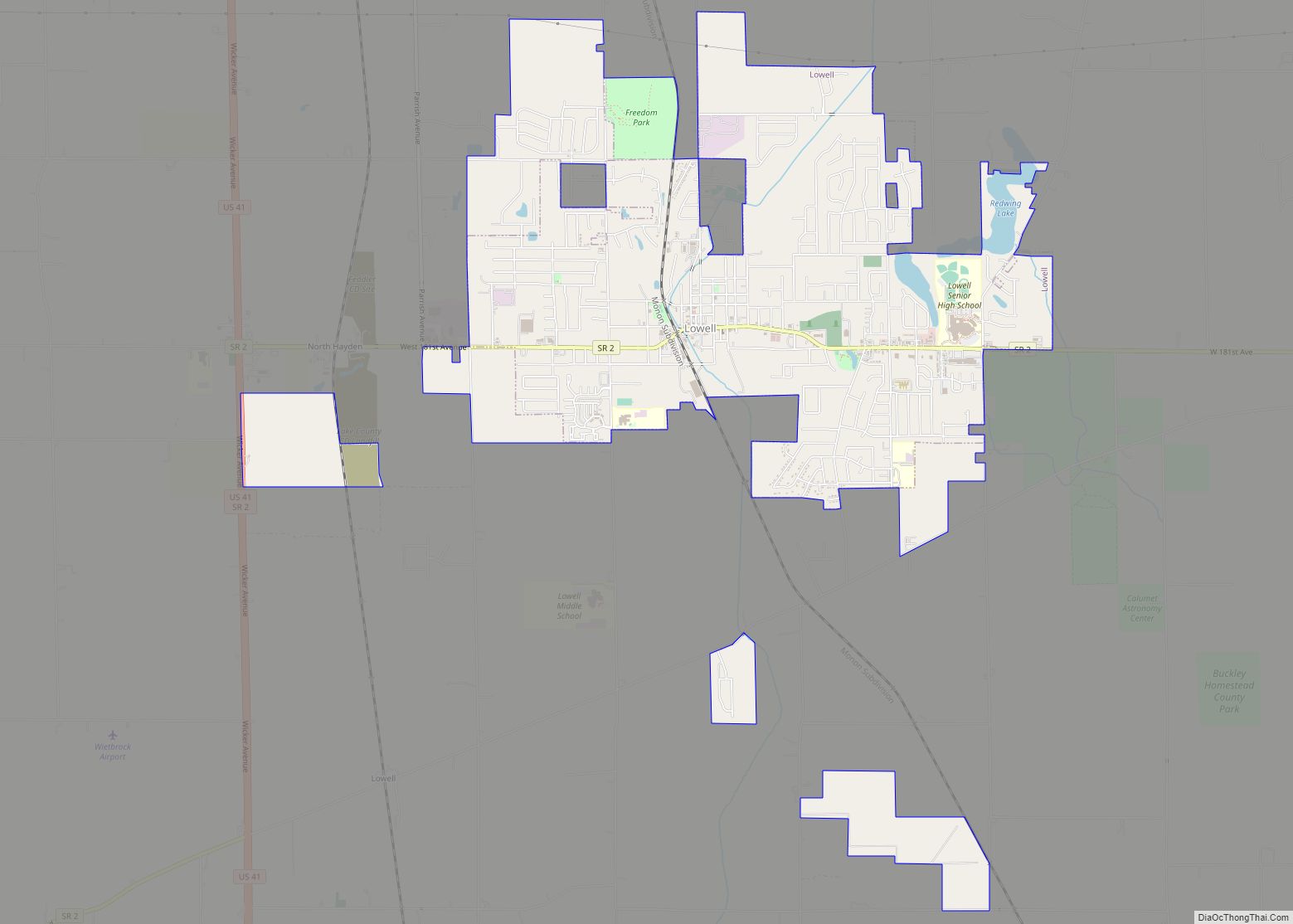
Lowell is a town in West Creek and Cedar Creek townships, Lake County, Indiana, United States. The population was 10,680 at the 2020 census. Lowell town overview: Name: Lowell town LSAD Code: 43 LSAD Description: town (suffix) State: Indiana County: Lake County Incorporated: 1852 Elevation: 669 ft (204 m) Total Area: 6.58 sq mi (17.04 km²) Land Area: 6.50 sq mi (16.83 km²) ... Read more
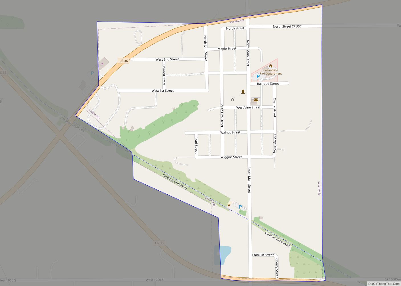
Losantville is a town in Union Township, Randolph County, in the U.S. state of Indiana. The population was 237 at the 2010 census. Losantville town overview: Name: Losantville town LSAD Code: 43 LSAD Description: town (suffix) State: Indiana County: Randolph County Elevation: 1,132 ft (345 m) Total Area: 0.19 sq mi (0.49 km²) Land Area: 0.19 sq mi (0.49 km²) Water Area: 0.00 sq mi ... Read more
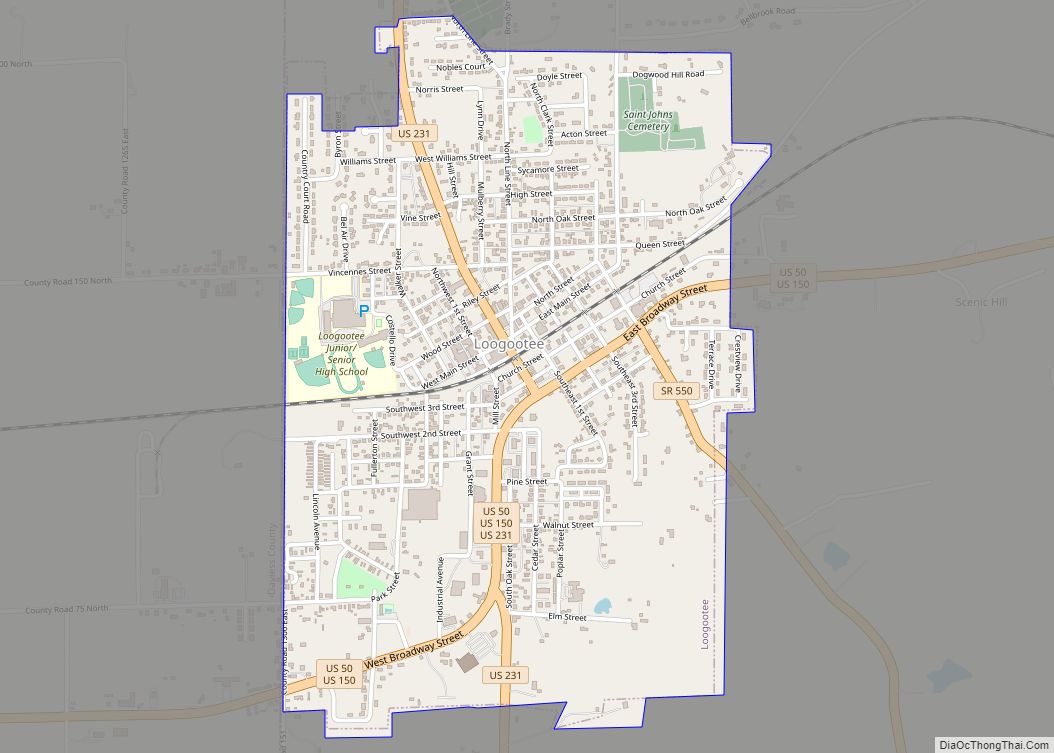
Loogootee (/ləˈɡoʊtiː/) is a city in Perry Township, Martin County, in the U.S. state of Indiana. The population was 2,601 at the time of the 2020 census. Loogootee city overview: Name: Loogootee city LSAD Code: 25 LSAD Description: city (suffix) State: Indiana County: Martin County Elevation: 532 ft (162 m) Total Area: 1.57 sq mi (4.06 km²) Land Area: 1.56 sq mi ... Read more
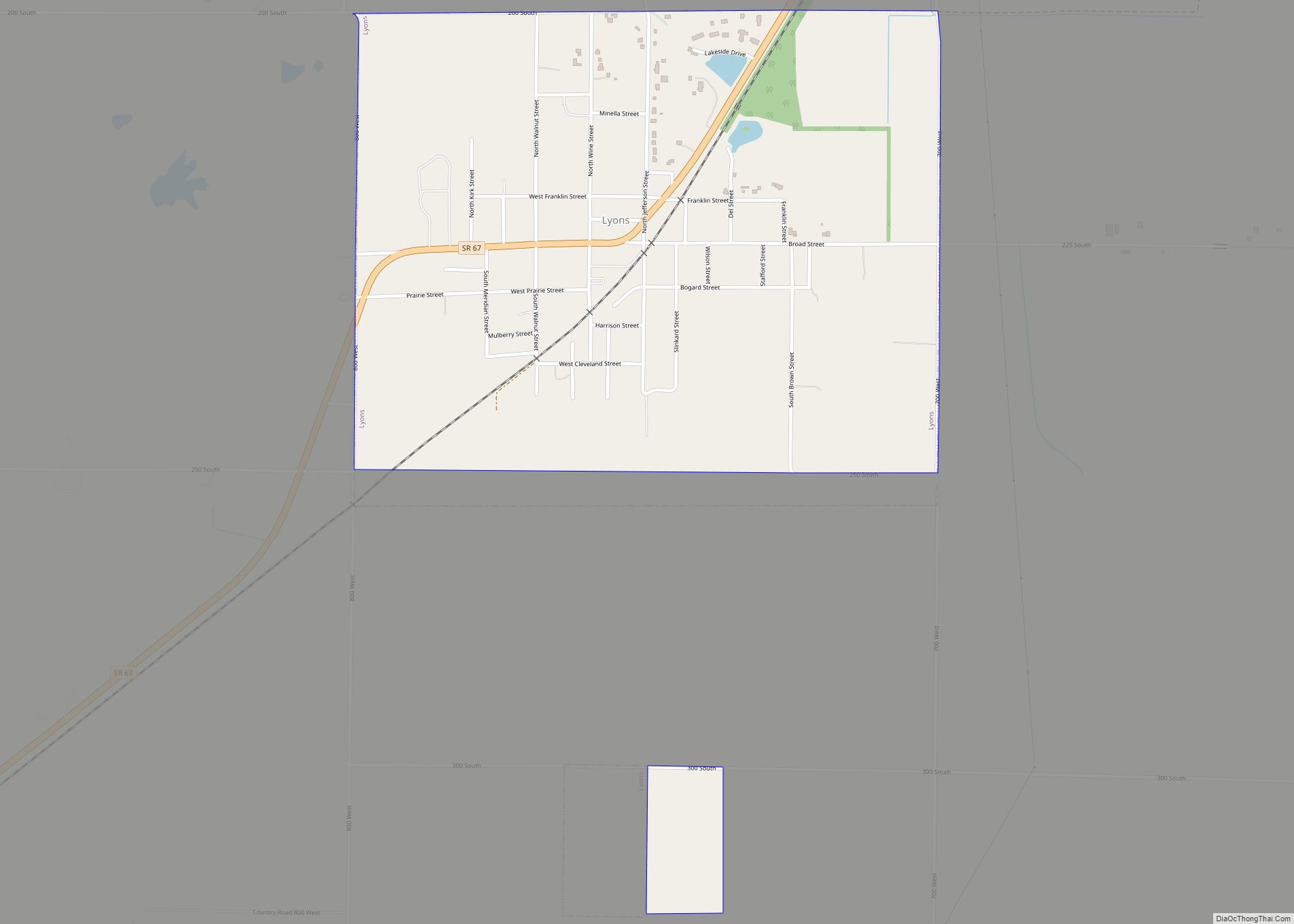
Lyons is a town in Washington Township, Greene County, Indiana, United States. The population was 742 at the 2010 census. It is part of the Bloomington, Indiana Metropolitan Statistical Area. Lyons town overview: Name: Lyons town LSAD Code: 43 LSAD Description: town (suffix) State: Indiana County: Greene County Elevation: 531 ft (162 m) Total Area: 0.81 sq mi (2.09 km²) ... Read more
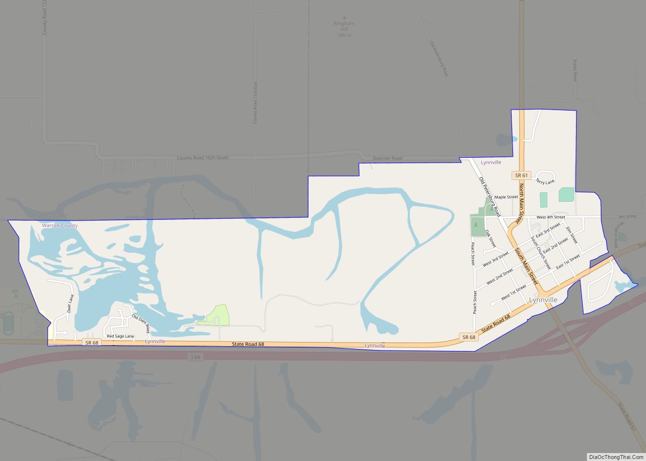
Lynnville is a town in Hart Township, Warrick County, in the U.S. state of Indiana. The population was 888 at the 2010 census. Lynnville town overview: Name: Lynnville town LSAD Code: 43 LSAD Description: town (suffix) State: Indiana County: Warrick County Elevation: 476 ft (145 m) Total Area: 1.98 sq mi (5.12 km²) Land Area: 1.74 sq mi (4.51 km²) Water Area: 0.24 sq mi ... Read more
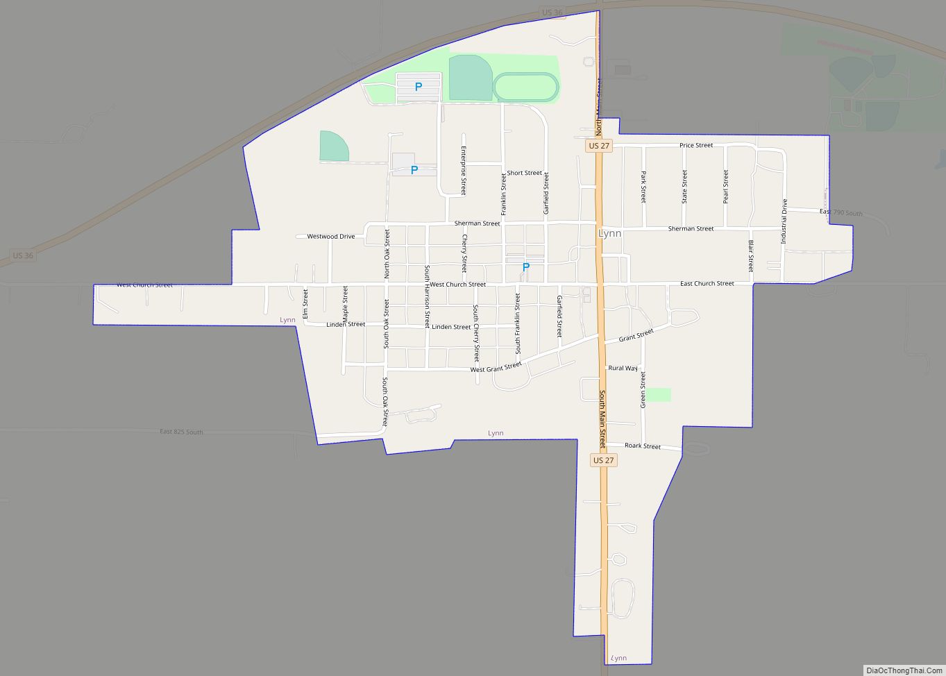
Lynn is a town in Washington Township, Randolph County, in the U.S. state of Indiana. The population was 1,097 at the 2010 census. Lynn town overview: Name: Lynn town LSAD Code: 43 LSAD Description: town (suffix) State: Indiana County: Randolph County Elevation: 1,181 ft (360 m) Total Area: 0.56 sq mi (1.46 km²) Land Area: 0.56 sq mi (1.46 km²) Water Area: 0.00 sq mi ... Read more
Madison is a city in and the county seat of Jefferson County, Indiana, United States, along the Ohio River. As of the 2010 United States Census its population was 11,967. Over 55,000 people live within 15 miles (24 km) of downtown Madison. Madison is the largest city along the Ohio River between Louisville and Cincinnati. Madison ... Read more
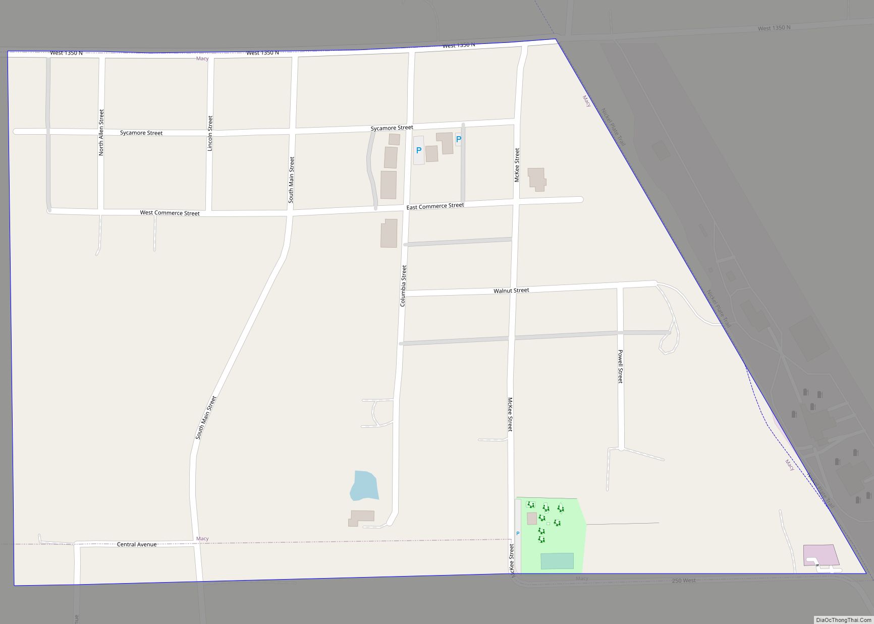
Macy is a town in Allen Township, Miami County, in the U.S. state of Indiana. The population was 199 at the 2020 census. Macy town overview: Name: Macy town LSAD Code: 43 LSAD Description: town (suffix) State: Indiana County: Miami County Elevation: 853 ft (260 m) Total Area: 0.12 sq mi (0.30 km²) Land Area: 0.12 sq mi (0.30 km²) Water Area: 0.00 sq mi ... Read more
