Logansport is a city in and the county seat of Cass County, Indiana, United States. The population was 18,366 at the 2020 census. Logansport is located in northern Indiana at the junction of the Wabash and Eel rivers, northwest of Kokomo.
| Name: | Logansport city |
|---|---|
| LSAD Code: | 25 |
| LSAD Description: | city (suffix) |
| State: | Indiana |
| County: | Cass County |
| Elevation: | 633 ft (193 m) |
| Total Area: | 10.72 sq mi (27.77 km²) |
| Land Area: | 10.49 sq mi (27.18 km²) |
| Water Area: | 0.23 sq mi (0.59 km²) 2.45% |
| Total Population: | 18,366 |
| Population Density: | 1,750.14/sq mi (675.73/km²) |
| ZIP code: | 46947 |
| Area code: | 574 |
| FIPS code: | 1844658 |
| GNISfeature ID: | 0438232 |
| Website: | http://www.cityoflogansport.org/ |
Online Interactive Map
Click on ![]() to view map in "full screen" mode.
to view map in "full screen" mode.
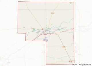
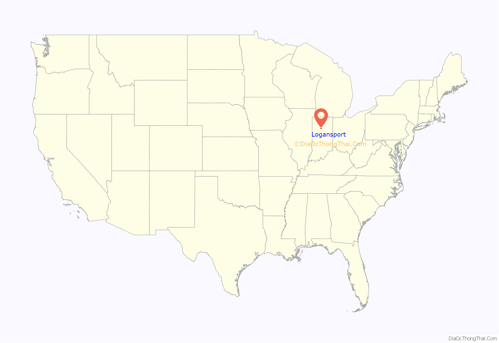
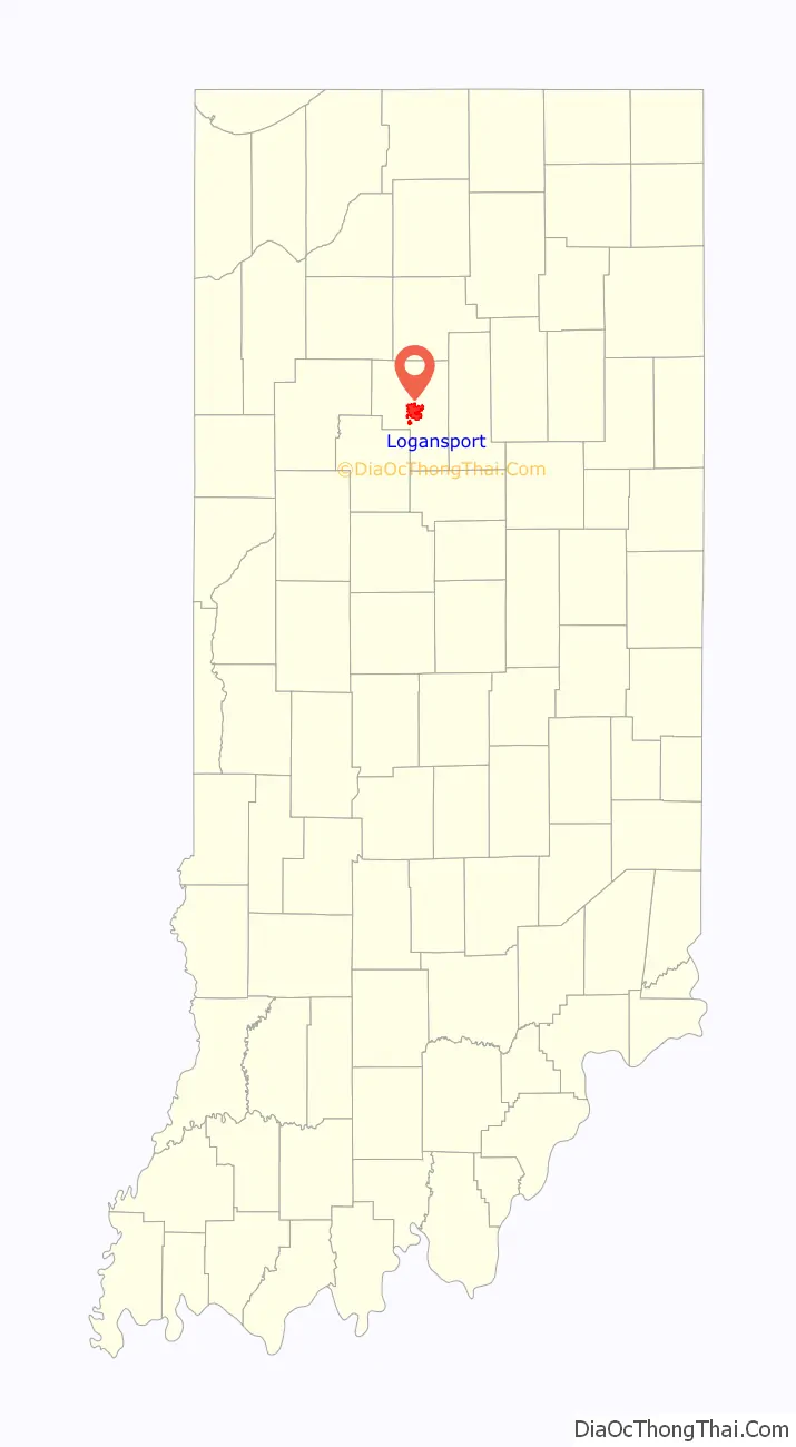
Logansport location map. Where is Logansport city?
History
Logansport was settled circa 1826 and named after a Shawnee warrior named James Logan, better known as “Captain Logan,” who served as a scout for U.S. forces in the surrounding area during the War of 1812.
Logansport is home to a refurbished Dentzel Carousel. Of many carousels built by the Dentzel Carousel Company, the refurbished Dentzel Carousel is “one of the three earliest Dentzel menagerie carousels that are virtually intact”. The carousel resides in Riverside Park on the banks of the Eel River. Riders may attempt to grab a brass ring while riding, this carousel game serves as the current basis for the local economic-development slogan “Logansport – Cass County: Grab the brass ring”. The Carousel is on the National Register of Historic Places and is a national landmark. Also listed on the National Register of Historic Places are the Bankers Row Historic District, Courthouse Historic District, Ferguson House, Jerolaman-Long House, John Keip House, Kendrick-Baldwin House, Willard B. Place House, Point Historic District, Pollard-Nelson House, and Henry Tousley House.
Logansport Community High School is the home of the oldest known high school mascot in Indiana, the animated Felix the Cat. Three competing legends claim to tell its origin story, however all accounts agree that Felix was brought into the high school’s tradition at some point between 1925 and 1926.
Logansport also has a diverse transportation history. The Wabash and Erie Canal reached Logansport in 1837, contributing the “port” to Logansport’s name, as in “Logan’s port”. The Historic Michigan Road runs through Logansport. Michigan Road was one of the first roads in Indiana. It runs from Madison, Indiana (South), to Michigan City, Indiana (North). There are many different names for the road, including Michigan Road, State Road 29, and US 421. Also several different passenger and freight train routes also served Logansport.
The Brotherhood of Railroad Trainmen and Ladies Auxiliary held its 1935 convention in Logansport. In addition to the Wabash, whose Wabash Cannon Ball stopped in the town, Pennsylvania Railroad trains such as the Union, on the Chicago-Cincinnati and the Chicago-Louisville routes, trains to Pittsburgh via Columbus, along with the Southland to Florida, made stops in Logansport. Logansport still has two active railroads and a switch yard, as well as a small refurbished depot downtown, although the much larger Pan Handle Depot was demolished in 1962.
Early in the 20th century, Logansport was home to the pioneering brass era automobile company Rutenber that had been based previously in Chicago and that renamed itself the Western Motor Company when it moved to Logansport. Edwin Rutenber started the Western Motor Company after inventing the first four-cylinder automobile engine. Rutenber was a prolific inventor who held dozens of patents ranging from the first automobile four-cylinder engine and distributor cap system to many electric home appliances, whose modern versions are still in use today.
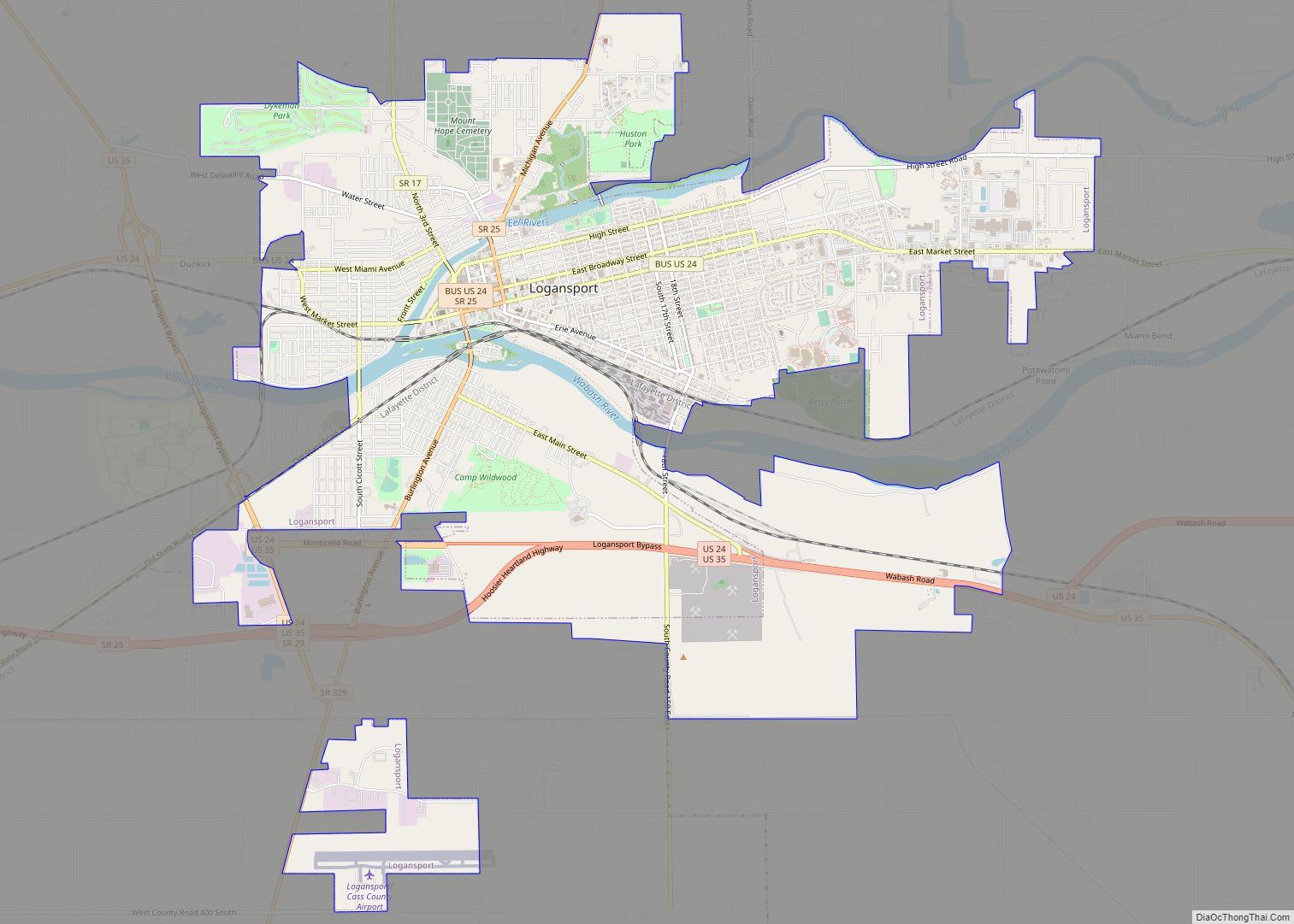
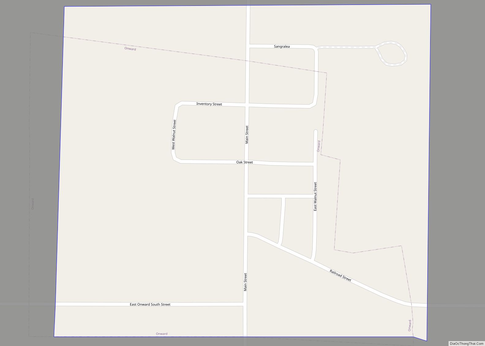
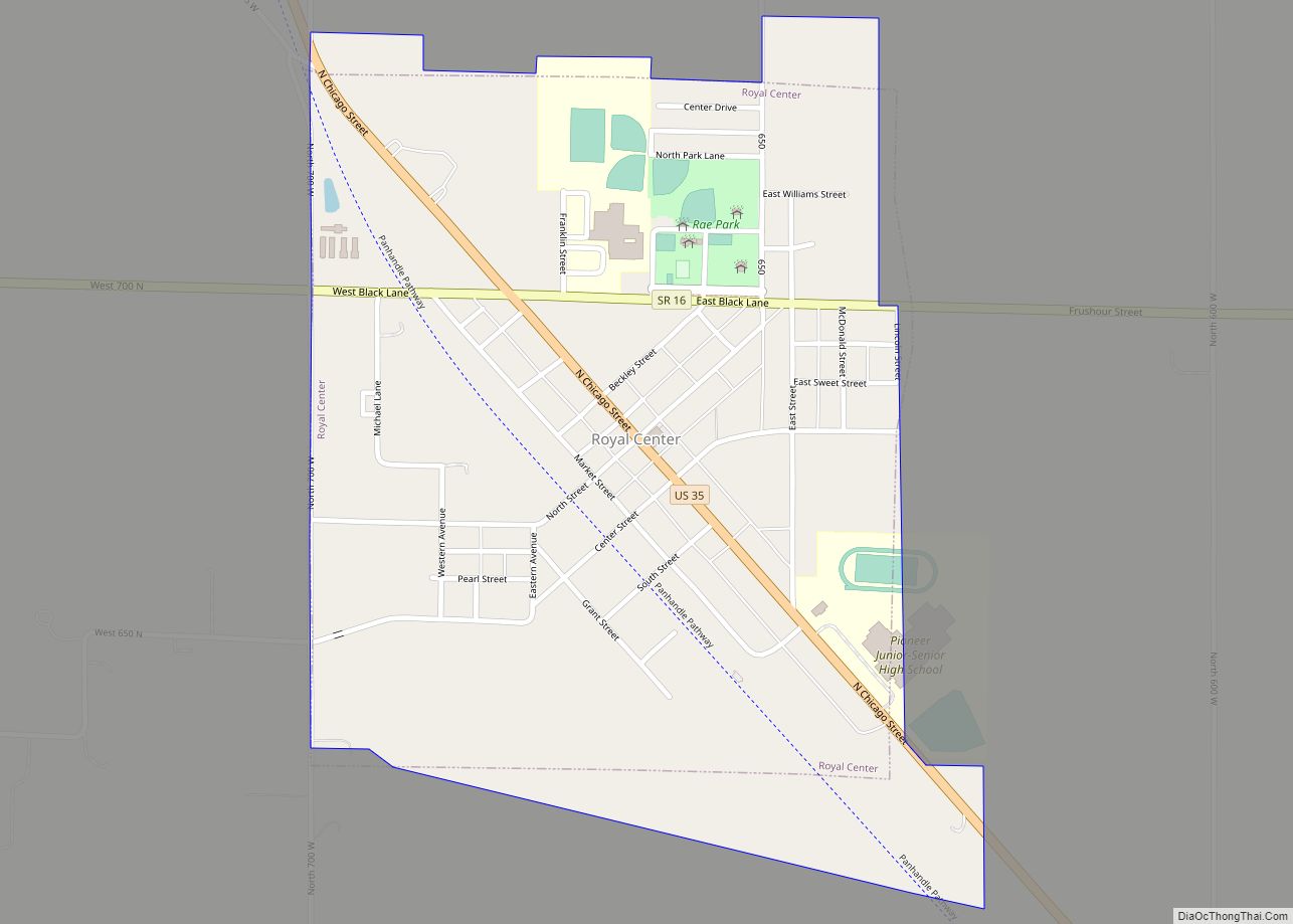
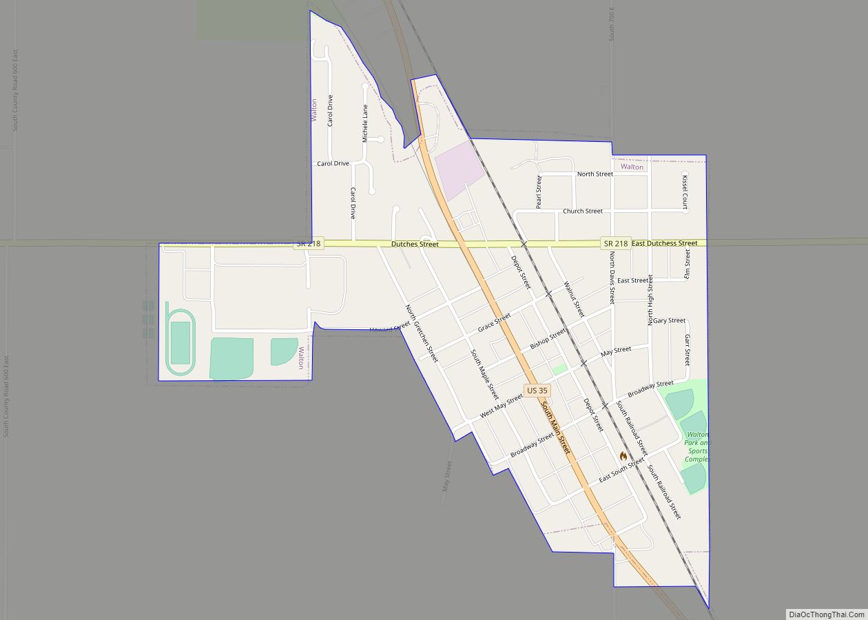
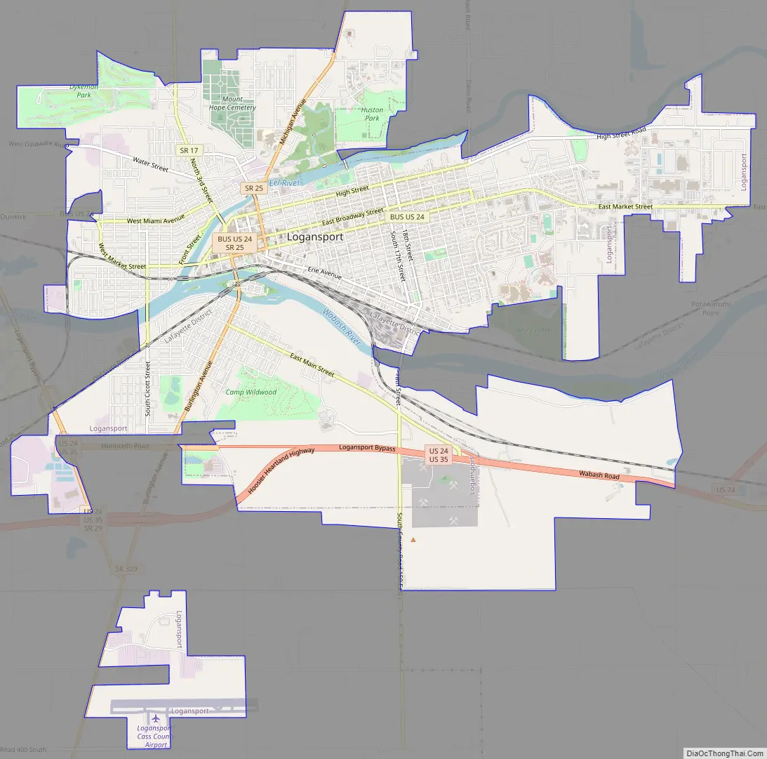
Logansport Road Map
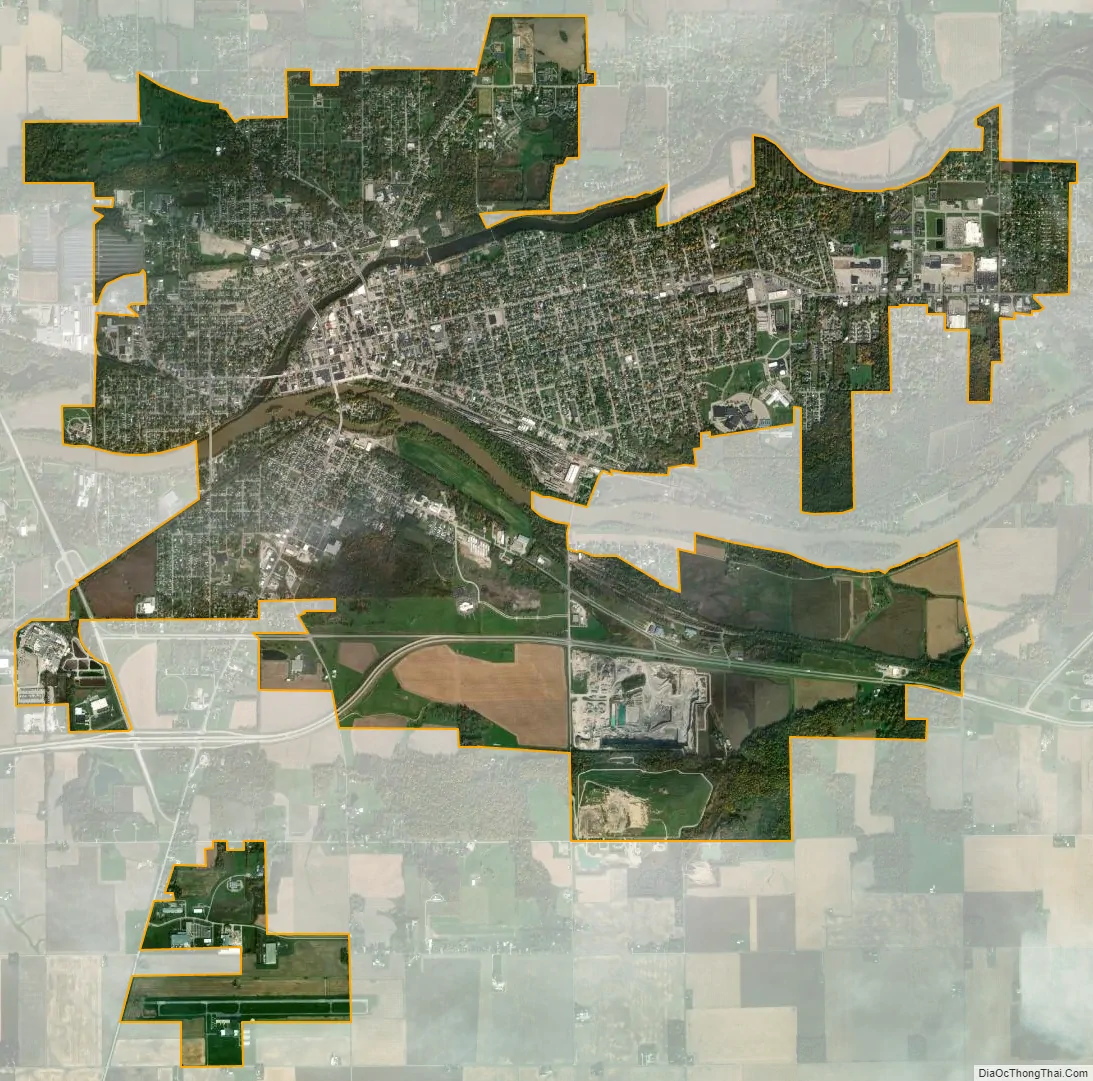
Logansport city Satellite Map
Geography
Logansport is located at 40°45′13″N 86°21′38″W / 40.753478°N 86.360485°W / 40.753478; -86.360485 (40.753478, -86.360485). According to the 2010 census, Logansport has a total area of 8.972 square miles (23.24 km), of which 8.75 square miles (22.66 km) (or 97.53%) is land and 0.222 square miles (0.57 km) (or 2.47%) is water.
The farmland to the south is generally flat, but there are some shallow hills to the north and east of Logansport that form a ridge through northern Cass and Miami counties. Similar nearby ridges—such as surrounding the nearby towns of Fowler and Goodland—have been found suitable for multi-hundred-megawatt wind farms, such as the nearby Fowler Ridge I & II Wind Farms and Goodland I Wind Farm.
See also
Map of Indiana State and its subdivision:- Adams
- Allen
- Bartholomew
- Benton
- Blackford
- Boone
- Brown
- Carroll
- Cass
- Clark
- Clay
- Clinton
- Crawford
- Daviess
- De Kalb
- Dearborn
- Decatur
- Delaware
- Dubois
- Elkhart
- Fayette
- Floyd
- Fountain
- Franklin
- Fulton
- Gibson
- Grant
- Greene
- Hamilton
- Hancock
- Harrison
- Hendricks
- Henry
- Howard
- Huntington
- Jackson
- Jasper
- Jay
- Jefferson
- Jennings
- Johnson
- Knox
- Kosciusko
- LaGrange
- Lake
- Lake Michigan
- LaPorte
- Lawrence
- Madison
- Marion
- Marshall
- Martin
- Miami
- Monroe
- Montgomery
- Morgan
- Newton
- Noble
- Ohio
- Orange
- Owen
- Parke
- Perry
- Pike
- Porter
- Posey
- Pulaski
- Putnam
- Randolph
- Ripley
- Rush
- Saint Joseph
- Scott
- Shelby
- Spencer
- Starke
- Steuben
- Sullivan
- Switzerland
- Tippecanoe
- Tipton
- Union
- Vanderburgh
- Vermillion
- Vigo
- Wabash
- Warren
- Warrick
- Washington
- Wayne
- Wells
- White
- Whitley
- Alabama
- Alaska
- Arizona
- Arkansas
- California
- Colorado
- Connecticut
- Delaware
- District of Columbia
- Florida
- Georgia
- Hawaii
- Idaho
- Illinois
- Indiana
- Iowa
- Kansas
- Kentucky
- Louisiana
- Maine
- Maryland
- Massachusetts
- Michigan
- Minnesota
- Mississippi
- Missouri
- Montana
- Nebraska
- Nevada
- New Hampshire
- New Jersey
- New Mexico
- New York
- North Carolina
- North Dakota
- Ohio
- Oklahoma
- Oregon
- Pennsylvania
- Rhode Island
- South Carolina
- South Dakota
- Tennessee
- Texas
- Utah
- Vermont
- Virginia
- Washington
- West Virginia
- Wisconsin
- Wyoming