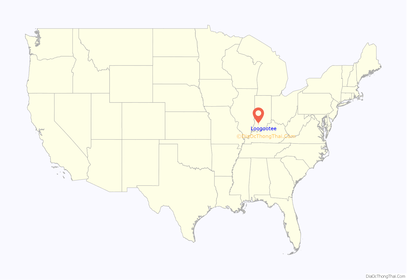
Loogootee (/ləˈɡoʊtiː/) is a city in Perry Township, Martin County, in the U.S. state of Indiana. The population was 2,601 at the time of the 2020 census.
| Name: | Loogootee city |
|---|---|
| LSAD Code: | 25 |
| LSAD Description: | city (suffix) |
| State: | Indiana |
| County: | Martin County |
| Elevation: | 532 ft (162 m) |
| Total Area: | 1.57 sq mi (4.06 km²) |
| Land Area: | 1.56 sq mi (4.05 km²) |
| Water Area: | 0.00 sq mi (0.01 km²) 0% |
| Total Population: | 2,601 |
| Population Density: | 1,661.98/sq mi (641.74/km²) |
| ZIP code: | 47553 |
| Area code: | 812 and 930 |
| FIPS code: | 1844910 |
| GNISfeature ID: | 2395763 |
| Website: | loogootee.in.gov |
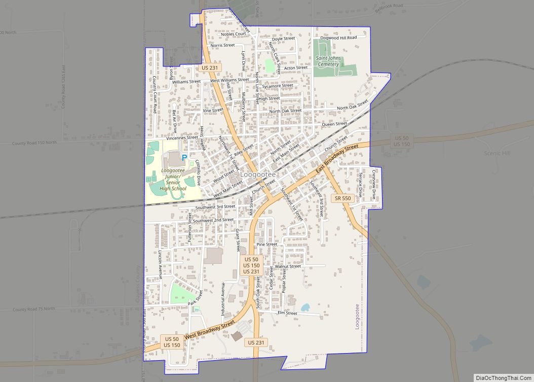
Online Interactive Map
Click on ![]() to view map in "full screen" mode.
to view map in "full screen" mode.
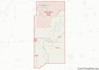
Loogootee location map. Where is Loogootee city?
History
Loogootee was established in 1853, when it was certain that a new railroad line would be extended to that point. The post office at Loogootee has been in operation since 1857.
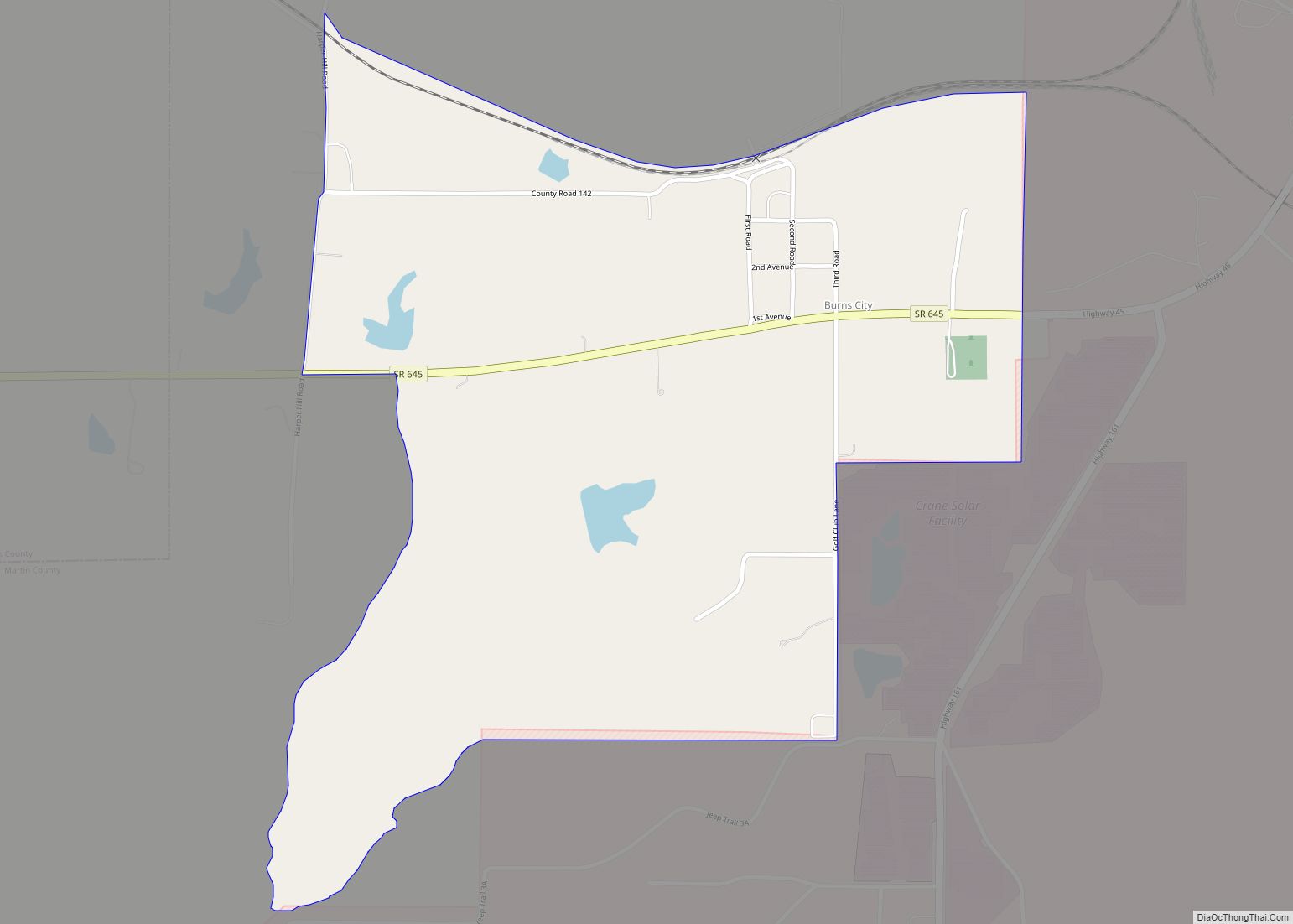
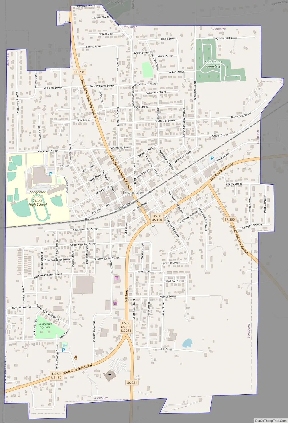
Loogootee Road Map
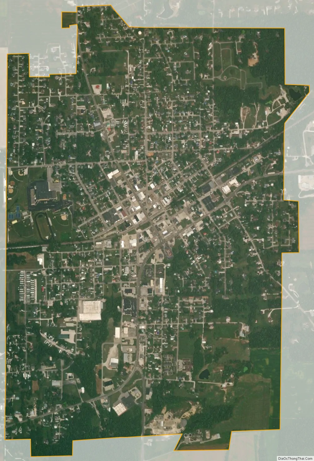
Loogootee city Satellite Map
Geography
Loogootee is located on the western side of Martin County and the western border of the city is the Daviess County line.
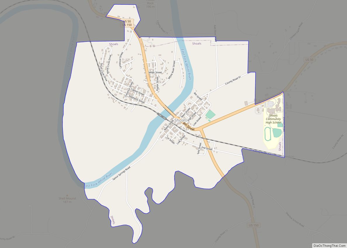
Several U.S. highways pass through the center of Loogootee. U.S. Routes 60 and 150 follow Broadway through the city, while U.S. Route 231 enters from the north on John F. Kennedy Avenue, joins Routes 60 and 150 on Broadway south of the city center, then turns south on its own alignment. US 60 and 150 lead east 7 miles (11 km) to Shoals, the Martin county seat, and west 15 miles (24 km) to Washington, while US 231 leads north 24 miles (39 km) to Bloomfield and south 21 miles (34 km) to Jasper. Indiana State Road 550 leads southeast from Loogootee 10 miles (16 km) to Lacy.
According to the U.S. Census Bureau, Loogootee has a total area of 1.57 square miles (4.07 km), of which 0.004 square miles (0.01 km), or 0.25%, are water. The city drains northeast toward Boggs Creek and southwest toward Friends Creek, both of which are southeast-flowing tributaries of the East Fork of the White River, part of the Wabash River watershed.
The city is located in the 8th District of Indiana (map) and served by U.S. Representative Larry Bucshon.
Climate
Loogootee has a humid continental climate (Köppen climate classification Dfa) Summers are hot and humid, winters are cool to cold. Average temperatures range from 19 degrees Fahrenheit to 68 °F (20 °C). On average, the warmest month is July. The highest recorded temperature was 104 °F (40 °C) in 1954. The average coolest month is January. The lowest recorded temperature was −23 °F (−31 °C) in 1994. The maximum average precipitation occurs in May.
See also
Map of Indiana State and its subdivision:- Adams
- Allen
- Bartholomew
- Benton
- Blackford
- Boone
- Brown
- Carroll
- Cass
- Clark
- Clay
- Clinton
- Crawford
- Daviess
- De Kalb
- Dearborn
- Decatur
- Delaware
- Dubois
- Elkhart
- Fayette
- Floyd
- Fountain
- Franklin
- Fulton
- Gibson
- Grant
- Greene
- Hamilton
- Hancock
- Harrison
- Hendricks
- Henry
- Howard
- Huntington
- Jackson
- Jasper
- Jay
- Jefferson
- Jennings
- Johnson
- Knox
- Kosciusko
- LaGrange
- Lake
- Lake Michigan
- LaPorte
- Lawrence
- Madison
- Marion
- Marshall
- Martin
- Miami
- Monroe
- Montgomery
- Morgan
- Newton
- Noble
- Ohio
- Orange
- Owen
- Parke
- Perry
- Pike
- Porter
- Posey
- Pulaski
- Putnam
- Randolph
- Ripley
- Rush
- Saint Joseph
- Scott
- Shelby
- Spencer
- Starke
- Steuben
- Sullivan
- Switzerland
- Tippecanoe
- Tipton
- Union
- Vanderburgh
- Vermillion
- Vigo
- Wabash
- Warren
- Warrick
- Washington
- Wayne
- Wells
- White
- Whitley
- Alabama
- Alaska
- Arizona
- Arkansas
- California
- Colorado
- Connecticut
- Delaware
- District of Columbia
- Florida
- Georgia
- Hawaii
- Idaho
- Illinois
- Indiana
- Iowa
- Kansas
- Kentucky
- Louisiana
- Maine
- Maryland
- Massachusetts
- Michigan
- Minnesota
- Mississippi
- Missouri
- Montana
- Nebraska
- Nevada
- New Hampshire
- New Jersey
- New Mexico
- New York
- North Carolina
- North Dakota
- Ohio
- Oklahoma
- Oregon
- Pennsylvania
- Rhode Island
- South Carolina
- South Dakota
- Tennessee
- Texas
- Utah
- Vermont
- Virginia
- Washington
- West Virginia
- Wisconsin
- Wyoming