Linton is a city in Stockton Township, Greene County, Indiana, United States. The population was 5,133 at the 2020 census. A coal mining city, it is located southeast of Terre Haute. The current mayor is John Wilkes.
Linton is part of the Bloomington, Indiana, metropolitan area.
| Name: | Linton city |
|---|---|
| LSAD Code: | 25 |
| LSAD Description: | city (suffix) |
| State: | Indiana |
| County: | Greene County |
| Elevation: | 531 ft (162 m) |
| Total Area: | 3.20 sq mi (8.29 km²) |
| Land Area: | 3.20 sq mi (8.29 km²) |
| Water Area: | 0.00 sq mi (0.00 km²) |
| Total Population: | 5,133 |
| Population Density: | 1,603.56/sq mi (619.17/km²) |
| ZIP code: | 47441 |
| Area code: | 812 |
| FIPS code: | 1844190 |
| GNISfeature ID: | 0437969 |
| Website: | www.cityoflinton.com |
Online Interactive Map
Click on ![]() to view map in "full screen" mode.
to view map in "full screen" mode.
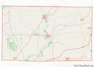
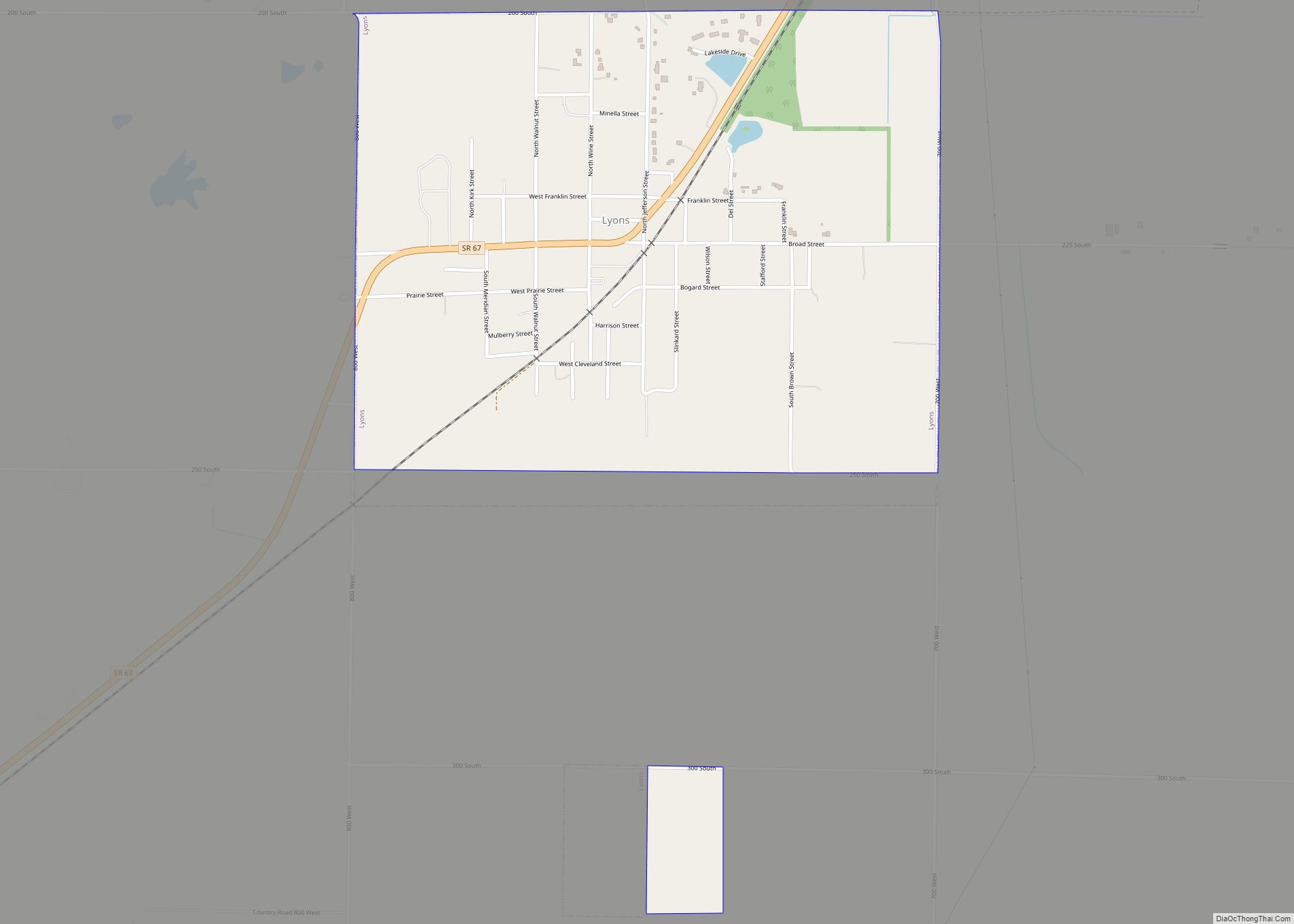
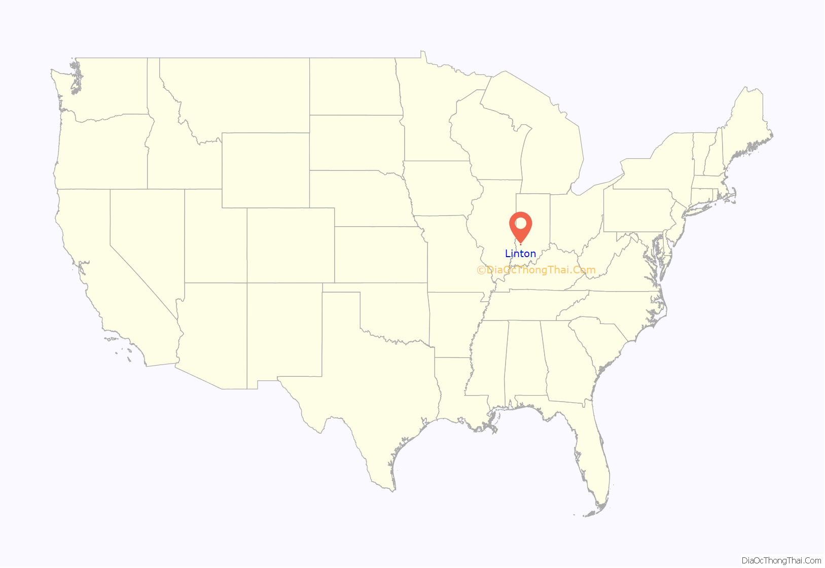
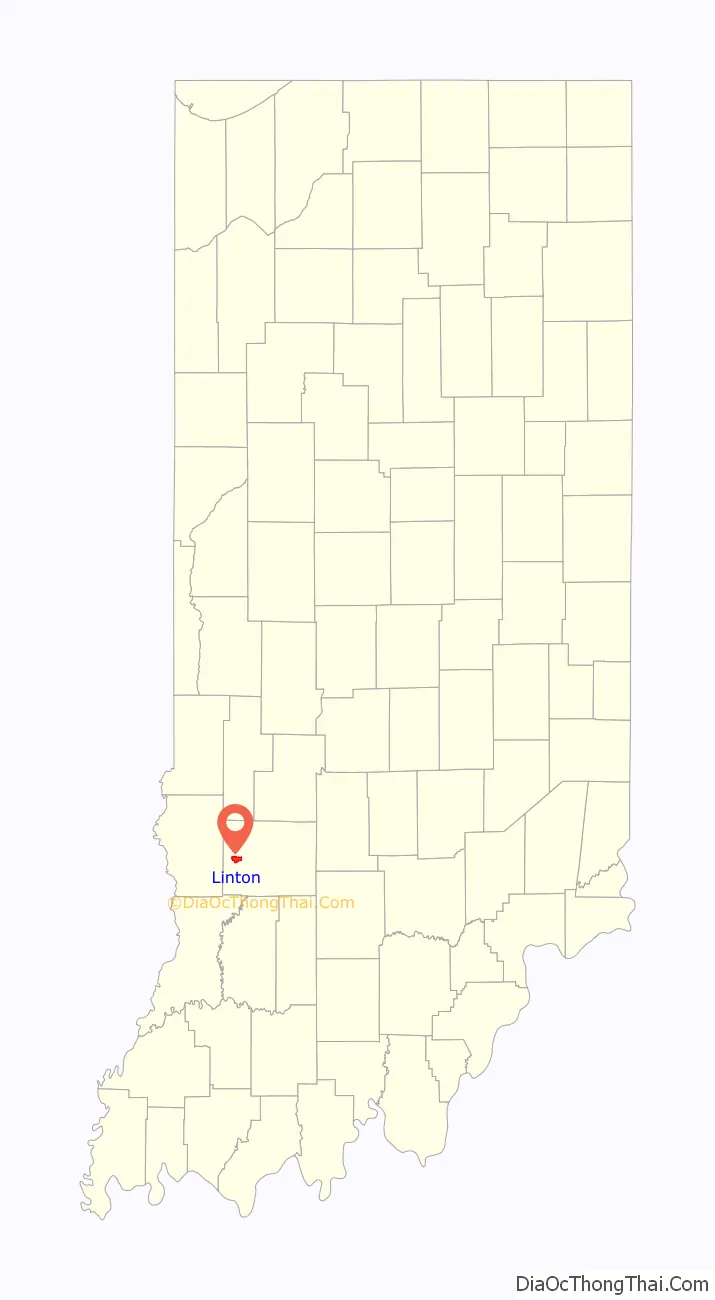
Linton location map. Where is Linton city?
History
Linton was essentially founded around the entrepreneuring of John W. Wines, who first sold goods in the Linton area, briefly in 1831. Although he would later relocate to Fairplay, Indiana, he returned and opened a general store in Linton in 1837. He would later build a small horse mill as well as a tannery. The city itself was officially chartered and named in June 1850, laid out by Hannah E. Osborn and Isaac V. Coddington. In the late 19th century, small underground coal mines began to appear near and almost inside the city and the population expanded rapidly. At the turn of the 20th century, the population was larger than it is today. At one point in the 1920s, there were at least 35 drinking establishments and an equal number of churches.
In 1896, Linton drove 300 African-American strikebreakers from town and became a sundown town, prohibiting African-Americans from living there. In 1903, union miners drove black waiters from town, and the ban expanded to all of Greene County. Violence against African-Americans continued into the 1940s. Historian James W. Loewen cites Linton as an example of a town where strikebreakers were used as pretext for more general discriminatory practices.
In the 1920s, small surface mines began to predominate, and their small, unreclaimed hills and strip-pit lakes still surround the city. The lakes have provided a regular, if limited, amount of fishing tourism for decades. Signs of the underground mines remain as well, including tipples on private land and sinkholes that appear regularly on private property, roads and even within the city limits. By the 1940s, the underground mines were gone and the small surface mines had moved on or been consumed by large corporations such as Peabody Coal Company. These mines were the primary employers well into the 1980s.
In 1952, General Electric built a factory on the southeast side of the city. This factory employed several hundred until the mid-1980s, when GE phased out most of their small motors production in the U.S. The factory building remained empty due to Environmental Protection Agency regulations until GE tore it down beginning in 2014. The company plans to sell the land directly to buyers rather than to the city.
On April 29, 1963, an F3 tornado struck Hoosier, north of Linton. It was the strongest tornado ever recorded in Greene County.
The Linton Commercial Historic District and Linton Public Library are listed on the National Register of Historic Places.
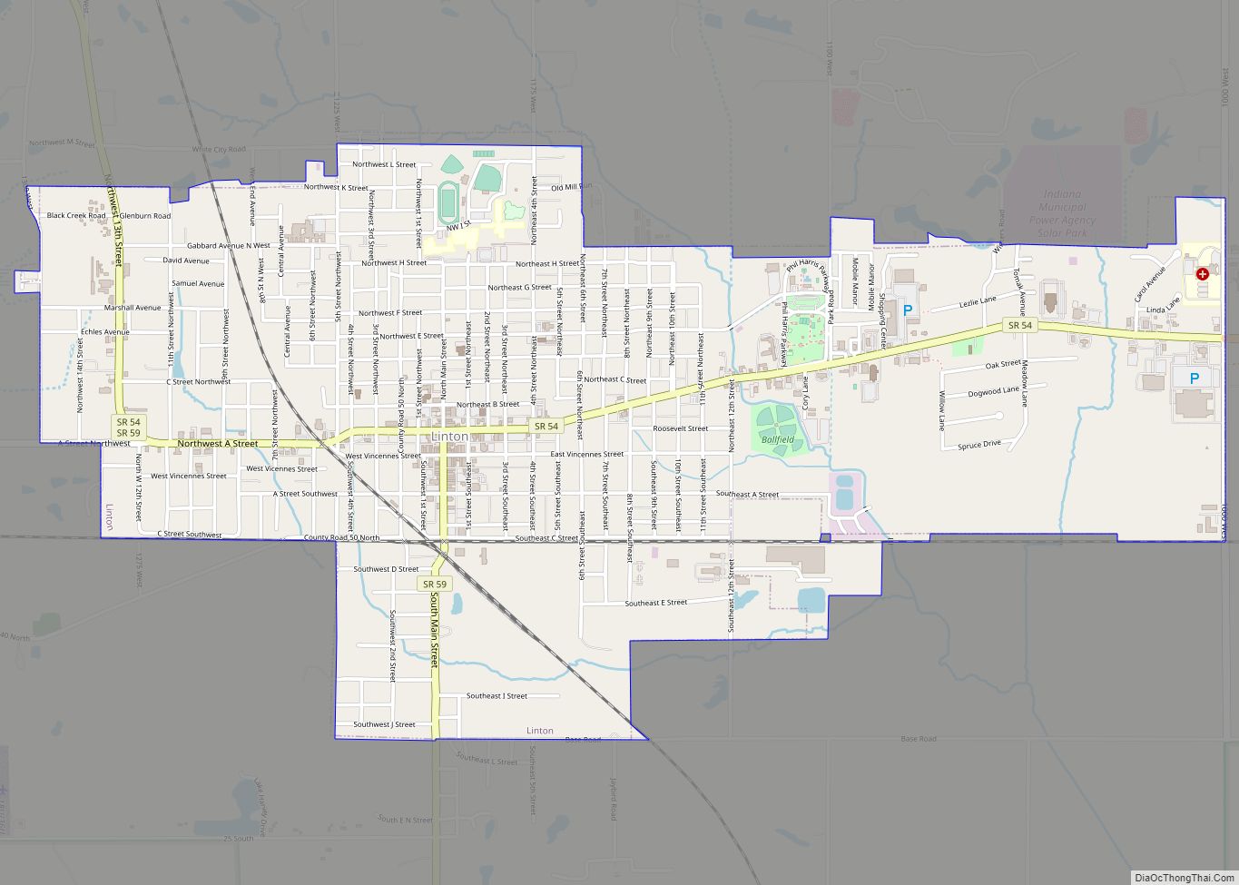
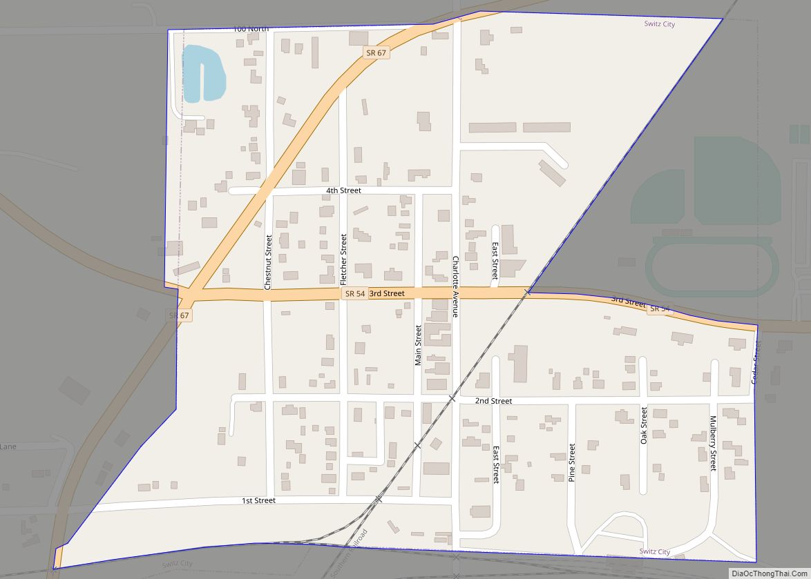
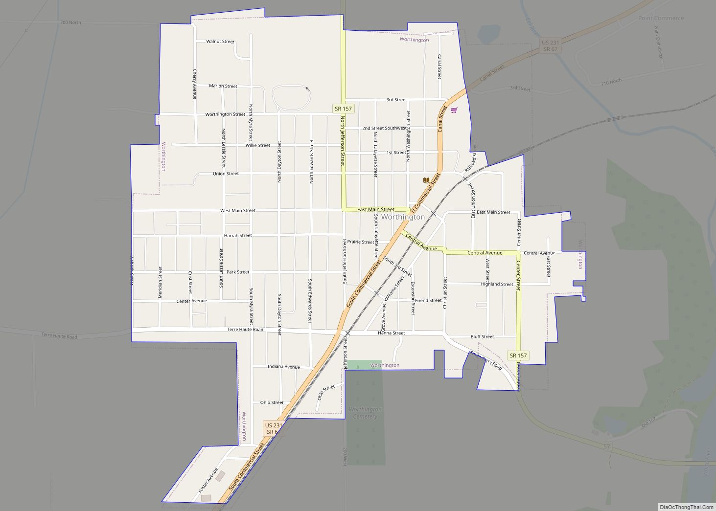
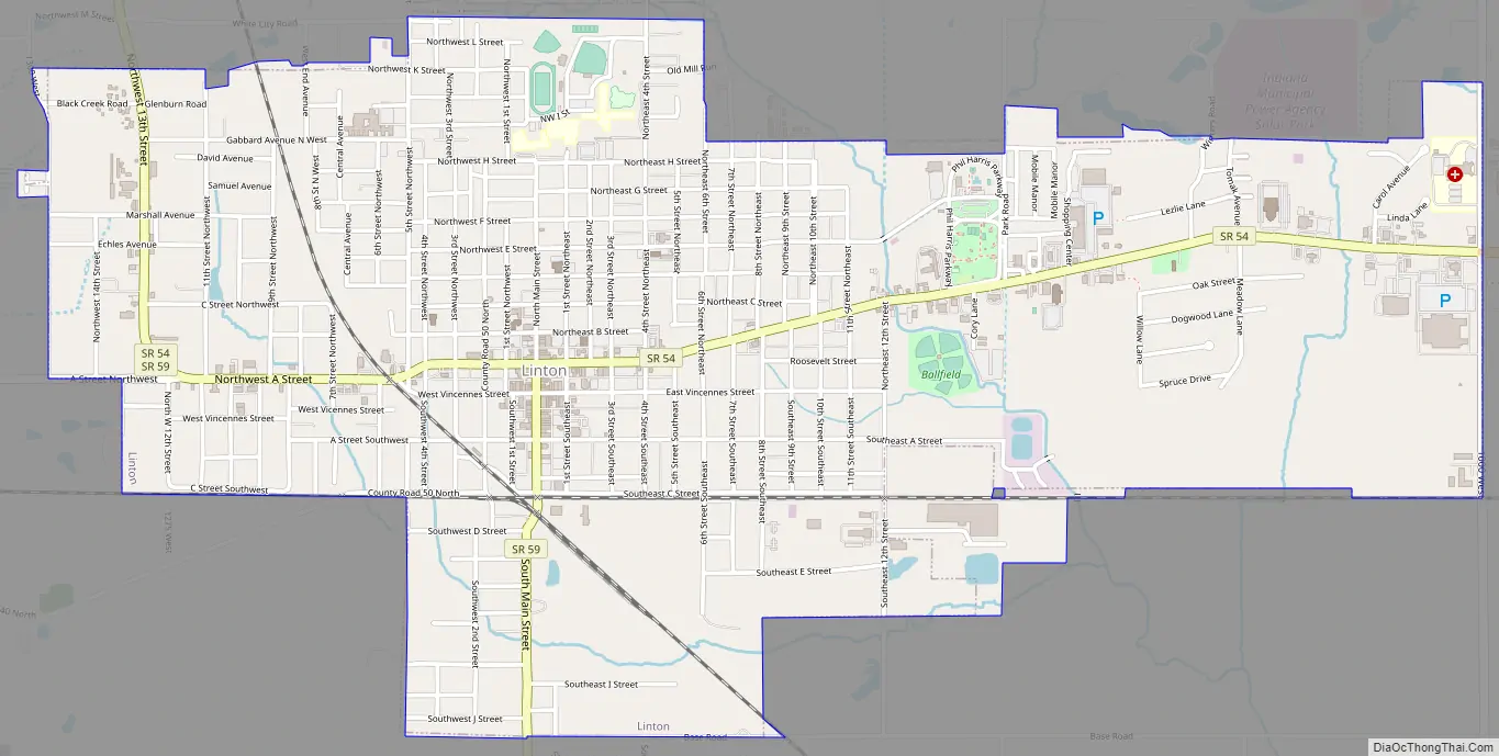
Linton Road Map
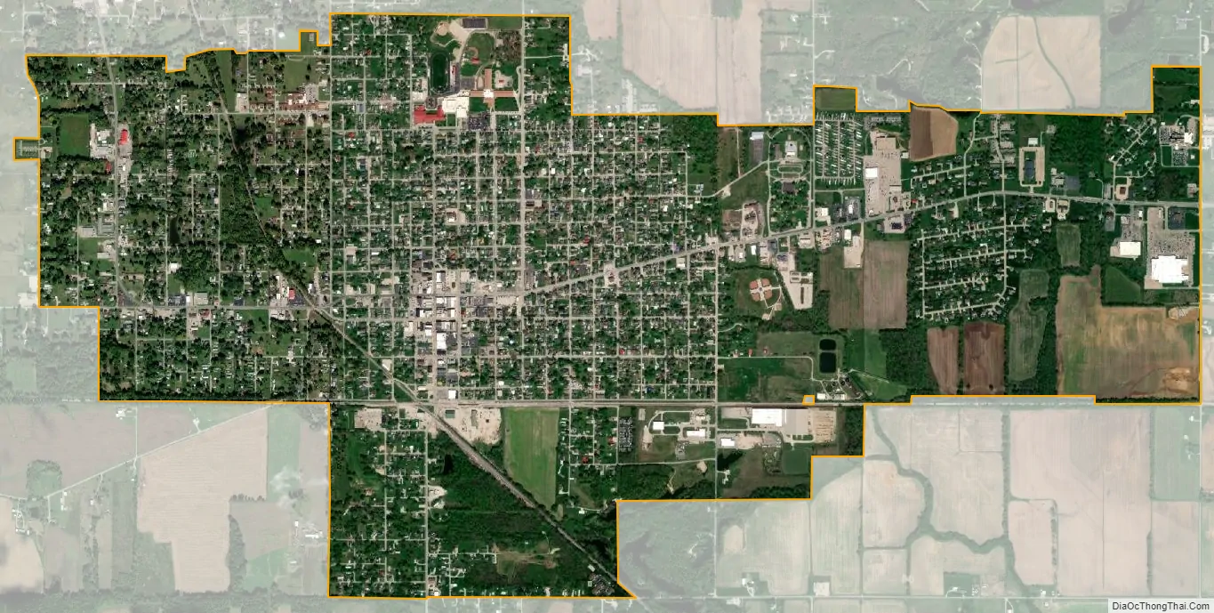
Linton city Satellite Map
Geography
According to the 2010 census, Linton has a total area of 3.02 square miles (7.82 km), all land.
See also
Map of Indiana State and its subdivision:- Adams
- Allen
- Bartholomew
- Benton
- Blackford
- Boone
- Brown
- Carroll
- Cass
- Clark
- Clay
- Clinton
- Crawford
- Daviess
- De Kalb
- Dearborn
- Decatur
- Delaware
- Dubois
- Elkhart
- Fayette
- Floyd
- Fountain
- Franklin
- Fulton
- Gibson
- Grant
- Greene
- Hamilton
- Hancock
- Harrison
- Hendricks
- Henry
- Howard
- Huntington
- Jackson
- Jasper
- Jay
- Jefferson
- Jennings
- Johnson
- Knox
- Kosciusko
- LaGrange
- Lake
- Lake Michigan
- LaPorte
- Lawrence
- Madison
- Marion
- Marshall
- Martin
- Miami
- Monroe
- Montgomery
- Morgan
- Newton
- Noble
- Ohio
- Orange
- Owen
- Parke
- Perry
- Pike
- Porter
- Posey
- Pulaski
- Putnam
- Randolph
- Ripley
- Rush
- Saint Joseph
- Scott
- Shelby
- Spencer
- Starke
- Steuben
- Sullivan
- Switzerland
- Tippecanoe
- Tipton
- Union
- Vanderburgh
- Vermillion
- Vigo
- Wabash
- Warren
- Warrick
- Washington
- Wayne
- Wells
- White
- Whitley
- Alabama
- Alaska
- Arizona
- Arkansas
- California
- Colorado
- Connecticut
- Delaware
- District of Columbia
- Florida
- Georgia
- Hawaii
- Idaho
- Illinois
- Indiana
- Iowa
- Kansas
- Kentucky
- Louisiana
- Maine
- Maryland
- Massachusetts
- Michigan
- Minnesota
- Mississippi
- Missouri
- Montana
- Nebraska
- Nevada
- New Hampshire
- New Jersey
- New Mexico
- New York
- North Carolina
- North Dakota
- Ohio
- Oklahoma
- Oregon
- Pennsylvania
- Rhode Island
- South Carolina
- South Dakota
- Tennessee
- Texas
- Utah
- Vermont
- Virginia
- Washington
- West Virginia
- Wisconsin
- Wyoming