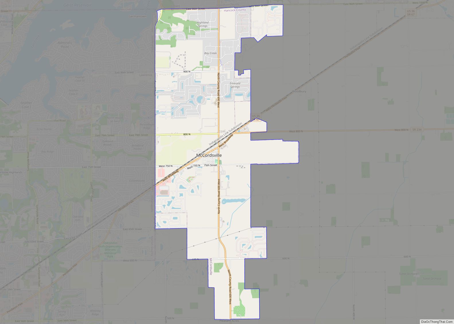
McCordsville is a town in Vernon Township, Hancock County, Indiana, United States. The town is a fast-growing suburb of Indianapolis with an estimated population of 8,592 in 2020. McCordsville town overview: Name: McCordsville town LSAD Code: 43 LSAD Description: town (suffix) State: Indiana County: Hancock County Elevation: 850 ft (259 m) Total Area: 7.20 sq mi (18.65 km²) Land Area: ... Read more
Indiana Cities and Places
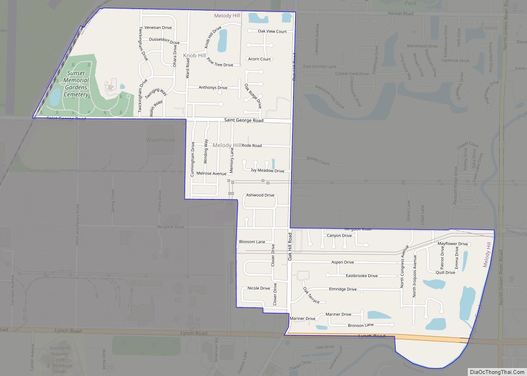
Melody Hill is a census-designated place (CDP) in Center Township, Vanderburgh County, in the U.S. state of Indiana. The population was 3,628 at the 2010 census. Melody Hill CDP overview: Name: Melody Hill CDP LSAD Code: 57 LSAD Description: CDP (suffix) State: Indiana County: Vanderburgh County Elevation: 407 ft (124 m) Total Area: 1.38 sq mi (3.59 km²) Land Area: ... Read more
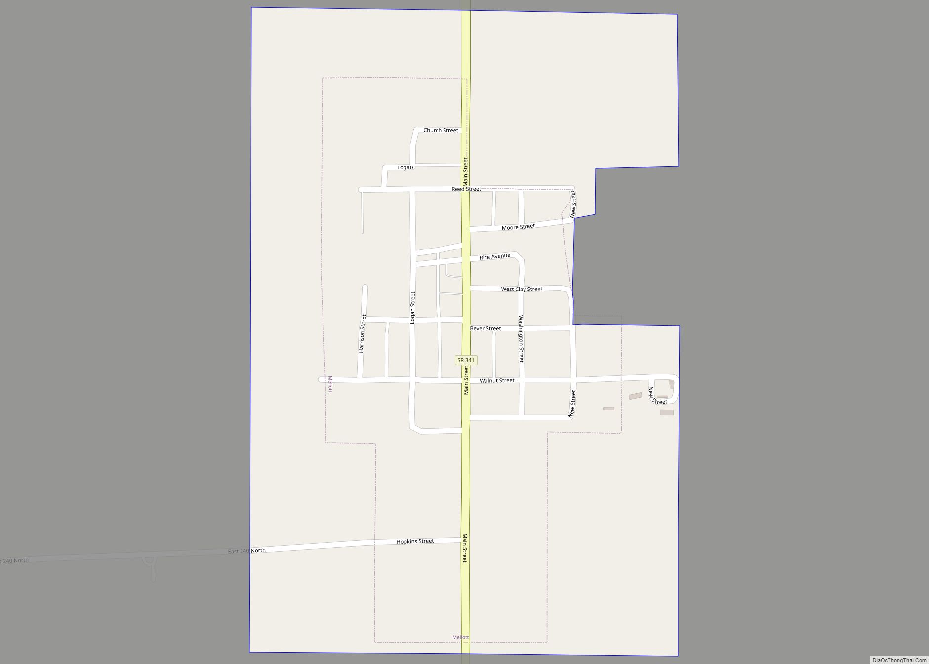
Mellott is a town in Richland Township, Fountain County, Indiana, United States. The population was 197 at the 2010 census. On November 17, 2013, a tornado hit Mellott. Mellott town overview: Name: Mellott town LSAD Code: 43 LSAD Description: town (suffix) State: Indiana County: Fountain County Elevation: 728 ft (222 m) Total Area: 0.34 sq mi (0.89 km²) Land Area: ... Read more
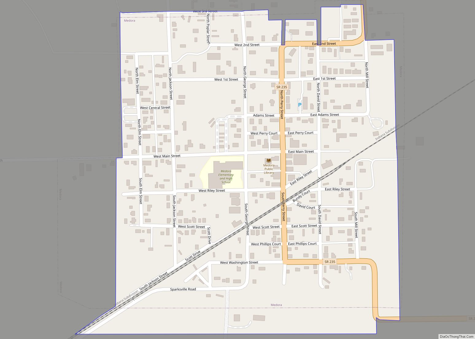
Medora is a town in Carr Township, Jackson County, Indiana, United States. The population was 693 at the 2010 census. Medora town overview: Name: Medora town LSAD Code: 43 LSAD Description: town (suffix) State: Indiana County: Jackson County Elevation: 528 ft (161 m) Total Area: 0.30 sq mi (0.79 km²) Land Area: 0.30 sq mi (0.79 km²) Water Area: 0.00 sq mi (0.00 km²) Total Population: ... Read more
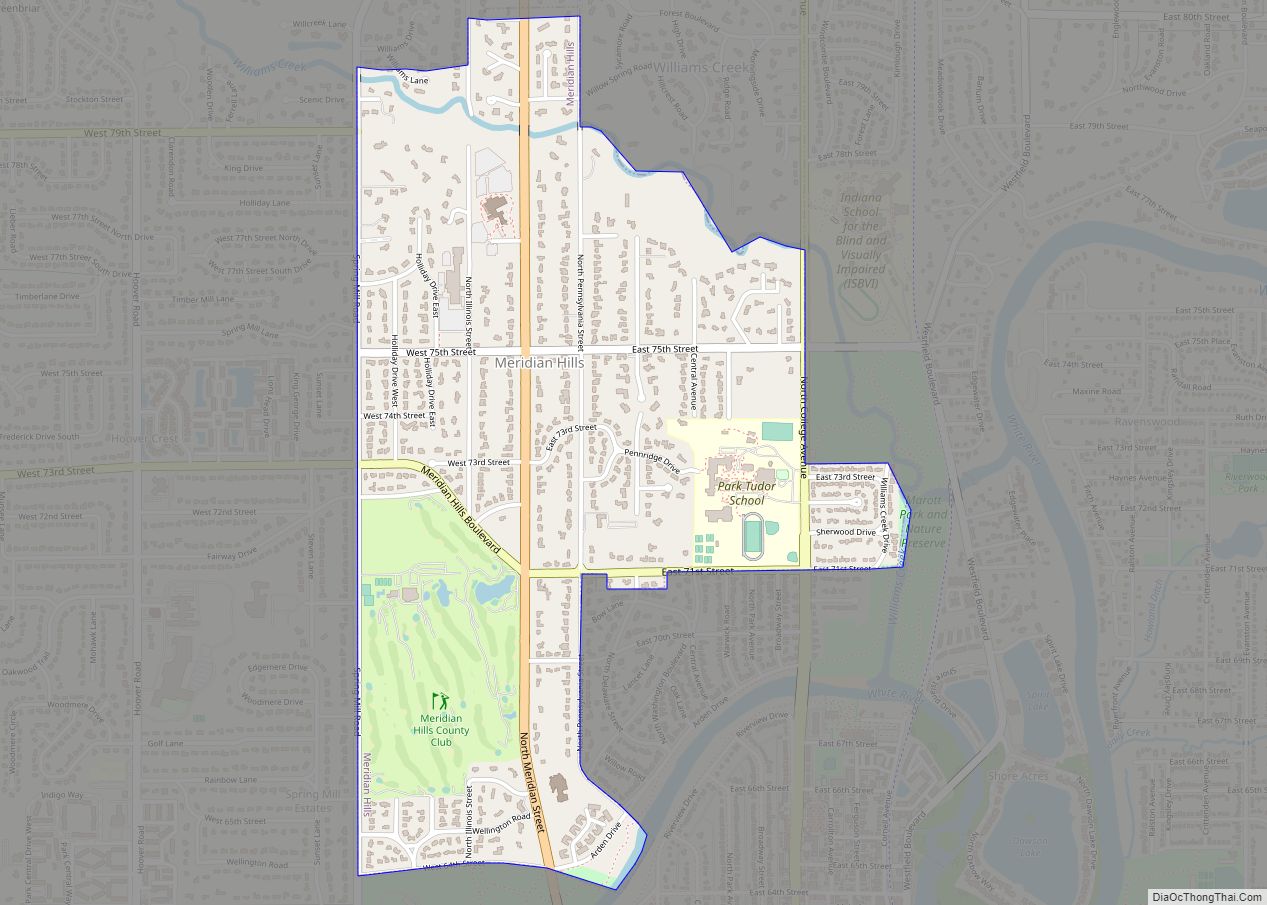
Meridian Hills is a town in Washington Township, Marion County, Indiana, about 8 miles (13 km) north of downtown Indianapolis. It had a population of 1,774 at the 2020 census, up from 1,616 in 2010. Meridian Hills town overview: Name: Meridian Hills town LSAD Code: 43 LSAD Description: town (suffix) State: Indiana County: Marion County Elevation: ... Read more
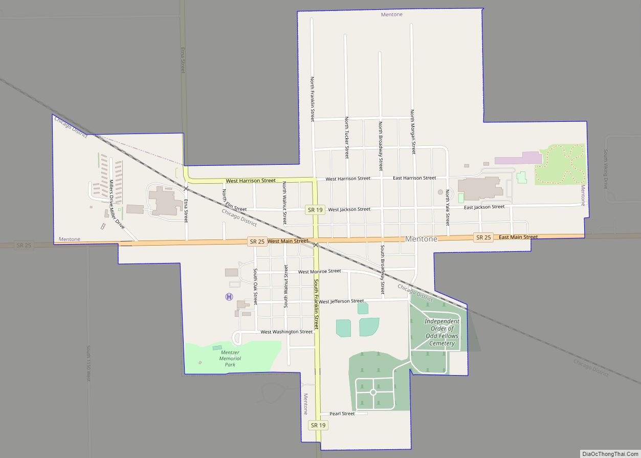
Mentone is a town in Harrison and Franklin townships, Kosciusko County, in the U.S. state of Indiana. Mentone is the self-proclaimed “Egg Basket of the Midwest” because of prolific commercial egg production in the area, and holds an Egg Festival annually in early June to celebrate its heritage. A large concrete egg stands near the ... Read more
Memphis is a census-designated place (CDP) in Clark County, Indiana, United States. The population was 695 at the 2010 census. Memphis CDP overview: Name: Memphis CDP LSAD Code: 57 LSAD Description: CDP (suffix) State: Indiana County: Clark County Elevation: 486 ft (148 m) Total Area: 2.62 sq mi (6.79 km²) Land Area: 2.60 sq mi (6.73 km²) Water Area: 0.02 sq mi (0.06 km²) Total Population: ... Read more
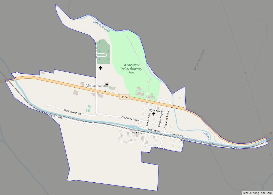
Metamora is an unincorporated town and census-designated place in Metamora Township, Franklin County, Indiana. The town was once a stop along the Whitewater Canal and is now primarily dependent on tourism. As of the 2010 census, it had a population of 188. Metamora CDP overview: Name: Metamora CDP LSAD Code: 57 LSAD Description: CDP (suffix) ... Read more
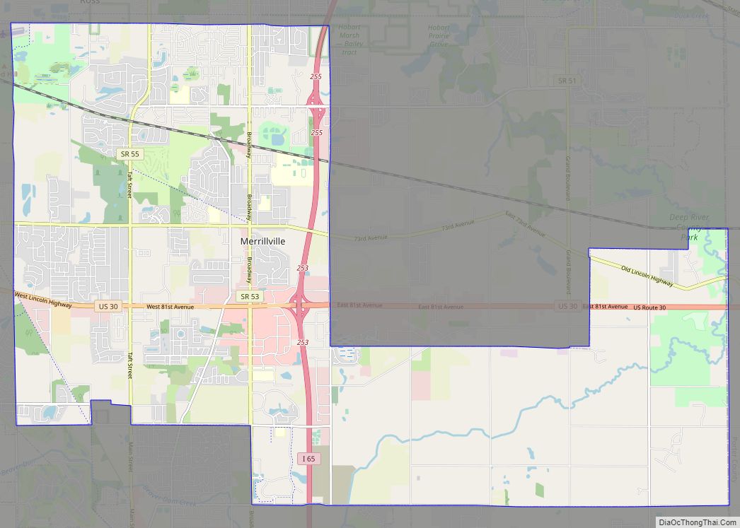
Merrillville /ˈmɛrəlvɪl/ is a town in Ross Township, Lake County, Indiana, United States. The population was 35,246 at the 2010 census. Merrillville is in east-central Lake County, in the Chicago metropolitan area. On January 1, 2015, Merrillville became the most populated town in Indiana, as Fishers in Hamilton County was converted from a town to ... Read more
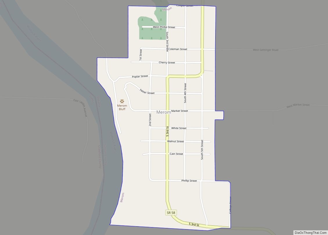
Merom is a town in Gill Township, Sullivan County, Indiana, United States. The population was 228 at the 2010 census. It is part of the Terre Haute Metropolitan Statistical Area. Nearby is Hallador Energy’s Merom Generating Station. Merom town overview: Name: Merom town LSAD Code: 43 LSAD Description: town (suffix) State: Indiana County: Sullivan County ... Read more
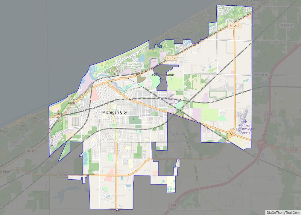
Michigan City is a city in LaPorte County, Indiana, United States. It is one of the two principal cities of the Michigan City-La Porte, Indiana Metropolitan statistical area, which is included in the Chicago-Naperville-Michigan City Combined statistical area. In the region known to locals as Michiana, the city is about 50 miles (80 km) east of ... Read more
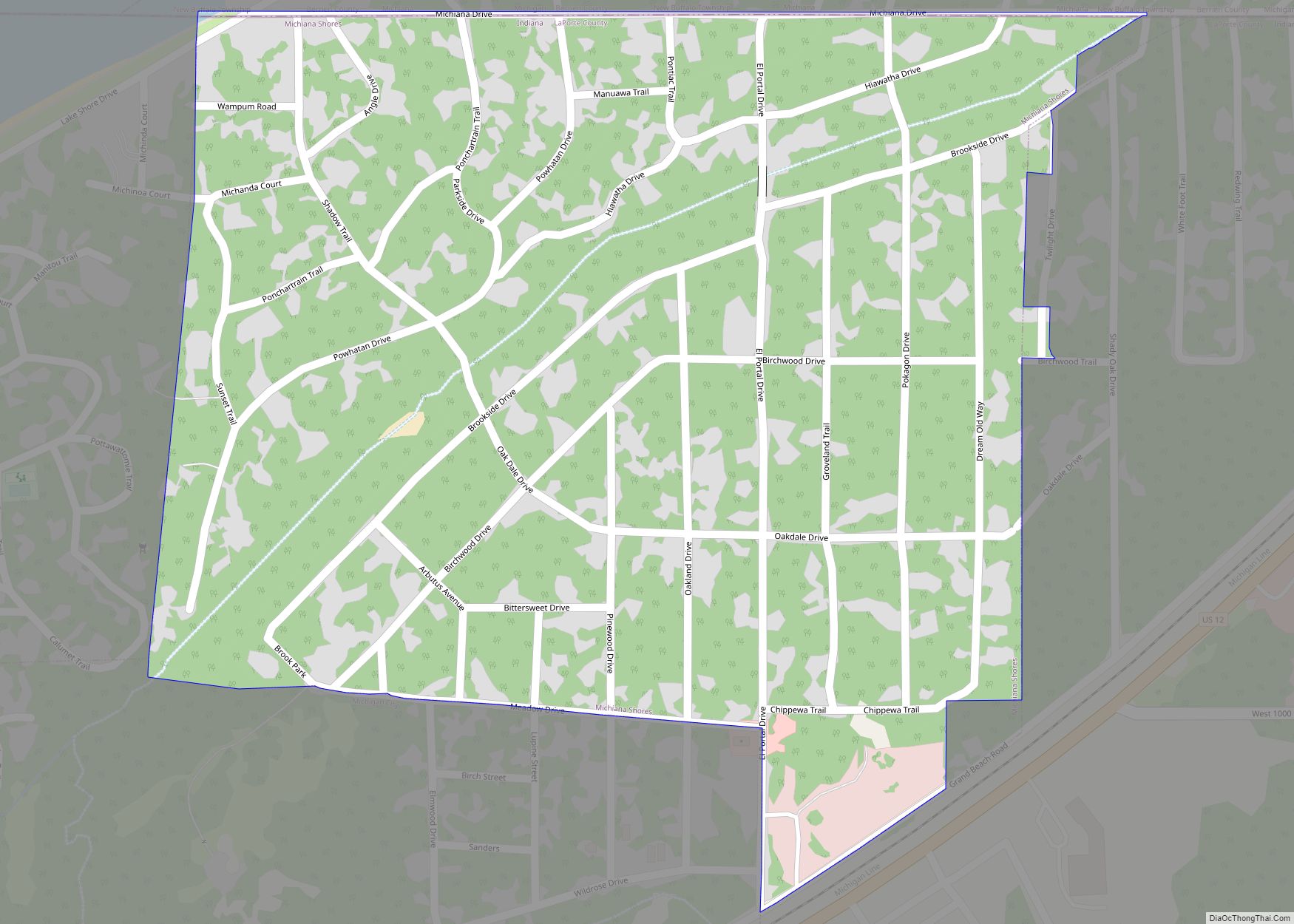
Michiana Shores is a town in Springfield and Michigan townships, LaPorte County, Indiana, United States. The population was 313 at the 2010 census. It is included in the Michigan City, Indiana–La Porte, Indiana Metropolitan Statistical Area. Michiana Shores is located in northwesternmost Springfield Township, and is the township’s sole incorporated community. Michiana Shores takes its ... Read more
