Memphis is a census-designated place (CDP) in Clark County, Indiana, United States. The population was 695 at the 2010 census.
| Name: | Memphis CDP |
|---|---|
| LSAD Code: | 57 |
| LSAD Description: | CDP (suffix) |
| State: | Indiana |
| County: | Clark County |
| Elevation: | 486 ft (148 m) |
| Total Area: | 2.62 sq mi (6.79 km²) |
| Land Area: | 2.60 sq mi (6.73 km²) |
| Water Area: | 0.02 sq mi (0.06 km²) |
| Total Population: | 1,077 |
| Population Density: | 414.55/sq mi (160.08/km²) |
| ZIP code: | 47143 |
| Area code: | 812 |
| FIPS code: | 1848384 |
| GNISfeature ID: | 1851803 |
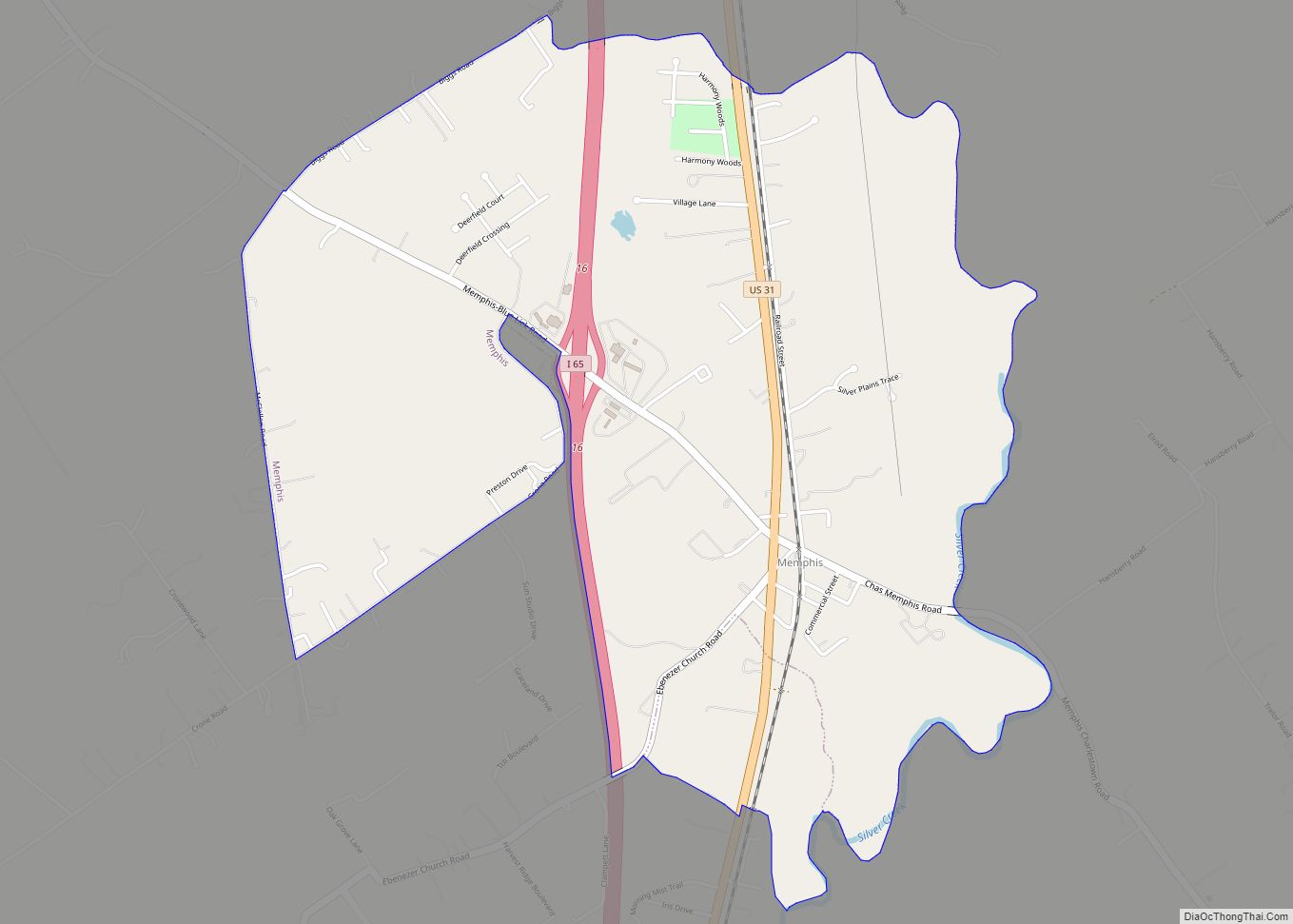
Online Interactive Map
Click on ![]() to view map in "full screen" mode.
to view map in "full screen" mode.
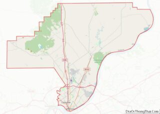
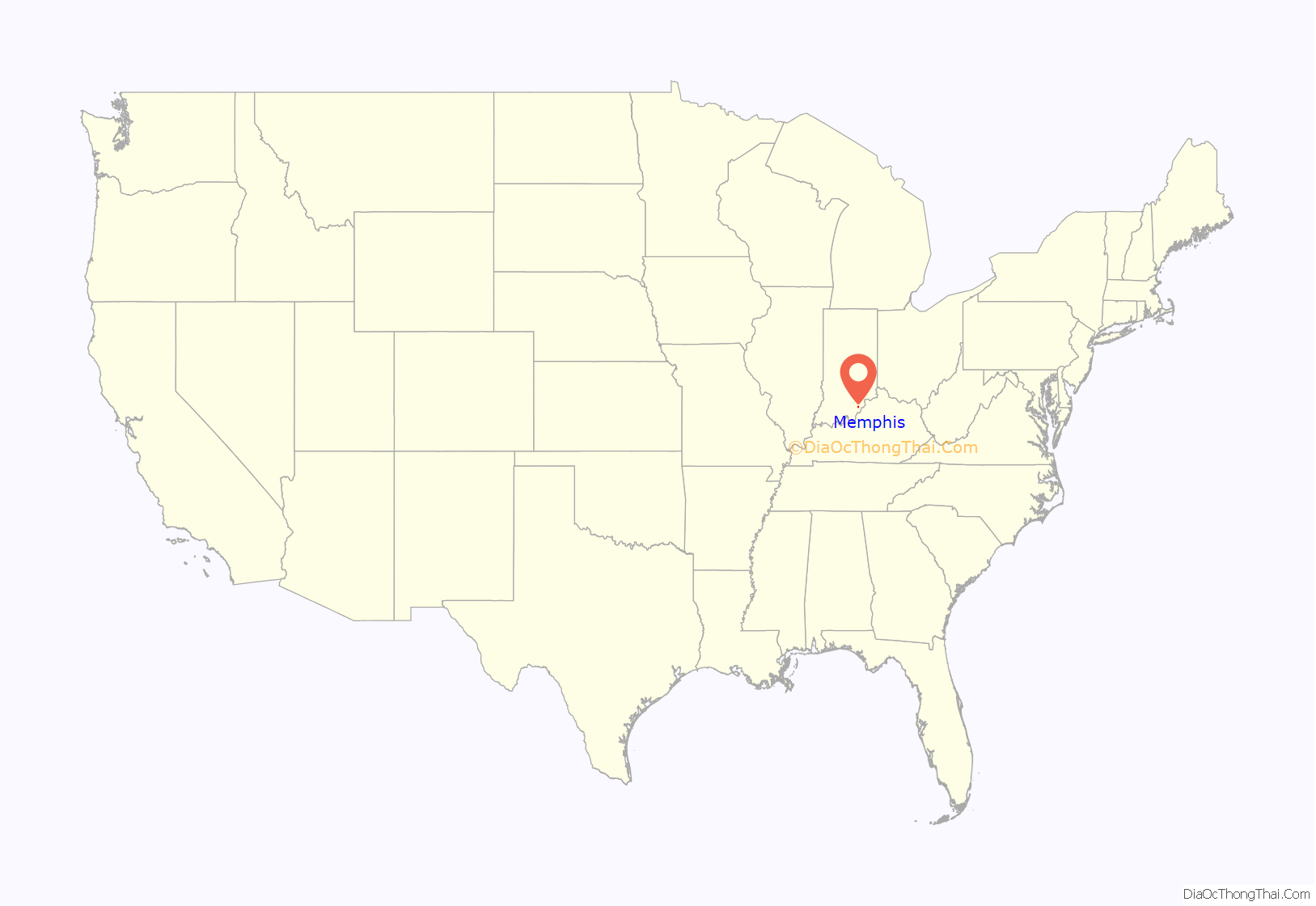
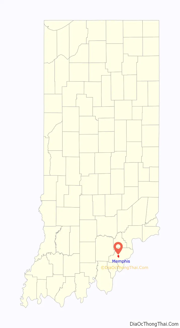
Memphis location map. Where is Memphis CDP?
History
A post office established at Memphis in 1854. The original settlers were from Memphis, Tennessee.
2012 tornado outbreak
On March 2, 2012, a tornado between Henryville and Memphis damaged 15 homes on Broadway. Homes were also damaged on Stricker Rd. Volunteers from as far as Germany and Singapore went to Memphis to help.
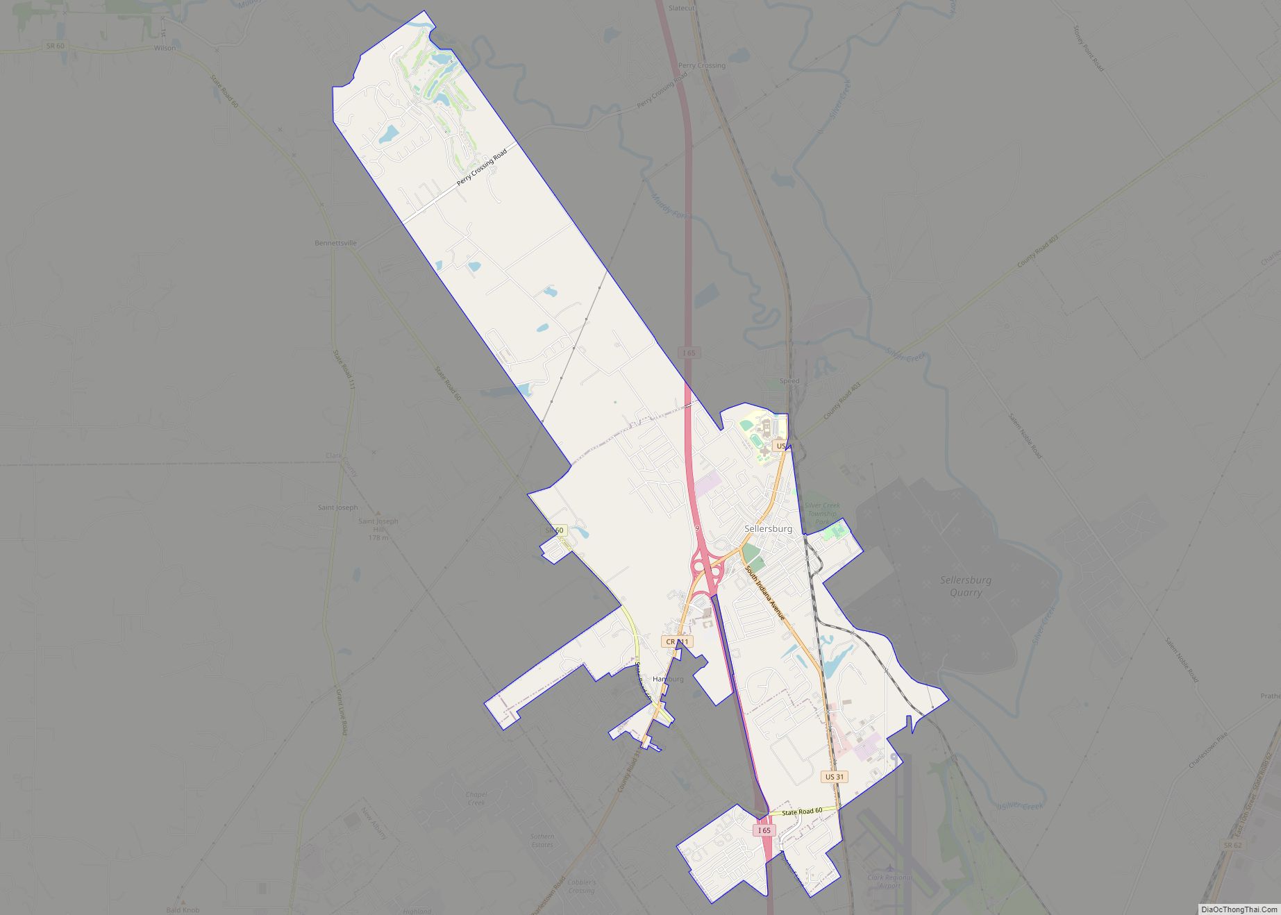
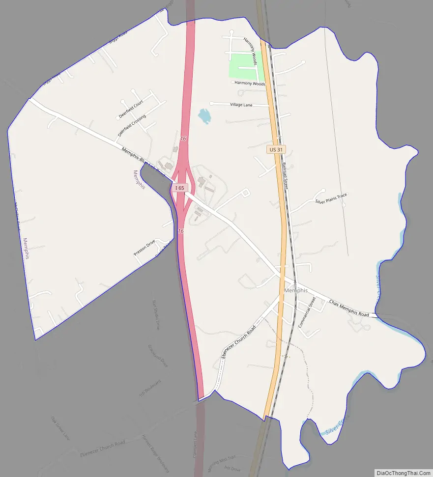
Memphis Road Map
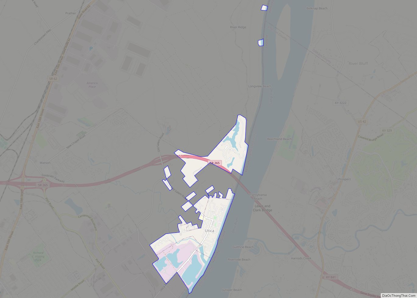
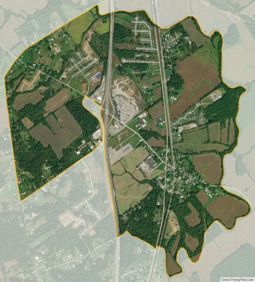
Memphis city Satellite Map
Geography
Memphis is located at 38°29′14″N 85°45′51″W / 38.48722°N 85.76417°W / 38.48722; -85.76417 (38.487110, -85.764223).
According to the United States Census Bureau, the CDP has a total area of 2.5 square miles (6.5 km), all land.
See also
Map of Indiana State and its subdivision:- Adams
- Allen
- Bartholomew
- Benton
- Blackford
- Boone
- Brown
- Carroll
- Cass
- Clark
- Clay
- Clinton
- Crawford
- Daviess
- De Kalb
- Dearborn
- Decatur
- Delaware
- Dubois
- Elkhart
- Fayette
- Floyd
- Fountain
- Franklin
- Fulton
- Gibson
- Grant
- Greene
- Hamilton
- Hancock
- Harrison
- Hendricks
- Henry
- Howard
- Huntington
- Jackson
- Jasper
- Jay
- Jefferson
- Jennings
- Johnson
- Knox
- Kosciusko
- LaGrange
- Lake
- Lake Michigan
- LaPorte
- Lawrence
- Madison
- Marion
- Marshall
- Martin
- Miami
- Monroe
- Montgomery
- Morgan
- Newton
- Noble
- Ohio
- Orange
- Owen
- Parke
- Perry
- Pike
- Porter
- Posey
- Pulaski
- Putnam
- Randolph
- Ripley
- Rush
- Saint Joseph
- Scott
- Shelby
- Spencer
- Starke
- Steuben
- Sullivan
- Switzerland
- Tippecanoe
- Tipton
- Union
- Vanderburgh
- Vermillion
- Vigo
- Wabash
- Warren
- Warrick
- Washington
- Wayne
- Wells
- White
- Whitley
- Alabama
- Alaska
- Arizona
- Arkansas
- California
- Colorado
- Connecticut
- Delaware
- District of Columbia
- Florida
- Georgia
- Hawaii
- Idaho
- Illinois
- Indiana
- Iowa
- Kansas
- Kentucky
- Louisiana
- Maine
- Maryland
- Massachusetts
- Michigan
- Minnesota
- Mississippi
- Missouri
- Montana
- Nebraska
- Nevada
- New Hampshire
- New Jersey
- New Mexico
- New York
- North Carolina
- North Dakota
- Ohio
- Oklahoma
- Oregon
- Pennsylvania
- Rhode Island
- South Carolina
- South Dakota
- Tennessee
- Texas
- Utah
- Vermont
- Virginia
- Washington
- West Virginia
- Wisconsin
- Wyoming