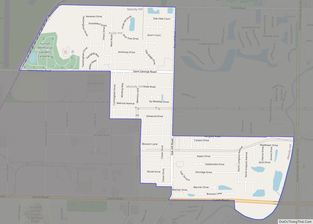
Melody Hill is a census-designated place (CDP) in Center Township, Vanderburgh County, in the U.S. state of Indiana. The population was 3,628 at the 2010 census.
| Name: | Melody Hill CDP |
|---|---|
| LSAD Code: | 57 |
| LSAD Description: | CDP (suffix) |
| State: | Indiana |
| County: | Vanderburgh County |
| Elevation: | 407 ft (124 m) |
| Total Area: | 1.38 sq mi (3.59 km²) |
| Land Area: | 1.37 sq mi (3.54 km²) |
| Water Area: | 0.02 sq mi (0.04 km²) |
| Total Population: | 3,689 |
| Population Density: | 2,696.64/sq mi (1,040.91/km²) |
| ZIP code: | 47711 |
| Area code: | 812 |
| FIPS code: | 1848330 |
| GNISfeature ID: | 2393124 |
Online Interactive Map
Click on ![]() to view map in "full screen" mode.
to view map in "full screen" mode.
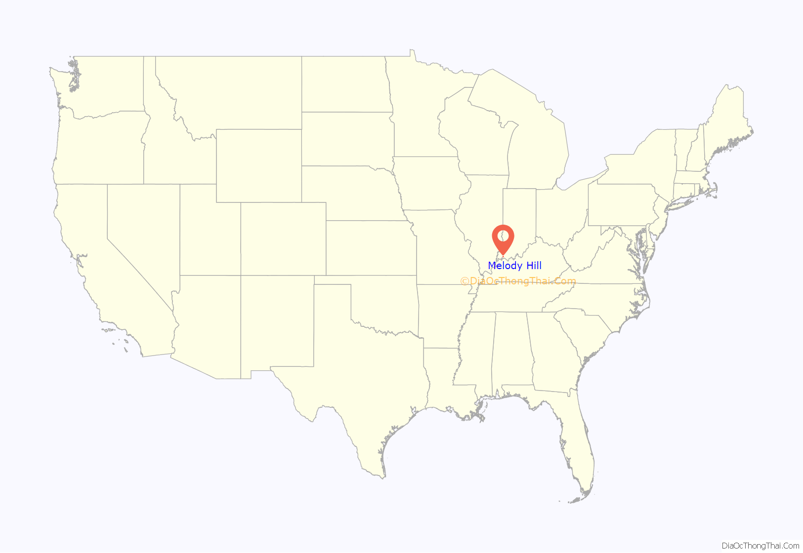
Melody Hill location map. Where is Melody Hill CDP?
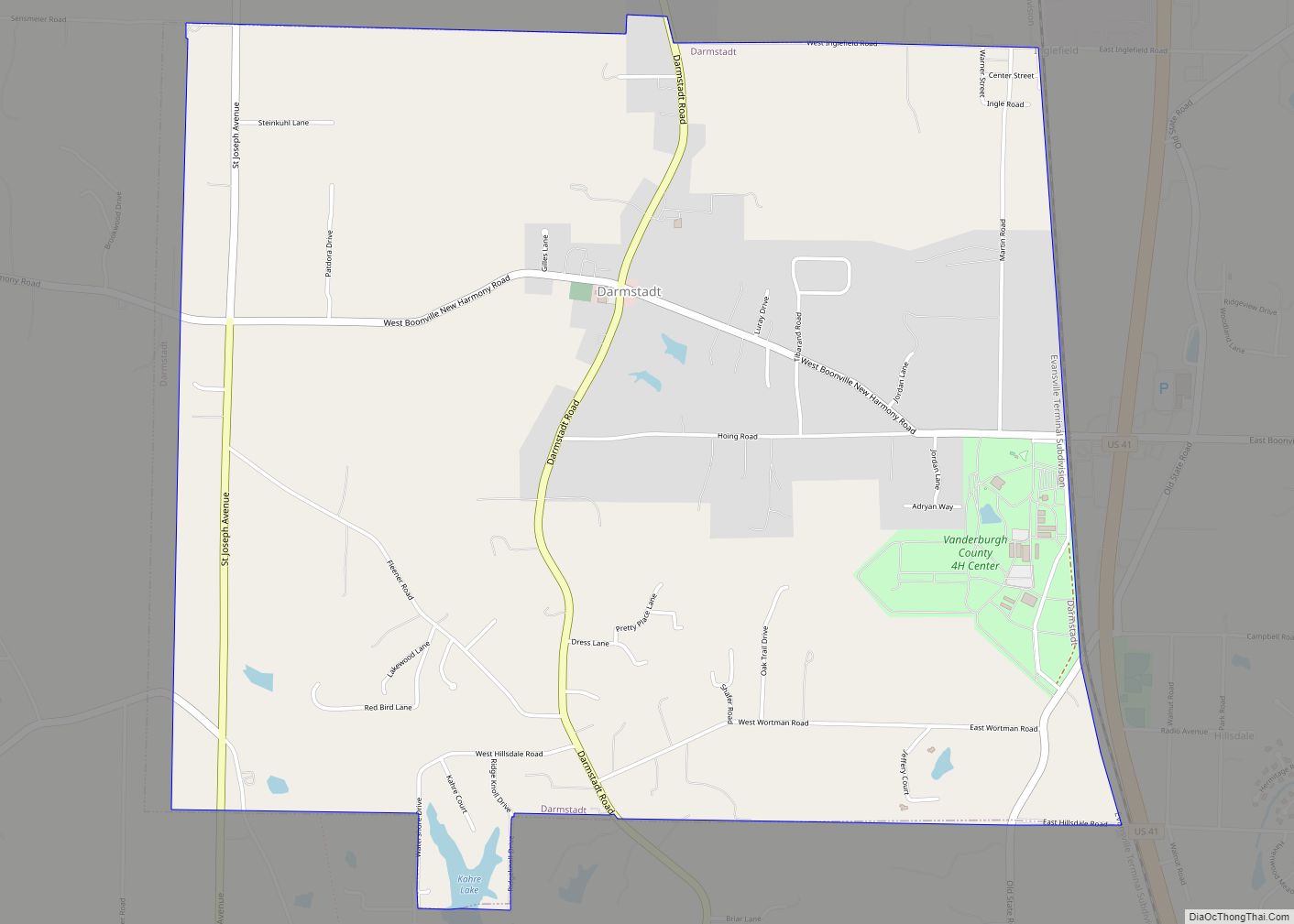
Melody Hill Road Map
Melody Hill city Satellite Map
Geography
According to the United States Census Bureau, the CDP has a total area of 1.4 square miles (3.6 km), of which 1.4 square miles (3.6 km) is land and 0.73% is water. The Census Bureau-created CDP of “Melody Hill” consists of the residential areas south of the Evansville Regional Airport, north of Lynch Road, west of Green River Road, and east of the industrial area that includes Whirlpool (the industrial plants are not included as they are in the Evansville city limits.). Melody Hill includes older subdivisions such as Melody Hills, Cloverlawn Estates, Ridgeview Estates, and the Bergdolt Rd. area, as well as several newer subdivisions.
See also
Map of Indiana State and its subdivision:- Adams
- Allen
- Bartholomew
- Benton
- Blackford
- Boone
- Brown
- Carroll
- Cass
- Clark
- Clay
- Clinton
- Crawford
- Daviess
- De Kalb
- Dearborn
- Decatur
- Delaware
- Dubois
- Elkhart
- Fayette
- Floyd
- Fountain
- Franklin
- Fulton
- Gibson
- Grant
- Greene
- Hamilton
- Hancock
- Harrison
- Hendricks
- Henry
- Howard
- Huntington
- Jackson
- Jasper
- Jay
- Jefferson
- Jennings
- Johnson
- Knox
- Kosciusko
- LaGrange
- Lake
- Lake Michigan
- LaPorte
- Lawrence
- Madison
- Marion
- Marshall
- Martin
- Miami
- Monroe
- Montgomery
- Morgan
- Newton
- Noble
- Ohio
- Orange
- Owen
- Parke
- Perry
- Pike
- Porter
- Posey
- Pulaski
- Putnam
- Randolph
- Ripley
- Rush
- Saint Joseph
- Scott
- Shelby
- Spencer
- Starke
- Steuben
- Sullivan
- Switzerland
- Tippecanoe
- Tipton
- Union
- Vanderburgh
- Vermillion
- Vigo
- Wabash
- Warren
- Warrick
- Washington
- Wayne
- Wells
- White
- Whitley
- Alabama
- Alaska
- Arizona
- Arkansas
- California
- Colorado
- Connecticut
- Delaware
- District of Columbia
- Florida
- Georgia
- Hawaii
- Idaho
- Illinois
- Indiana
- Iowa
- Kansas
- Kentucky
- Louisiana
- Maine
- Maryland
- Massachusetts
- Michigan
- Minnesota
- Mississippi
- Missouri
- Montana
- Nebraska
- Nevada
- New Hampshire
- New Jersey
- New Mexico
- New York
- North Carolina
- North Dakota
- Ohio
- Oklahoma
- Oregon
- Pennsylvania
- Rhode Island
- South Carolina
- South Dakota
- Tennessee
- Texas
- Utah
- Vermont
- Virginia
- Washington
- West Virginia
- Wisconsin
- Wyoming
