Michigan City is a city in LaPorte County, Indiana, United States. It is one of the two principal cities of the Michigan City-La Porte, Indiana Metropolitan statistical area, which is included in the Chicago-Naperville-Michigan City Combined statistical area. In the region known to locals as Michiana, the city is about 50 miles (80 km) east of Chicago and 40 miles (64 km) west of South Bend. It had a population of 31,479 at the 2010 census.
Michigan City is noted for both its proximity to Indiana Dunes National Park and for bordering Lake Michigan. It receives a fair amount of tourism during the summer, especially by residents of Chicago and nearby cities in Northern Indiana. The lighthouse is a notable symbol of the city and is incorporated in its official seal and formerly in the heading of its former newspaper, The News-Dispatch.
| Name: | Michigan City city |
|---|---|
| LSAD Code: | 25 |
| LSAD Description: | city (suffix) |
| State: | Indiana |
| County: | LaPorte County |
| Elevation: | 627 ft (191 m) |
| Total Area: | 20.59 sq mi (53.33 km²) |
| Land Area: | 20.41 sq mi (52.85 km²) |
| Water Area: | 0.18 sq mi (0.48 km²) |
| Total Population: | 32,075 |
| Population Density: | 1,571.76/sq mi (606.87/km²) |
| ZIP code: | 46360-46361 |
| Area code: | 219 |
| FIPS code: | 1848798 |
| GNISfeature ID: | 0439078 |
| Website: | emichigancity.com |
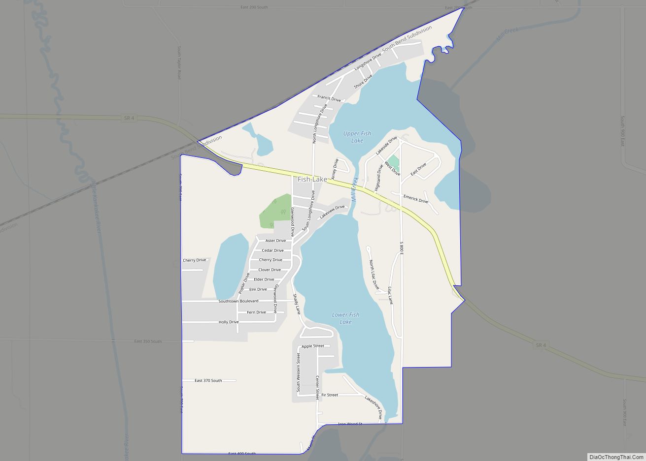
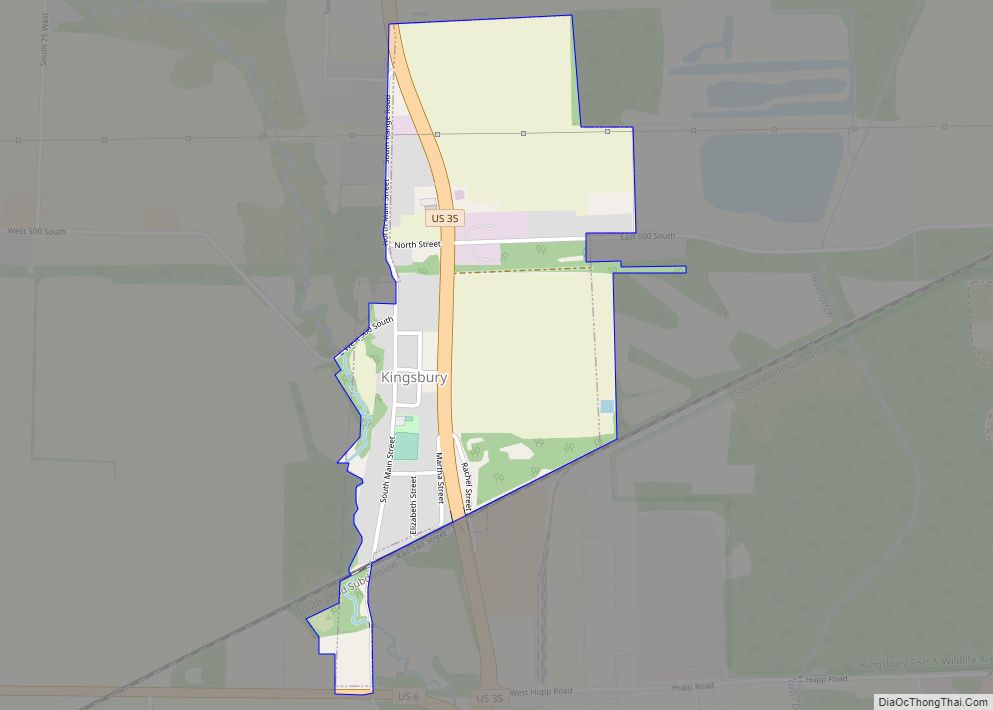
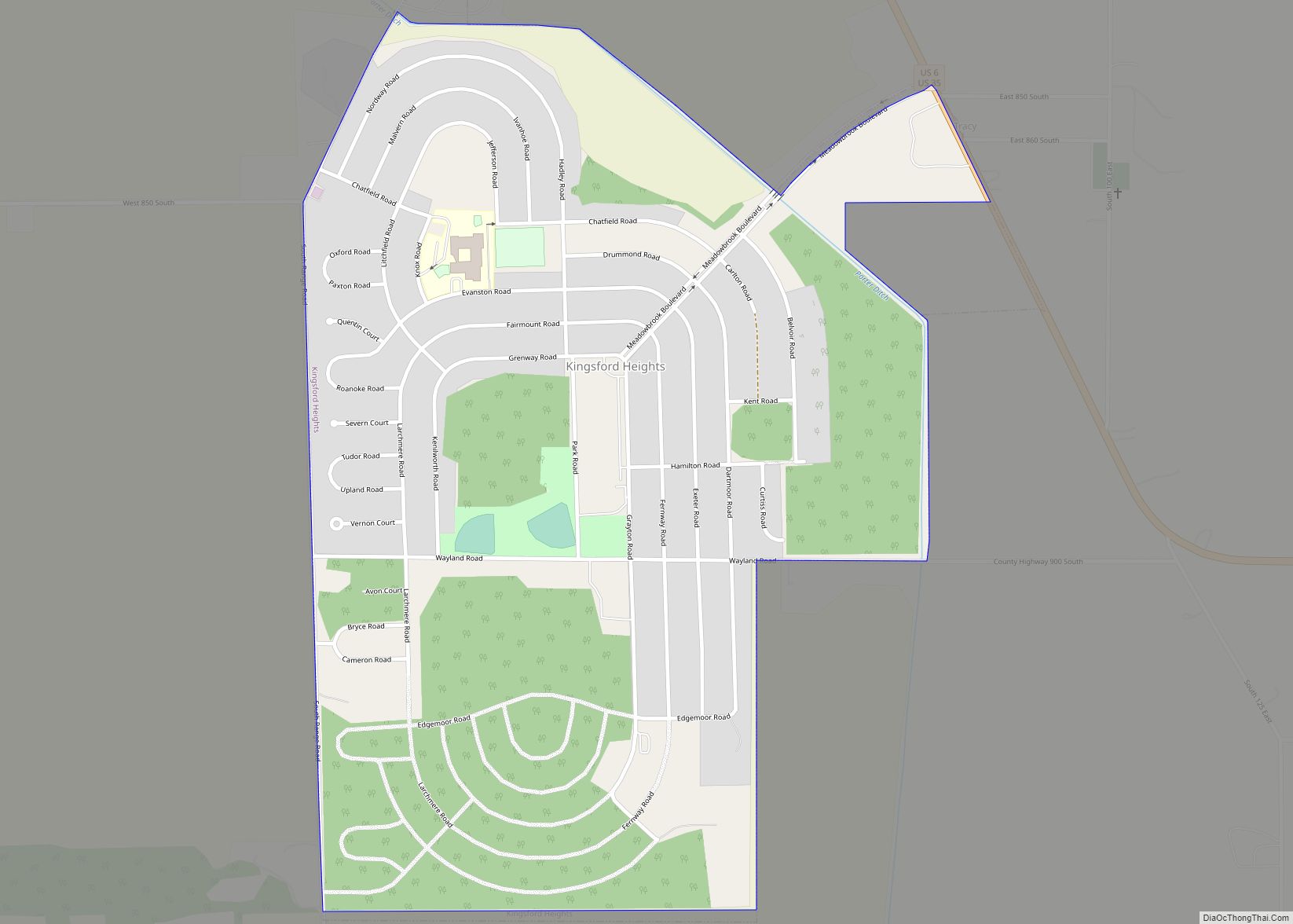
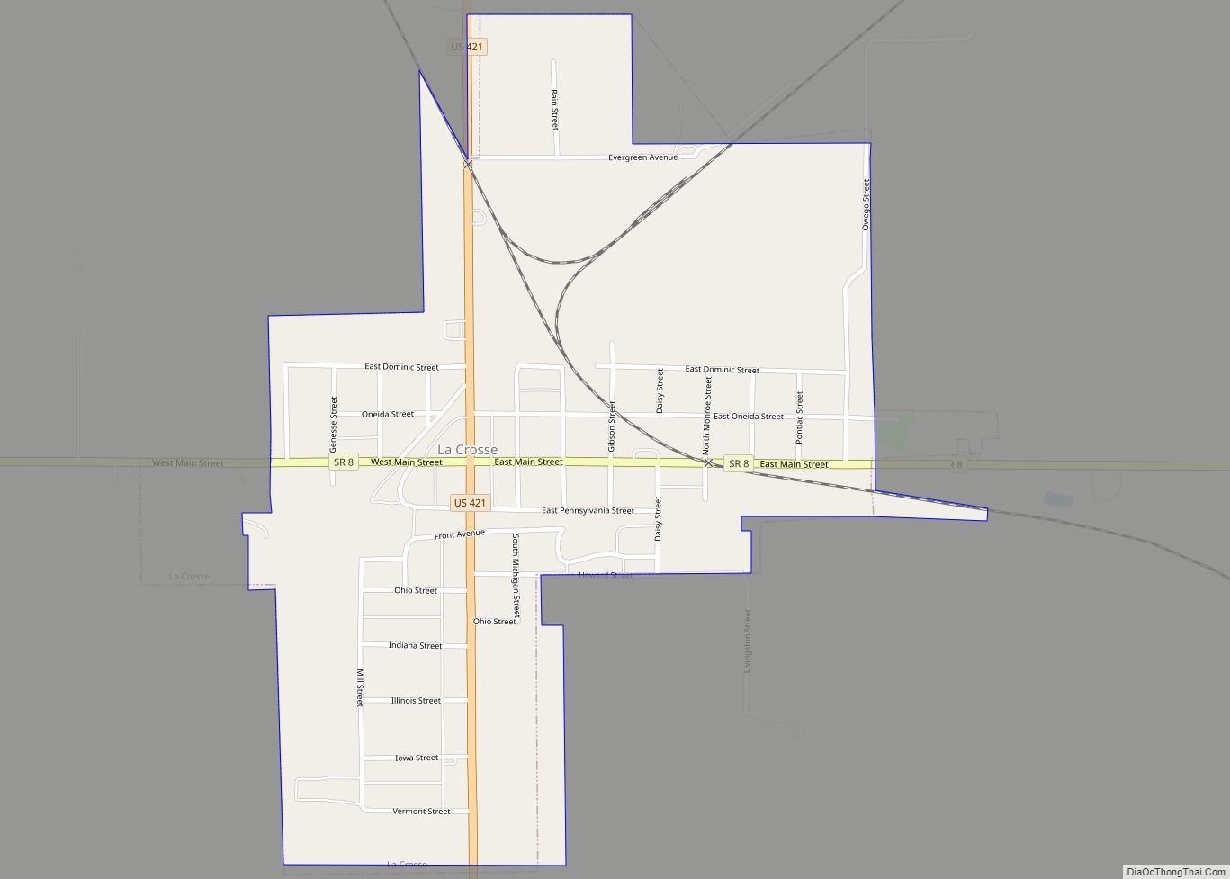
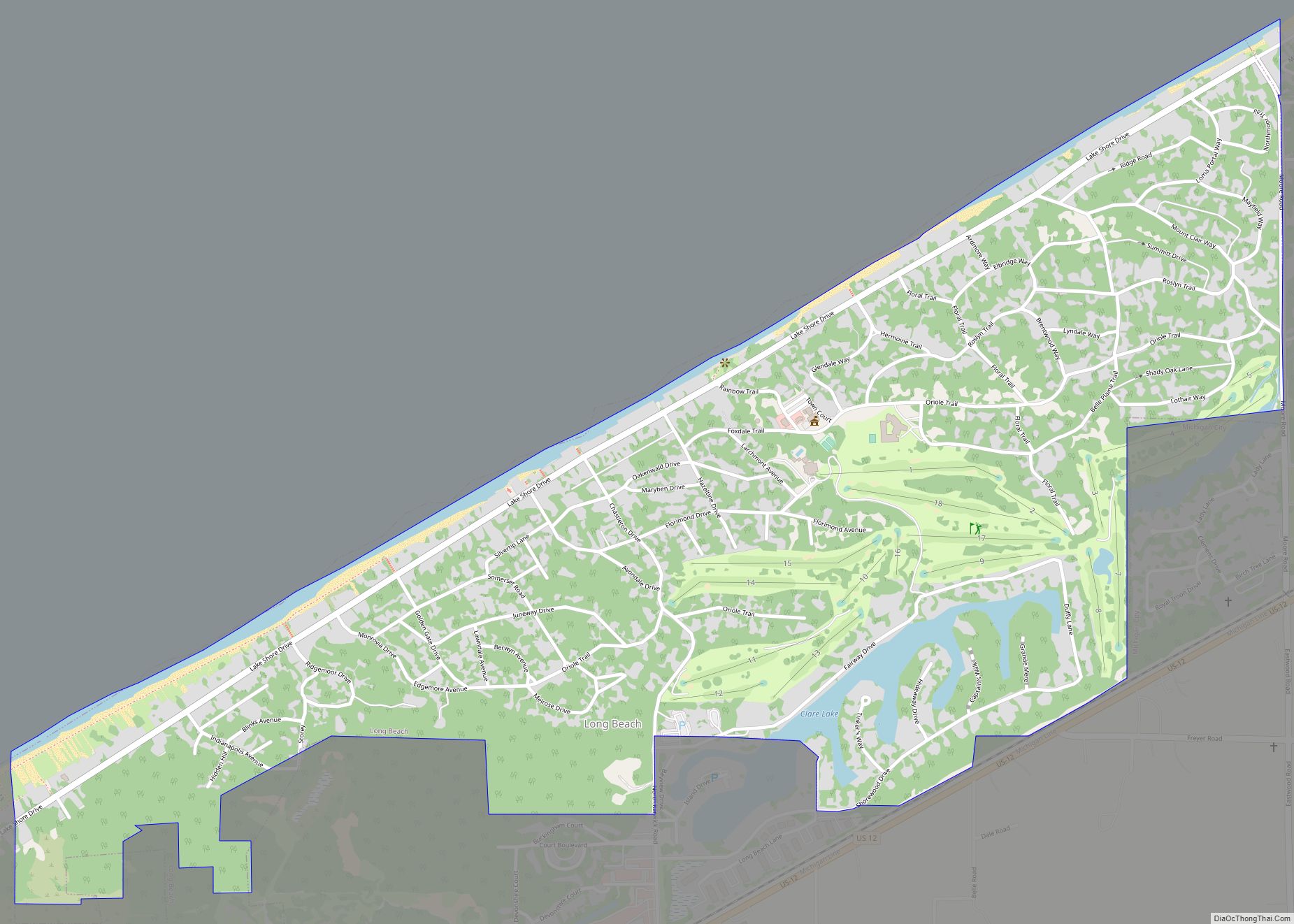
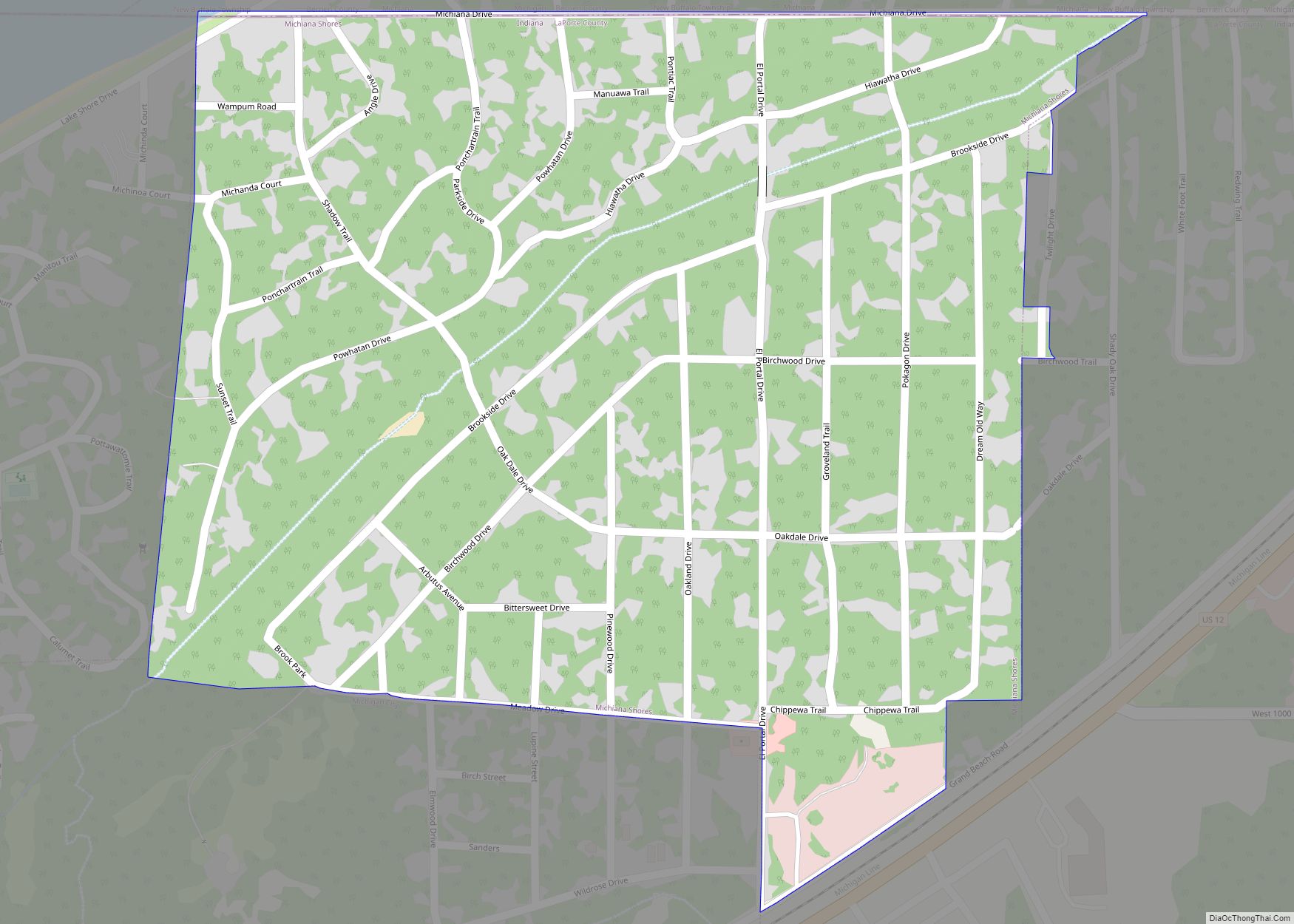
Online Interactive Map
Click on ![]() to view map in "full screen" mode.
to view map in "full screen" mode.
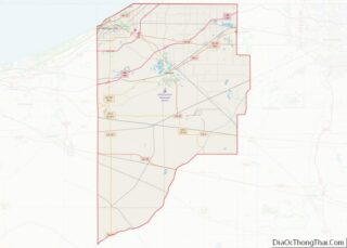
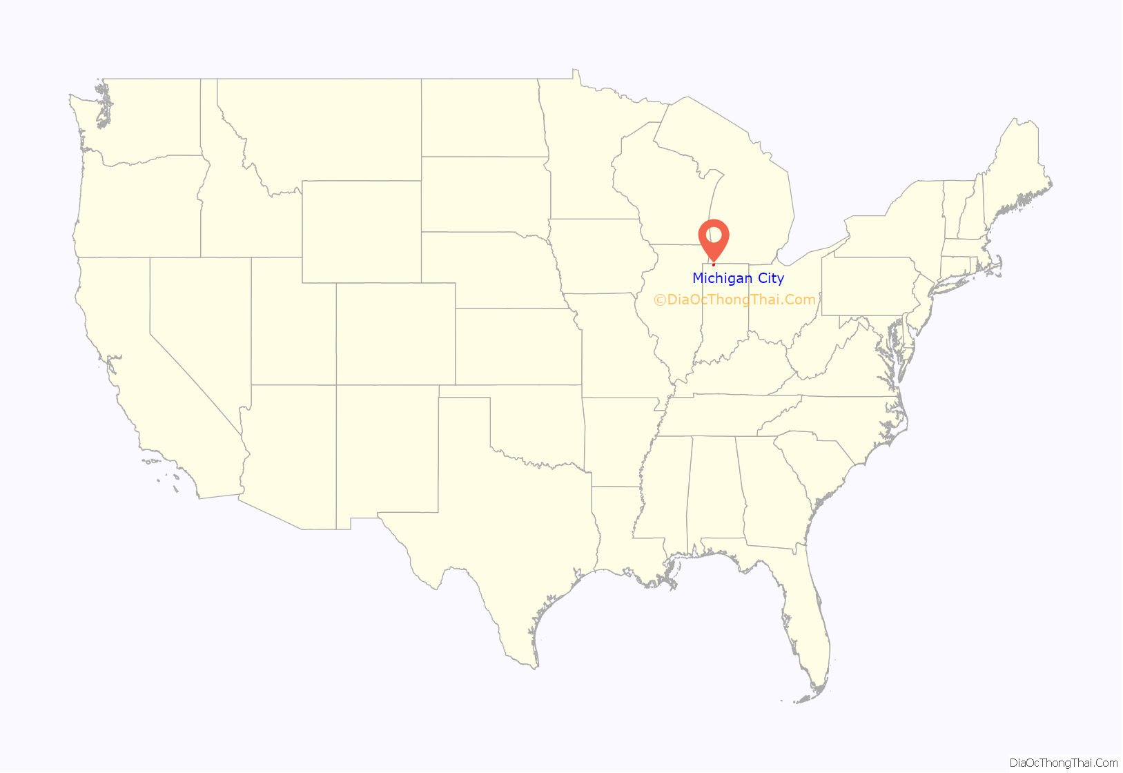
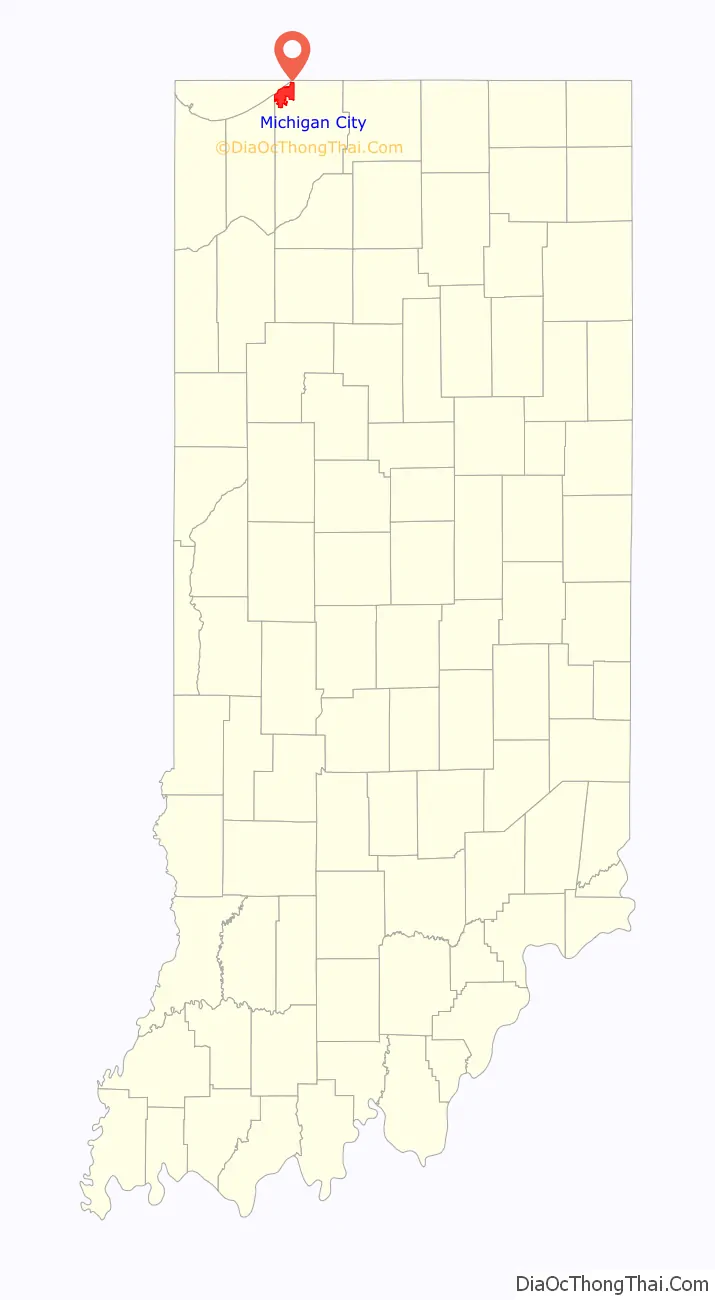
Michigan City location map. Where is Michigan City city?
History
Michigan City’s origins date to 1830, when the land for the city was first purchased by Isaac C. Elston, a real estate speculator who had made his fortune in Crawfordsville, Indiana. He paid about $200 total for 160 acres (65 ha) of land. The now-closed Elston Middle School, formerly Elston High School, was named after the founder.
The city was incorporated in 1836, by which point it had 1,500 residents, along with a post office, a newspaper, a church, a commercial district and ten hotels. In these six years the town had grown to a size of 15 square miles (39 km). That same year, the State Bank of Indiana opened a branch in town.
Michigan City was the 2nd city in Indiana to decriminalize marijuana, with marijuana laws more liberal than those of Marion County, the first city or county to decriminalize marijuana, allowing medical marijuana to be prescribed as early as 2016. Delta 9 is officially decriminalized in Michigan City.
Michigan City hosted the sailing competitions of the 1987 Pan American Games on Lake Michigan. Indianapolis, roughly 150 miles (240 km) southeast, was the host city.
Michigan City Road Map
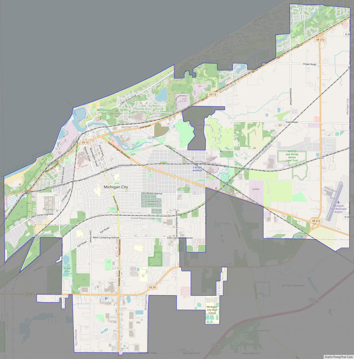
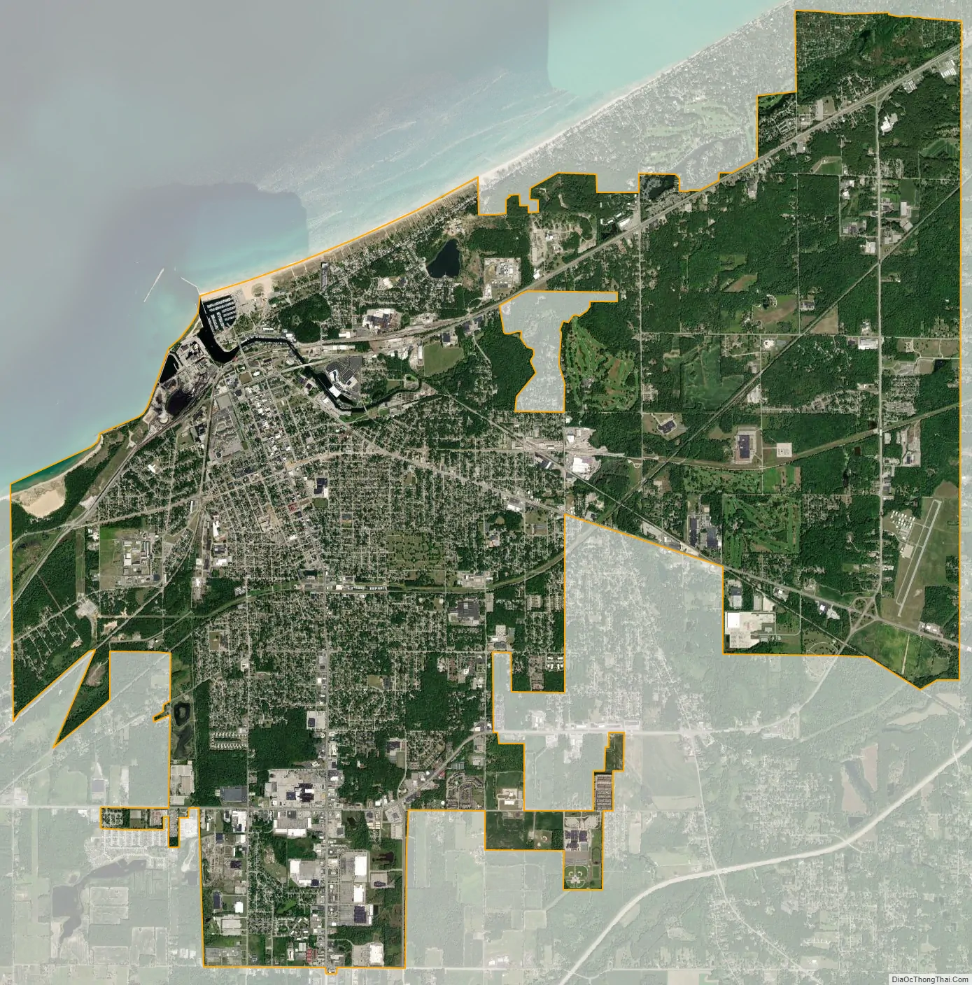
Michigan City city Satellite Map
Geography
According to the 2010 census, Michigan City has an area of 22.855 square miles (59.19 km), of which 19.59 square miles (50.74 km) (or 85.71%) is land and 3.265 square miles (8.46 km) (or 14.29%) is water.
Michigan City is home to Trail Creek, which flows into Lake Michigan.
Climate
The highest recorded temperature was 104 °F (40 °C) in 1953. The lowest recorded temperature was −23 °F (−31 °C) in 1994.
The city has a usual weather pattern for a temperate region, with thunderstorms in the summer and snow during winter. Summers are often warm and humid. Due to its location next to Lake Michigan the city frequently experiences lake-effect snows and rain showers.
See also
Map of Indiana State and its subdivision:- Adams
- Allen
- Bartholomew
- Benton
- Blackford
- Boone
- Brown
- Carroll
- Cass
- Clark
- Clay
- Clinton
- Crawford
- Daviess
- De Kalb
- Dearborn
- Decatur
- Delaware
- Dubois
- Elkhart
- Fayette
- Floyd
- Fountain
- Franklin
- Fulton
- Gibson
- Grant
- Greene
- Hamilton
- Hancock
- Harrison
- Hendricks
- Henry
- Howard
- Huntington
- Jackson
- Jasper
- Jay
- Jefferson
- Jennings
- Johnson
- Knox
- Kosciusko
- LaGrange
- Lake
- Lake Michigan
- LaPorte
- Lawrence
- Madison
- Marion
- Marshall
- Martin
- Miami
- Monroe
- Montgomery
- Morgan
- Newton
- Noble
- Ohio
- Orange
- Owen
- Parke
- Perry
- Pike
- Porter
- Posey
- Pulaski
- Putnam
- Randolph
- Ripley
- Rush
- Saint Joseph
- Scott
- Shelby
- Spencer
- Starke
- Steuben
- Sullivan
- Switzerland
- Tippecanoe
- Tipton
- Union
- Vanderburgh
- Vermillion
- Vigo
- Wabash
- Warren
- Warrick
- Washington
- Wayne
- Wells
- White
- Whitley
- Alabama
- Alaska
- Arizona
- Arkansas
- California
- Colorado
- Connecticut
- Delaware
- District of Columbia
- Florida
- Georgia
- Hawaii
- Idaho
- Illinois
- Indiana
- Iowa
- Kansas
- Kentucky
- Louisiana
- Maine
- Maryland
- Massachusetts
- Michigan
- Minnesota
- Mississippi
- Missouri
- Montana
- Nebraska
- Nevada
- New Hampshire
- New Jersey
- New Mexico
- New York
- North Carolina
- North Dakota
- Ohio
- Oklahoma
- Oregon
- Pennsylvania
- Rhode Island
- South Carolina
- South Dakota
- Tennessee
- Texas
- Utah
- Vermont
- Virginia
- Washington
- West Virginia
- Wisconsin
- Wyoming