Merrillville /ˈmɛrəlvɪl/ is a town in Ross Township, Lake County, Indiana, United States. The population was 35,246 at the 2010 census. Merrillville is in east-central Lake County, in the Chicago metropolitan area. On January 1, 2015, Merrillville became the most populated town in Indiana, as Fishers in Hamilton County was converted from a town to a city. The town serves as a major shopping hub for Northwest Indiana.
| Name: | Merrillville town |
|---|---|
| LSAD Code: | 43 |
| LSAD Description: | town (suffix) |
| State: | Indiana |
| County: | Lake County |
| Elevation: | 656 ft (200 m) |
| Total Area: | 33.29 sq mi (86.21 km²) |
| Land Area: | 33.24 sq mi (86.08 km²) |
| Water Area: | 0.05 sq mi (0.12 km²) |
| Total Population: | 36,444 |
| Population Density: | 1,096.49/sq mi (423.36/km²) |
| ZIP code: | 46410, 46411, 46342(Partial) |
| Area code: | 219 |
| FIPS code: | 1848528 |
| GNISfeature ID: | 0439028 |
| Website: | www.merrillville.in.gov |
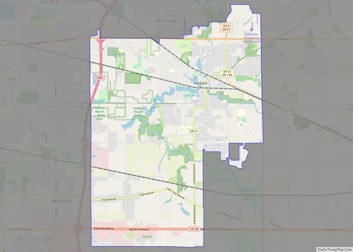
Online Interactive Map
Click on ![]() to view map in "full screen" mode.
to view map in "full screen" mode.
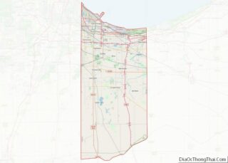
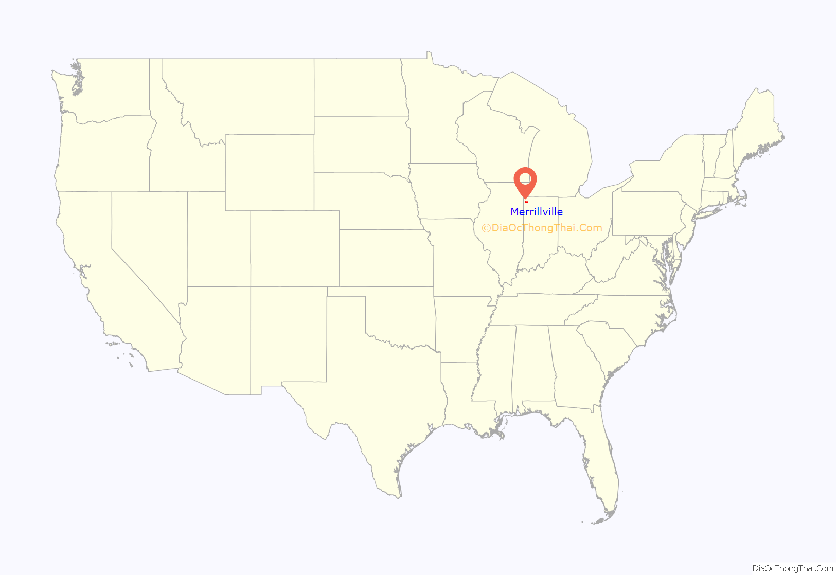
Merrillville location map. Where is Merrillville town?

History
Merrillville occupies what used to be woodland belonging to the Potawatomi Indians. In 1834, a clearing was created for ceremonial purposes and called McGwinn Village. A year later, a white man, Jeremiah Wiggins, settled in the place; McGwinn Village became Wiggins Point.
Wiggins Point became a well-known stop for wagon trains heading to Joliet, Illinois along the Sauk Trail (also called the Sac Trail), an old Indian trail. At one time, 16 trails radiated outward from Wiggins Point. In 1838, Wiggins died. Sometime afterward, local settlers renamed the place Centerville. Later still, it was renamed Merrillville after the brothers Dudley and William Merrill. Dudley Merrill operated a hotel and store in Centerville, and his son John P. Merrill was a Township Trustee.
Nearby, in the same former Potawatomi hunting grounds, other settlements had sprung up. Near Deep River creek was a settlement named Deep River; near Turkey Creek was another settlement with that creek’s name. Others included Ainsworth, Lottaville, and Rexville. At one time, the post office for the area was named Lottaville.
In 1848, all of these settlements, including Merrillville (that is, the old McGwinn Village) were collected into one and called Ross Township. As time went by, bits and pieces of Ross Township were taken by Hobart and Crown Point when those towns incorporated.
In 1971, the area officially became Merrillville (which now includes the old Merrillville as well as other settlements nearby) and was incorporated as a town under Indiana law. During this time, the majority of the town’s growth was due to white flight from Gary.
In 1993, Merrillville tried to annex unincorporated Winfield Township to get more land. The residents blocked Merrillville by creating the town of Winfield.
In 2009, a pedestrian bridge at Hidden Lake Park collapsed, injuring at least 25 people The catastrophe occurred around 10 PM after the annual Fourth of July fireworks display, when several dozen people attempted to cross the wood suspension bridge. Police officers stationed at either side of the bridge were unable to stop the advancing parkgoers, and with numerous people jumping up and down the 30-year-old bridge collapsed, sending somewhere around 50 people into the waters of Hidden Lake.
The Morgan-Skinner-Boyd Homestead and John Wood Old Mill are listed in the National Register of Historic Places.
Merrillville Road Map

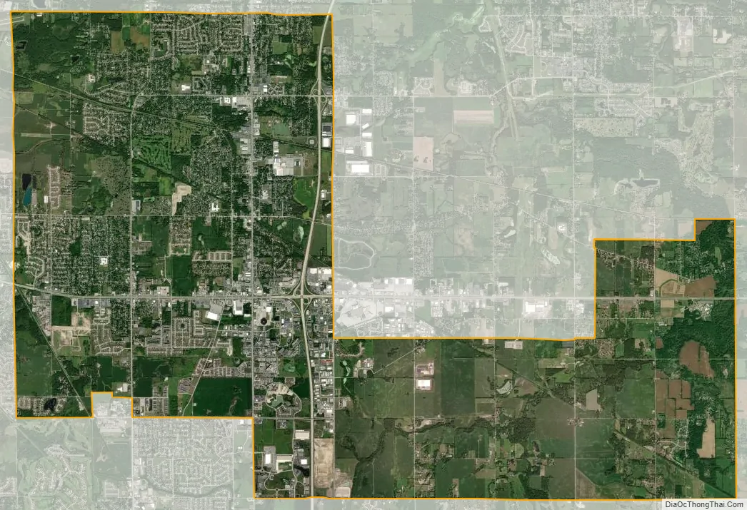
Merrillville city Satellite Map
Geography
Merrillville is located at 41°29′08″N 87°20′07″W / 41.485669°N 87.335390°W / 41.485669; -87.335390.
According to the 2010 census, Merrillville has a total area of 33.26 square miles (86.14 km), of which 33.22 square miles (86.04 km) (or 99.88%) is land and 0.04 square miles (0.10 km) (or 0.12%) is water.
The town is centered on the intersection of U.S. Route 30 and Interstate 65.
The Lincoln Highway runs through Merrillville. The original alignment of Lincoln Highway is known as 73rd Avenue (also called Old Lincoln Highway) in Merrillville, while the current Lincoln Highway (US 30) is known as 81st Avenue. State Road 53 (Broadway) and State Road 55 (Taft Street) traverse the town from north to south.
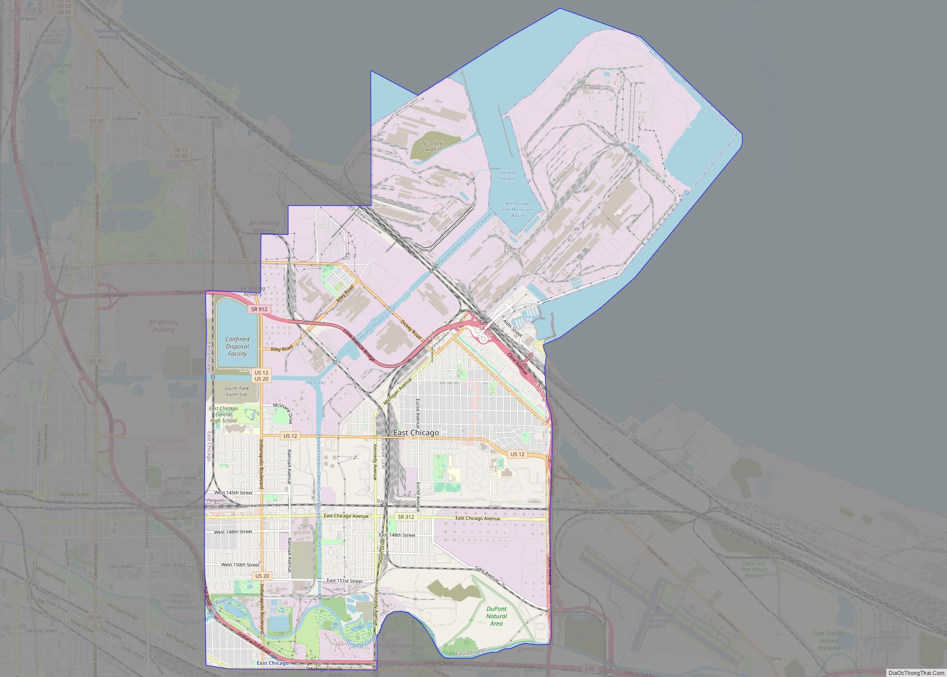
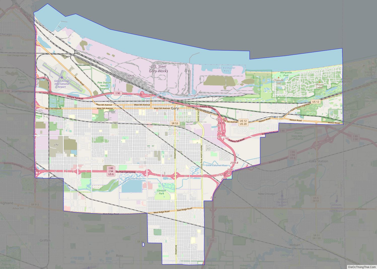
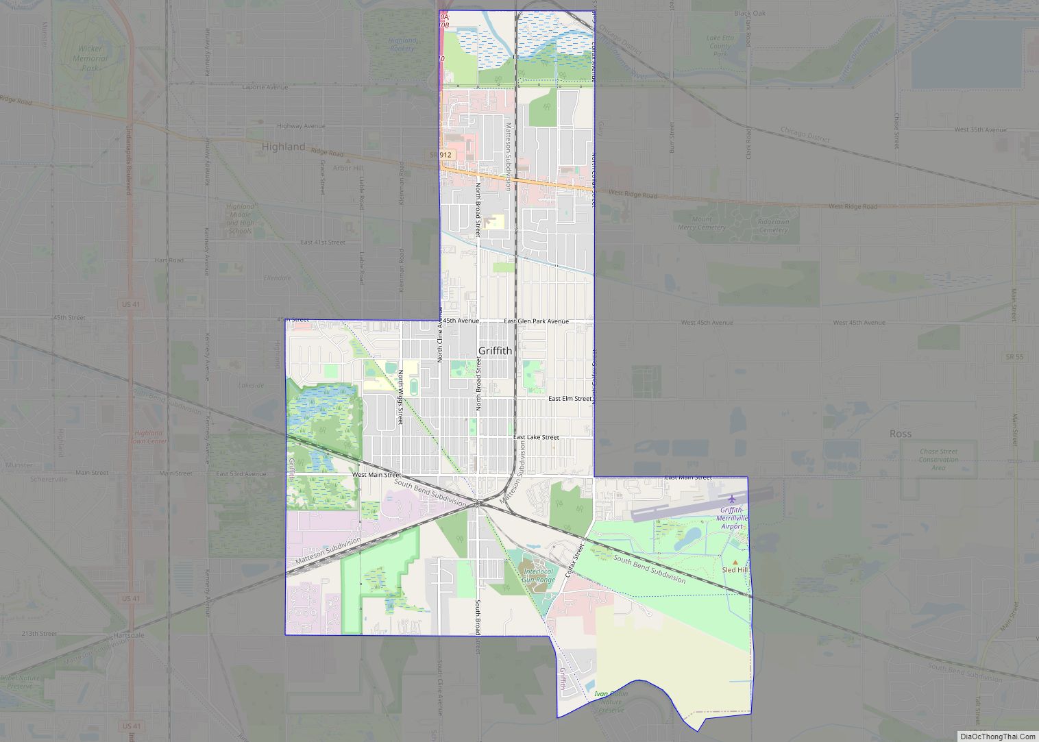
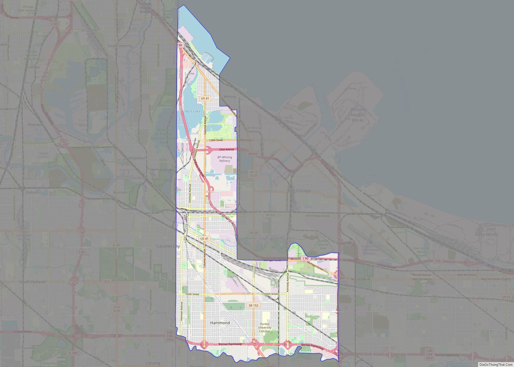
Merrillville’s asymmetric shape results in numerous boundaries with other municipalities. It is bordered by Gary and unincorporated Calumet Township, Lake County, to the north; Hobart to the northeast; Union Township, Porter County, to the east; Winfield and Crown Point to the south; Schererville to the west; and Griffith to the northwest.
See also
Map of Indiana State and its subdivision:- Adams
- Allen
- Bartholomew
- Benton
- Blackford
- Boone
- Brown
- Carroll
- Cass
- Clark
- Clay
- Clinton
- Crawford
- Daviess
- De Kalb
- Dearborn
- Decatur
- Delaware
- Dubois
- Elkhart
- Fayette
- Floyd
- Fountain
- Franklin
- Fulton
- Gibson
- Grant
- Greene
- Hamilton
- Hancock
- Harrison
- Hendricks
- Henry
- Howard
- Huntington
- Jackson
- Jasper
- Jay
- Jefferson
- Jennings
- Johnson
- Knox
- Kosciusko
- LaGrange
- Lake
- Lake Michigan
- LaPorte
- Lawrence
- Madison
- Marion
- Marshall
- Martin
- Miami
- Monroe
- Montgomery
- Morgan
- Newton
- Noble
- Ohio
- Orange
- Owen
- Parke
- Perry
- Pike
- Porter
- Posey
- Pulaski
- Putnam
- Randolph
- Ripley
- Rush
- Saint Joseph
- Scott
- Shelby
- Spencer
- Starke
- Steuben
- Sullivan
- Switzerland
- Tippecanoe
- Tipton
- Union
- Vanderburgh
- Vermillion
- Vigo
- Wabash
- Warren
- Warrick
- Washington
- Wayne
- Wells
- White
- Whitley
- Alabama
- Alaska
- Arizona
- Arkansas
- California
- Colorado
- Connecticut
- Delaware
- District of Columbia
- Florida
- Georgia
- Hawaii
- Idaho
- Illinois
- Indiana
- Iowa
- Kansas
- Kentucky
- Louisiana
- Maine
- Maryland
- Massachusetts
- Michigan
- Minnesota
- Mississippi
- Missouri
- Montana
- Nebraska
- Nevada
- New Hampshire
- New Jersey
- New Mexico
- New York
- North Carolina
- North Dakota
- Ohio
- Oklahoma
- Oregon
- Pennsylvania
- Rhode Island
- South Carolina
- South Dakota
- Tennessee
- Texas
- Utah
- Vermont
- Virginia
- Washington
- West Virginia
- Wisconsin
- Wyoming