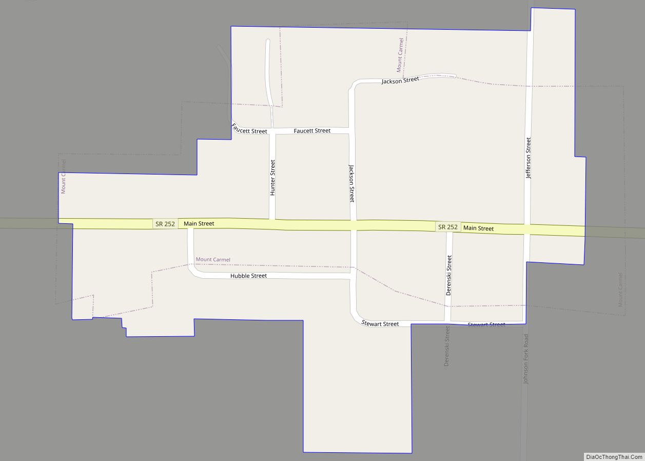
Mount Carmel is a town in Springfield Township, Franklin County, Indiana, United States. The population was 86 at the 2010 census. Mount Carmel town overview: Name: Mount Carmel town LSAD Code: 43 LSAD Description: town (suffix) State: Indiana County: Franklin County Elevation: 1,020 ft (311 m) Total Area: 0.04 sq mi (0.11 km²) Land Area: 0.04 sq mi (0.11 km²) Water Area: 0.00 sq mi ... Read more
Indiana Cities and Places
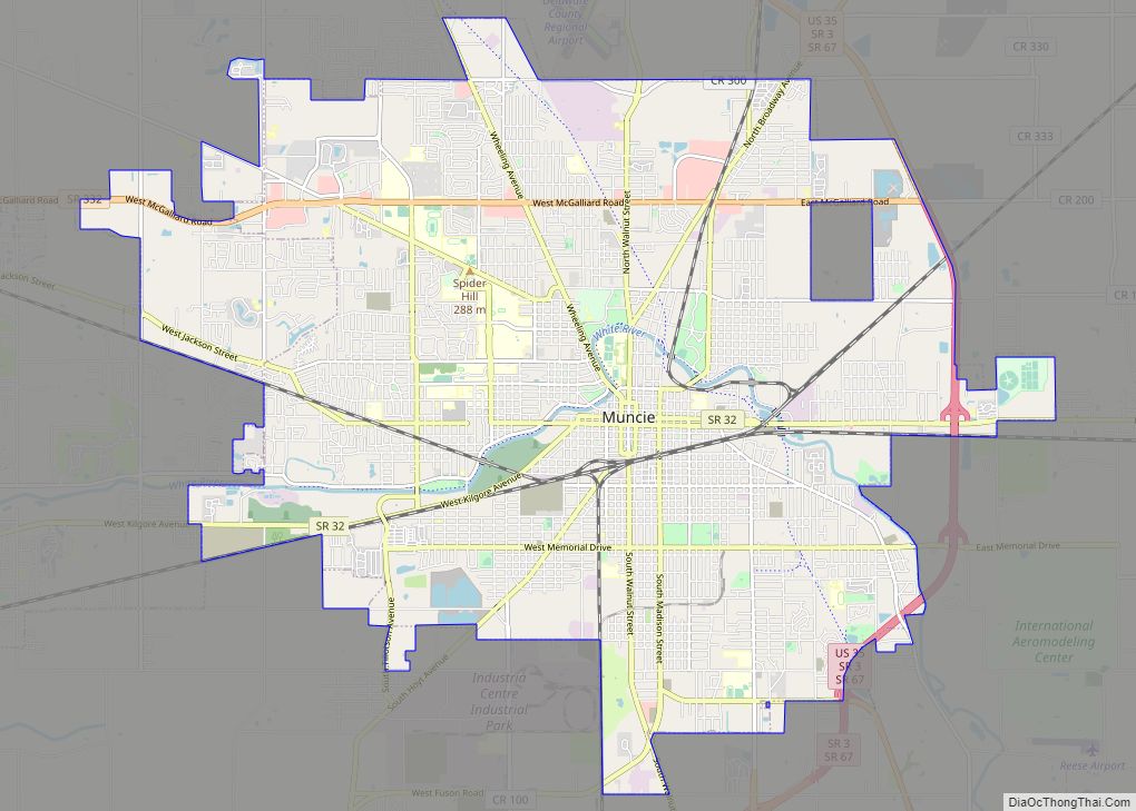
Muncie (/ˈmʌnsi/ MUN-see) is an incorporated city and the seat of Delaware County, Indiana. Previously known as Buckongahelas Town, named after the legendary Delaware Chief. It is located in East Central Indiana, about 50 miles (80 km) northeast of Indianapolis. The United States Census for 2020 reported the city’s population was 65,194. It is the principal ... Read more
Mulberry is a town in Madison Township, Clinton County, Indiana, United States. The population was 1,231 at the 2020 census. The town was named for a mulberry tree which grew at the point where it was founded. Mulberry town overview: Name: Mulberry town LSAD Code: 43 LSAD Description: town (suffix) State: Indiana County: Clinton County ... Read more
Mount Vernon is a city in and the county seat of Posey County, Indiana, United States. Located in the state’s far southwestern corner, within 15 miles (24 km) of both the southernmost or westernmost points, it is the westernmost city in the state. The southernmost is Rockport, located along the Ohio River about 40 miles (64 km) ... Read more
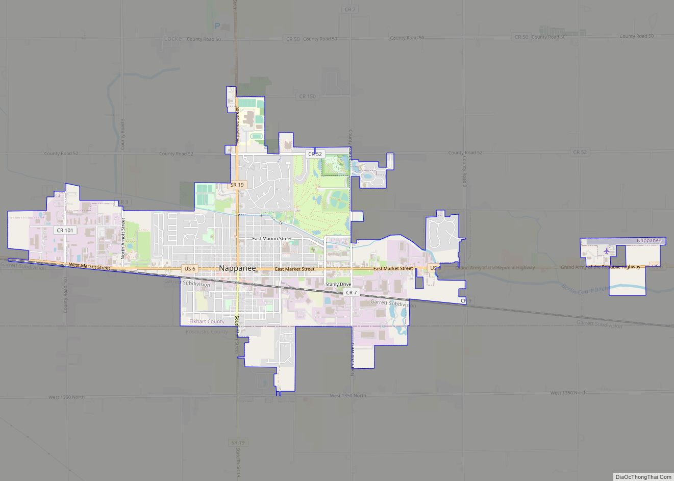
Nappanee is a city in Elkhart and Kosciusko counties in the U.S. state of Indiana. The population was 6,648 as of the 2010 U.S. Census and had grown to 6,913 by the 2020 U.S. Census. The name Nappanee probably means “flour” in Algonquian. The town has several tourist attractions: Amish Acres, Nappanee Raceway, The Arts ... Read more
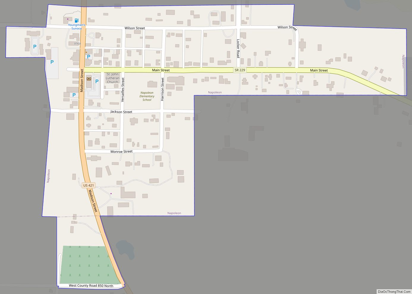
Napoleon is a town in Jackson Township, Ripley County, in the U.S. state of Indiana. The population was 234 at the 2010 census. Napoleon town overview: Name: Napoleon town LSAD Code: 43 LSAD Description: town (suffix) State: Indiana County: Ripley County Elevation: 965 ft (294 m) Total Area: 0.22 sq mi (0.58 km²) Land Area: 0.22 sq mi (0.58 km²) Water Area: 0.00 sq mi ... Read more
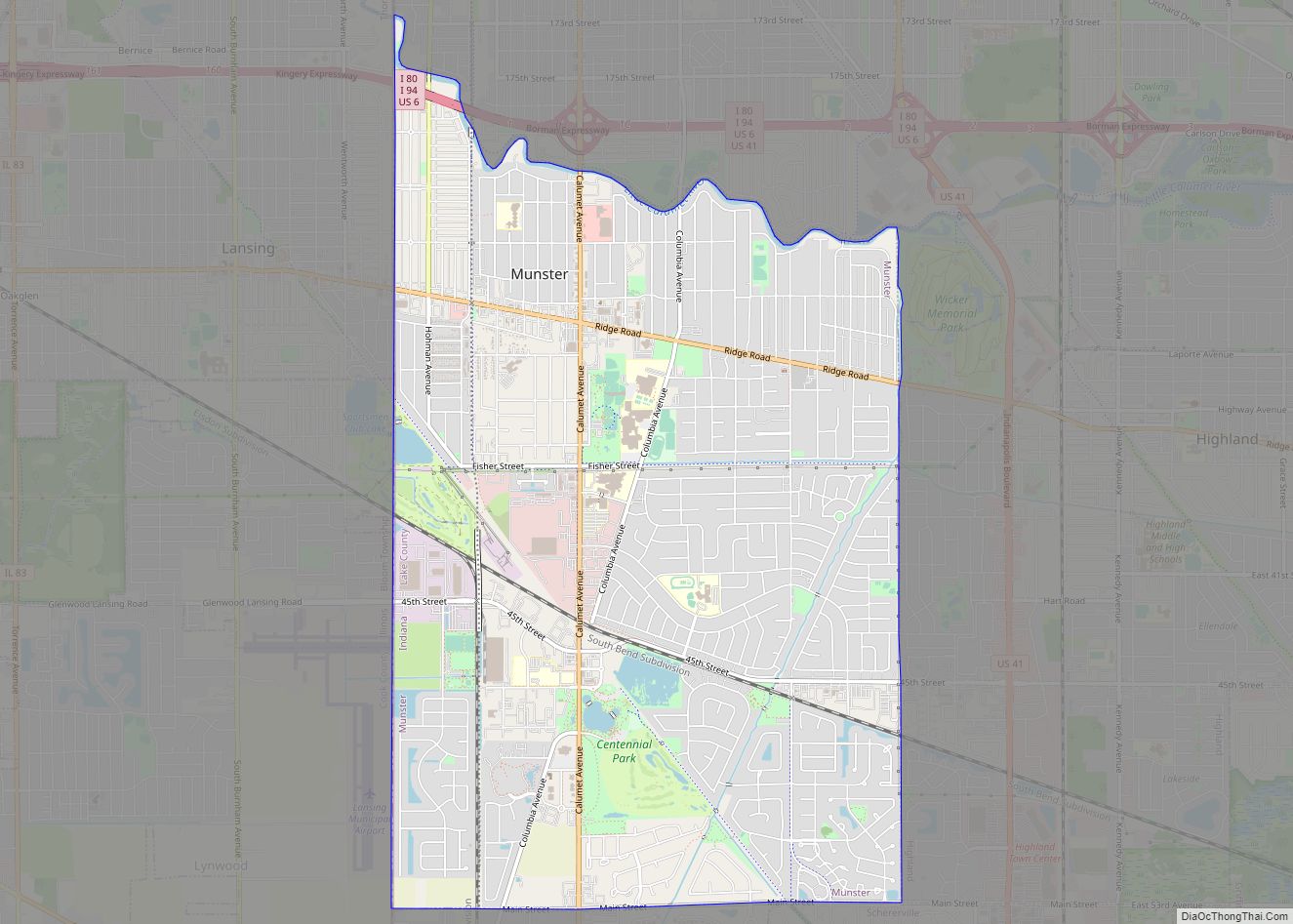
Munster is a suburban town in North Township, Lake County, Indiana, United States. It is in the Chicago metropolitan area, approximately 30 miles (48 km) southeast of the Chicago Loop, and shares municipal boundaries with Hammond to the north, Highland to the east, Dyer and Schererville to the south, and Lansing and Lynwood directly west of ... Read more
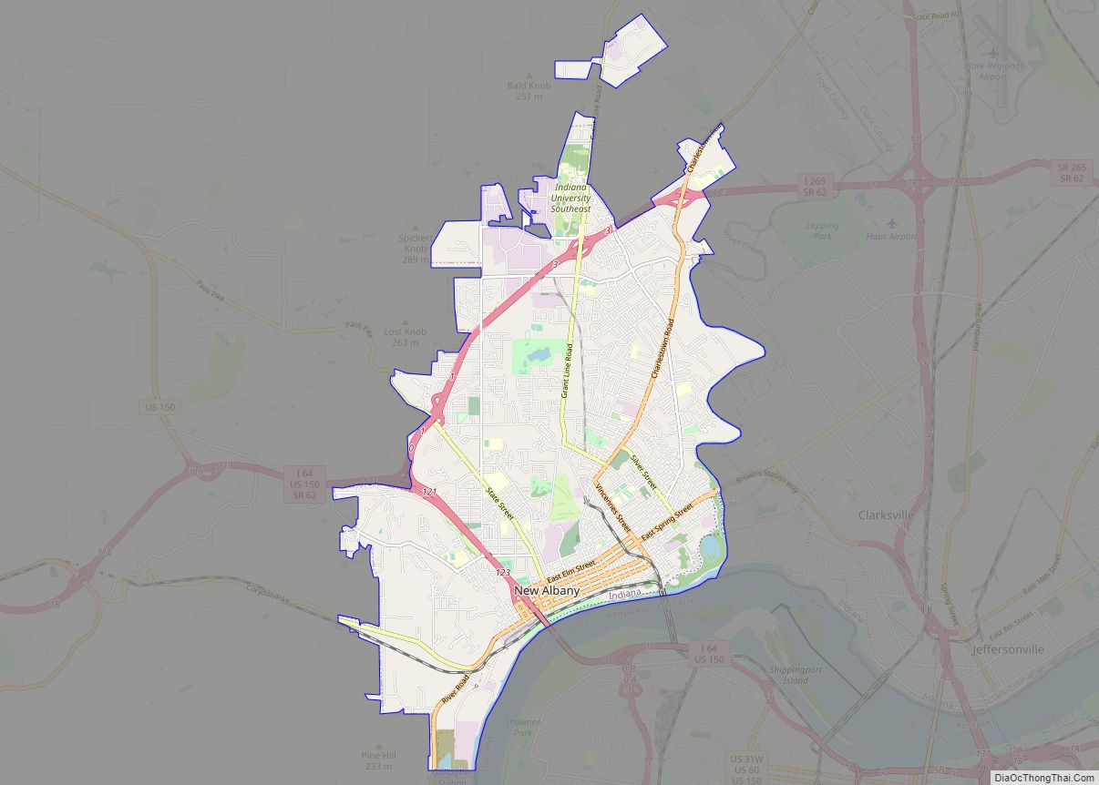
New Albany /ˈɑːlbəni/ is a city in Floyd County, Indiana, United States, situated along the Ohio River, opposite Louisville, Kentucky. The population was 37,841 as of the 2020 census. The city is the county seat of Floyd County. It is bounded by I-265 to the north and the Ohio River to the south, and is ... Read more
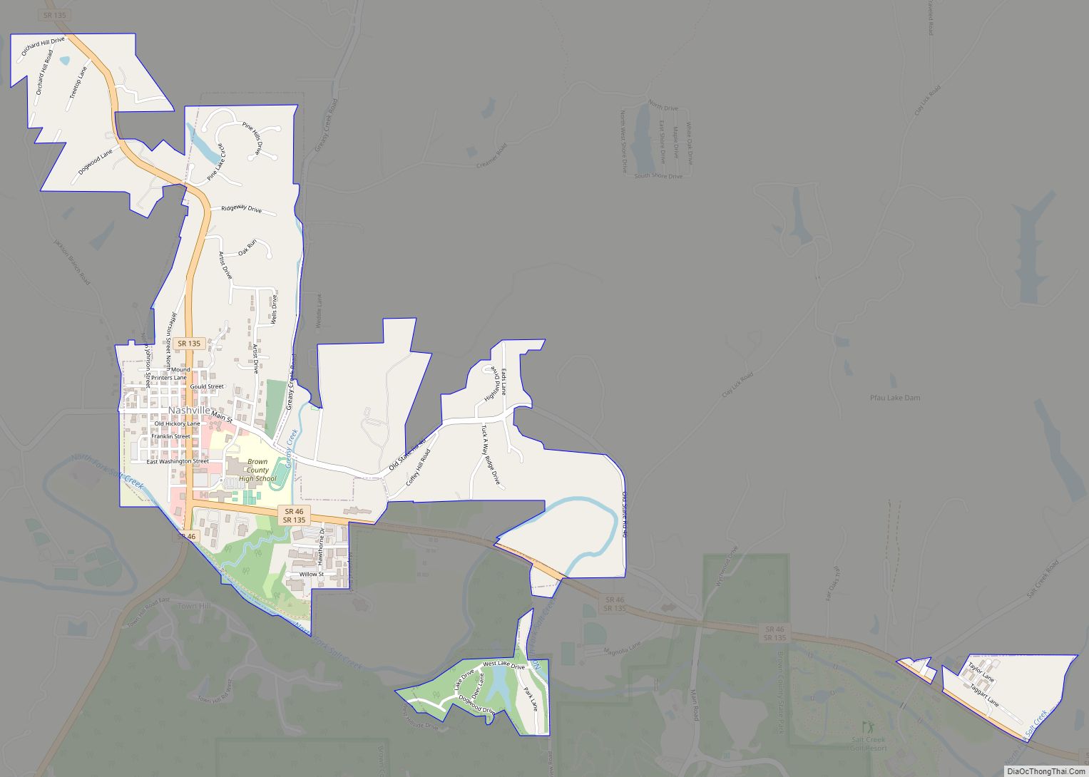
Nashville is a town in Washington Township, Brown County, Indiana, United States. The population was 803 at the 2010 census. The town is the county seat of Brown County and is the county’s only incorporated town. The town is best known as the center of the Brown County Art Colony and as a tourist destination. ... Read more
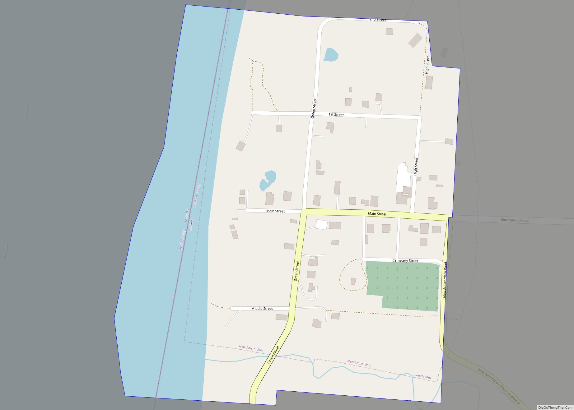
New Amsterdam is a town located in Washington Township, Harrison County, Indiana, United States, along the Ohio River. As of the 2020 census, the city population was 12. As of the 2020 Census, New Amsterdam was the smallest city, town, or Census Designated Place in the state of Indiana. New Amsterdam town overview: Name: New ... Read more
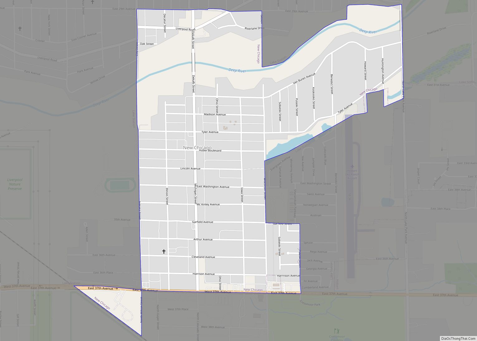
New Chicago is a town in Hobart Township, Lake County, Indiana, United States. The population was 2,035 at the 2010 census. New Chicago town overview: Name: New Chicago town LSAD Code: 43 LSAD Description: town (suffix) State: Indiana County: Lake County Elevation: 636 ft (194 m) Total Area: 0.69 sq mi (1.75 km²) Land Area: 0.69 sq mi (1.75 km²) Water Area: 0.00 sq mi ... Read more
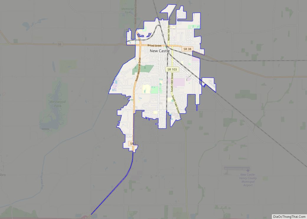
New Castle is a city in Henry County, Indiana, 44 miles (71 km) east-northeast of Indianapolis, on the Big Blue River. The city is the county seat of Henry County. New Castle is home to New Castle Fieldhouse, the largest high school gymnasium in the world. The city is surrounded by agricultural land. In the past, ... Read more
