New Castle is a city in Henry County, Indiana, 44 miles (71 km) east-northeast of Indianapolis, on the Big Blue River. The city is the county seat of Henry County. New Castle is home to New Castle Fieldhouse, the largest high school gymnasium in the world. The city is surrounded by agricultural land. In the past, it was a manufacturing center for the production of sheet iron and steel, automobiles, caskets, clothing, scales, bridges, pianos, furniture, handles, shovels, lathes, bricks, and flour. Starting in the early 20th century, it was known as the Rose City, at one point having 100 florists and numerous growers.
According to the 2010 census, the population was 17,396.
New Castle Correctional Facility, with a capacity of over 3,500 inmates, is located just north of the city.
| Name: | New Castle city |
|---|---|
| LSAD Code: | 25 |
| LSAD Description: | city (suffix) |
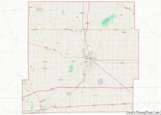
| State: | Indiana |
| County: | Henry County |
| Elevation: | 1,070 ft (326 m) |
| Total Area: | 7.34 sq mi (19.02 km²) |
| Land Area: | 7.32 sq mi (18.97 km²) |
| Water Area: | 0.02 sq mi (0.05 km²) 0.27% |
| Total Population: | 17,396 |
| Population Density: | 2,375.20/sq mi (917.03/km²) |
| ZIP code: | 47362 |
| Area code: | 765 |
| FIPS code: | 1852740 |
| GNISfeature ID: | 0440031 |
| Website: | www.cityofnewcastle.net/ |
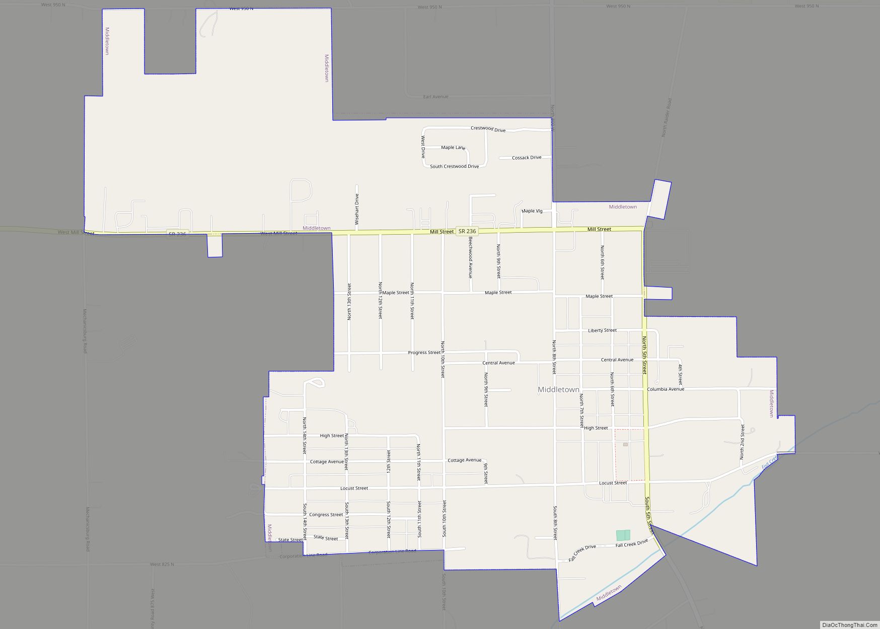
Online Interactive Map
Click on ![]() to view map in "full screen" mode.
to view map in "full screen" mode.
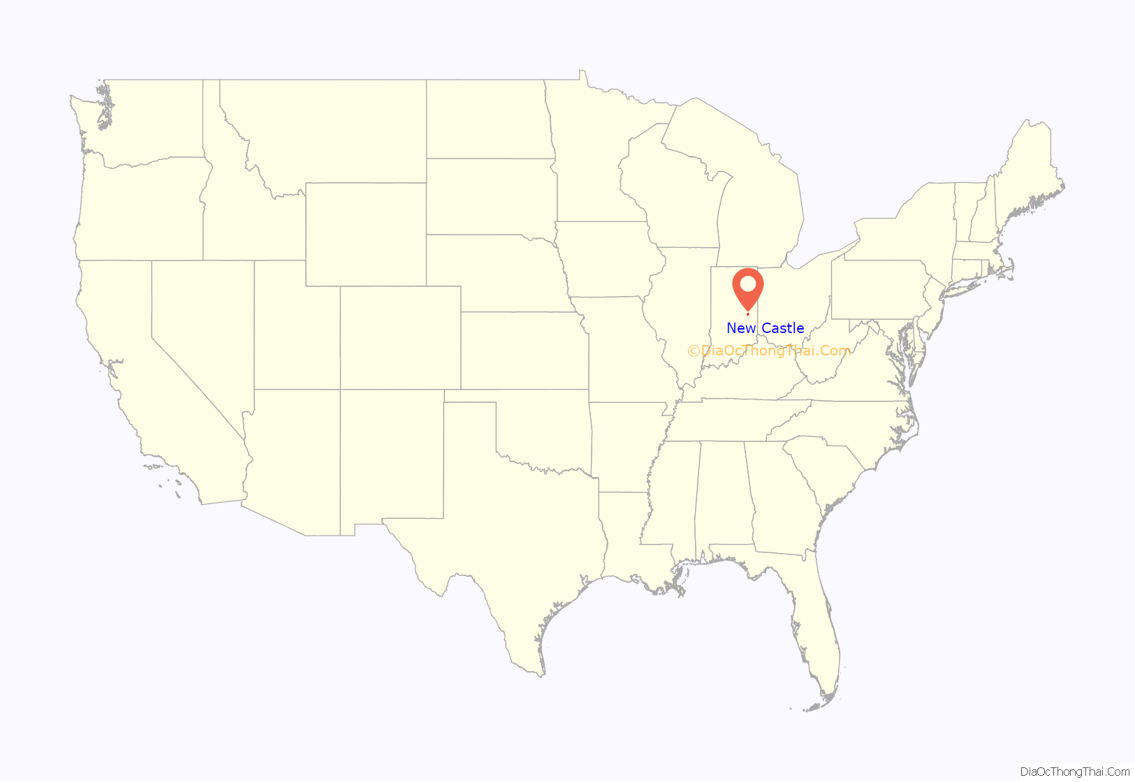
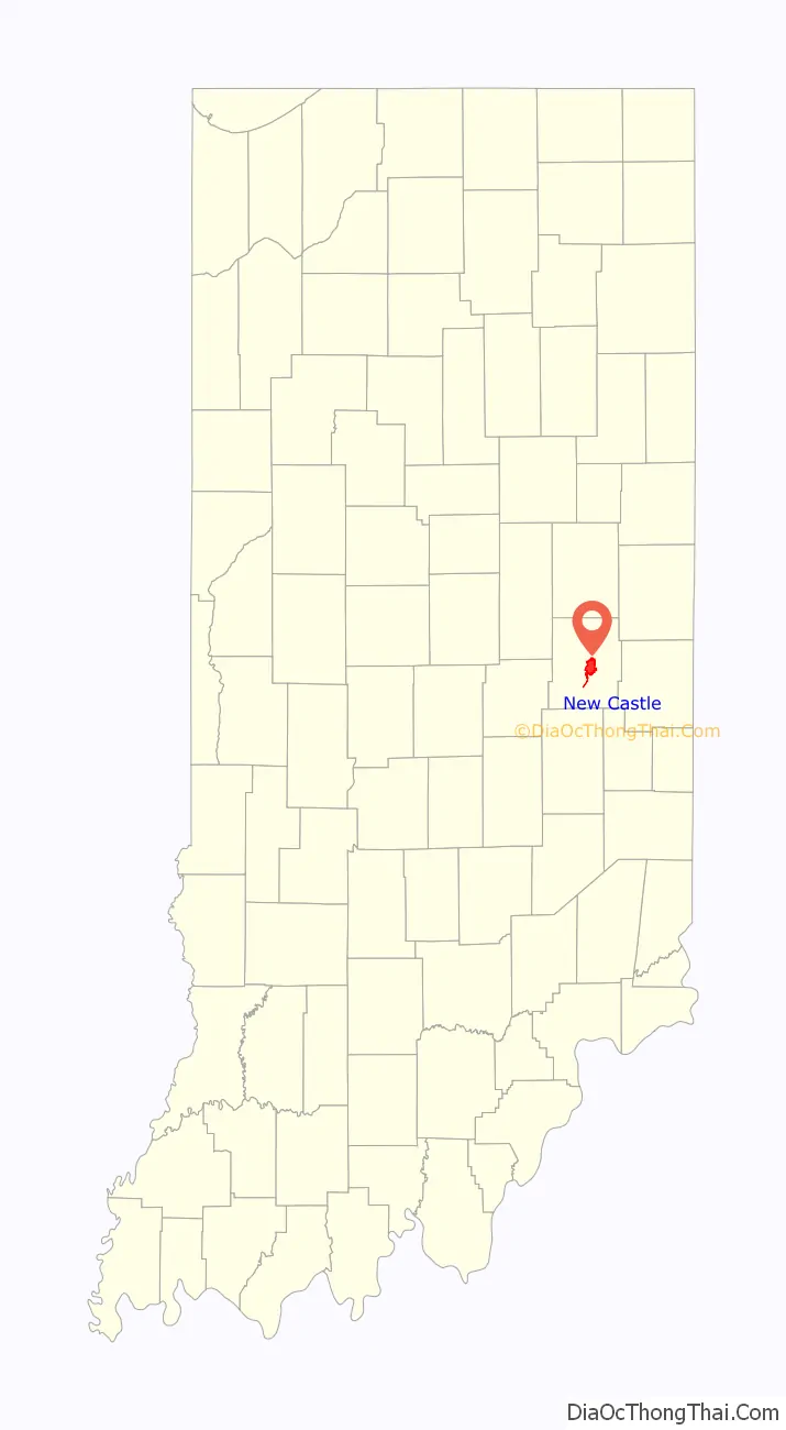
New Castle location map. Where is New Castle city?
History
New Castle was platted in 1823, and named after New Castle, Kentucky. A post office was established at New Castle in 1823. The Maxwell automobile factory, later owned and operated by Chrysler Motor Corp. was, at the time of construction (1907), the largest automotive manufacturing plant in the nation.
The Chrysler Enclosure, Gen. William Grose House, Henry County Courthouse, and New Castle Commercial Historic District are listed on the National Register of Historic Places.
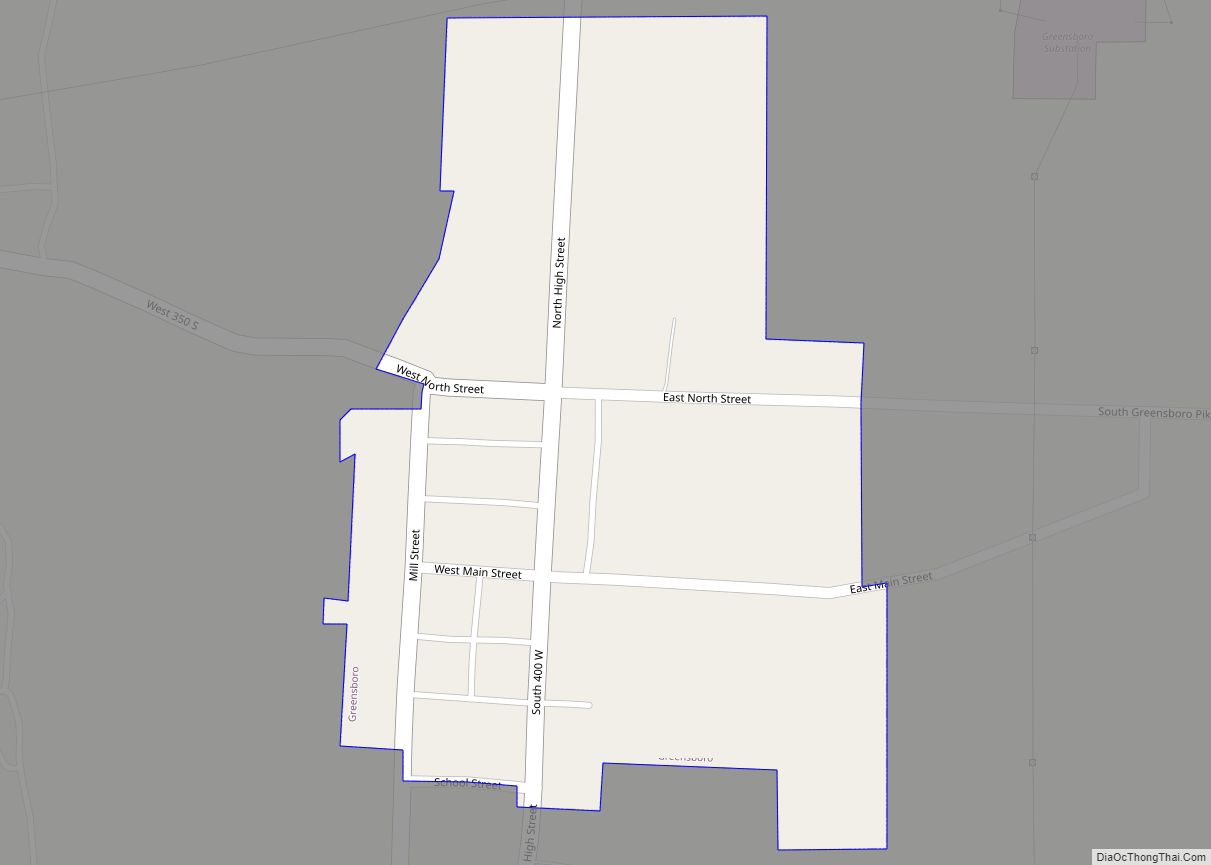
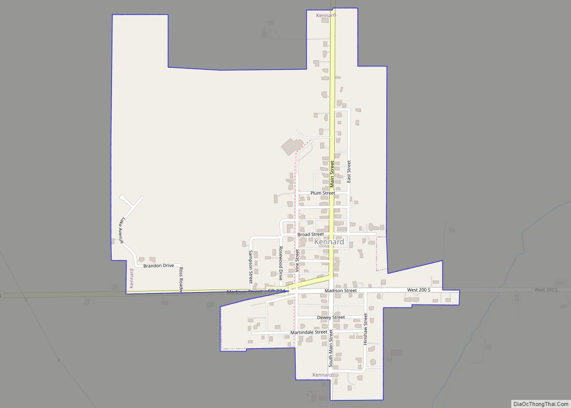
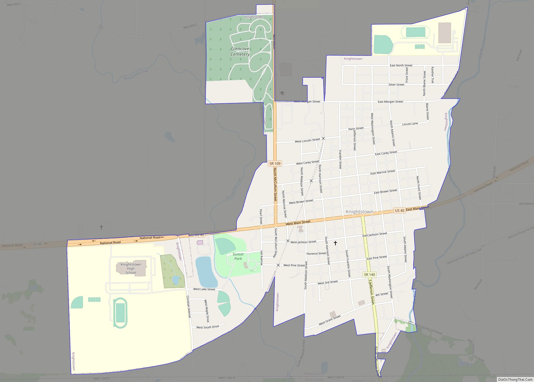
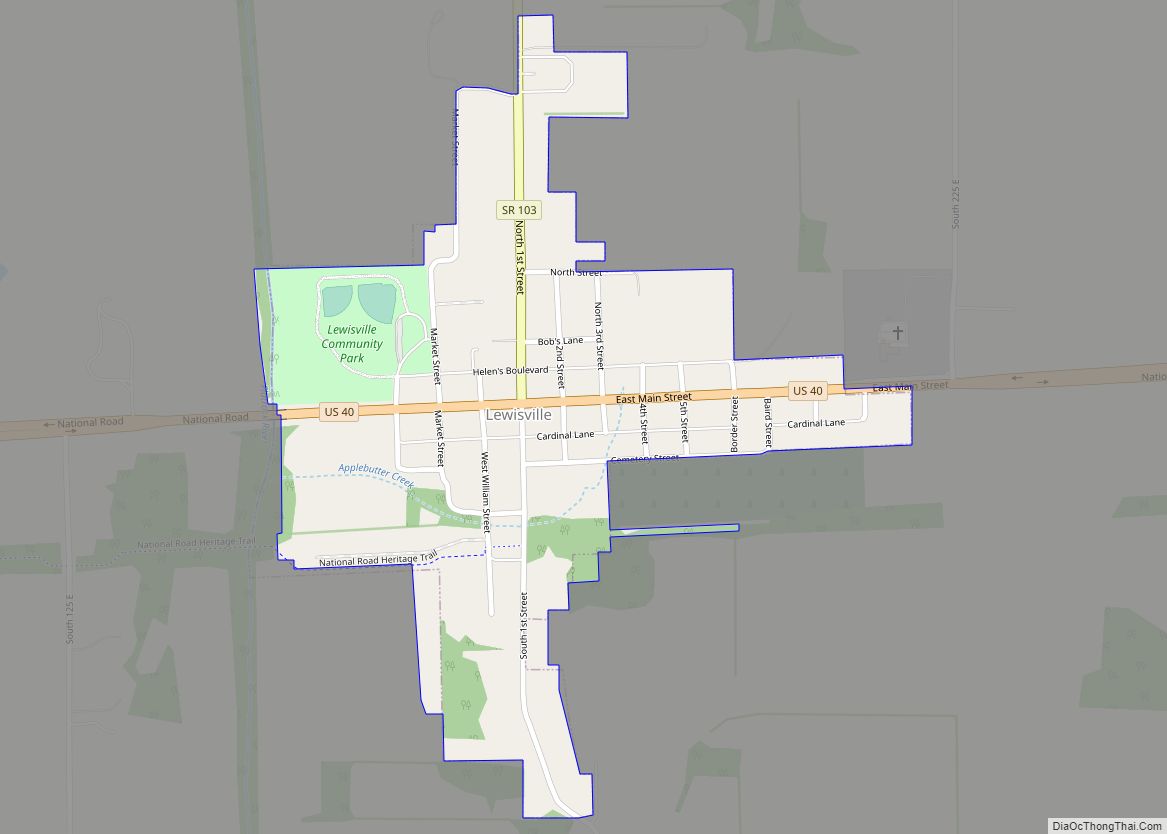
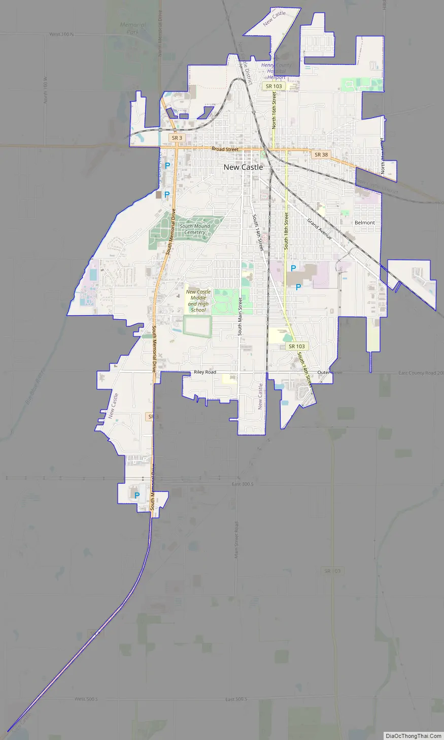
New Castle Road Map
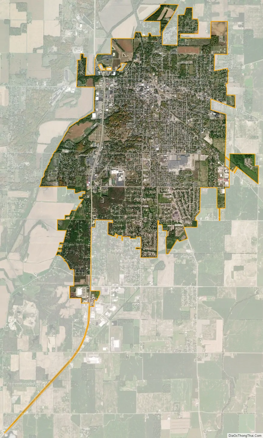
New Castle city Satellite Map
Geography
New Castle is located at 39°55′25″N 85°21′54″W / 39.923733°N 85.365045°W / 39.923733; -85.365045.
According to the 2010 census, New Castle has a total area of 7.311 square miles (18.94 km), of which 7.29 square miles (18.88 km) (or 99.71%) is land and 0.021 square miles (0.05 km) (or 0.29%) is water.
See also
Map of Indiana State and its subdivision:- Adams
- Allen
- Bartholomew
- Benton
- Blackford
- Boone
- Brown
- Carroll
- Cass
- Clark
- Clay
- Clinton
- Crawford
- Daviess
- De Kalb
- Dearborn
- Decatur
- Delaware
- Dubois
- Elkhart
- Fayette
- Floyd
- Fountain
- Franklin
- Fulton
- Gibson
- Grant
- Greene
- Hamilton
- Hancock
- Harrison
- Hendricks
- Henry
- Howard
- Huntington
- Jackson
- Jasper
- Jay
- Jefferson
- Jennings
- Johnson
- Knox
- Kosciusko
- LaGrange
- Lake
- Lake Michigan
- LaPorte
- Lawrence
- Madison
- Marion
- Marshall
- Martin
- Miami
- Monroe
- Montgomery
- Morgan
- Newton
- Noble
- Ohio
- Orange
- Owen
- Parke
- Perry
- Pike
- Porter
- Posey
- Pulaski
- Putnam
- Randolph
- Ripley
- Rush
- Saint Joseph
- Scott
- Shelby
- Spencer
- Starke
- Steuben
- Sullivan
- Switzerland
- Tippecanoe
- Tipton
- Union
- Vanderburgh
- Vermillion
- Vigo
- Wabash
- Warren
- Warrick
- Washington
- Wayne
- Wells
- White
- Whitley
- Alabama
- Alaska
- Arizona
- Arkansas
- California
- Colorado
- Connecticut
- Delaware
- District of Columbia
- Florida
- Georgia
- Hawaii
- Idaho
- Illinois
- Indiana
- Iowa
- Kansas
- Kentucky
- Louisiana
- Maine
- Maryland
- Massachusetts
- Michigan
- Minnesota
- Mississippi
- Missouri
- Montana
- Nebraska
- Nevada
- New Hampshire
- New Jersey
- New Mexico
- New York
- North Carolina
- North Dakota
- Ohio
- Oklahoma
- Oregon
- Pennsylvania
- Rhode Island
- South Carolina
- South Dakota
- Tennessee
- Texas
- Utah
- Vermont
- Virginia
- Washington
- West Virginia
- Wisconsin
- Wyoming