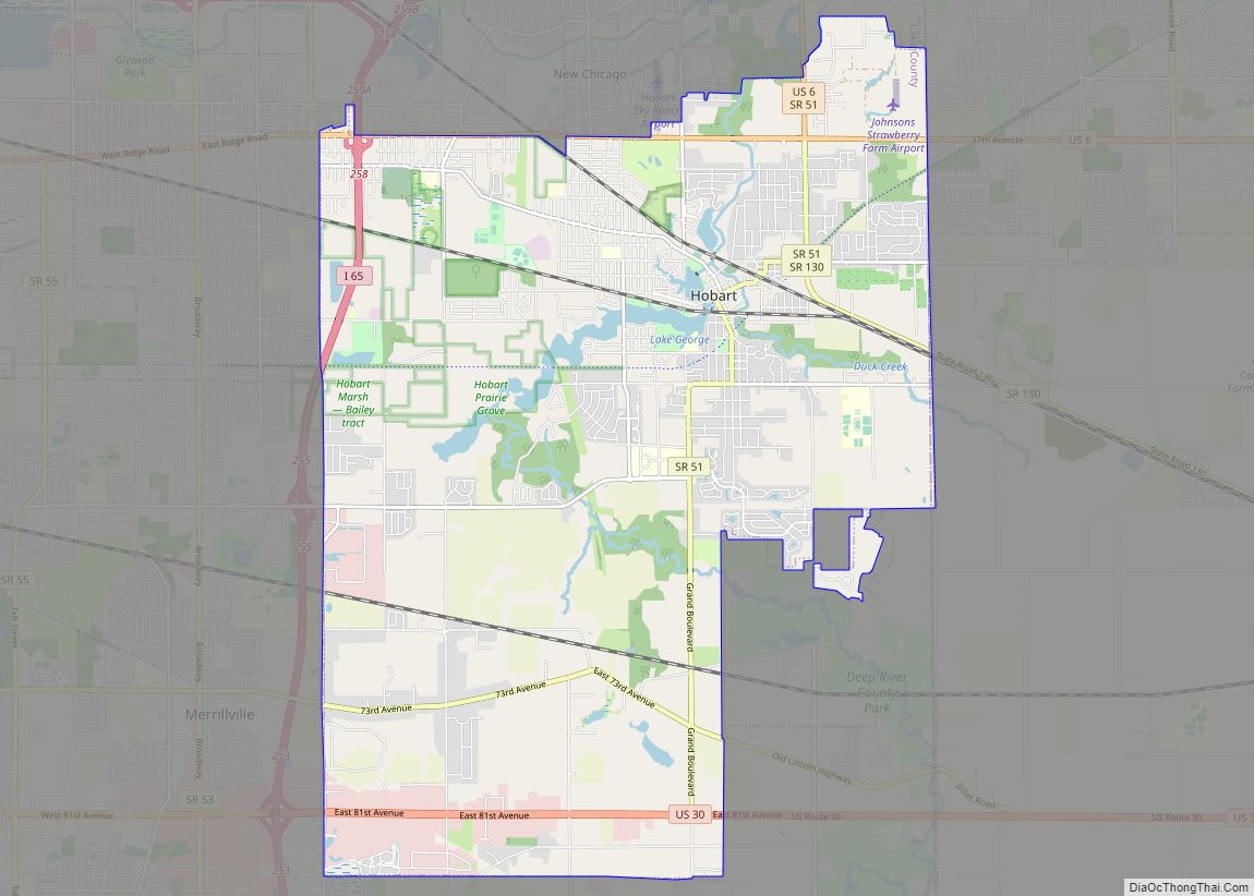
Munster is a suburban town in North Township, Lake County, Indiana, United States. It is in the Chicago metropolitan area, approximately 30 miles (48 km) southeast of the Chicago Loop, and shares municipal boundaries with Hammond to the north, Highland to the east, Dyer and Schererville to the south, and Lansing and Lynwood directly west of the Illinois border. Its population was 23,603 at the 2010 US Census.
| Name: | Munster town |
|---|---|
| LSAD Code: | 43 |
| LSAD Description: | town (suffix) |
| State: | Indiana |
| County: | Lake County |
| Incorporated: | 1907 |
| Elevation: | 610 ft (186 m) |
| Total Area: | 7.63 sq mi (19.75 km²) |
| Land Area: | 7.53 sq mi (19.51 km²) |
| Water Area: | 0.09 sq mi (0.24 km²) |
| Total Population: | 23,894 |
| Population Density: | 3,172.33/sq mi (1,224.83/km²) |
| ZIP code: | 46321 |
| Area code: | 219 |
| FIPS code: | 1851912 |
| GNISfeature ID: | 0439885 |
| Website: | www.munster.org |
Online Interactive Map
Click on ![]() to view map in "full screen" mode.
to view map in "full screen" mode.
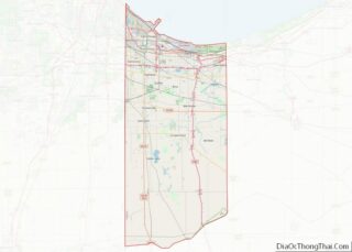
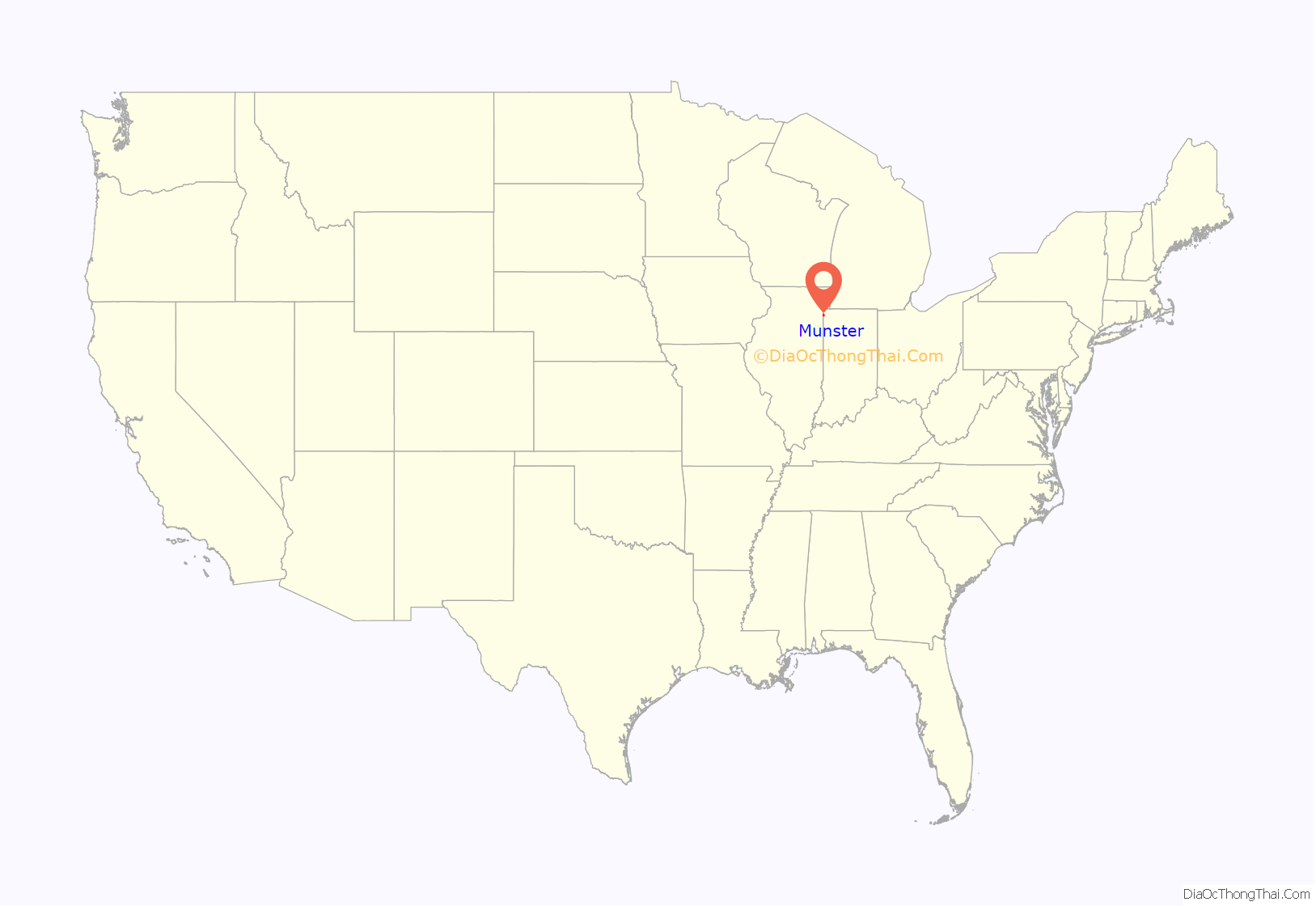
Munster location map. Where is Munster town?

History
The Ibach House and Stallbohm Barn-Kaske House are listed in the National Register of Historic Places.
Early history
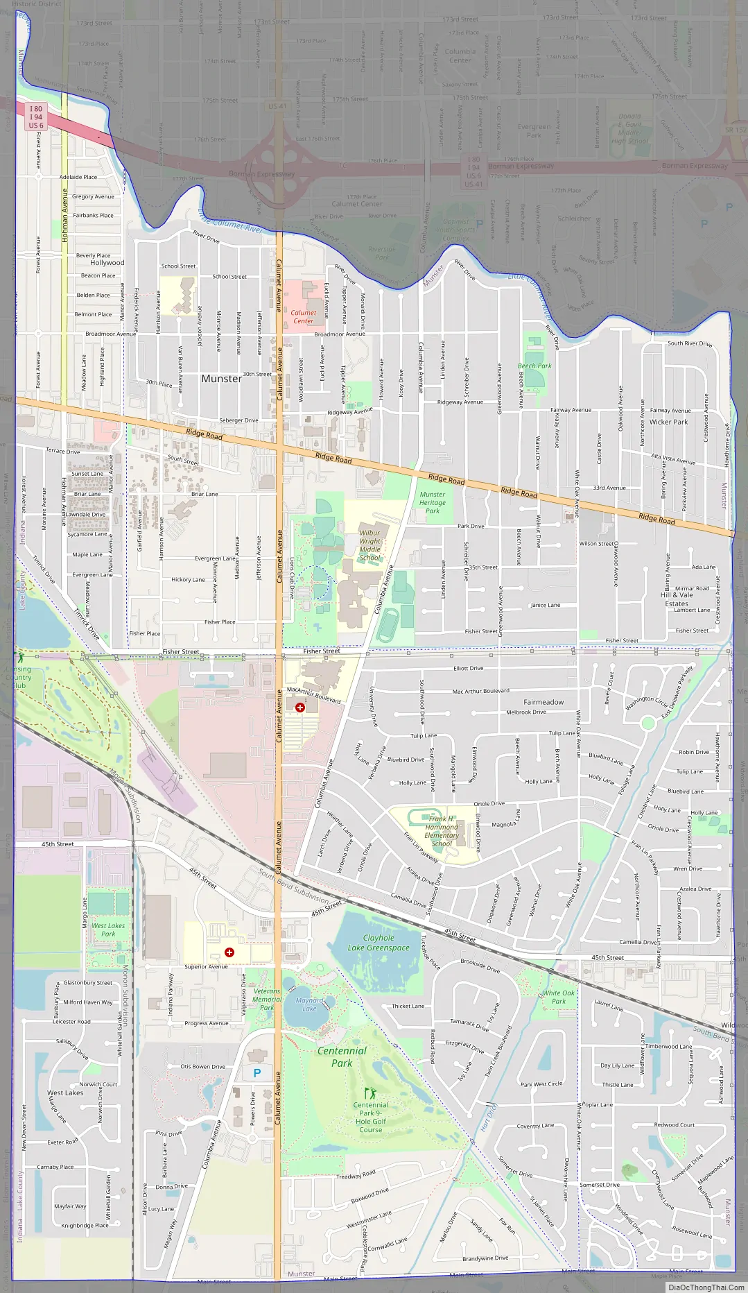
The earliest known inhabitants of the area were the Potawatomi. Although a village did not exist in what was to become Munster’s town boundaries, a trail along the dry sandy ridge now known as Ridge Road was well traveled by the indigenous inhabitants. Today, Munster’s downtown area, the Town Hall, Police and Fire Department headquarters, the Center for the Visual and Performing Arts, and the Munster Post Office are all situated on Ridge Road.
In the late 17th and early 18th centuries, the area that is today Munster was part of land claimed by France as French territory. In the 1760s the British claimed the land where the Potawatomi lived as part of the British Empire. Twenty years later George Rogers Clark overran the British in the American Revolutionary War, claiming the land for the newly independent United States of America.
In the 1850s, as the numbers of Native Americans dwindled, pioneer settlers began to inhabit the area which would become Munster to grow crops and provide dairy products to the profitable markets in Chicago.
When Jacob Munster, a young man from the Netherlands who until the 1860s spelled his surname “Monster,” opened an area general store complete with a U.S. postal station on the back, the local farmers and settlers came to rely on the postal station, which soon became a United States Post Office. The post office was named Munster, as it was located in Jacob Munster’s general store.
Before long more and more people moved to the “Munster” area, and in 1907 Munster was incorporated as a town, with 76 residents voting “yes” for the incorporation and 28 voting “no.”
Modern times
Munster soon became a booming town that attracted many people. Munster saw difficult times through the rough years of the Great Depression. During the Cold War, Munster served as the site of the Nike-Zeus Missile defense base C-46. The site was closed in 1971 and is now under private ownership.
In September 2008, Munster’s northern portions suffered flooding resulting from the impact of Hurricane Ike, which caused the Little Calumet River to overflow. A main break occurred in the levee located near the intersection of Calumet Avenue and River Drive in the northwest quadrant of the town. Munster has requested the Army Corps of Engineers to elevate the levee in low-lying areas. The levee improvements have been completed and the majority of homes destroyed have been rebuilt, in most cases, with larger, more amenity-filled homes.
The 2010 Comprehensive Plan for Munster’s next twenty years includes plans for a new town center with shopping and dining to be organized around a proposed train station.
Munster Road Map
Munster city Satellite Map

Geography
Munster is located at 41°56′45″N 87°51′25″W / 41.94583°N 87.85694°W / 41.94583; -87.85694 (41.551457, -87.501431), at a point on an ancient shoreline of Lake Michigan (known as the Calumet Shoreline) which is today Ridge Road. This ridge runs east and west through the north part of town, hence the town’s nickname “Town on the Ridge”.
The town’s boundaries contain three small lakes, one of which, located within Centennial Park, is marshy and undeveloped. Munster is bordered on the north by the Little Calumet River, a shallow river surrounded by a thin strip of wooded area; and on the West by the Illinois state line.
According to the 2010 census, Munster has a total area of 7.65 square miles (19.81 km), of which 7.57 square miles (19.61 km) (or 98.95%) is land and 0.08 square miles (0.21 km) (or 1.05%) is water.
See also
Map of Indiana State and its subdivision:- Adams
- Allen
- Bartholomew
- Benton
- Blackford
- Boone
- Brown
- Carroll
- Cass
- Clark
- Clay
- Clinton
- Crawford
- Daviess
- De Kalb
- Dearborn
- Decatur
- Delaware
- Dubois
- Elkhart
- Fayette
- Floyd
- Fountain
- Franklin
- Fulton
- Gibson
- Grant
- Greene
- Hamilton
- Hancock
- Harrison
- Hendricks
- Henry
- Howard
- Huntington
- Jackson
- Jasper
- Jay
- Jefferson
- Jennings
- Johnson
- Knox
- Kosciusko
- LaGrange
- Lake
- Lake Michigan
- LaPorte
- Lawrence
- Madison
- Marion
- Marshall
- Martin
- Miami
- Monroe
- Montgomery
- Morgan
- Newton
- Noble
- Ohio
- Orange
- Owen
- Parke
- Perry
- Pike
- Porter
- Posey
- Pulaski
- Putnam
- Randolph
- Ripley
- Rush
- Saint Joseph
- Scott
- Shelby
- Spencer
- Starke
- Steuben
- Sullivan
- Switzerland
- Tippecanoe
- Tipton
- Union
- Vanderburgh
- Vermillion
- Vigo
- Wabash
- Warren
- Warrick
- Washington
- Wayne
- Wells
- White
- Whitley
- Alabama
- Alaska
- Arizona
- Arkansas
- California
- Colorado
- Connecticut
- Delaware
- District of Columbia
- Florida
- Georgia
- Hawaii
- Idaho
- Illinois
- Indiana
- Iowa
- Kansas
- Kentucky
- Louisiana
- Maine
- Maryland
- Massachusetts
- Michigan
- Minnesota
- Mississippi
- Missouri
- Montana
- Nebraska
- Nevada
- New Hampshire
- New Jersey
- New Mexico
- New York
- North Carolina
- North Dakota
- Ohio
- Oklahoma
- Oregon
- Pennsylvania
- Rhode Island
- South Carolina
- South Dakota
- Tennessee
- Texas
- Utah
- Vermont
- Virginia
- Washington
- West Virginia
- Wisconsin
- Wyoming