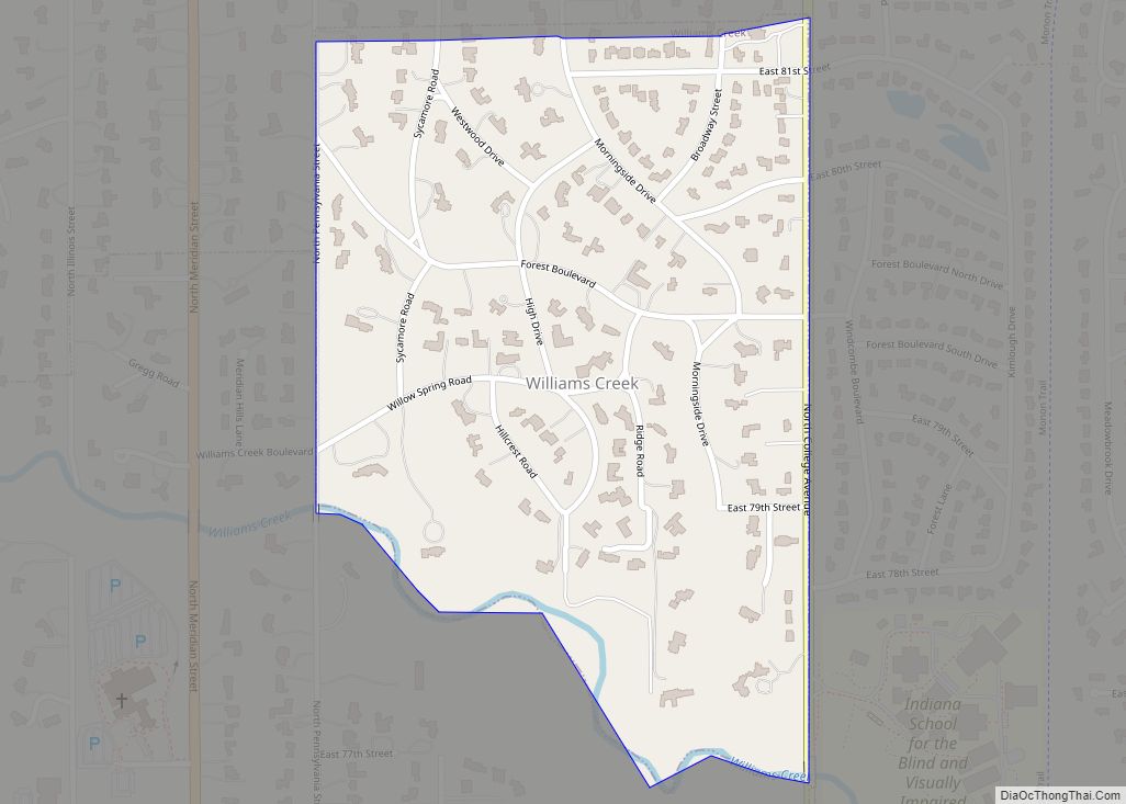
Williams Creek is a town in Washington Township, Marion County, Indiana, United States. It is located about 9 miles (14 km) north of downtown Indianapolis. The population was 430 at the 2020 census. It has existed as an “included town” since 1970, when it was incorporated into Indianapolis as part of Unigov. It is part of ... Read more
Indiana Cities and Places
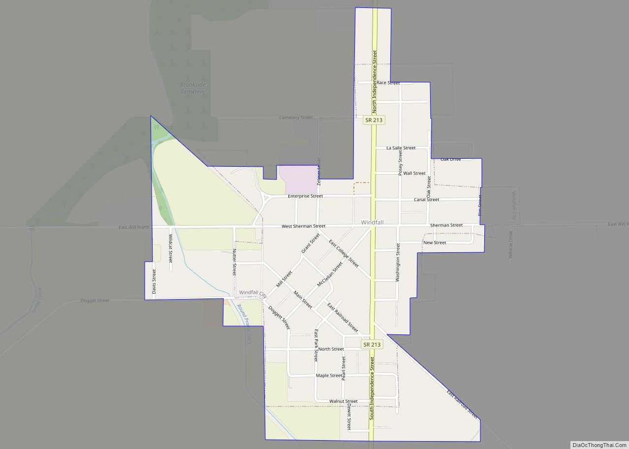
Windfall is a town in Wildcat Township, Tipton County, in the U.S. state of Indiana. It is part of the Kokomo, Indiana, Metropolitan Statistical Area. Windfall’s population was 697 as of the 2021 census. Windfall City town overview: Name: Windfall City town LSAD Code: 43 LSAD Description: town (suffix) State: Indiana County: Tipton County Elevation: ... Read more
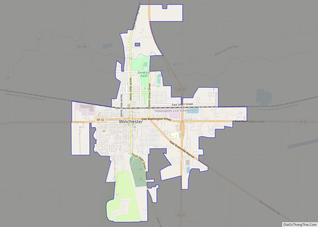
Winchester is a city in White River Township, Randolph County, in the U.S. state of Indiana. The population was 4,935 at the 2010 census. The city is the county seat of Randolph County. It is the home of Winchester Speedway. Winchester city overview: Name: Winchester city LSAD Code: 25 LSAD Description: city (suffix) State: Indiana ... Read more
Winamac is a town in Monroe Township, Pulaski County, in the U.S. state of Indiana. The population was 2,490 at the 2010 census. It is the county seat of Pulaski County. Winamac town overview: Name: Winamac town LSAD Code: 43 LSAD Description: town (suffix) State: Indiana County: Pulaski County Elevation: 705 ft (215 m) Total Area: 1.36 sq mi ... Read more
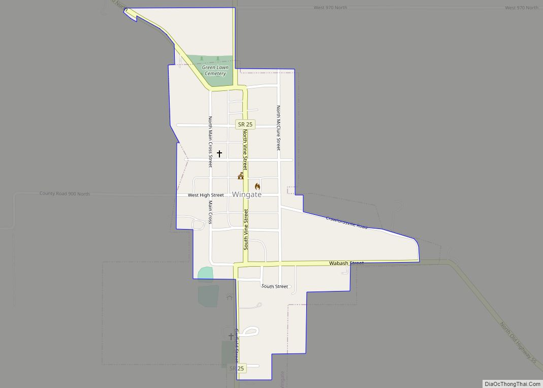
Wingate, formerly known as “Pleasant Hill”, is a town in Coal Creek Township, Montgomery County, in the U.S. state of Indiana. The population was 237 at the 2020 census. Wingate town overview: Name: Wingate town LSAD Code: 43 LSAD Description: town (suffix) State: Indiana County: Montgomery County Elevation: 781 ft (238 m) Total Area: 0.19 sq mi (0.50 km²) Land ... Read more
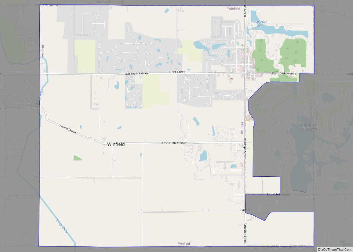
Winfield is a town in Winfield Township, Lake County, Indiana. The population was 2,298 at the time of the 2000 census, 4,383 in 2010, and 5,987 in 2019. The town was incorporated in 1993 in order to keep the residents from being annexed by other neighboring communities. Prior to that time it had been part ... Read more
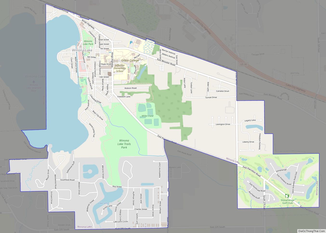
Winona Lake is a town in Wayne Township, Kosciusko County, in the U.S. state of Indiana, and the major suburb of Warsaw. The population was 4,908 at the 2010 census. Winona Lake town overview: Name: Winona Lake town LSAD Code: 43 LSAD Description: town (suffix) State: Indiana County: Kosciusko County Elevation: 817 ft (249 m) Total Area: ... Read more
Wolcottville is a town in Johnson Township, LaGrange County and Orange Township, Noble County in the U.S. state of Indiana. The population was 998 at the 2010 census. Wolcottville town overview: Name: Wolcottville town LSAD Code: 43 LSAD Description: town (suffix) State: Indiana County: LaGrange County, Noble County Elevation: 942 ft (287 m) Total Area: 1.01 sq mi (2.62 km²) ... Read more
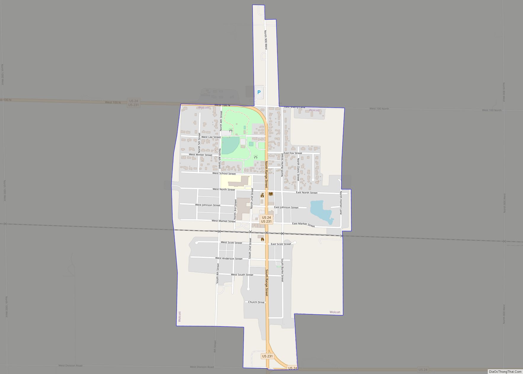
Wolcott (/ˈwʊlkət/ WUUL-kət) is a town in Princeton Township, White County, in the U.S. state of Indiana. The population was 1,001 at the 2010 census. Wolcott town overview: Name: Wolcott town LSAD Code: 43 LSAD Description: town (suffix) State: Indiana County: White County Elevation: 715 ft (218 m) Total Area: 0.59 sq mi (1.54 km²) Land Area: 0.59 sq mi (1.54 km²) Water ... Read more
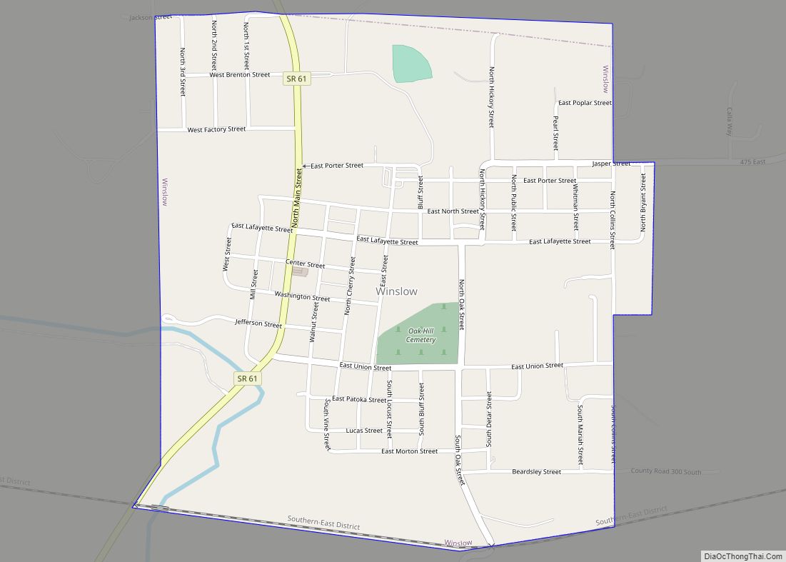
Winslow is a town in Patoka Township, Pike County, in the U.S. state of Indiana. The population was 864 at the 2010 census. It is part of the Jasper Micropolitan Statistical Area. Winslow town overview: Name: Winslow town LSAD Code: 43 LSAD Description: town (suffix) State: Indiana County: Pike County Elevation: 459 ft (140 m) Total Area: ... Read more
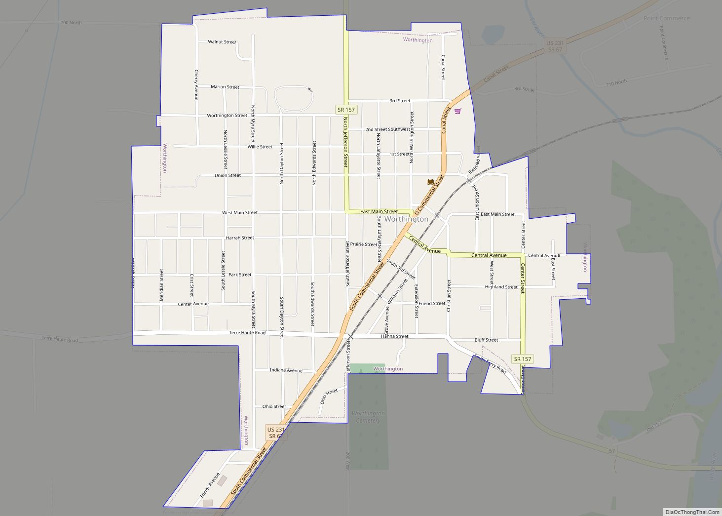
Worthington is a town in Jefferson Township, Greene County, Indiana, United States. The population was 1,463 at the 2010 United States Census. It is part of the Bloomington, Indiana, Metropolitan Statistical Area. Worthington town overview: Name: Worthington town LSAD Code: 43 LSAD Description: town (suffix) State: Indiana County: Greene County Elevation: 515 ft (157 m) Total Area: ... Read more
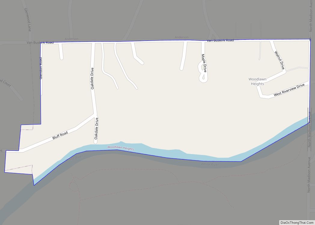
Woodlawn Heights is a town in Anderson Township, Madison County, Indiana, United States. It is part of the Indianapolis–Carmel–Anderson metropolitan statistical area. The population was 91 at the 2020 census. Woodlawn Heights town overview: Name: Woodlawn Heights town LSAD Code: 43 LSAD Description: town (suffix) State: Indiana County: Madison County Elevation: 866 ft (264 m) Total Area: ... Read more
