Windfall is a town in Wildcat Township, Tipton County, in the U.S. state of Indiana. It is part of the Kokomo, Indiana, Metropolitan Statistical Area. Windfall’s population was 697 as of the 2021 census.
| Name: | Windfall City town |
|---|---|
| LSAD Code: | 43 |
| LSAD Description: | town (suffix) |
| State: | Indiana |
| County: | Tipton County |
| Elevation: | 866 ft (264 m) |
| Total Area: | 0.41 sq mi (1.05 km²) |
| Land Area: | 0.41 sq mi (1.05 km²) |
| Water Area: | 0.00 sq mi (0.00 km²) |
| Total Population: | 696 |
| Population Density: | 1,718.52/sq mi (663.28/km²) |
| ZIP code: | 46076 |
| Area code: | 765 |
| FIPS code: | 1884806 |
| GNISfeature ID: | 446173 |
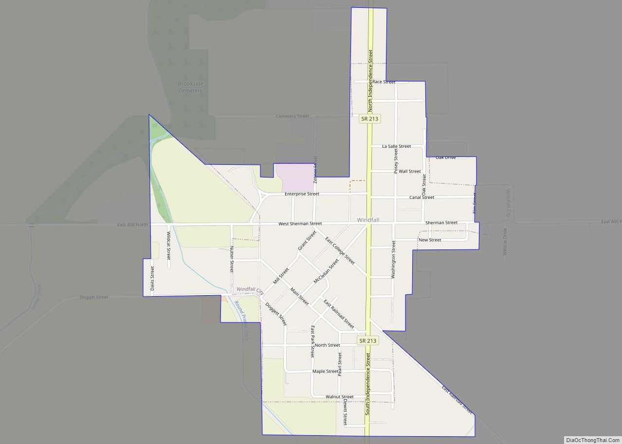
Online Interactive Map
Click on ![]() to view map in "full screen" mode.
to view map in "full screen" mode.
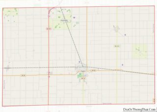
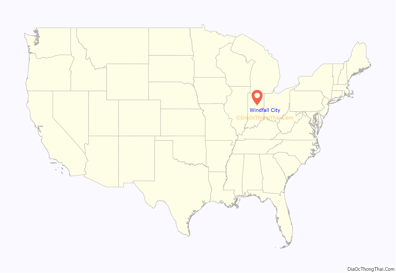
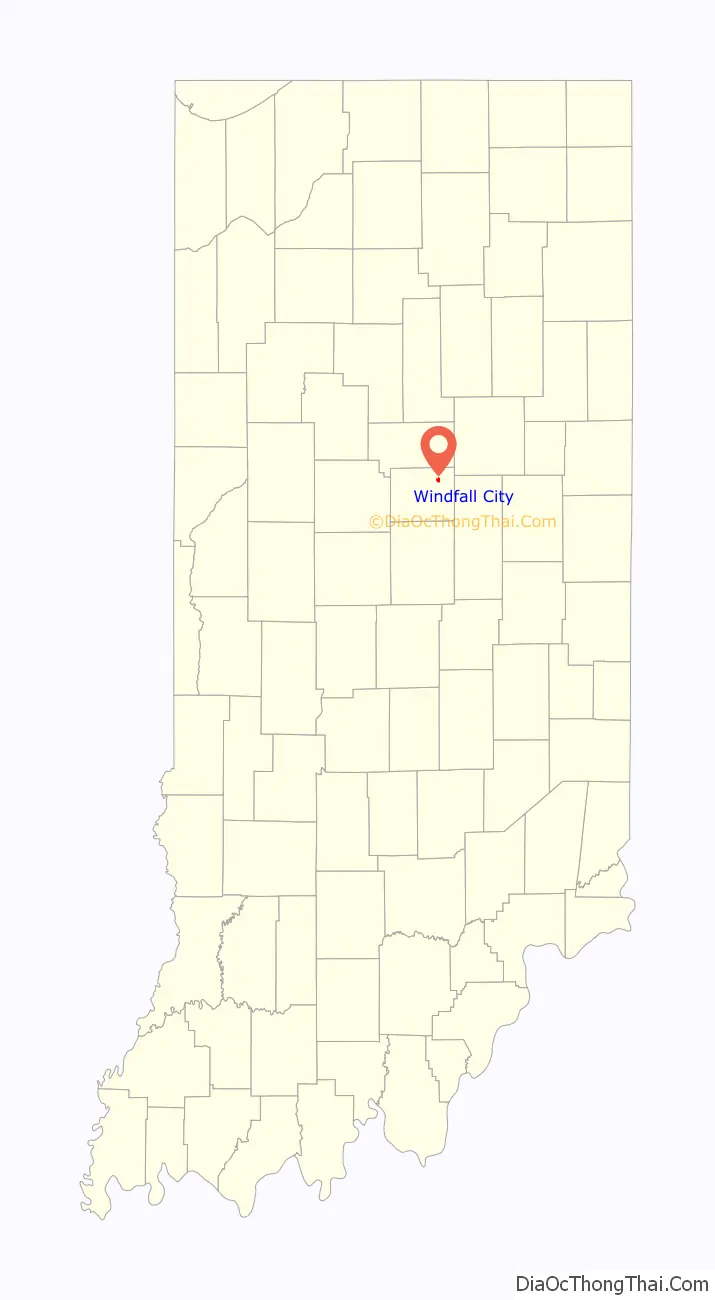
Windfall City location map. Where is Windfall City town?
History
Founding
Windfall was founded by James B. Fouch in 1853. Fouch platted the land with the goal of securing a train station in order to earn business from the lucrative lumber trade. He built the first sawmill in 1853. A Christian church was built just outside Windfall in 1854. The congregation moved to Windfall in 1866. A Methodist church was organized in Windfall in 1857, with meetings taking place in a school house. The Windfall post office has been in operation since 1855.
There is no definitive history explaining how Windfall was named, but a niece of James B. Fouch told a local newspaper in 1949, “The story has been told to me that Windfall was named by my uncle after a terrific windstorm had swept through the village.”
The village was incorporated on March 24, 1871 by a unanimous vote of the people who had settled there. As other settlers came to the village it grew opposite from the way Fouch intended. As a result, Windfall’s Main Street, the original street, is southwest from the center of the town. That same year, the Windfall Baptist church was founded.
Crime in the 1800s
Windfall has a notable crime history dating from just after its incorporation. In 1865, Noble Goff, a man once described as “respectable..but in later years had fallen into heavy dissipation and had made many enemies,” was murdered with a hatchet while in bed. His wife was charged with his murder and served her time in prison. Henry Thomas was killed by a local doctor, Armstrong, in 1864 or 1865. He killed Thomas out of “jealousy,” and claimed he was not guilty upon trial. The doctor was acquitted.
A few years later a man named Perry was killed in a local saloon over a game of cards. In 1867, a man named Gifford was killed by James Stewart. The two men entered into a fight at Stewart’s house and Stewart shot him. He was acquitted for self-defense. Finally, the work of a suspected arson burned down a large brick drug store and the nearby home of Dr. McAlaster in 1883.
1900s
As of the 20th century, the town was described as being “one of the most attractive communities in Tipton County.” A large Methodist church was built and completed in September 1913. It cost $28,000 to build.
World War II
From 1944 to 1945 Windfall was home to a World War II German POW camp, Windfall Indiana World War II POW Camp.
Notable residents
Windfall was the childhood home of Jeff Modisett, Indiana Attorney General (1997-2000).
Geography
Windfall is located at 40°21′44″N 85°57′25″W / 40.36222°N 85.95694°W / 40.36222; -85.95694 (40.362138, -85.956852).
According to the 2010 census, Windfall has a total area of 0.29 square miles (0.75 km), all land.
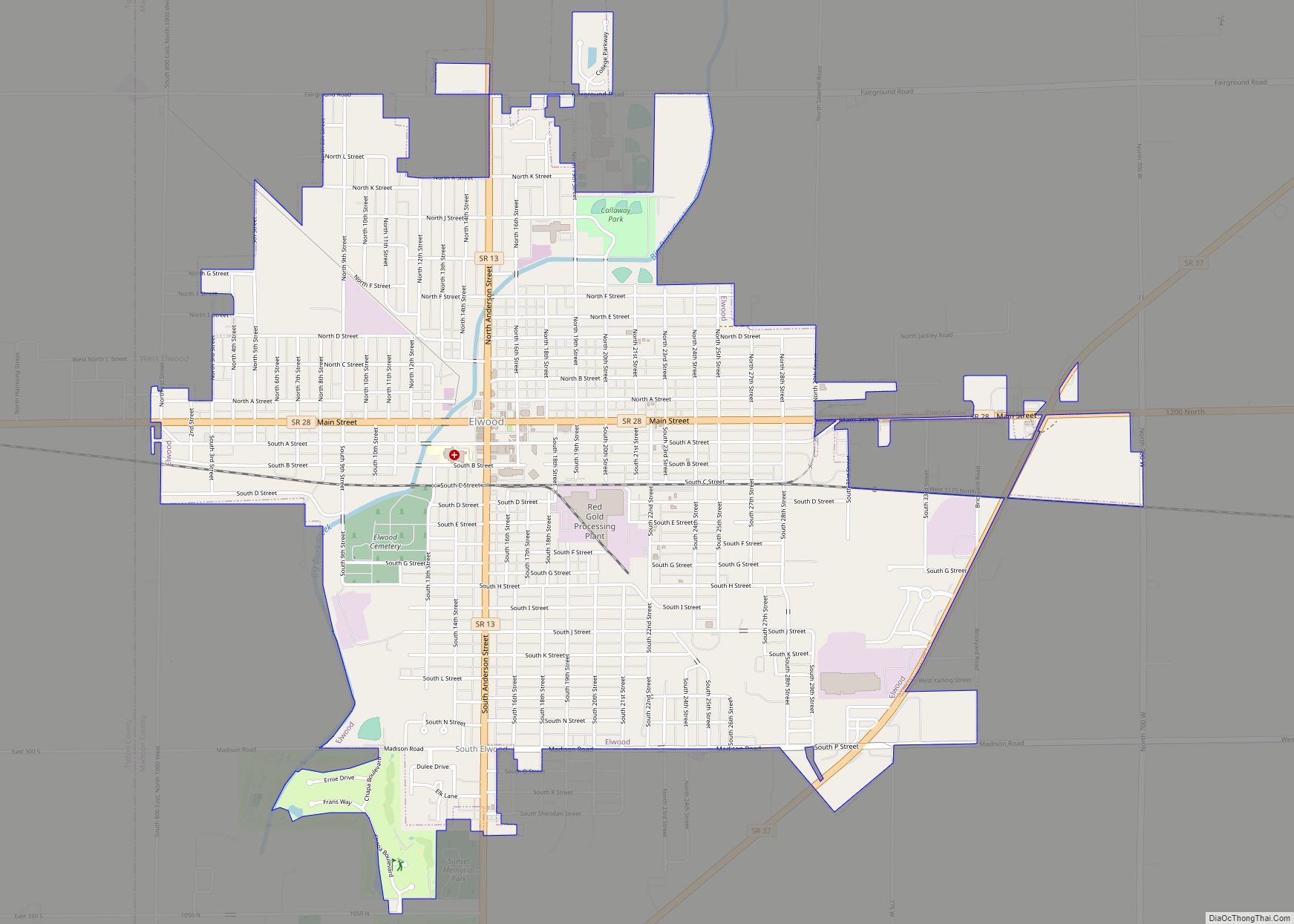
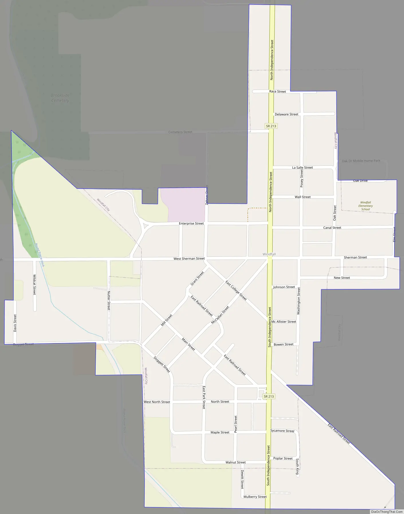
Windfall City Road Map
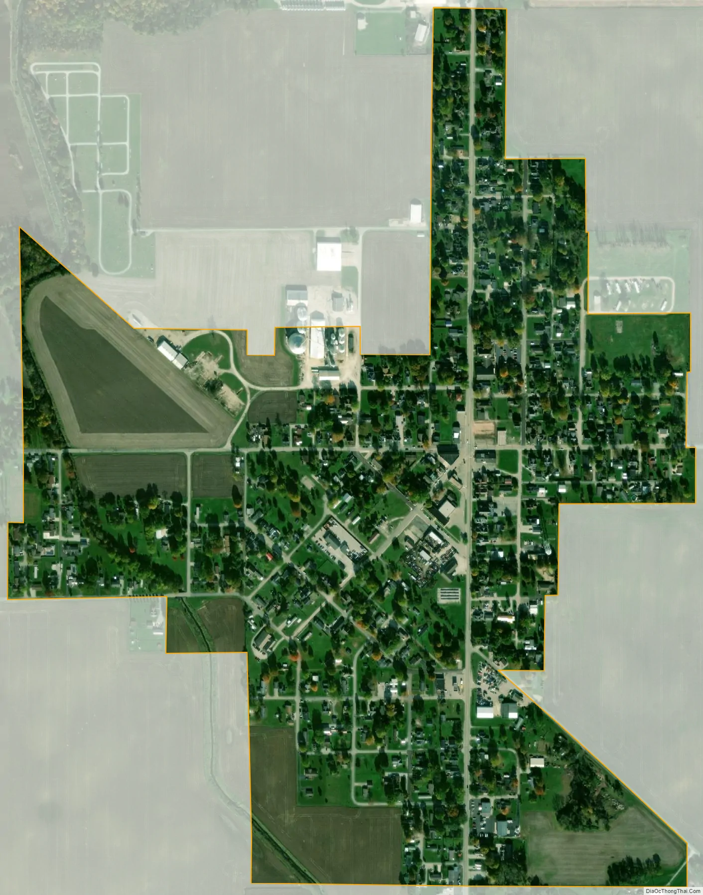
Windfall City city Satellite Map
See also
Map of Indiana State and its subdivision:- Adams
- Allen
- Bartholomew
- Benton
- Blackford
- Boone
- Brown
- Carroll
- Cass
- Clark
- Clay
- Clinton
- Crawford
- Daviess
- De Kalb
- Dearborn
- Decatur
- Delaware
- Dubois
- Elkhart
- Fayette
- Floyd
- Fountain
- Franklin
- Fulton
- Gibson
- Grant
- Greene
- Hamilton
- Hancock
- Harrison
- Hendricks
- Henry
- Howard
- Huntington
- Jackson
- Jasper
- Jay
- Jefferson
- Jennings
- Johnson
- Knox
- Kosciusko
- LaGrange
- Lake
- Lake Michigan
- LaPorte
- Lawrence
- Madison
- Marion
- Marshall
- Martin
- Miami
- Monroe
- Montgomery
- Morgan
- Newton
- Noble
- Ohio
- Orange
- Owen
- Parke
- Perry
- Pike
- Porter
- Posey
- Pulaski
- Putnam
- Randolph
- Ripley
- Rush
- Saint Joseph
- Scott
- Shelby
- Spencer
- Starke
- Steuben
- Sullivan
- Switzerland
- Tippecanoe
- Tipton
- Union
- Vanderburgh
- Vermillion
- Vigo
- Wabash
- Warren
- Warrick
- Washington
- Wayne
- Wells
- White
- Whitley
- Alabama
- Alaska
- Arizona
- Arkansas
- California
- Colorado
- Connecticut
- Delaware
- District of Columbia
- Florida
- Georgia
- Hawaii
- Idaho
- Illinois
- Indiana
- Iowa
- Kansas
- Kentucky
- Louisiana
- Maine
- Maryland
- Massachusetts
- Michigan
- Minnesota
- Mississippi
- Missouri
- Montana
- Nebraska
- Nevada
- New Hampshire
- New Jersey
- New Mexico
- New York
- North Carolina
- North Dakota
- Ohio
- Oklahoma
- Oregon
- Pennsylvania
- Rhode Island
- South Carolina
- South Dakota
- Tennessee
- Texas
- Utah
- Vermont
- Virginia
- Washington
- West Virginia
- Wisconsin
- Wyoming