Winamac is a town in Monroe Township, Pulaski County, in the U.S. state of Indiana. The population was 2,490 at the 2010 census. It is the county seat of Pulaski County.
| Name: | Winamac town |
|---|---|
| LSAD Code: | 43 |
| LSAD Description: | town (suffix) |
| State: | Indiana |
| County: | Pulaski County |
| Elevation: | 705 ft (215 m) |
| Total Area: | 1.36 sq mi (3.53 km²) |
| Land Area: | 1.36 sq mi (3.53 km²) |
| Water Area: | 0.00 sq mi (0.00 km²) |
| Total Population: | 2,318 |
| Population Density: | 1,703.16/sq mi (657.42/km²) |
| ZIP code: | 46996 |
| Area code: | 574 |
| FIPS code: | 1884734 |
| GNISfeature ID: | 446163 |
| Website: | http://townofwinamac.com/ |
Online Interactive Map
Click on ![]() to view map in "full screen" mode.
to view map in "full screen" mode.
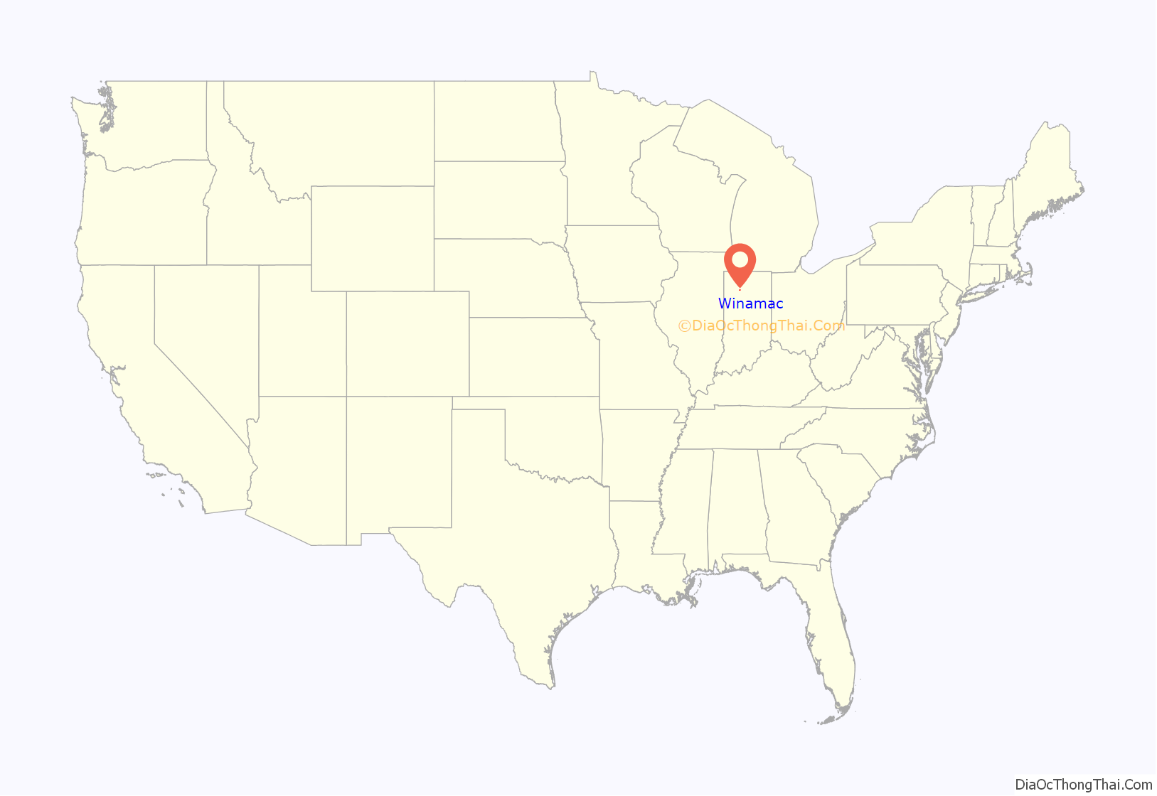
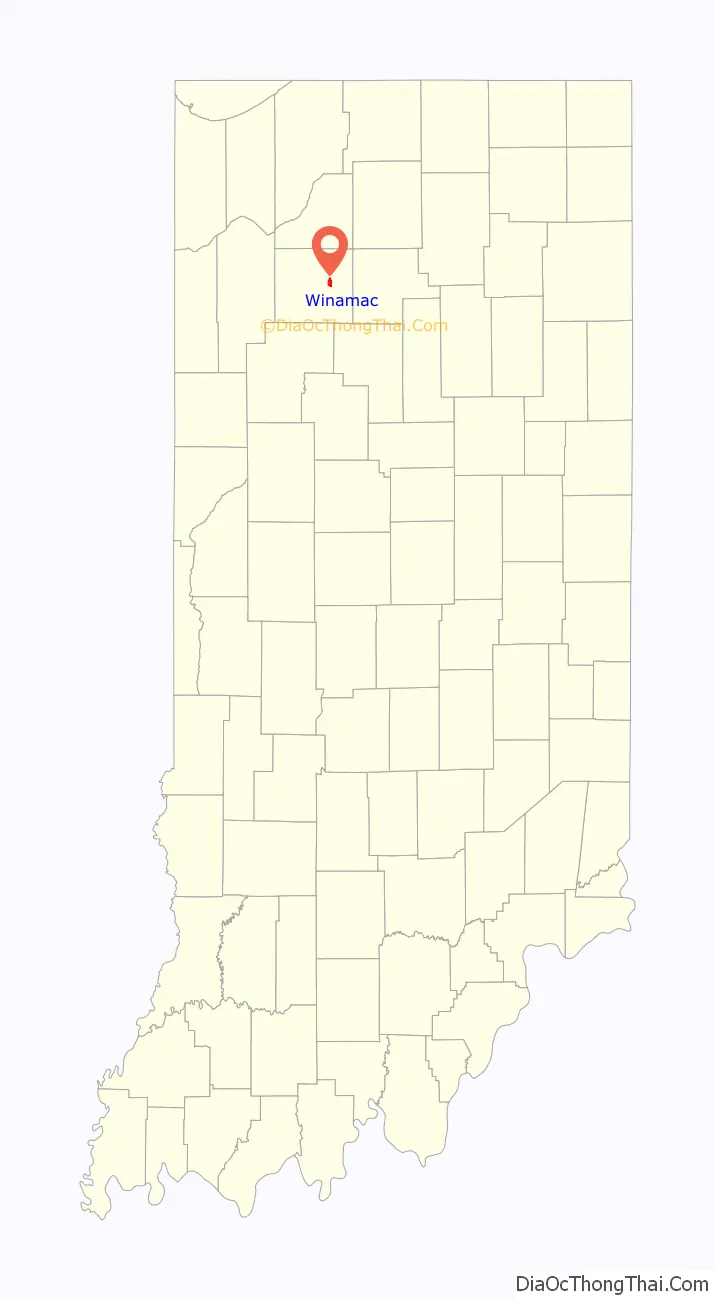
Winamac location map. Where is Winamac town?
History
The town’s name came from the Potawatomi word for “catfish.” It was selected as the county seat in 1839. Winamac was incorporated as a town in 1868.
The Winamac post office has been in operation since 1839.
Pulaski County Courthouse, Dr. George W. Thompson House, and Vurpillat’s Opera House are listed on the National Register of Historic Places.
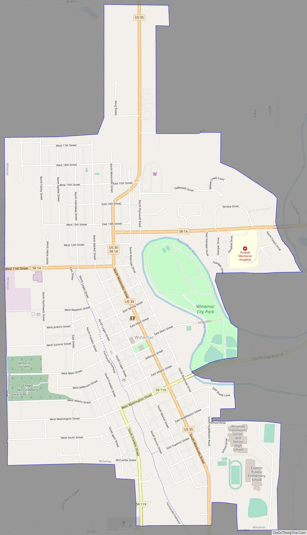
Winamac Road Map
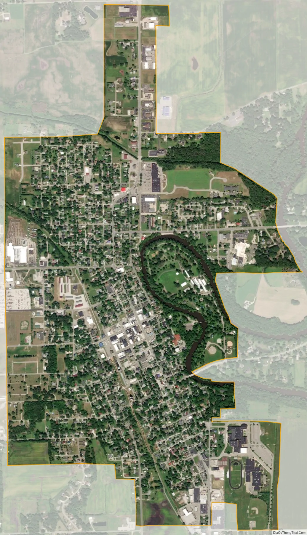
Winamac city Satellite Map
Geography
Winamac is located at 41°3′N 86°36′W / 41.050°N 86.600°W / 41.050; -86.600 (41.0525, -86.6044).
According to the 2010 census, Winamac has a total area of 1.36 square miles (3.52 km), all land.
See also
Map of Indiana State and its subdivision:- Adams
- Allen
- Bartholomew
- Benton
- Blackford
- Boone
- Brown
- Carroll
- Cass
- Clark
- Clay
- Clinton
- Crawford
- Daviess
- De Kalb
- Dearborn
- Decatur
- Delaware
- Dubois
- Elkhart
- Fayette
- Floyd
- Fountain
- Franklin
- Fulton
- Gibson
- Grant
- Greene
- Hamilton
- Hancock
- Harrison
- Hendricks
- Henry
- Howard
- Huntington
- Jackson
- Jasper
- Jay
- Jefferson
- Jennings
- Johnson
- Knox
- Kosciusko
- LaGrange
- Lake
- Lake Michigan
- LaPorte
- Lawrence
- Madison
- Marion
- Marshall
- Martin
- Miami
- Monroe
- Montgomery
- Morgan
- Newton
- Noble
- Ohio
- Orange
- Owen
- Parke
- Perry
- Pike
- Porter
- Posey
- Pulaski
- Putnam
- Randolph
- Ripley
- Rush
- Saint Joseph
- Scott
- Shelby
- Spencer
- Starke
- Steuben
- Sullivan
- Switzerland
- Tippecanoe
- Tipton
- Union
- Vanderburgh
- Vermillion
- Vigo
- Wabash
- Warren
- Warrick
- Washington
- Wayne
- Wells
- White
- Whitley
- Alabama
- Alaska
- Arizona
- Arkansas
- California
- Colorado
- Connecticut
- Delaware
- District of Columbia
- Florida
- Georgia
- Hawaii
- Idaho
- Illinois
- Indiana
- Iowa
- Kansas
- Kentucky
- Louisiana
- Maine
- Maryland
- Massachusetts
- Michigan
- Minnesota
- Mississippi
- Missouri
- Montana
- Nebraska
- Nevada
- New Hampshire
- New Jersey
- New Mexico
- New York
- North Carolina
- North Dakota
- Ohio
- Oklahoma
- Oregon
- Pennsylvania
- Rhode Island
- South Carolina
- South Dakota
- Tennessee
- Texas
- Utah
- Vermont
- Virginia
- Washington
- West Virginia
- Wisconsin
- Wyoming


