Wolcott (/ˈwʊlkət/ WUUL-kət) is a town in Princeton Township, White County, in the U.S. state of Indiana. The population was 1,001 at the 2010 census.
| Name: | Wolcott town |
|---|---|
| LSAD Code: | 43 |
| LSAD Description: | town (suffix) |
| State: | Indiana |
| County: | White County |
| Elevation: | 715 ft (218 m) |
| Total Area: | 0.59 sq mi (1.54 km²) |
| Land Area: | 0.59 sq mi (1.54 km²) |
| Water Area: | 0.00 sq mi (0.00 km²) |
| Total Population: | 950 |
| Population Density: | 1,602.02/sq mi (618.80/km²) |
| ZIP code: | 47995 |
| Area code: | 219 |
| FIPS code: | 1885058 |
| GNISfeature ID: | 446230 |
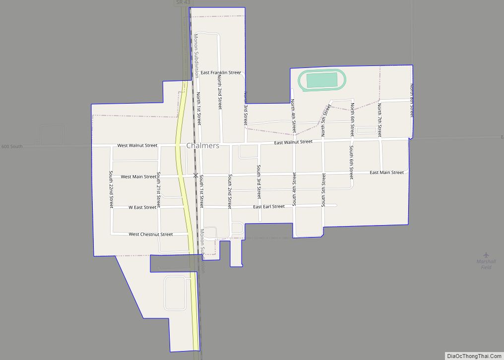
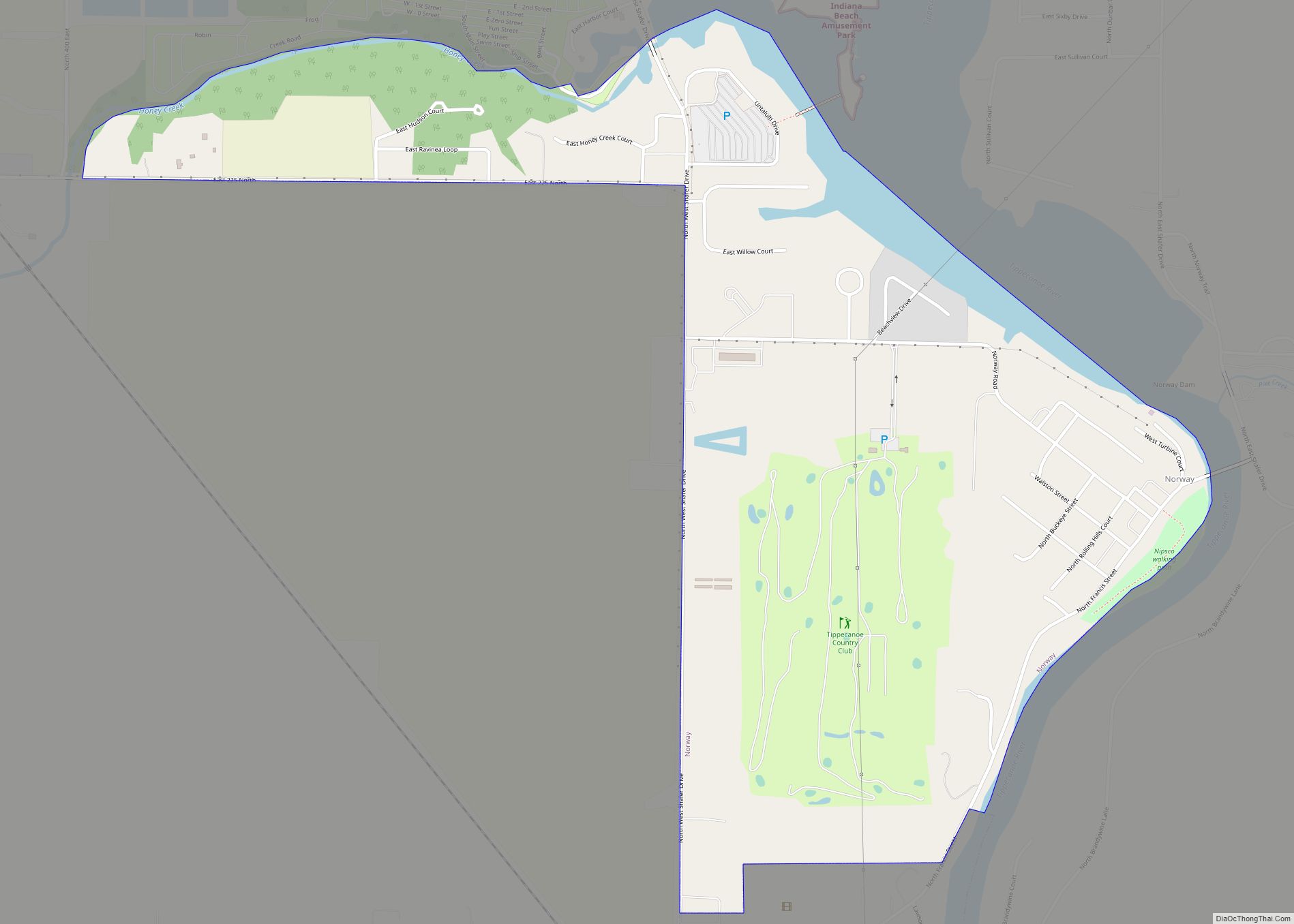
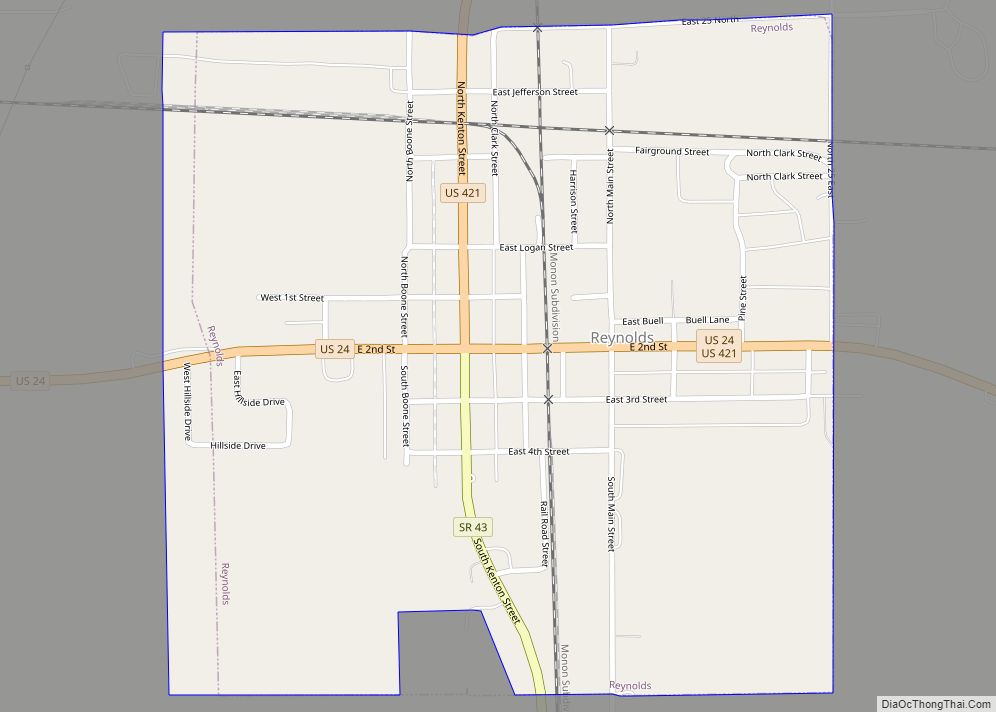
Online Interactive Map
Click on ![]() to view map in "full screen" mode.
to view map in "full screen" mode.
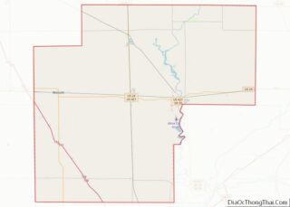
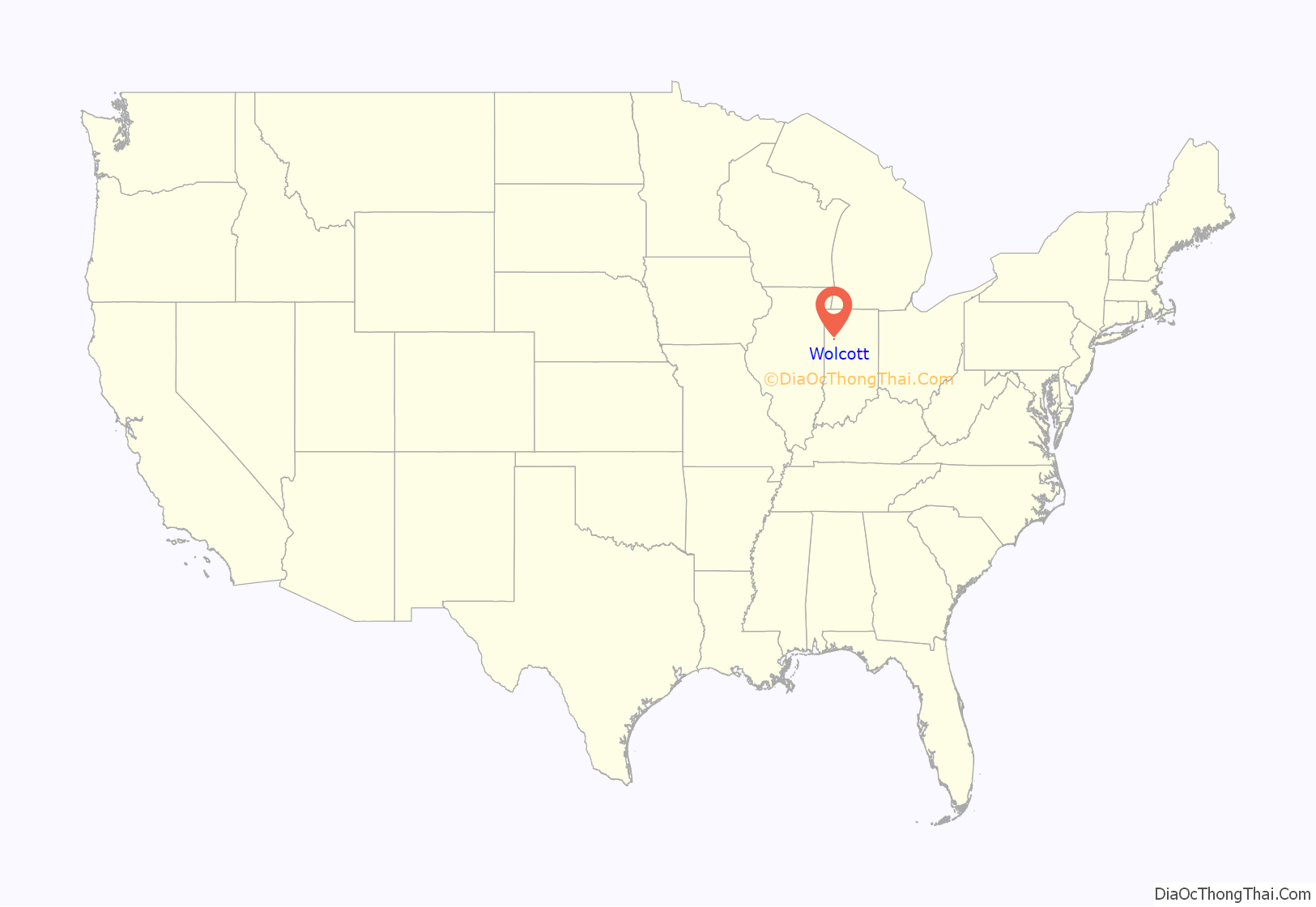
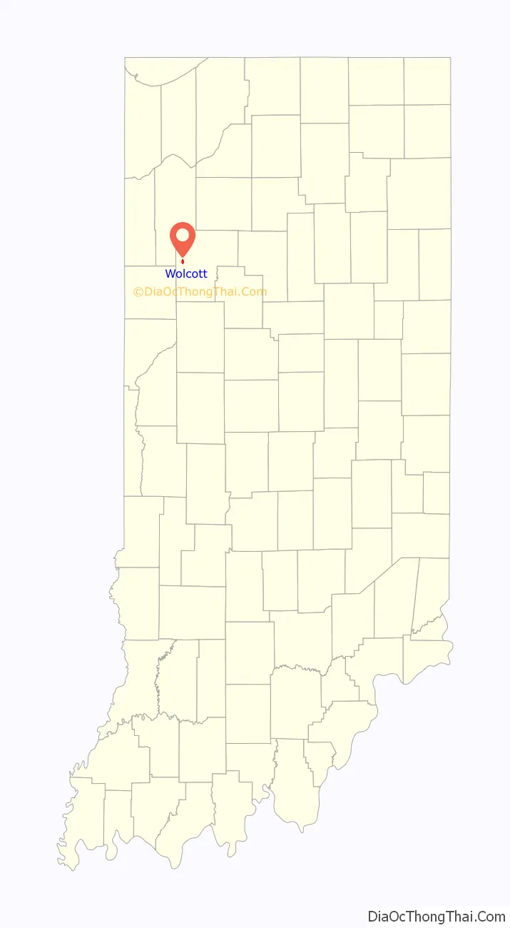
Wolcott location map. Where is Wolcott town?
History
Wolcott was platted in 1861 when the railroad was extended to that point and is named after its founder, Anson Wolcott. Oliver Wolcott, an ancestor of Anson, was a signer of the Declaration of Independence. A post office has been in operation at Wolcott since 1861.
The Wolcott House was formerly listed on the National Register of Historic Places. The Wolcott 4th of July Summer Festival has been celebrated every year since 1967 on the grounds of the Wolcott House, except for 2020 due to the Coronavirus outbreak. It is now (as of 2022) celebrated on the weekend prior to the 4th of July.
Major businesses in Wolcott (as of 2020) include Indiana Ribbon (one of the few decorative ribbon manufacturing plants left in the U.S.), Dwyer Instruments, the Bank of Wolcott (with branches in Remington and Monticello), and the Farmers Elevator.
Wolcott aims to become the quietest town in America after passing a new town ordinance in 2022. Town members can be fined for producing any audible sound that can be heard from a neighbor’s property line. This could include a dog bark, normal conversations, generators, radios, wind chimes, etc. However, lawn and power tools are permitted.
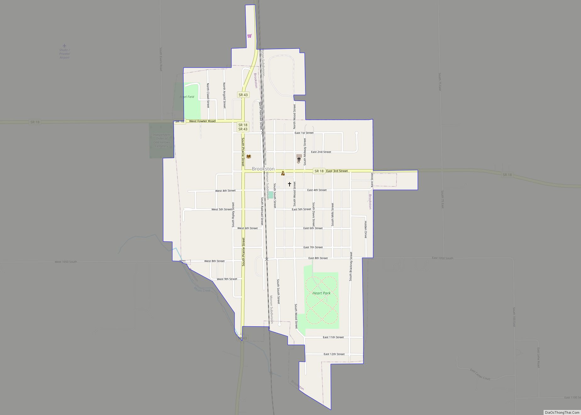
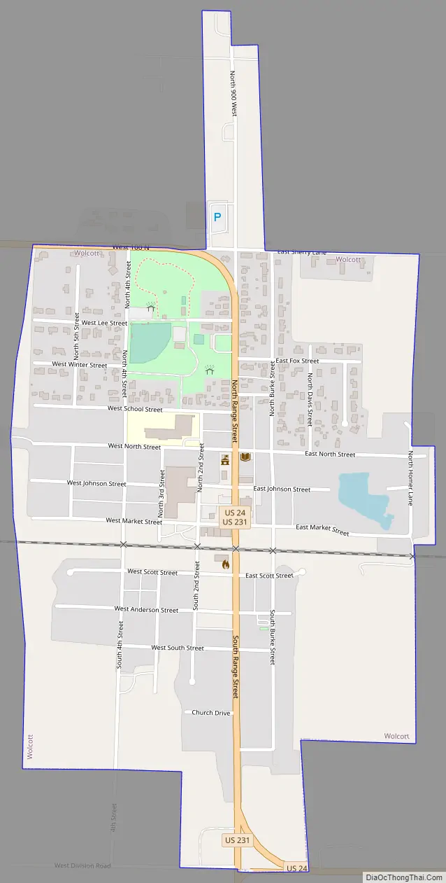
Wolcott Road Map
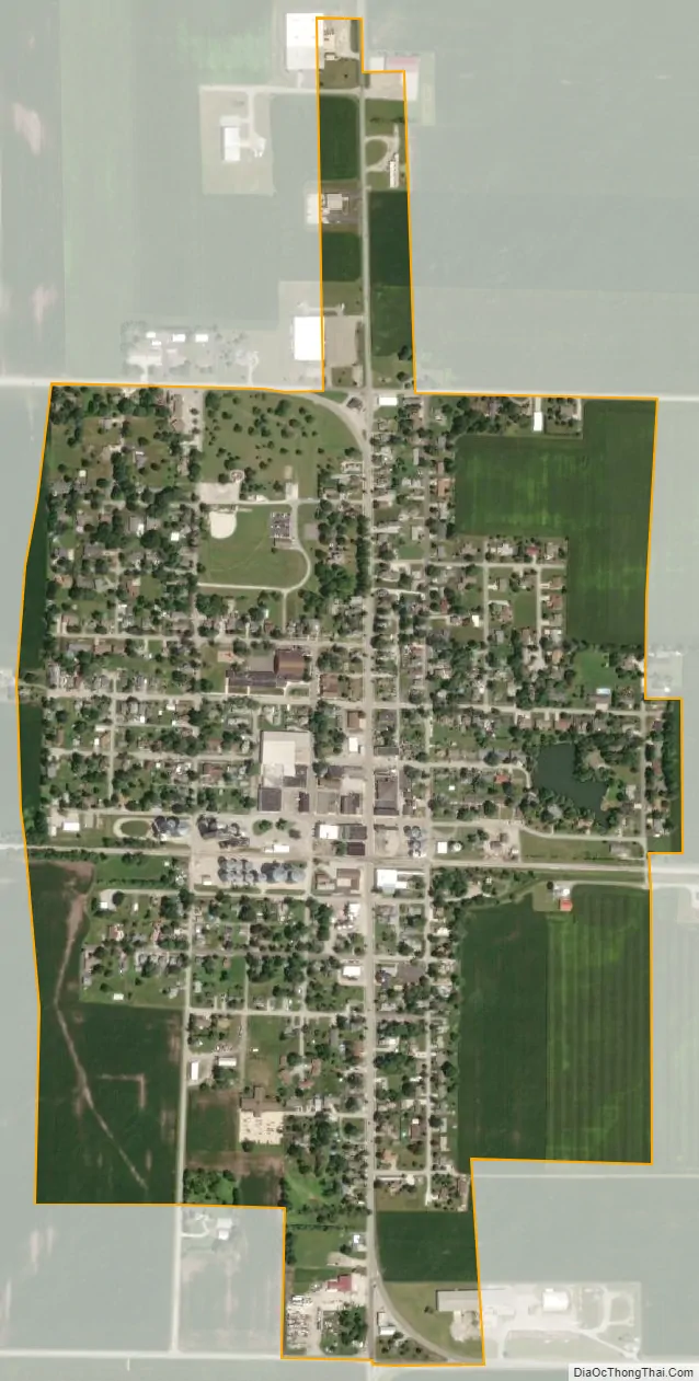
Wolcott city Satellite Map
Geography
According to the 2010 census, Wolcott has a total area of 0.59 square miles (1.53 km), all land.
See also
Map of Indiana State and its subdivision:- Adams
- Allen
- Bartholomew
- Benton
- Blackford
- Boone
- Brown
- Carroll
- Cass
- Clark
- Clay
- Clinton
- Crawford
- Daviess
- De Kalb
- Dearborn
- Decatur
- Delaware
- Dubois
- Elkhart
- Fayette
- Floyd
- Fountain
- Franklin
- Fulton
- Gibson
- Grant
- Greene
- Hamilton
- Hancock
- Harrison
- Hendricks
- Henry
- Howard
- Huntington
- Jackson
- Jasper
- Jay
- Jefferson
- Jennings
- Johnson
- Knox
- Kosciusko
- LaGrange
- Lake
- Lake Michigan
- LaPorte
- Lawrence
- Madison
- Marion
- Marshall
- Martin
- Miami
- Monroe
- Montgomery
- Morgan
- Newton
- Noble
- Ohio
- Orange
- Owen
- Parke
- Perry
- Pike
- Porter
- Posey
- Pulaski
- Putnam
- Randolph
- Ripley
- Rush
- Saint Joseph
- Scott
- Shelby
- Spencer
- Starke
- Steuben
- Sullivan
- Switzerland
- Tippecanoe
- Tipton
- Union
- Vanderburgh
- Vermillion
- Vigo
- Wabash
- Warren
- Warrick
- Washington
- Wayne
- Wells
- White
- Whitley
- Alabama
- Alaska
- Arizona
- Arkansas
- California
- Colorado
- Connecticut
- Delaware
- District of Columbia
- Florida
- Georgia
- Hawaii
- Idaho
- Illinois
- Indiana
- Iowa
- Kansas
- Kentucky
- Louisiana
- Maine
- Maryland
- Massachusetts
- Michigan
- Minnesota
- Mississippi
- Missouri
- Montana
- Nebraska
- Nevada
- New Hampshire
- New Jersey
- New Mexico
- New York
- North Carolina
- North Dakota
- Ohio
- Oklahoma
- Oregon
- Pennsylvania
- Rhode Island
- South Carolina
- South Dakota
- Tennessee
- Texas
- Utah
- Vermont
- Virginia
- Washington
- West Virginia
- Wisconsin
- Wyoming