Wingate, formerly known as “Pleasant Hill”, is a town in Coal Creek Township, Montgomery County, in the U.S. state of Indiana. The population was 237 at the 2020 census.
| Name: | Wingate town |
|---|---|
| LSAD Code: | 43 |
| LSAD Description: | town (suffix) |
| State: | Indiana |
| County: | Montgomery County |
| Elevation: | 781 ft (238 m) |
| Total Area: | 0.19 sq mi (0.50 km²) |
| Land Area: | 0.19 sq mi (0.50 km²) |
| Water Area: | 0.00 sq mi (0.00 km²) |
| Total Population: | 237 |
| Population Density: | 1,221.65/sq mi (472.83/km²) |
| ZIP code: | 47994 |
| Area code: | 765 |
| FIPS code: | 1884914 |
| GNISfeature ID: | 446183 |
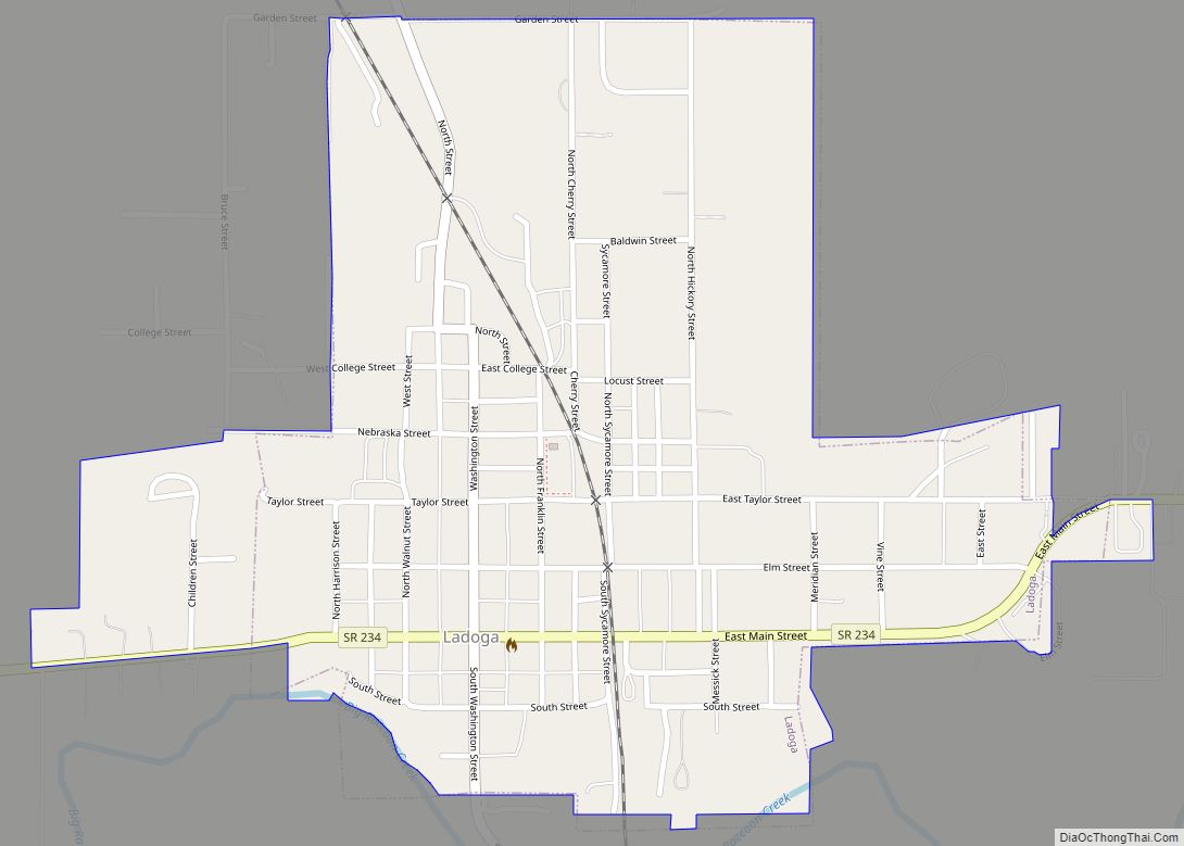
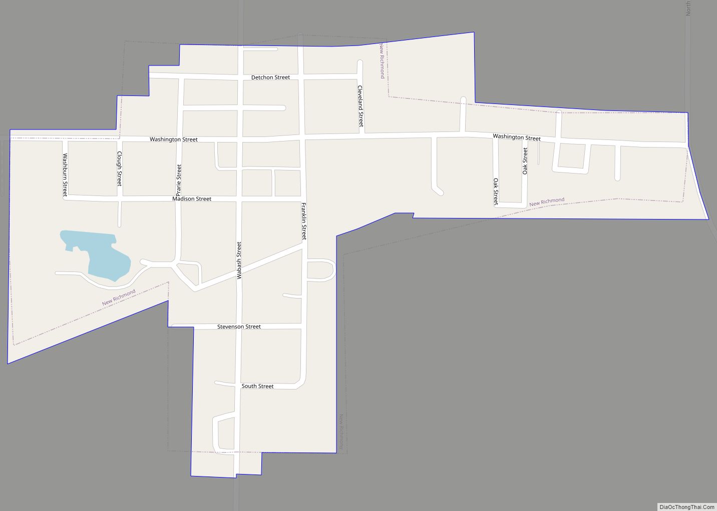
Online Interactive Map
Click on ![]() to view map in "full screen" mode.
to view map in "full screen" mode.
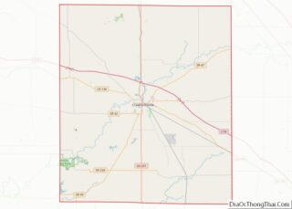
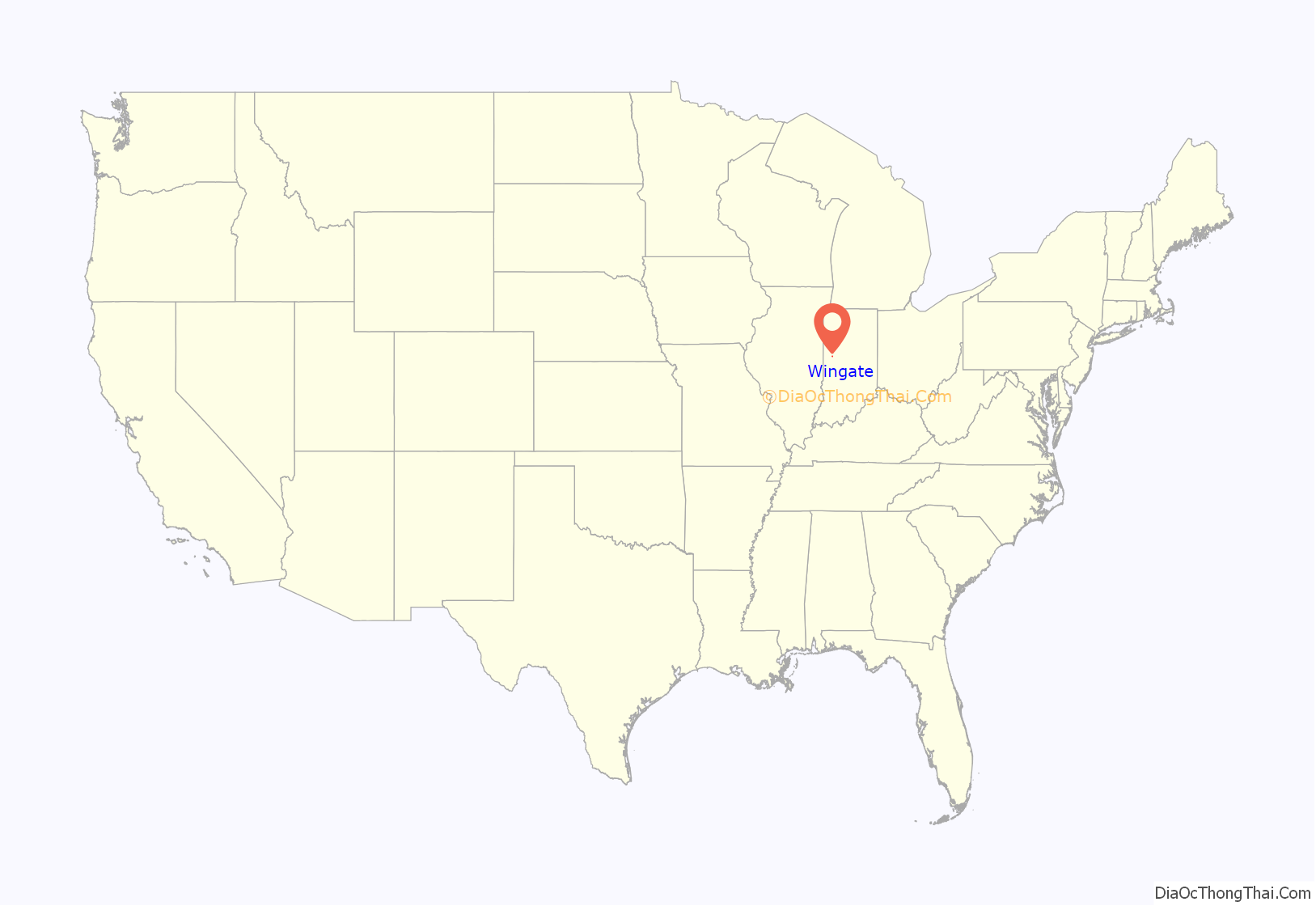
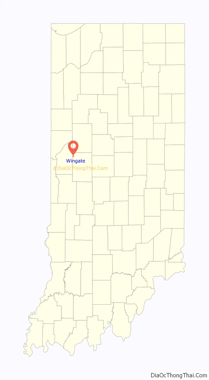
Wingate location map. Where is Wingate town?
History
Wingate was platted as “Pleasant Hill” by Christian Bever in 1832. Citizens renamed the town in honor of prominent townsperson John C. Wingate.
Sports heritage
Signage on the north and south ends of town (shown right) along Indiana State Road 25 boast that, following the first Indiana State Basketball Championships that were held in 1911, the Wingate team was the first to win back-to-back championships in 1913 and 1914. The same sign also mentions that Wingate produced four Indiana Basketball Hall of Fame inductees—Homer Stonebraker, Jesse Wood, Lee Thorn and Alonzo Goldsberry—and two football hall of famers. The Basketball Hall of Fame inducted a fifth player, Forest Crane, in 2013. Wingate was the site of the first electric basketball scoreboard; it was invented in 1935 by two local men, Lee Haxton and Roy Meharry.
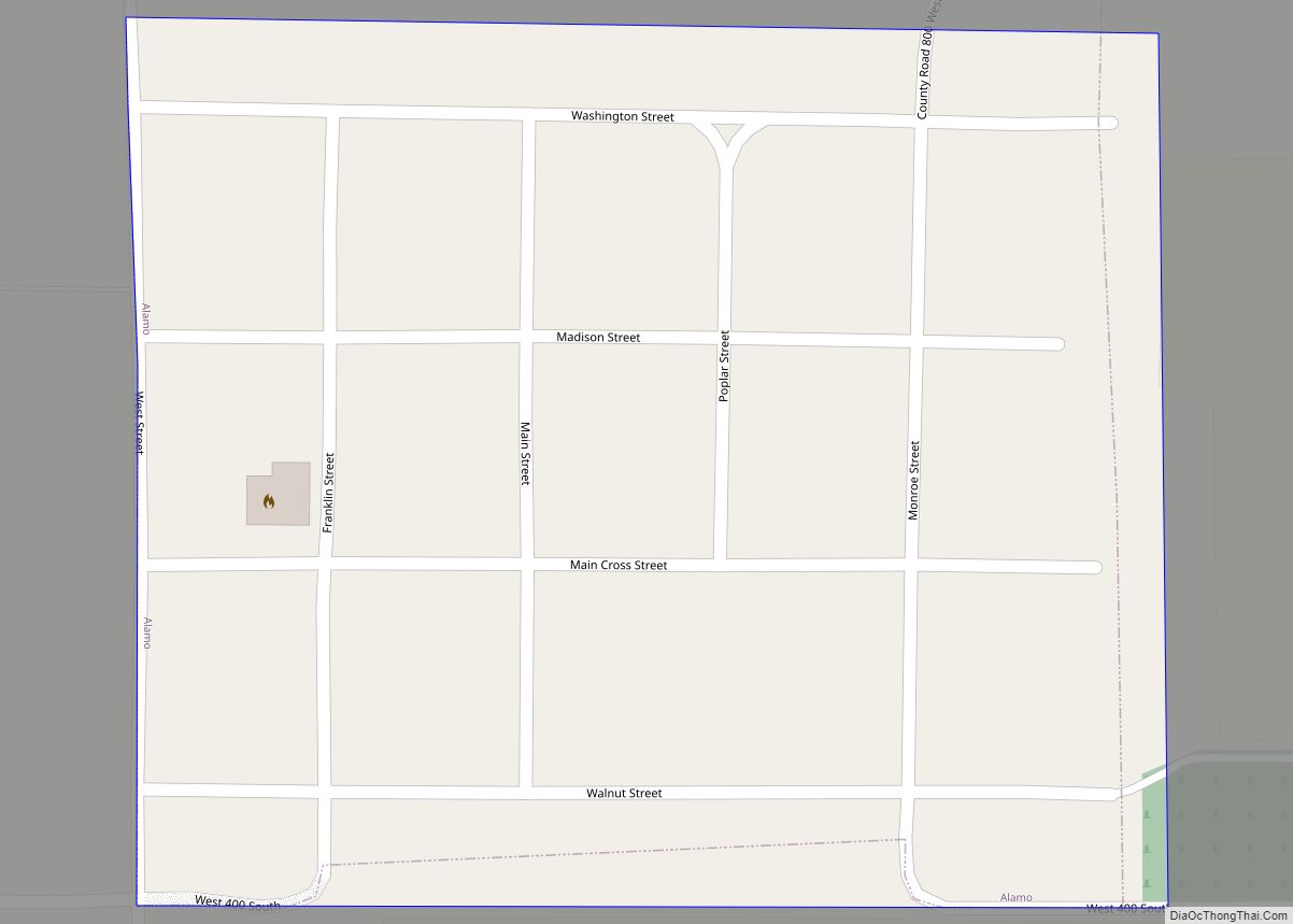
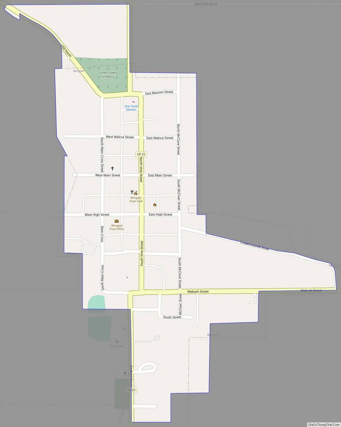
Wingate Road Map
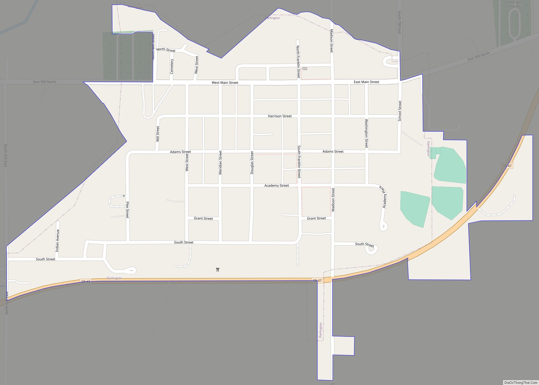
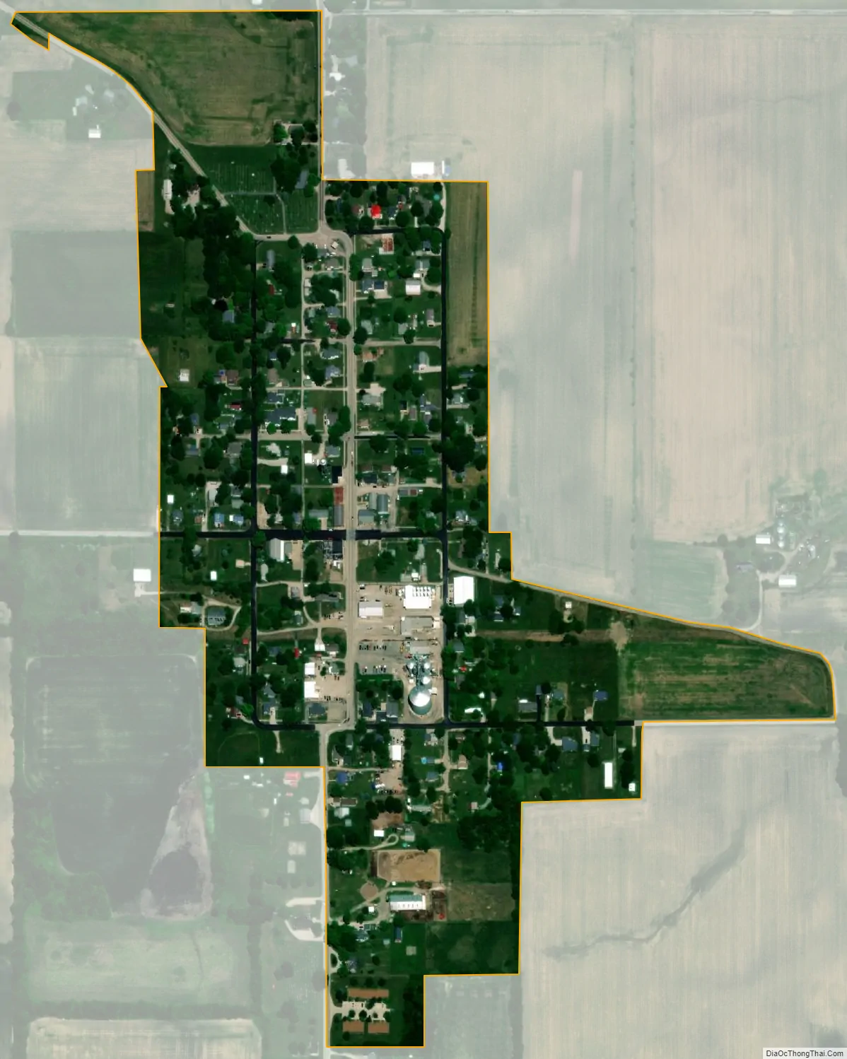
Wingate city Satellite Map
Geography
Wingate is located at the intersection of Indiana State Road 25 and Indiana State Road 55 in the northwest corner of Montgomery County, approximately 13 miles (21 km) northwest of Crawfordsville, the county seat. Wingate is the southern terminus of State Road 55, which runs northwest out of town, leading 5 miles (8 km) to Newtown. SR 25 leads south 6 miles (10 km) to Waynetown and northeast 22 miles (35 km) to Lafayette.
According to the U.S. Census Bureau, Wingate has a total area of 0.19 square miles (0.49 km), all land.
See also
Map of Indiana State and its subdivision:- Adams
- Allen
- Bartholomew
- Benton
- Blackford
- Boone
- Brown
- Carroll
- Cass
- Clark
- Clay
- Clinton
- Crawford
- Daviess
- De Kalb
- Dearborn
- Decatur
- Delaware
- Dubois
- Elkhart
- Fayette
- Floyd
- Fountain
- Franklin
- Fulton
- Gibson
- Grant
- Greene
- Hamilton
- Hancock
- Harrison
- Hendricks
- Henry
- Howard
- Huntington
- Jackson
- Jasper
- Jay
- Jefferson
- Jennings
- Johnson
- Knox
- Kosciusko
- LaGrange
- Lake
- Lake Michigan
- LaPorte
- Lawrence
- Madison
- Marion
- Marshall
- Martin
- Miami
- Monroe
- Montgomery
- Morgan
- Newton
- Noble
- Ohio
- Orange
- Owen
- Parke
- Perry
- Pike
- Porter
- Posey
- Pulaski
- Putnam
- Randolph
- Ripley
- Rush
- Saint Joseph
- Scott
- Shelby
- Spencer
- Starke
- Steuben
- Sullivan
- Switzerland
- Tippecanoe
- Tipton
- Union
- Vanderburgh
- Vermillion
- Vigo
- Wabash
- Warren
- Warrick
- Washington
- Wayne
- Wells
- White
- Whitley
- Alabama
- Alaska
- Arizona
- Arkansas
- California
- Colorado
- Connecticut
- Delaware
- District of Columbia
- Florida
- Georgia
- Hawaii
- Idaho
- Illinois
- Indiana
- Iowa
- Kansas
- Kentucky
- Louisiana
- Maine
- Maryland
- Massachusetts
- Michigan
- Minnesota
- Mississippi
- Missouri
- Montana
- Nebraska
- Nevada
- New Hampshire
- New Jersey
- New Mexico
- New York
- North Carolina
- North Dakota
- Ohio
- Oklahoma
- Oregon
- Pennsylvania
- Rhode Island
- South Carolina
- South Dakota
- Tennessee
- Texas
- Utah
- Vermont
- Virginia
- Washington
- West Virginia
- Wisconsin
- Wyoming