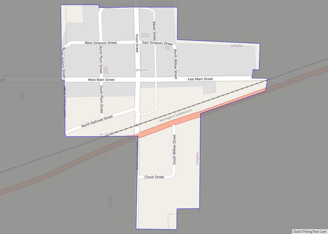
Langdon is a city in Reno County, Kansas, United States. As of the 2020 census, the population of the city was 39. Langdon city overview: Name: Langdon city LSAD Code: 25 LSAD Description: city (suffix) State: Kansas County: Reno County Founded: 1870s Incorporated: 1912 Elevation: 1,693 ft (516 m) Total Area: 0.10 sq mi (0.26 km²) Land Area: 0.10 sq mi (0.26 km²) ... Read more
Kansas Cities and Places
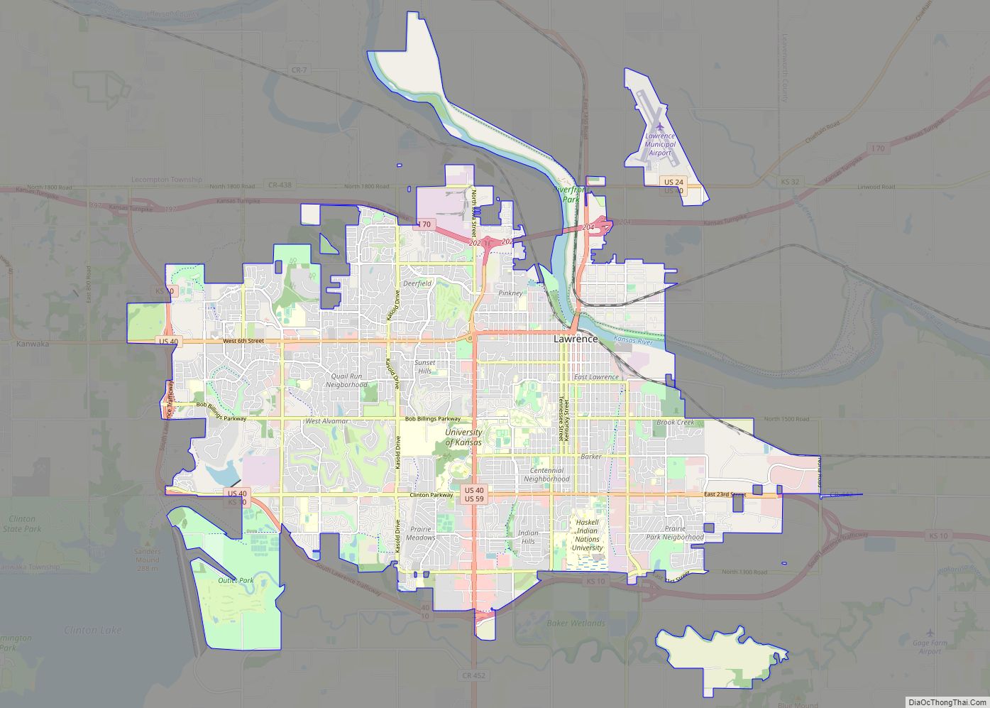
Lawrence is the county seat of Douglas County, Kansas, United States, and the sixth-largest city in the state. It is in the northeastern sector of the state, astride Interstate 70, between the Kansas and Wakarusa Rivers. As of the 2020 census, the population of the city was 94,934. Lawrence is a college town and the ... Read more
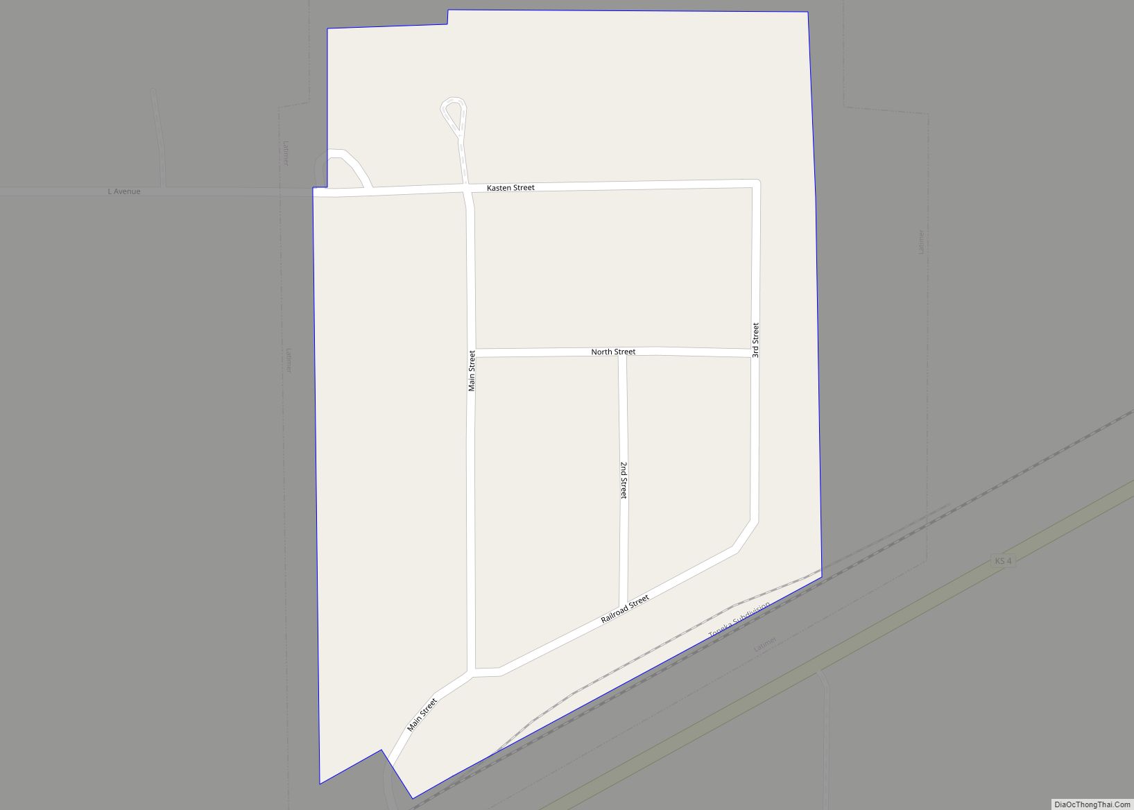
Latimer is a city in Morris County, Kansas, United States. As of the 2020 census, the population of the city was 31. Latimer city overview: Name: Latimer city LSAD Code: 25 LSAD Description: city (suffix) State: Kansas County: Morris County Founded: 1883 Incorporated: 1929 Elevation: 1,414 ft (431 m) Total Area: 0.06 sq mi (0.15 km²) Land Area: 0.06 sq mi (0.15 km²) ... Read more
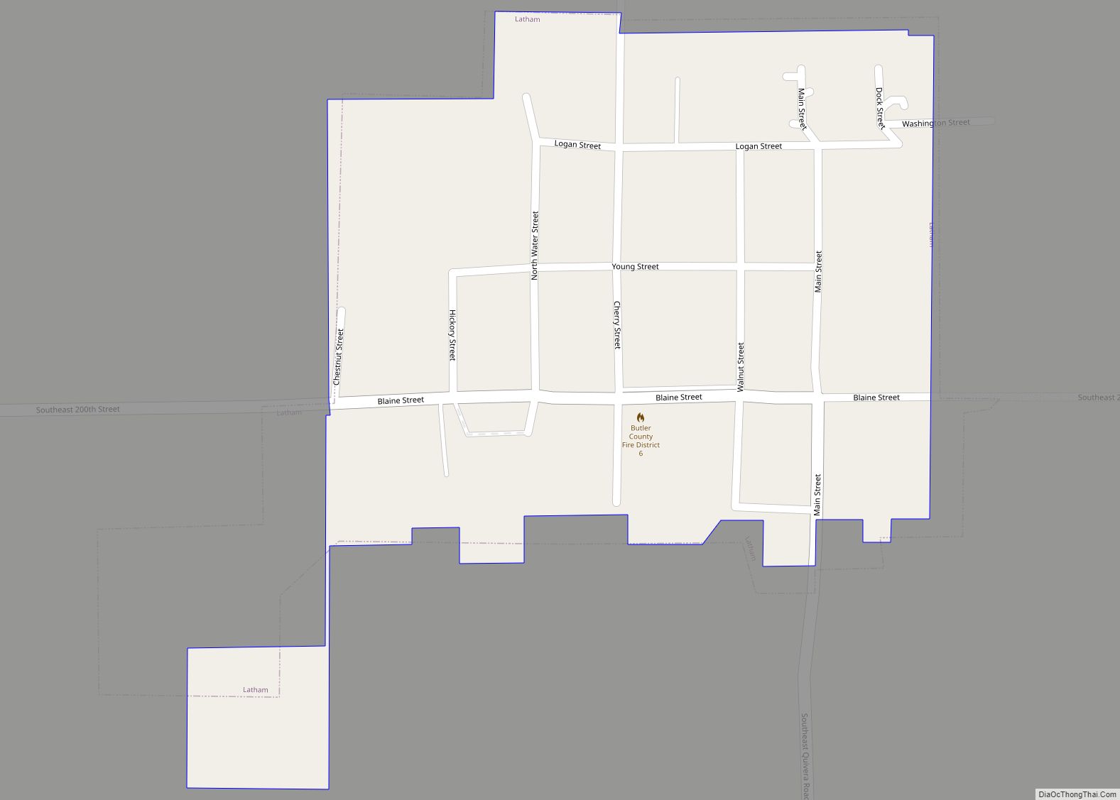
Latham is a city in Butler County, Kansas, United States. As of the 2020 census, the population of the city was 96. Latham city overview: Name: Latham city LSAD Code: 25 LSAD Description: city (suffix) State: Kansas County: Butler County Founded: 1880s Incorporated: 1902 Elevation: 1,470 ft (450 m) Total Area: 0.22 sq mi (0.56 km²) Land Area: 0.22 sq mi (0.56 km²) ... Read more
Lebanon is a city in Smith County, Kansas, United States. As of the 2020 census, the population of the city was 178. Lebanon city overview: Name: Lebanon city LSAD Code: 25 LSAD Description: city (suffix) State: Kansas County: Smith County Founded: 1876 Incorporated: 1889 Elevation: 1,844 ft (562 m) Total Area: 0.32 sq mi (0.84 km²) Land Area: 0.32 sq mi (0.84 km²) ... Read more
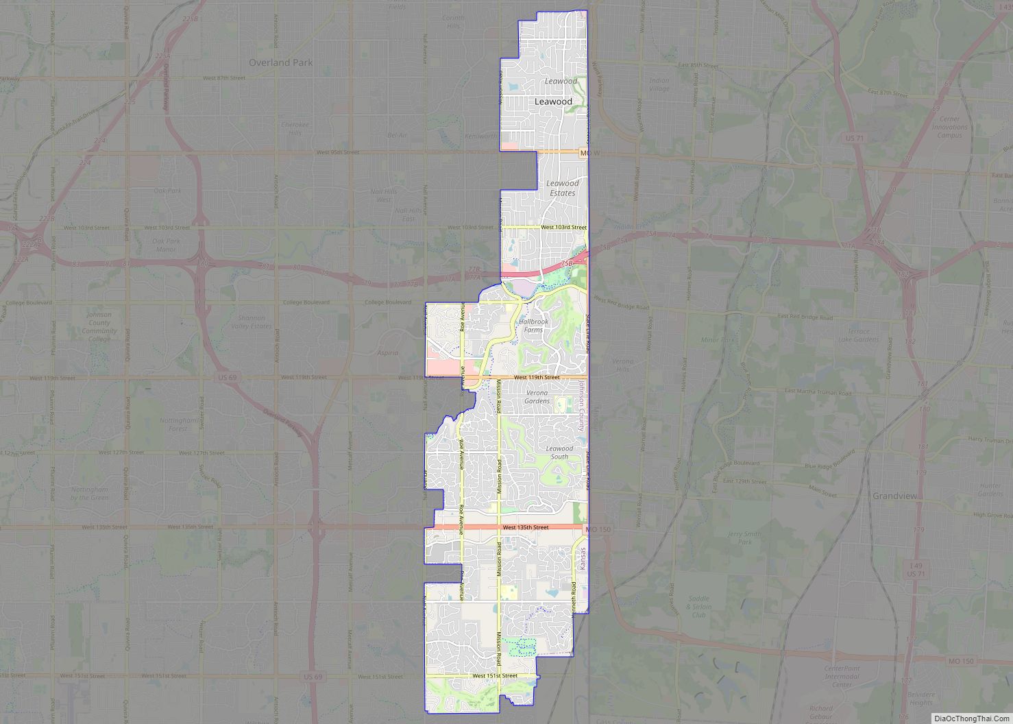
Leawood /ˈliːwʊd/ is a city in Johnson County, Kansas, United States, and is part of the Kansas City metropolitan area. As of the 2020 census, the population of the city was 33,902. Leawood city overview: Name: Leawood city LSAD Code: 25 LSAD Description: city (suffix) State: Kansas County: Johnson County Founded: 1920s Incorporated: 1948 Elevation: ... Read more
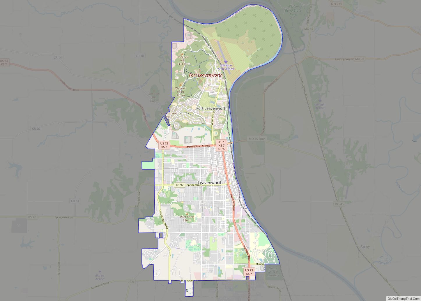
Leavenworth (/ˈlɛvənˌwɜːrθ/) is the county seat and largest city of Leavenworth County, Kansas, United States and is part of the Kansas City metropolitan area. As of the 2020 census, the population of the city was 37,351. It is located on the west bank of the Missouri River. The site of Fort Leavenworth, built in 1827, ... Read more
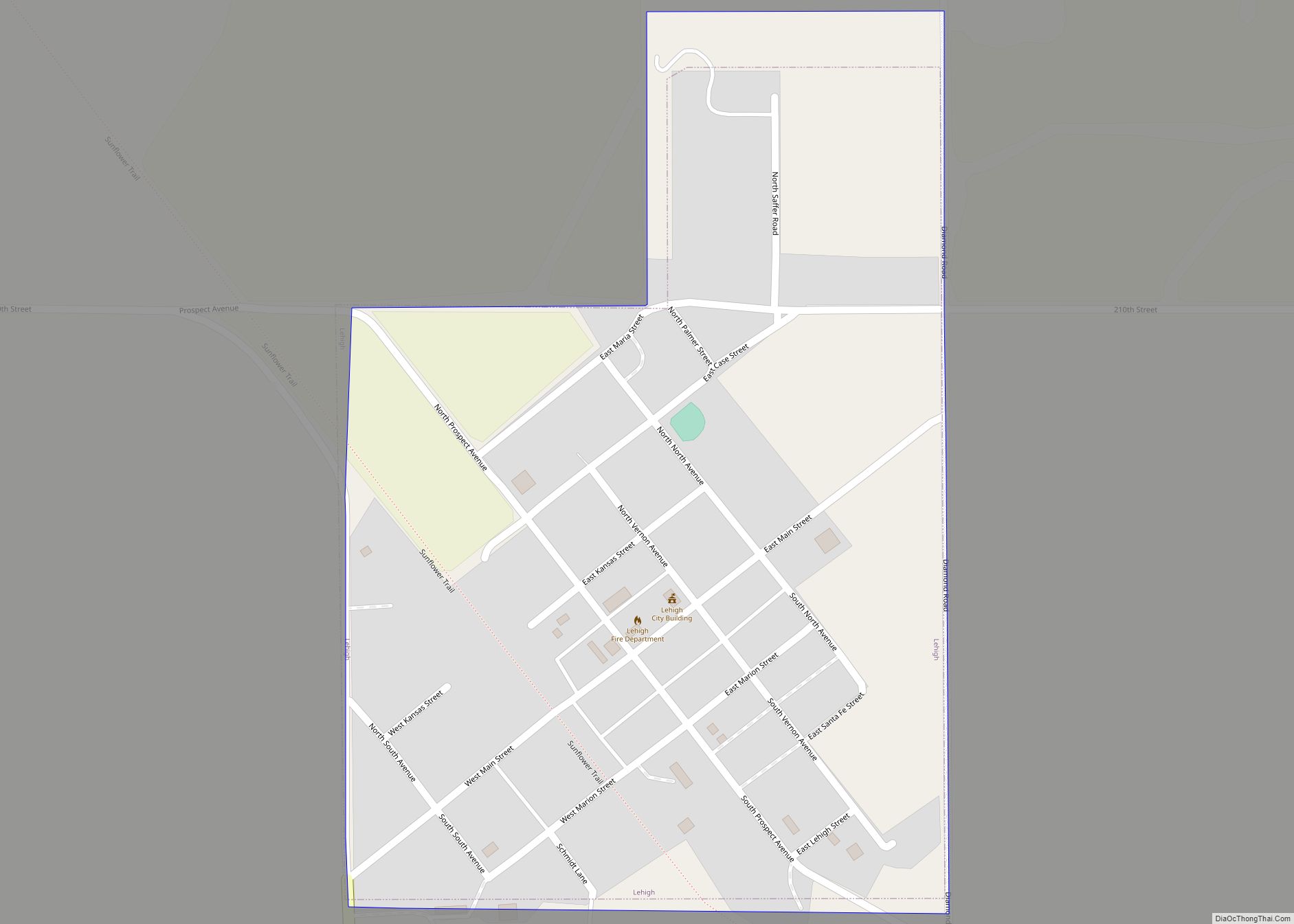
Lehigh is a city in Marion County, Kansas, United States. As of the 2020 census, the population of the city was 161. It is located between Hillsboro and Canton on the north side of U.S. Route 56. Lehigh city overview: Name: Lehigh city LSAD Code: 25 LSAD Description: city (suffix) State: Kansas County: Marion County ... Read more
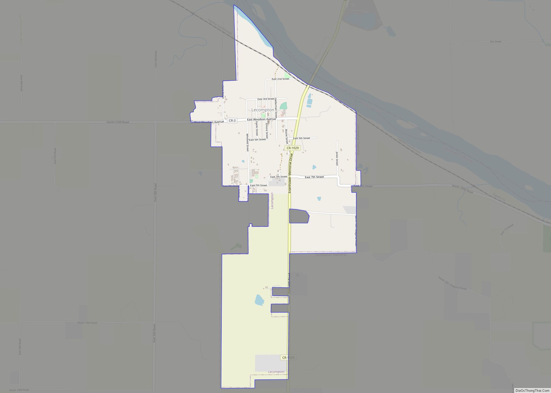
Lecompton (pronounced /lɪˈkɒmptən/) is a city in Douglas County, Kansas, United States. As of the 2020 census, the population of the city was 588. Lecompton was the de jure territorial capital of Kansas from 1855 to 1861, and the Douglas County seat from 1855 to 1858. Anti-slavery Lawrence became the de facto capital during the ... Read more
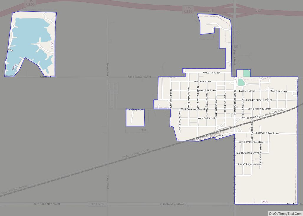
Lebo is a city in Coffey County, Kansas, United States. As of the 2020 census, the population of the city was 885. Lebo city overview: Name: Lebo city LSAD Code: 25 LSAD Description: city (suffix) State: Kansas County: Coffey County Founded: 1883 Incorporated: 1886 Elevation: 1,175 ft (358 m) Total Area: 1.04 sq mi (2.71 km²) Land Area: 0.96 sq mi (2.48 km²) ... Read more
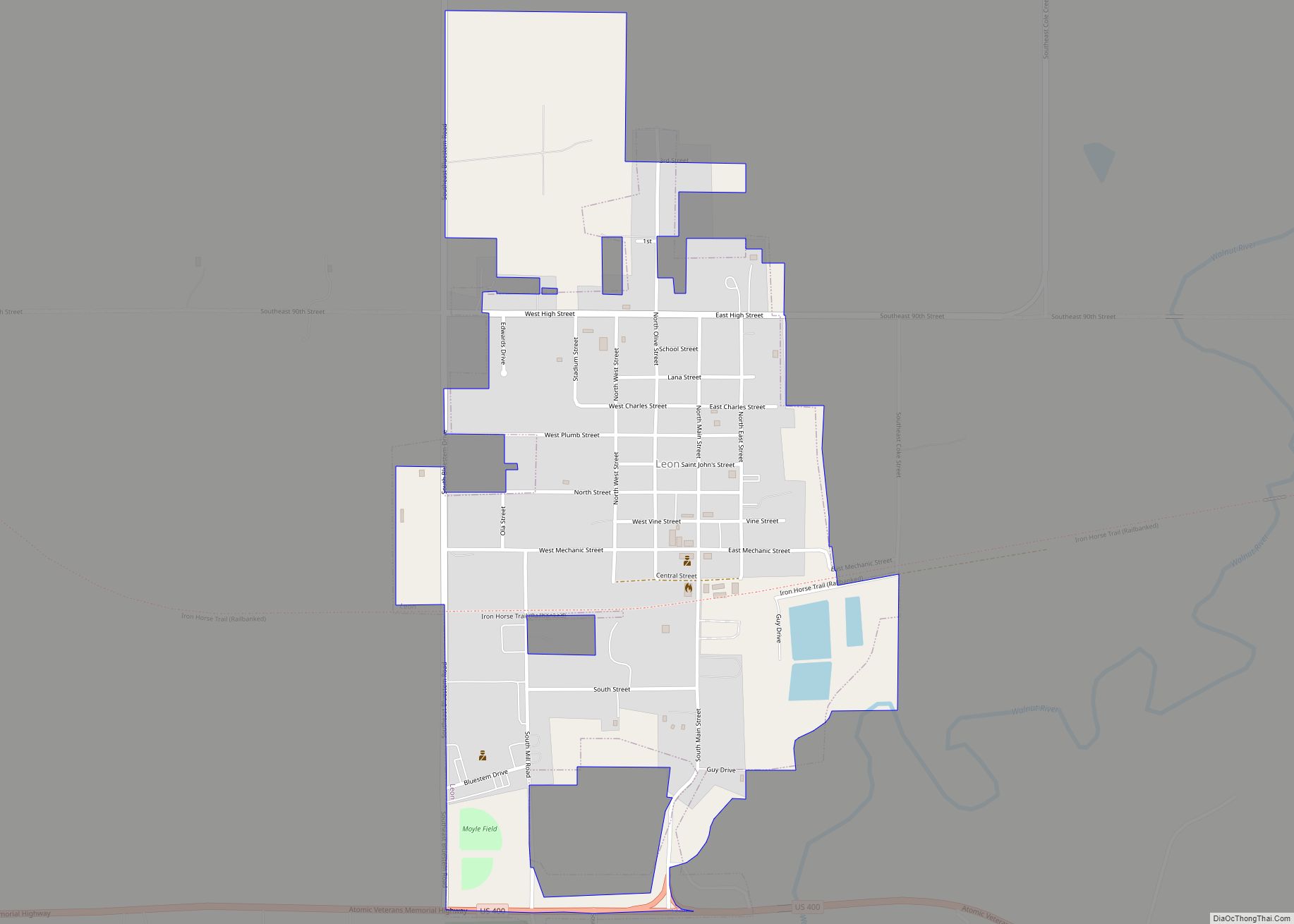
Leon is a city in Butler County, Kansas, United States. As of the 2020 census, the population of the city was 669. Leon city overview: Name: Leon city LSAD Code: 25 LSAD Description: city (suffix) State: Kansas County: Butler County Founded: 1879 Incorporated: 1882 Elevation: 1,348 ft (411 m) Total Area: 0.72 sq mi (1.87 km²) Land Area: 0.72 sq mi (1.87 km²) ... Read more
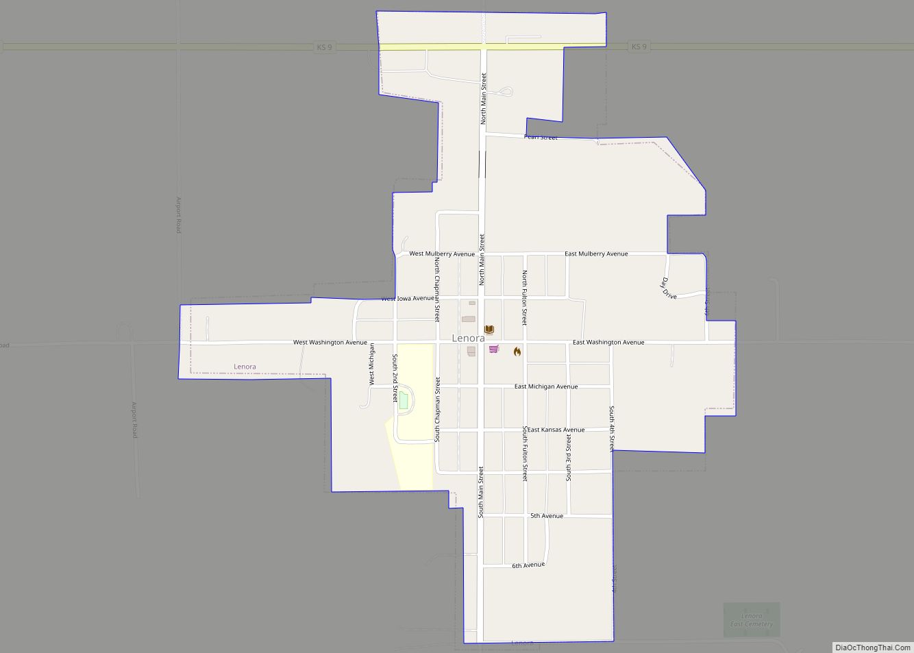
Lenora is a city in Norton County, Kansas, United States. As of the 2020 census, the population of the city was 207. Lenora city overview: Name: Lenora city LSAD Code: 25 LSAD Description: city (suffix) State: Kansas County: Norton County Founded: 1873 Incorporated: 1887 Elevation: 2,267 ft (691 m) Total Area: 0.48 sq mi (1.25 km²) Land Area: 0.48 sq mi (1.25 km²) ... Read more
