Lebanon is a city in Smith County, Kansas, United States. As of the 2020 census, the population of the city was 178.
| Name: | Lebanon city |
|---|---|
| LSAD Code: | 25 |
| LSAD Description: | city (suffix) |
| State: | Kansas |
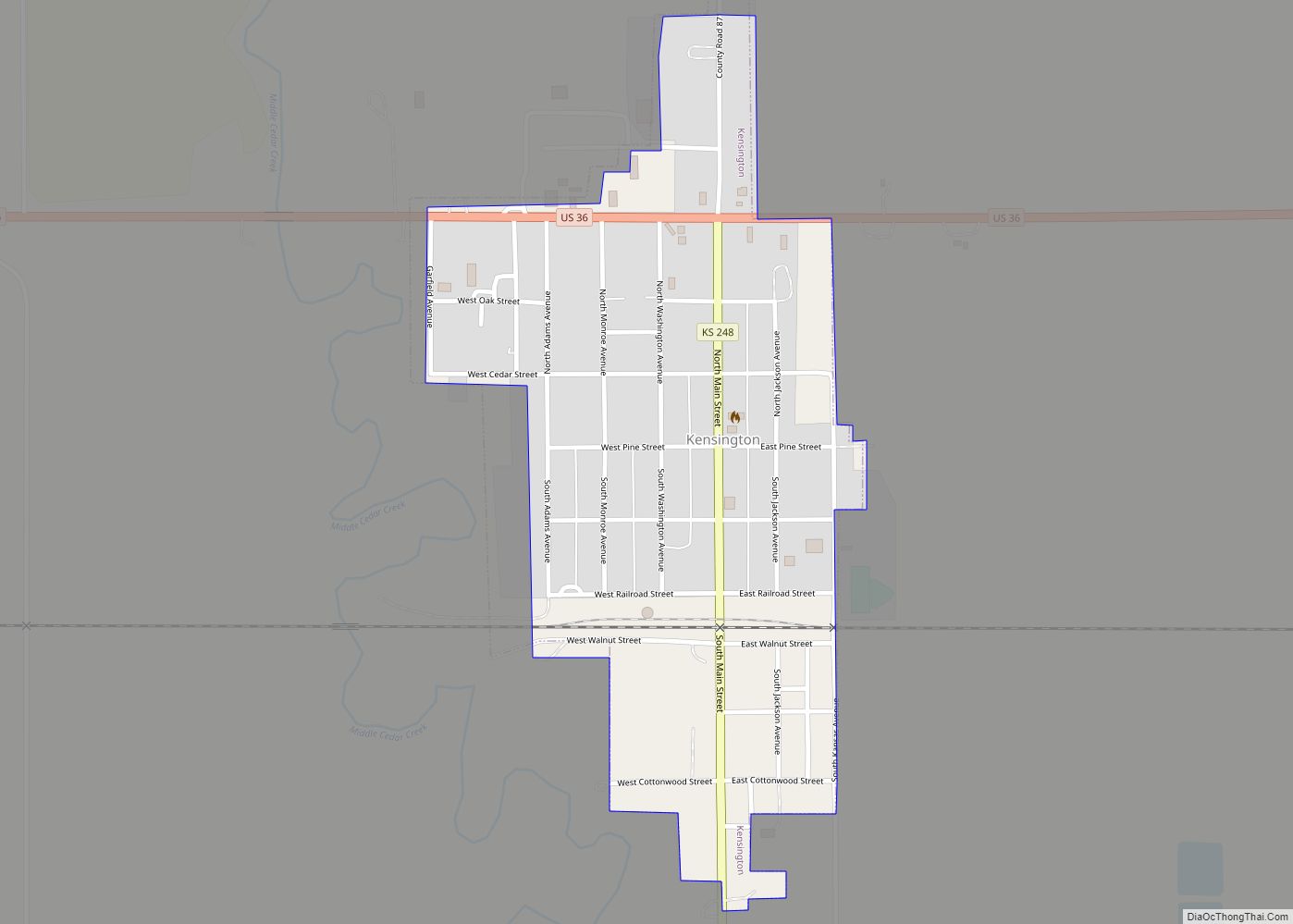
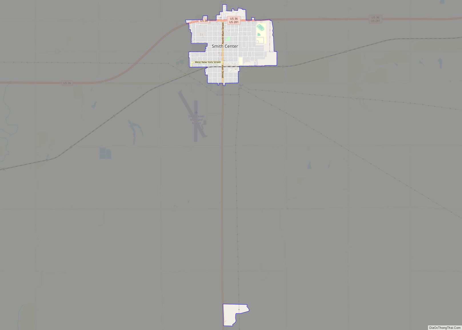
| County: | Smith County |
| Founded: | 1876 |
| Incorporated: | 1889 |
| Elevation: | 1,844 ft (562 m) |
| Total Area: | 0.32 sq mi (0.84 km²) |
| Land Area: | 0.32 sq mi (0.84 km²) |
| Water Area: | 0.00 sq mi (0.00 km²) |
| Total Population: | 178 |
| Population Density: | 560/sq mi (210/km²) |
| ZIP code: | 66952 |
| Area code: | 785 |
| FIPS code: | 2039100 |
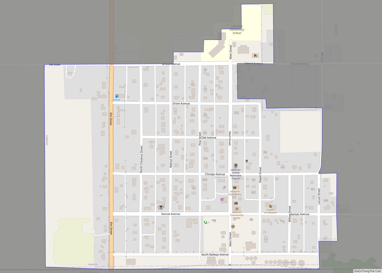
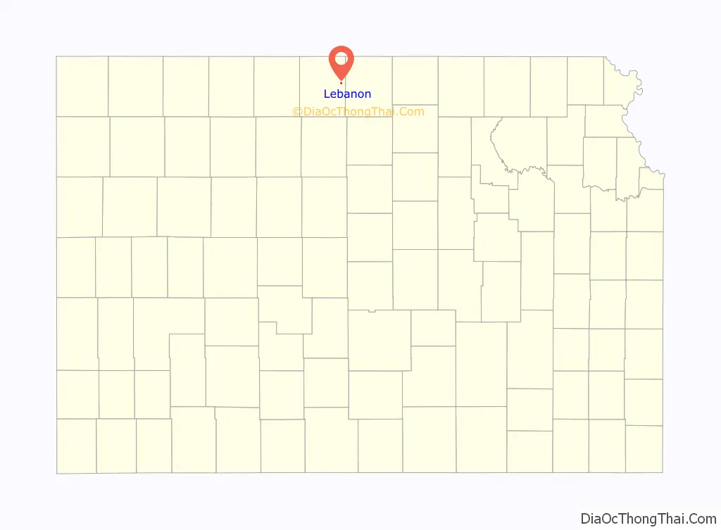
Online Interactive Map
Click on ![]() to view map in "full screen" mode.
to view map in "full screen" mode.
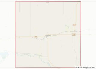
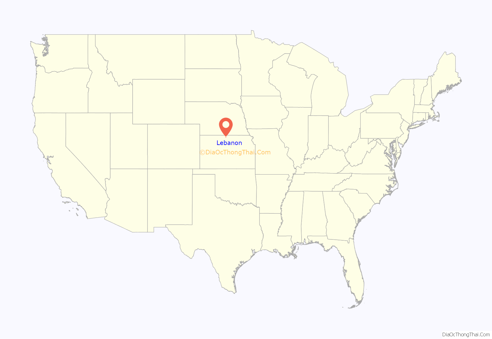
Lebanon location map. Where is Lebanon city?
History
Lebanon was founded in 1876 at a site about 4 miles (6.4 km) distant from its present site. It was moved to the new site in about 1887–1888. Lebanon is named after Lebanon, Kentucky.
In 1918, a scientific survey established the geographic center of the 48 contiguous US states about 2.6 miles (4.2 km) northwest of Lebanon, and a monument was subsequently erected at the site. The geographic center of all 50 of the US states is located near Belle Fourche, South Dakota.
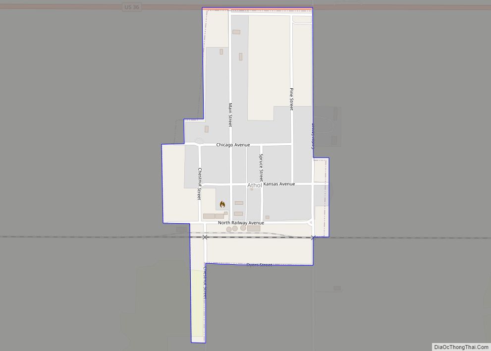
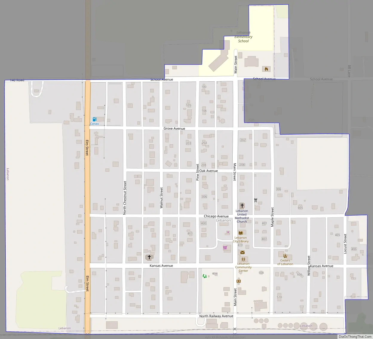
Lebanon Road Map
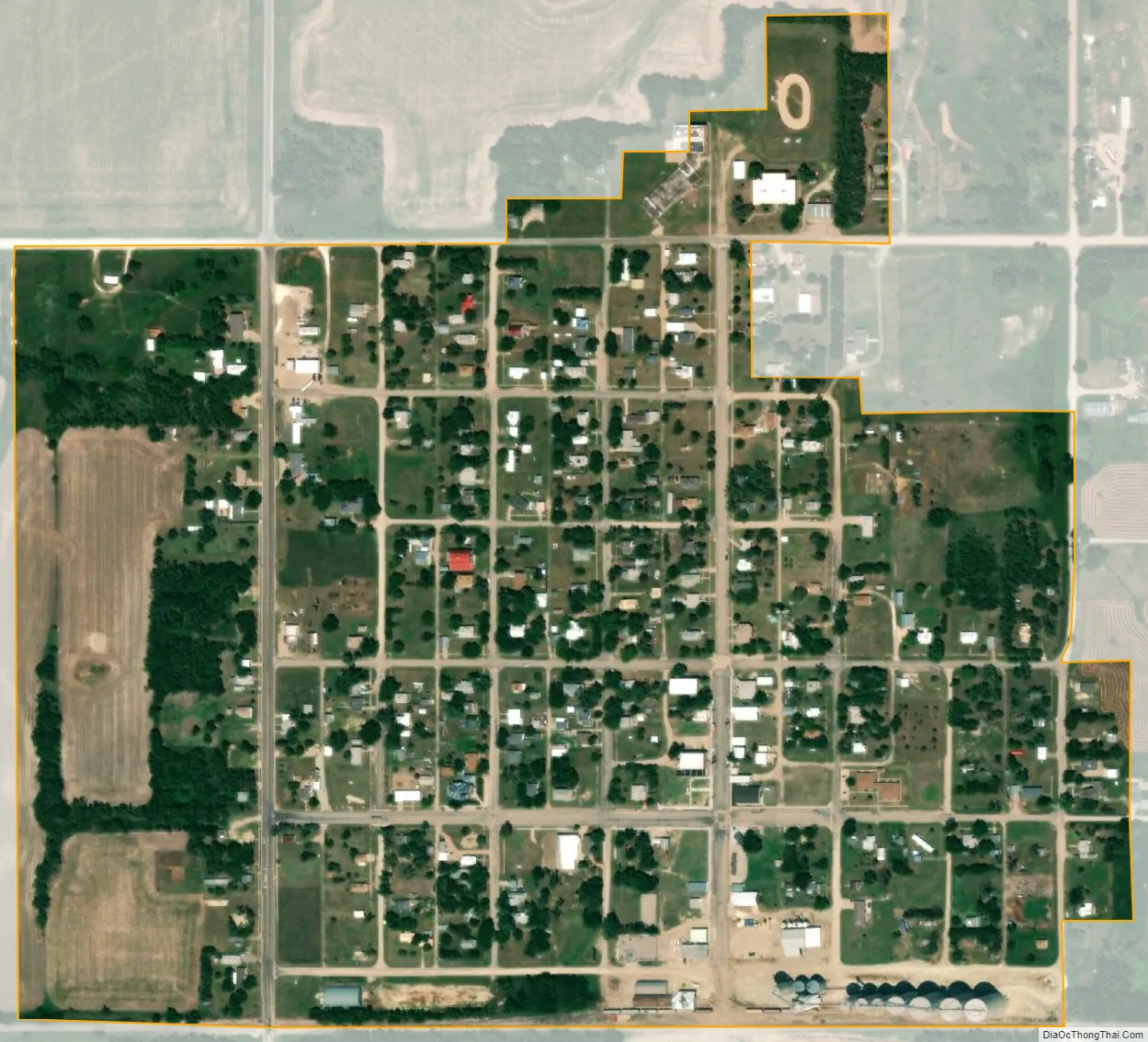
Lebanon city Satellite Map
Geography
Lebanon is located at 39°48′38″N 98°33′22″W / 39.81056°N 98.55611°W / 39.81056; -98.55611 (39.810492, -98.556061). According to the United States Census Bureau, the city has a total area of 0.316 square miles (0.818 km), all land. On February 13, 1905, the temperature fell to -40 °F (-40 °C), the lowest minimum temperature ever recorded in Kansas.
See also
Map of Kansas State and its subdivision:- Allen
- Anderson
- Atchison
- Barber
- Barton
- Bourbon
- Brown
- Butler
- Chase
- Chautauqua
- Cherokee
- Cheyenne
- Clark
- Clay
- Cloud
- Coffey
- Comanche
- Cowley
- Crawford
- Decatur
- Dickinson
- Doniphan
- Douglas
- Edwards
- Elk
- Ellis
- Ellsworth
- Finney
- Ford
- Franklin
- Geary
- Gove
- Graham
- Grant
- Gray
- Greeley
- Greenwood
- Hamilton
- Harper
- Harvey
- Haskell
- Hodgeman
- Jackson
- Jefferson
- Jewell
- Johnson
- Kearny
- Kingman
- Kiowa
- Labette
- Lane
- Leavenworth
- Lincoln
- Linn
- Logan
- Lyon
- Marion
- Marshall
- McPherson
- Meade
- Miami
- Mitchell
- Montgomery
- Morris
- Morton
- Nemaha
- Neosho
- Ness
- Norton
- Osage
- Osborne
- Ottawa
- Pawnee
- Phillips
- Pottawatomie
- Pratt
- Rawlins
- Reno
- Republic
- Rice
- Riley
- Rooks
- Rush
- Russell
- Saline
- Scott
- Sedgwick
- Seward
- Shawnee
- Sheridan
- Sherman
- Smith
- Stafford
- Stanton
- Stevens
- Sumner
- Thomas
- Trego
- Wabaunsee
- Wallace
- Washington
- Wichita
- Wilson
- Woodson
- Wyandotte
- Alabama
- Alaska
- Arizona
- Arkansas
- California
- Colorado
- Connecticut
- Delaware
- District of Columbia
- Florida
- Georgia
- Hawaii
- Idaho
- Illinois
- Indiana
- Iowa
- Kansas
- Kentucky
- Louisiana
- Maine
- Maryland
- Massachusetts
- Michigan
- Minnesota
- Mississippi
- Missouri
- Montana
- Nebraska
- Nevada
- New Hampshire
- New Jersey
- New Mexico
- New York
- North Carolina
- North Dakota
- Ohio
- Oklahoma
- Oregon
- Pennsylvania
- Rhode Island
- South Carolina
- South Dakota
- Tennessee
- Texas
- Utah
- Vermont
- Virginia
- Washington
- West Virginia
- Wisconsin
- Wyoming