Leawood /ˈliːwʊd/ is a city in Johnson County, Kansas, United States, and is part of the Kansas City metropolitan area. As of the 2020 census, the population of the city was 33,902.
| Name: | Leawood city |
|---|---|
| LSAD Code: | 25 |
| LSAD Description: | city (suffix) |
| State: | Kansas |
| County: | Johnson County |
| Founded: | 1920s |
| Incorporated: | 1948 |
| Elevation: | 942 ft (287 m) |
| Total Area: | 15.21 sq mi (39.38 km²) |
| Land Area: | 15.11 sq mi (39.12 km²) |
| Water Area: | 0.10 sq mi (0.26 km²) |
| Total Population: | 33,902 |
| Population Density: | 2,200/sq mi (860/km²) |
| ZIP code: | 66206, 66207, 66209, 66211, 66224 |
| Area code: | 913 |
| FIPS code: | 2039075 |
| Website: | leawood.org |
Online Interactive Map
Click on ![]() to view map in "full screen" mode.
to view map in "full screen" mode.
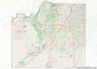
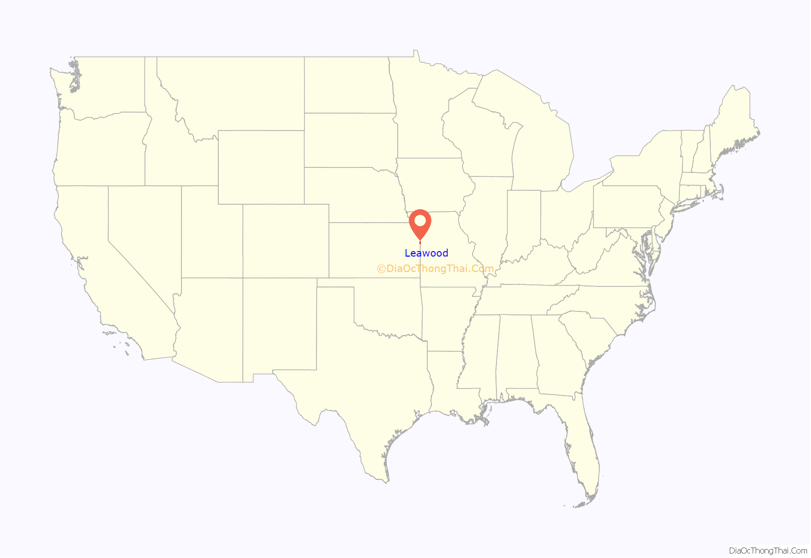
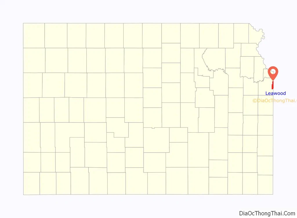
Leawood location map. Where is Leawood city?
History
19th century
After the 1803 Louisiana Purchase, the area east of present-day Leawood opened for settlement. The Santa Fe Trail which ran through the area also contributed to the development of the area. The Border Ruffian War (1855-1857), part of a larger conflict known as Bleeding Kansas, damaged the local economy as pro-slavery activists from the slave state of Missouri attacked settlers, traders, and those traveling along the Santa Fe Trail. Conditions improved with the founding of Oxford, Kansas, the predecessor of Leawood. The township was destroyed by the American Civil War, and there was little left by 1865.
Leawood was named for Oscar G. Lee, the original land owner of the town site.
20th century
Modern Leawood was established in the 1920s, after Oscar G. Lee, a retired police chief from Oklahoma, moved to Johnson County. He supervised the construction of Lee Boulevard for public use.
In 1948, a housing development by the Kroh brothers led to the incorporation as a city. On November 30, 1948, Leawood became a city of the third class with a population of less than 2,000. By 1959, it had become a city of the second class. As of 2014, it is a city of the first class with approximately 32,800 residents.
As of 2015, it was one of the Kansas City metropolitan area’s wealthiest suburbs, alongside Mission Hills, Kansas, the Country Club Plaza neighborhood, and Olathe, Kansas. Particularly the neighborhoods of Hallbrook, Mission Hill Estates, and Tuscany Reserve were all rated in the top 1%, according to a widely cited research professor.
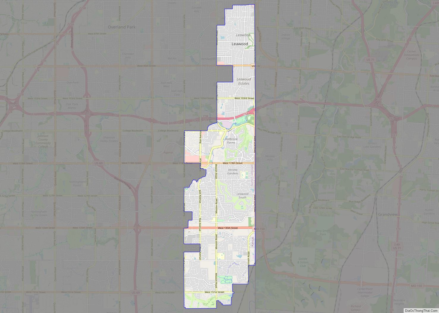
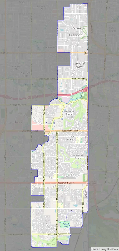
Leawood Road Map
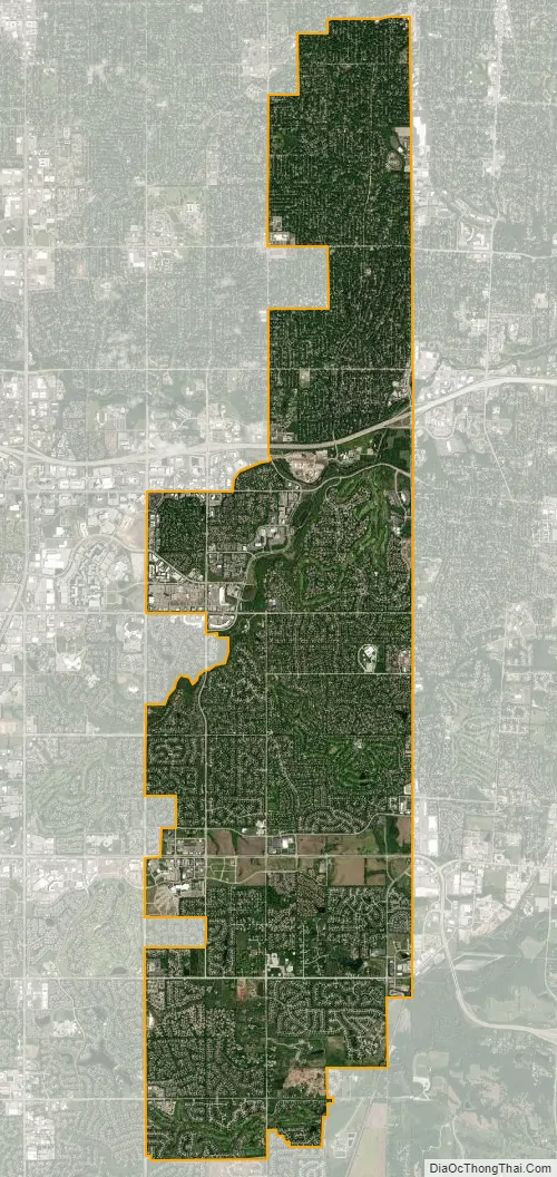
Leawood city Satellite Map
Geography
According to the United States Census Bureau, the city has a total area of 15.16 square miles (39.26 km), of which, 15.06 square miles (39.01 km) of it is land and 0.10 square miles (0.26 km) is water.
The city is bordered on three sides by the cities of Overland Park and Prairie Village, Kansas and on the fourth by Kansas City, Missouri. The city’s land area is approximately 75% developed and growth is expected to continue in the future.
See also
Map of Kansas State and its subdivision:- Allen
- Anderson
- Atchison
- Barber
- Barton
- Bourbon
- Brown
- Butler
- Chase
- Chautauqua
- Cherokee
- Cheyenne
- Clark
- Clay
- Cloud
- Coffey
- Comanche
- Cowley
- Crawford
- Decatur
- Dickinson
- Doniphan
- Douglas
- Edwards
- Elk
- Ellis
- Ellsworth
- Finney
- Ford
- Franklin
- Geary
- Gove
- Graham
- Grant
- Gray
- Greeley
- Greenwood
- Hamilton
- Harper
- Harvey
- Haskell
- Hodgeman
- Jackson
- Jefferson
- Jewell
- Johnson
- Kearny
- Kingman
- Kiowa
- Labette
- Lane
- Leavenworth
- Lincoln
- Linn
- Logan
- Lyon
- Marion
- Marshall
- McPherson
- Meade
- Miami
- Mitchell
- Montgomery
- Morris
- Morton
- Nemaha
- Neosho
- Ness
- Norton
- Osage
- Osborne
- Ottawa
- Pawnee
- Phillips
- Pottawatomie
- Pratt
- Rawlins
- Reno
- Republic
- Rice
- Riley
- Rooks
- Rush
- Russell
- Saline
- Scott
- Sedgwick
- Seward
- Shawnee
- Sheridan
- Sherman
- Smith
- Stafford
- Stanton
- Stevens
- Sumner
- Thomas
- Trego
- Wabaunsee
- Wallace
- Washington
- Wichita
- Wilson
- Woodson
- Wyandotte
- Alabama
- Alaska
- Arizona
- Arkansas
- California
- Colorado
- Connecticut
- Delaware
- District of Columbia
- Florida
- Georgia
- Hawaii
- Idaho
- Illinois
- Indiana
- Iowa
- Kansas
- Kentucky
- Louisiana
- Maine
- Maryland
- Massachusetts
- Michigan
- Minnesota
- Mississippi
- Missouri
- Montana
- Nebraska
- Nevada
- New Hampshire
- New Jersey
- New Mexico
- New York
- North Carolina
- North Dakota
- Ohio
- Oklahoma
- Oregon
- Pennsylvania
- Rhode Island
- South Carolina
- South Dakota
- Tennessee
- Texas
- Utah
- Vermont
- Virginia
- Washington
- West Virginia
- Wisconsin
- Wyoming