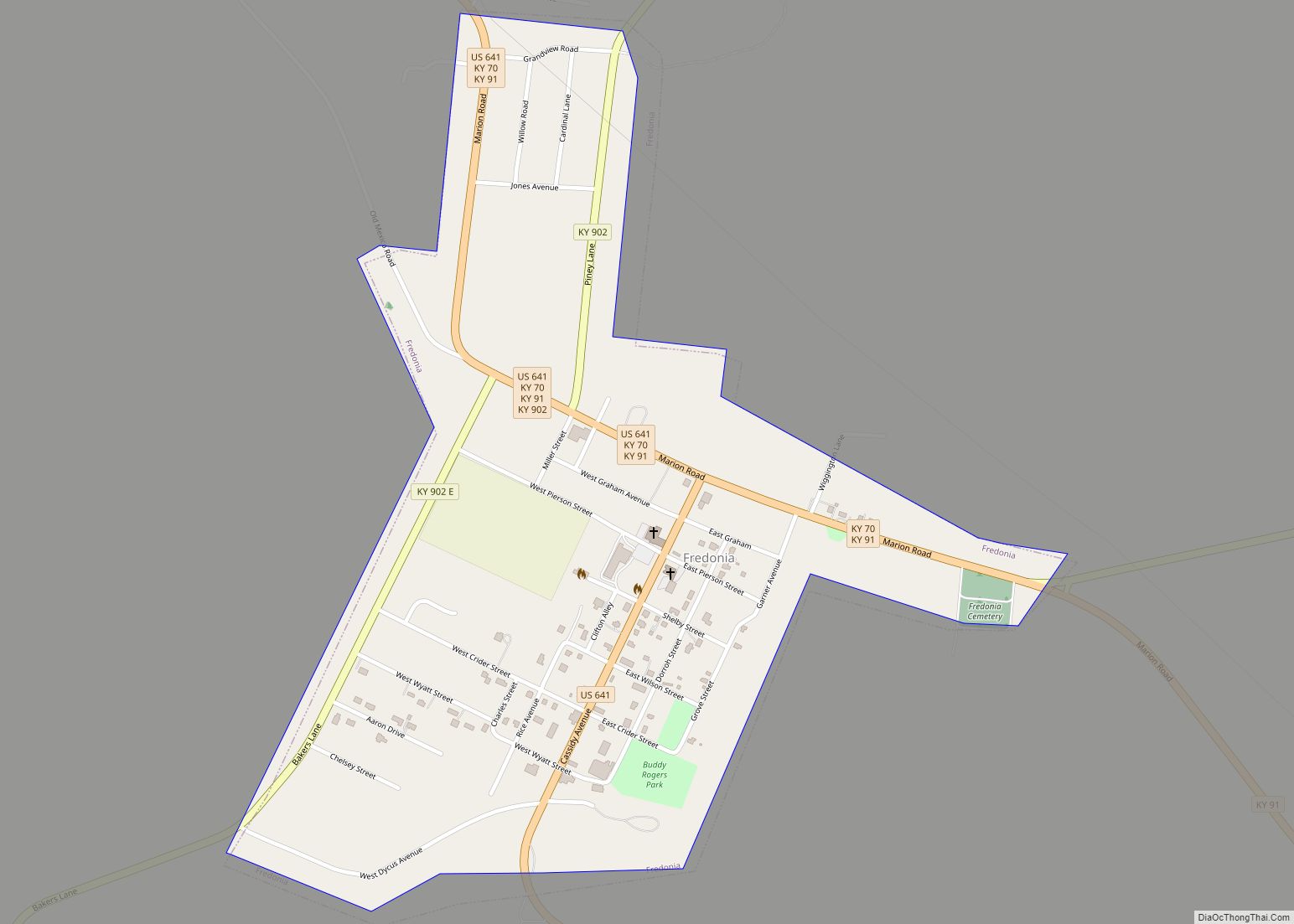
Fredonia (/frɪˈdoʊniə/) is a home rule-class city in Caldwell County, Kentucky, in the United States. The population was 401 at the 2010 census. Fredonia city overview: Name: Fredonia city LSAD Code: 25 LSAD Description: city (suffix) State: Kentucky County: Caldwell County Elevation: 427 ft (130 m) Total Area: 0.62 sq mi (1.61 km²) Land Area: 0.62 sq mi (1.61 km²) Water Area: 0.00 sq mi ... Read more
Kentucky Cities and Places
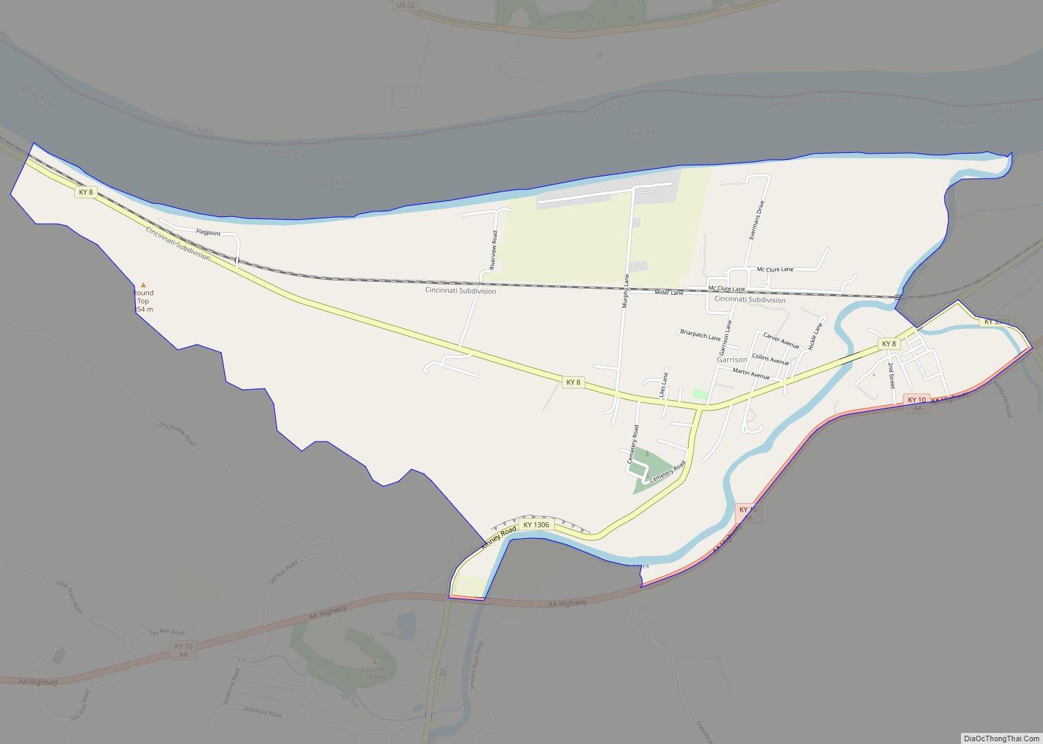
Garrison is an unincorporated community and census-designated place in Lewis County, Kentucky, United States. Its population was 866 as of the 2010 census. Garrison has a post office with ZIP code 41141, which opened on February 26, 1886. The community is located along the Ohio River and Kentucky Route 8. Garrison CDP overview: Name: Garrison ... Read more
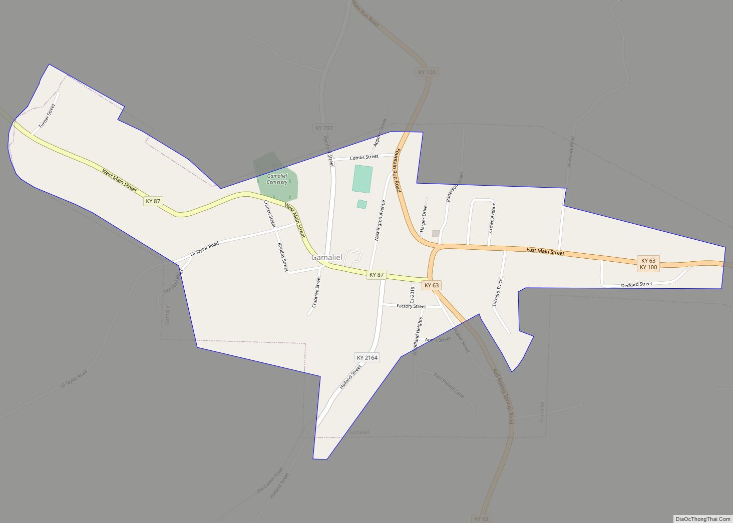
Gamaliel (/ɡəˈmeɪliəl/) is a home rule-class city in Monroe County, Kentucky, in the United States. The population was 391 at the 2020 census. Gamaliel city overview: Name: Gamaliel city LSAD Code: 25 LSAD Description: city (suffix) State: Kentucky County: Monroe County Elevation: 843 ft (257 m) Total Area: 0.57 sq mi (1.48 km²) Land Area: 0.57 sq mi (1.47 km²) Water Area: 0.00 sq mi ... Read more
Fulton is a home rule-class city in Fulton County, Kentucky, United States. The population was 2,357 at the 2020 census, down from 2,445 at the 2010 census. It was once known as the “Banana Capital of the World”, because 70% of imported bananas to the U.S. used to be shipped through the city. Fulton is ... Read more
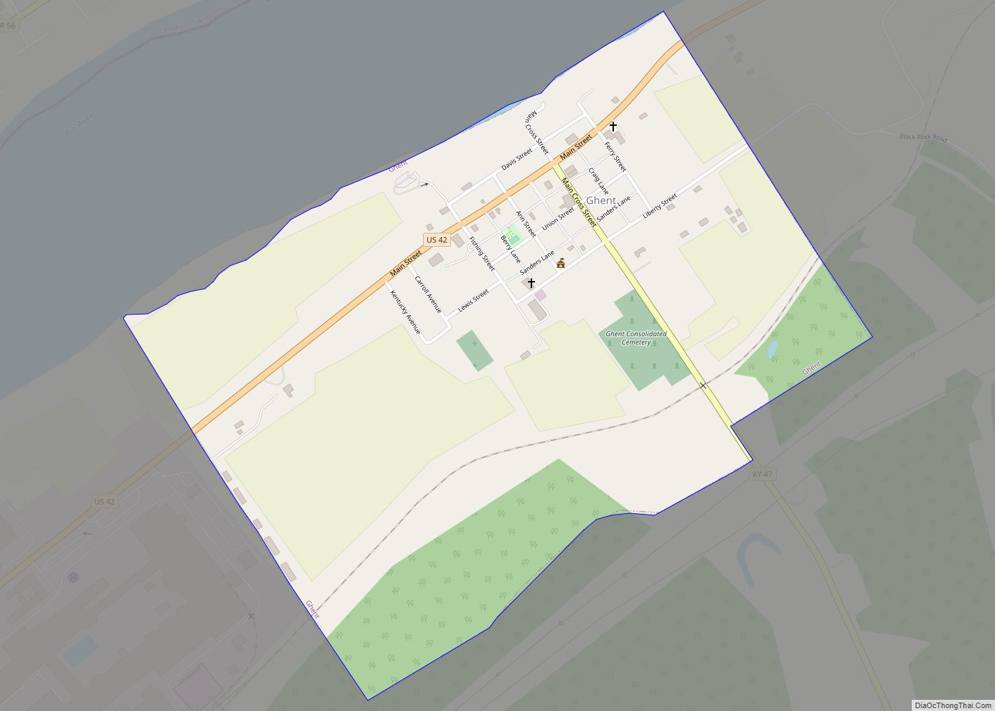
Ghent is a home rule-class city along the south bank of the Ohio River in Carroll County, Kentucky, in the United States. The population was 323 at the 2010 census. Ghent city overview: Name: Ghent city LSAD Code: 25 LSAD Description: city (suffix) State: Kentucky County: Carroll County Elevation: 486 ft (148 m) Total Area: 0.72 sq mi (1.86 km²) ... Read more
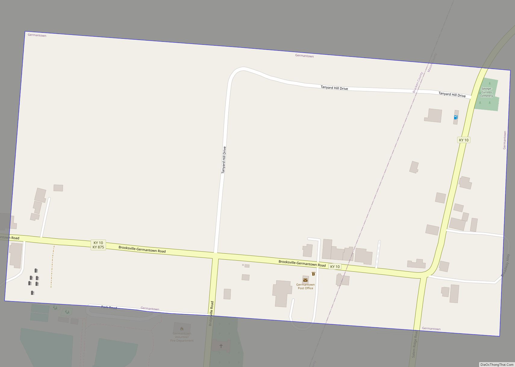
Germantown is a home rule-class city in Bracken and Mason counties in the U.S. state of Kentucky. The population was 146 at the 2020 census. The Bracken County portion of Germantown is part of the Cincinnati/Northern Kentucky metropolitan area, while the Mason County portion is part of the Maysville micropolitan area. Germantown city overview: Name: ... Read more
Georgetown is a home rule-class city in Scott County, Kentucky, United States. The population was 37,086 at the 2020 census. It is the 6th-largest city by population in the U.S. state of Kentucky. It is the seat of its county. It was originally called Lebanon when founded by Rev. Elijah Craig and was renamed in ... Read more
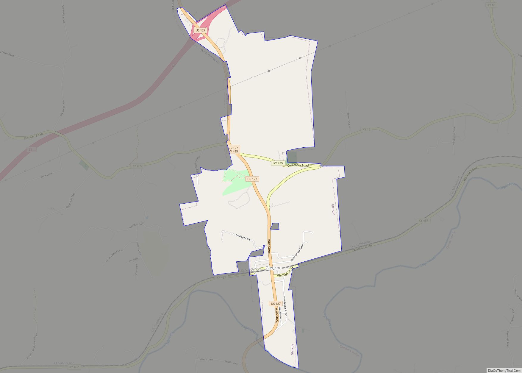
Glencoe is a home rule-class city in Gallatin County, Kentucky, in the United States. The population was 360 as of the 2010 census, up from 251 at the 2000 census. Glencoe city overview: Name: Glencoe city LSAD Code: 25 LSAD Description: city (suffix) State: Kentucky County: Gallatin County Elevation: 548 ft (167 m) Total Area: 1.78 sq mi (4.60 km²) ... Read more
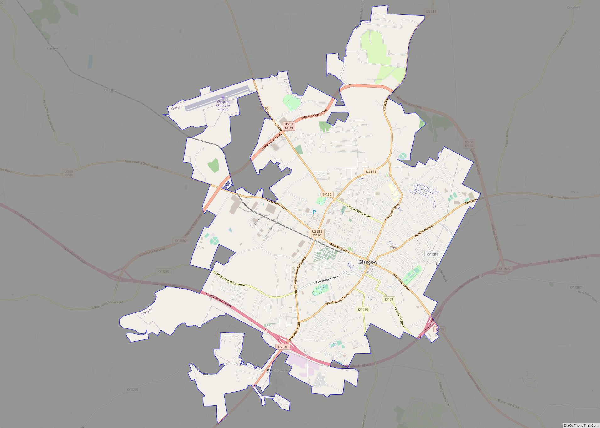
Glasgow is a home rule-class city in Barren County, Kentucky, United States. It is the seat of its county. Glasgow is the principal city of the Glasgow micropolitan area, which comprises Barren and Metcalfe counties. The population was 14,028 at the 2010 U.S. census. The city is well known for its annual Scottish Highland Games. ... Read more
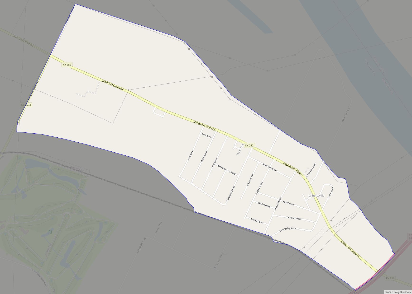
Gilbertsville is a census-designated place and unincorporated community in Marshall County, Kentucky, United States. It is the closest village to the Kentucky Dam. The town was relocated to its present site when Kentucky Dam and Kentucky Dam Village State Resort Park replaced the former site. As of the 2020 census, the population of Gilbertsville was ... Read more
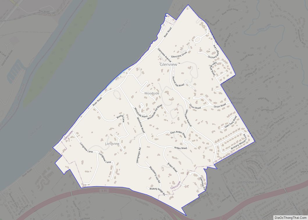
Glenview is a 6th-class city along the southern bank of the Ohio River in northeastern Jefferson County, Kentucky, United States The population was 531 at the 2010 census. Glenview has the 2nd-highest per capita income within Kentucky and the 74th-highest in the United States. The city is known for its old estate homes on high ... Read more
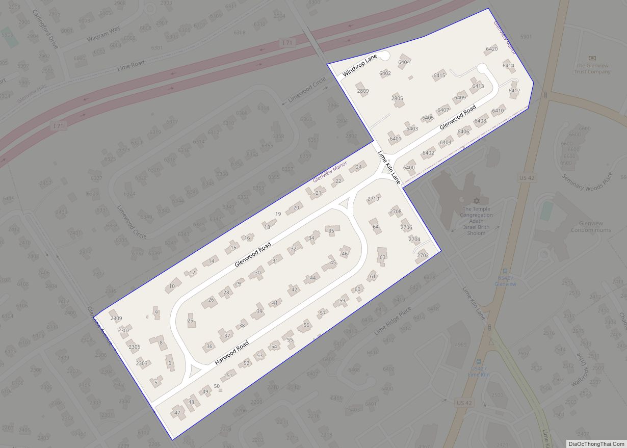
Glenview Manor is a home rule-class city in Jefferson County, Kentucky, United States. The population was 191 at the 2010 census. Glenview Manor was named for the nearby community of Glenview, although Glenview Manor was formally incorporated in 1965, two decades before the original town received similar recognition. Glenview Manor city overview: Name: Glenview Manor ... Read more
