Fulton is a home rule-class city in Fulton County, Kentucky, United States. The population was 2,357 at the 2020 census, down from 2,445 at the 2010 census. It was once known as the “Banana Capital of the World”, because 70% of imported bananas to the U.S. used to be shipped through the city. Fulton is part of the Union City–Hickman, TN–KY Micropolitan Statistical Area.
| Name: | Fulton city |
|---|---|
| LSAD Code: | 25 |
| LSAD Description: | city (suffix) |
| State: | Kentucky |
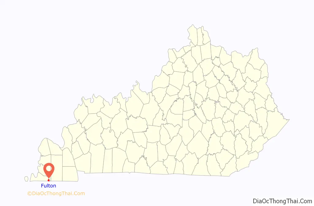
| County: | Fulton County |
| Elevation: | 361 ft (110 m) |
| Total Area: | 2.98 sq mi (7.72 km²) |
| Land Area: | 2.89 sq mi (7.49 km²) |
| Water Area: | 0.09 sq mi (0.23 km²) |
| Total Population: | 2,357 |
| Population Density: | 814.73/sq mi (314.62/km²) |
| ZIP code: | 42041 |
| Area code: | 270 & 364 |
| FIPS code: | 2129566 |
| GNISfeature ID: | 0492615 |
| Website: | fulton-ky.com |
Online Interactive Map
Click on ![]() to view map in "full screen" mode.
to view map in "full screen" mode.
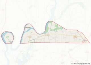
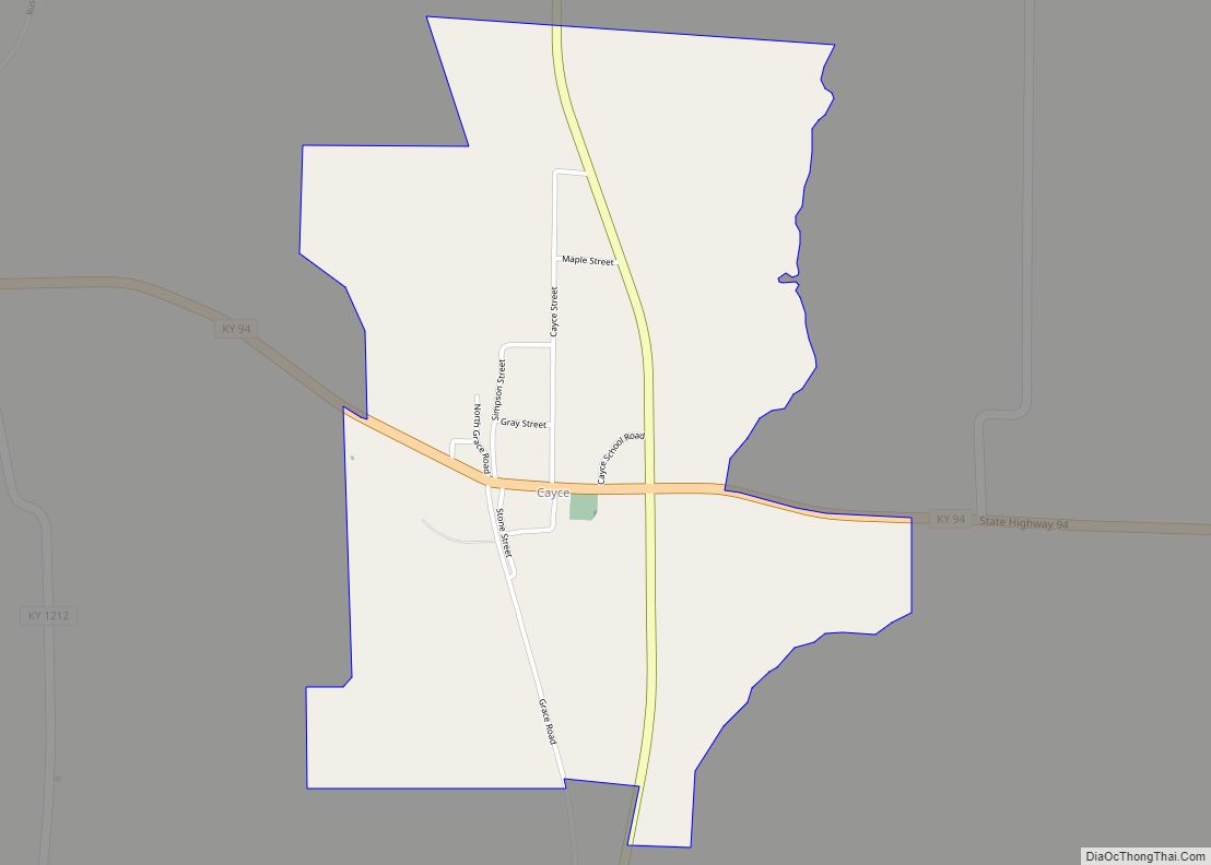
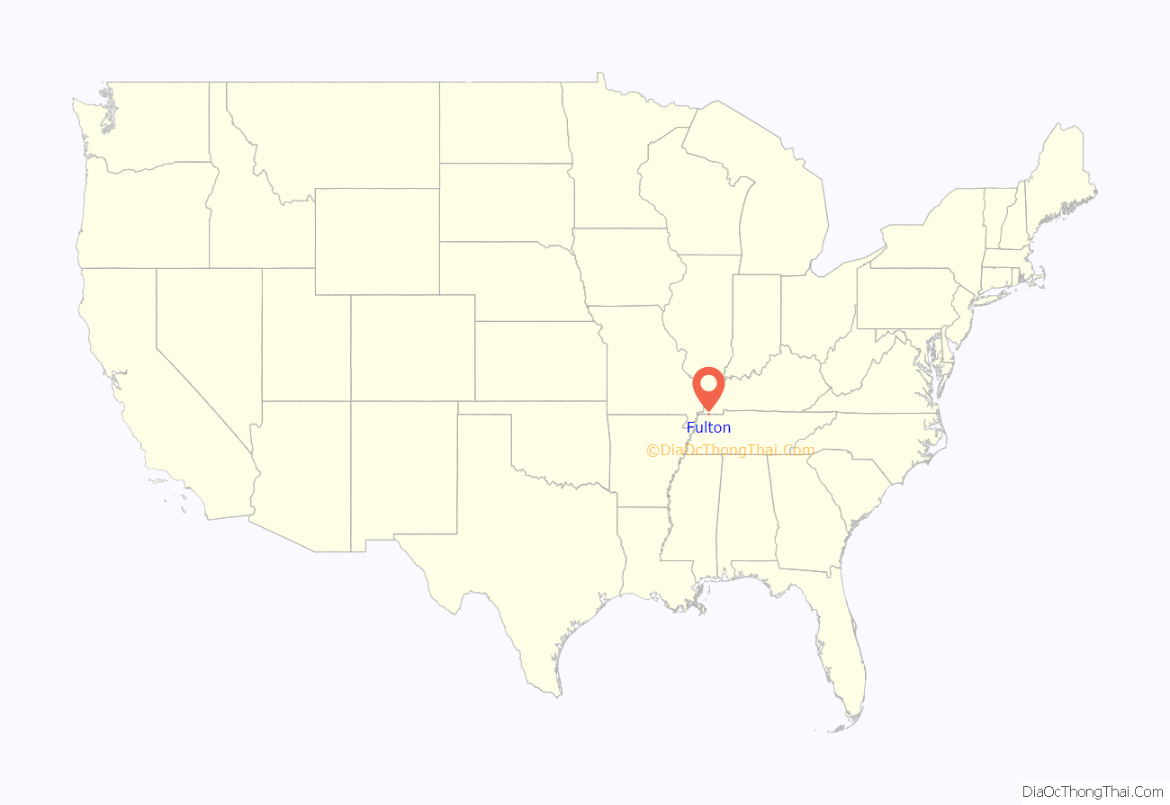
Fulton location map. Where is Fulton city?
History
A post office was established in the community, then known as “Pontotoc”, in 1847. The post office was renamed “Fulton” in 1861. It was formally incorporated by the state assembly in 1872. Fulton Station was located on the Paducah and Gulf Railroad, which stimulated growth in the county.
In the late 19th century, Ben M. Bogard, later the founder of the American Baptist Association in Texarkana, Texas, and long-time pastor of Antioch Missionary Baptist Church in Little Rock, Arkansas, served as a pastor in Fulton, where he was part of the Landmark Baptist movement. In the first decade of the 20th century, the Southern Baptist clergyman Monroe E. Dodd began his long ministry at a church in Fulton. For many years afterward, he was the pastor of First Baptist Church of Shreveport, Louisiana.
Banana Capital of the World
The United Fruit Co., now Chiquita, began shipping bananas from South America by steamship to New Orleans. The bananas were loaded onto railcars on top of 162-pound (73 kg) blocks of ice for the trip north. Fulton had the only ice house on the route north to Chicago. The bananas were re-iced with blocks from the Fulton Ice Plant, now closed. Empty railcars were pulled up to the side of the ice house, and the large blocks of ice were loaded end up, covering the entire box car. The bananas were laid on top of the ice to continue their journey. At one point, more than 70% of the bananas that were consumed in the US passed through Fulton.
From 1962 through 1992, Fulton held the annual International Banana Festival. The largest banana pudding in the world at 2,000 pounds (910 kg) was part of the banana parade. Since the early 21st century, the festival has been revived, including a contest for the largest banana pudding.
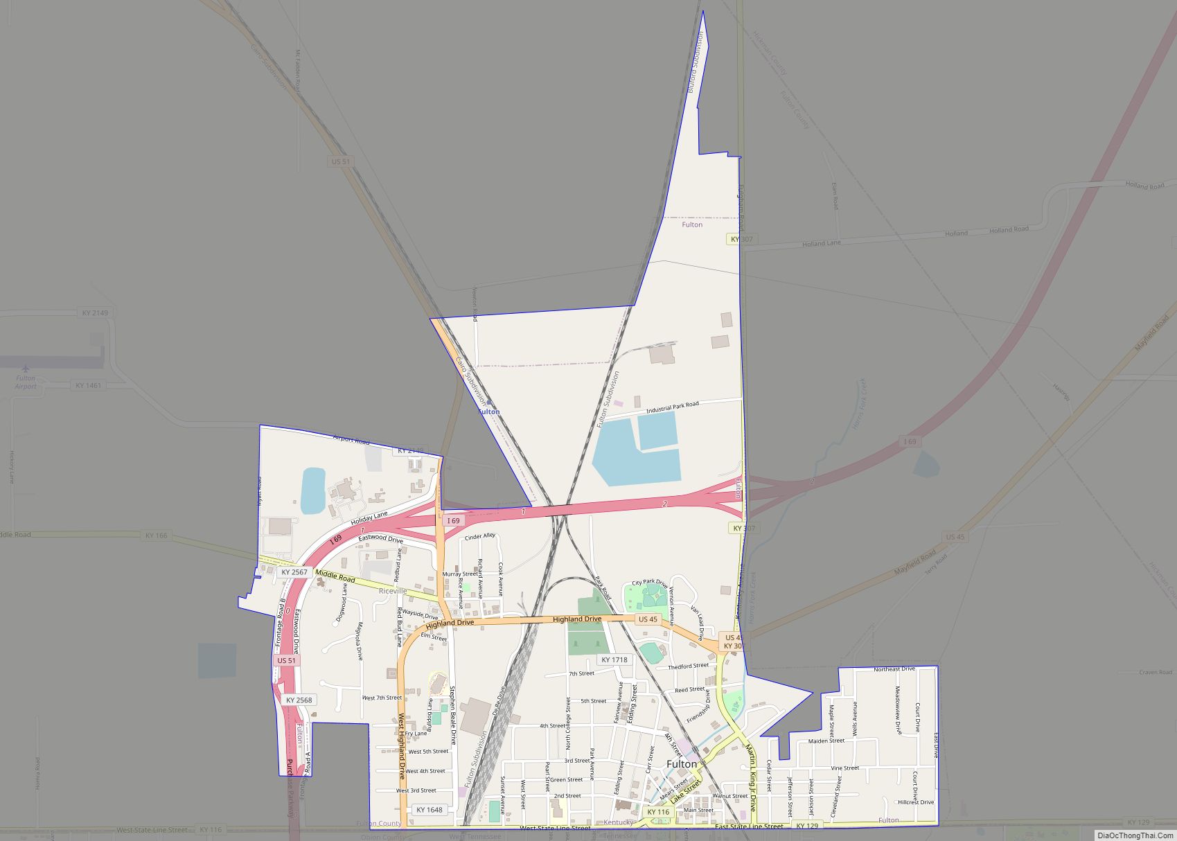
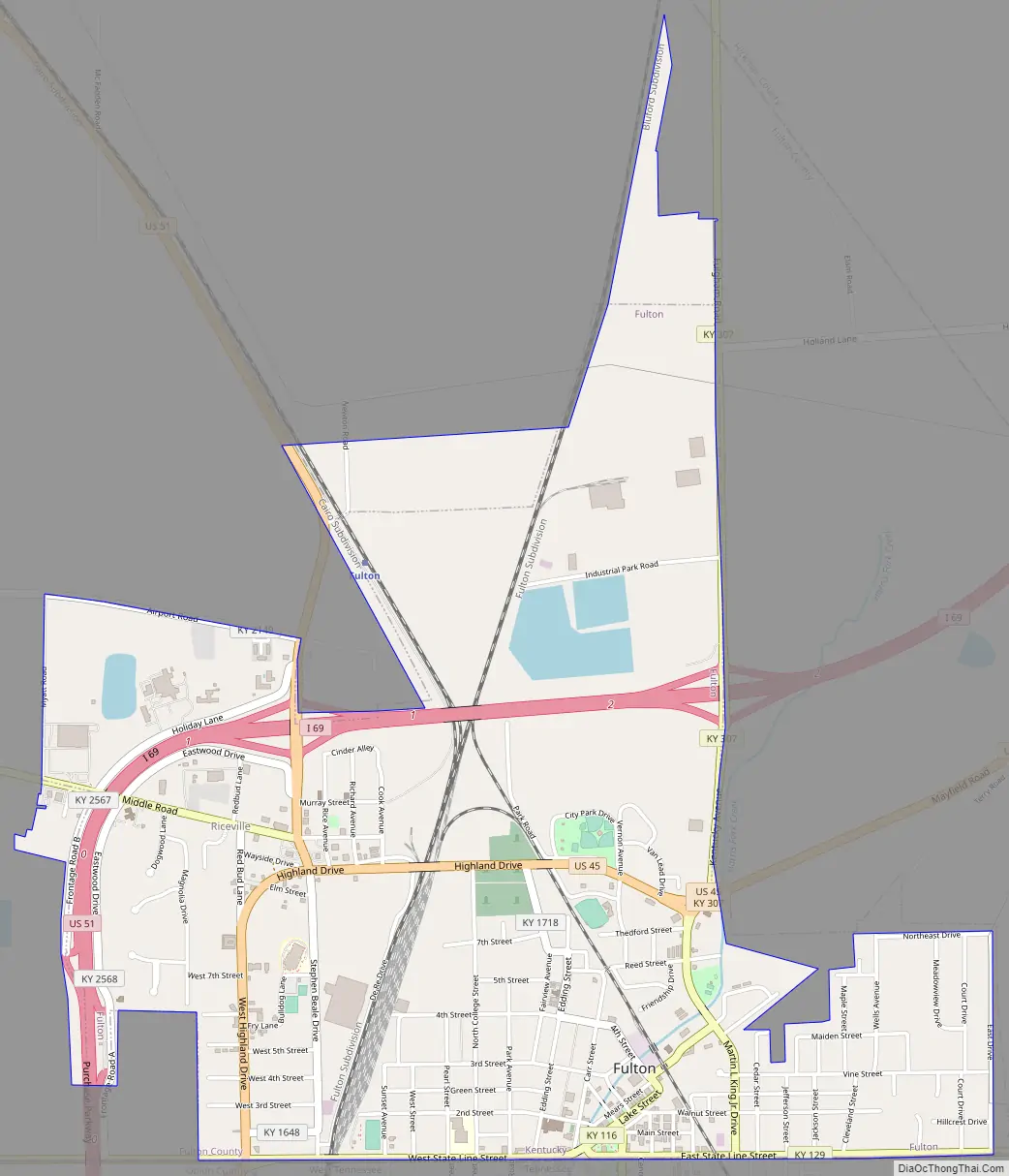
Fulton Road Map
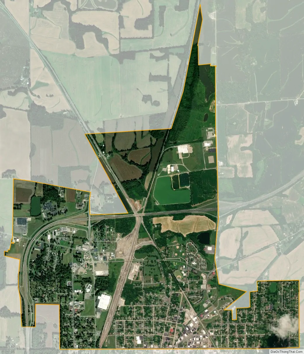
Fulton city Satellite Map
Geography
Fulton is located in the southeast corner of Fulton County at 36°30′33″N 88°52′44″W / 36.50917°N 88.87889°W / 36.50917; -88.87889 (36.509156, -88.878768). Its southern border is the state line, across which is the city of South Fulton, Tennessee. According to the United States Census Bureau, Fulton has a total area of 2.9 square miles (7.6 km), of which 2.9 square miles (7.4 km) is land and 0.1 square miles (0.2 km), or 2.95%, is water.
See also
Map of Kentucky State and its subdivision:- Adair
- Allen
- Anderson
- Ballard
- Barren
- Bath
- Bell
- Boone
- Bourbon
- Boyd
- Boyle
- Bracken
- Breathitt
- Breckinridge
- Bullitt
- Butler
- Caldwell
- Calloway
- Campbell
- Carlisle
- Carroll
- Carter
- Casey
- Christian
- Clark
- Clay
- Clinton
- Crittenden
- Cumberland
- Daviess
- Edmonson
- Elliott
- Estill
- Fayette
- Fleming
- Floyd
- Franklin
- Fulton
- Gallatin
- Garrard
- Grant
- Graves
- Grayson
- Green
- Greenup
- Hancock
- Hardin
- Harlan
- Harrison
- Hart
- Henderson
- Henry
- Hickman
- Hopkins
- Jackson
- Jefferson
- Jessamine
- Johnson
- Kenton
- Knott
- Knox
- Larue
- Laurel
- Lawrence
- Lee
- Leslie
- Letcher
- Lewis
- Lincoln
- Livingston
- Logan
- Lyon
- Madison
- Magoffin
- Marion
- Marshall
- Martin
- Mason
- McCracken
- McCreary
- McLean
- Meade
- Menifee
- Mercer
- Metcalfe
- Monroe
- Montgomery
- Morgan
- Muhlenberg
- Nelson
- Nicholas
- Ohio
- Oldham
- Owen
- Owsley
- Pendleton
- Perry
- Pike
- Powell
- Pulaski
- Robertson
- Rockcastle
- Rowan
- Russell
- Scott
- Shelby
- Simpson
- Spencer
- Taylor
- Todd
- Trigg
- Trimble
- Union
- Warren
- Washington
- Wayne
- Webster
- Whitley
- Wolfe
- Woodford
- Alabama
- Alaska
- Arizona
- Arkansas
- California
- Colorado
- Connecticut
- Delaware
- District of Columbia
- Florida
- Georgia
- Hawaii
- Idaho
- Illinois
- Indiana
- Iowa
- Kansas
- Kentucky
- Louisiana
- Maine
- Maryland
- Massachusetts
- Michigan
- Minnesota
- Mississippi
- Missouri
- Montana
- Nebraska
- Nevada
- New Hampshire
- New Jersey
- New Mexico
- New York
- North Carolina
- North Dakota
- Ohio
- Oklahoma
- Oregon
- Pennsylvania
- Rhode Island
- South Carolina
- South Dakota
- Tennessee
- Texas
- Utah
- Vermont
- Virginia
- Washington
- West Virginia
- Wisconsin
- Wyoming