Gamaliel (/ɡəˈmeɪliəl/) is a home rule-class city in Monroe County, Kentucky, in the United States. The population was 391 at the 2020 census.
| Name: | Gamaliel city |
|---|---|
| LSAD Code: | 25 |
| LSAD Description: | city (suffix) |
| State: | Kentucky |
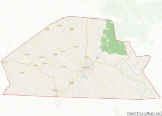
| County: | Monroe County |
| Elevation: | 843 ft (257 m) |
| Total Area: | 0.57 sq mi (1.48 km²) |
| Land Area: | 0.57 sq mi (1.47 km²) |
| Water Area: | 0.00 sq mi (0.01 km²) |
| Total Population: | 391 |
| Population Density: | 690.81/sq mi (266.54/km²) |
| ZIP code: | 42140 |
| Area code: | 270 |
| FIPS code: | 2129872 |
| GNISfeature ID: | 0492661 |
Online Interactive Map
Click on ![]() to view map in "full screen" mode.
to view map in "full screen" mode.
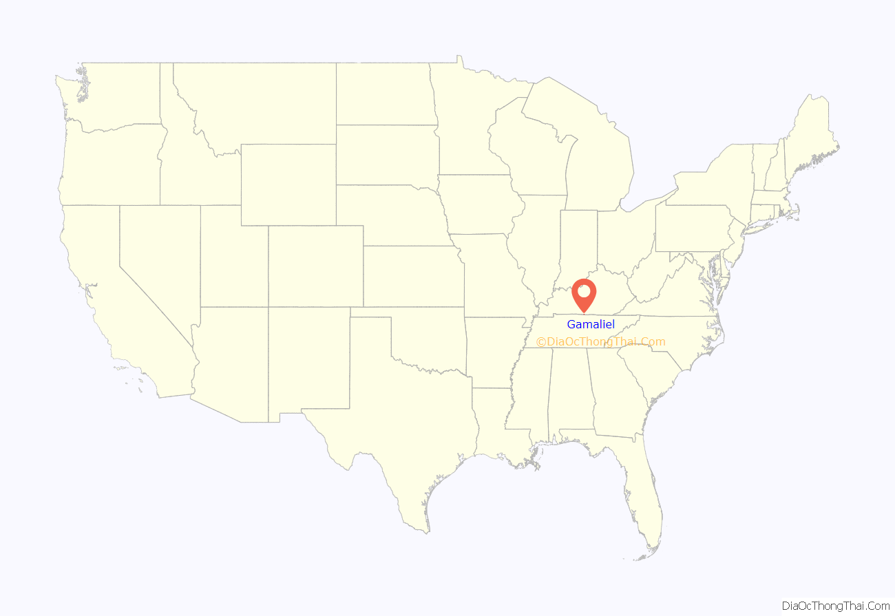
Gamaliel location map. Where is Gamaliel city?

History
Around 1836, James Crawford and John Hayes saw that a town was springing up and donated 10 acres (4.0 ha) of land, at a point where their farms met, to be used for educational and religious purposes. On this property, a building was erected and used for school and church and, in 1844, a cemetery was added. In making the grant, the two men stipulated that seven trustees should be appointed to administer the property along the lines provided by the donors. The original trustees were William Crawford, Maston Comer, John Hayes, Robert Welch, James Crawford Jr., Charles Browning Jr., and John Meador. This act of incorporation was passed by the General Assembly of the Commonwealth of Kentucky on December 19, 1840.
Samuel DeWitt, a local preacher and teacher, said “Gamaliel” was a good biblical name for a good village. (In the Book of Acts, the Pharisee appears speaking in favor of recently arrested Christians.) The town took the name that he suggested. A post office was established in the community in 1870.
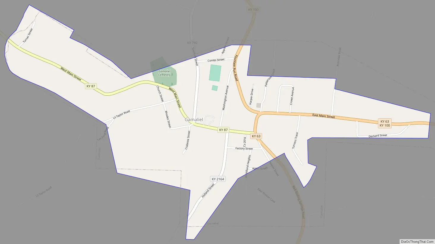
Gamaliel Road Map
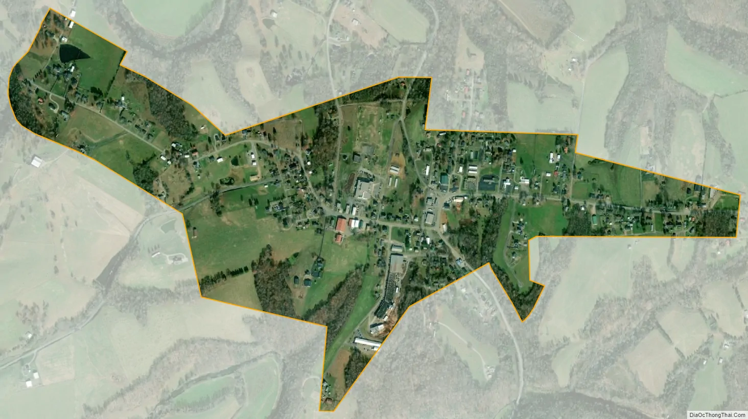
Gamaliel city Satellite Map
Geography
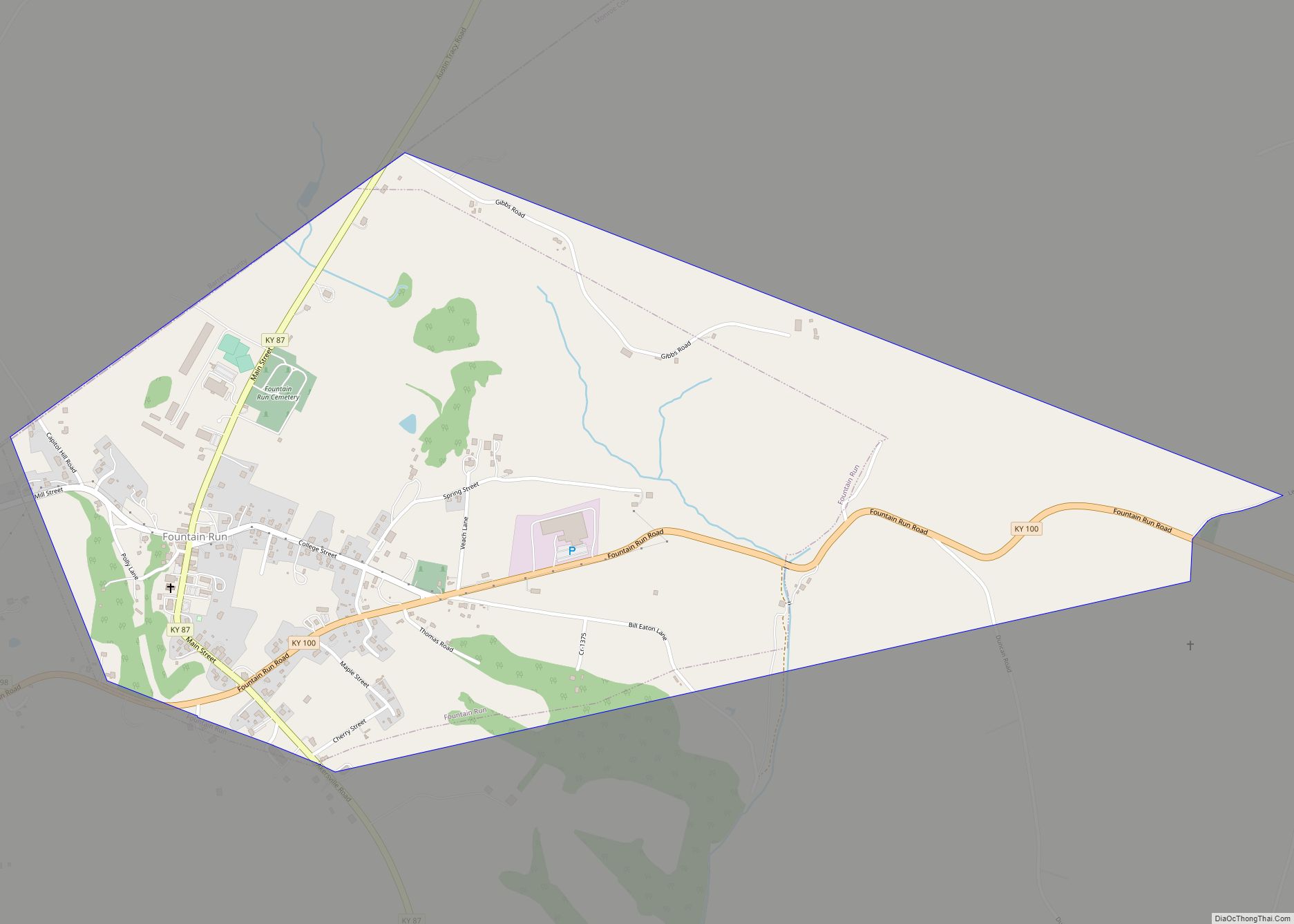
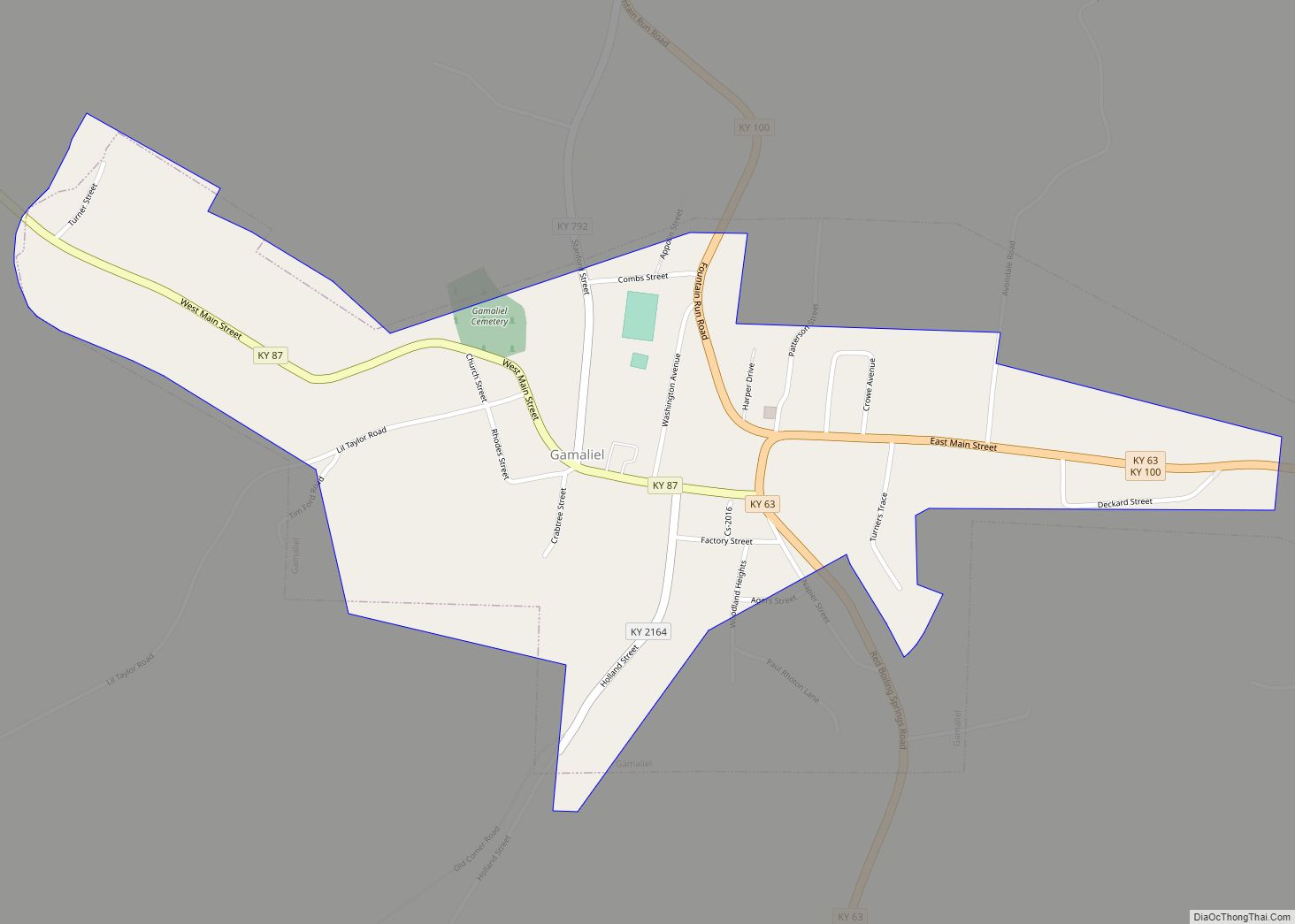
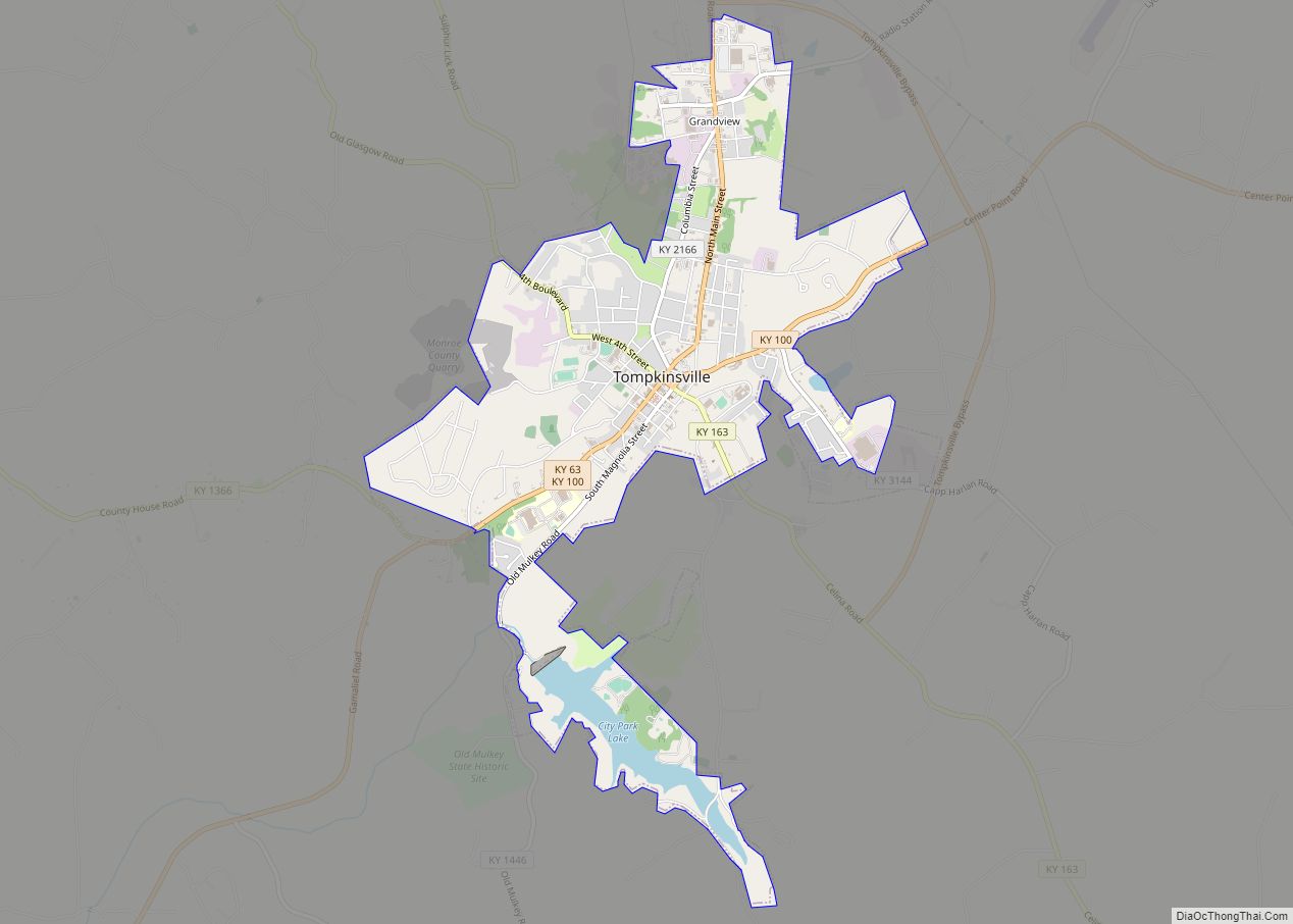
Gamaliel is located in southern Monroe County at 36°38′24″N 85°47′36″W / 36.64000°N 85.79333°W / 36.64000; -85.79333 (36.639956, -85.793372). It is 1 mile (1.6 km) north of the Tennessee border. Kentucky Route 100 passes through the center of town, leading northeast 8 miles (13 km) to Tompkinsville, the county seat, and northwest 13 miles (21 km) to Fountain Run. Kentucky Route 63 leaves town to the northeast with KY 100 but leads south from town to the state line, where it becomes Tennessee State Route 56, which continues to Red Boiling Springs, 9 miles (14 km) south of Gamaliel. Kentucky Route 87 leads southwest 6 miles (10 km) from Gamaliel to Bugtussle at the state line, then 13 miles (21 km) farther as Tennessee State Route 261 to Lafayette, Tennessee.
According to the United States Census Bureau, Gamaliel has a total area of 0.81 square miles (2.1 km), of which 0.004 square miles (0.010 km), or 0.49%, are water. The city sits on a hill between the East Fork of the Barren River to the north and its tributary Line Creek to the south. The Barren River is part of the Green River watershed leading to the Ohio River.
See also
Map of Kentucky State and its subdivision:- Adair
- Allen
- Anderson
- Ballard
- Barren
- Bath
- Bell
- Boone
- Bourbon
- Boyd
- Boyle
- Bracken
- Breathitt
- Breckinridge
- Bullitt
- Butler
- Caldwell
- Calloway
- Campbell
- Carlisle
- Carroll
- Carter
- Casey
- Christian
- Clark
- Clay
- Clinton
- Crittenden
- Cumberland
- Daviess
- Edmonson
- Elliott
- Estill
- Fayette
- Fleming
- Floyd
- Franklin
- Fulton
- Gallatin
- Garrard
- Grant
- Graves
- Grayson
- Green
- Greenup
- Hancock
- Hardin
- Harlan
- Harrison
- Hart
- Henderson
- Henry
- Hickman
- Hopkins
- Jackson
- Jefferson
- Jessamine
- Johnson
- Kenton
- Knott
- Knox
- Larue
- Laurel
- Lawrence
- Lee
- Leslie
- Letcher
- Lewis
- Lincoln
- Livingston
- Logan
- Lyon
- Madison
- Magoffin
- Marion
- Marshall
- Martin
- Mason
- McCracken
- McCreary
- McLean
- Meade
- Menifee
- Mercer
- Metcalfe
- Monroe
- Montgomery
- Morgan
- Muhlenberg
- Nelson
- Nicholas
- Ohio
- Oldham
- Owen
- Owsley
- Pendleton
- Perry
- Pike
- Powell
- Pulaski
- Robertson
- Rockcastle
- Rowan
- Russell
- Scott
- Shelby
- Simpson
- Spencer
- Taylor
- Todd
- Trigg
- Trimble
- Union
- Warren
- Washington
- Wayne
- Webster
- Whitley
- Wolfe
- Woodford
- Alabama
- Alaska
- Arizona
- Arkansas
- California
- Colorado
- Connecticut
- Delaware
- District of Columbia
- Florida
- Georgia
- Hawaii
- Idaho
- Illinois
- Indiana
- Iowa
- Kansas
- Kentucky
- Louisiana
- Maine
- Maryland
- Massachusetts
- Michigan
- Minnesota
- Mississippi
- Missouri
- Montana
- Nebraska
- Nevada
- New Hampshire
- New Jersey
- New Mexico
- New York
- North Carolina
- North Dakota
- Ohio
- Oklahoma
- Oregon
- Pennsylvania
- Rhode Island
- South Carolina
- South Dakota
- Tennessee
- Texas
- Utah
- Vermont
- Virginia
- Washington
- West Virginia
- Wisconsin
- Wyoming