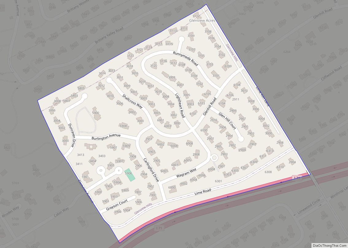
Glenview Hills is a home rule-class city in Jefferson County, Kentucky, United States. The population was 319 at the 2010 census. Glenview Hills was named for the nearby community of Glenview, although Glenview Hills was formally incorporated in 1972, more than a decade before the original town received similar recognition. Glenview Hills city overview: Name: ... Read more
Kentucky Cities and Places
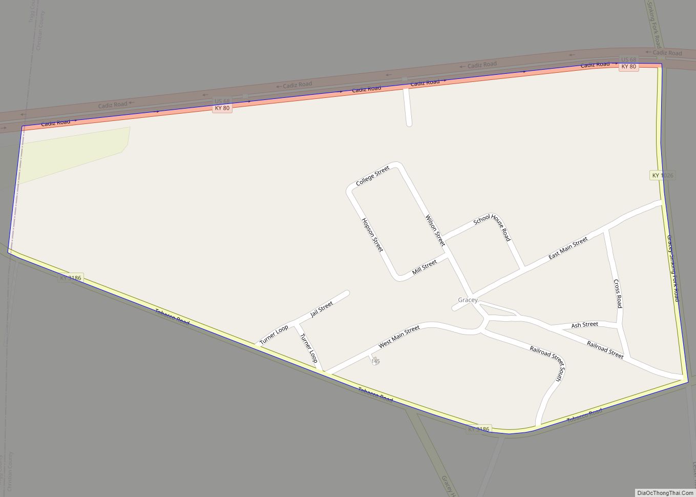
Gracey is an unincorporated community and census-designated place in Christian County, Kentucky, United States. As of the 2010 census it had a population of 138. Gracey CDP overview: Name: Gracey CDP LSAD Code: 57 LSAD Description: CDP (suffix) State: Kentucky County: Christian County Elevation: 509 ft (155 m) Total Area: 0.24 sq mi (0.62 km²) Land Area: 0.24 sq mi (0.62 km²) Water ... Read more
Goshen is a home rule-class city in Oldham County, Kentucky, in the United States. The population was 909 at the 2010 census. Goshen city overview: Name: Goshen city LSAD Code: 25 LSAD Description: city (suffix) State: Kentucky County: Oldham County Elevation: 679 ft (207 m) Total Area: 0.20 sq mi (0.52 km²) Land Area: 0.20 sq mi (0.51 km²) Water Area: 0.00 sq mi (0.01 km²) ... Read more
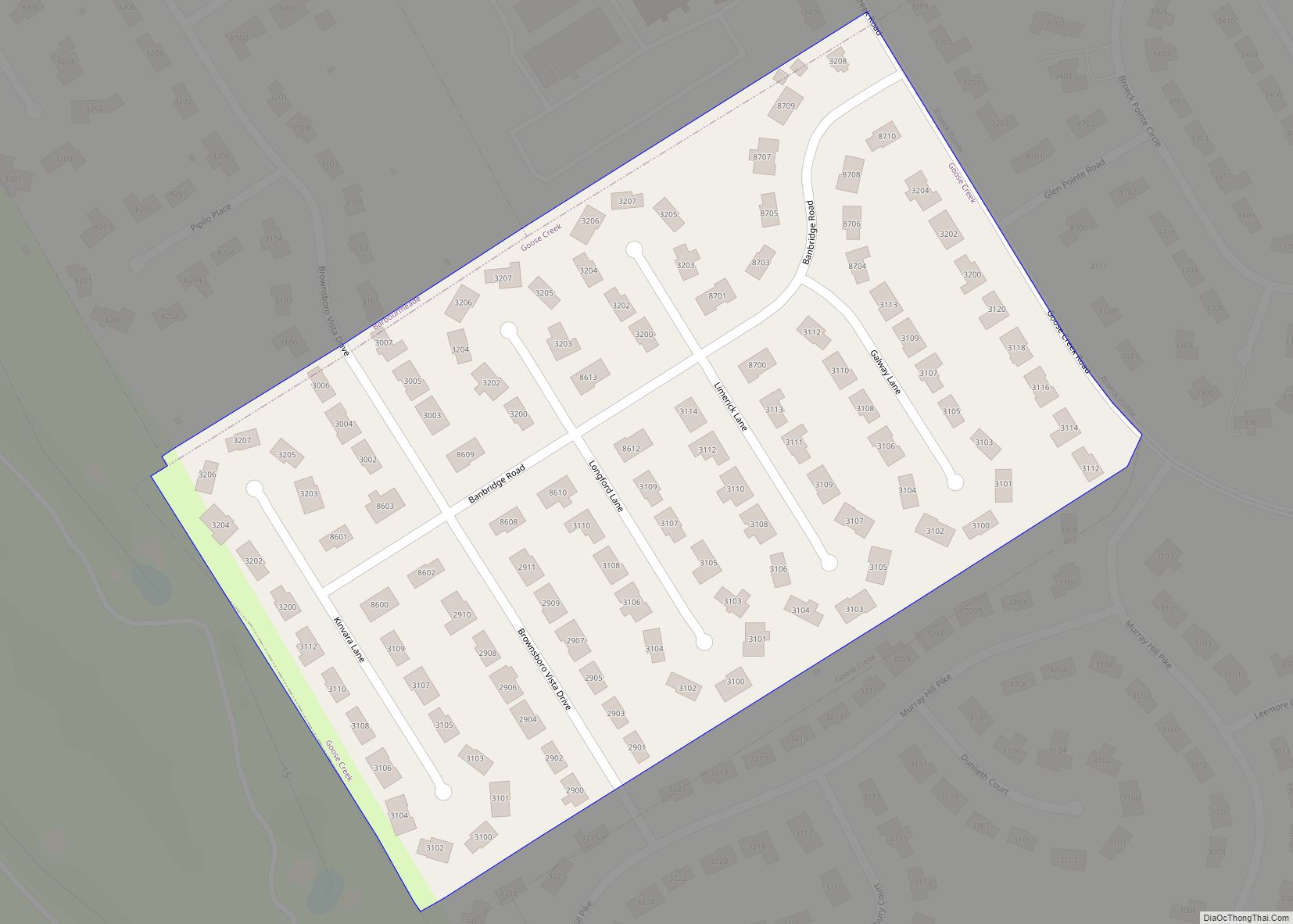
Goose Creek is a home rule-class city in Jefferson County, Kentucky, United States. The population was 294 at the 2010 census. Goose Creek city overview: Name: Goose Creek city LSAD Code: 25 LSAD Description: city (suffix) State: Kentucky County: Jefferson County Elevation: 423 ft (129 m) Total Area: 0.06 sq mi (0.16 km²) Land Area: 0.06 sq mi (0.16 km²) Water Area: 0.00 sq mi ... Read more
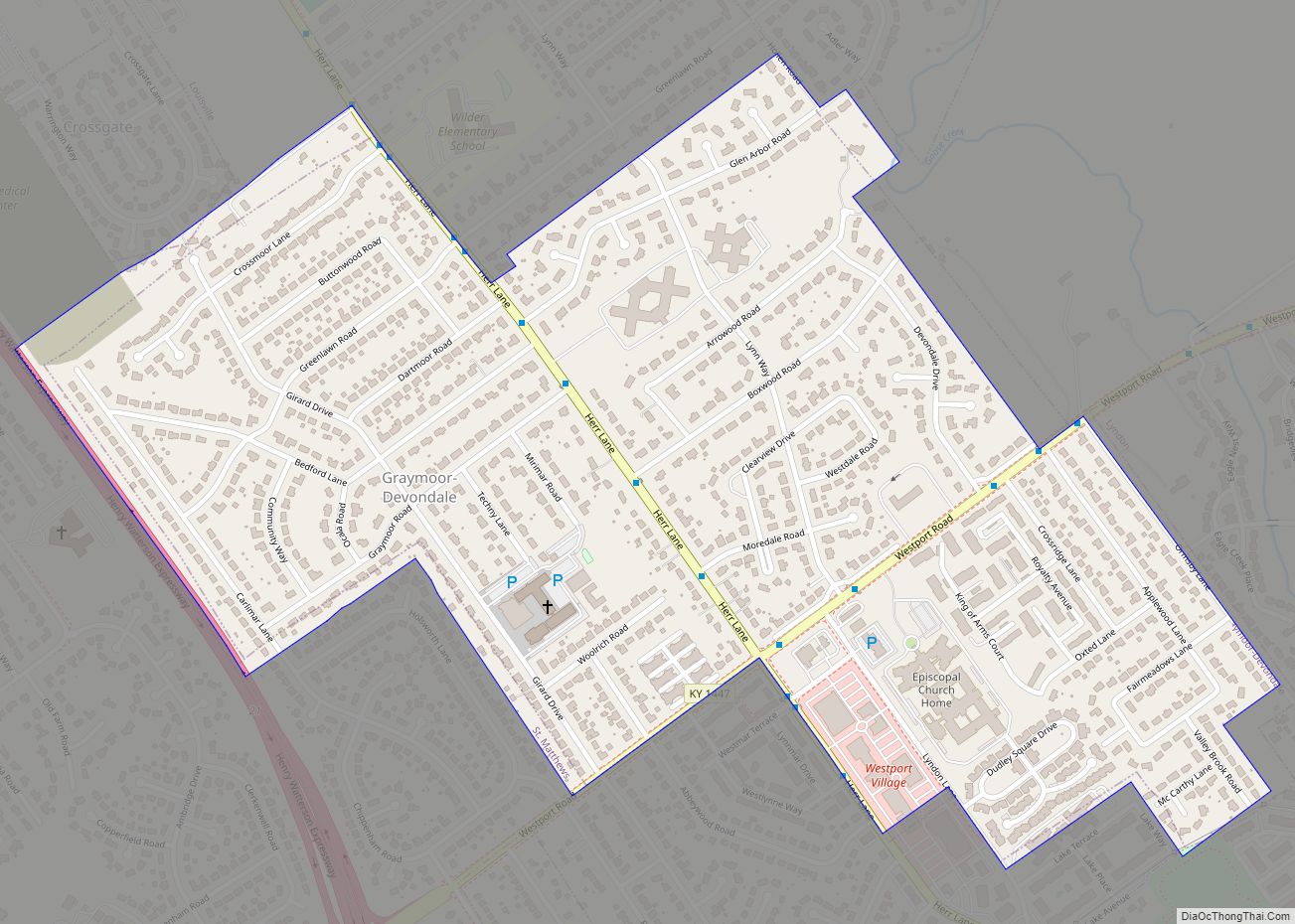
Graymoor-Devondale is a home rule-class city in Jefferson County, Kentucky, United States. The city is the result of the merger of the former cities of Graymoor and Devondale. The population was 2,870 at the 2010 census. Graymoor-Devondale city overview: Name: Graymoor-Devondale city LSAD Code: 25 LSAD Description: city (suffix) State: Kentucky County: Jefferson County Elevation: ... Read more
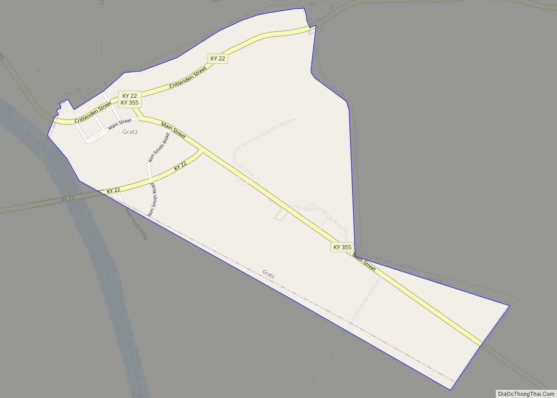
Gratz is a home rule-class city in Owen County, Kentucky, in the United States. The population was 89 at the 2000 census. The population in 2010 was 78. Gratz city overview: Name: Gratz city LSAD Code: 25 LSAD Description: city (suffix) State: Kentucky County: Owen County Elevation: 449 ft (137 m) Total Area: 0.35 sq mi (0.91 km²) Land Area: ... Read more
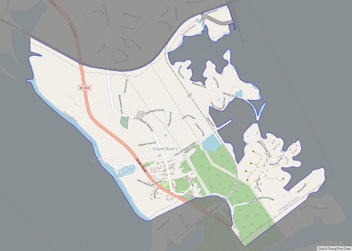
Grand Rivers is a home rule-class city in Livingston County, Kentucky, in the United States. The population was 382 at the 2010 census, up from 343 in 2000. It is part of the Paducah micropolitan area. Grand Rivers city overview: Name: Grand Rivers city LSAD Code: 25 LSAD Description: city (suffix) State: Kentucky County: Livingston ... Read more
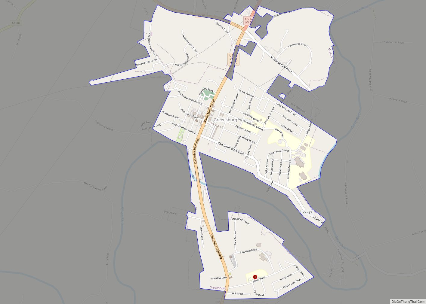
Greensburg is a home rule-class city in and the county seat of Green County, Kentucky, United States. The population was 2,163 at the 2010 census, down from 2,396 at the 2000 census. The Downtown Greensburg Historic District is on the National Register of Historic Places and includes the oldest courthouse west of the Allegheny Mountains. ... Read more
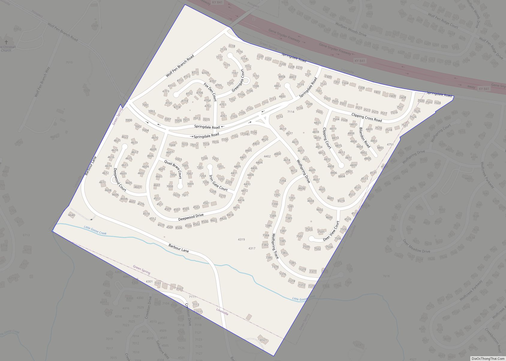
Green Spring is a home rule-class city in Jefferson County, Kentucky, United States. The population was 715 at the 2010 census. It was formally incorporated by the state assembly in 1974. Green Spring city overview: Name: Green Spring city LSAD Code: 25 LSAD Description: city (suffix) State: Kentucky County: Jefferson County Elevation: 617 ft (188 m) Total ... Read more
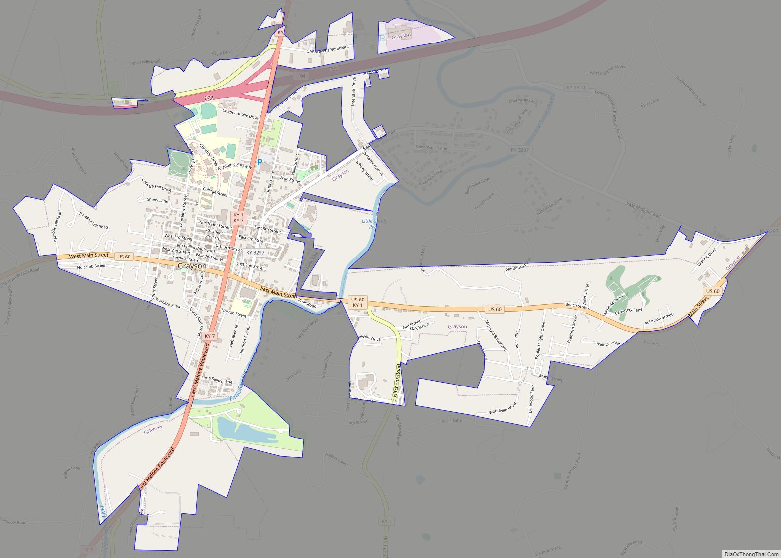
Grayson is a home rule-class city in and the county seat of Carter County, Kentucky, United States, on US Route 60 and Interstate 64 in the state’s northeastern region. It is approximately 21 miles west of Ashland. Within the city limits, the population was 4,217 at the 2010 census. Along with Carter County, the city ... Read more
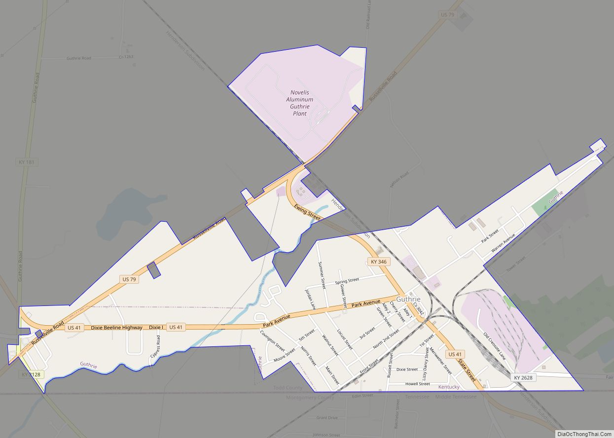
Guthrie is a home rule-class city in Todd County, Kentucky, in the United States. The population was 1,419 at the 2010 census. Guthrie city overview: Name: Guthrie city LSAD Code: 25 LSAD Description: city (suffix) State: Kentucky County: Todd County Elevation: 548 ft (167 m) Total Area: 2.03 sq mi (5.25 km²) Land Area: 2.02 sq mi (5.24 km²) Water Area: 0.01 sq mi (0.02 km²) ... Read more
Greenville is a home rule-class city in Muhlenberg County, Kentucky, in the United States. It is the seat of its county. The population was 4,312 at the 2010 census. Greenville city overview: Name: Greenville city LSAD Code: 25 LSAD Description: city (suffix) State: Kentucky County: Muhlenberg County Incorporated: 1848 Elevation: 525 ft (160 m) Total Area: 5.27 sq mi ... Read more
